Wednesday, June 6, 2018

Exploring Durango and the Skyway, 5/08/2018

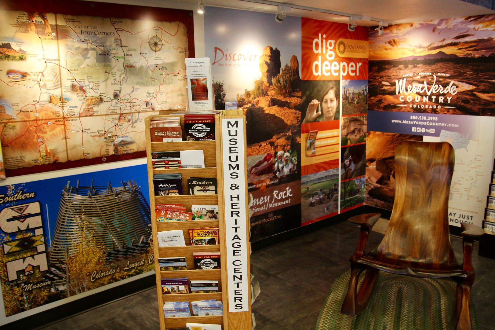
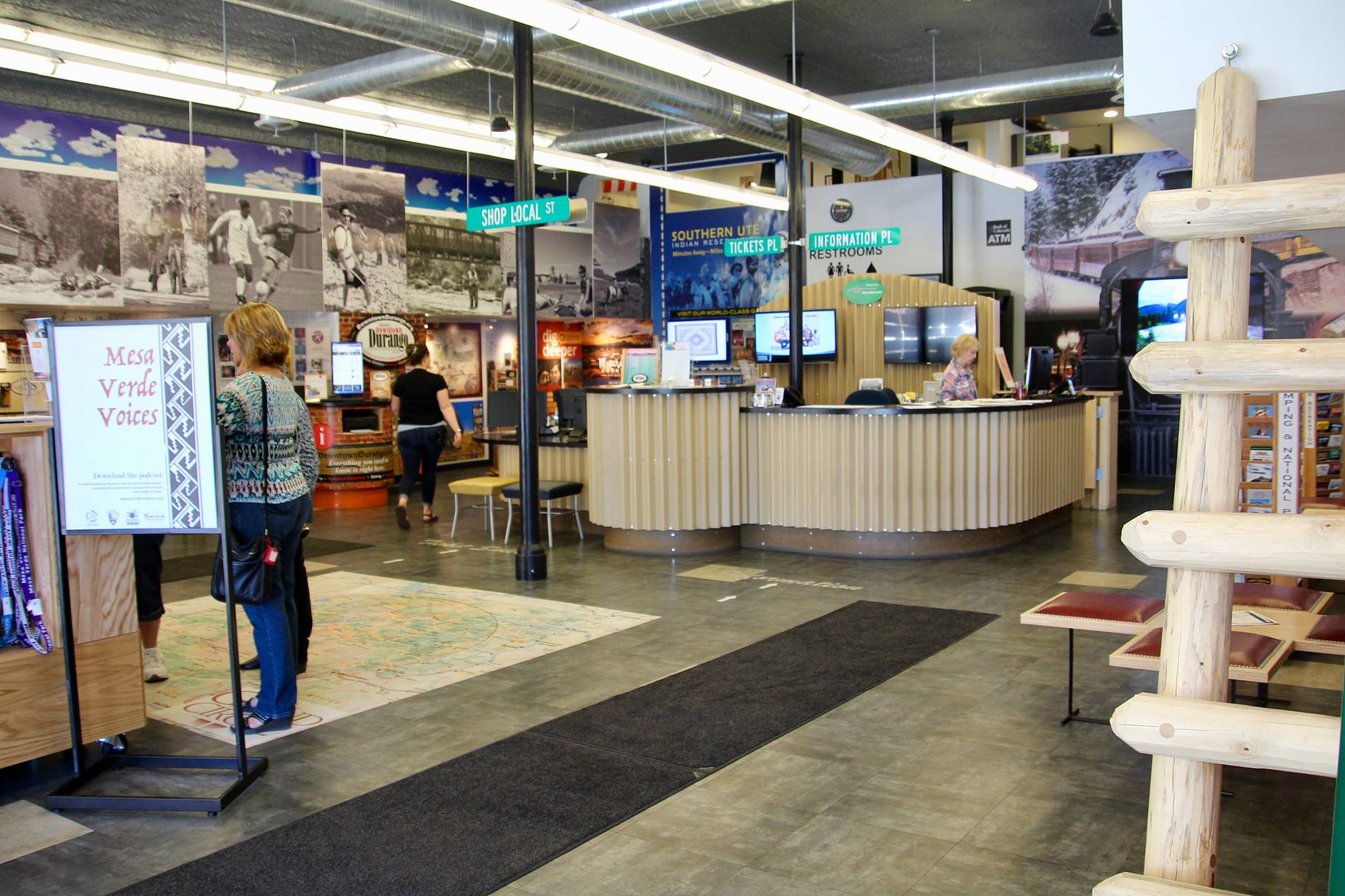
Durango is about 28 miles from Mesa Verde RV Park (where we were staying). Wanting to see this town in SW CO, we drove to the Visitor Center to determine what we might want to do there. They had tons of information about the area and very helpful staff (www.durango.org/listings/category/historic-downtown).

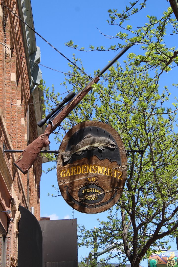
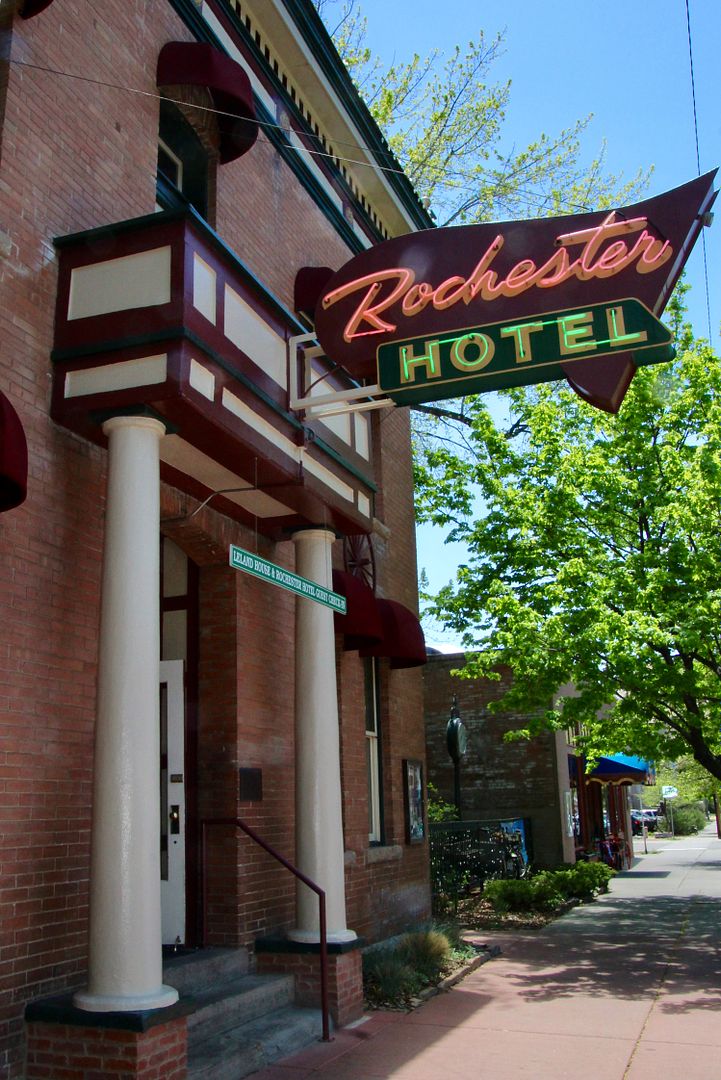
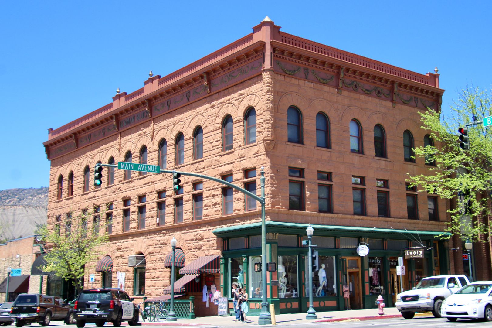
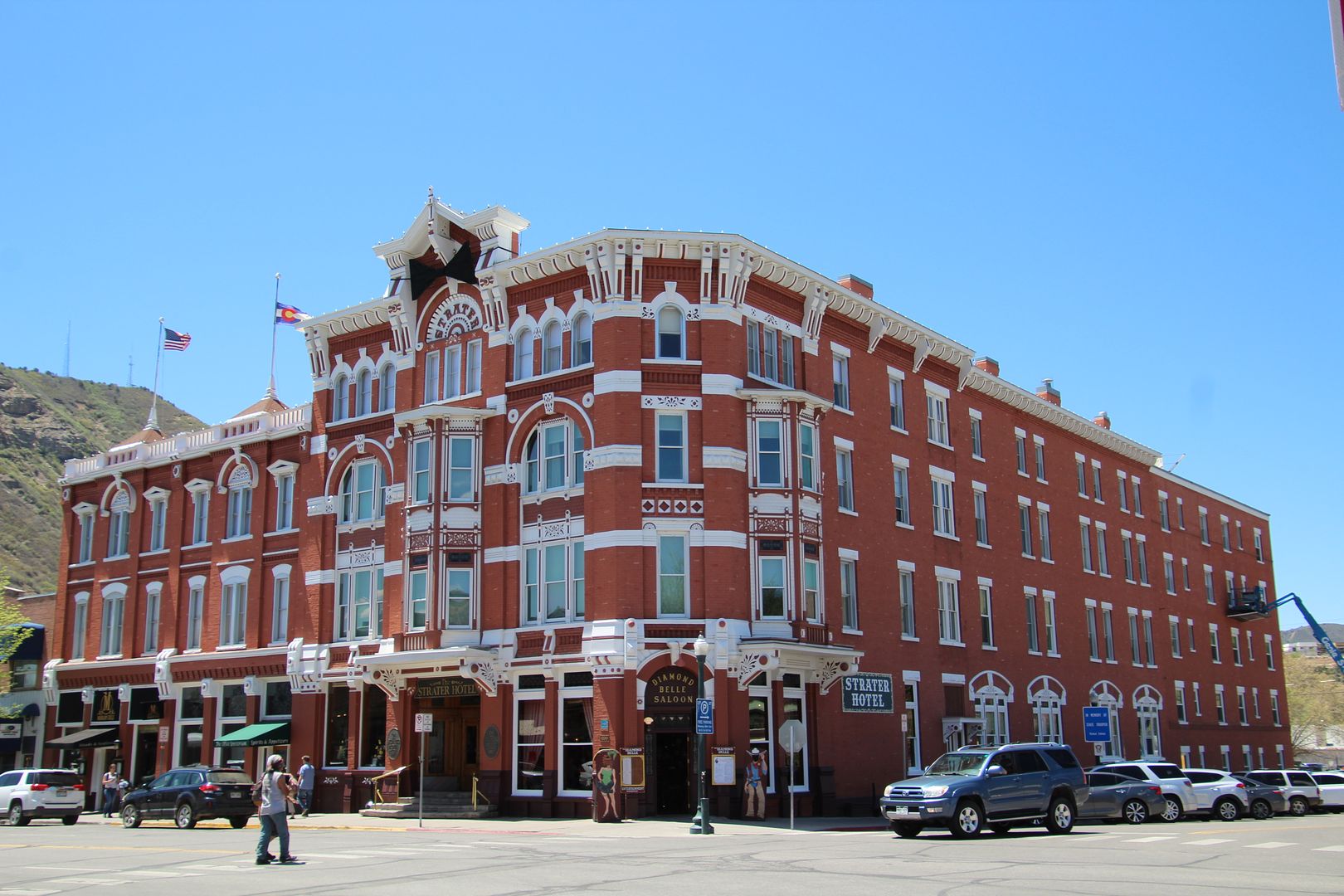
First, we walked around the Historic District where many buildings from the late 1800s are still in use. The grand Strater Hotel opened in 1888 and The Rochester in 1892. Both have been fully renovated. 


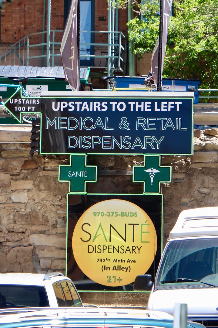
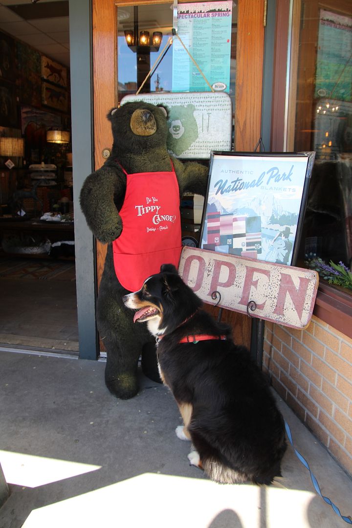
Our sweet doggie, Sadie, did not know what to think of this stuffed bear! And seeing marijuana dispensaries here in CO is still surprising to us.  

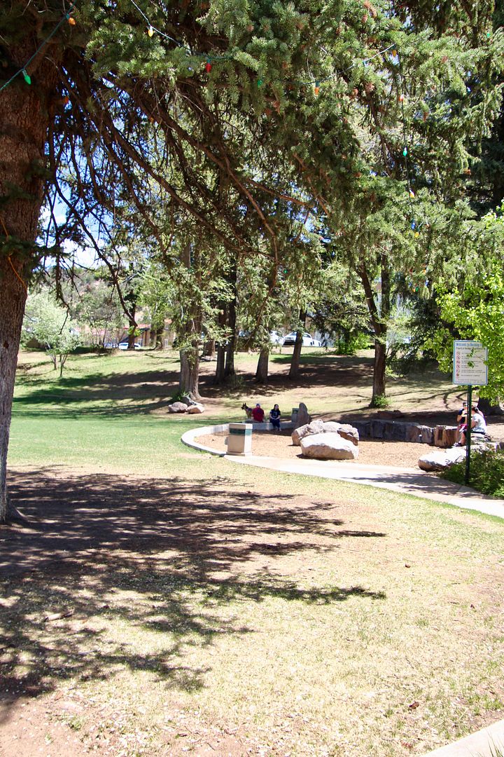
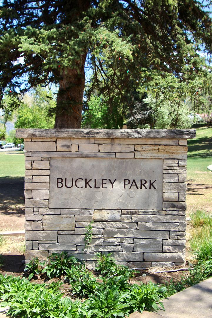
And, we walked through Buckley Park...a nice oasis in this town of 8,000.

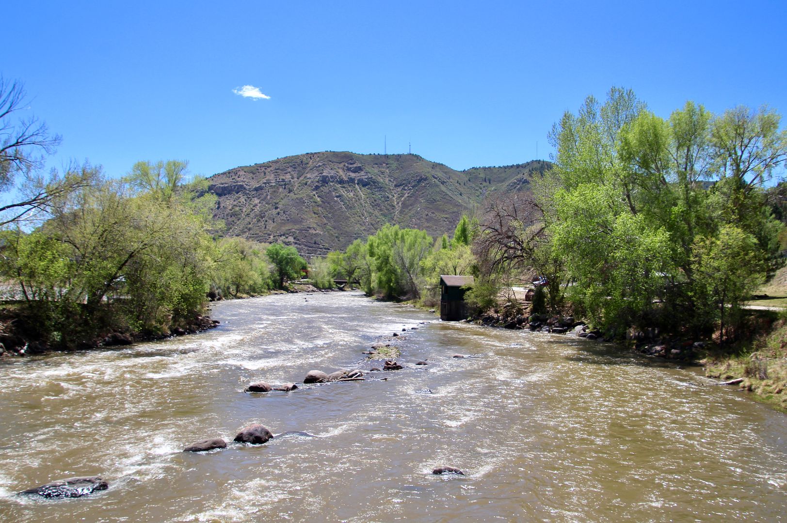
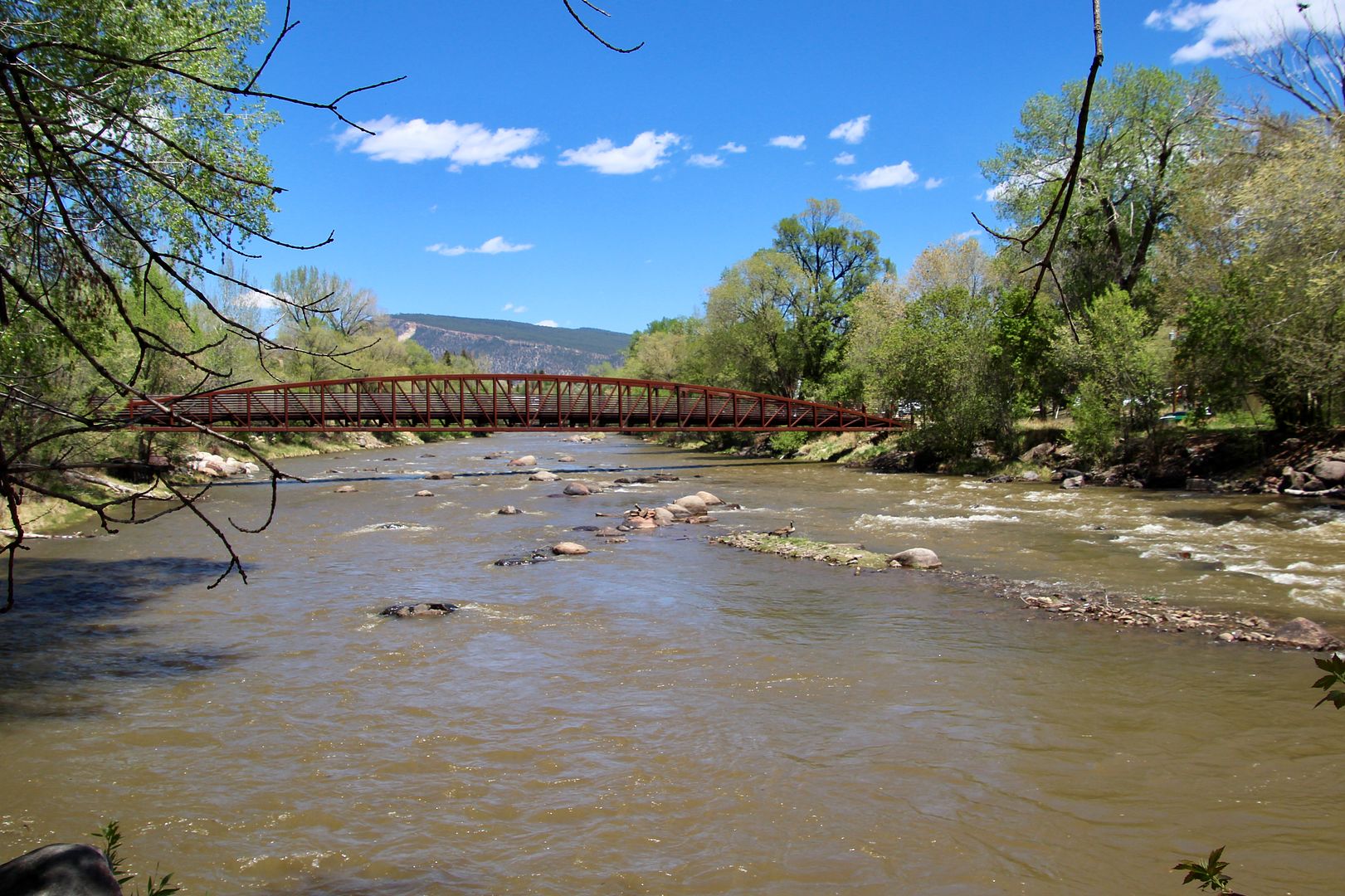
The Animas River runs through Durango. The Animas River Trail at Riverfront Park is a great way to enjoy it. 

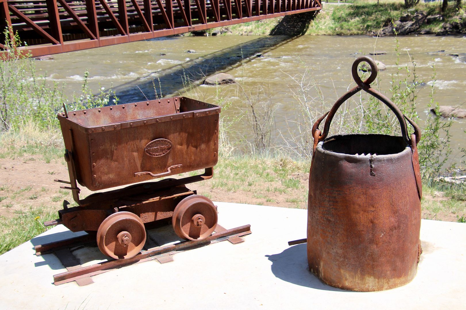
Mining artifacts used in the region are on display near the bridge. 

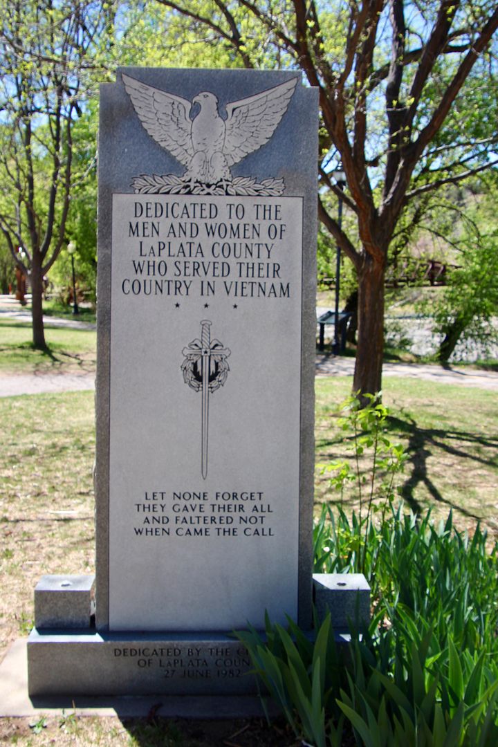
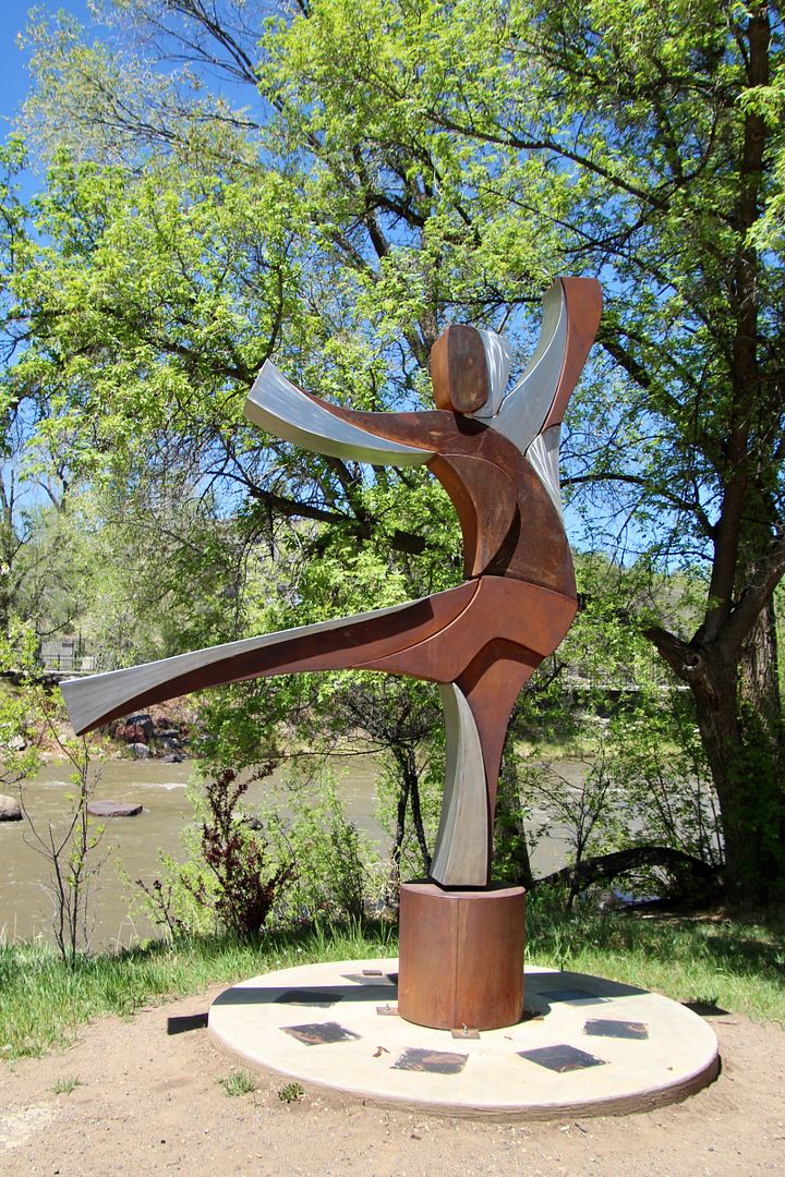
As we walked along the trail, we came upon this sculpture and Viet Nam Memorial. Both were very fitting along the scenic banks of the river.


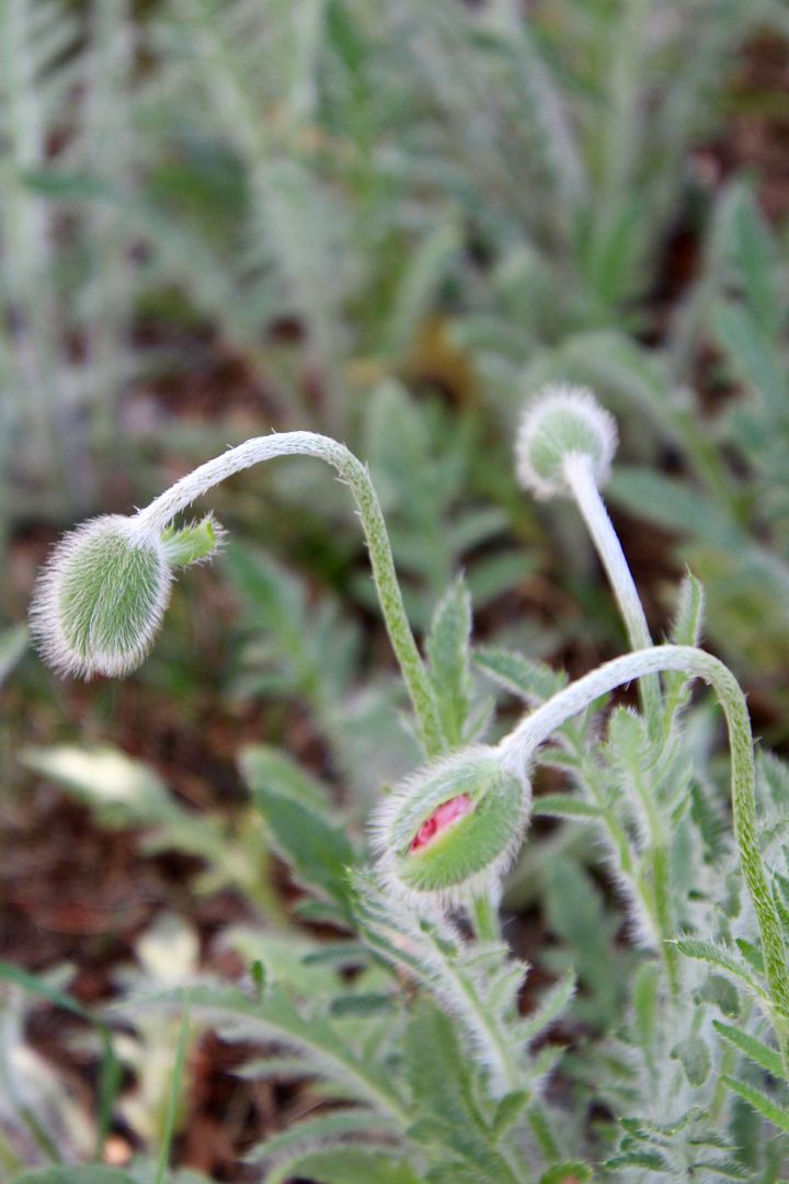
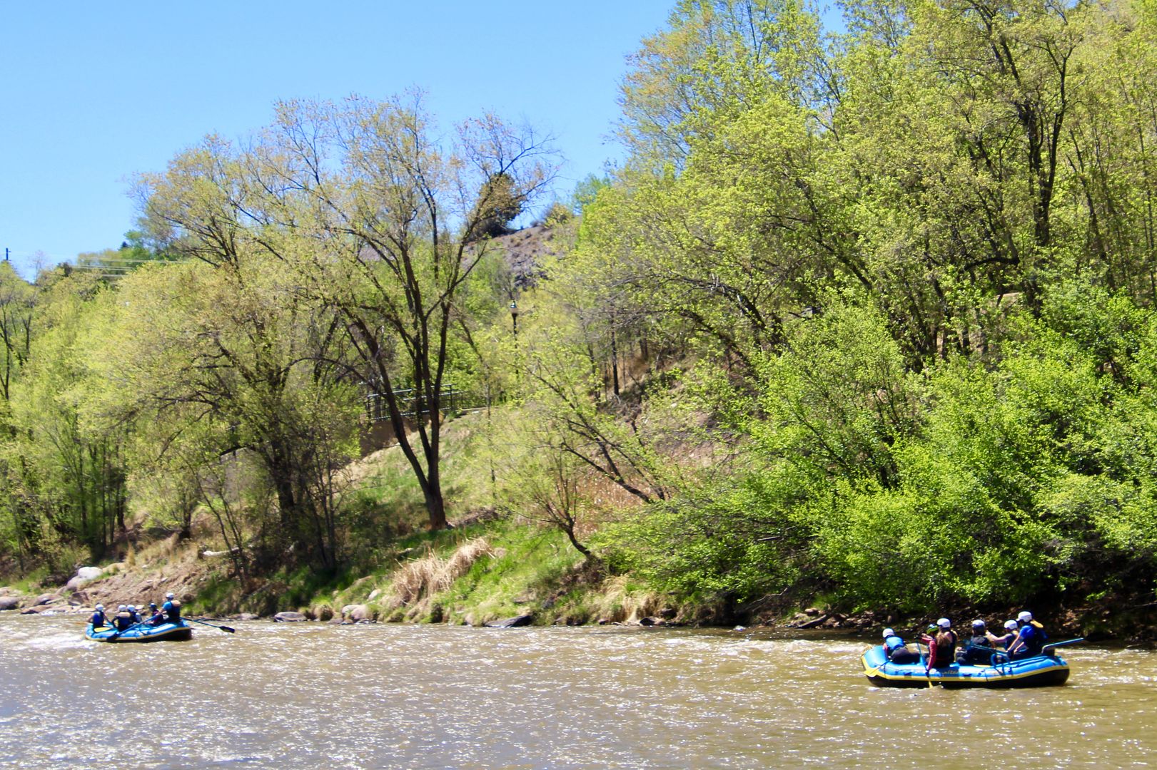
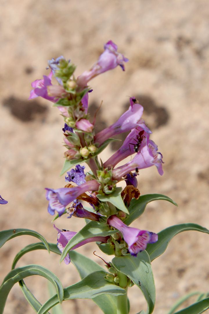
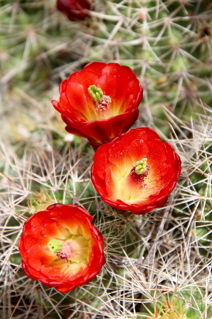
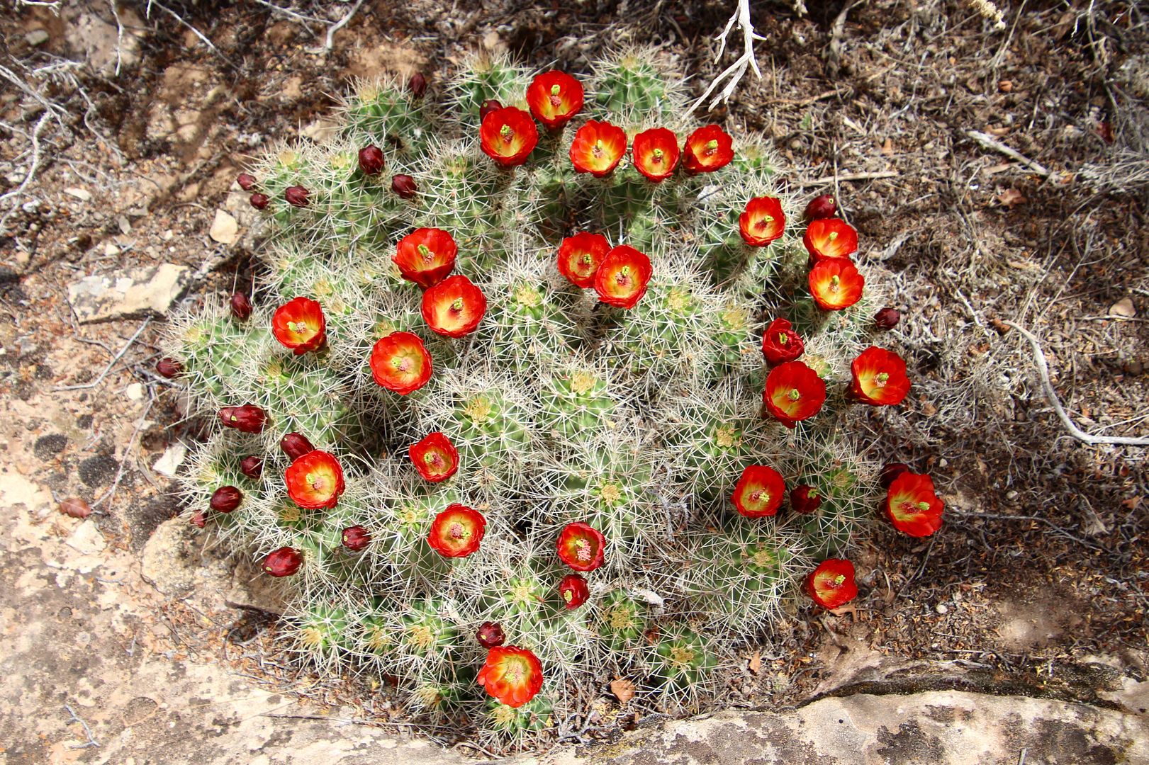
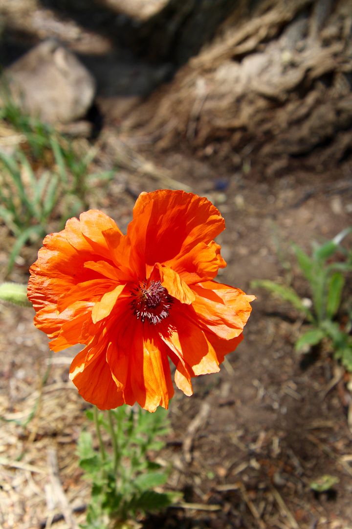
As usual, I snapped a couple of close-ups of flowers. Rafting, kayaking and canoeing are popular activities on the Animas River. 


Returning to our car, we headed to the San Juan Skyway, considered one of the most scenic areas in the country. We decided to drive to Ouray, CO (75 miles from Durango), not the entire loop drive (over 200 miles). Paleo Indians first arrived in the San Juan Mountains about 10,000 years ago. Ute Indians hunted and gathered in the wilderness of San Juan Mountains for several thousand years. 

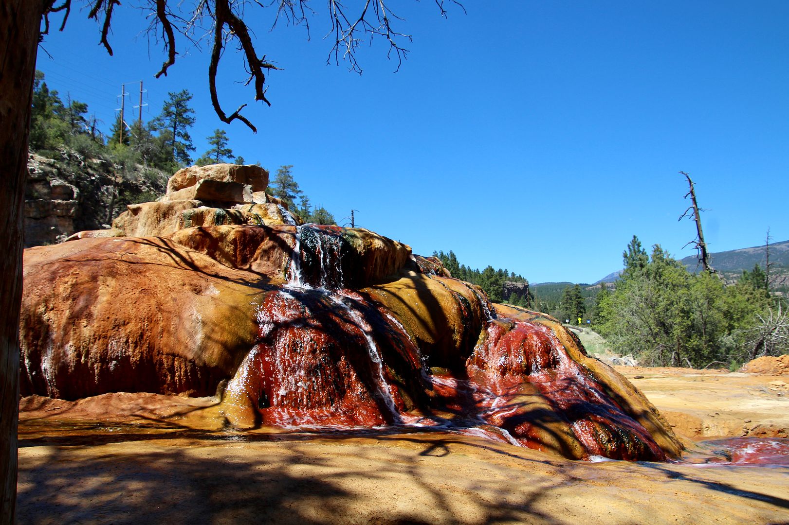
Our first stop along the scenic drive was at Pinkerton Hot Springs. Although this area was Ute territory, settlers began invading it in the 1860s. Pinkerton was a judge who raised cattle here and built a bath complex for his guests (1878). Pinkerton-in-the-Pines Resort eventually followed where a large, naturally-heated pool was available for use by guests. 

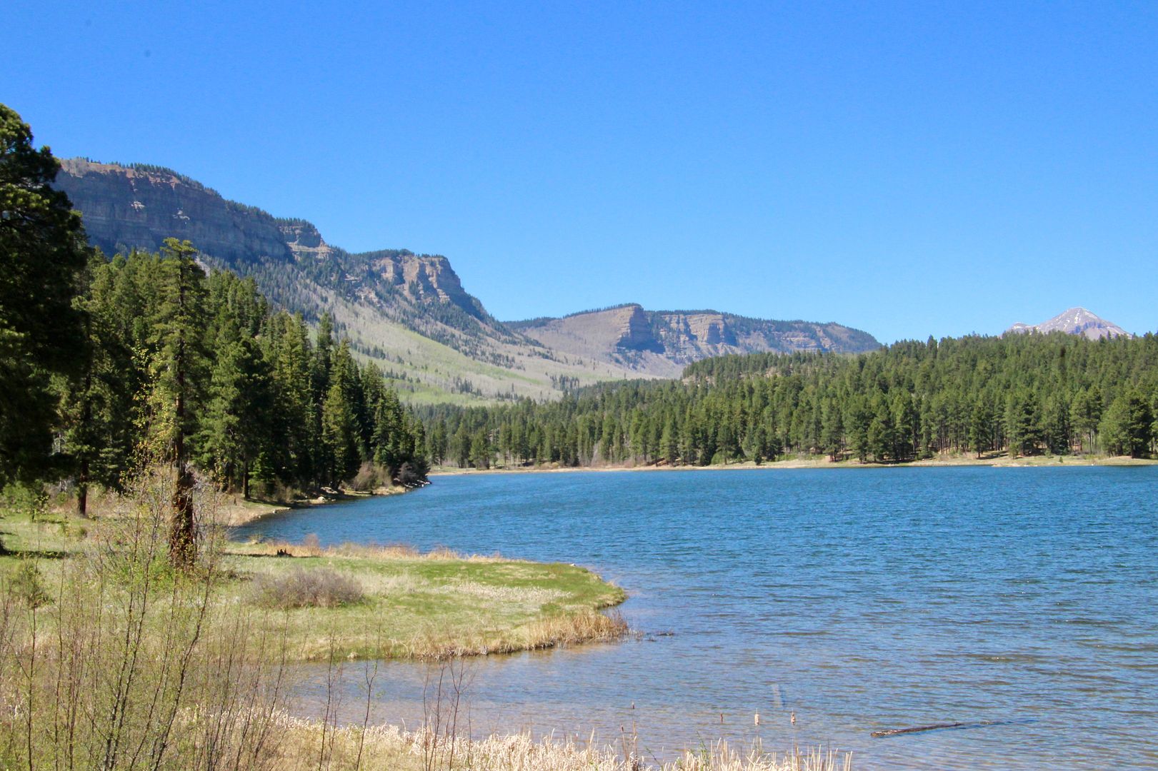
Below is Haviland Lake, part of a State Wildlife Area. 


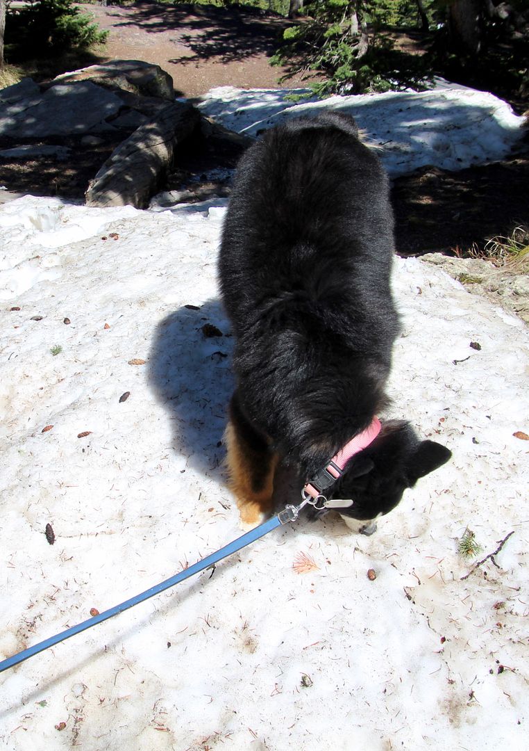
At Cool Bank Pass (elevation 10,660), our sweet doggie, Sadie, had fun eating some snow. There are over 100 avalanche paths across the highway from here to Ouray. Those traveling through the region must check avalanche risks in advance as they can be deadly. 


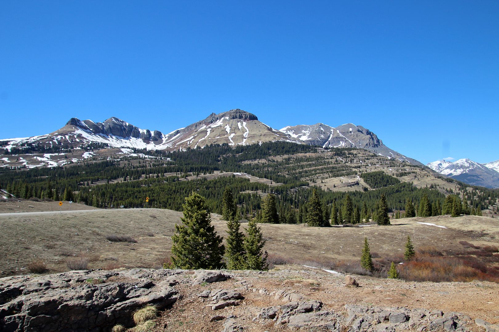
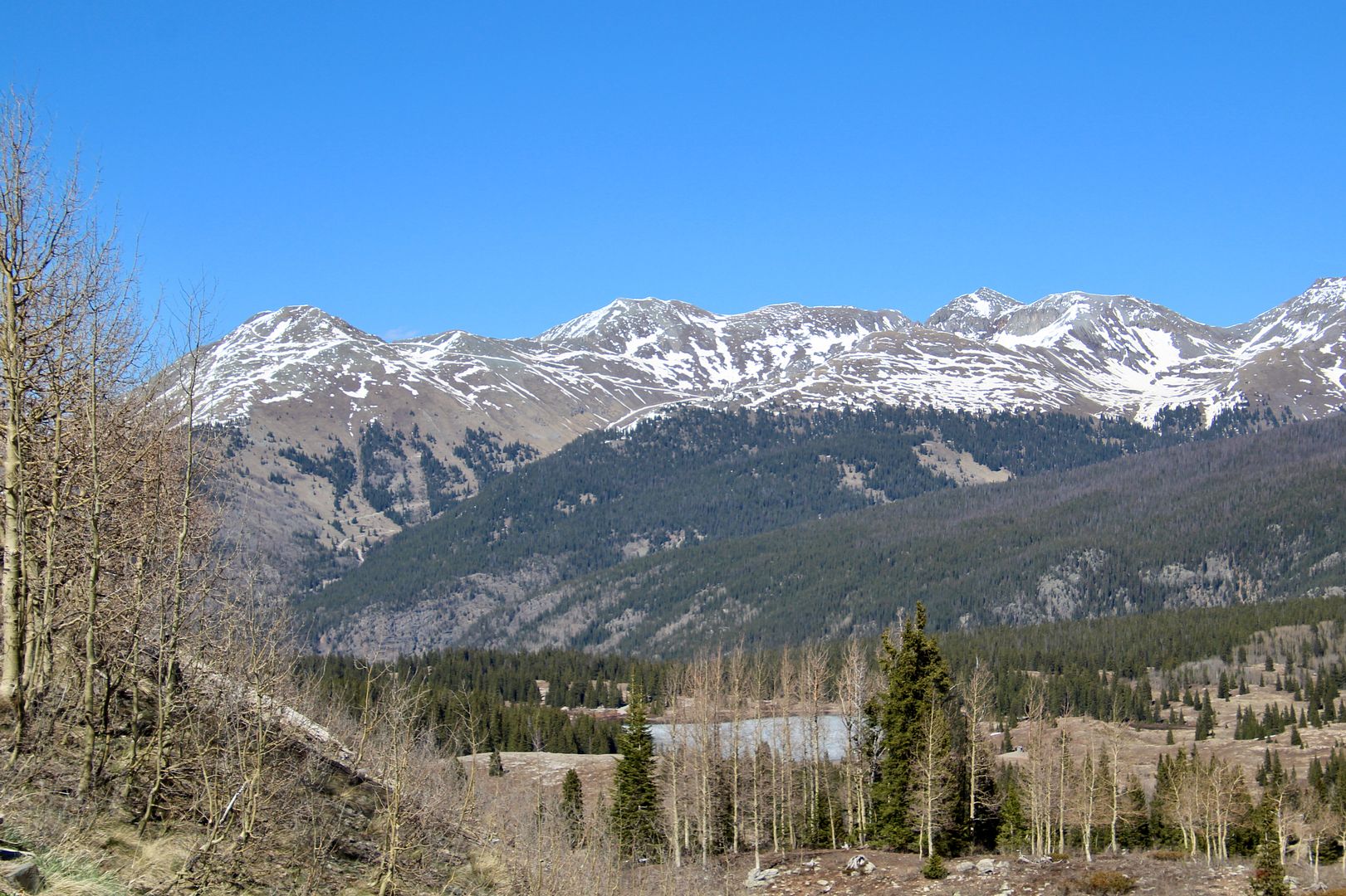
Molas Pass Recreation Area was our next stop (elevation 10,899’). A popular ski area in the winter; hiking and water activities at Andrews Lake are available during warmer weather.


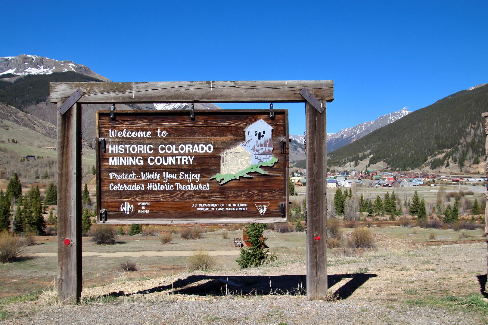
Founded in 1874, Silverton is a National Historic Landmark today. The elaborate Victorian buildings reflect the millions of dollars of gold and silver mined here. At the peak of its mining years, there were over 40 gambling halls, saloons, and sporting houses. 
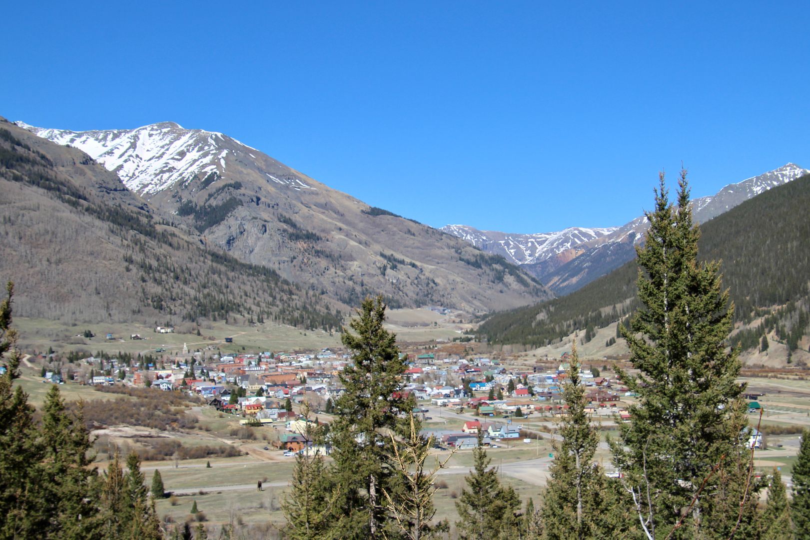


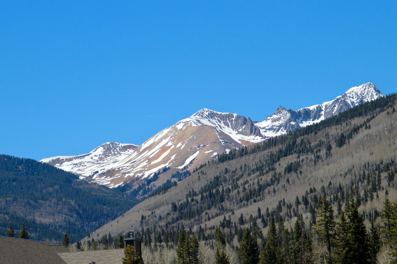
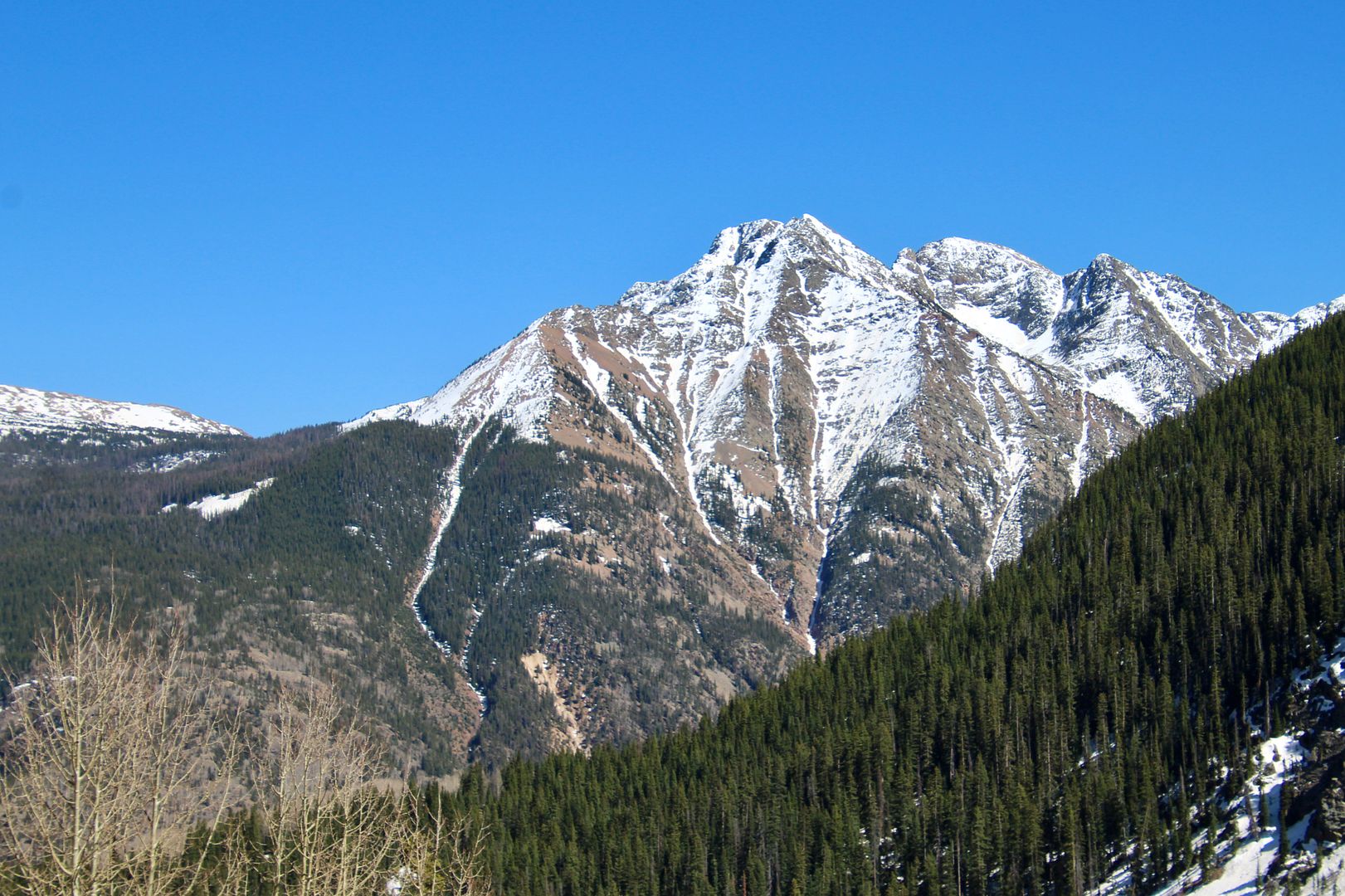
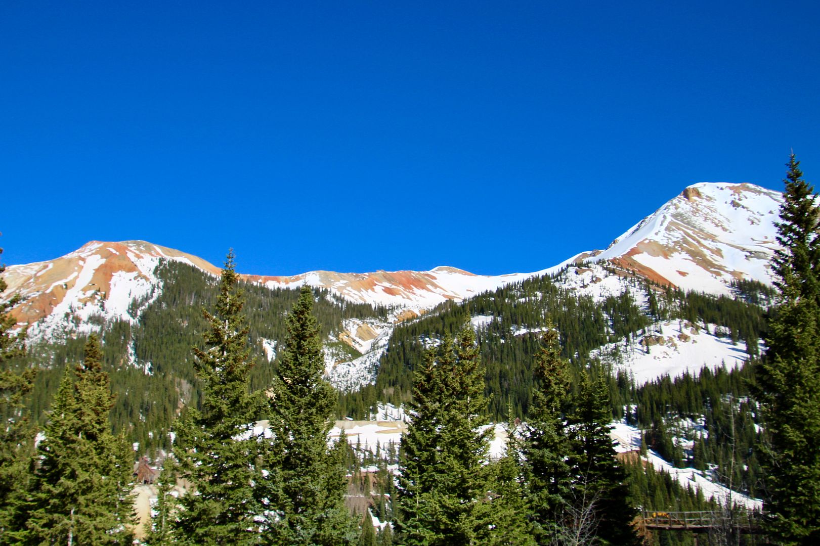
There were still lots of snow-covered mountains along this scenic route. 
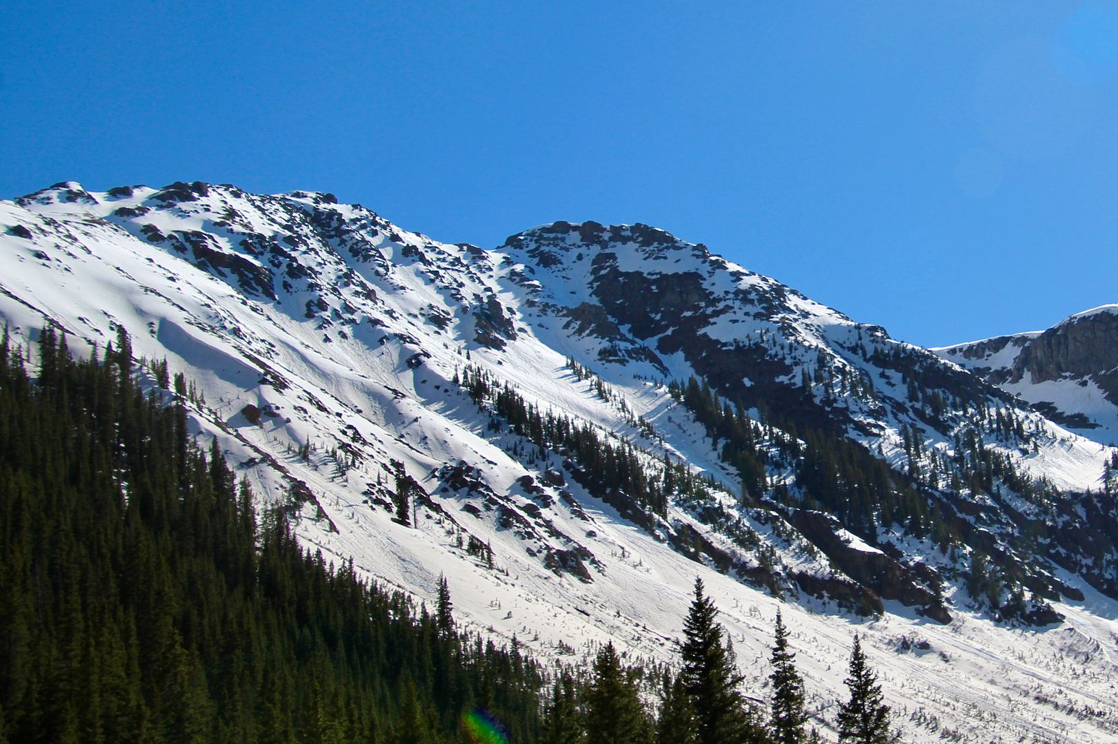

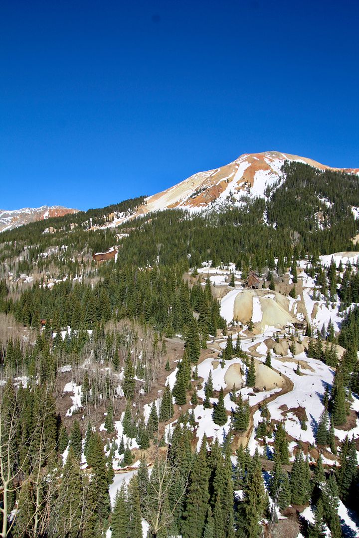
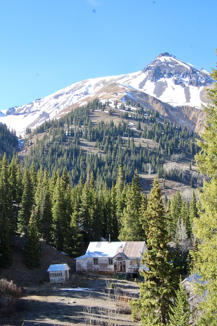
Mining began in the 1870s in the Red Mountains. In a 17-square mile area, there were over 100 historic mines that produced: 4M ounces of gold, 21M ounces of silver, 12M tons of lead, zinc and copper. Wow!
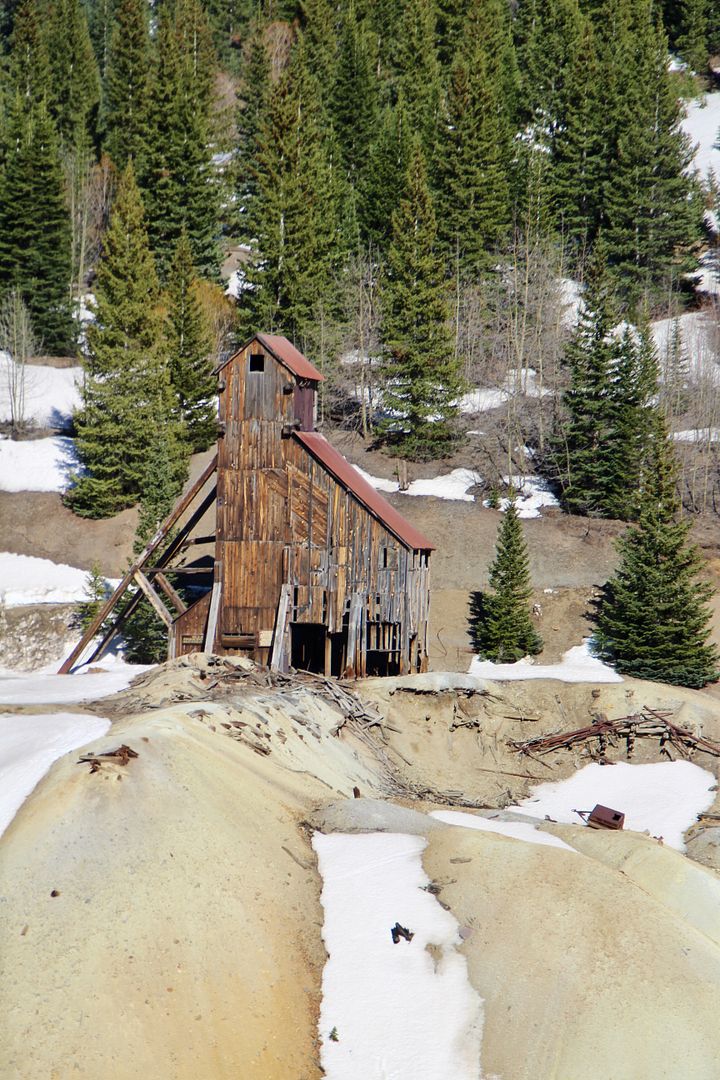


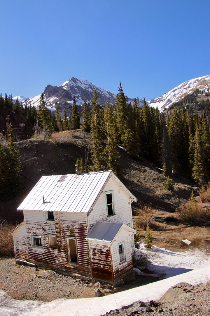
The Idarado Mine Trestle was used to remove and dump waste rock from the Idarado Mine (closed in 1978). Nearby are remnants of a small mining community. In the 1980s, Idarado Mining Company began remediation work here to improve water quality and aquatic habitat (even though they did not own the mines that left the debris behind). 
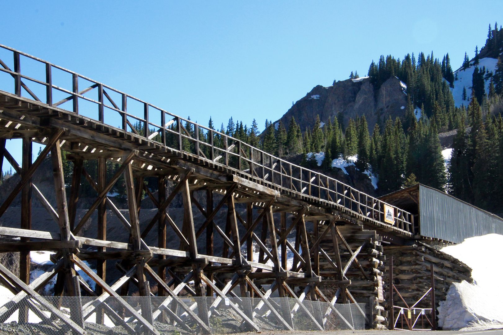


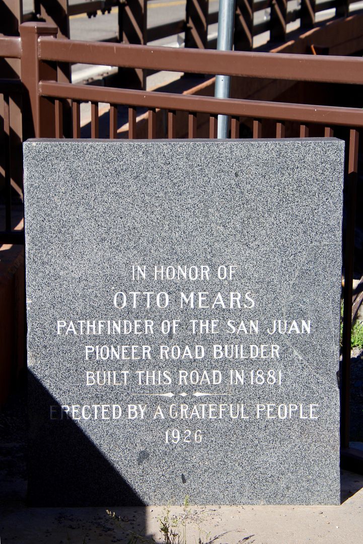
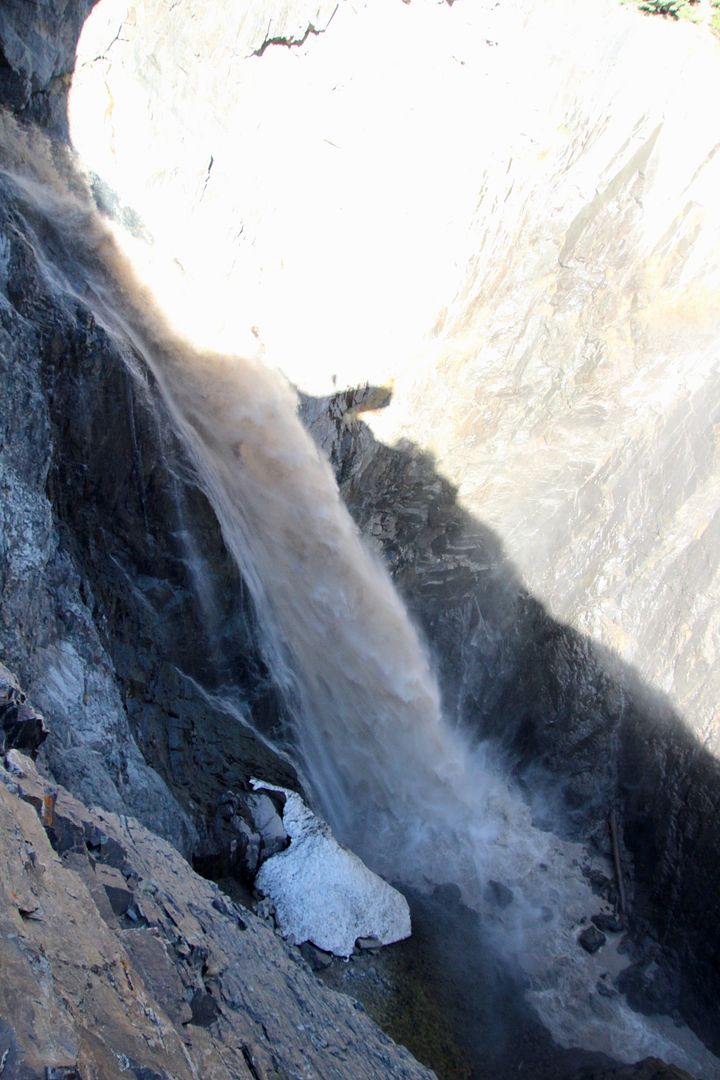
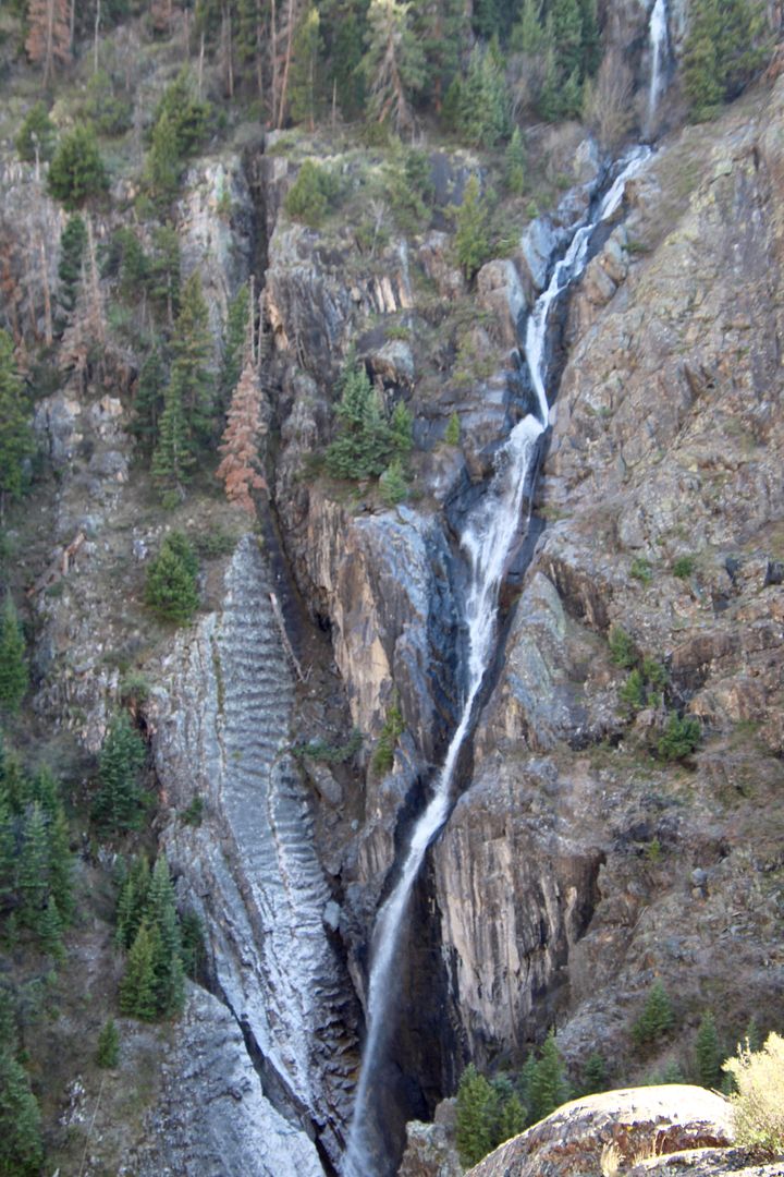
Our next stop was at scenic Bear Creek Falls where a new bridge was constructed in 2010. This was the location in the late 1800s where a toll both was situated. Otto Mears and Fred Walsen built the 12-mile Ouray & Red Mountain Toll Road through the treacherous Uncompahgre River Canyon. The cost was $10,000 per mile, an astronomical expense at the time. They collected $5/wagon and $1/head of livestock at the booth. In 1891, Ouray County took control of the road; and then in 1917 by the Colorado Highway Department. 
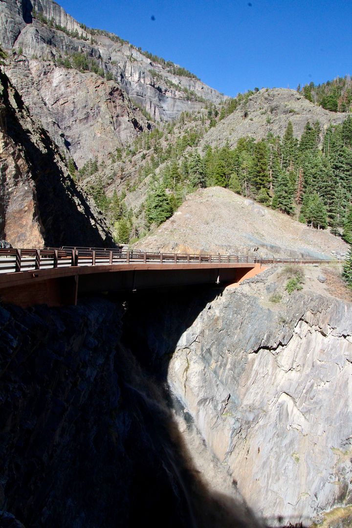


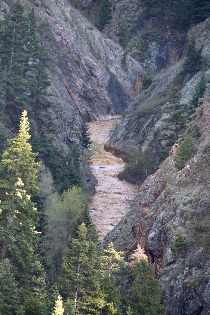
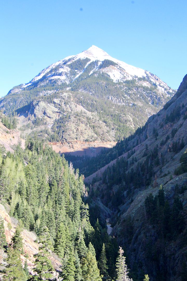
In the distance is Mt. Abrams (volcanic mountain) and the Uncompahgre River can be seen at the bottom on the canyon.

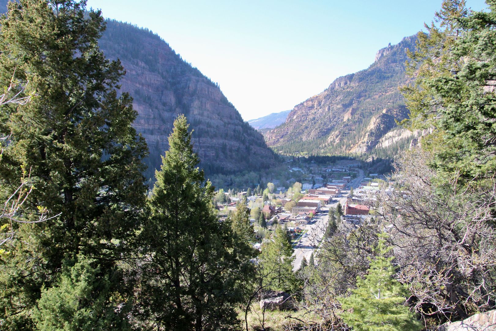
Look Out Point at Ouray, CO, provides a great view of the historic town. 

We returned to Mancos via Durango having thoroughly enjoyed the beauty of the San Juan Mountains. If you like scenic drives, don’t miss the Million Dollar Highway section between Silverton and Ouray on the Skyway. 

Monday, June 4, 2018

Quick Detour to Four Corners Monument, 5/07/2018

As we were driving back to Mesa Verde after visiting Hovenweep, we saw that Four Corners was only about 20 miles away. The idea of standing in four states at the same time is so fun, that we decided to take the time to swing by this unique place.
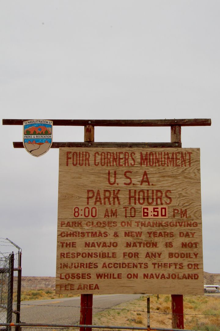
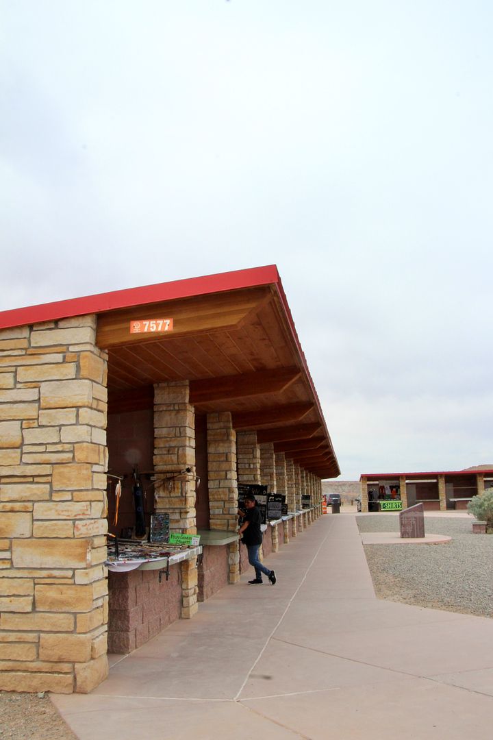
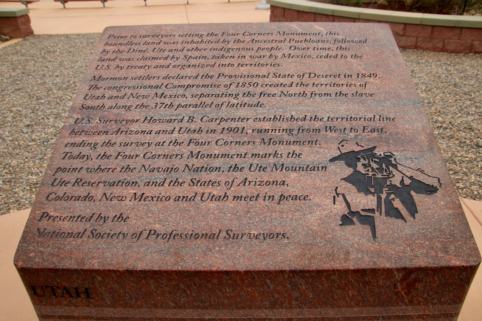
The Four Corners Monument marks the quadrupoint in the SW US where the states of Arizona, Colorado, New Mexico and Utah meet. This is the only point in the US where this occurs. Two semi-autonomous Native American tribal governments (Navajo and Ute) manage the site (as both have territorial boundaries at the monument). There is an admission fee (if I recall correctly, it is $5/adult). Local Navajo and Ute artisans sell souvenirs and food at the site.


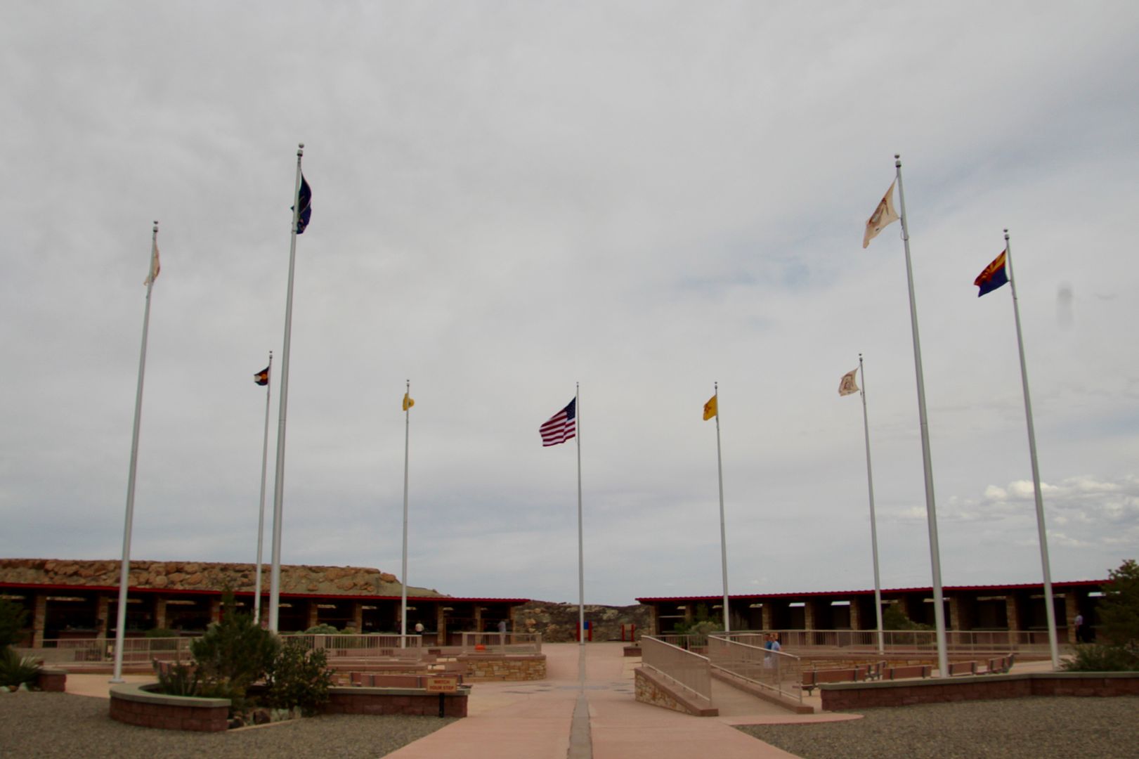
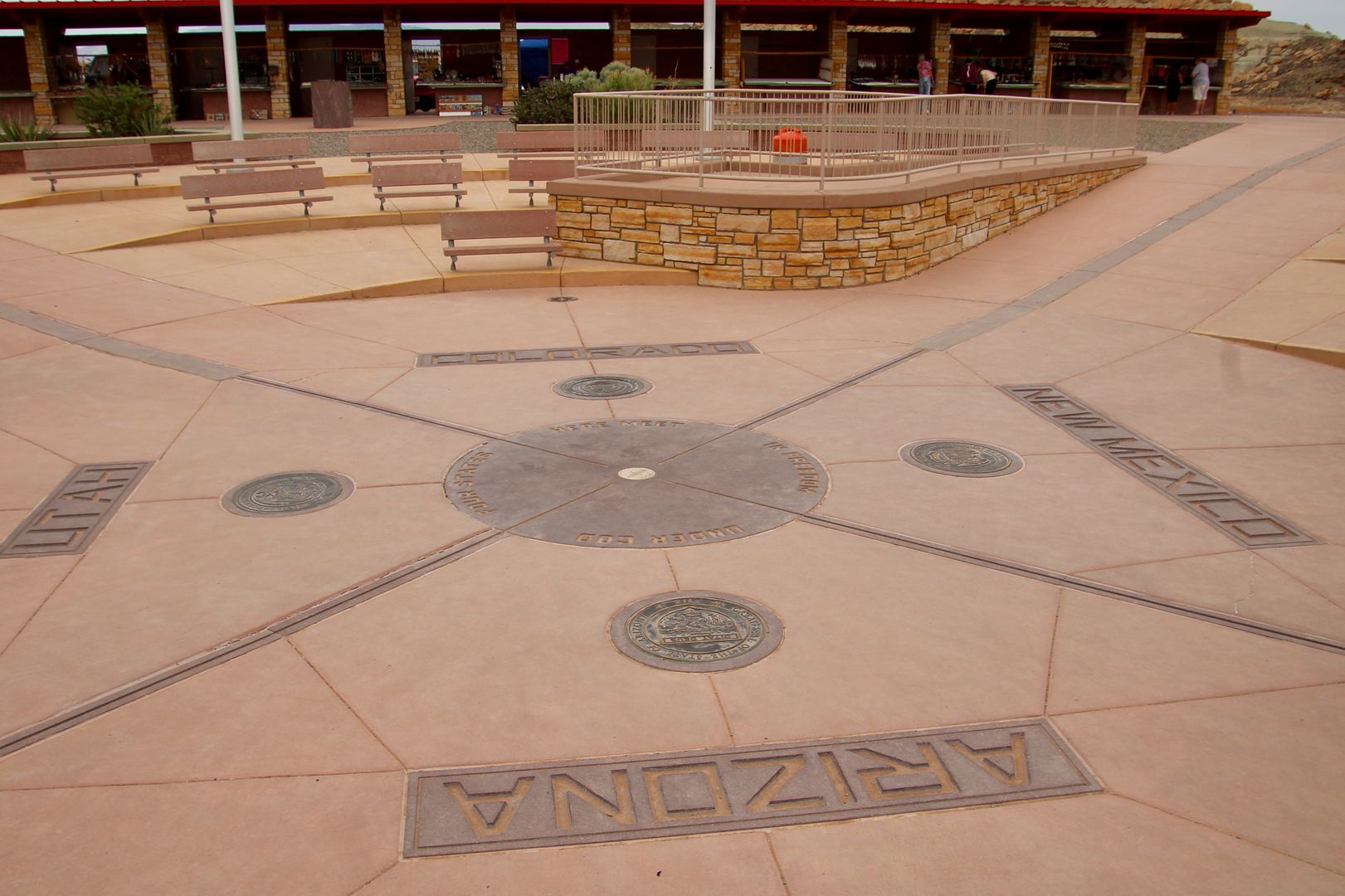
Flags of Navajo Nation, Mountain Ute Tribe, Arizona, Colorado, New Mexico and Utah fly over the site. 


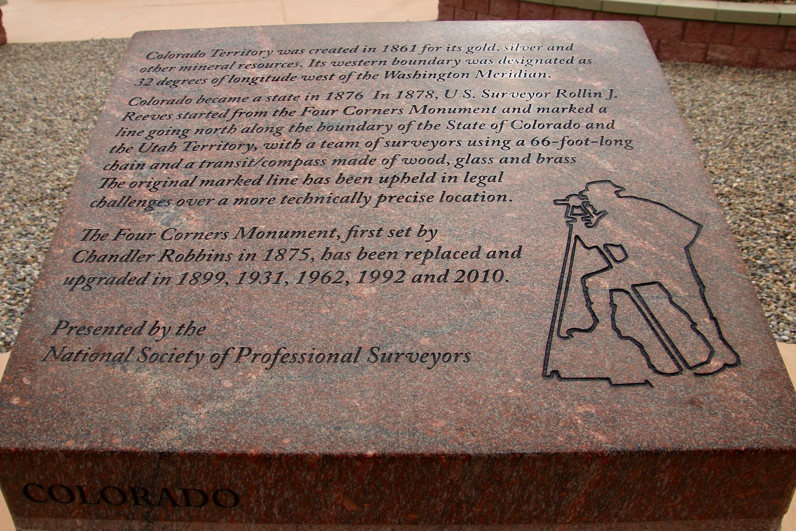
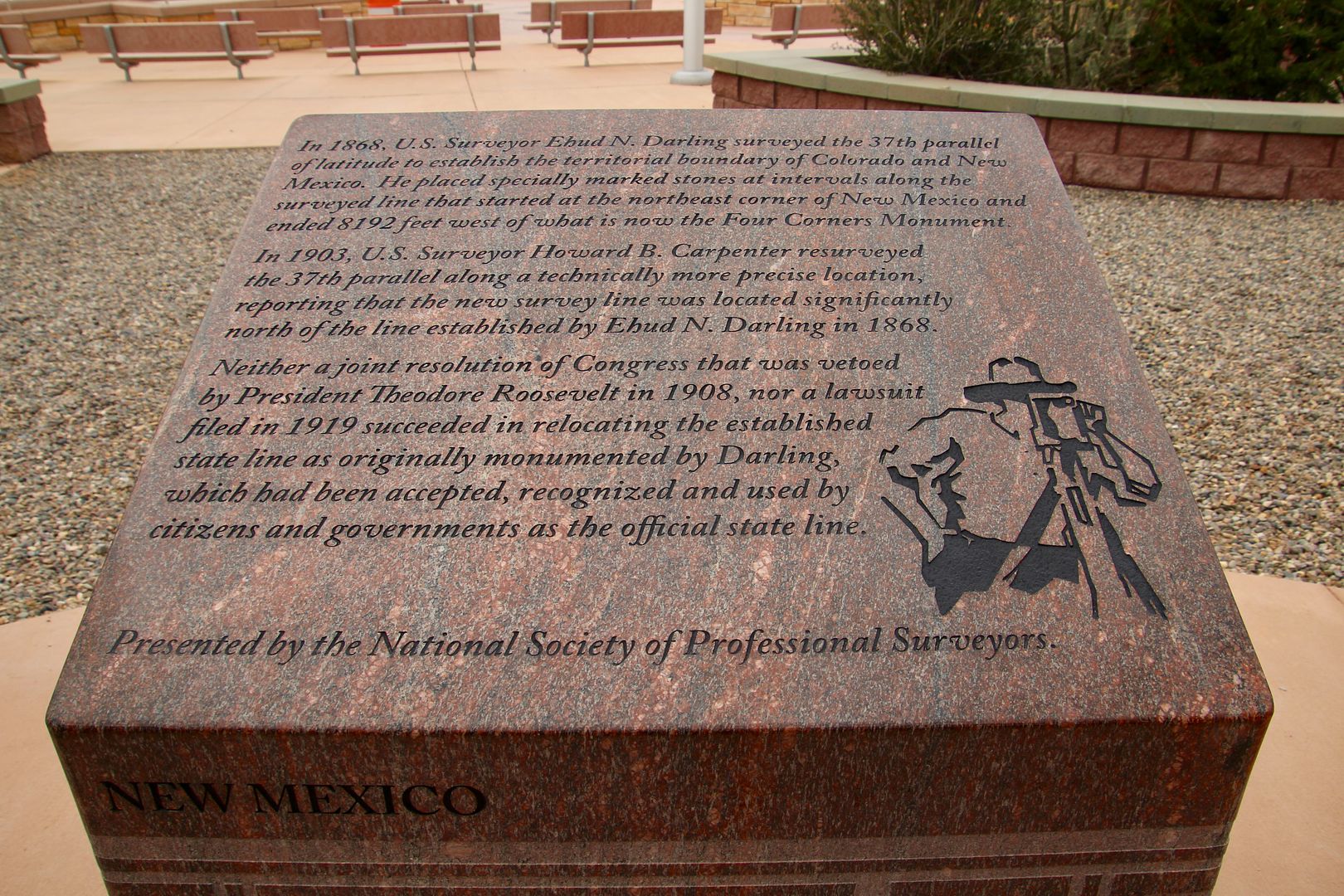
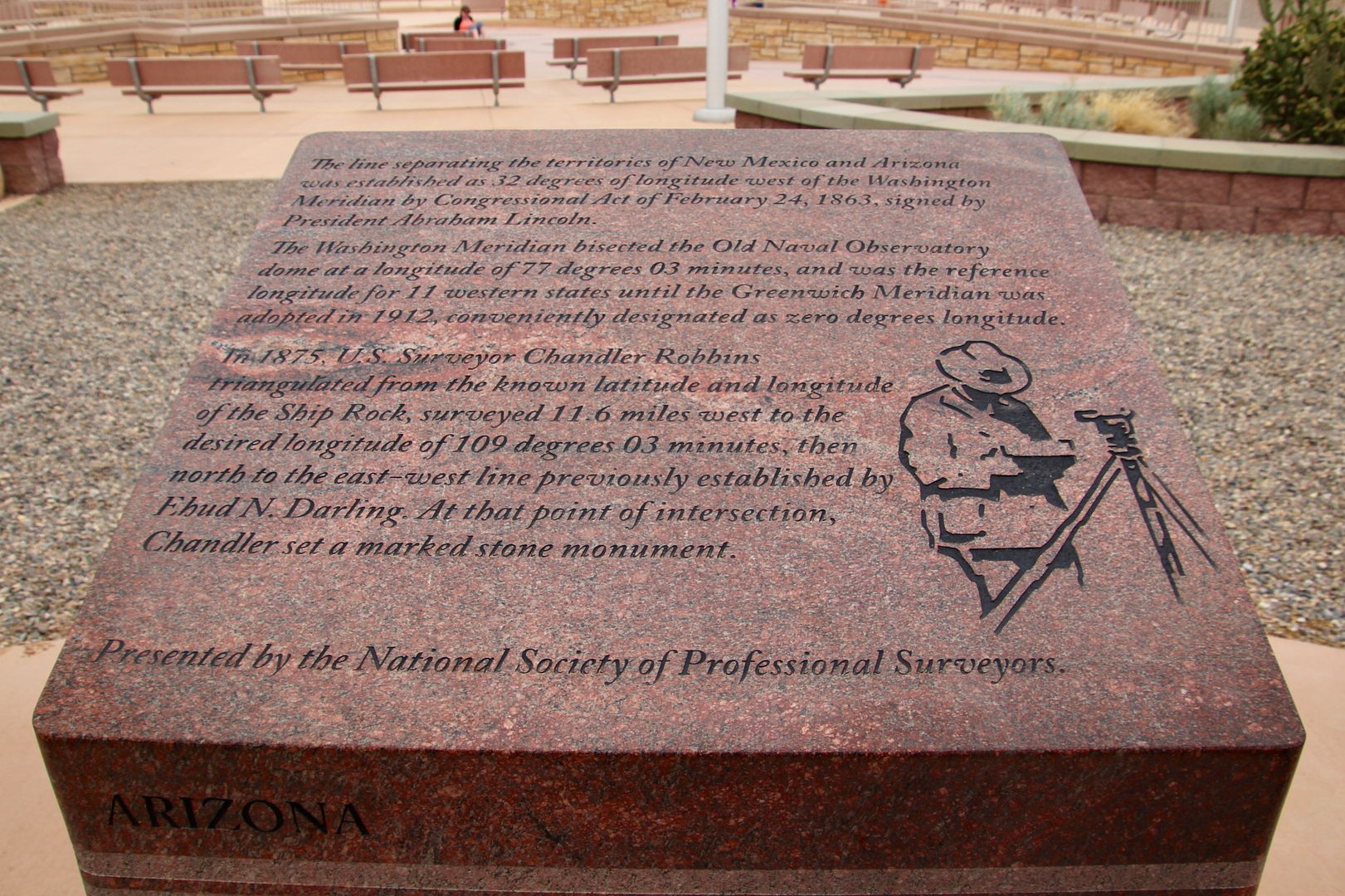
Surveying in the 1860s marked the state boundaries at this spot. Today, there is some controversy about the accuracy (due to the lack of sophistication in surveying instruments at the time). Courts have ruled, however, that the state boundaries stand. As you walk around the site, there is a marker about each of the four states.


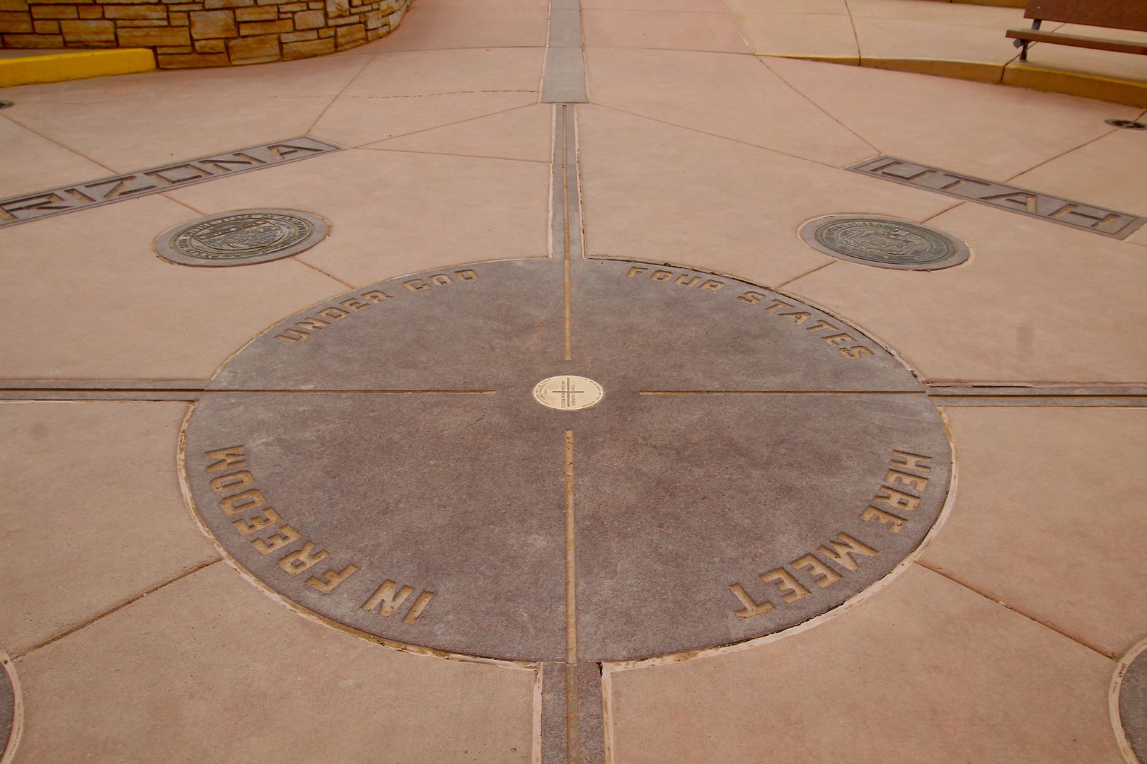
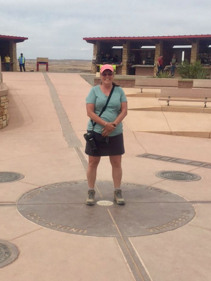
A granite disk embedded in the concrete with a smaller bronze disk on the point where the four states meet.


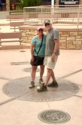
We, of course, had to snap a couple of photos of use standing in all four states. 


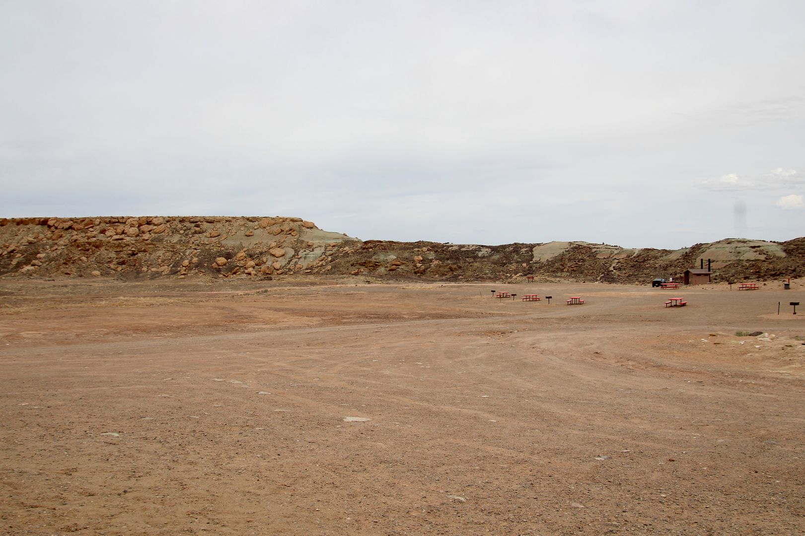
There is a large picnic area near the monument for those interested in spending more time here. 


We did some browsing and purchased a couple of souvenir items. It’s a pretty cool place!

Sunday, June 3, 2018

Visiting Hovenweep National Monument, 5/07/2018

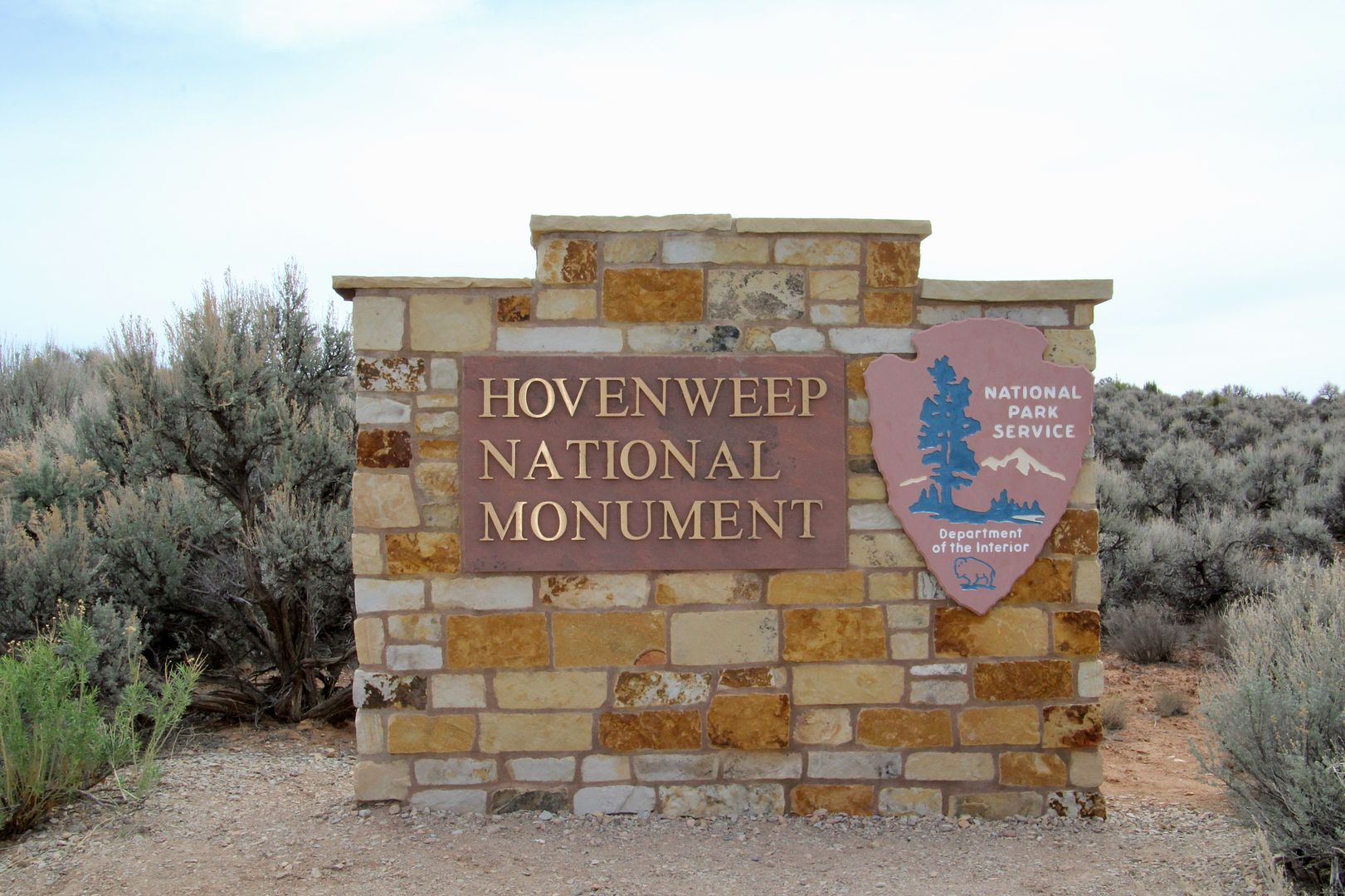
About 60 miles west of our park in Mesa Verde is Hovenweep National Monument.  With my newfound fascination in the Ancestral Pueblo culture, we decided it was worth the 1.25-hour drive to visit. 


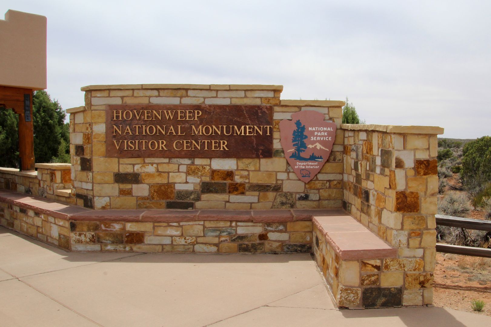
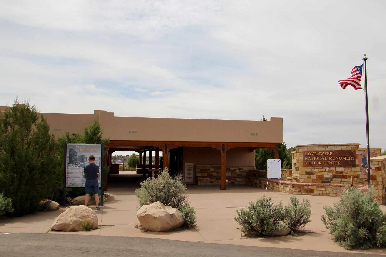
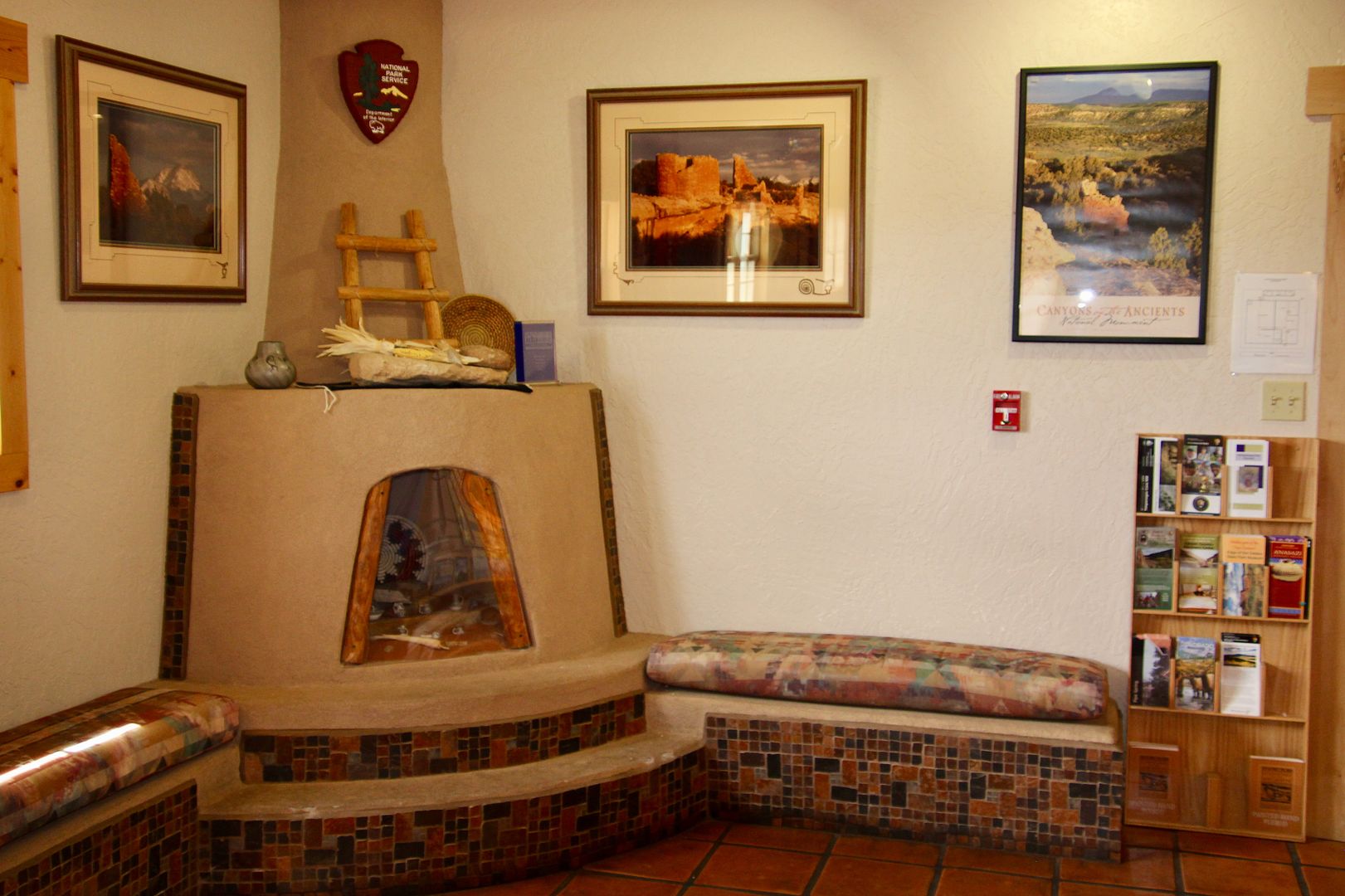
Our first stop, as always, was the Visitor Center. Displays provide background information about the Ancestral Pueblo culture that occupied the region from AD 500 to 1300. 


Archeological research has found that the people who lived here were farmers who cultivated fields on the mesa top. They created black-on-white pottery and mined turquoise used for barter with others. But, they are primarily known for their remarkable stone masonry and adobe structures. Here, there are elaborate cliff dwellings, multi-storied pueblos, and towers. 


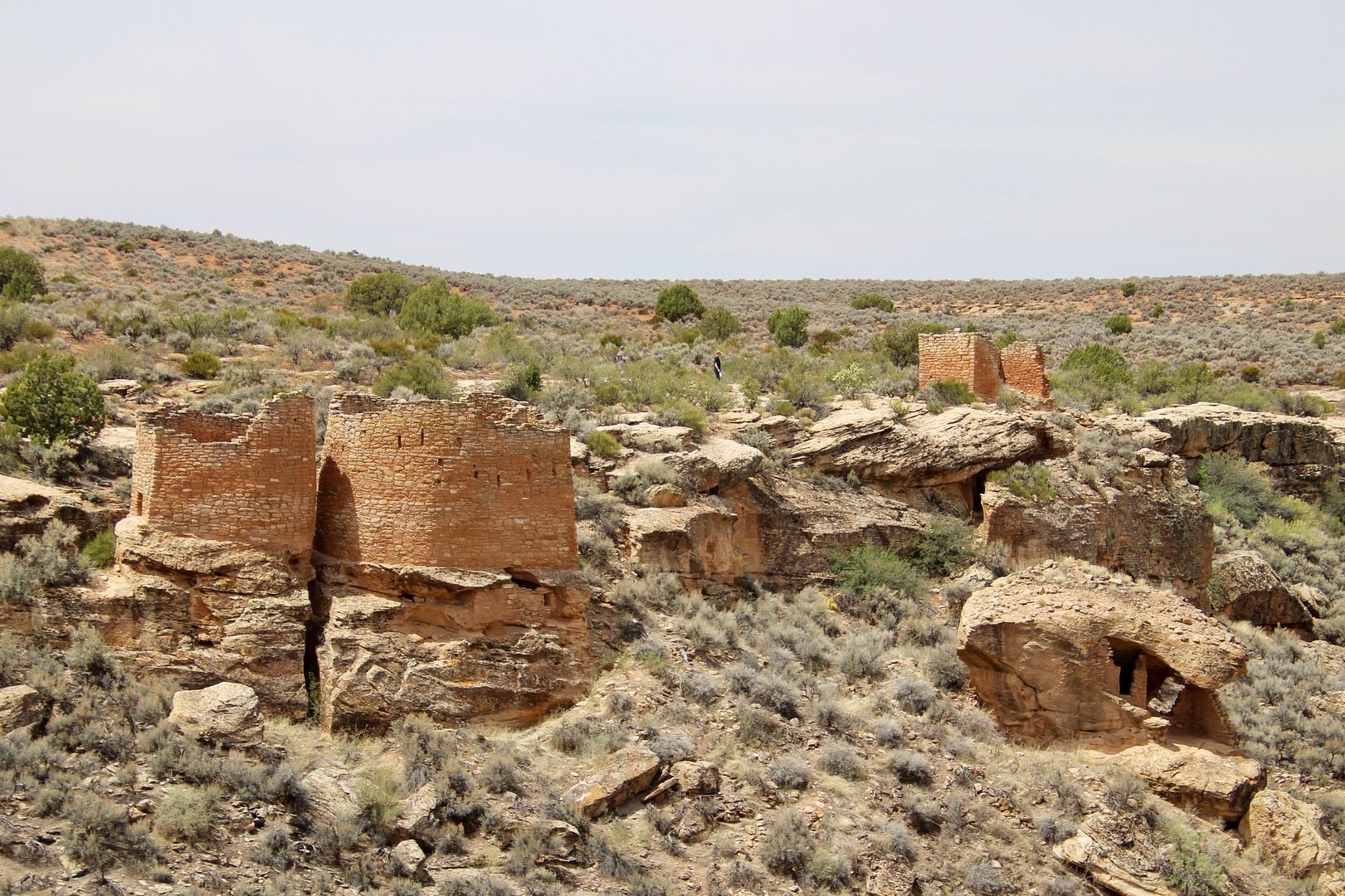
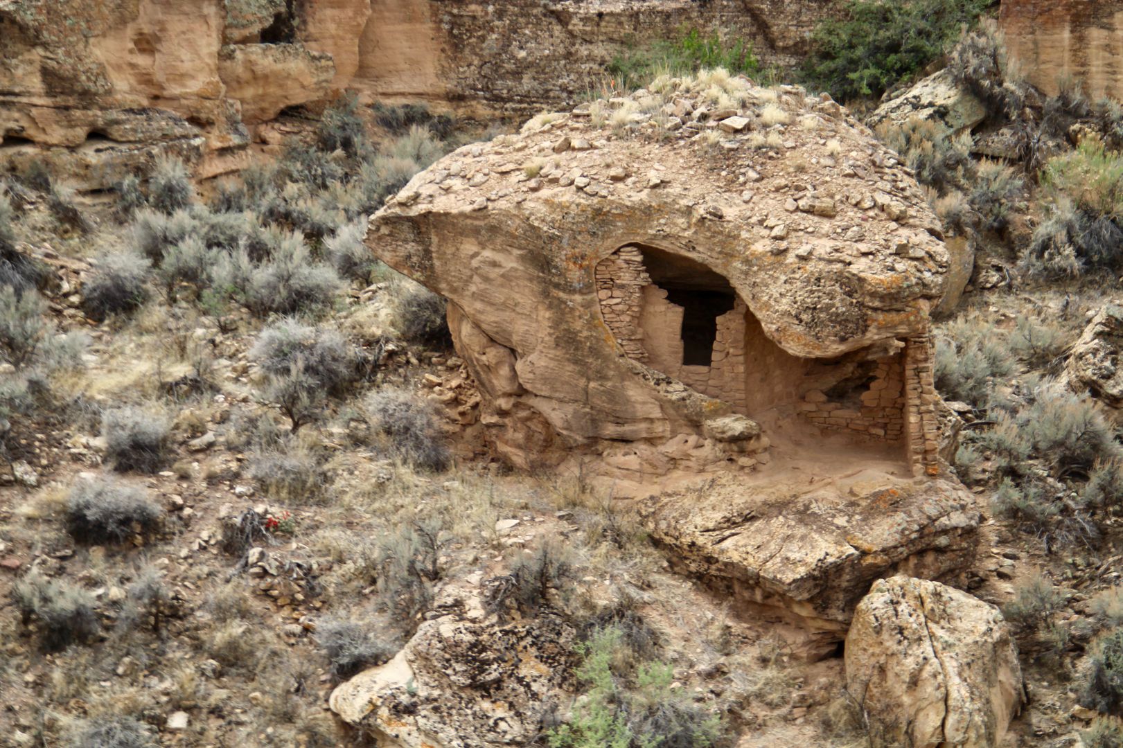
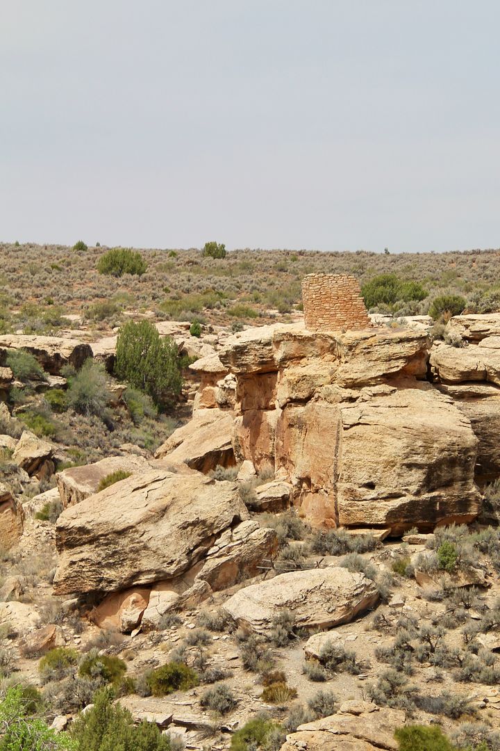
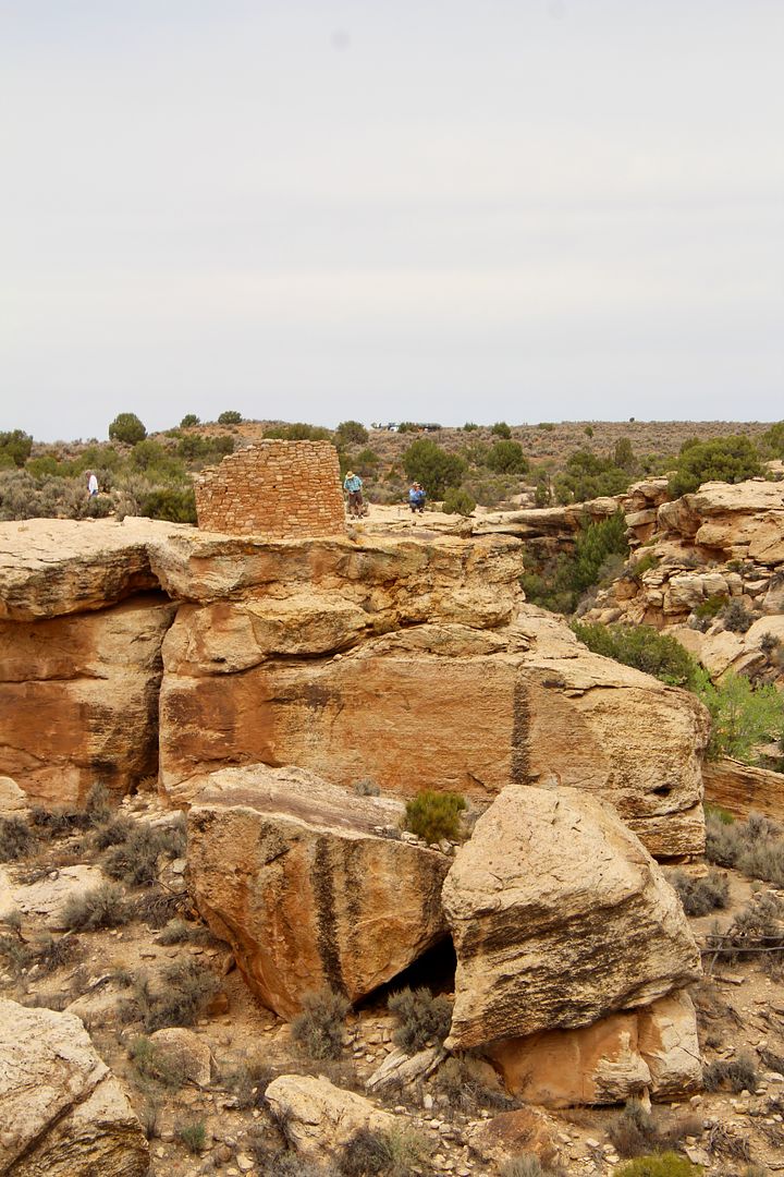
We picked up a guide to the Little Ruin Trail (2-mile loop hiking trail) that starts at the rear of the visitor center. From the first overlook we came to, you can see three of the archeological sites in the Little Ruin Canyon (clockwise): Twin Towers and Rim Rock House were built on the canyon rim while and the Eroded Boulder House was built in the canyon. 


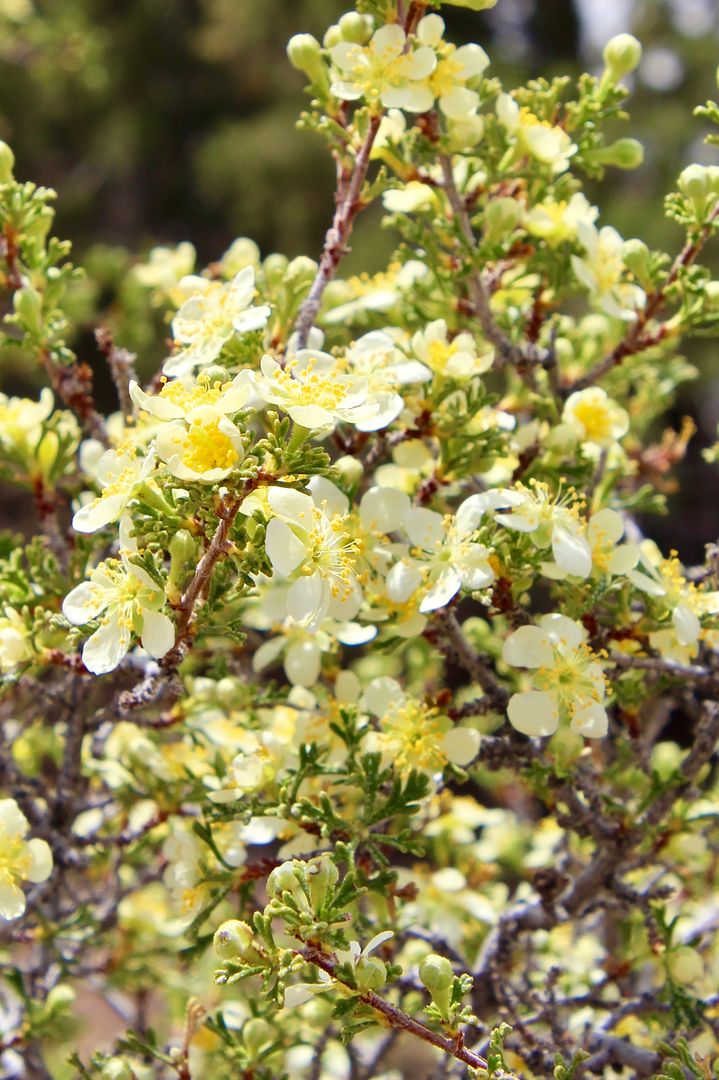
From this vantage point we could also see Tower Point. The lovely yellow cliff rose grows in abundance here. 


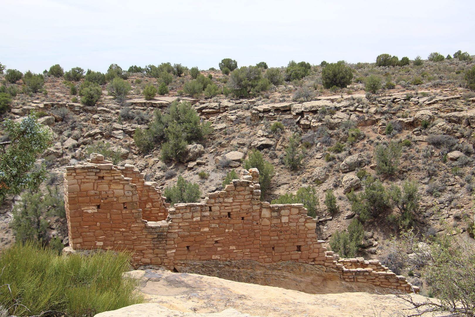
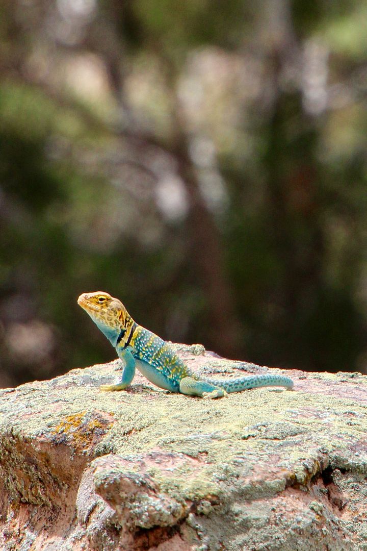
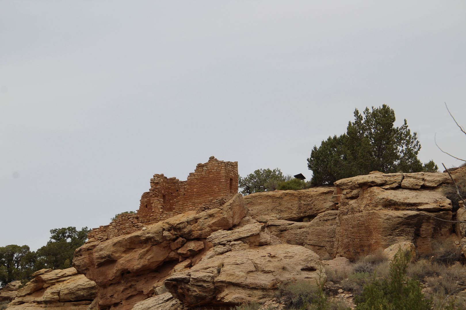
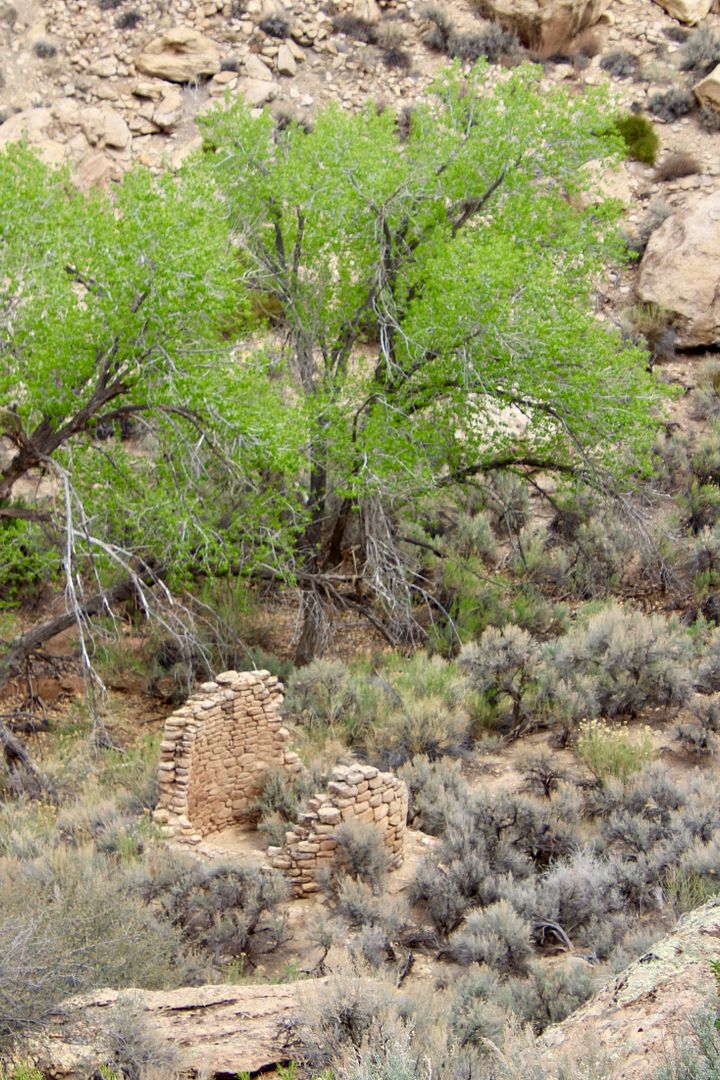
Stronghold House (below) is the upper story of a large pueblo. Also shown is a portion of the Stronghold Tower. Along the trail we saw lots of lizards, but this handsome collard lizard stayed in one place long enough for me to get a snap.


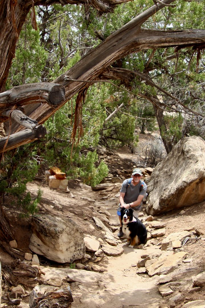
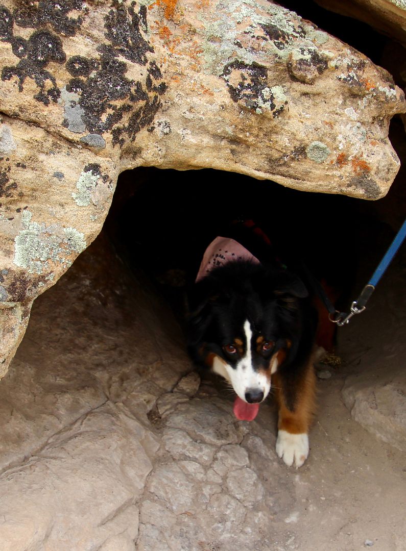
The trail drops 80’ into the canyon, providing views of the ruins from below. This is a dog-friendly trail (leashed) and our sweet girl, Sadie, had a blast sniffing everything in sight.


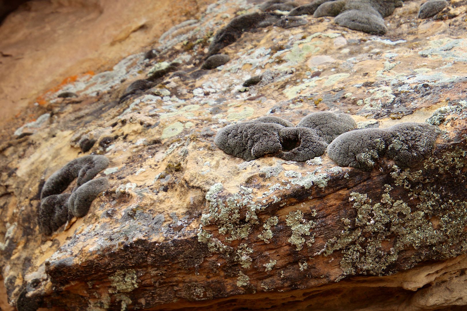
We saw this strange black moss (or is it a lichen) everywhere. I had never seen it before...


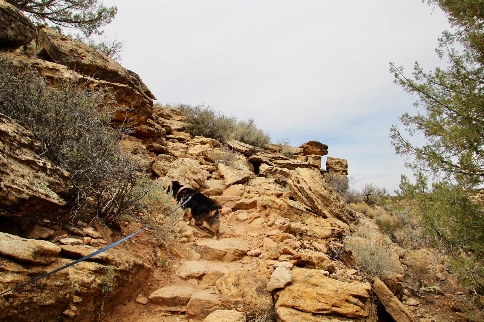
Sadie likes to be first when we are on a trail, but she always knows the way. And sometimes, she helps pull me up a steep incline. It’s great!
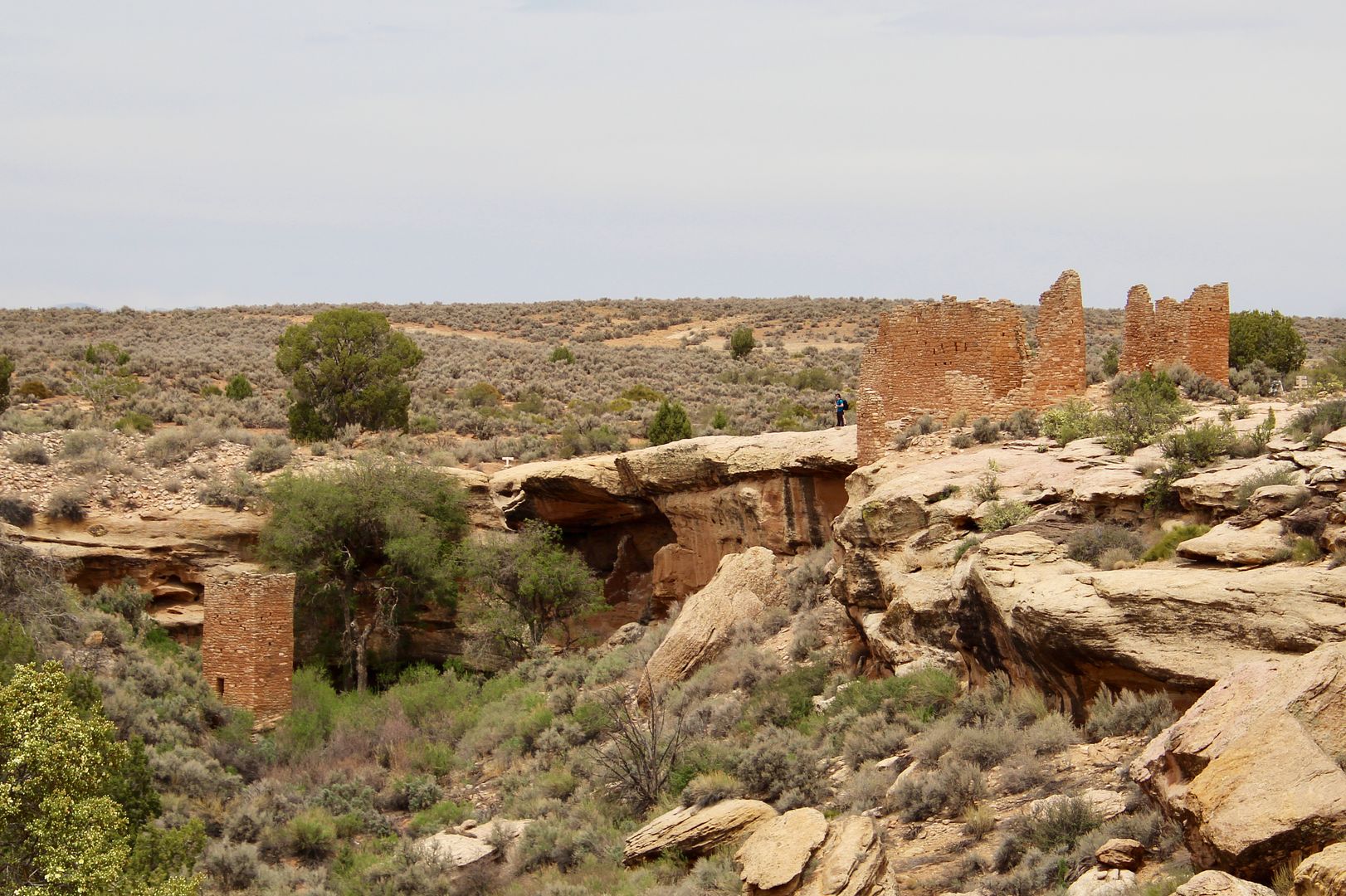
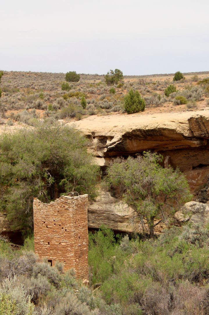

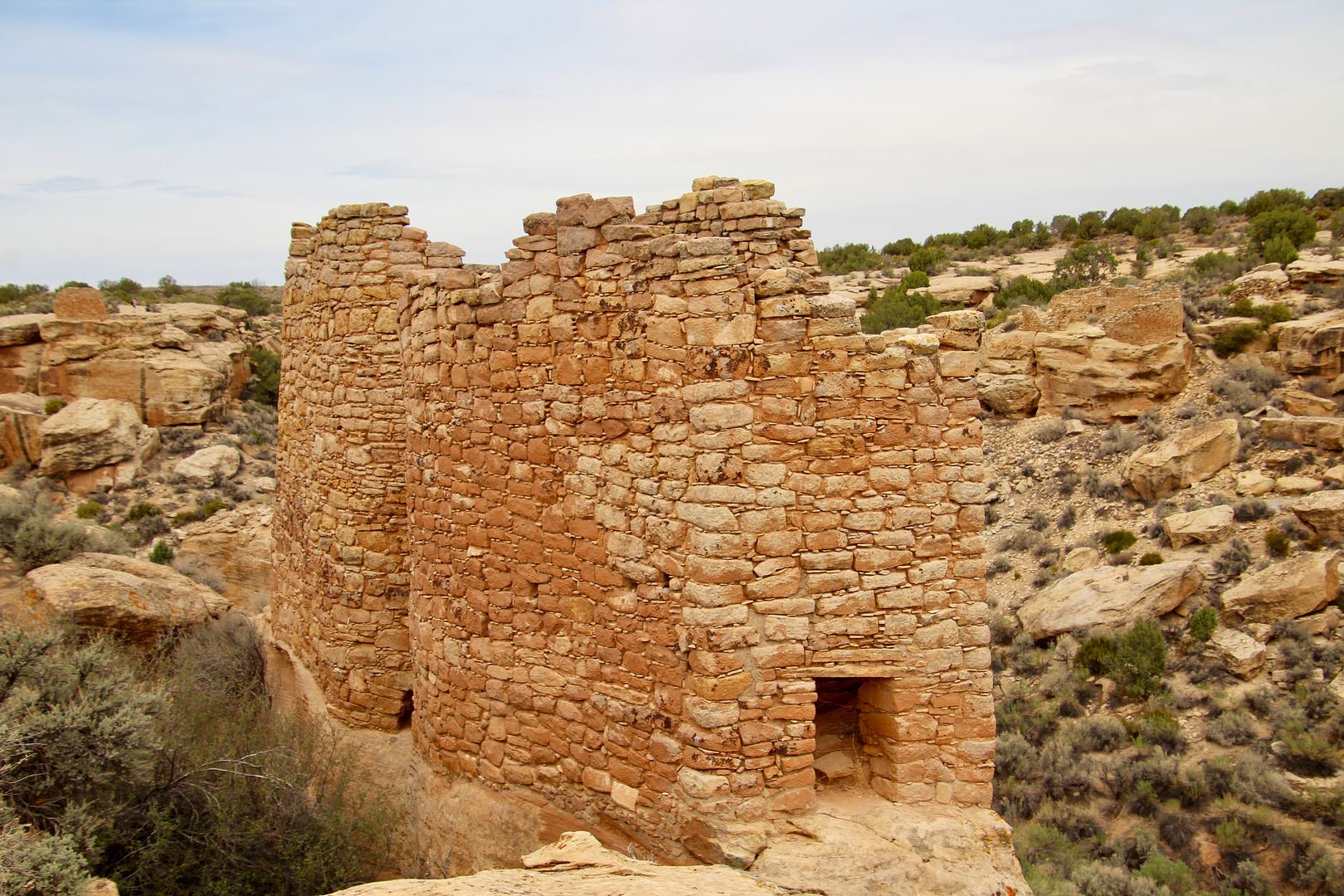
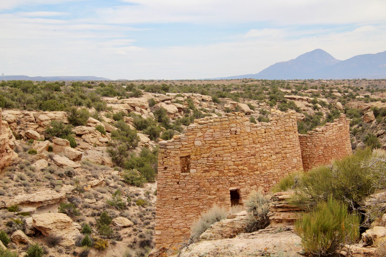
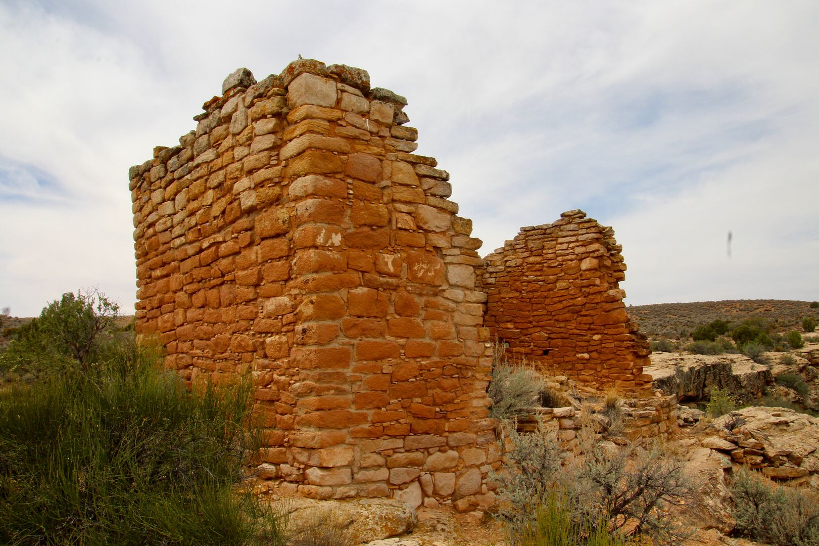
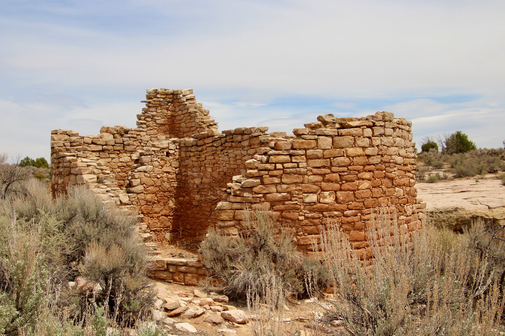
In total, the Twin Towers had 16 rooms. One tower is oval and the other horse-shoe shaped. Both are built on the native bedrock and their walls almost touch. 


The Rimrock House was likely not a place where anyone lived. A two-story, rectangular structure with peepholes built at various angles, its purpose is not known.


Looking north from Rimrock House, we could see Hovenweep House (the center of a the large Pueblo village). In the canyon below are the ruins of Round Tower, a perfectly circular structure that was likely two stories tall.


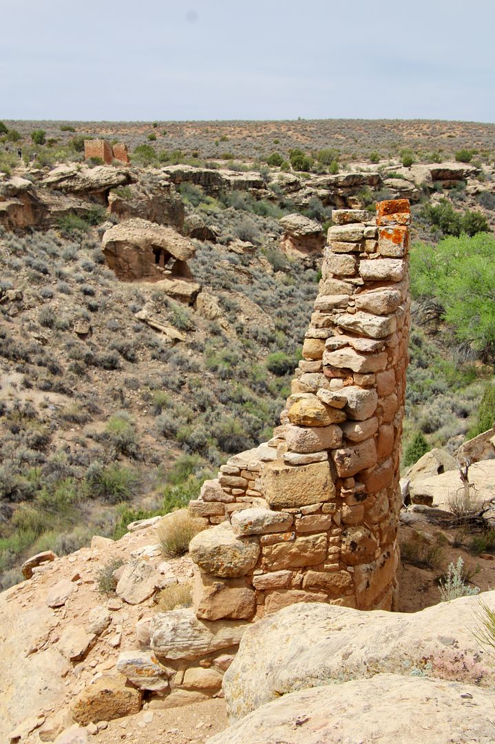
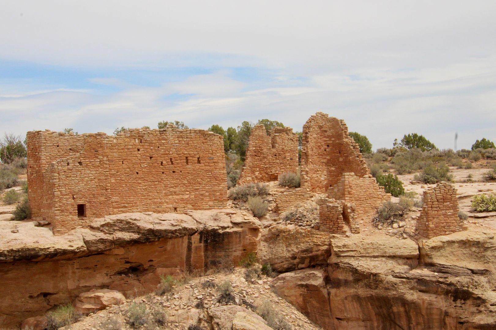
Continuing on the Little Ruin Trail, the Square Tower and Hovenweep Castle came into view. 


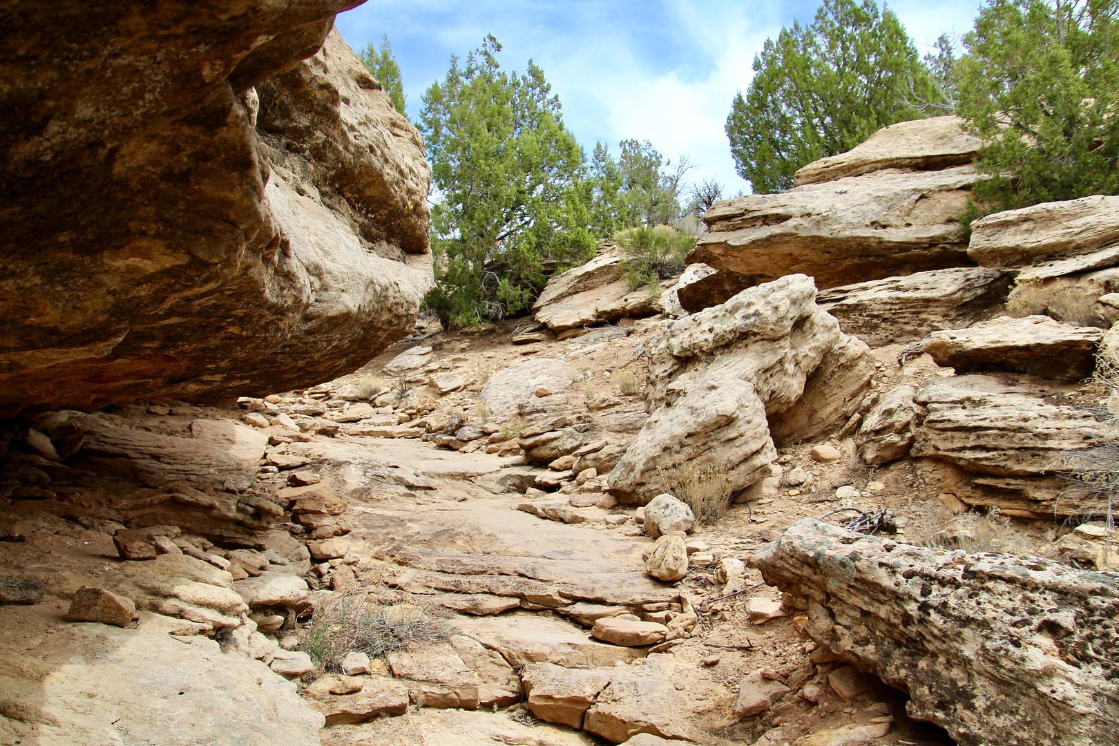
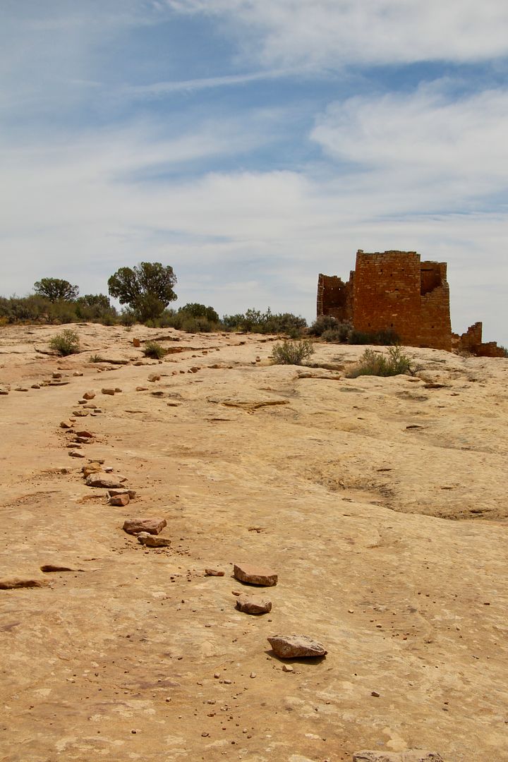
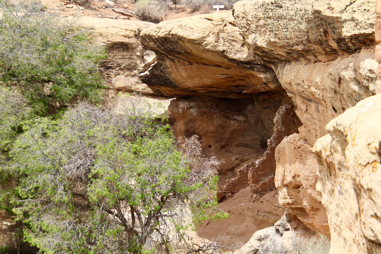
Hovenweep Castle is the largest structure at the park and consists of two D-shaped towers. It is situated on the rim of Little Ruin Canyon and a cliff dwelling was built in an alcove below it (accessible by hand-and-toe holds notched in the cliff wall). The two-story tower is built on a large sandstone boulder and is a slight spiral shape. The trail continues along slickrock and is clearly marked with stones. 


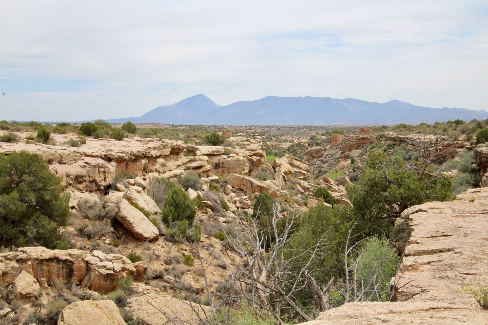
About 18 miles southeast of the canyon is Sleeping Ute Mountain named for the reclining form of a Ute chief. Legend says that the Chief will one day rise again to reclaim the land to its native inhabitants.


I always enjoy getting a few snaps of indigenous plants and flowers. 


We really enjoyed learning more about and seeing the amazing masonry work of the Ancestral Puebloans who lived here 800 years years ago. Their workmanship has enabled these structures to survive these many years. The National Park Service continues to work to preserve the ruins with stabilization efforts.

If you find the Ancestral Pueblo culture as interesting as I do, you will love this place. You can drive to other locations in the park, but we spent our time here at the Little Ruin Canyon. For additional information about Hovenweep, go to www.nps.gov/hove.