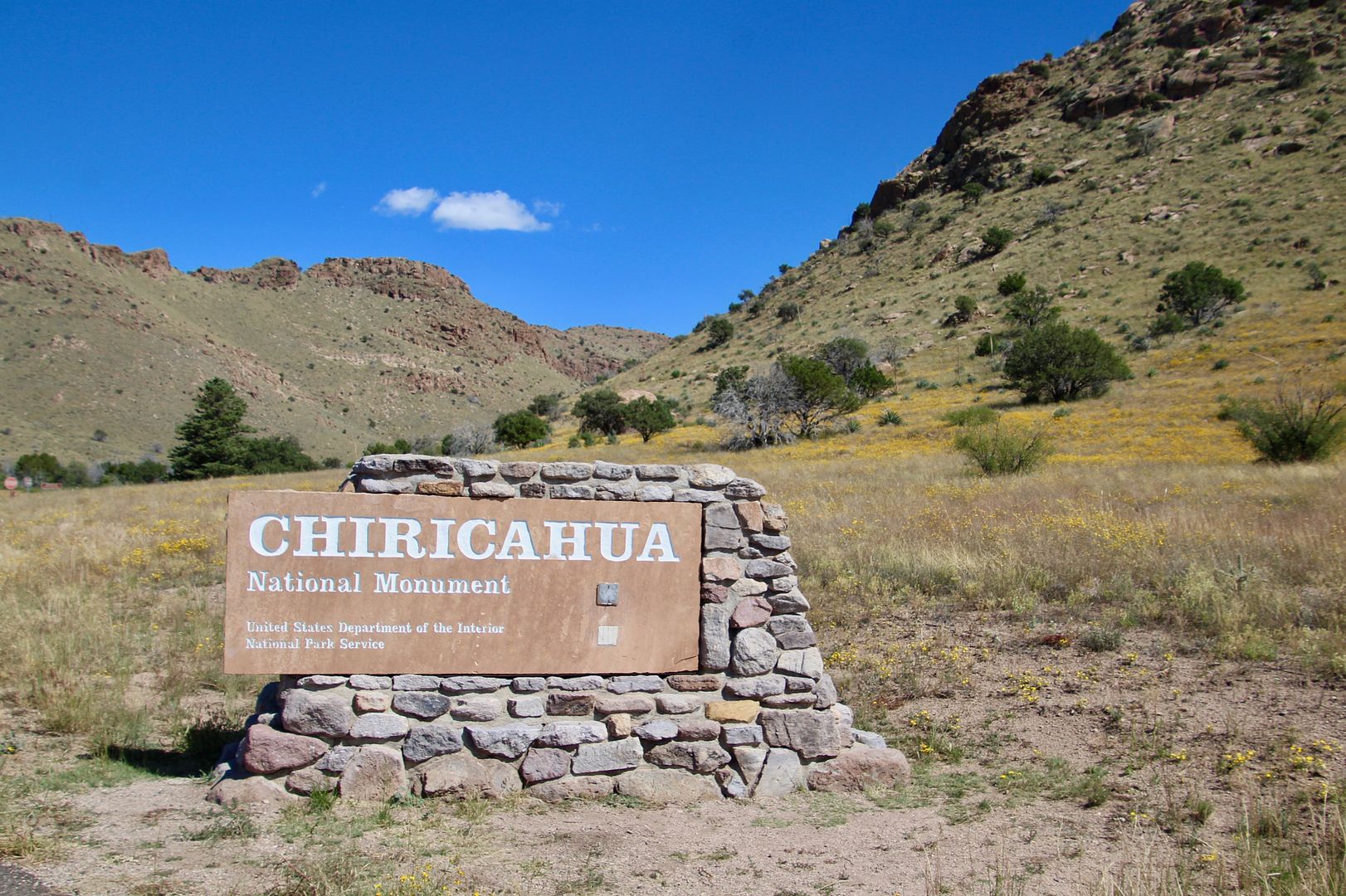
About 130 miles southwest of Tucson is the Chiricahua National Monument. We seize every opportunity we can to visit National Park Service sites because they are always unique and interesting, so we packed a lunch and headed out.
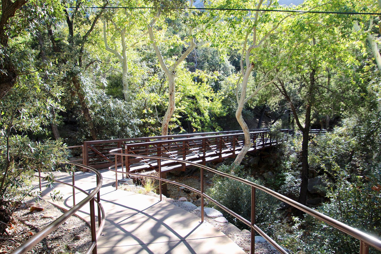
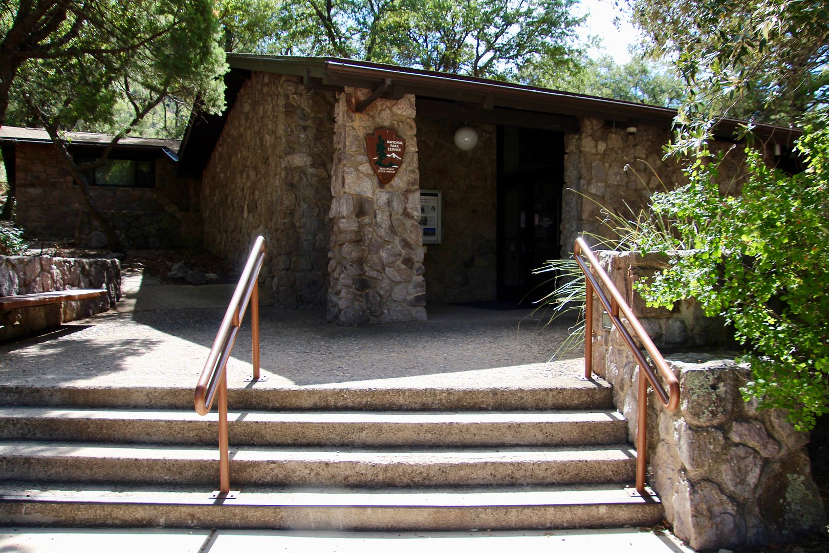
When you first enter the park, the Faraway Picnic area and trail is on the left. We decided to continue to the Visitor Center to learn more about the National Monument and pick up a map.
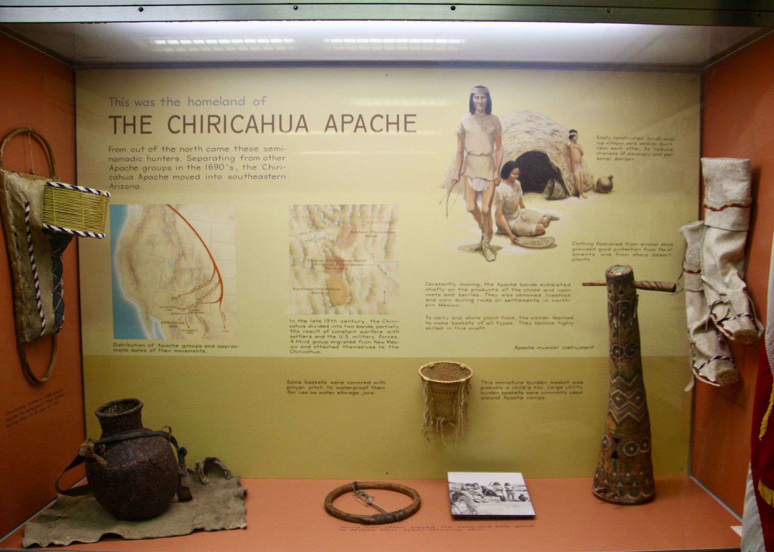
Exhibits about the cultural and geologic history of the area are inside. Southeastern AZ and southwestern NM have been home to the Chiricahua Apaches since the 1400s. One of the four main bands, the Chokonen, lived here in the Chiricahua Mountains. Nomads who hunted large game and gathered edible plants, they were respected and feared warriors. After a lengthy period of war with the Spanish and then settlers, they surrendered to the US government in 1886 and were relocated to reservations in OK and NM. Such a sad time in our nation’s history.
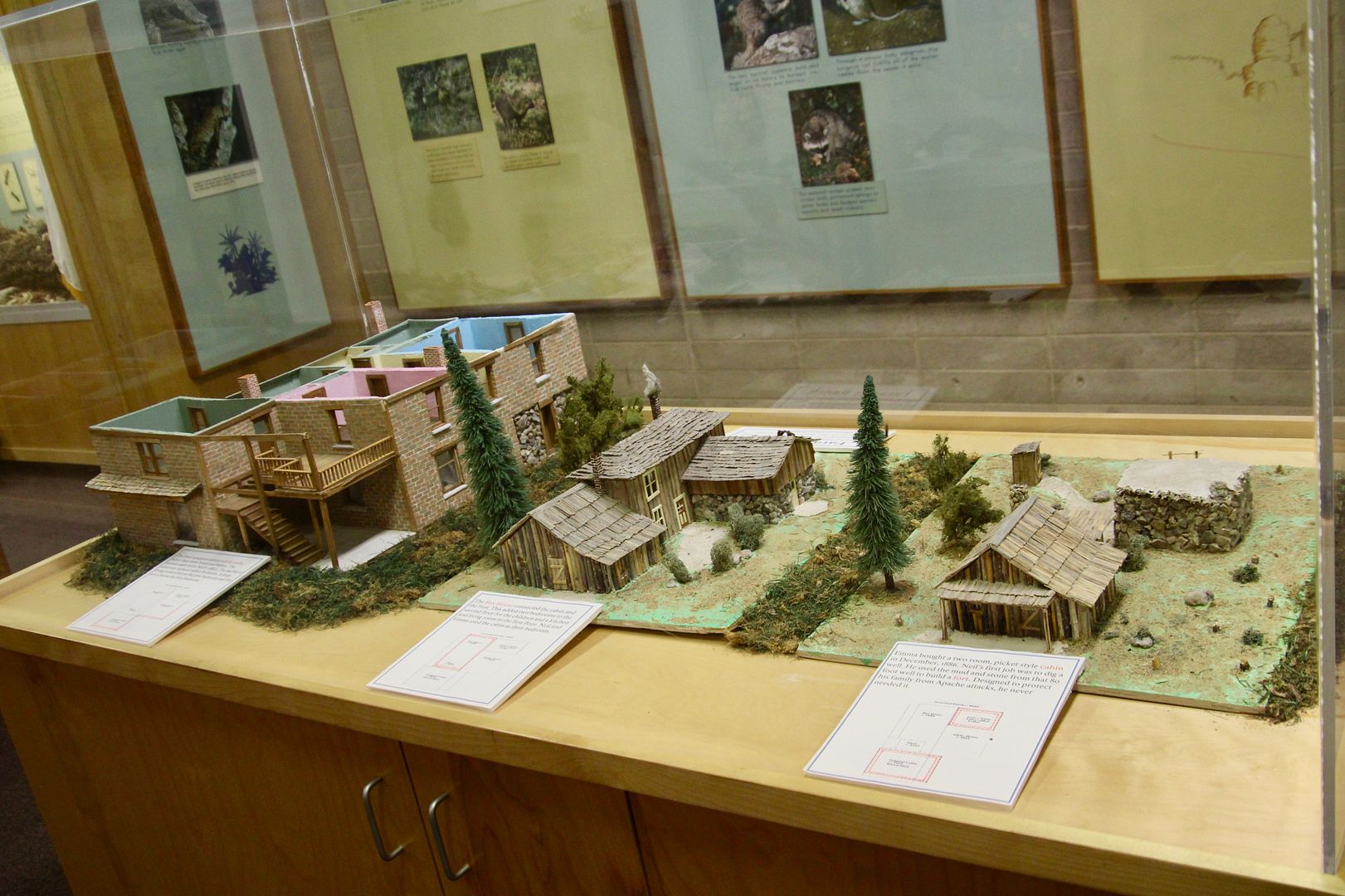
In 1888, Swedish immigrants Neil and Emma Erickson settled here. From 1917 until 1973, their children operated a guest ranch where visitors came to hike, watch birds and relax. This exhibit shows the three different homes they built on the same property. The third one (left) is still standing.
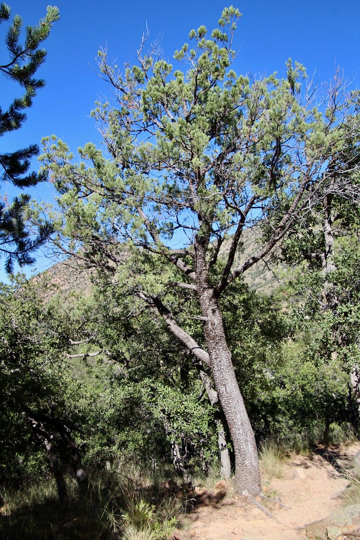
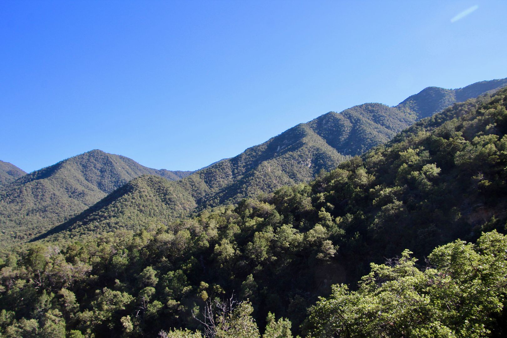
Reaching an elevation of 9,763 feet, this is another Arizona sky island. Because of the 4 ecosystems here, there are 1,200+ plant species. Plants of the Chihuahuan and Sonoran deserts co-exist here at the lower altitudes. The northern slopes feature ponderosa pine and Douglas firs (like the Rocky Mountains) and the sunny southern slopes feature Apache pine and border pines (like Mexico’s Sierra Madre range).
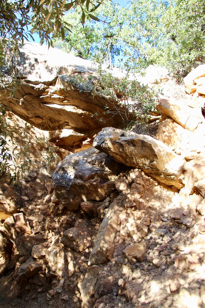
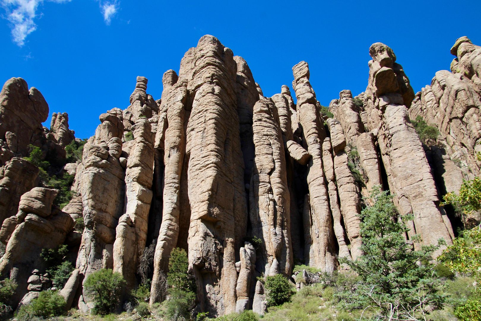
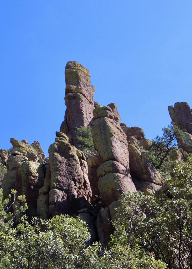
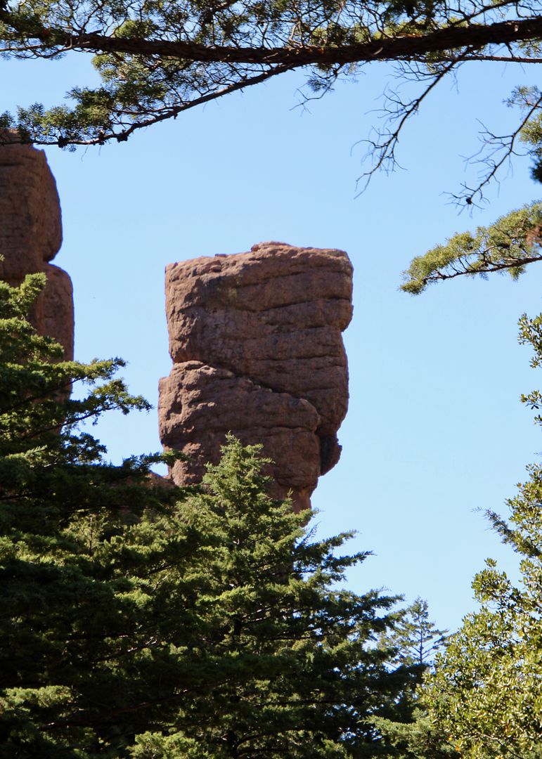
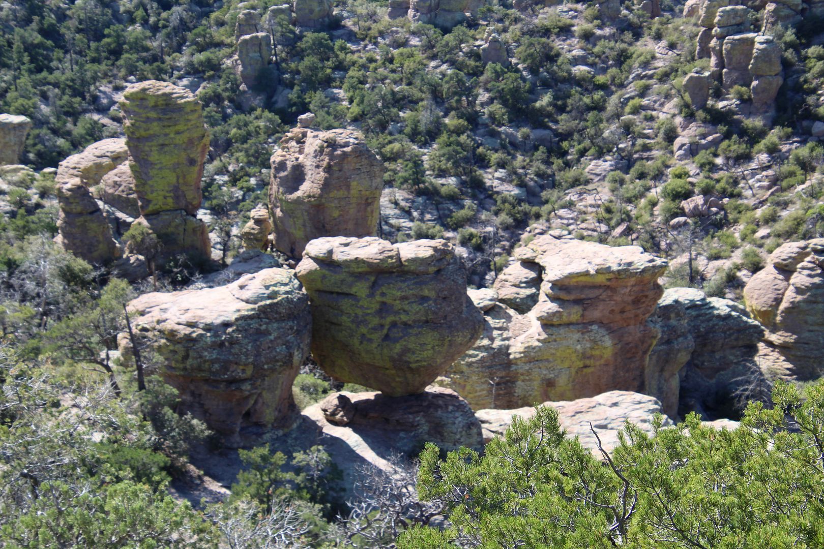
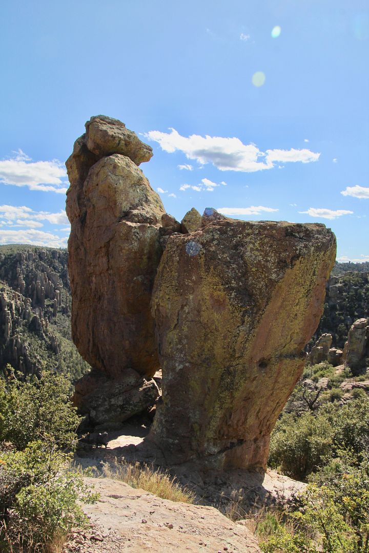
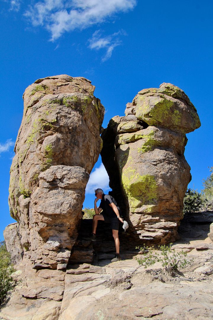
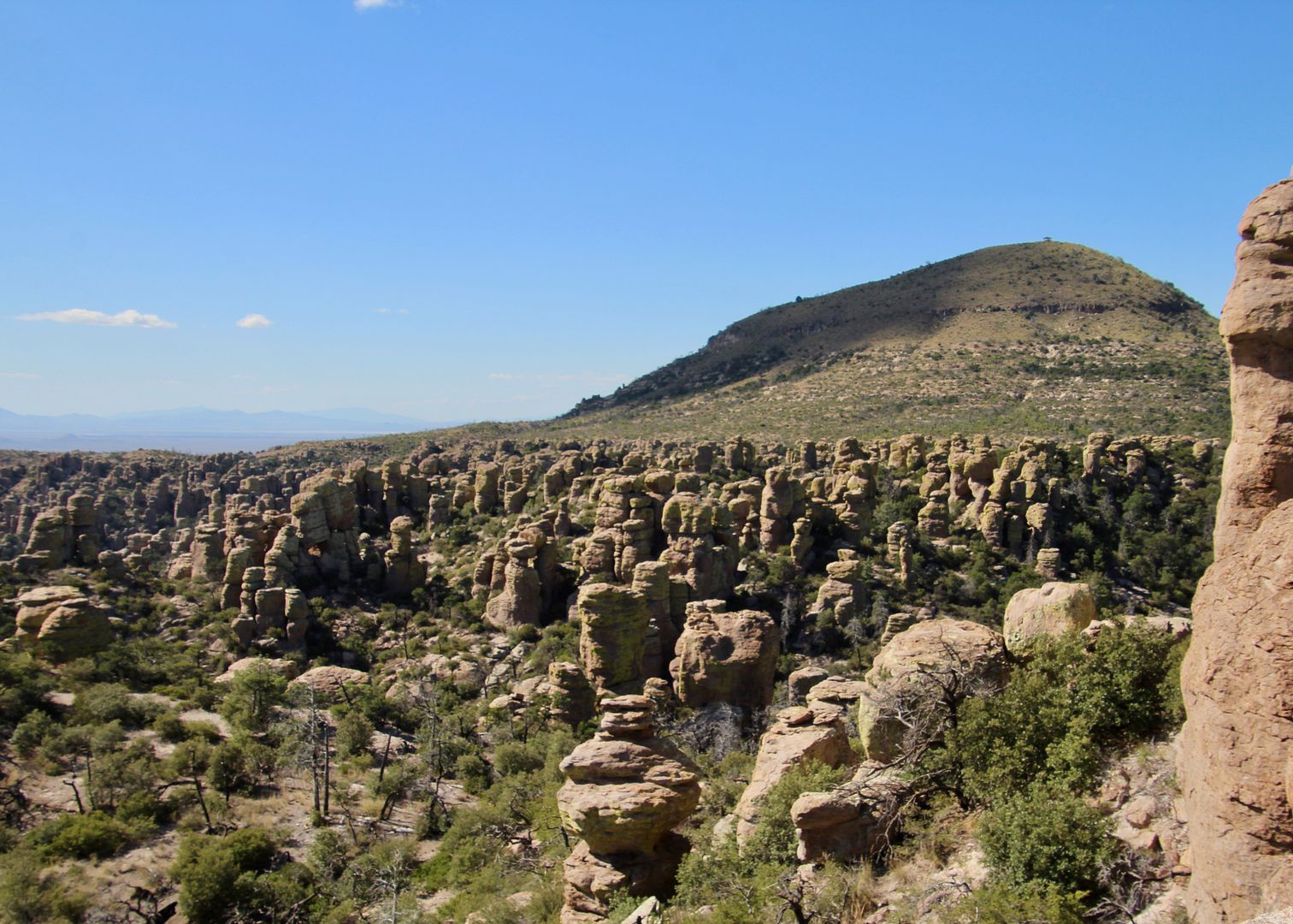
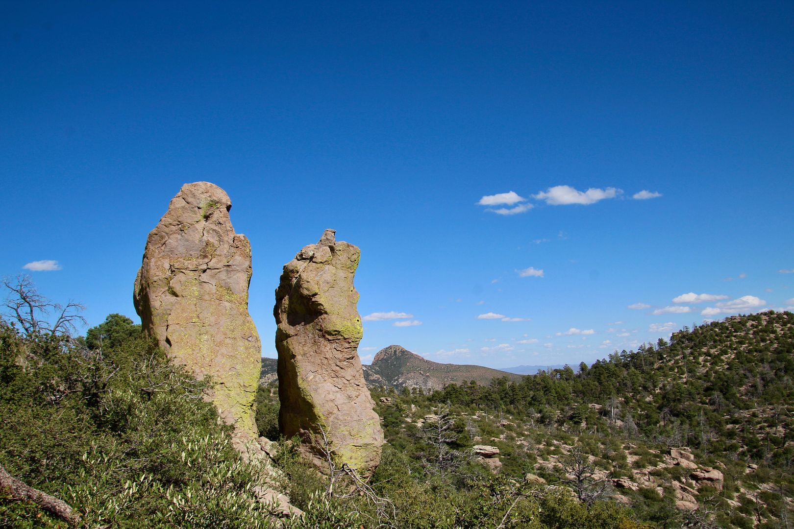
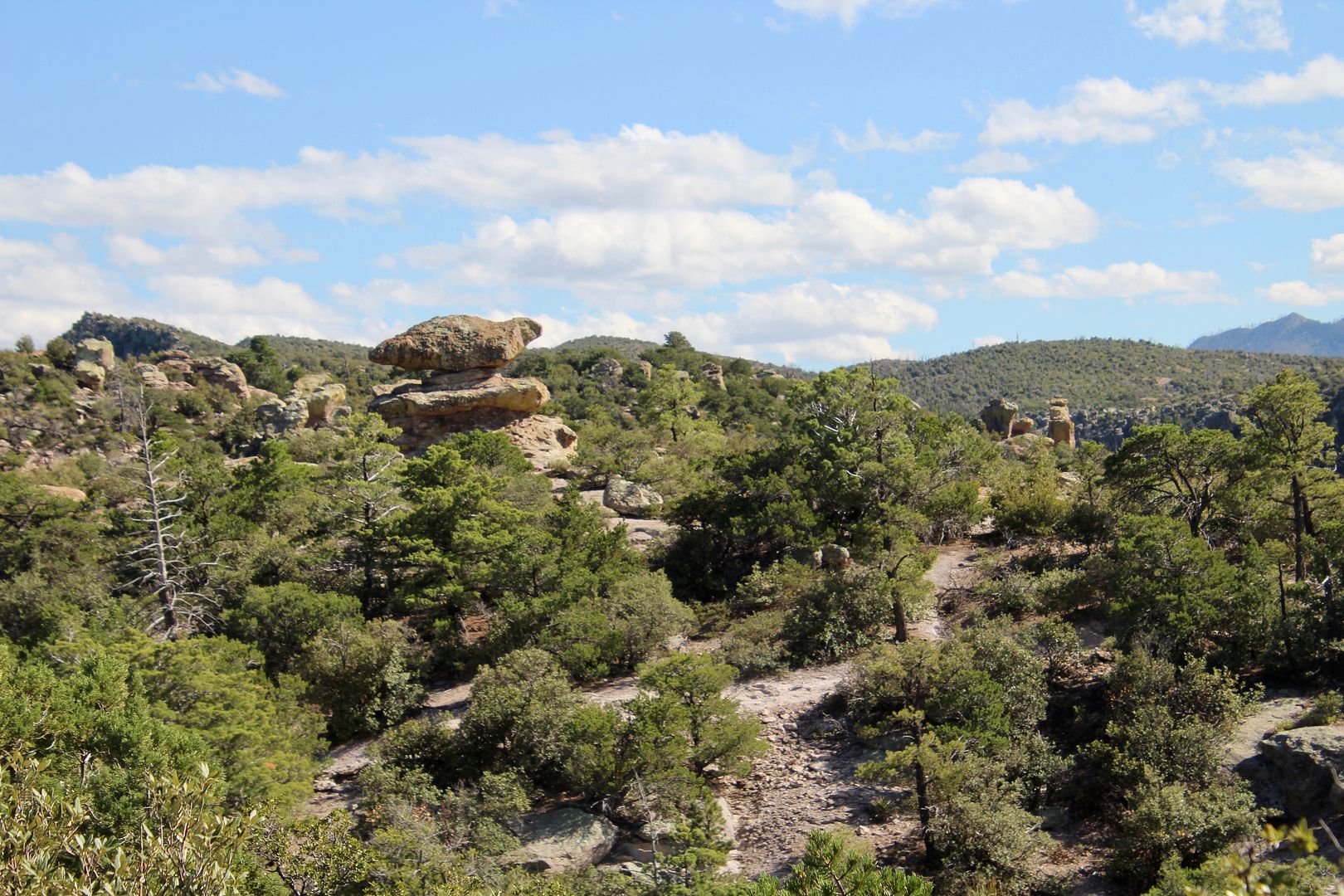
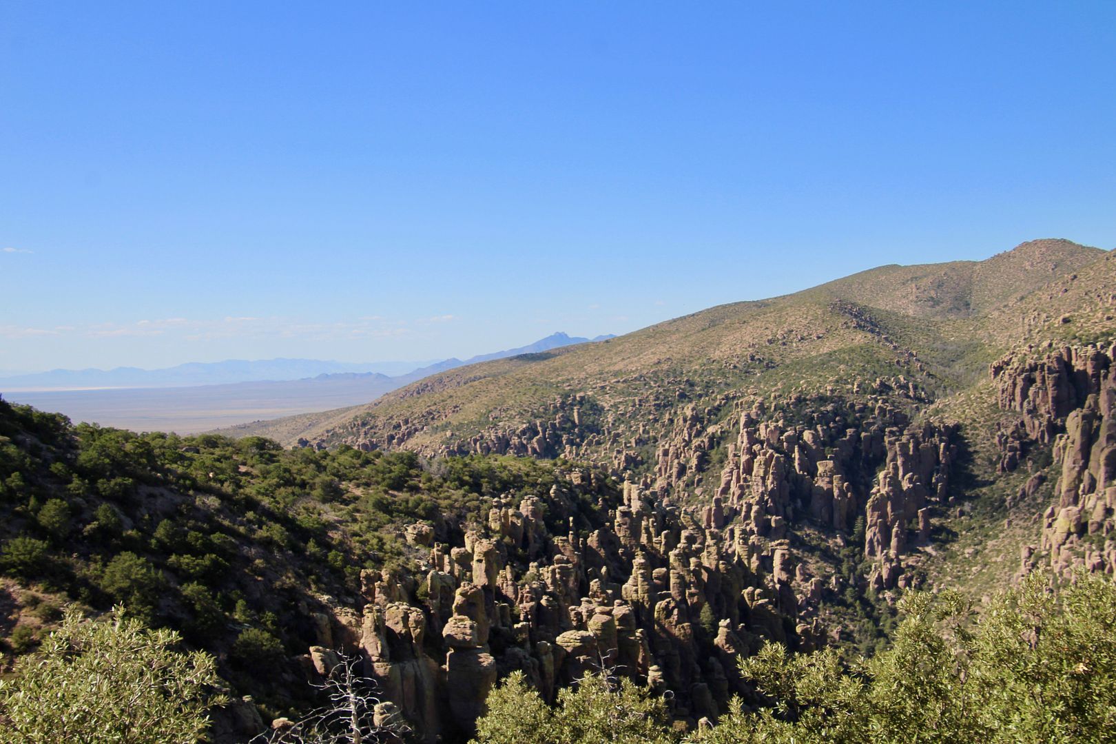
The Chiricahua Apache call this area the “land of the standing up rocks.” Eruptions of the Turkey Creek Volcano occurred here 27M years ago. Spewing ash over 1,200 square miles, the particles melted together to form layers of rhyolite (the gray rock seen here). The sculpting forces of nature over millions of years have created the columns, balanced rocks, and spires seen here today.
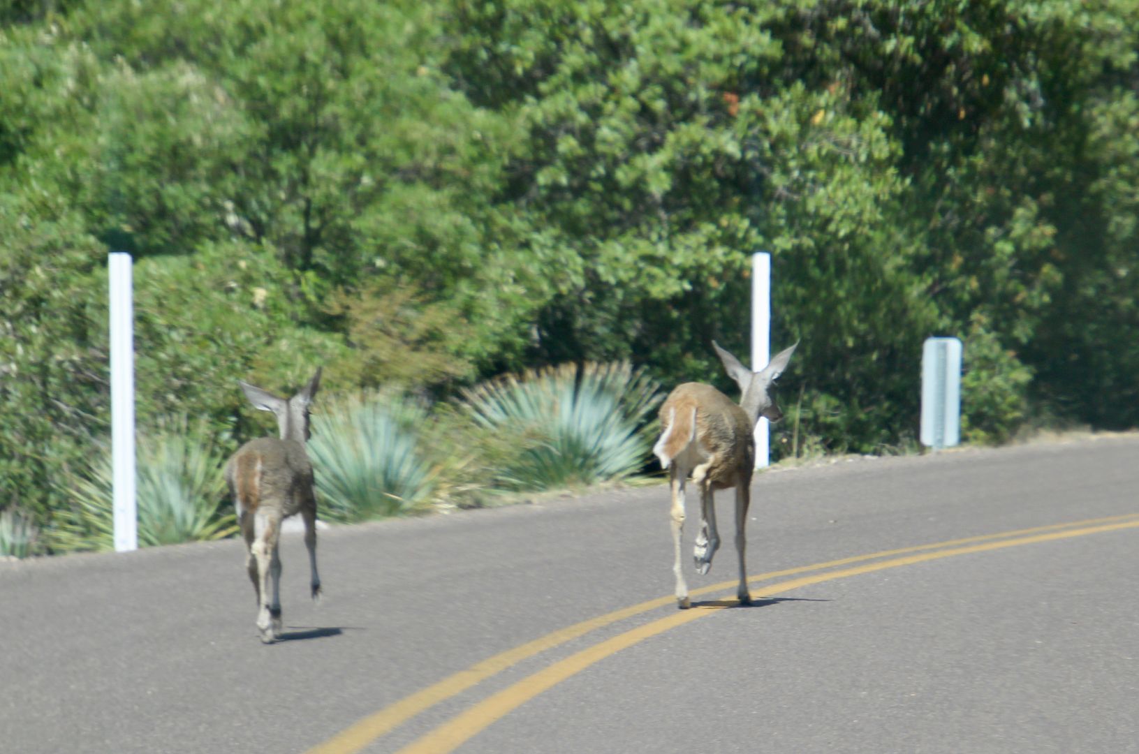
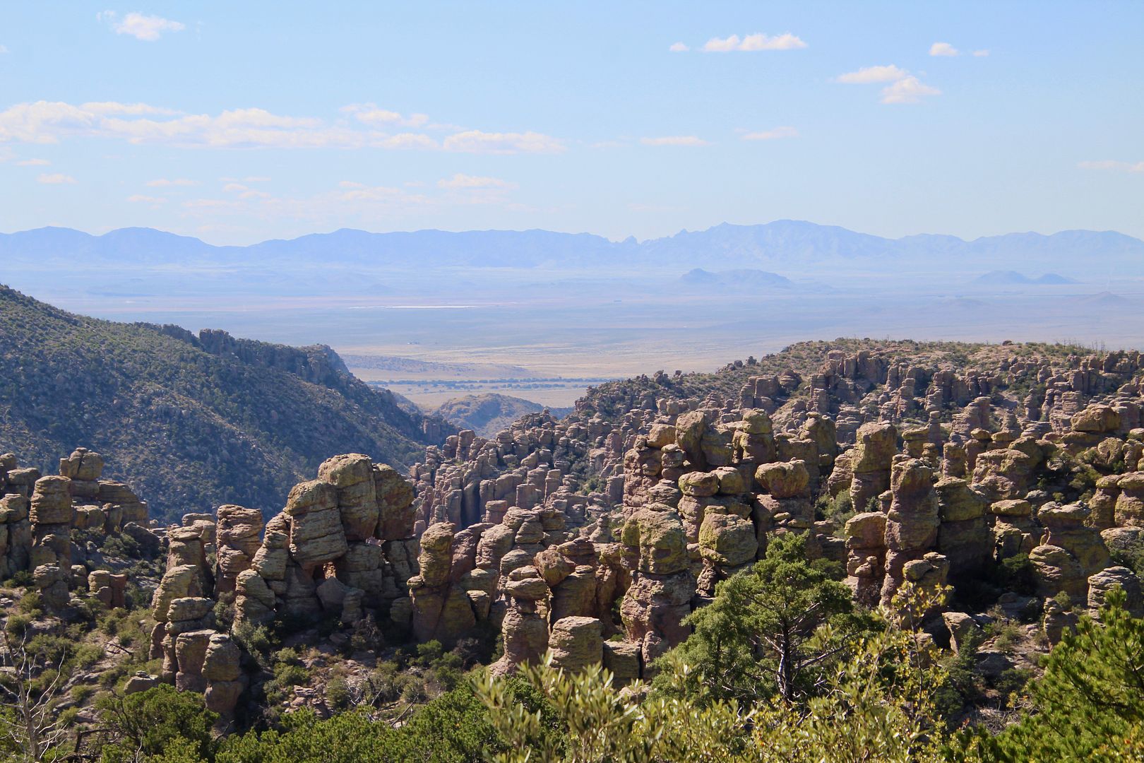
The paved, 8-mile (each way) Bonita Canyon Drive leads to Massai Point. Deer crossed the road and paused for a moment in the forest.
With multiple overlooks along the way, we first stopped at the Organ Pipe rock formation.
Below is a rock formation named, Sea Captain. And, the second one is called, China Boy.
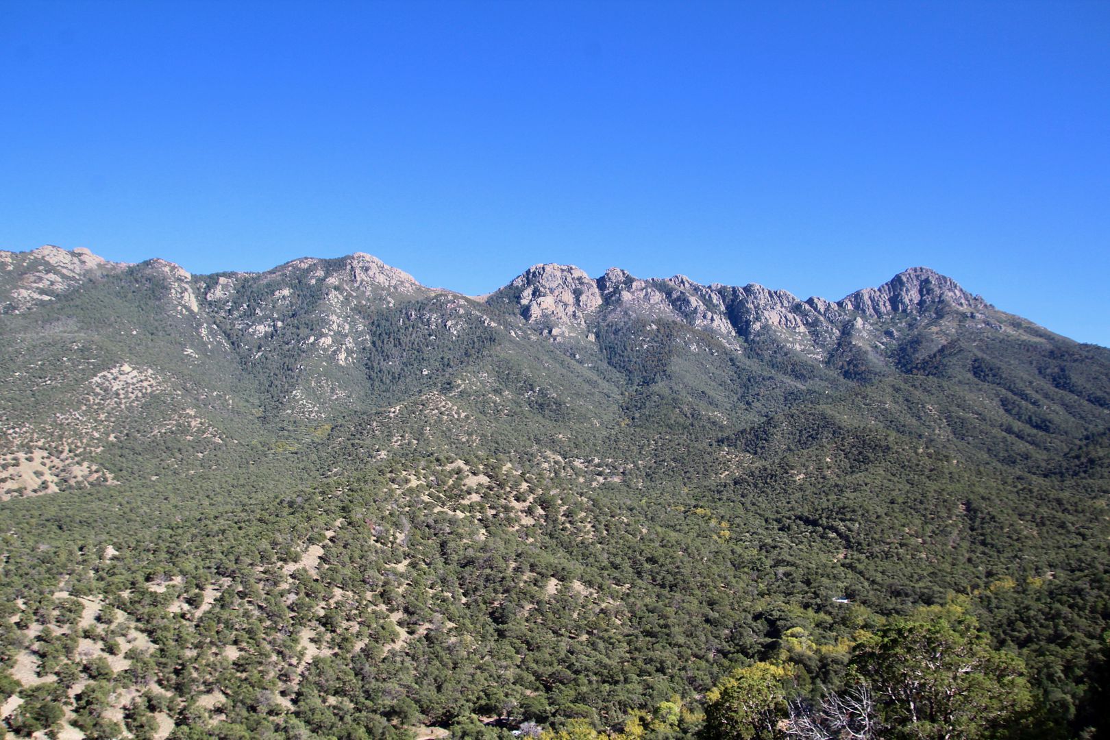
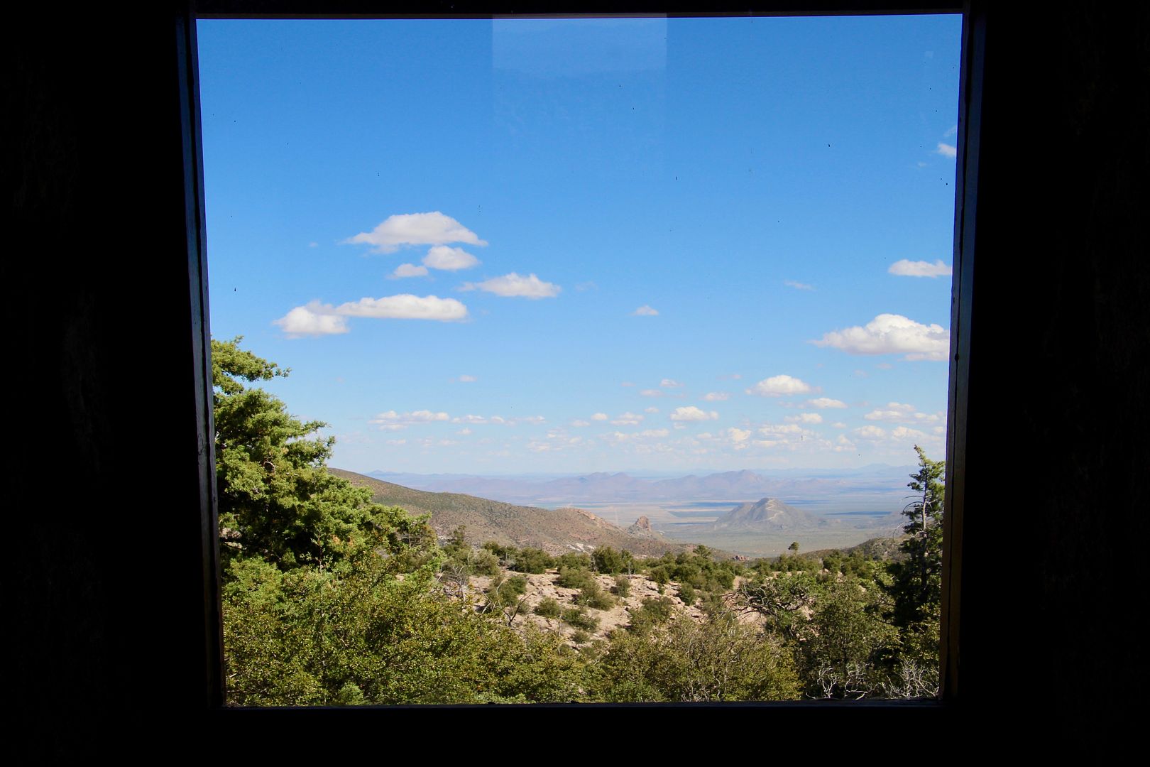
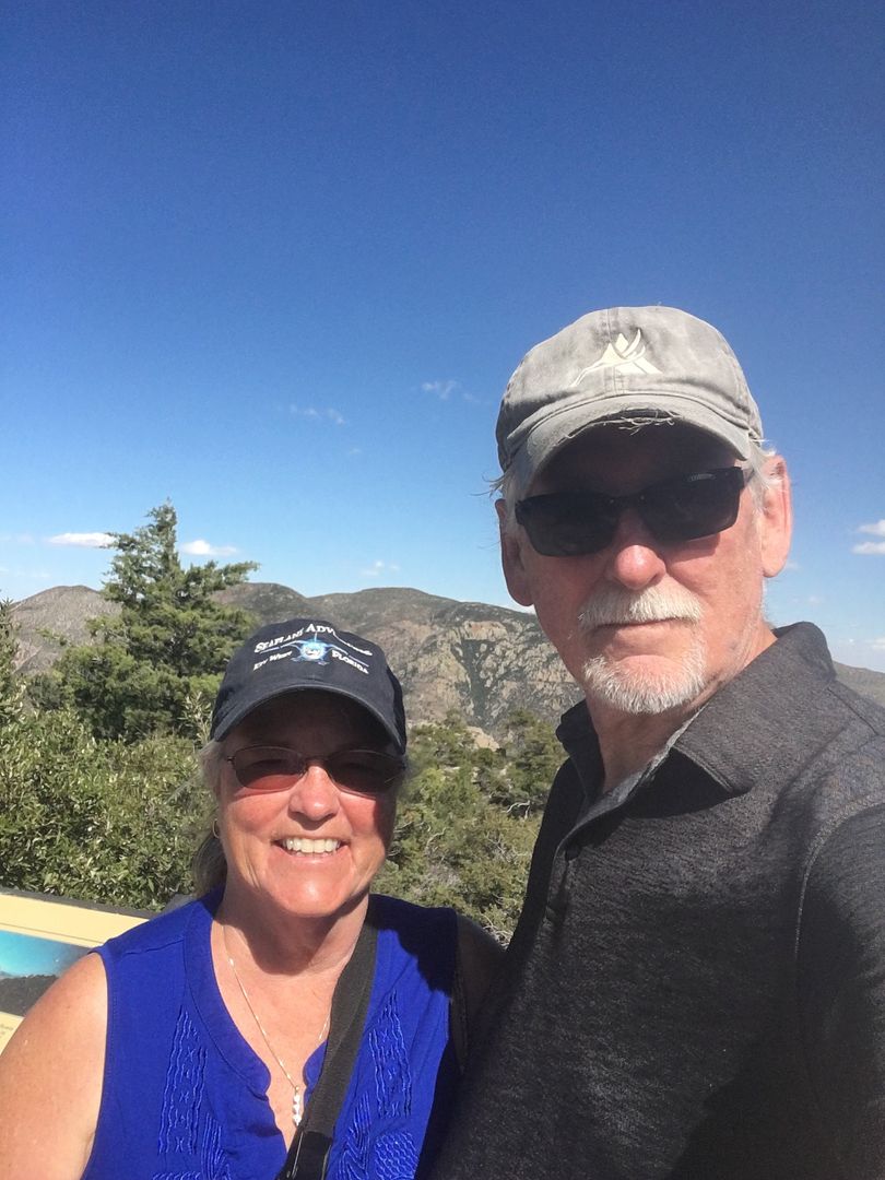
The Massai Nature Trail permits dogs and provides amazing views of the area (6,870’ elevation). The renowned Chiricahua Apache chief, Cochise, retired with his people in the Dragoon Mountains. Called the Cochise Stronghold, it was in the mountains in the distance (center) of the photo below. He died and was buried there in 1874.
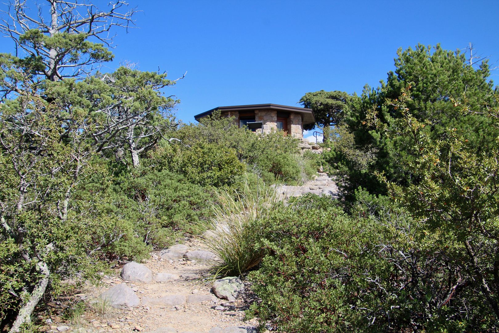
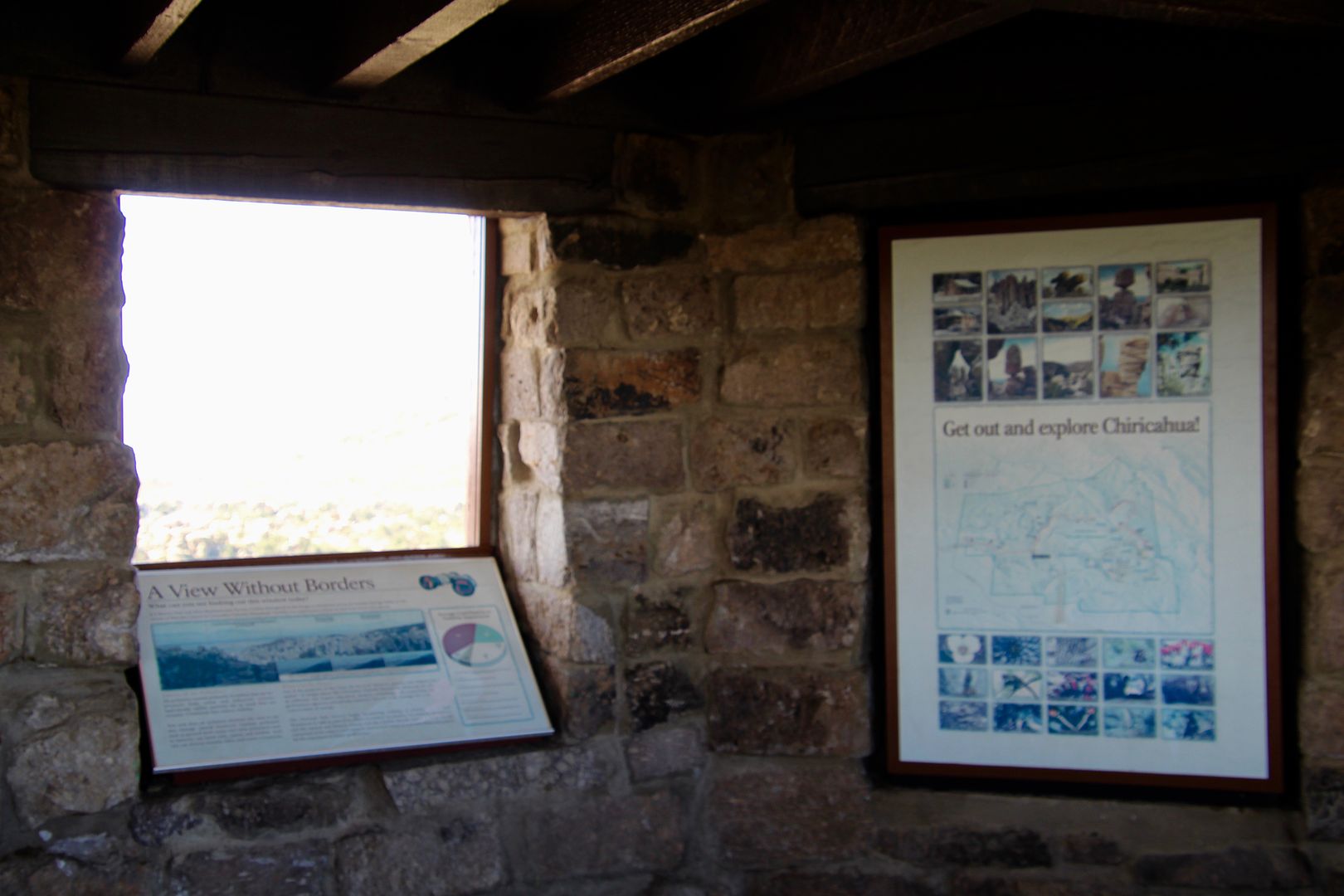
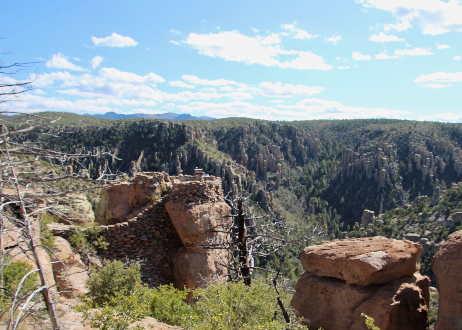
The trail leads up to the exhibit building (originally built by the CCC in the 1930s).
Harris Mountain (right of center) was named for the Harris family who died at the hands of the Apache in 1873 when they attempted a shortcut through the Chiricahua Mountains. Their daughter was found in an Apache tribe a few years later and identified the spot where her family died.
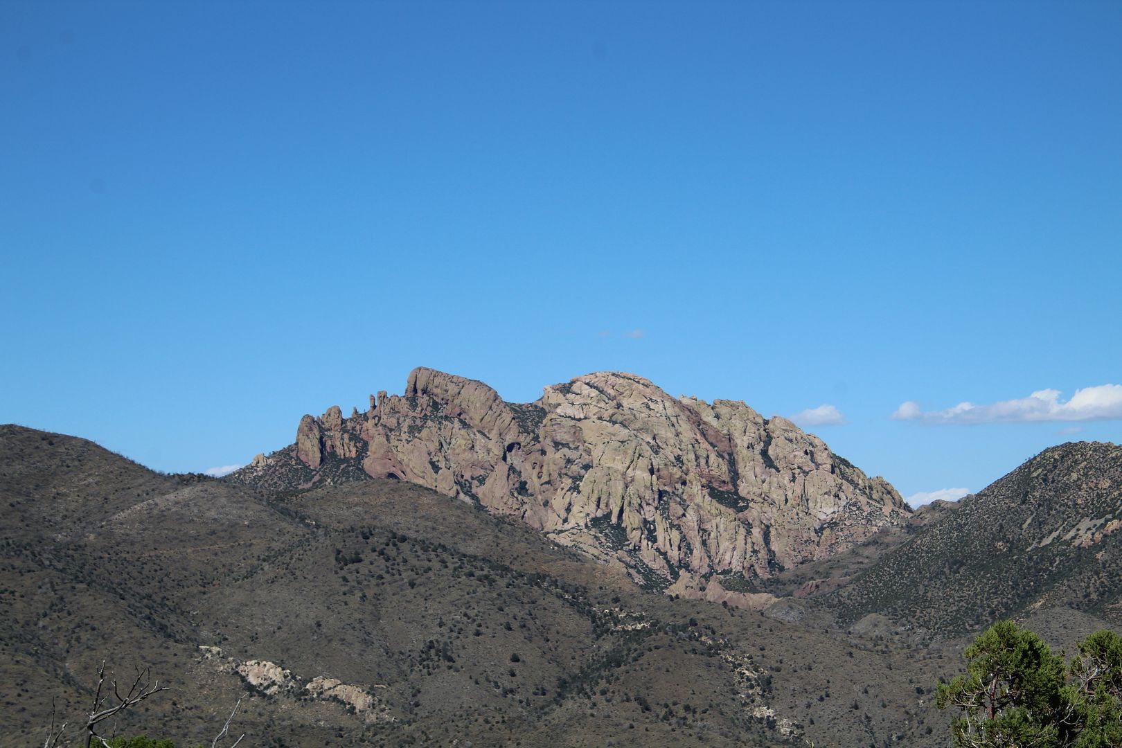
This remarkable rock formation is volcanic rock. It is known as Cochise Head (a man lying on his back with face up) named for the famous Chiricahua Apache chief who preferred diplomacy over warfare.
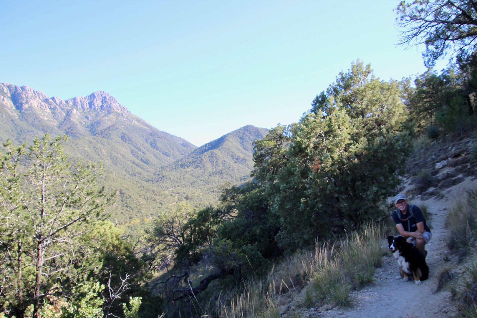
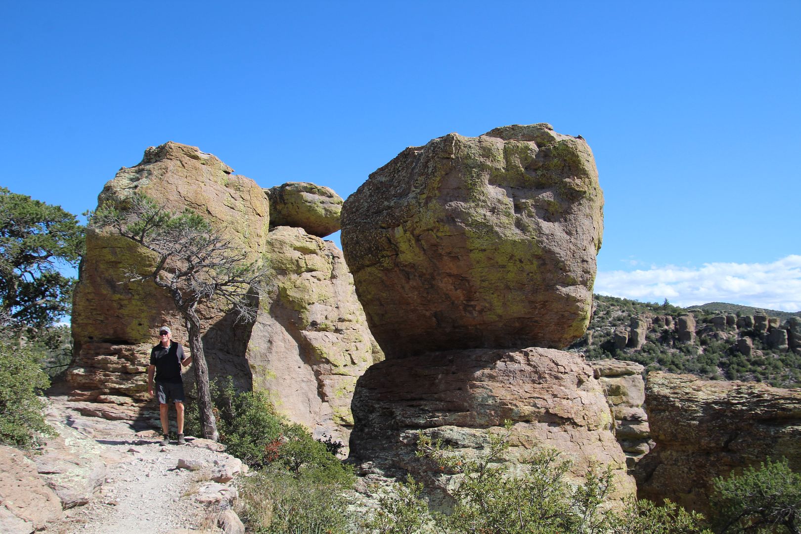
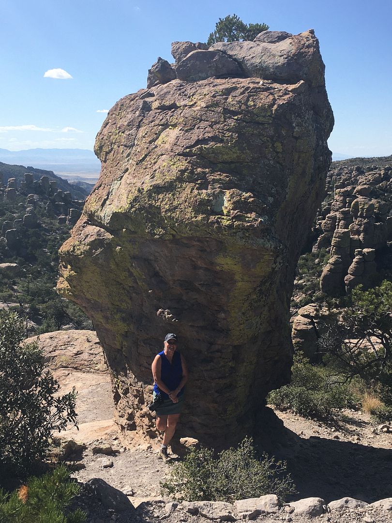
Seeing the columns of rock from a distance is amazing but seeing them close up was even better! And it’s always a fun day when I can get John to pose for a couple of snaps.
There are great views from this overlook built by the CCC in the 1930s.
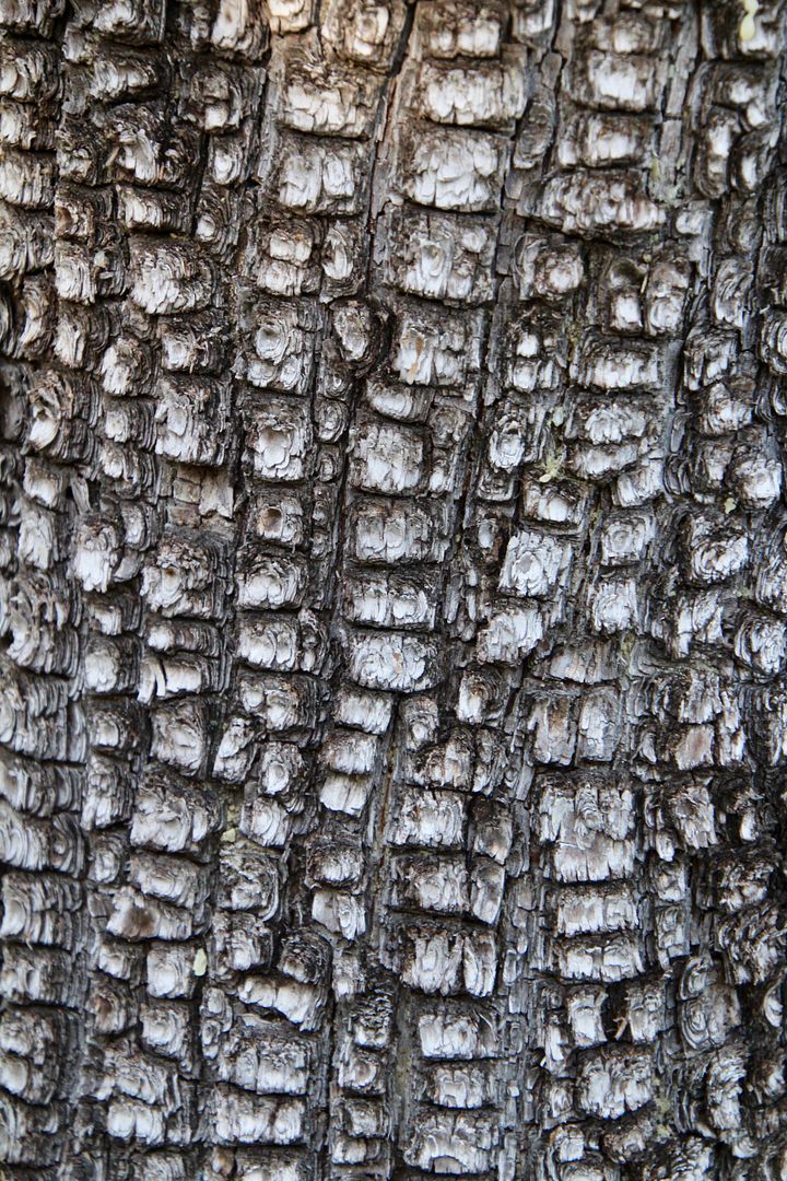
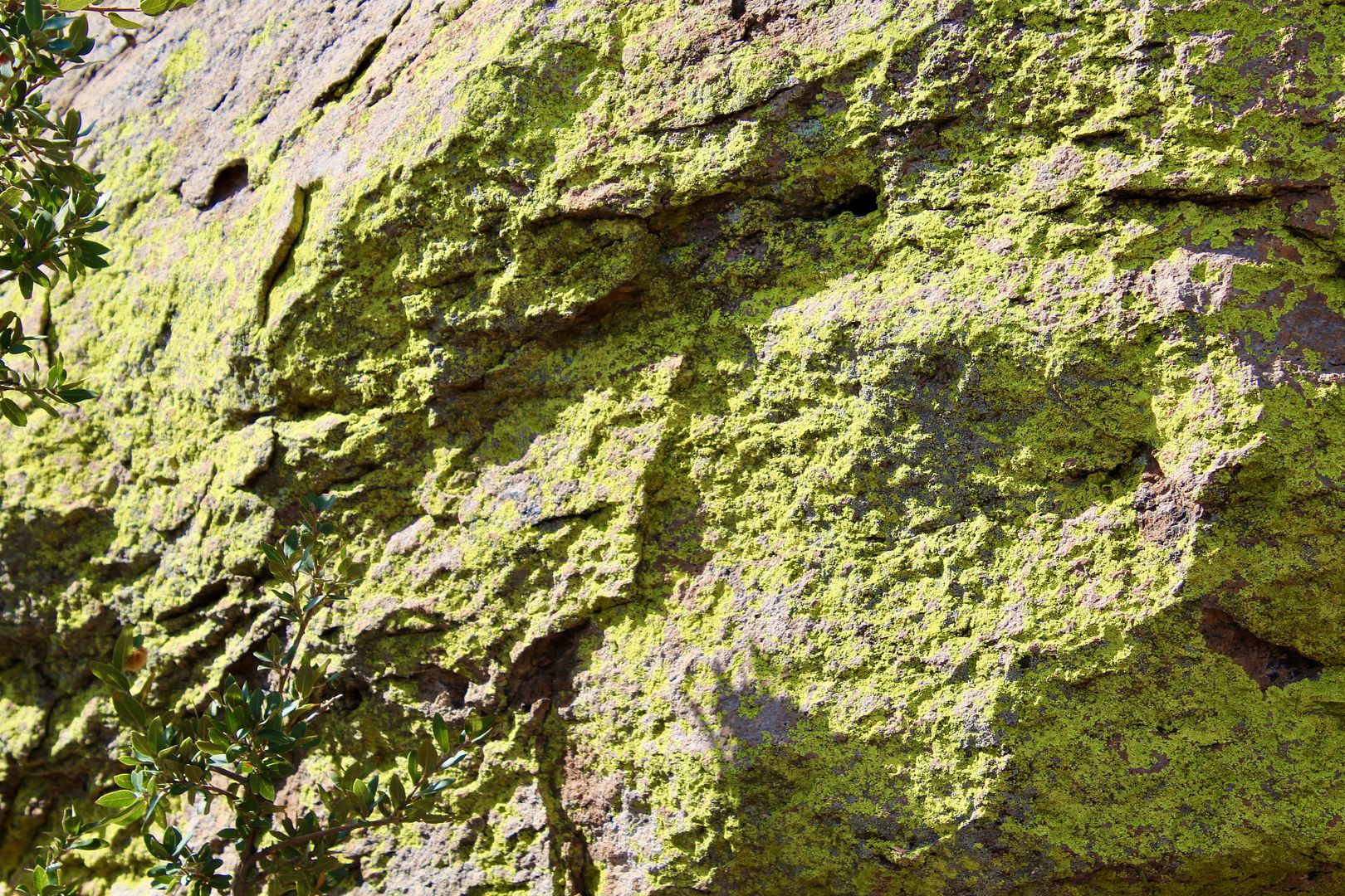
This neon green lichen is another one of the erosive forces on the rocks here.
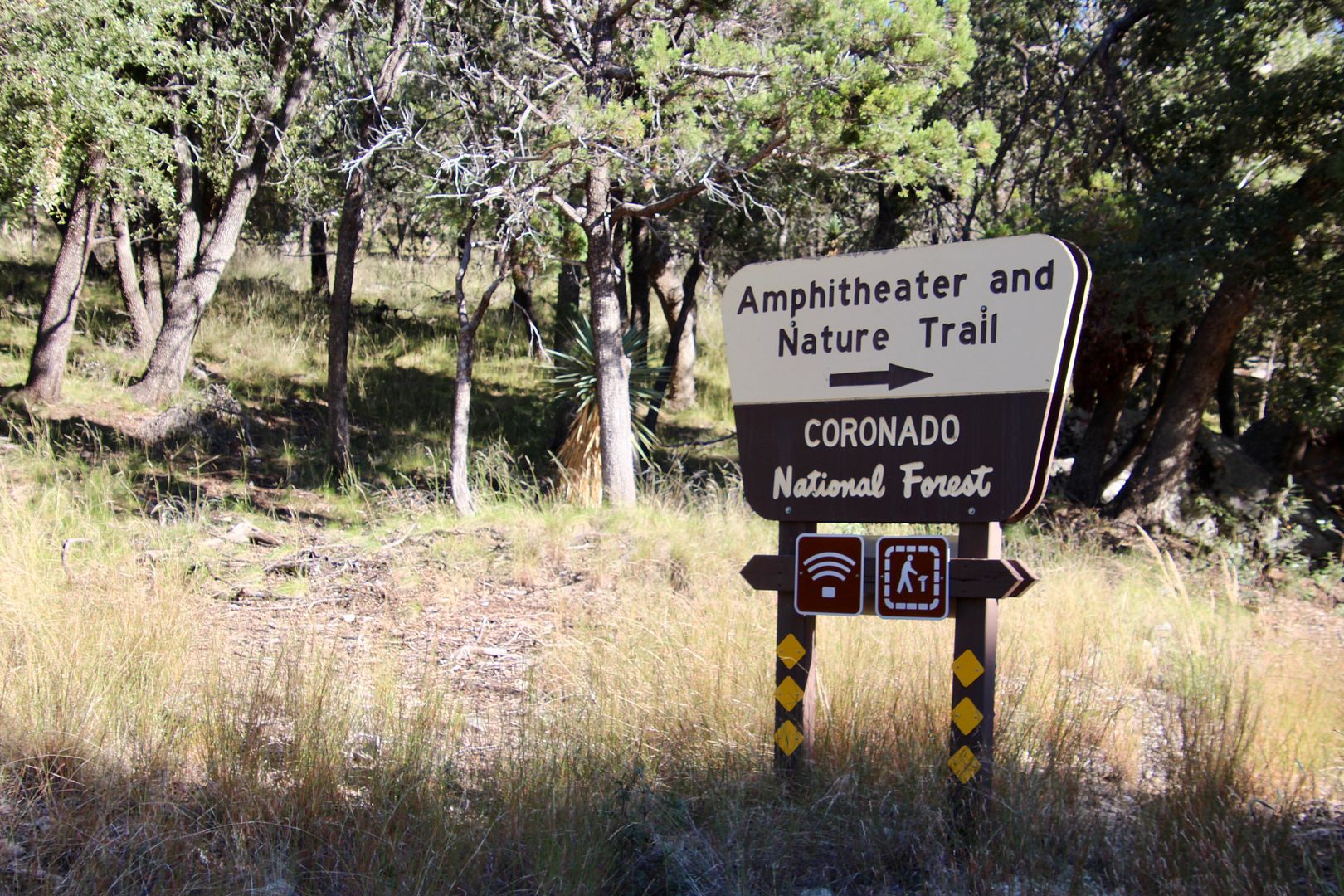
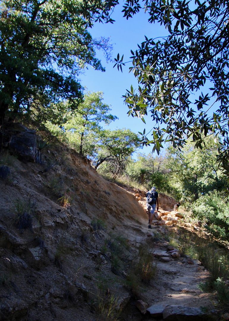
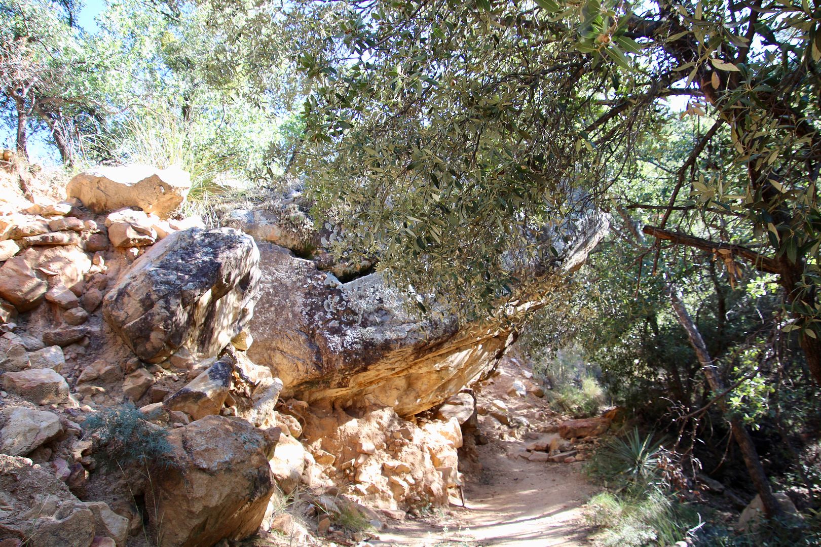
Pets are not permitted on most trails here, but I did a bit of exploring at the Echo Canyon Trail and Sugarloaf Trail.
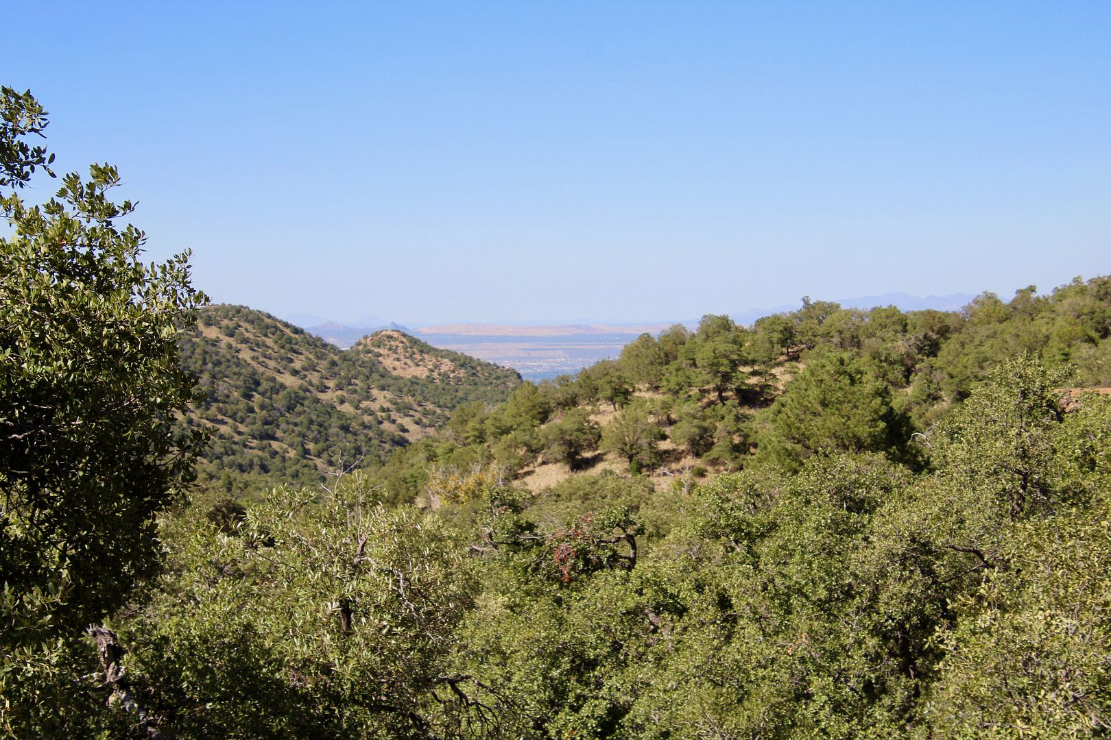
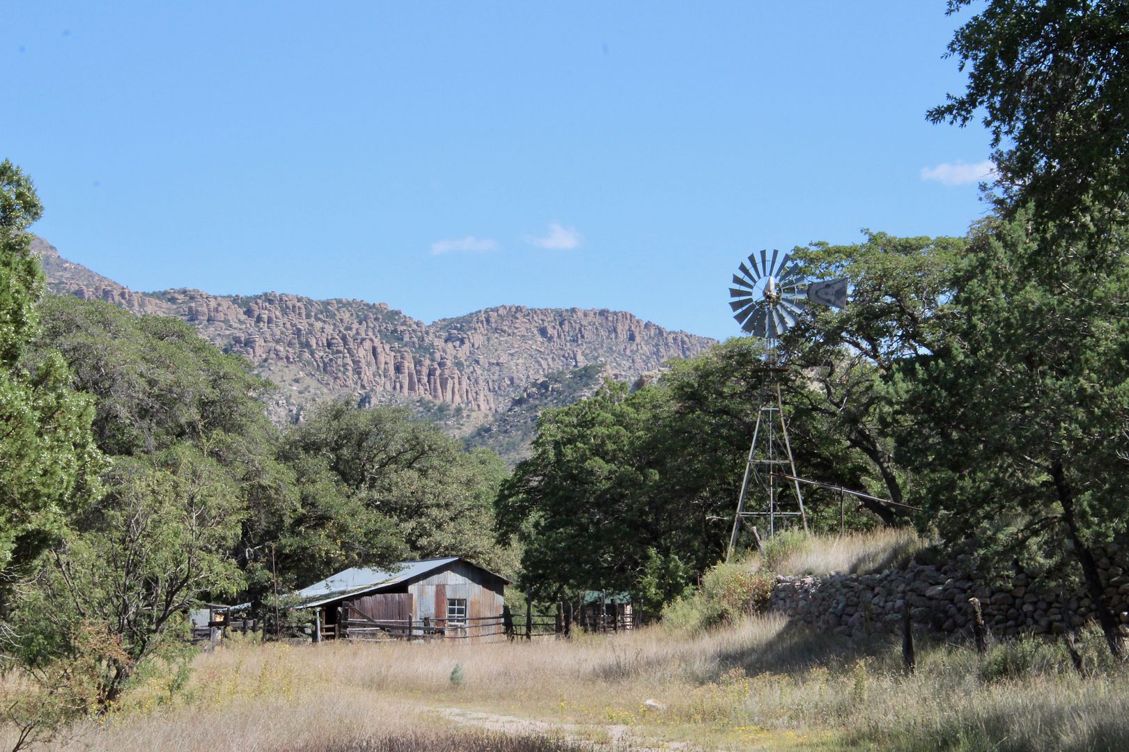
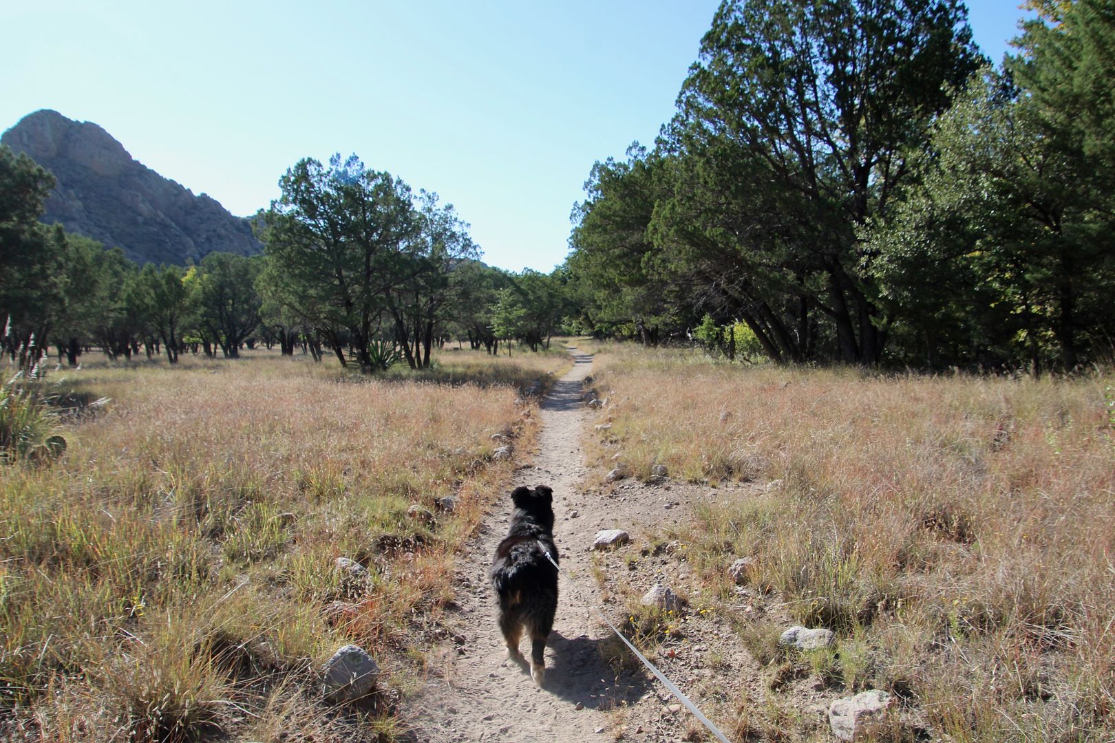
We drove back to the Faraway picnic area to each our lunch. Leashed pets are permitted here, so we walked to Faraway Ranch and then Stafford Cabin.
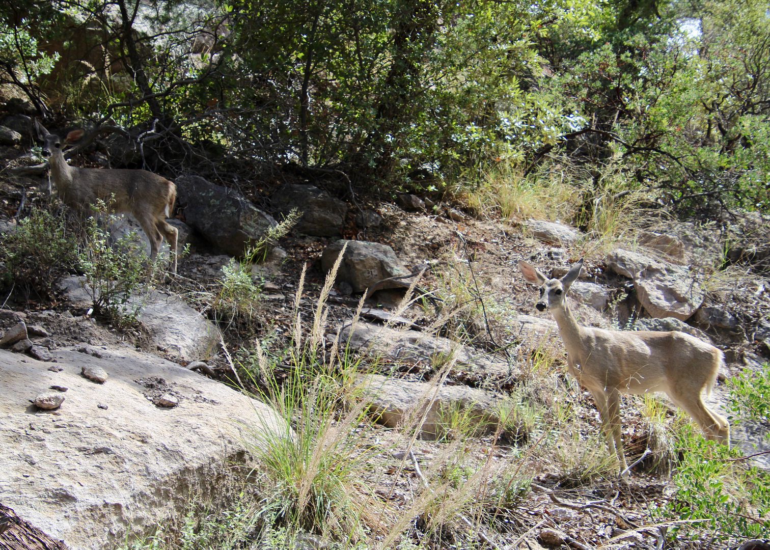
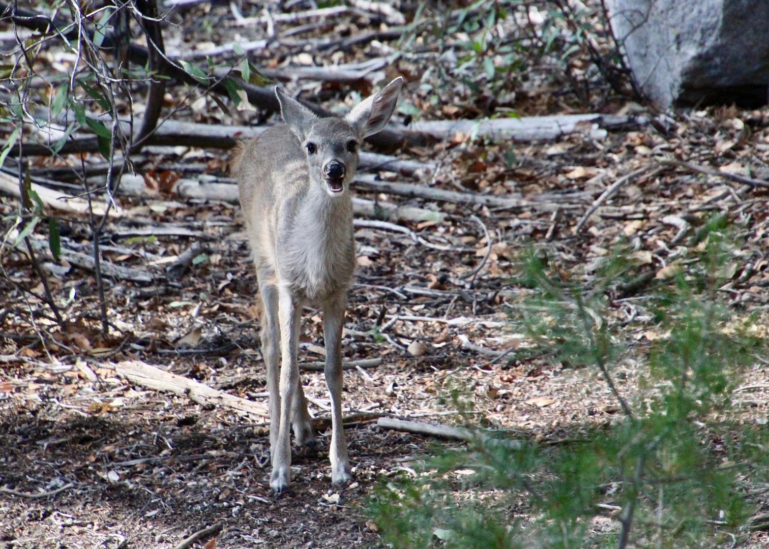
Our doggie, Sadie, saw this sweet young deer, but they just stared at each other.
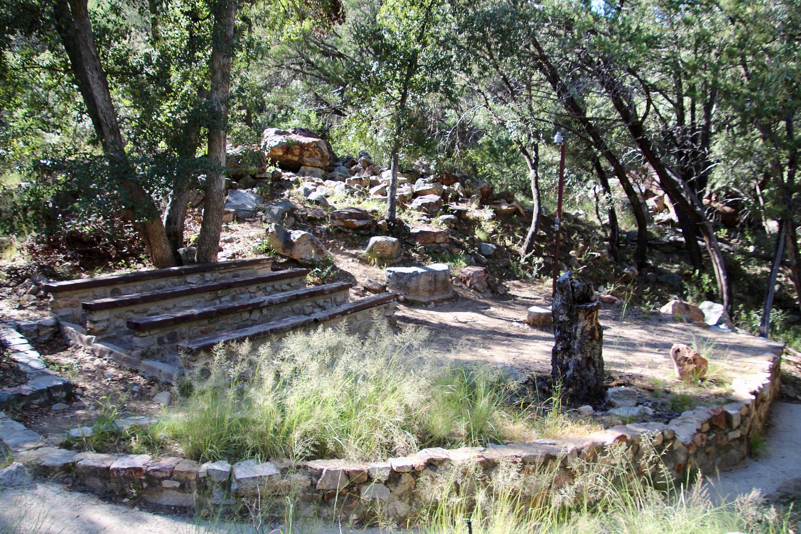
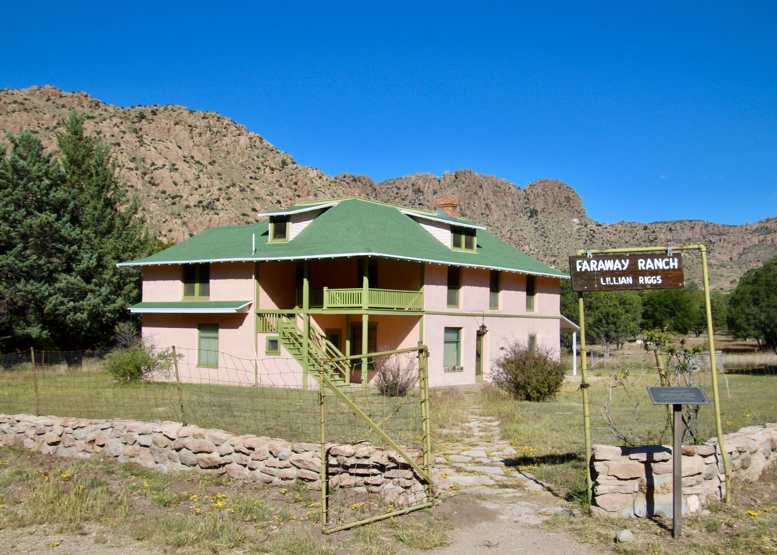
The primitive frontier Erickson home was built here in the 1880s. It evolved into the ranch headquarters of the mid-1900s you can see today. Ed Riggs married Lillian Erickson (daughter) and helped survey the land of the national monument and designed many of the trails here. After the deaths of the three Erickson children, the ranch and its furnishings became the property of the National Park Service.
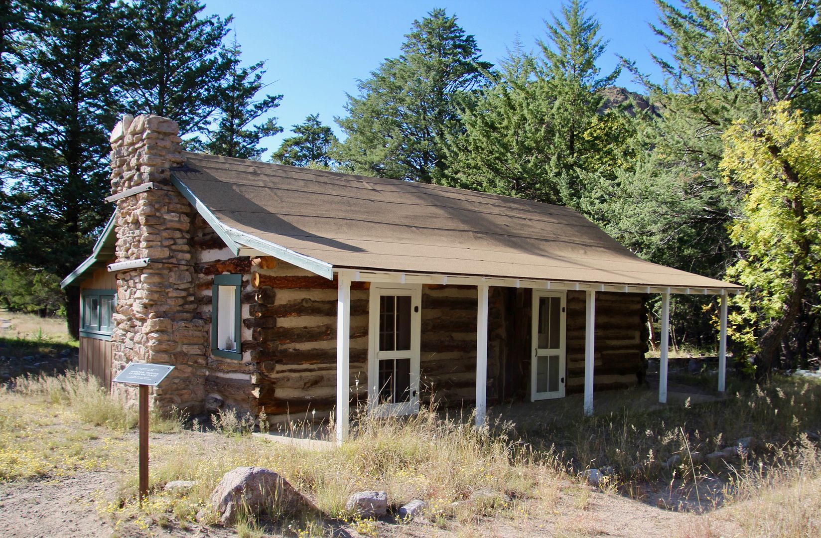
Continuing on the trail we came to the Stafford Cabin. Built in 1880 by Ja Hu Stafford and his wife, Pauline, as a one-room cabin, additions were made as the family grew. In 1918, the Ericksons purchased the property from the Stafford family. After renovations, the cabin provided additional accommodations for guests of the Faraway Ranch.
Sadie enjoyed the time spent on the trails! Here she is on the Silver Spur Meadow Trail.
We were so glad we made the drive to this place. The rock formations are really very unique. And as always, I am horrified to learn of the terrible history of conflict between Native Americans and the encroaching US military and settlers. For
additional information about Chiricahua National Monument, go to
www.nps.gov/chir.