Located about an hour north of Tucson is Mount Lemmon, the tallest peak in the Santa Catalina Mountains. They are at the southern end of the Rocky Mountains and the northern end of Mexico’s Sierra Madre Mountains (2,000’ to 10,000’ in elevation). Because the mountains of southeastern Arizona rise like islands in a desert, the only paved road to the summit of Mount Lemmon has recently been designated Sky Islands Scenic Byway but is also known as General Hancock Highway.
The scenic byway is 27-miles with 30+ sites of interest and recreation along the route (camping, hiking, biking, rock climbing, picnicking). Breathtaking mountain views, rock formations, mountain forests, and deep canyons can be seen along the way. The temperature at the summit is usually 20 degrees to 30 days cooler than Tucson.
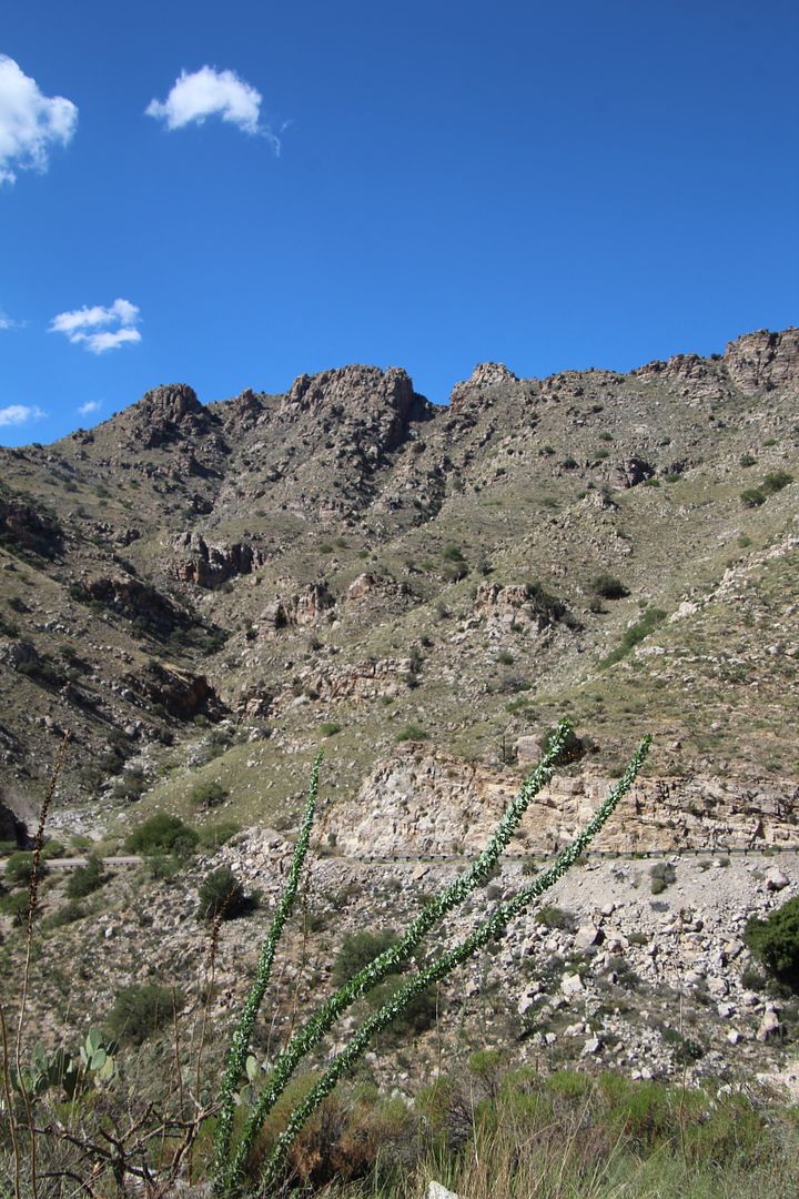
Here’s the view from Babad Do’ag Vista (the O’odham name for Mount Lemmon).
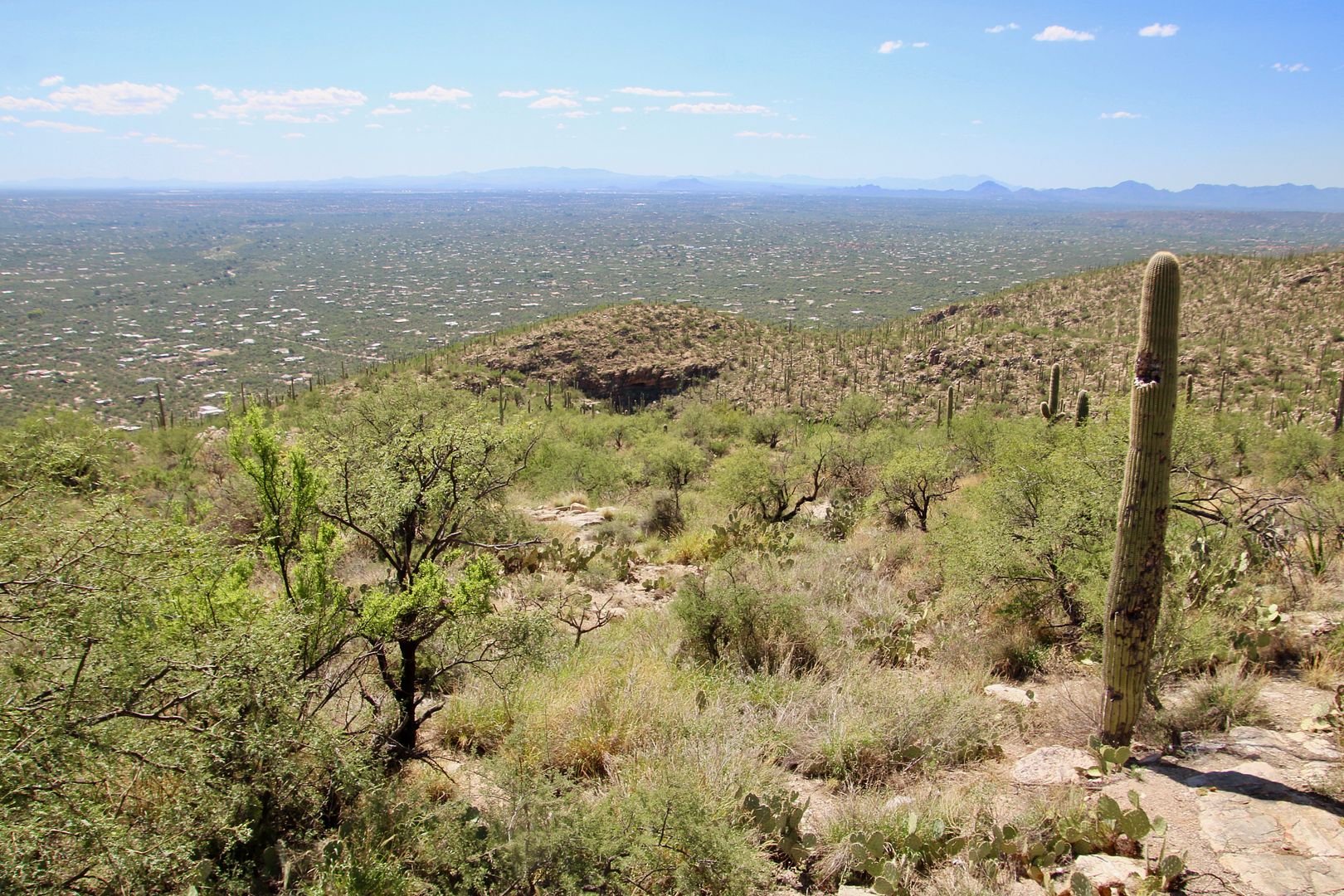
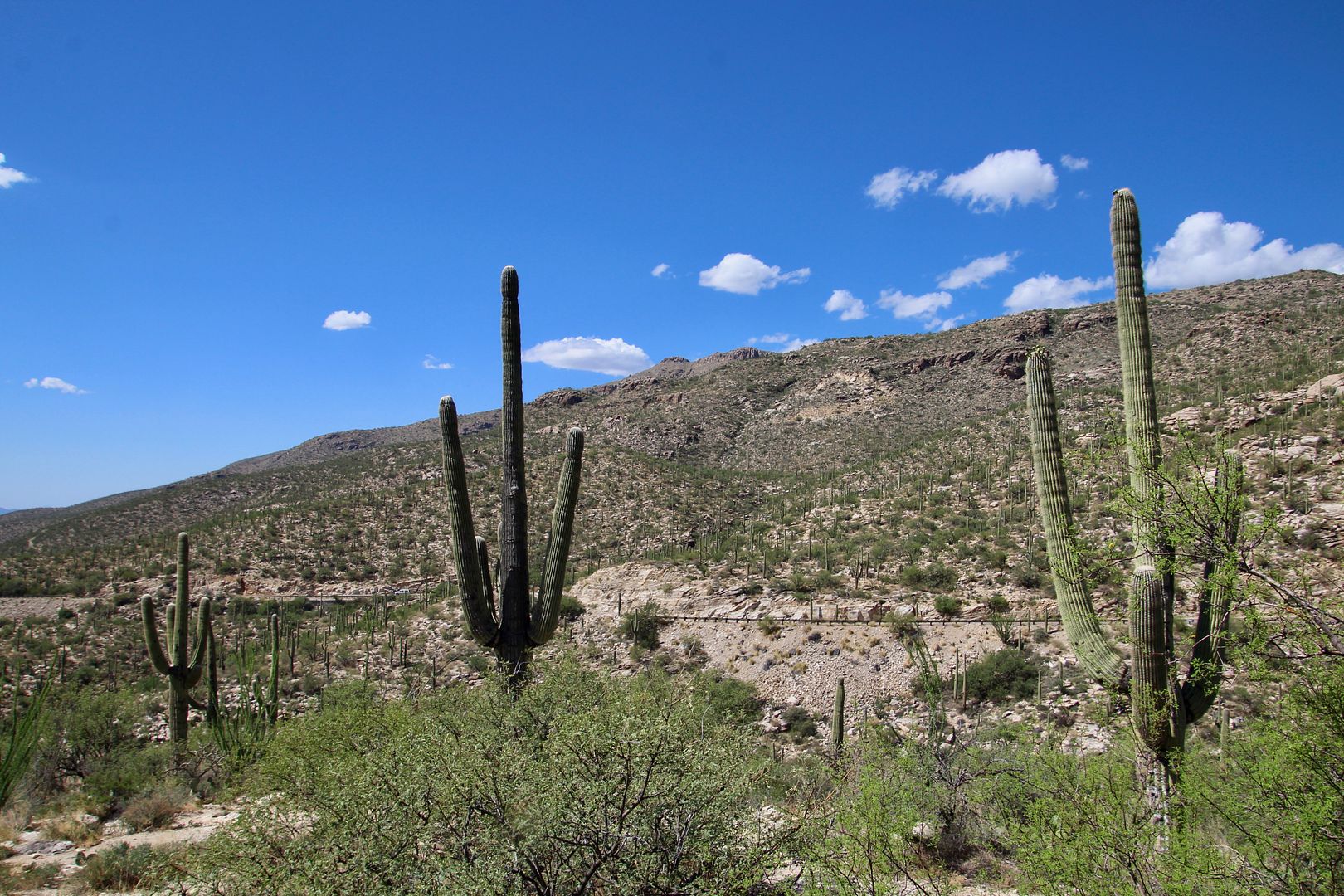
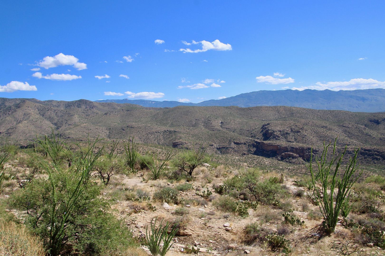
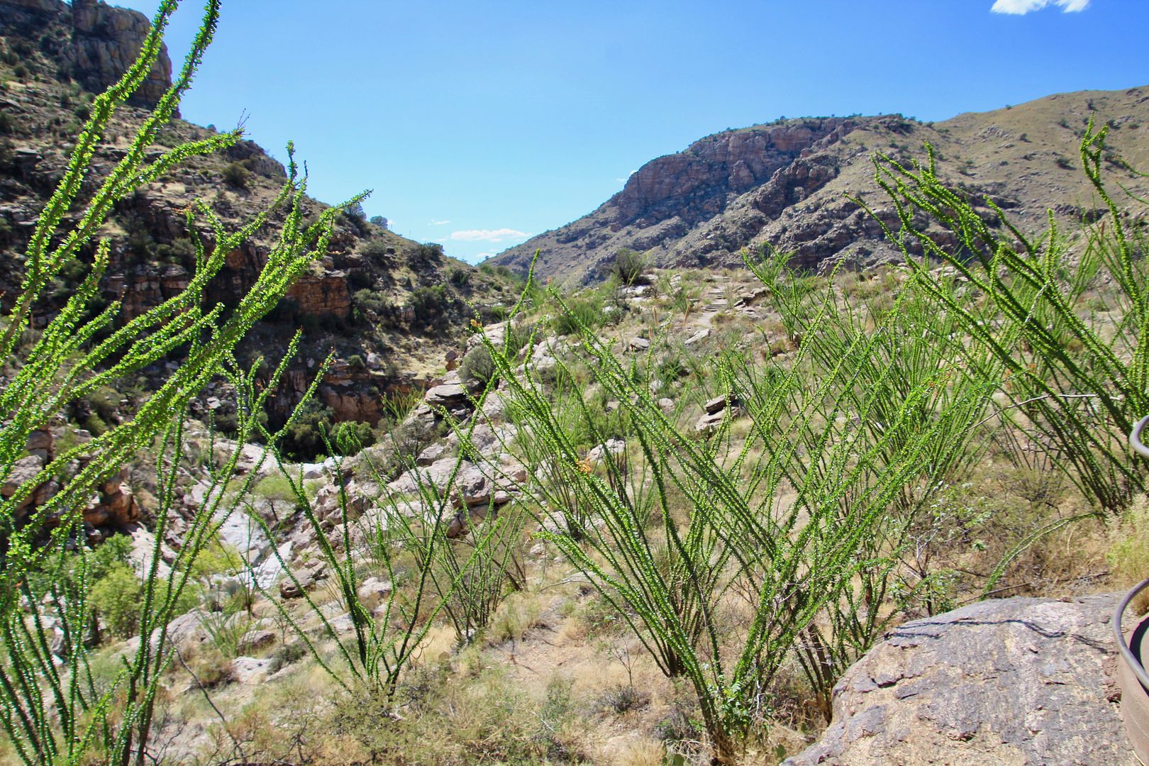
Saguaros grow at an elevation of 4,000’ or less. As we gained altitude there were less and then eventually none, although the octolllo (with long spiky branches) thrive in altitudes up to 6,700’.
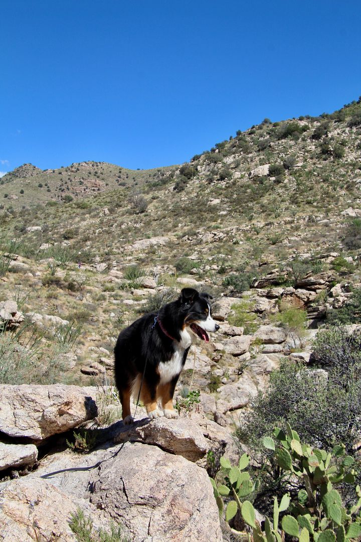
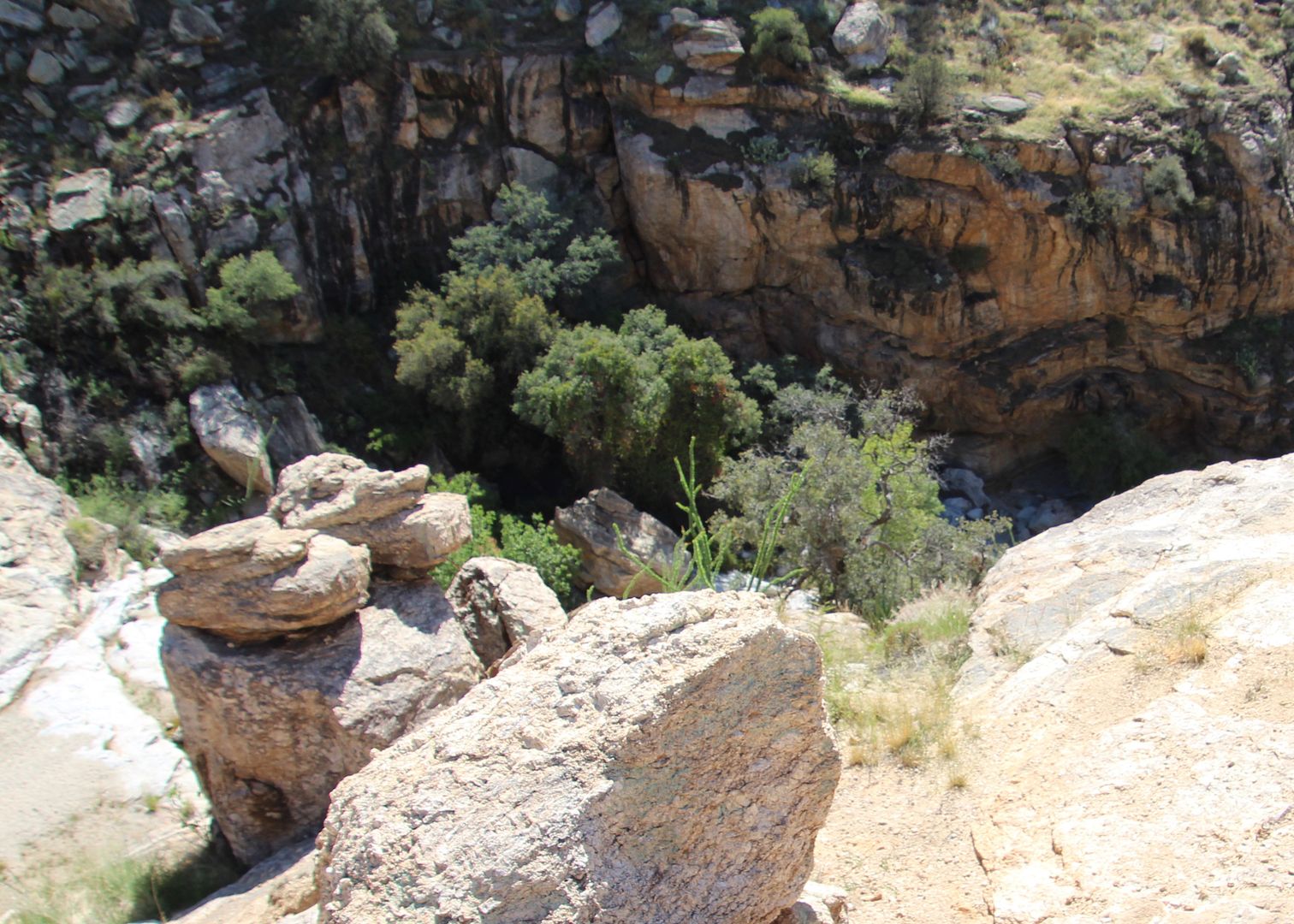
We did some exploring at Molina Canyon Vista Overlook where a trail leads to the rim of the canyon. This is part of the Coronado National Forest, so dogs are permitted (which made our girl, Sadie, very happy).
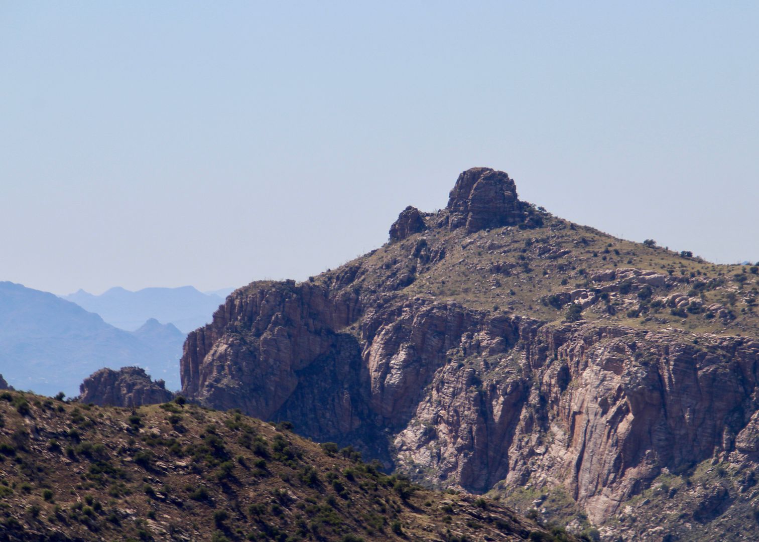
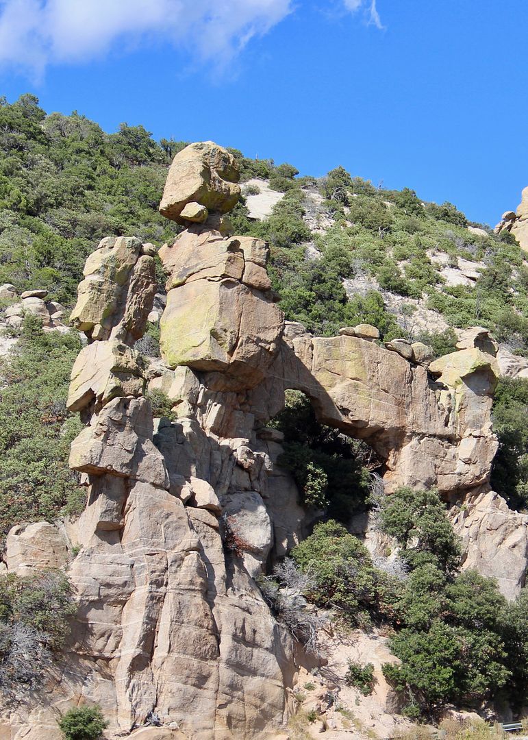
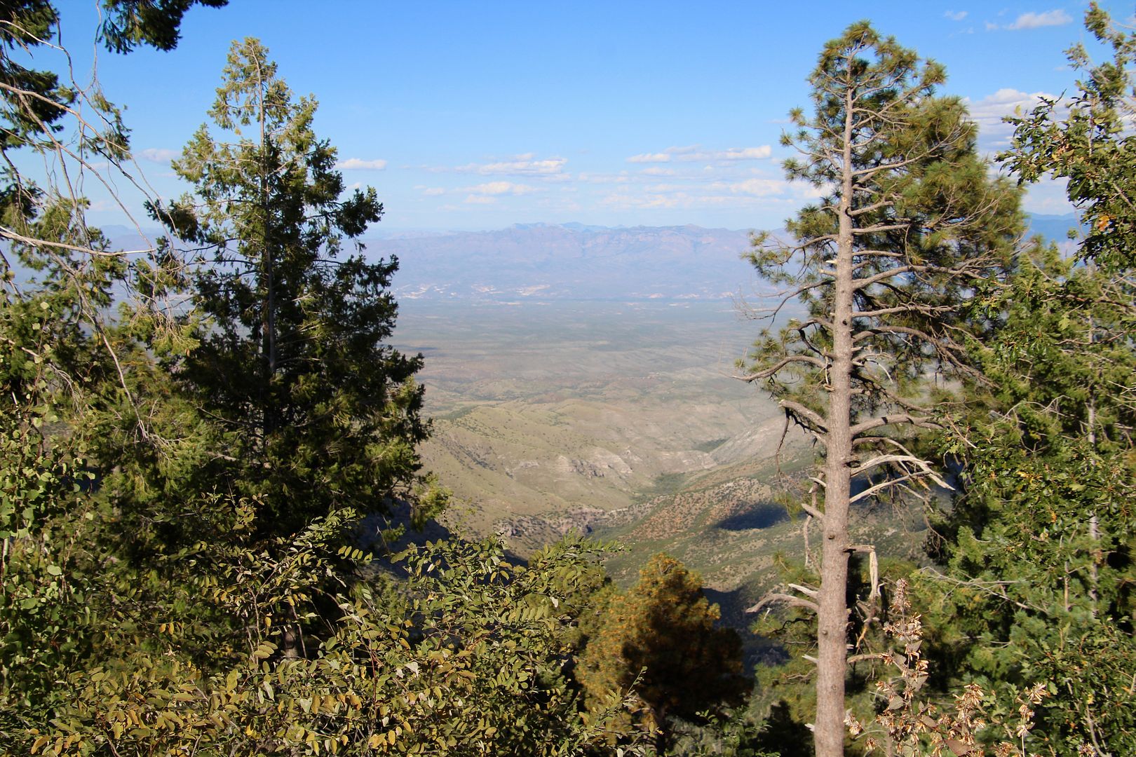
In the distance is Thimble Peak (elevation 5,031’) that separates Bear Canyon watershed from Sabino Canyon watershed. The second photo is a closer look at this rock formation composed of gneiss from the Cenozoic period.
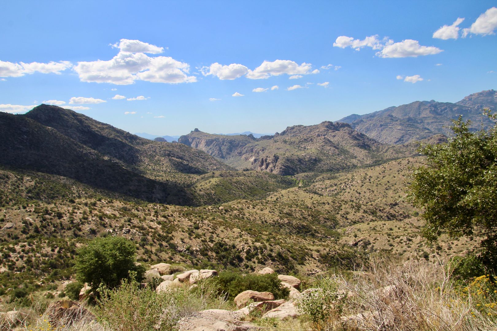
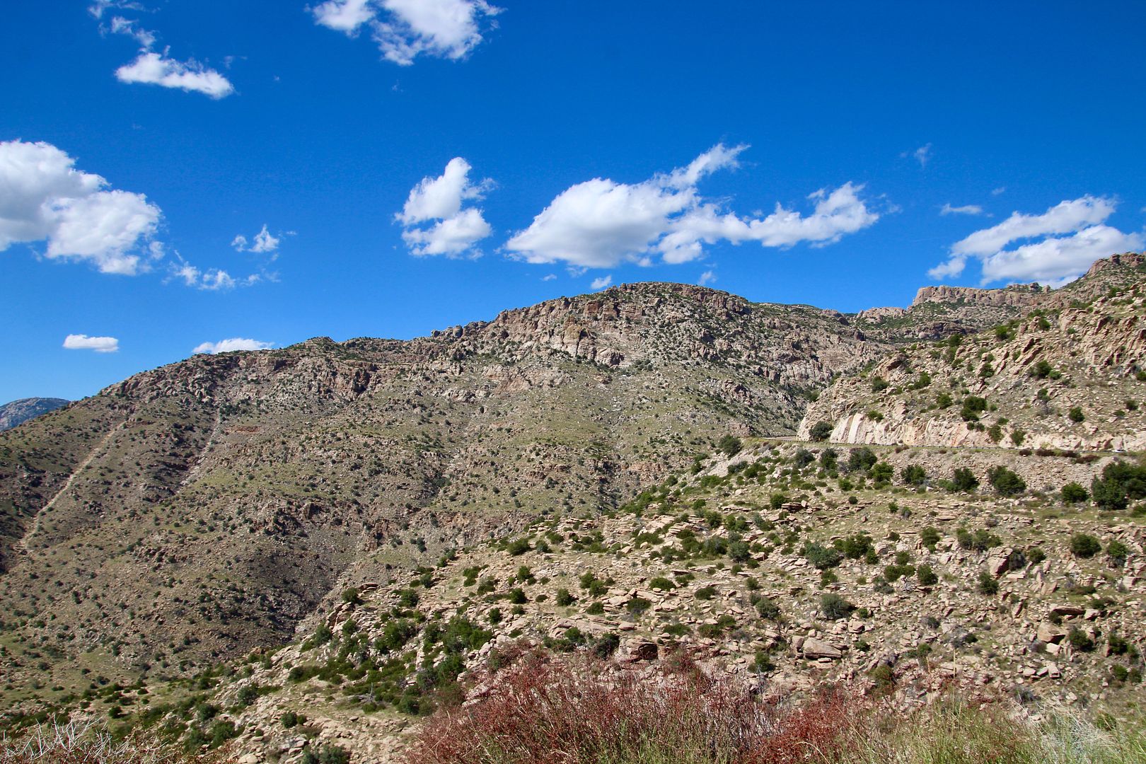
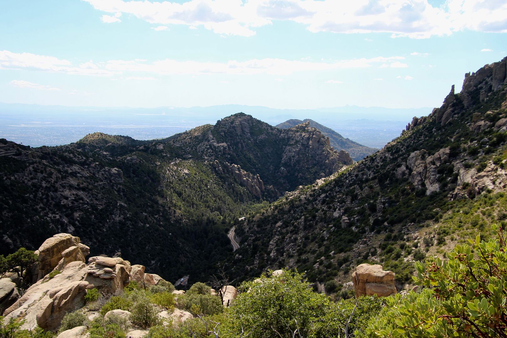
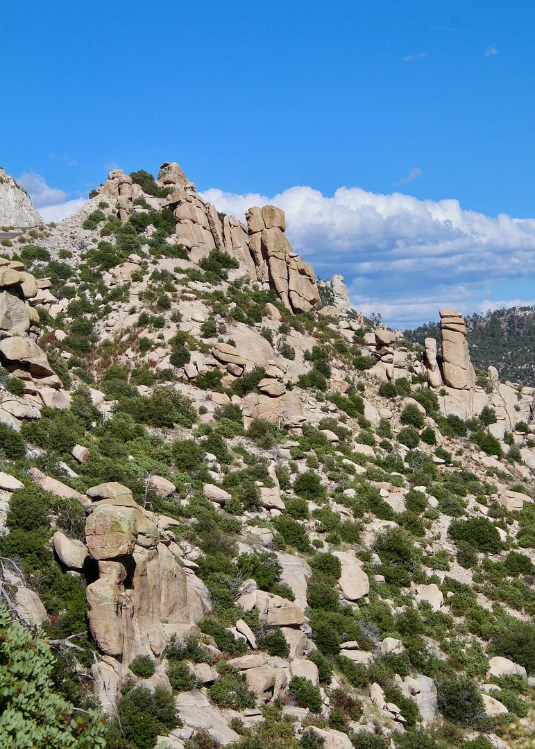
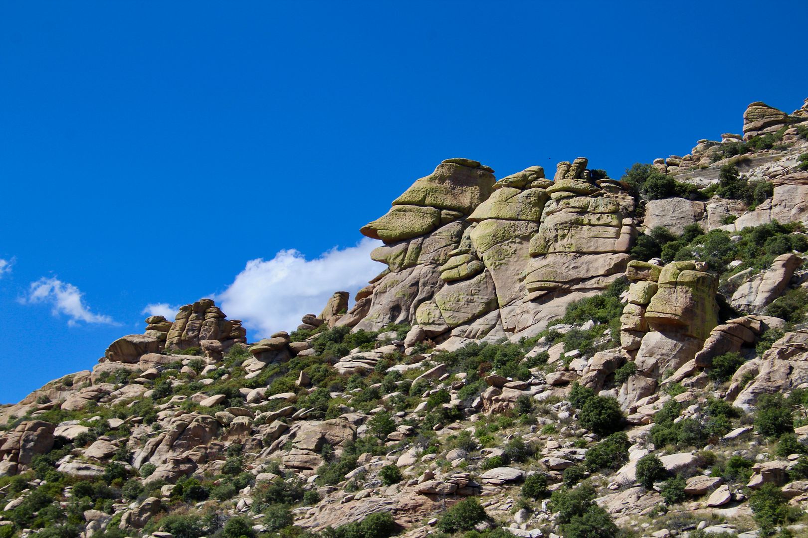
We stopped at numerous overlooks to enjoy the interesting rock formations and stunning vistas.
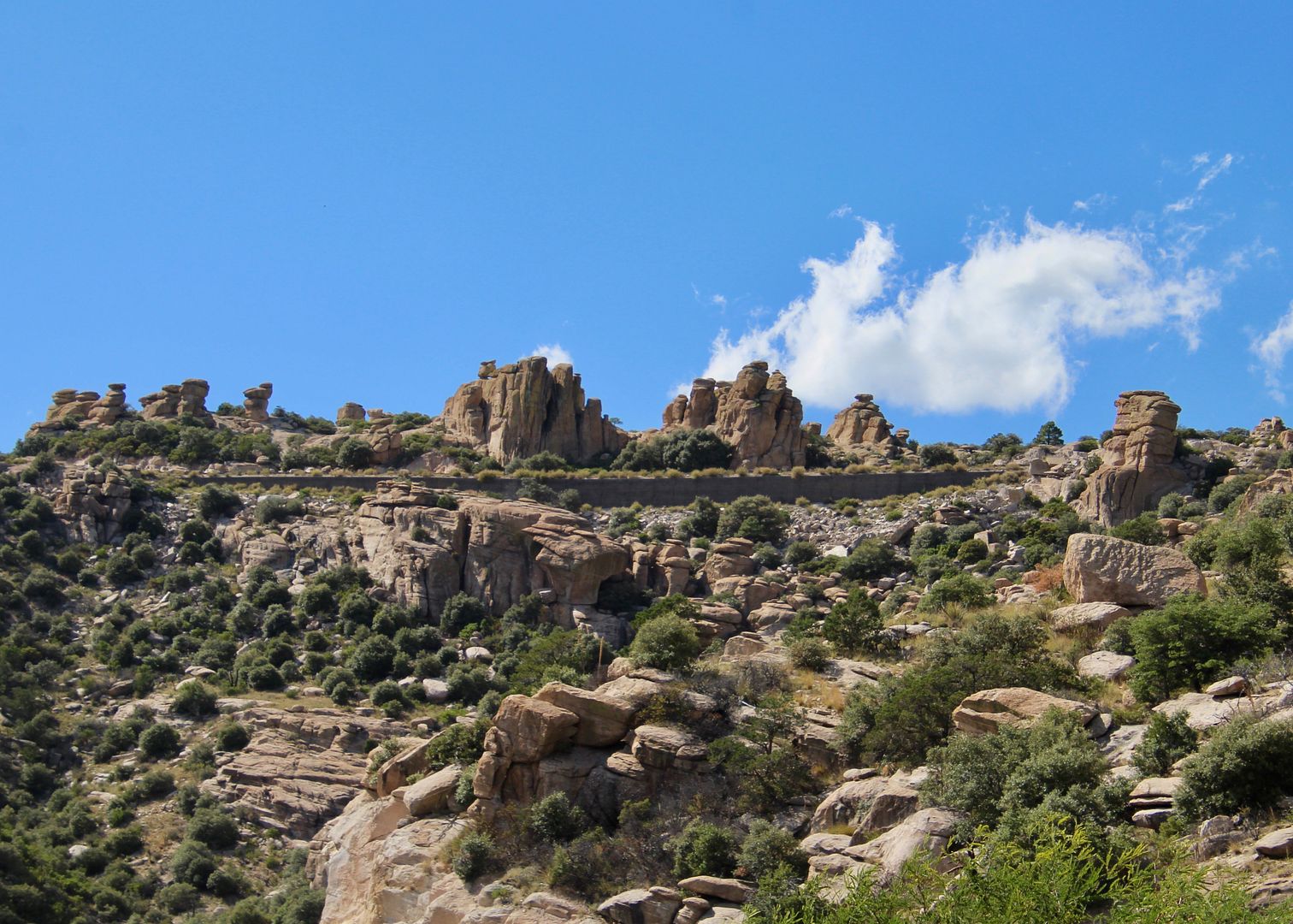
Weathering of rocks here have broken them into blocks and columns. Continual erosion rounds the corners of the rock forming pedestals and other interesting shapes. These columns of rock are called hoodoos and can be up 100’ tall. Goosehead Rock is an interesting example.
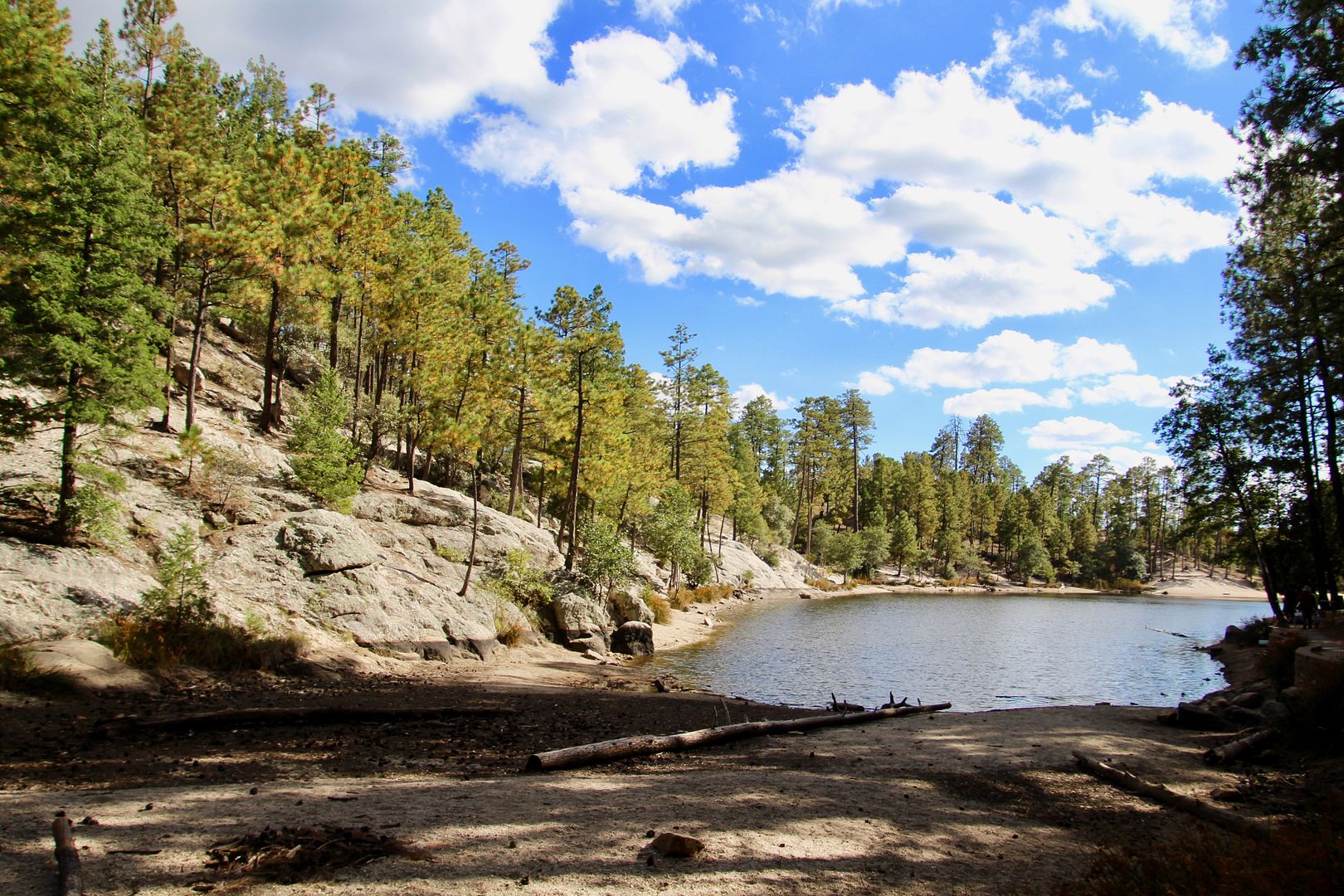
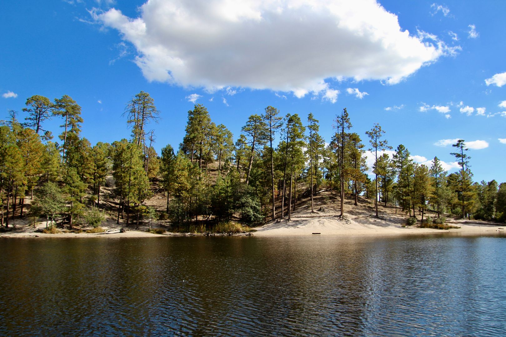
Rose Canyon Lake was our next stop. What a delight to see a mountain lake after so much time in the desert environment! The dam was built here by prison construction crews in 1960. Rain and snowmelt fill the lake.
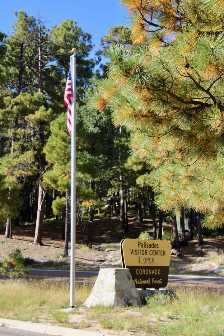
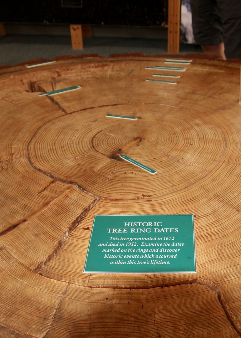
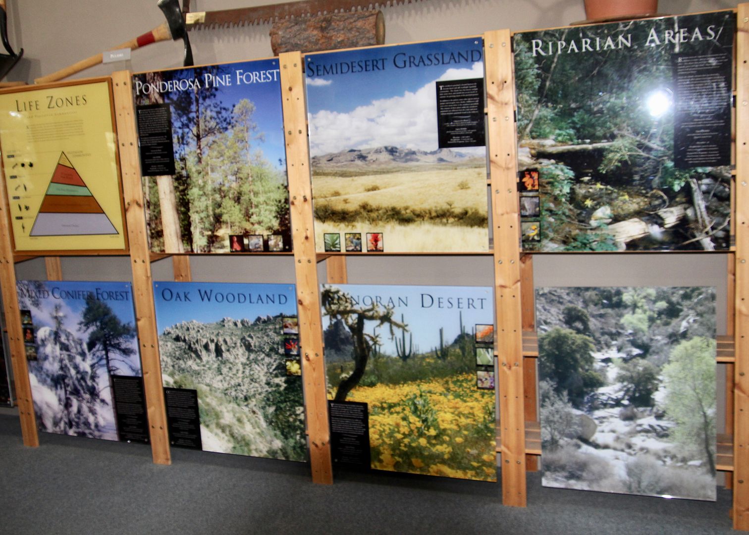
We made a quick stop at the Palisades Visitor (Coronado National Forest) where there are exhibits about the ecological zones of Mount Lemmon. There is a small gift shop as well as maps of the area.
The San Pedro Valley is an important North American flyway as millions of birds migrate annually through the area relying on the water from the river. Copper mining is also a key natural resource here with Arizona supplying 65% in the US.
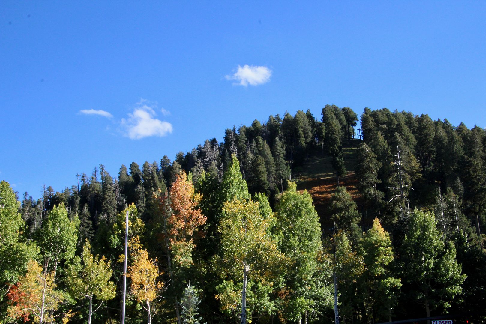
Continuing to the summit we stopped near Mount Lemmon Ski Valley. While the Sonoran Desert far below gets only 12” of rainfall annually, the NE side of Mount Lemon receives about 200” of snow annually. Can you see the ski lifts? The Iron Door restaurant is located nearby (elevation 8,200’)
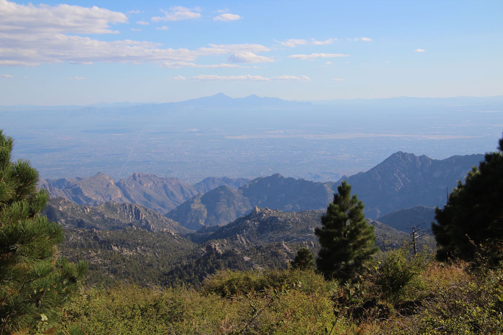
Views from the summit (elevation 9,157’) are stunning.
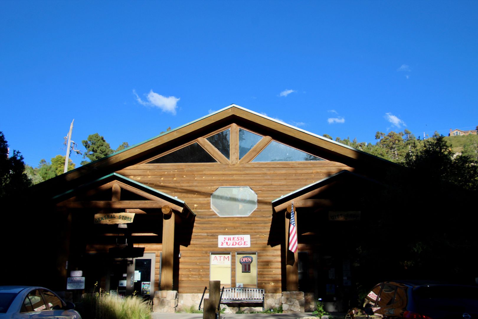
We made a quick stop in Summerhaven (7,700’) at the Mount Lemmon General Store and Gift Shop. John picked up some raspberry chocolate fudge that was absolutely delicious! The popular Sawmill Run Restaurant is also located in the town if you are interested in a bite to eat.
We thoroughly enjoyed our day on the mountain. Because the road starts in the Lower Sonoran Desert and climbs to the high forest of the Canadian zone, it is the biological equivalent of driving from the deserts of Mexico to the forests of the Canadian Rockies, in just 27 miles!
No comments:
Post a Comment