In 1971, Congress established Gulf Islands National Seashore to protect the barrier island, salt marshes, wildlife, historic structures, and archeological sites along the Gulf of Mexico in Mississippi and Florida. There are multiple areas of the National Seashore in both states. We visited the Davis Bayou area in Mississippi when we were in Biloxi a couple of years ago. Five barrier islands are also located in MS, but only one (West Ship Island) is accessible by ferry (and no dogs are allowed). Private ships are needed to reach the other four islands (Cat, East Ship, Horn, and Petit Bois).
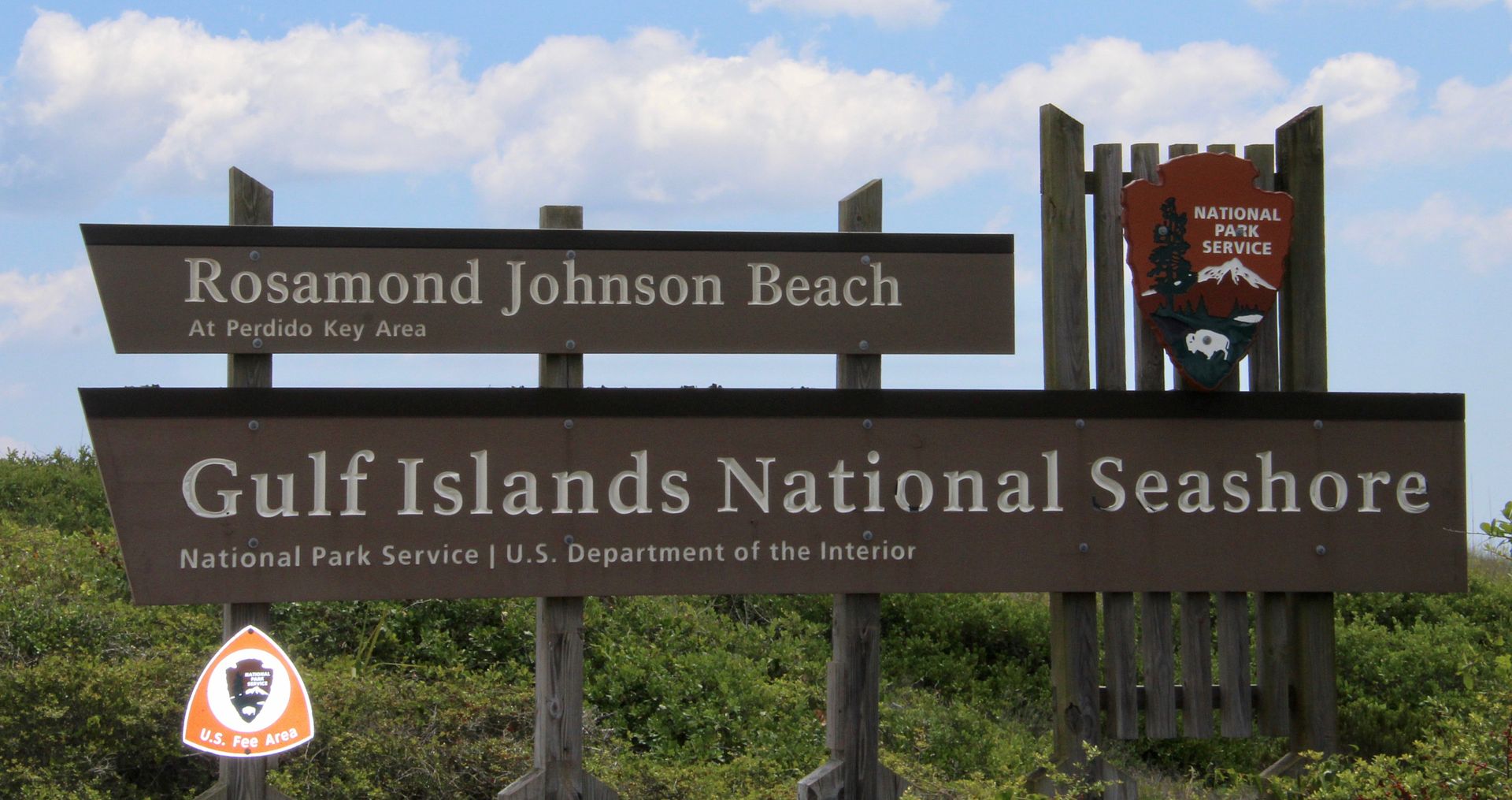
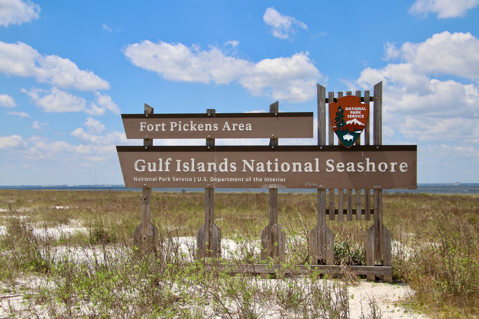
Four areas of the National Seashore are located in Florida: Perdido Key, Fort Barrancas, Fort Pickens, and Naval Live Oaks. We heard that we should not miss an opportunity to visit Fort Pickens on Santa Rosa Island, so we packed a picnic lunch and headed out (a 2-hour drive each way). Along the way, we stopped for a short visit to Perdido Key.
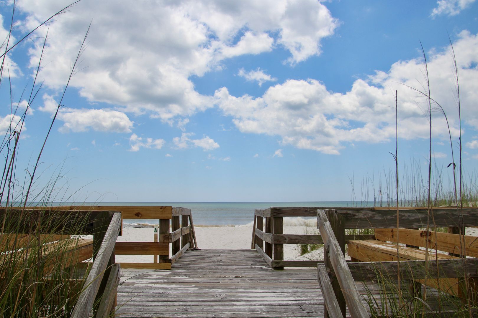
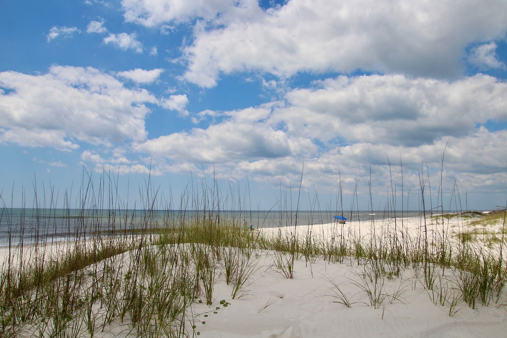
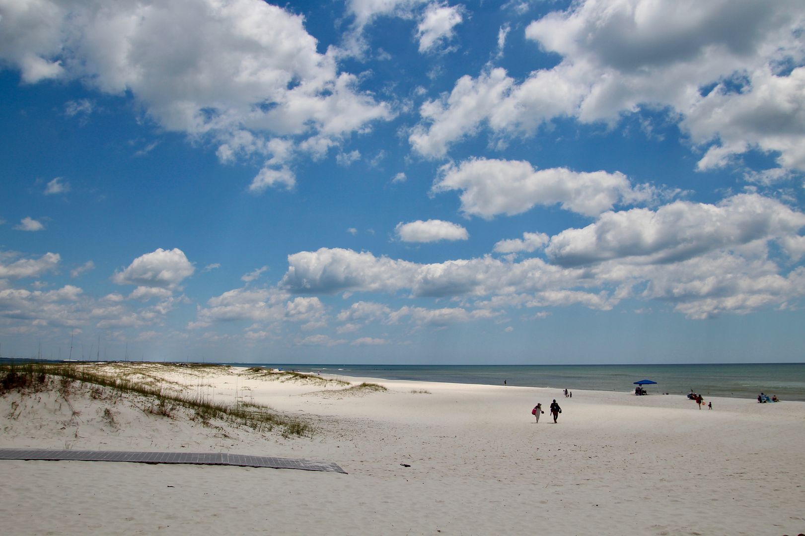
This island, like the other barrier islands here, are composed of fine, white, quartz sand that is carried to the Gulf of Mexico by rivers draining from the Appalachian Mountains. Blocking waves during severe weather systems, they help protect the mainland. Boardwalks along the Gulf provide access the beautiful, wide beaches. Pets are not permitted on the beach here.
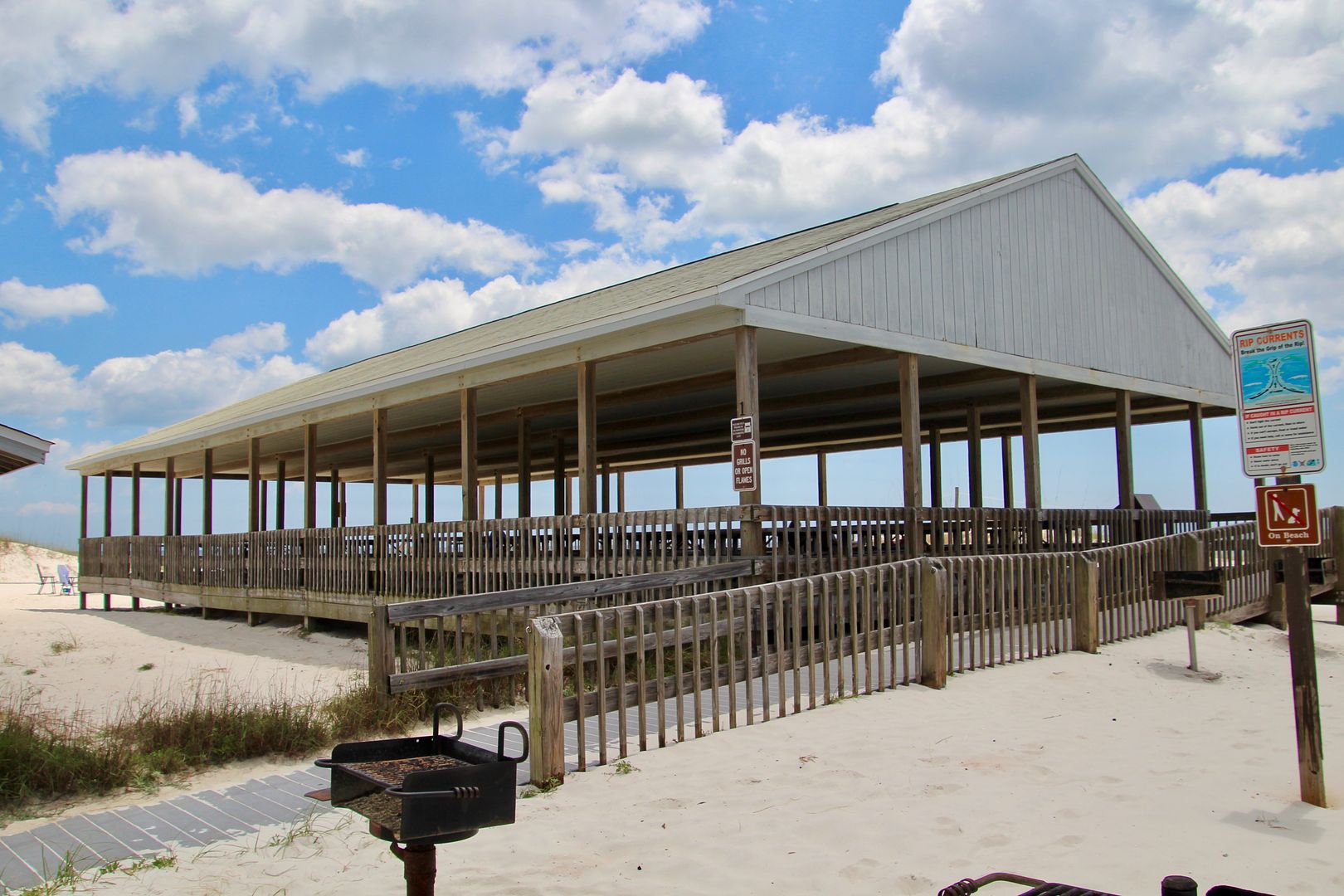
This beach is named for Private Rosamond Johnson, Jr., who was killed in July, 1950, during the Korean Conflict. He carried two wounded men to safety, under fire, and was killed when he returned for a third. During years of segregation in the south, this beach was one of the few that permitted African Americans. Two large pavilions are open to visitors; and, can be reserved upon request.
Shore birds, small animals (including the endangered dune mouse), and nesting sea turtles make their home here. There is an 11-mile round hike on Perdido Key (pets allowed), but we were anxious to see Fort Pickens, so we continued east.
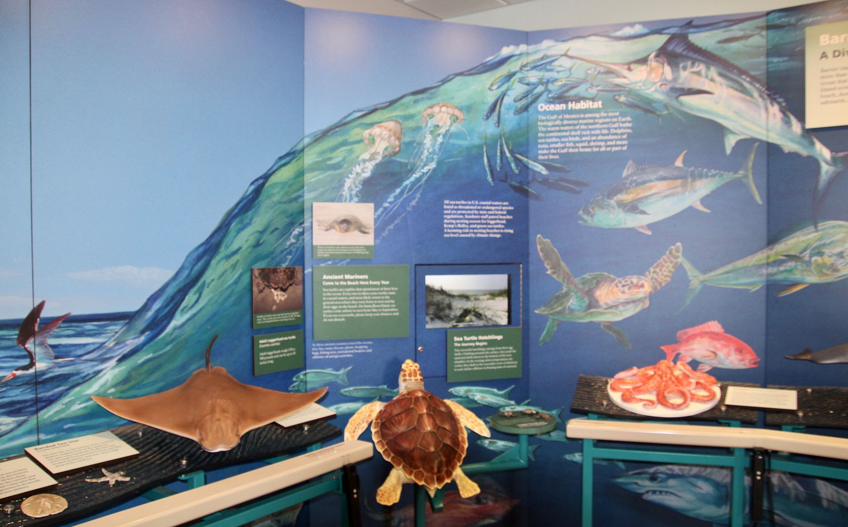
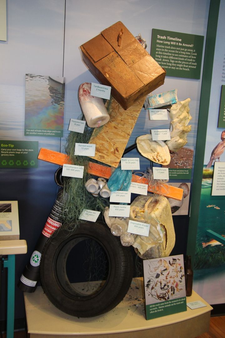
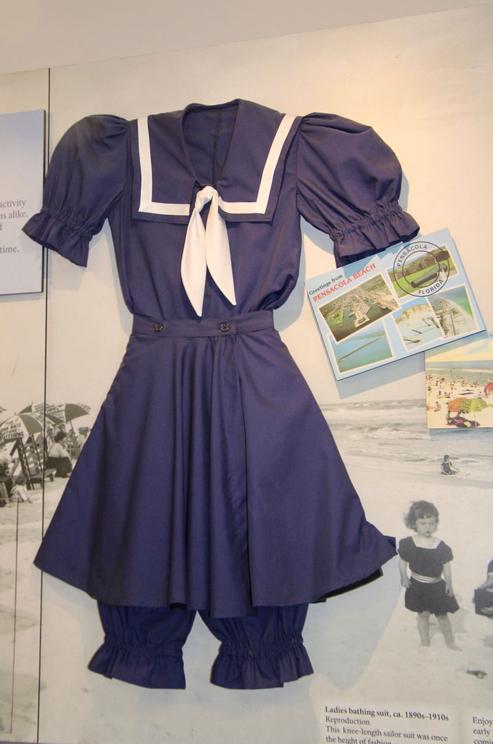
Our first stop was the Discovery Center where there are exhibits about the barrier island (Santa Rosa) and Fort Pickens. The serious problem of plastic, tires, and other debris is shown. As well as more light-hearted issues, like the bathing suit women sported from 1890-1910. Stylish!
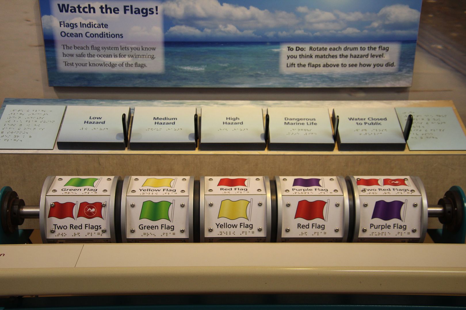
Knowing the meaning of the flags flown at all seashores is important to our safety. But do you know what a purple flag means? Dangerous marine life. Yikes, good to know!
From 1820 to 1867, engineers designed coastal fortifications constructed of bricks and stone from Maine to Florida to California. They were originally designed to protect our country from foreign invasion. However, they were also used during the Civil War.
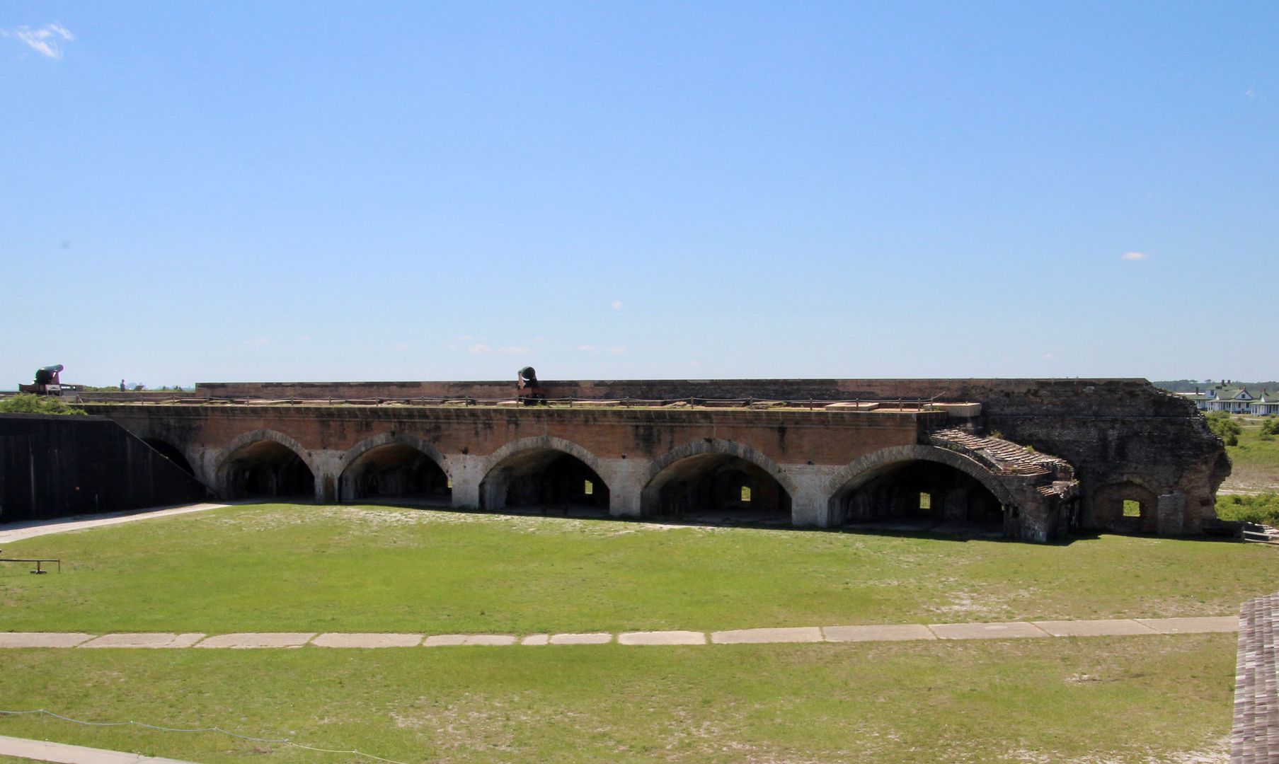
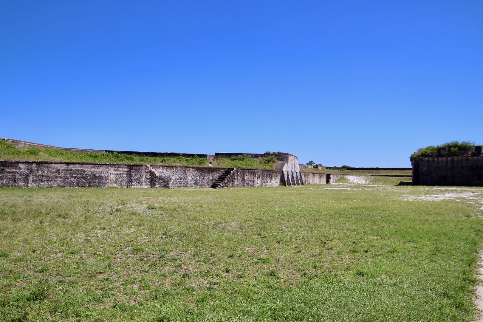
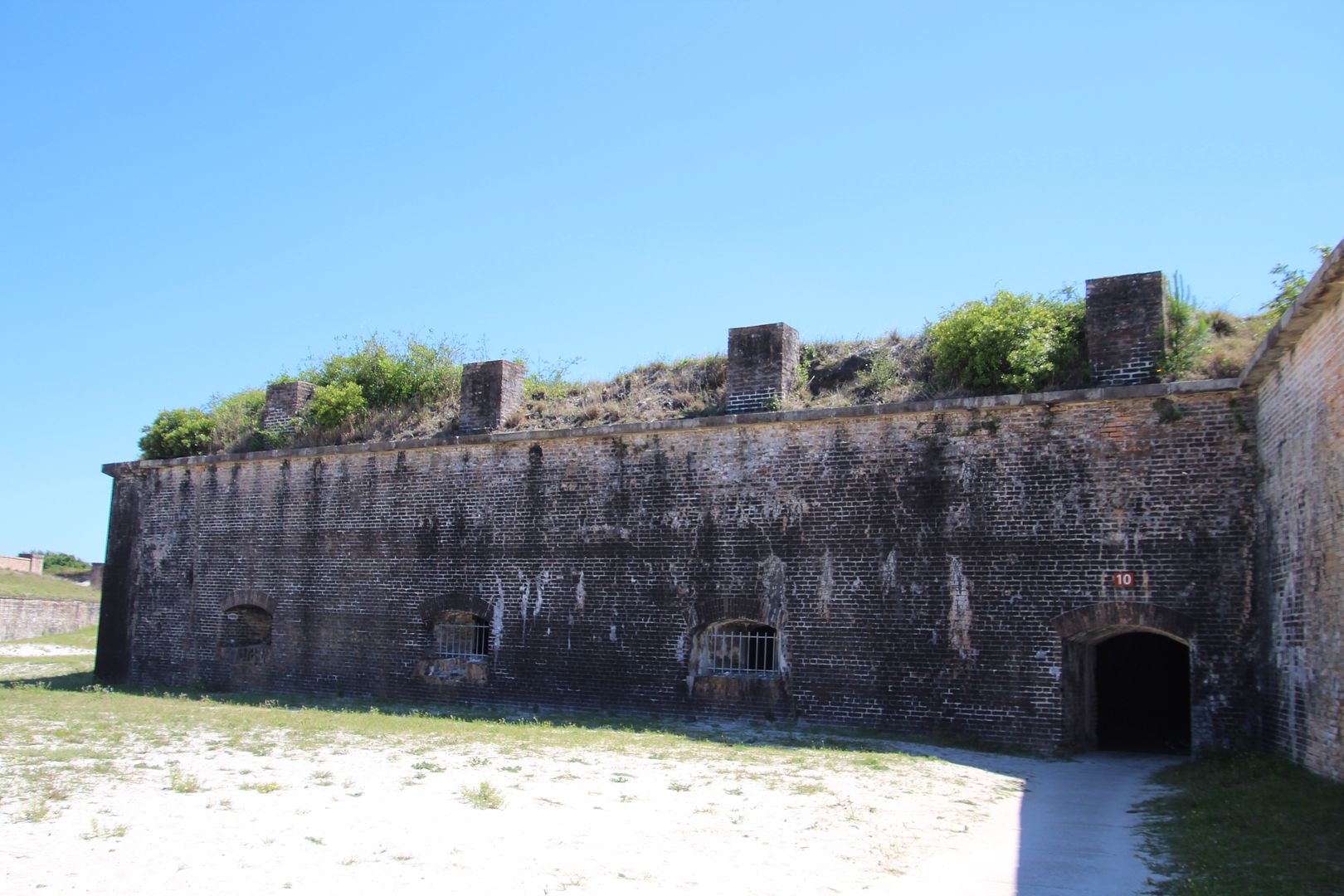
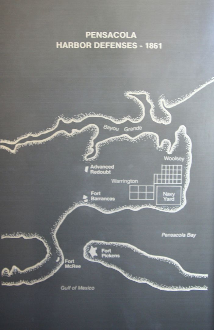
Built by the US Army to protect Pensacola Bay and a US Navy Yard, the fort had two levels along five walls designed to hold 200 cannons. About 1,000 solders could be garrisoned in the fort’s 58 casements. It was constructed between 1829 and 1834 primarily by slaves. It was named for Brigadier General Andrew Pickens who served with distinction during the Revolutionary War. It was used decommission in 1947 after WWII.
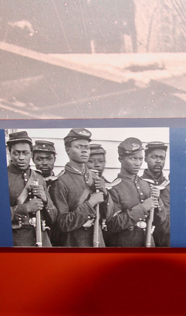
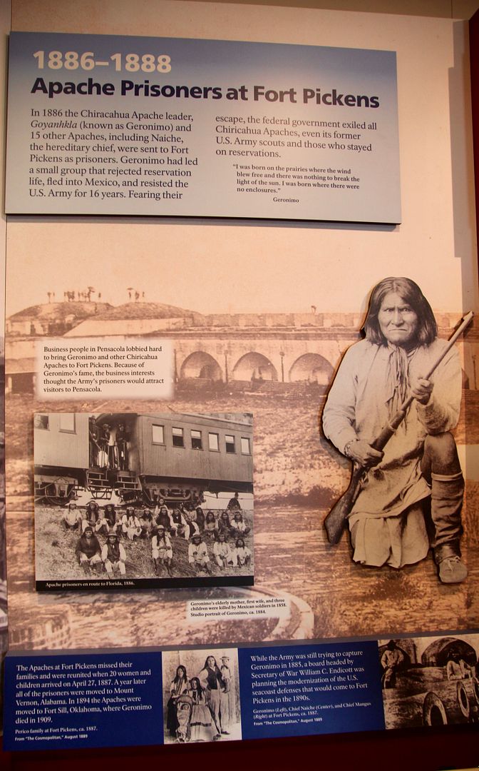
Fort Pickens was a Union holdout in the South throughout the Civil War; and, provided refuge for those seeking freedom. The 25thRegiment of US Colored Troops (organized in Philadelphia) occupied Fort Pickens from May, 1864, to December, 1865. After the Civil War, the US government turned to forcing Native Americans to relocate from the homelands. Geronimo and others were held as prisoners at Fort Pickens for 18 months beginning in 1887 until they were relocated to Mobile in 1888. They were eventually relocated to a reservation at Fort Sill, OK, in 1894. This was a terrible time in our history of our nation.
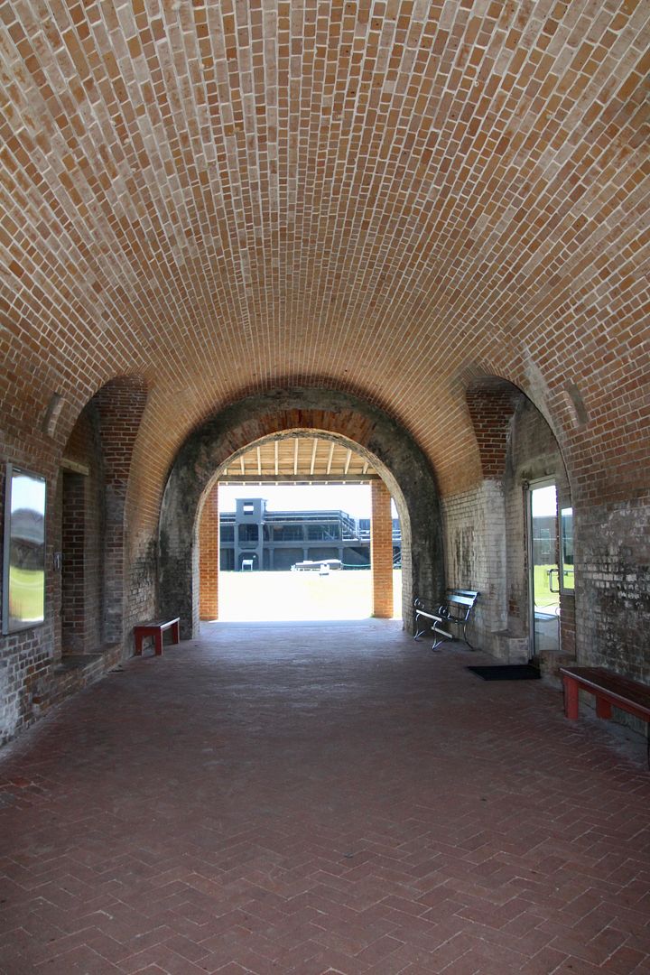
Beginning the self-guided tour, we entered the fort through the Sally Port (main entrance).
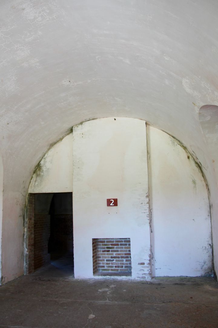
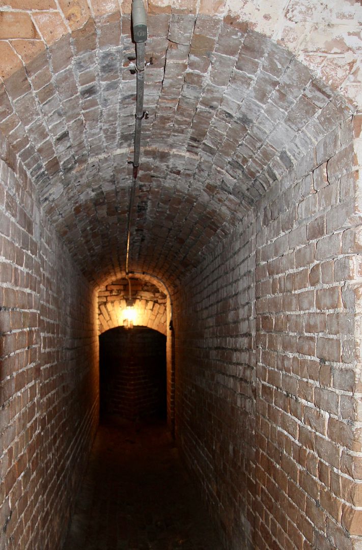
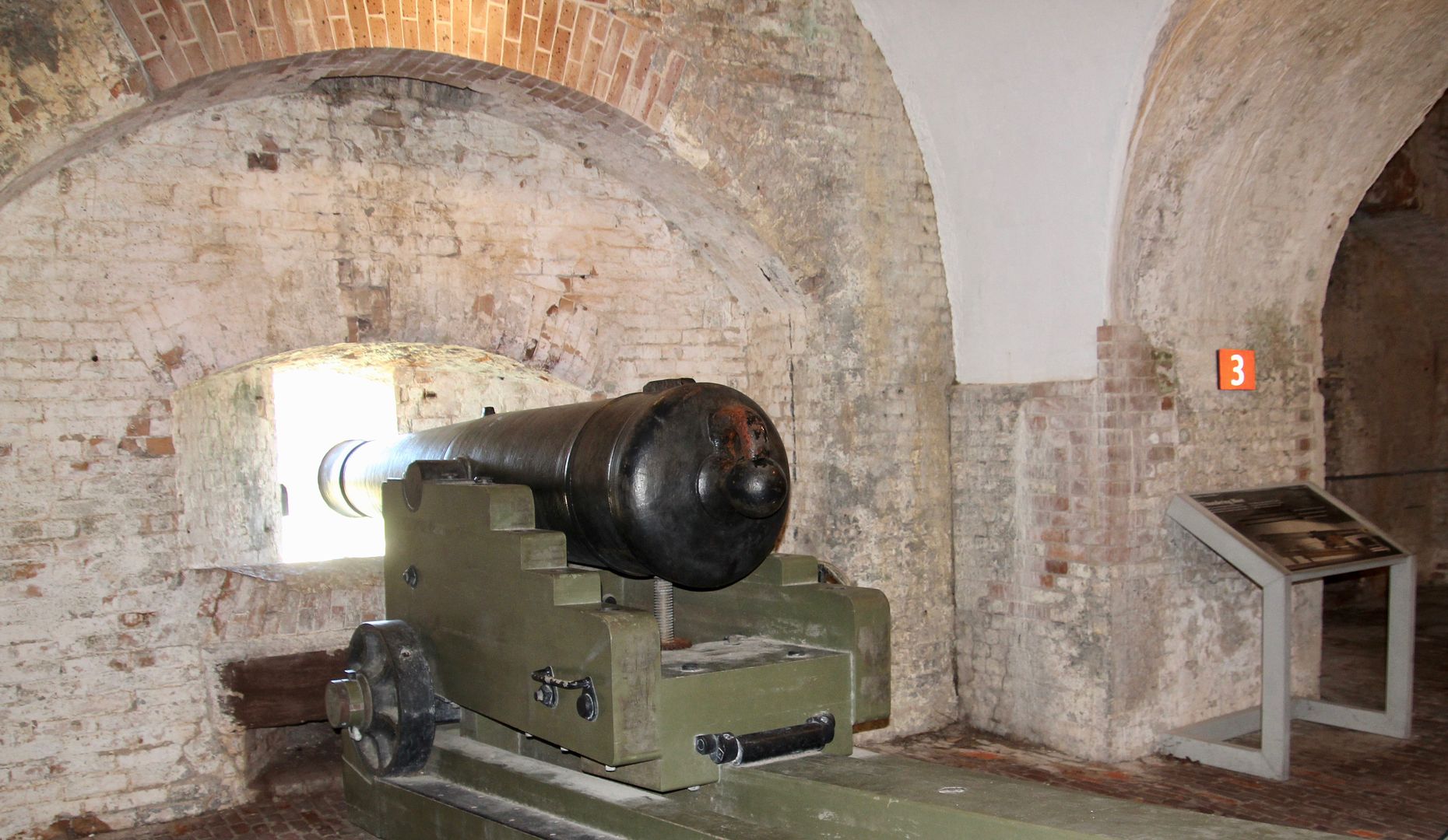
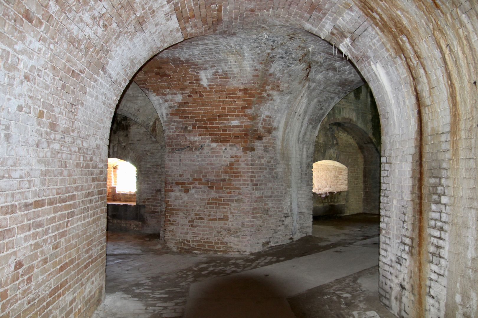
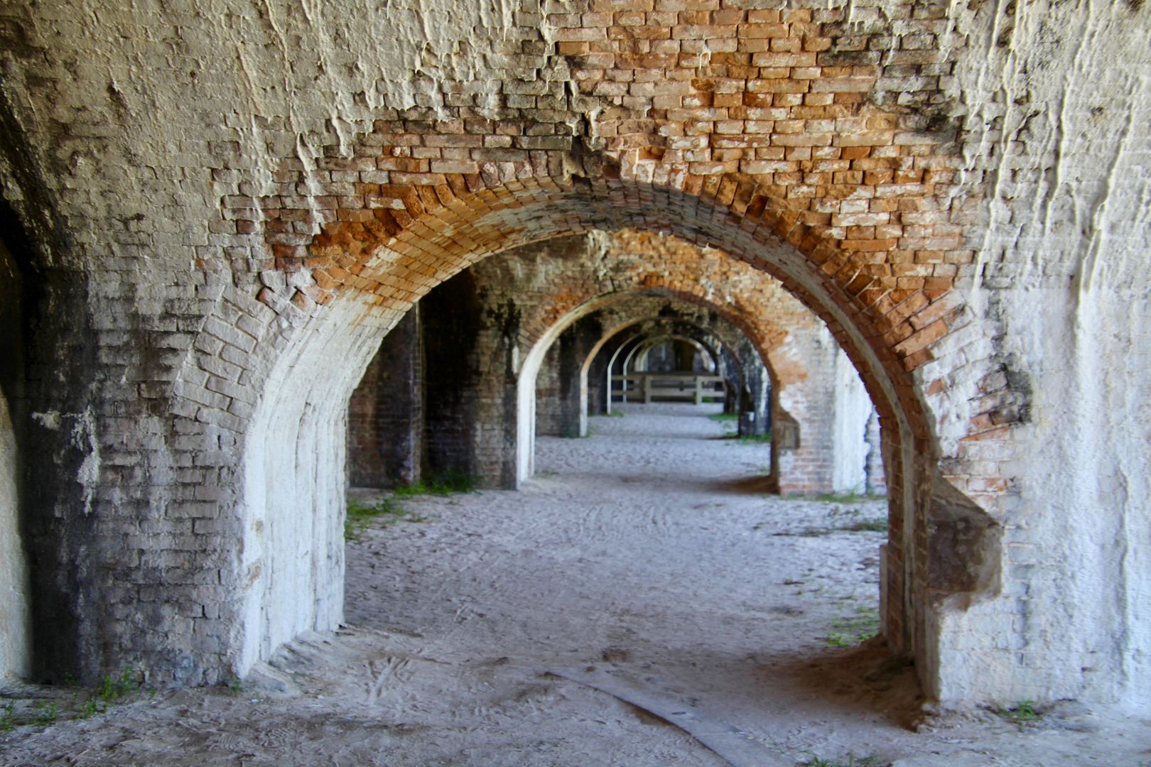
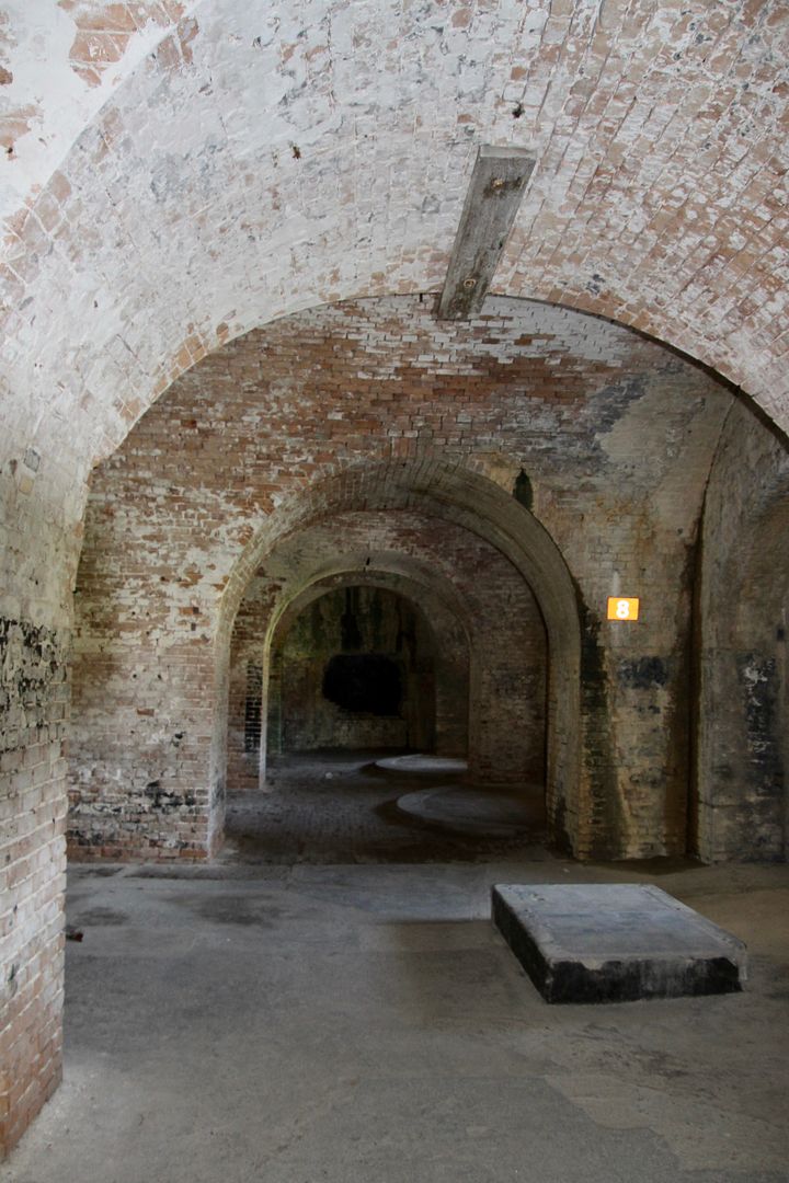
Typically furnished with a bed and desk, the plaster-lined rooms were officers’ quarters. The narrow tunnel led to three mine chambers (each held 1,000+ pounds of gunpowder. Arched rooms (casements) were built to protect artillery positions. This US Seacoast 32-pounder was cast in 1823 and could fire a cannonball about a mile.
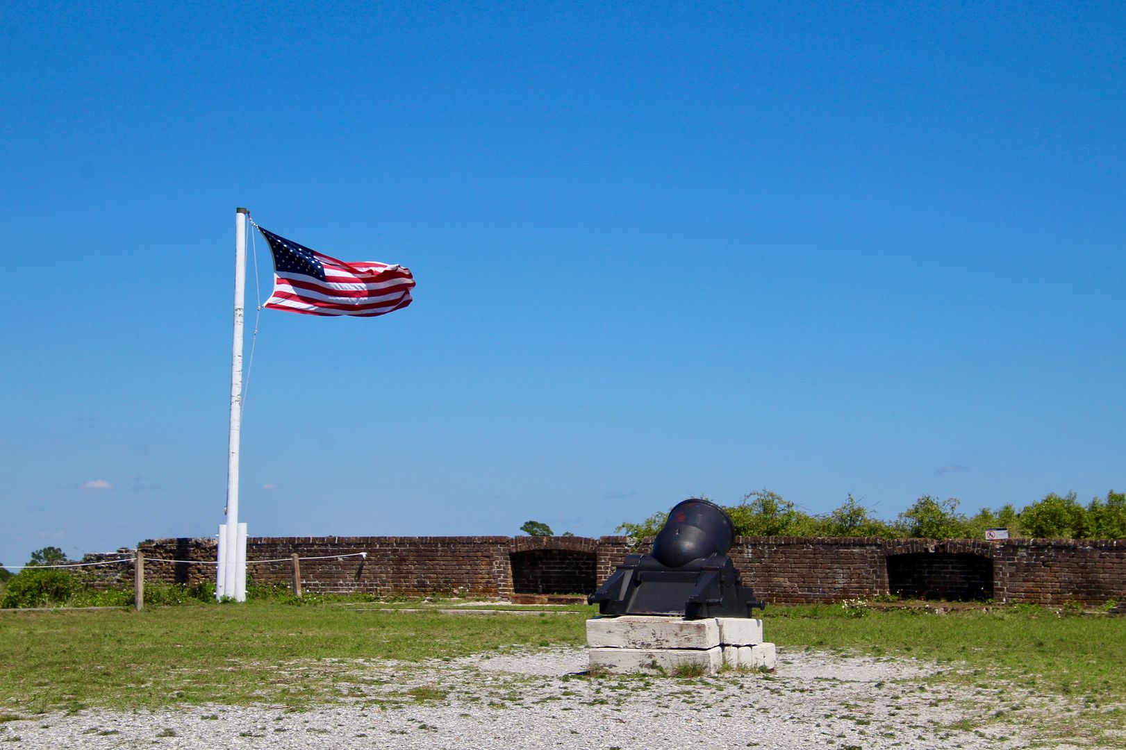
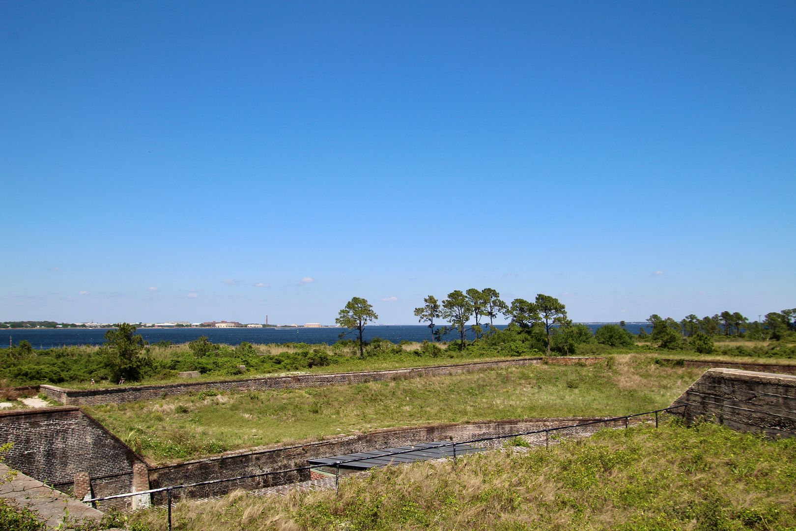
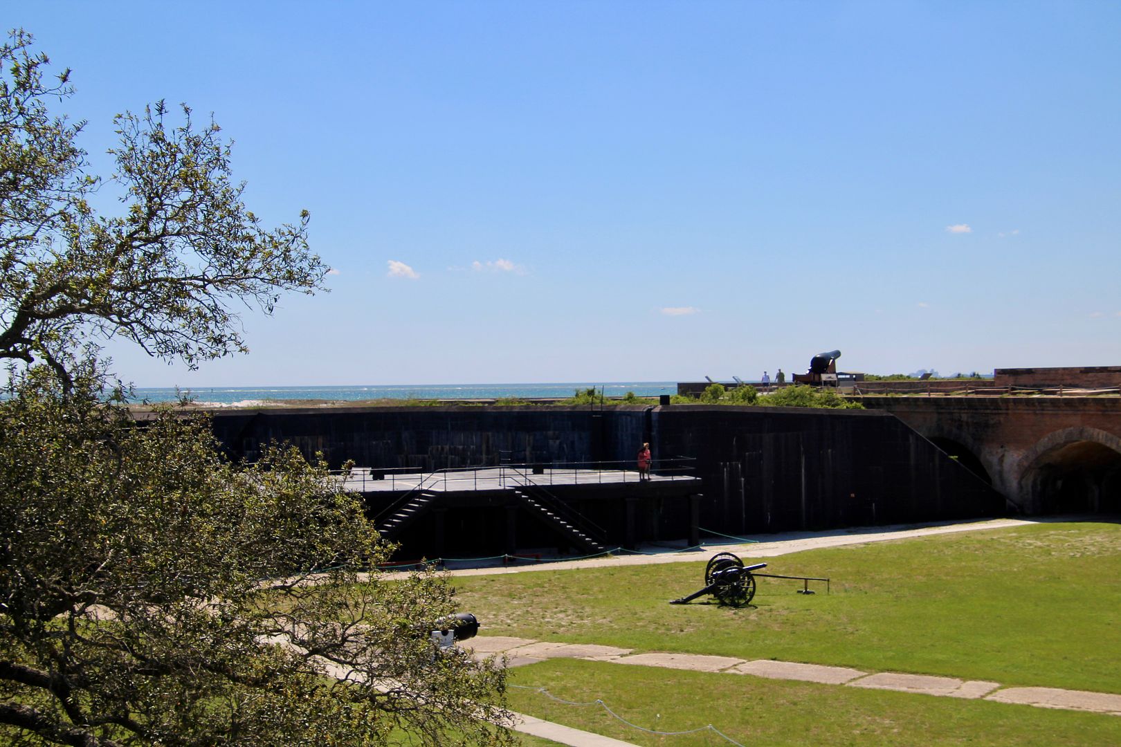
We climbed to the 2nd tier of the fort where we could the Gulf in the distance. Across the parade ground are more casements.
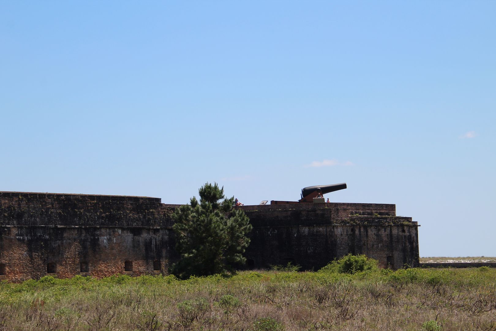
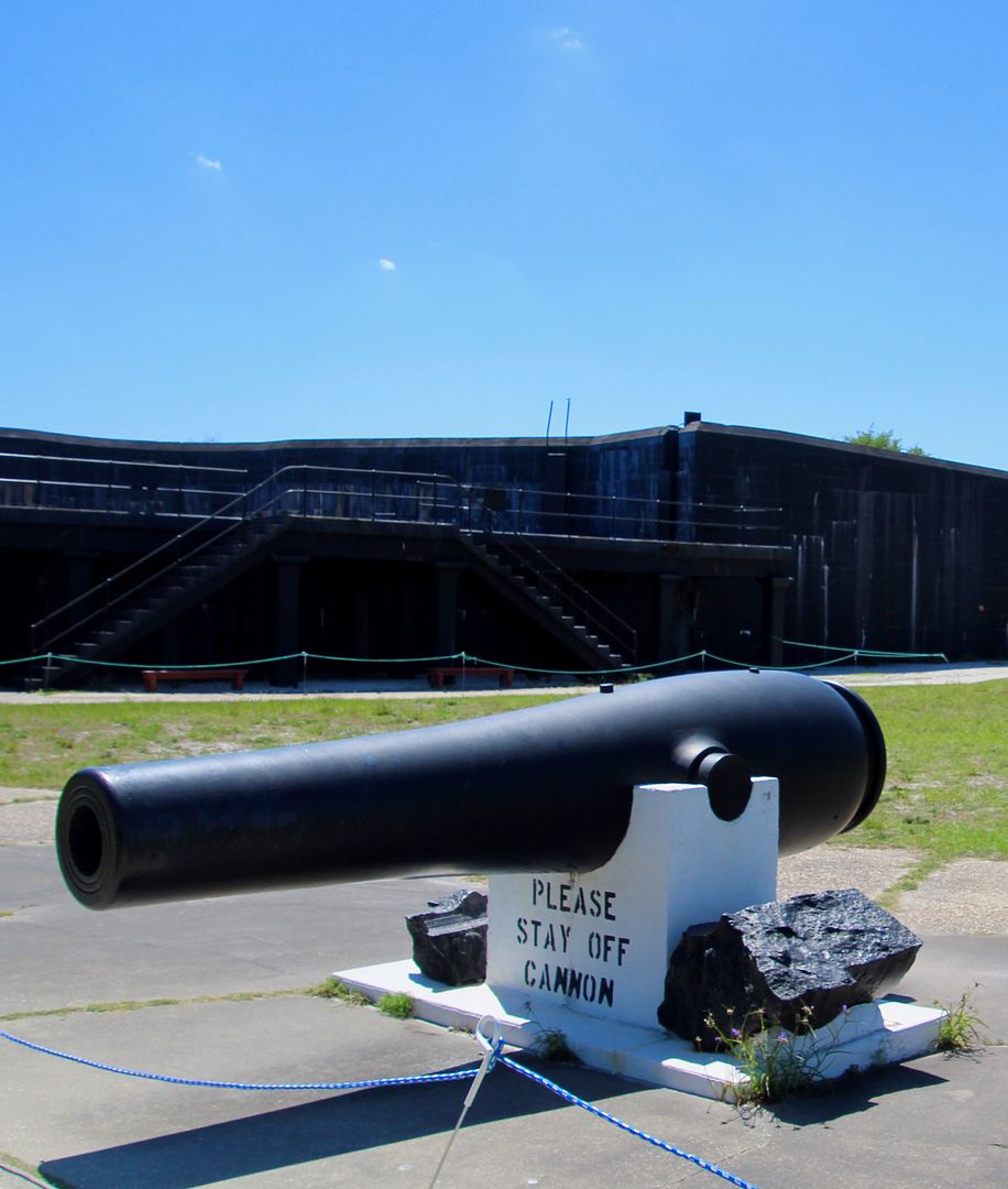
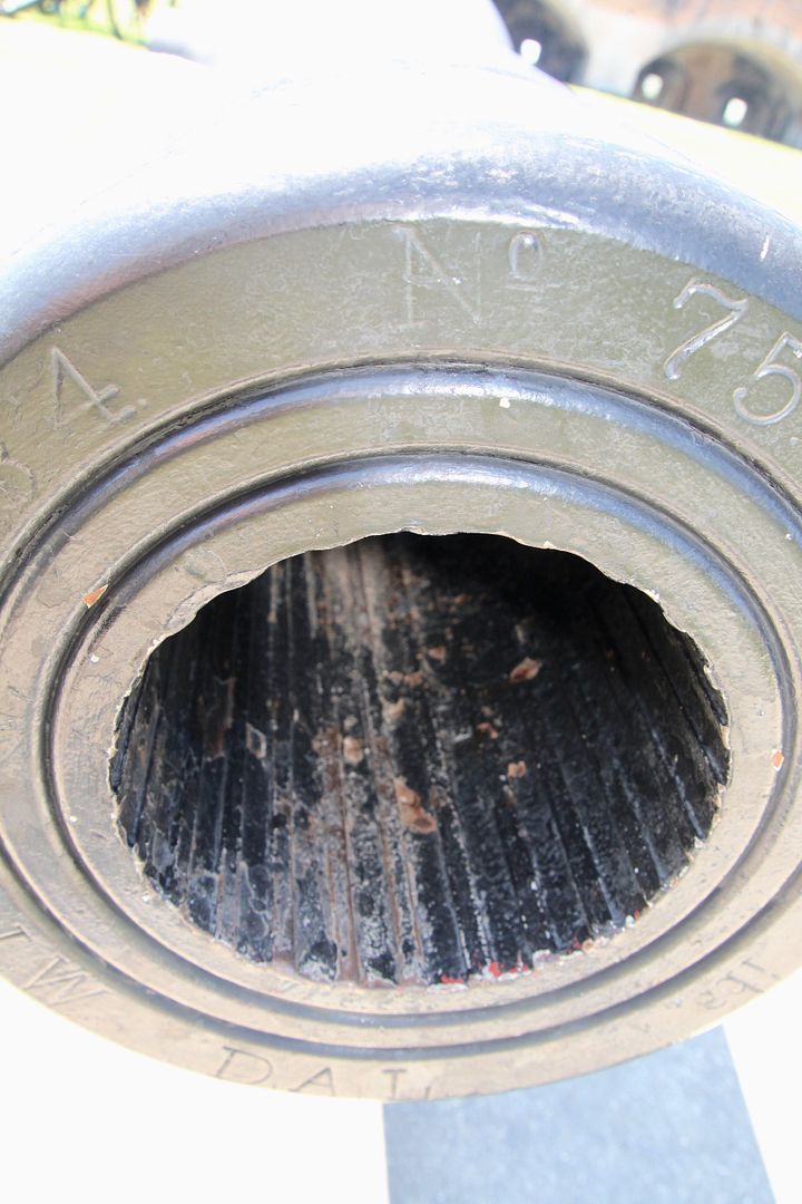
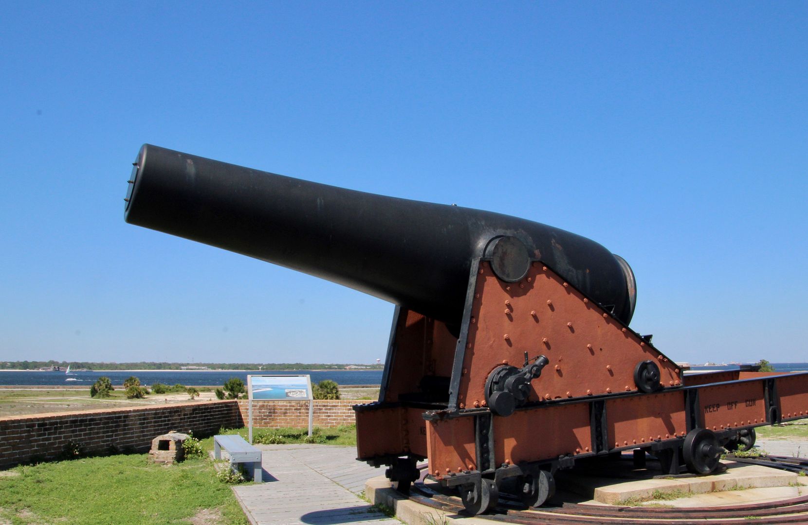
This Rodman cannon was cast in 1861 as a 10” smoothbore. In 1884 it was upgraded to an 8” rifled cannon to improve range and accuracy.
The counterscarp (outer wall of the fort) stood opposite the scarp (main wall). If attackers reached the dry ditch, cannon positioned on the walls would catch them in a crossfire.
This doorway (postern) to Bastion A was used during peacetime and would be used as an opening for cannon during a conflict.
Rain water was collected from the upper level of the fort and stored in cisterns (shown below) for drinking.
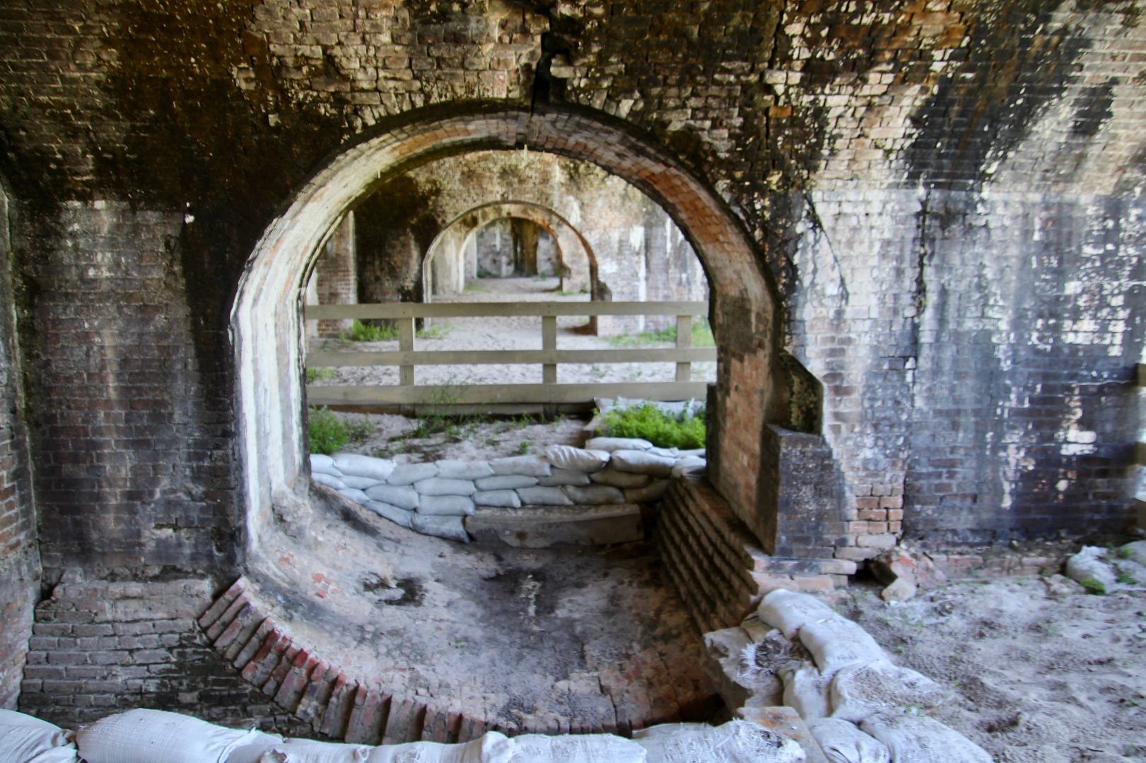
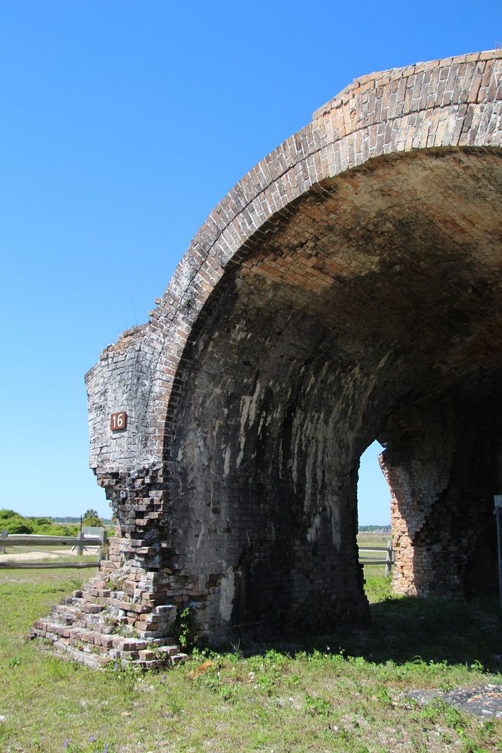
Inside casements near the Tower Bastion, is a reverse arch. Engineers used arches to support the weight of the fort on the sand foundation. Overhead arches distribute weight to the piers; and, reverse arches spread weight of the entire structure to minimize settling.
A 15” Rodman sits atop Tower Bastion with a barrel that weights 50,000 pounds. Wow! It had a maximum effective range of 3 miles with an explosive shell weighing 300 pounds. The cannon could be turned on the circular iron tracks.
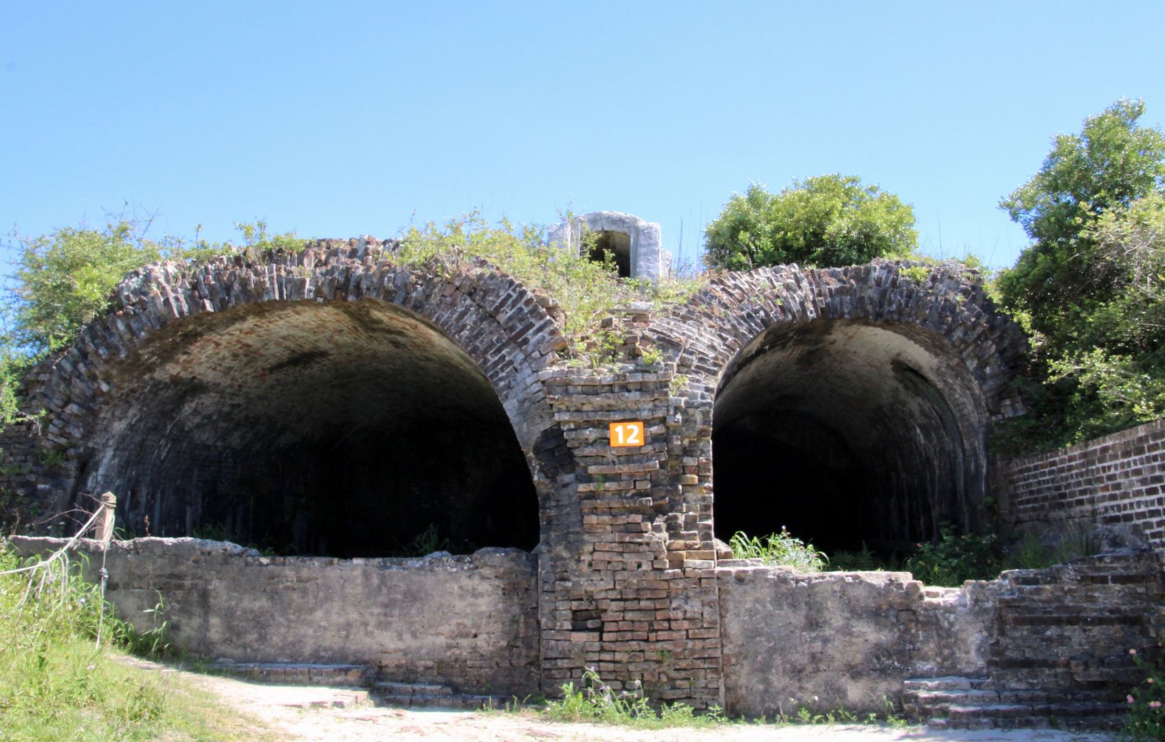
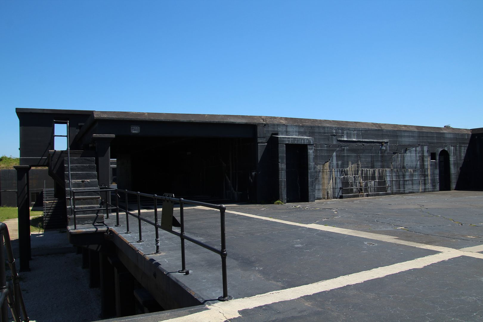
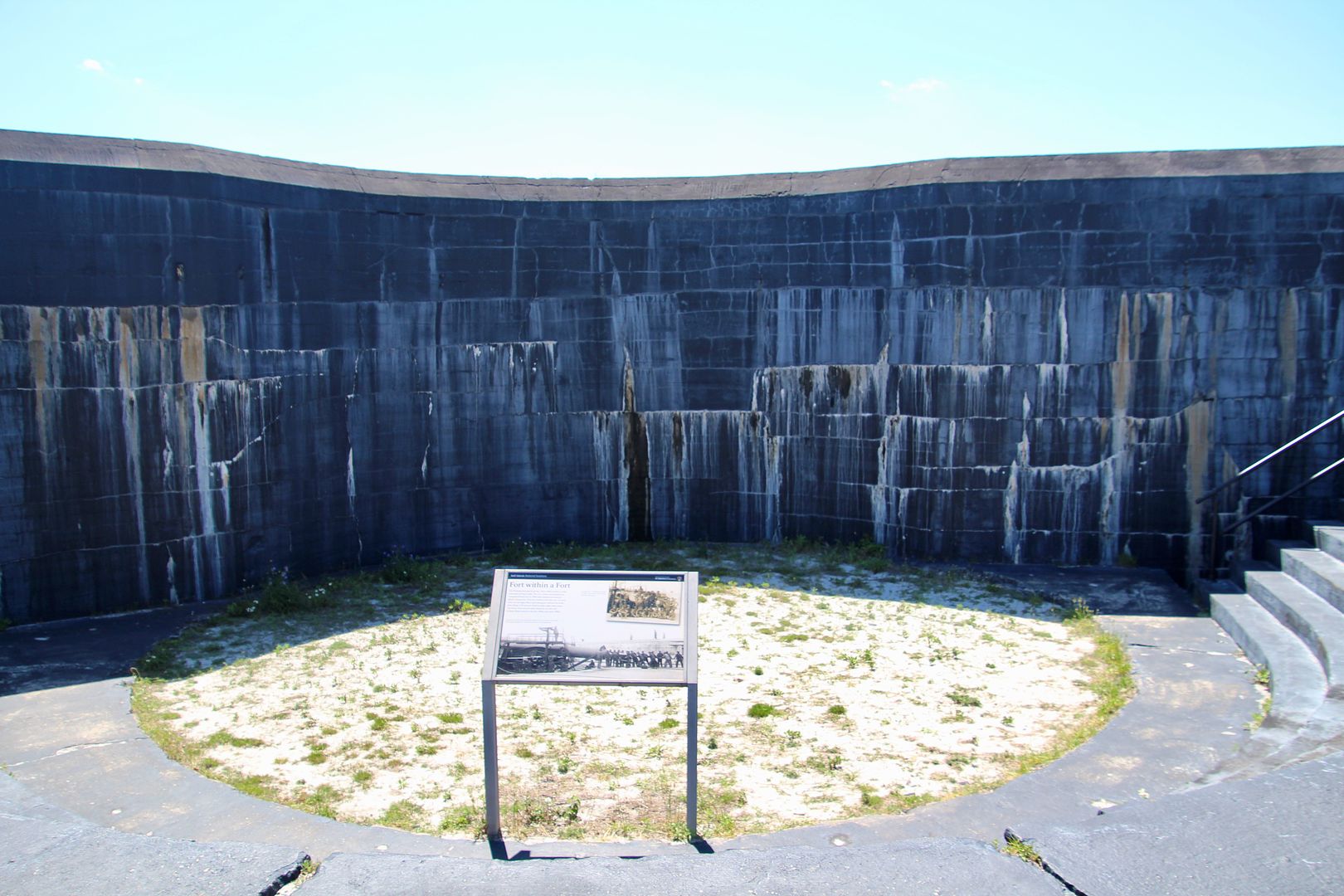
The reinforced concrete battery (black portion of the fort) was built to defend against new technologies and was an essential part of the fort until after WWII (1947). Named Pensacola Battery it was completed in 1899.
It featured two “disappearing carriages” equipped with 12” guns that were lowered for reloading. These rifled cannons shot 1,070-pound shells up to 8 miles.
A fire broke out near Bastion D resulting in an accidental explosion of 8,000 pounds of gunpowder in 1899, destroying the structure (that was never rebuilt).
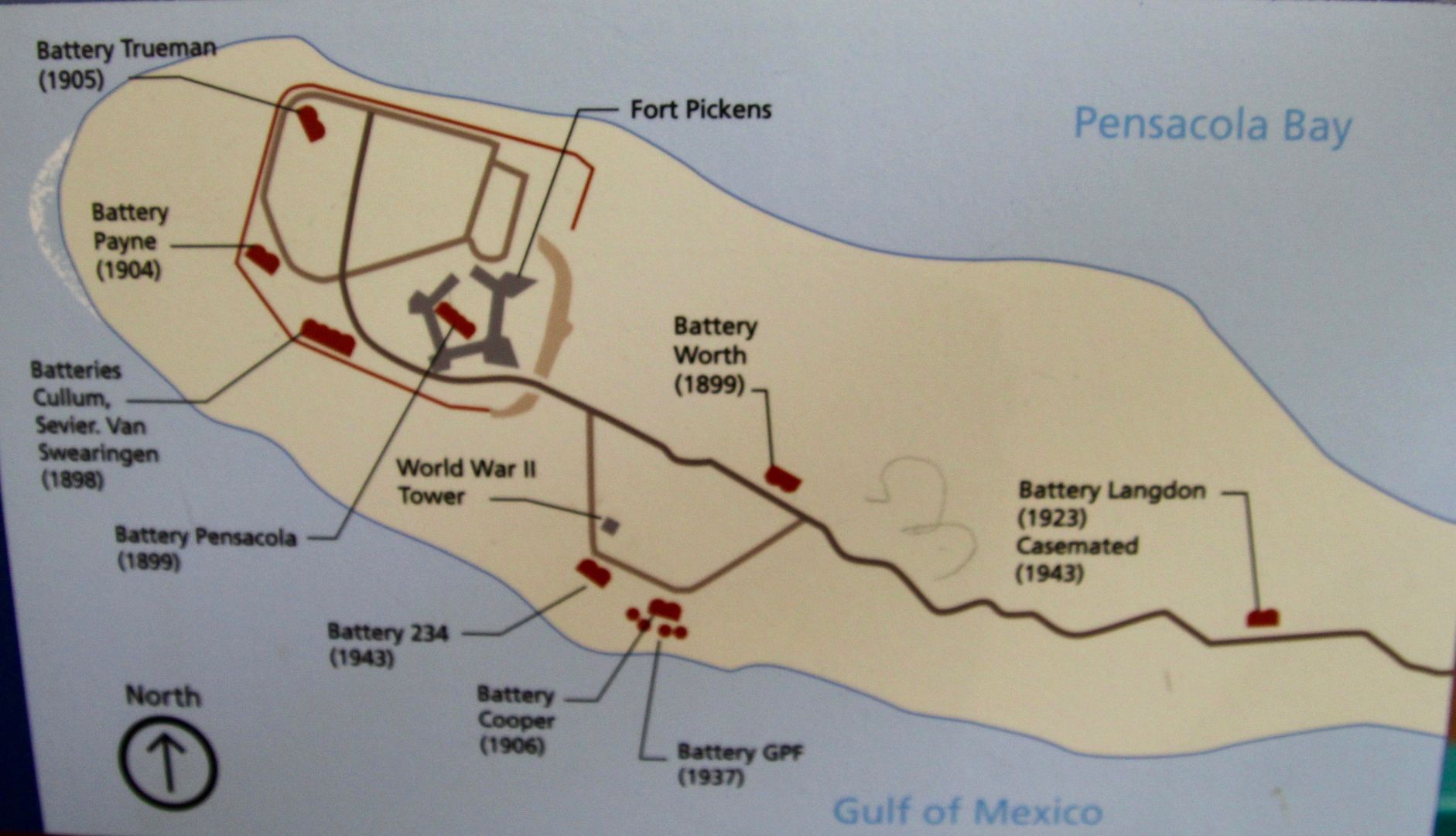
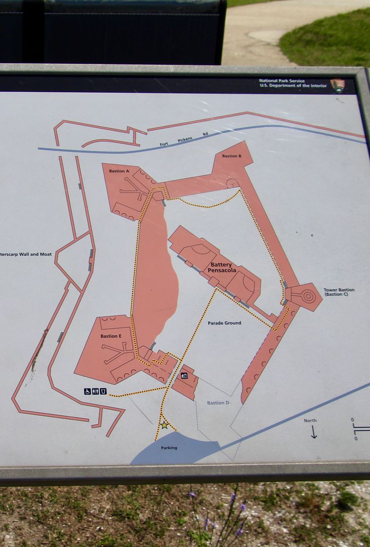
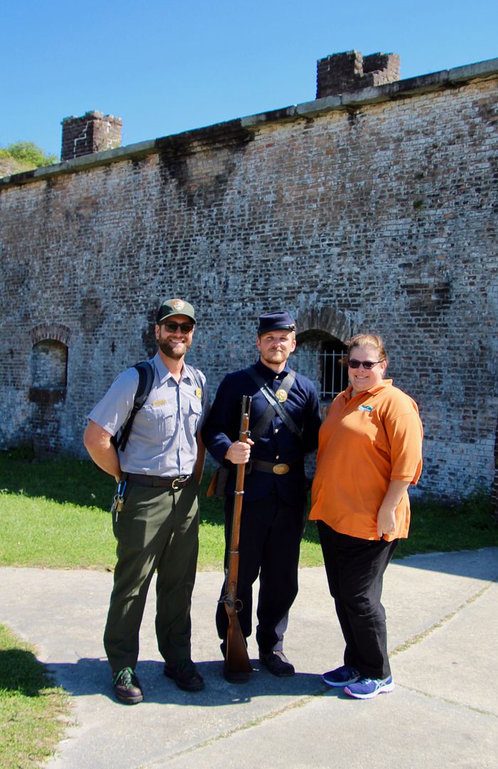
As we were checking out a map of the area, we met these three who all work at the National Seashore: a park ranger, a “Civil War soldier,” and Visitor Center staff. We are always appreciative of the work these folks do in the National Park System.
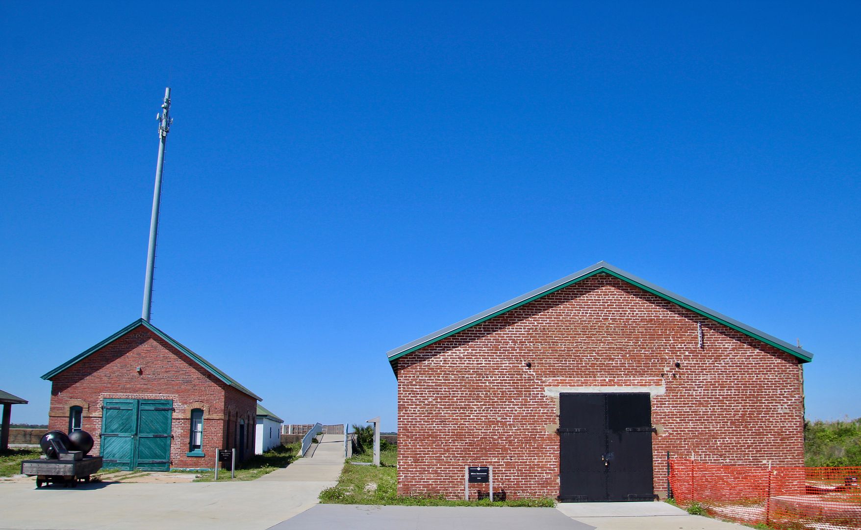
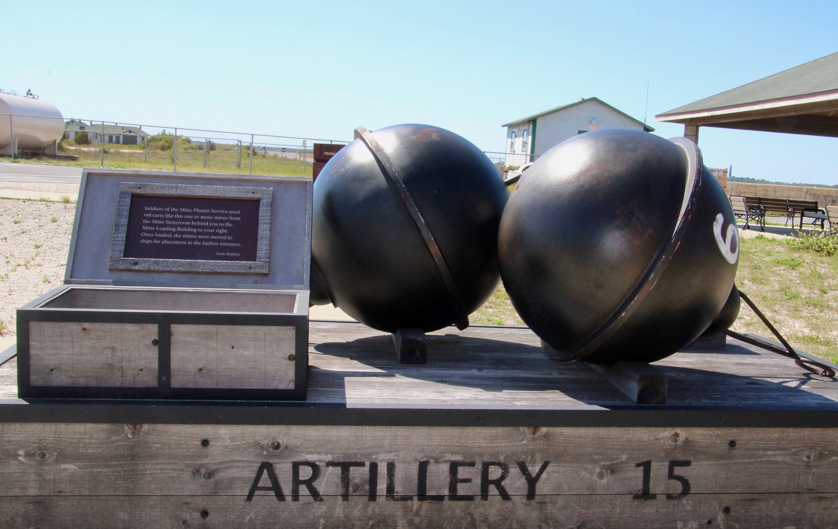
Walking back to the parking area, we came to the Mine Storeroom (left) and Mine Loading Building (built in 1900). The mines were loaded onto ships to be placed at the harbor entrance.
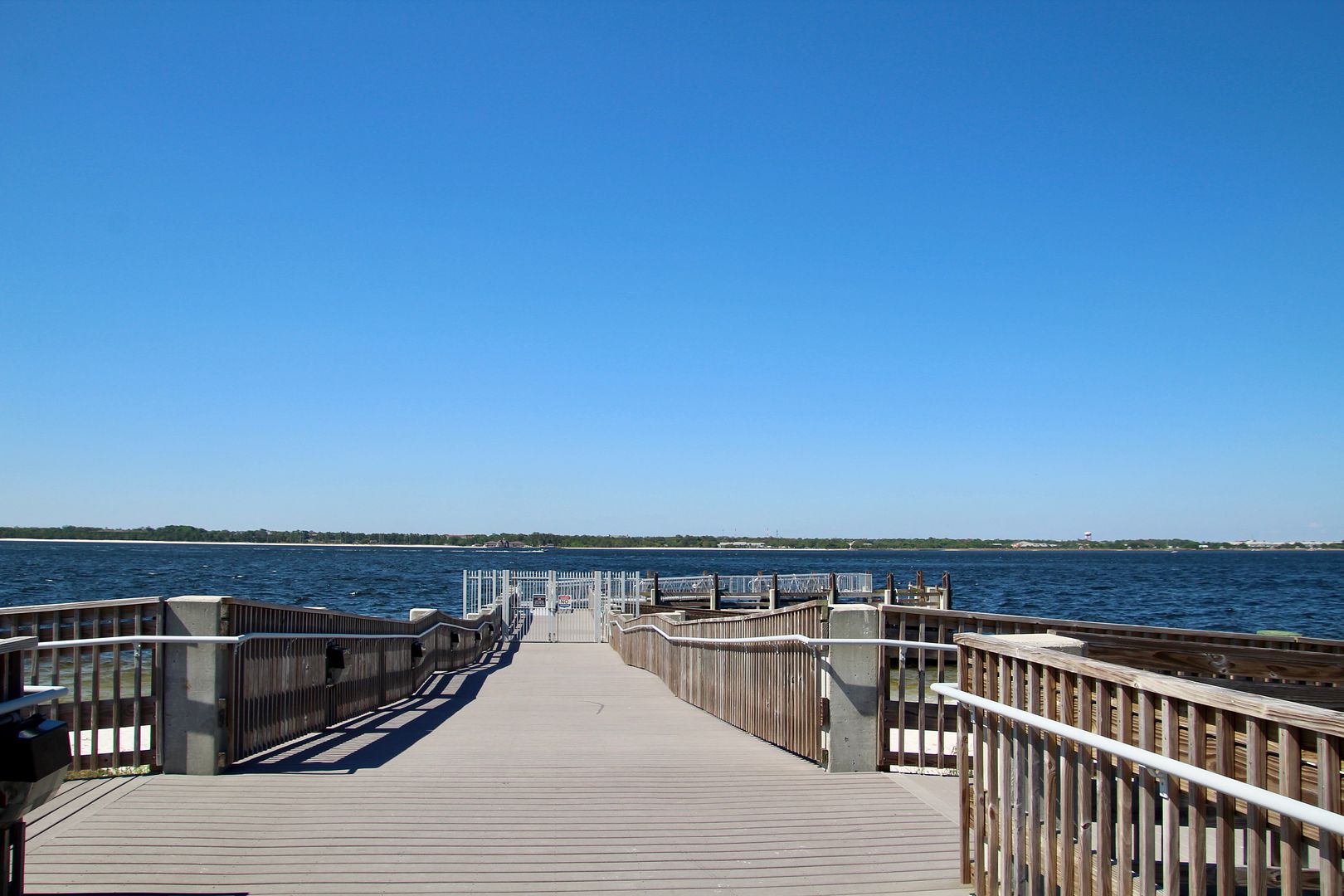
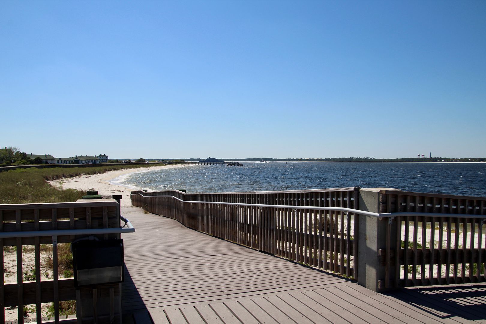
Today there is a pier and docks next to the buildings.
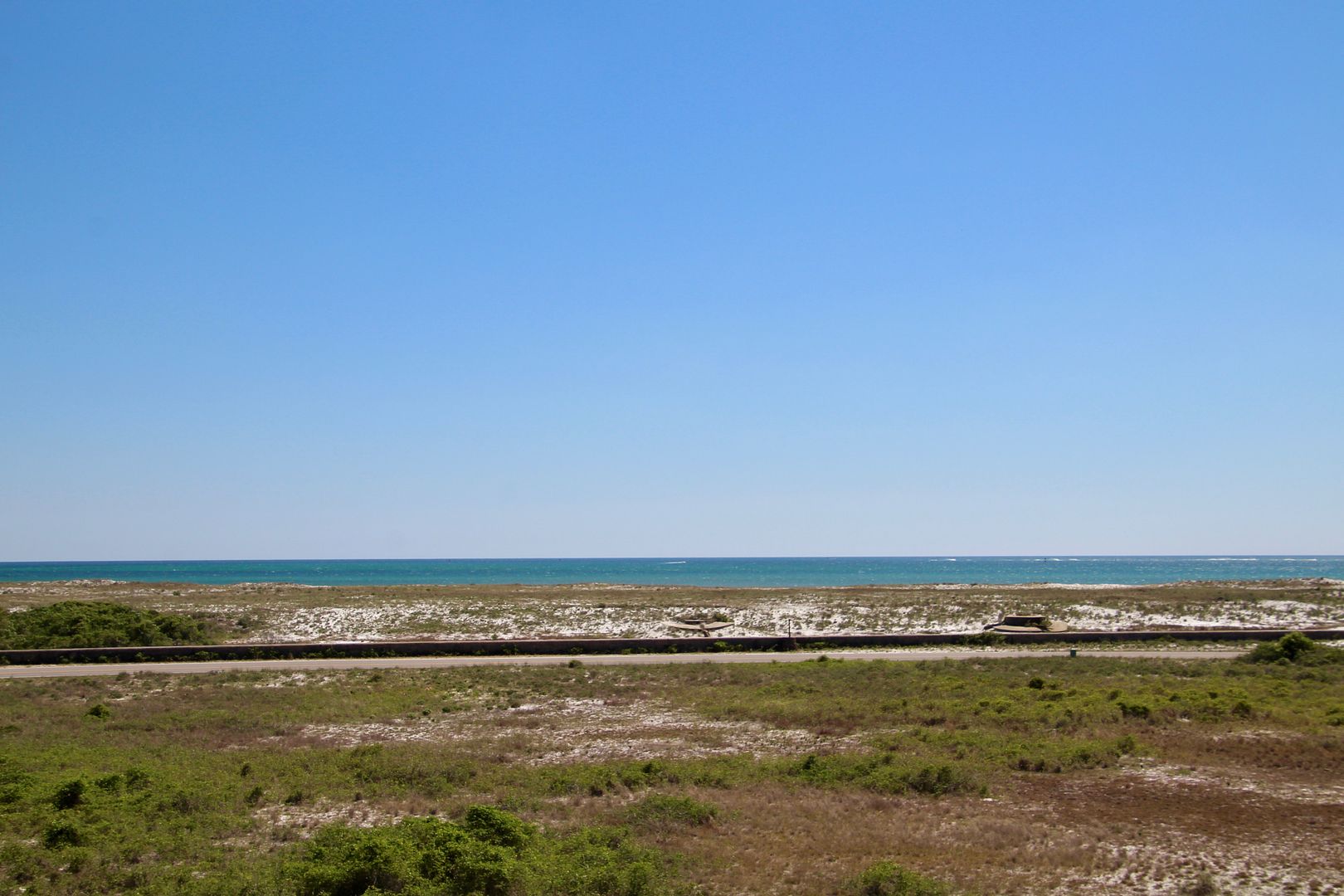
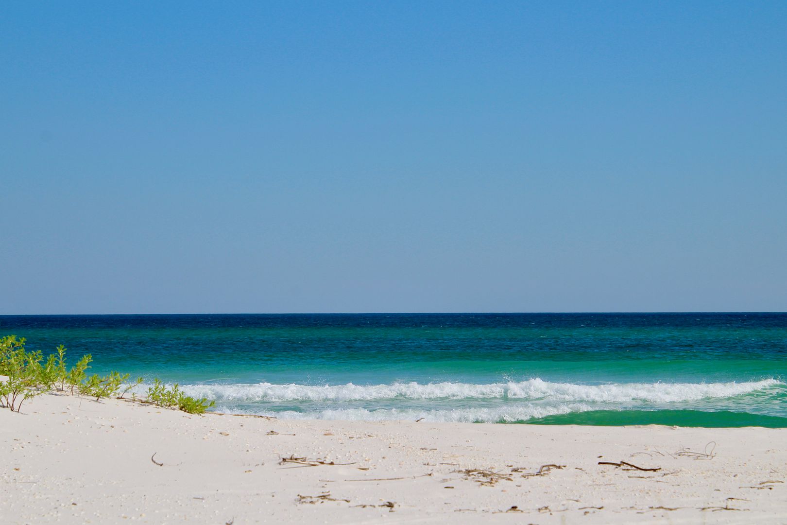
As we were leaving the National Seashore, we had to stop for one more photo of the beautiful blue waters of the Gulf of Mexico.
What an interesting and fun day! And the area (except for beaches) are dog friendly…bonus. The National Seashores are as fabulous as the National Parks. Visit one whenever you have the opportunity.
Admission to the Gulf Islands National Seashore is $20/vehicle for 7 consecutive days. Of course, our National Parks Senior Pass get us in for free (best bargain in the country!). For additional information about the park, go to www.nps.gov/guis.
Admission to the Gulf Islands National Seashore is $20/vehicle for 7 consecutive days. Of course, our National Parks Senior Pass get us in for free (best bargain in the country!). For additional information about the park, go to www.nps.gov/guis.
No comments:
Post a Comment