The Visitor Center has impressive exhibits about the cultural history of the area.
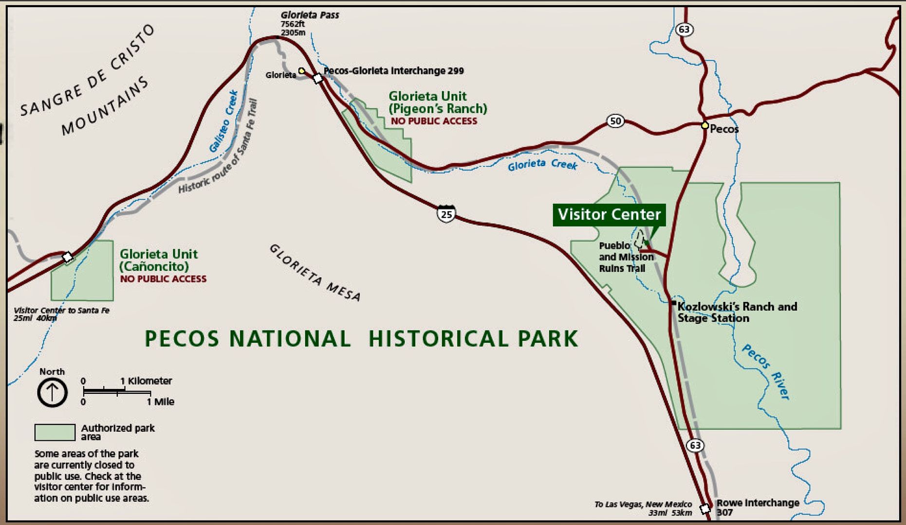
There are three areas to explore here: the museum at the visitor center, the self-guided trail through Pecos Pueblo and Mission Church; and, the self-guided, 2.25 mile Civil War, Battle of Glorieta Pass, hiking trail.
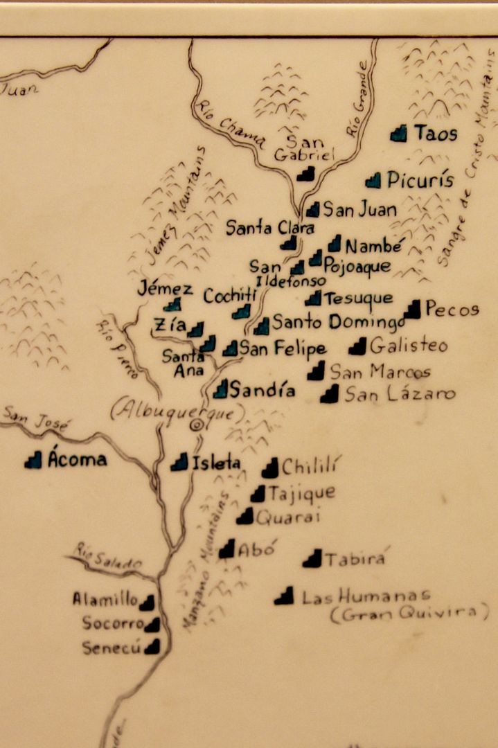
First, we checked out the visitor center. Extensive exhibits of the pottery created by the ancestral Puebloans can be seen in the visitor center. About 30 pueblos were in the region in the 1300s.

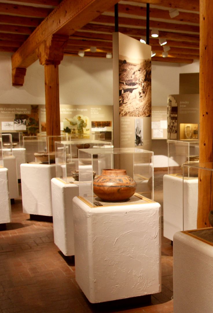
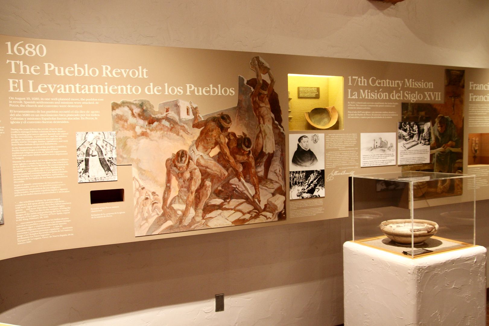
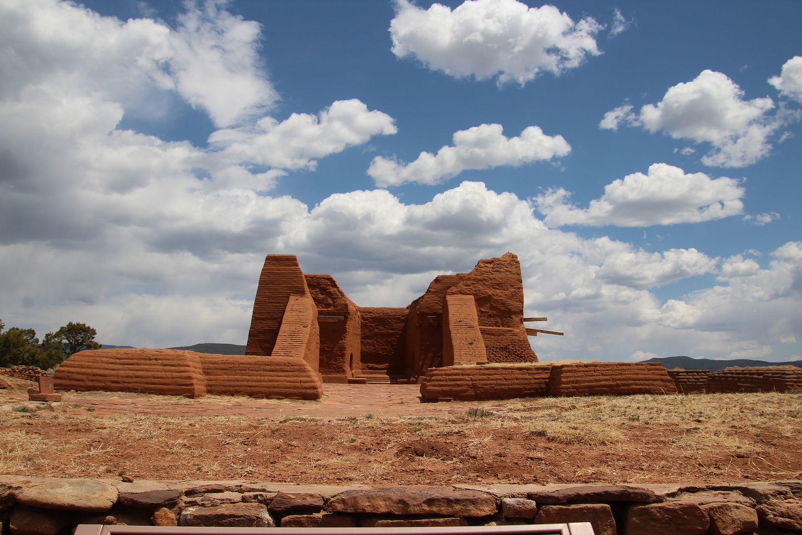
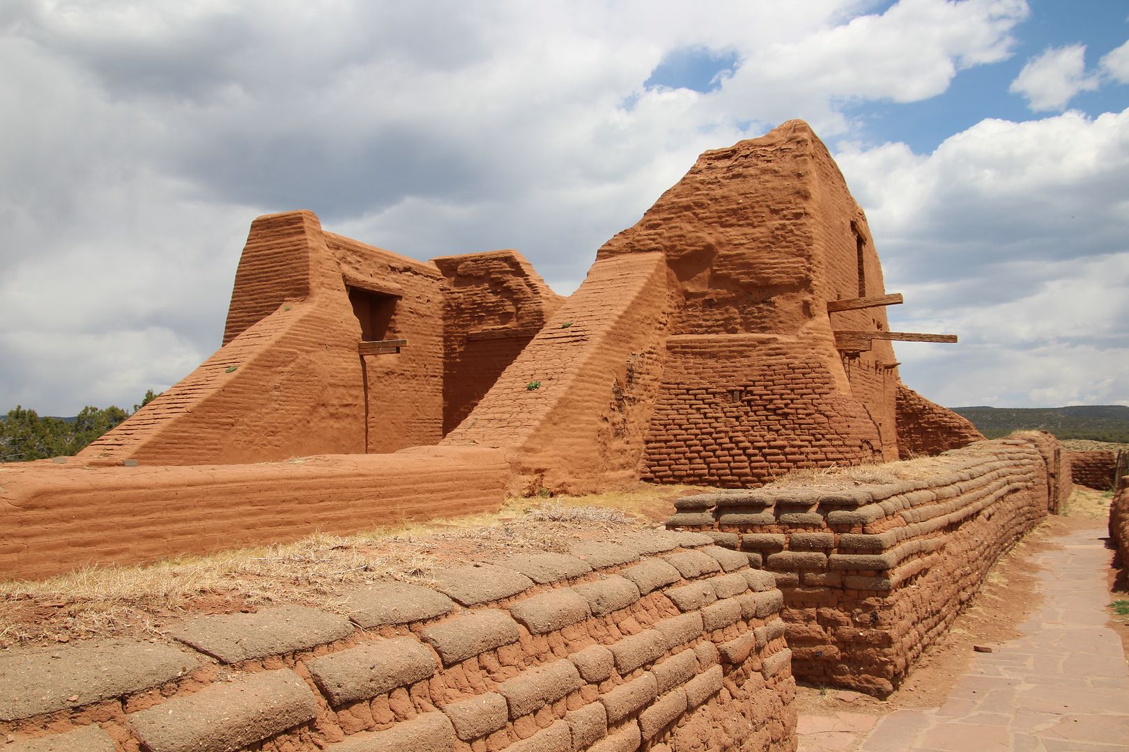
The exhibits cover the history of the area including the arrival of the Franciscan friars in 1610 and their work to convert Native Americans to Catholicism. Multiple churches were built next to the pueblo; the first in 1625 and the second in 1717. The 1680 Pueblo Revolt drove the Spaniards out of New Mexico for only 12 years.
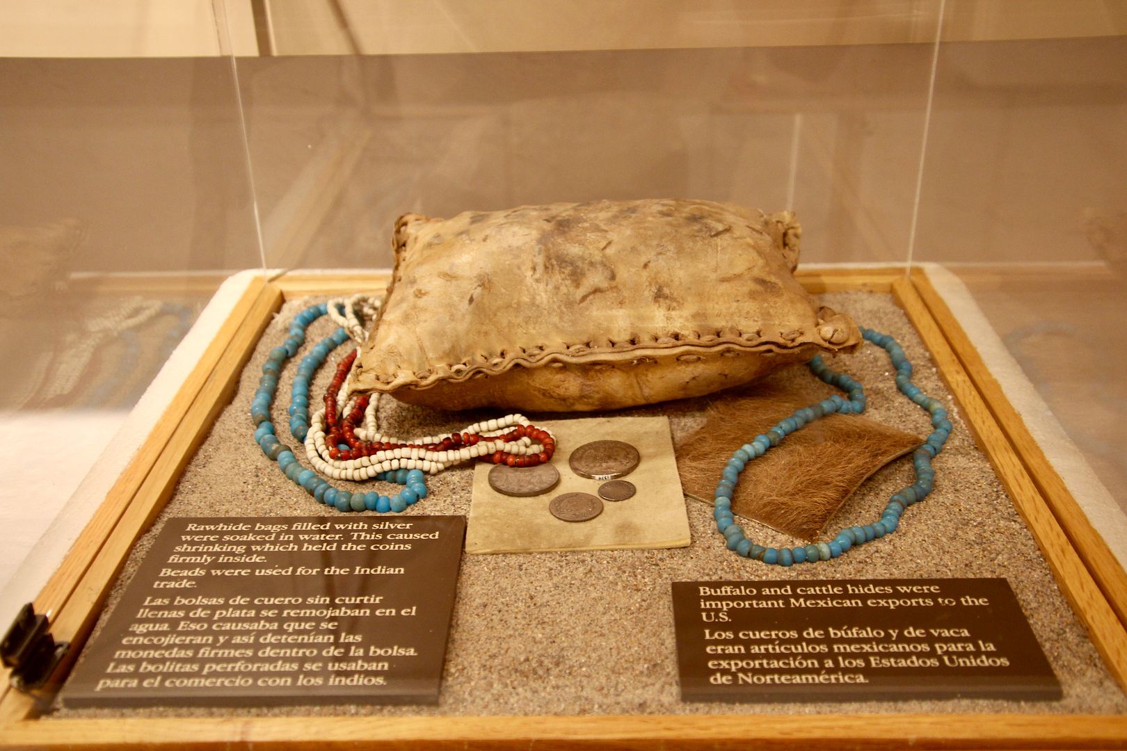
The Santa Fe Trail (1821-1880) was a major commerce and travel route next to the pueblo. The display shown below contains a rawhide bag that was used to transport silver. The bags were soaked with water causing them to shrink; holding the coins tightly inside. Beads, buffalo and cattle hides were used for trade between Mexico and the US.
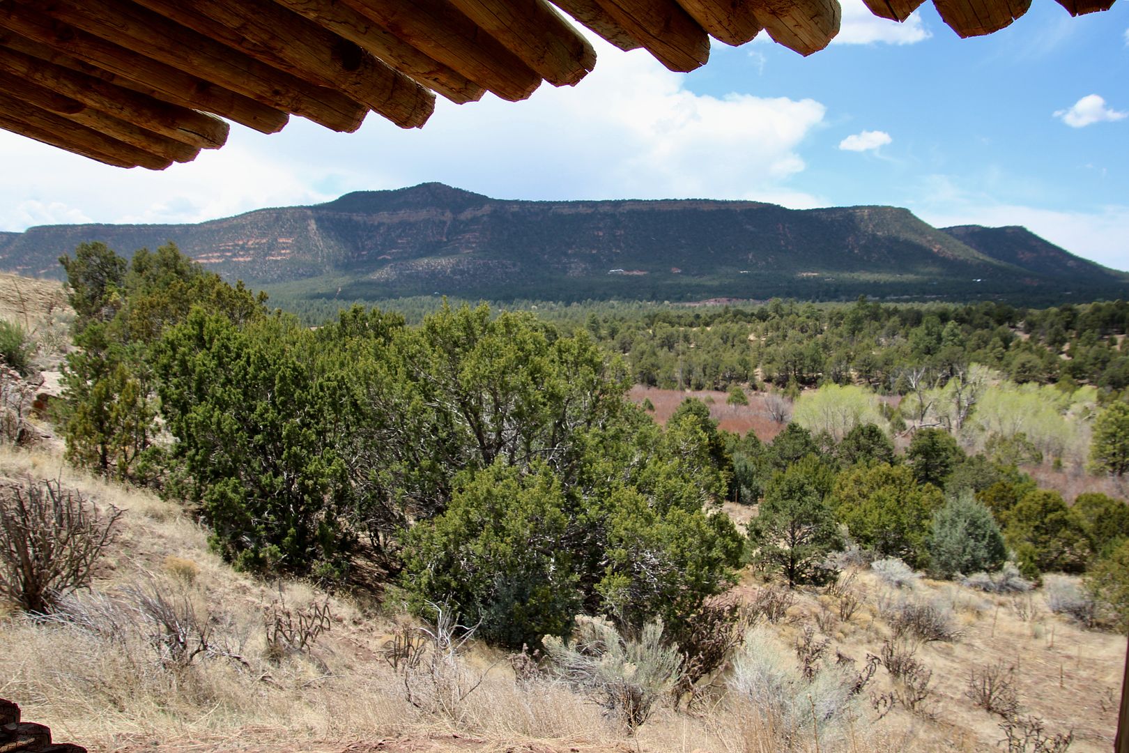
Between 1300 and 1838, the Pecos Pueblo was located on the busy trade route between farming people of the Rio Grande Valley and the Plains Indian hunters.
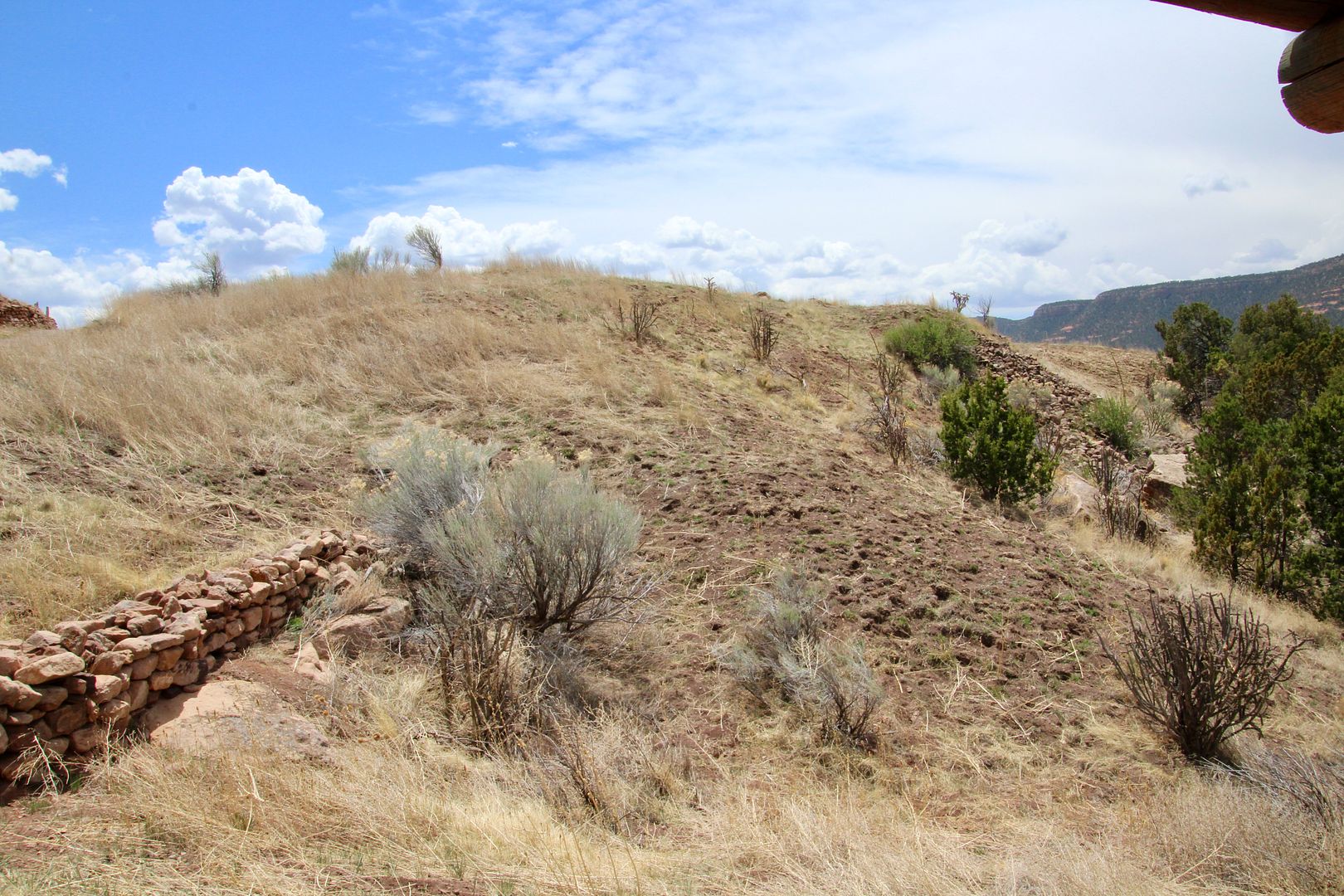
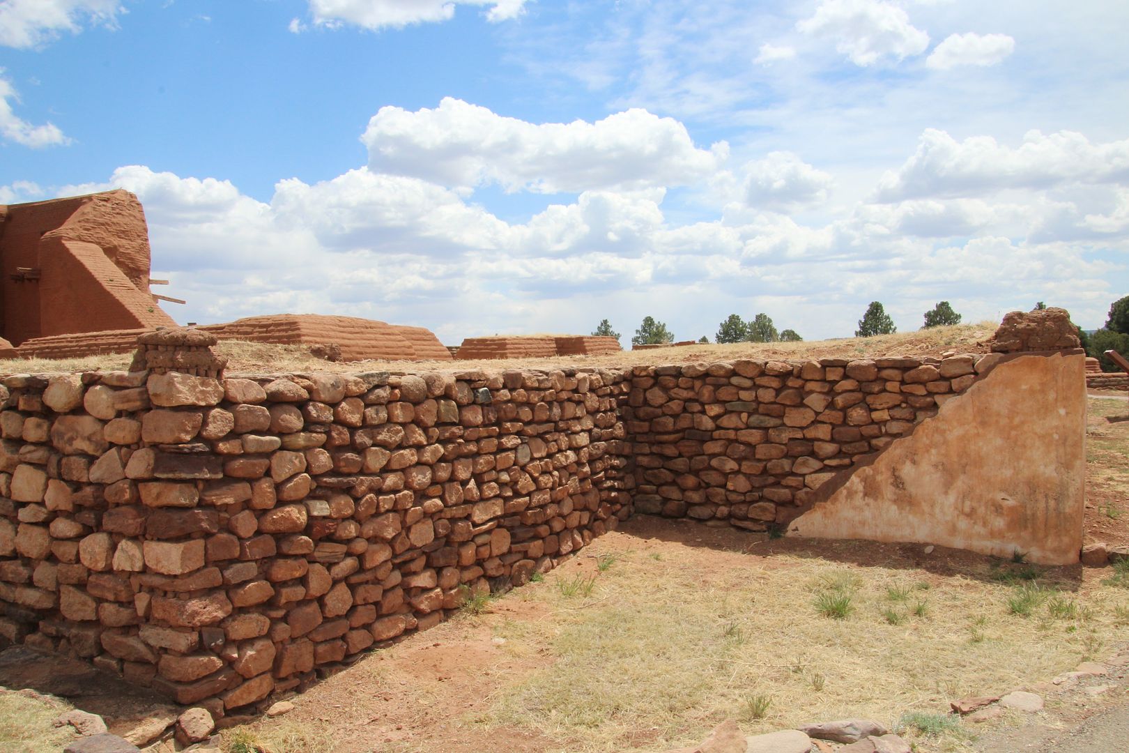
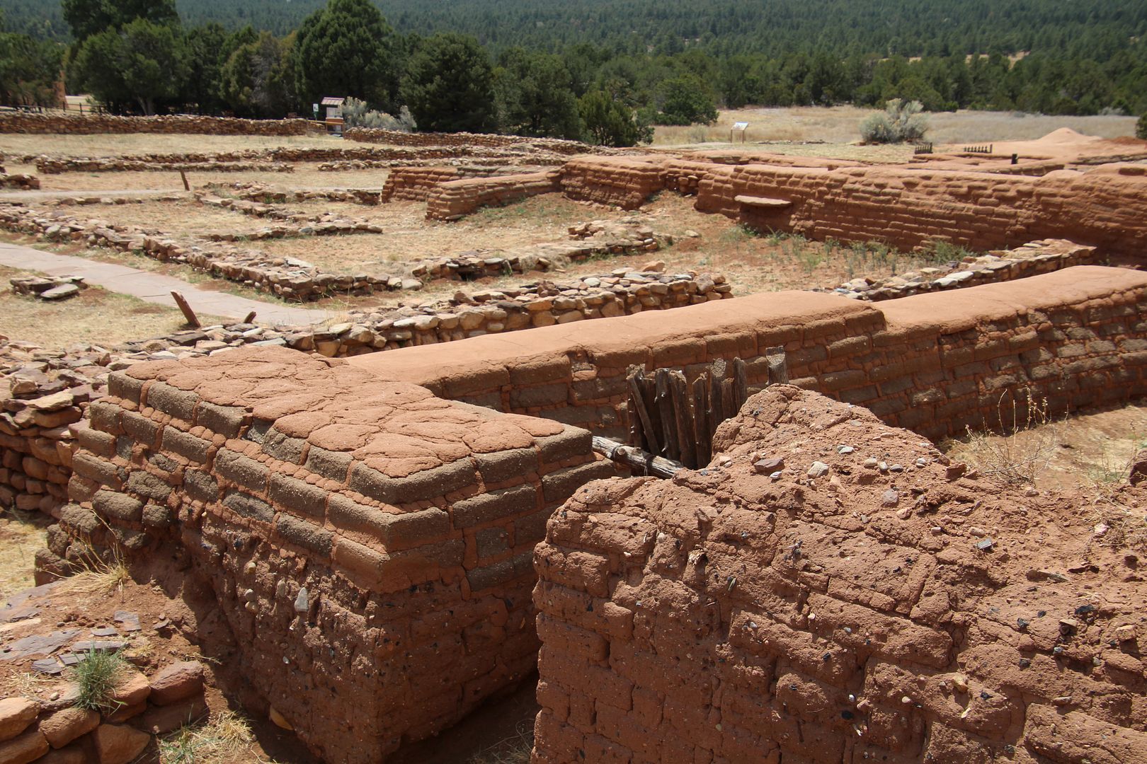
We picked up a trail map at the visitor center and began the 1.25 mile, self-guided trail through the Pecos Pueblos and Mission Church. Also called, Cicuye, the Pecos Pueblo was built on a ridge near an abundant water supply. It was multi-storied and about 2,000 people lived here. A perimeter wall was built around the pueblo.
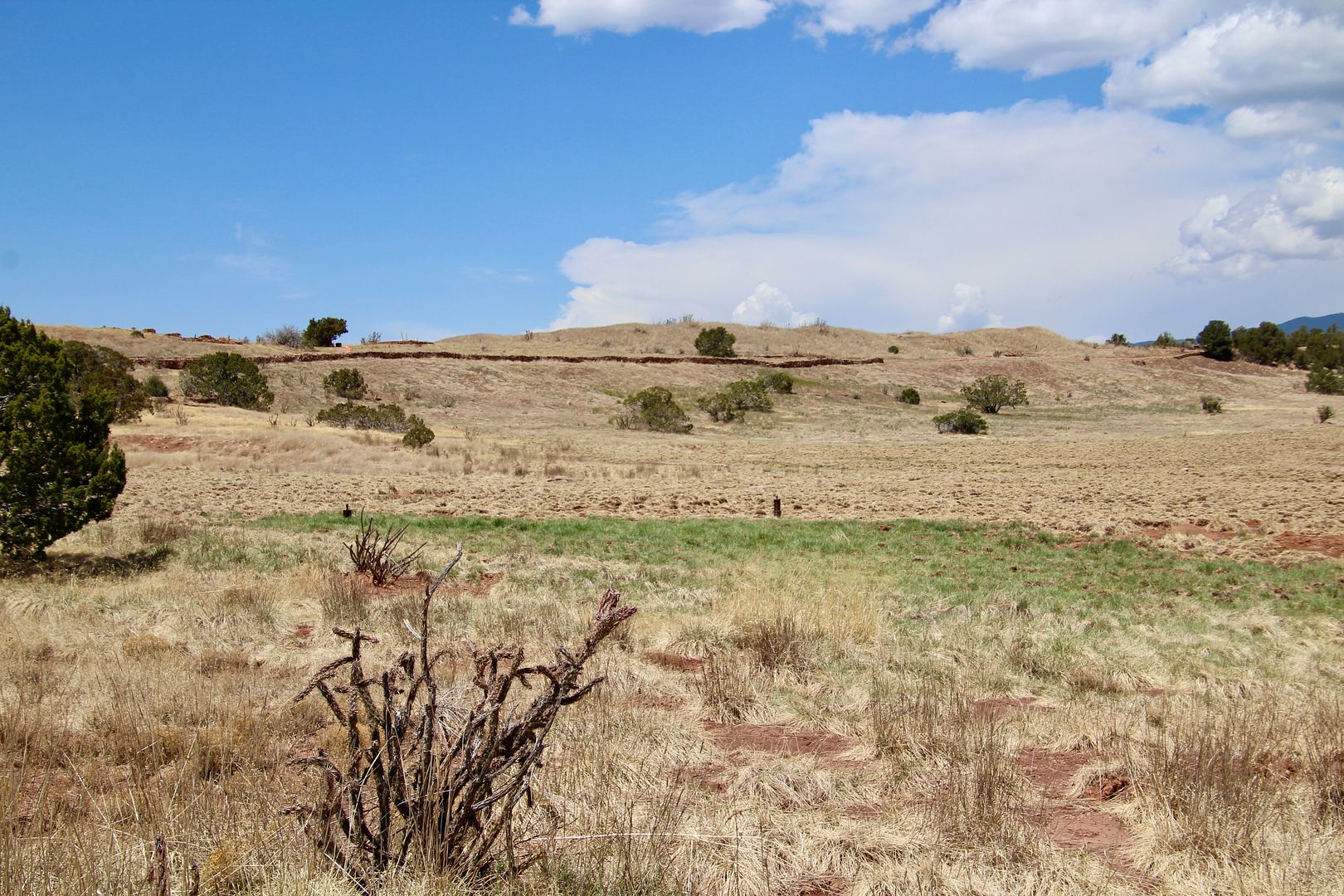
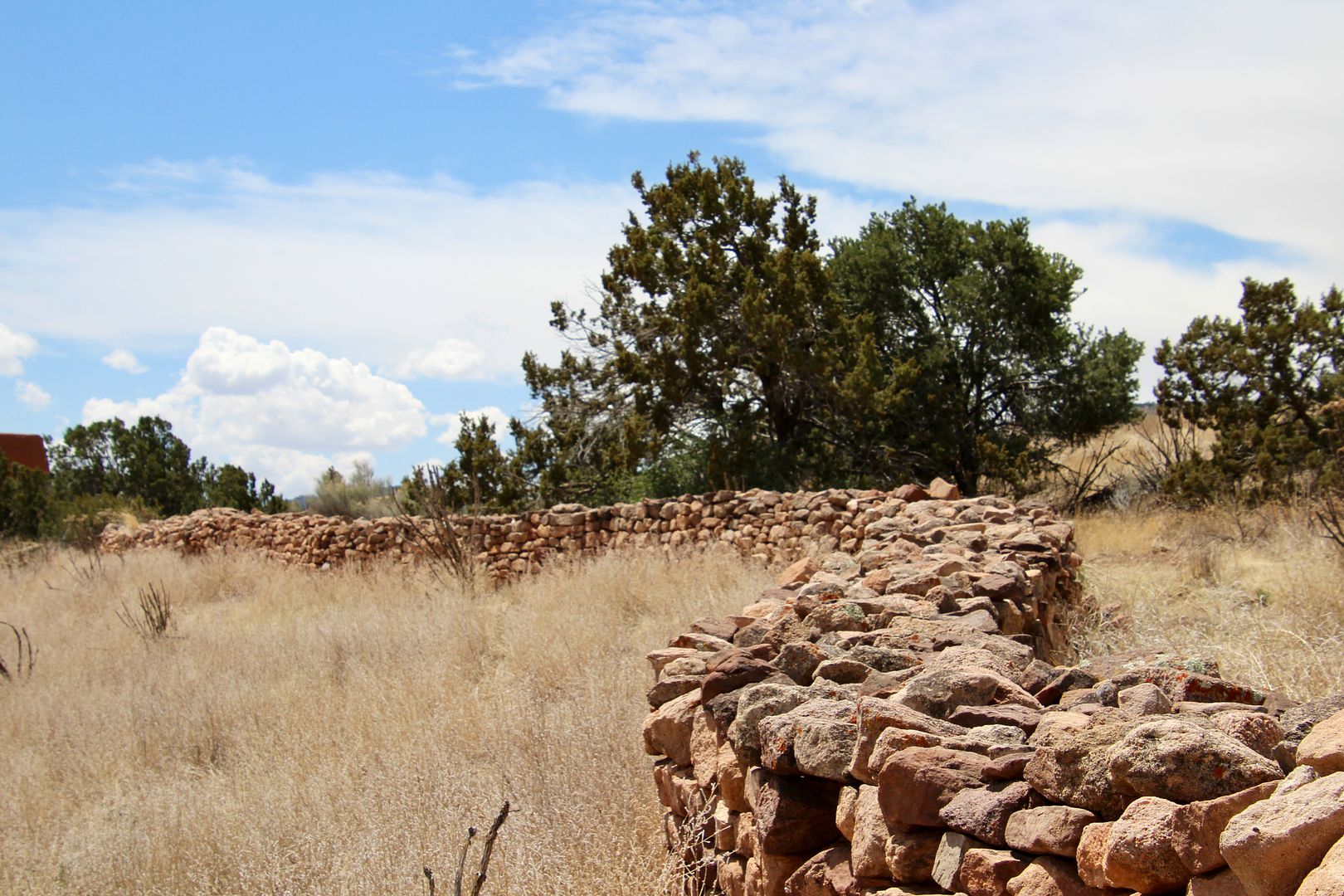
Ruins of the pueblo remain visible today.

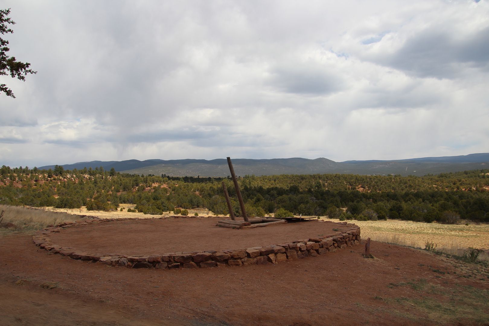
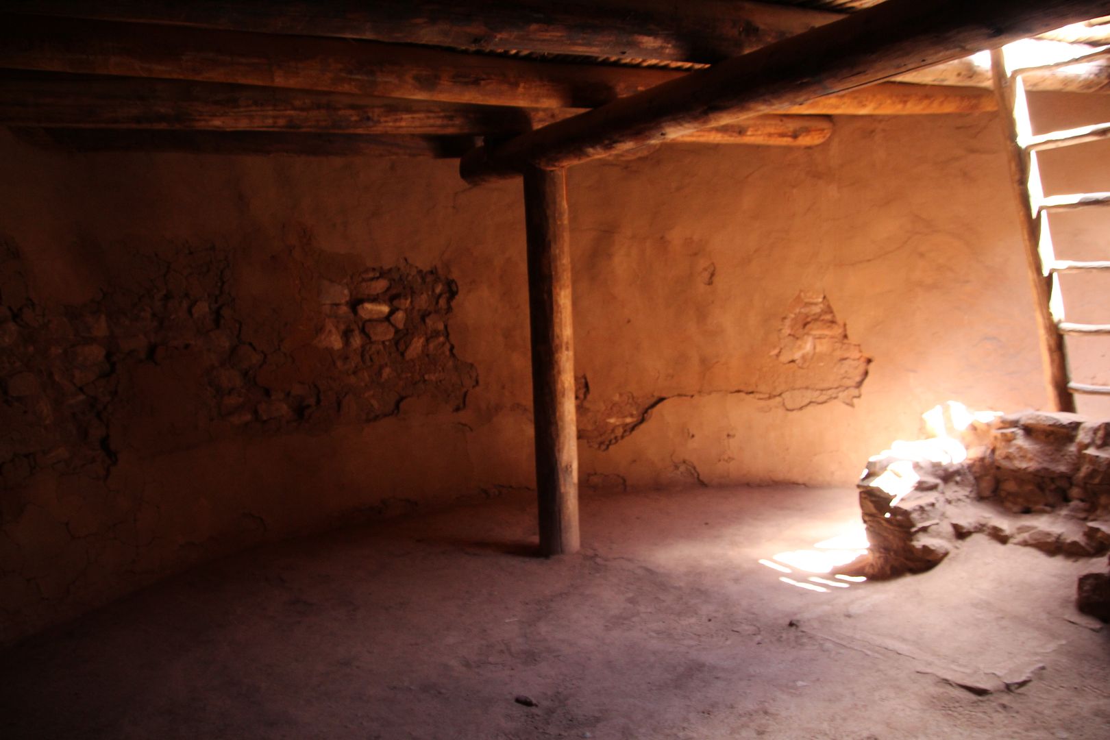
Kivas provided the connection to the spiritual world and many were found here. A restored one provides an up close view. We were able to climb down the ladder to the cool circular room below. The entry through the roof also serves as a chimney.; and, the a ventilator shaft allows fresh air into the room. The fire pit has a short wall behind it to protect the fire from drafts. These are all common features to Kiva construction in the SW.
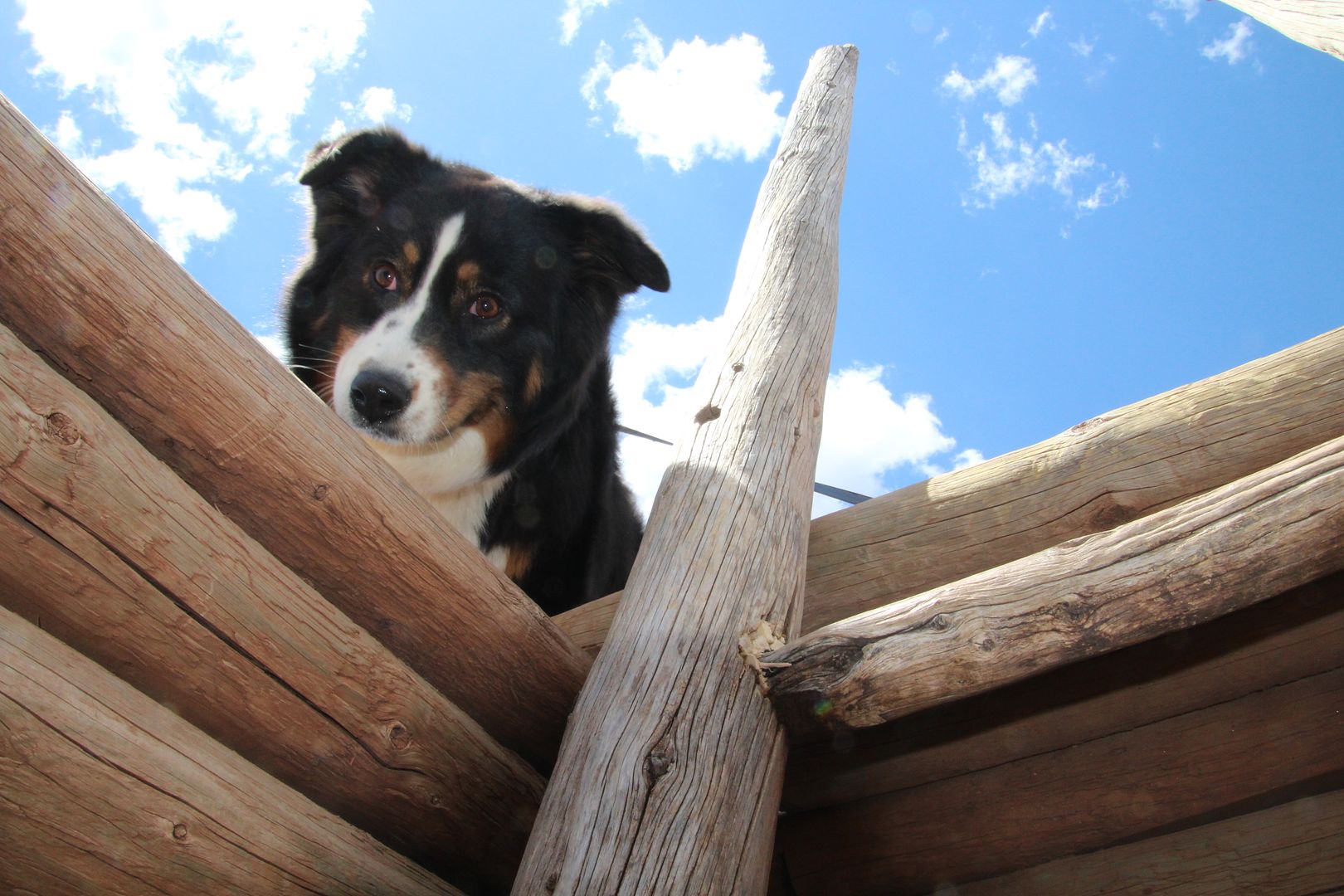
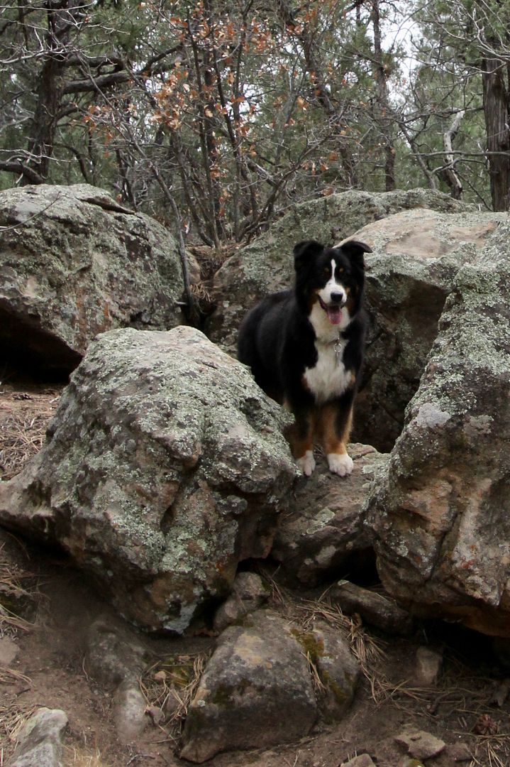
Our sweet doggie, Sadie, was very curious about what I was doing down there and kept peering down into the kiva.
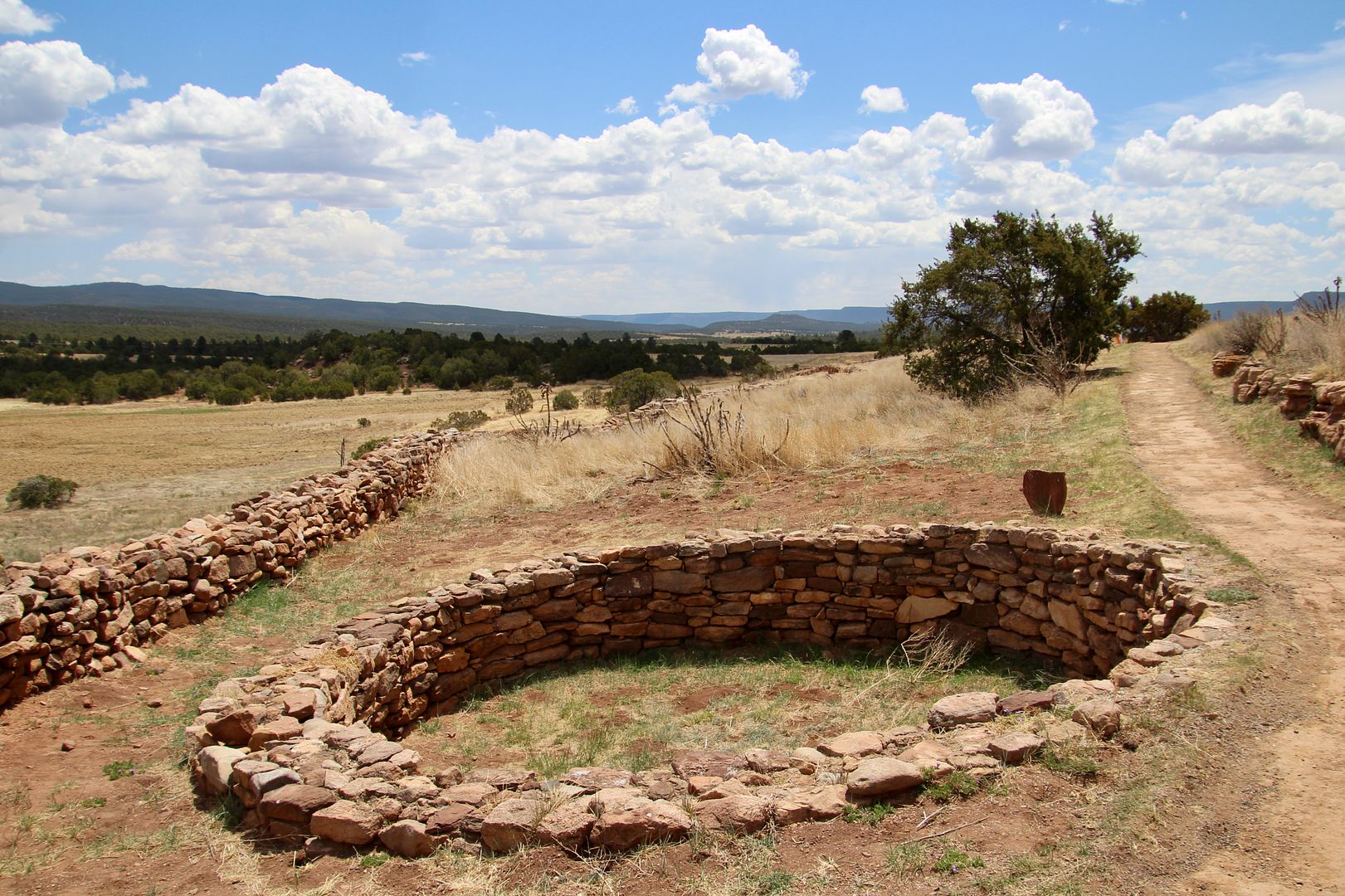
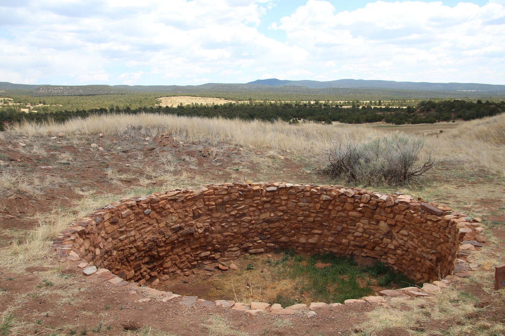
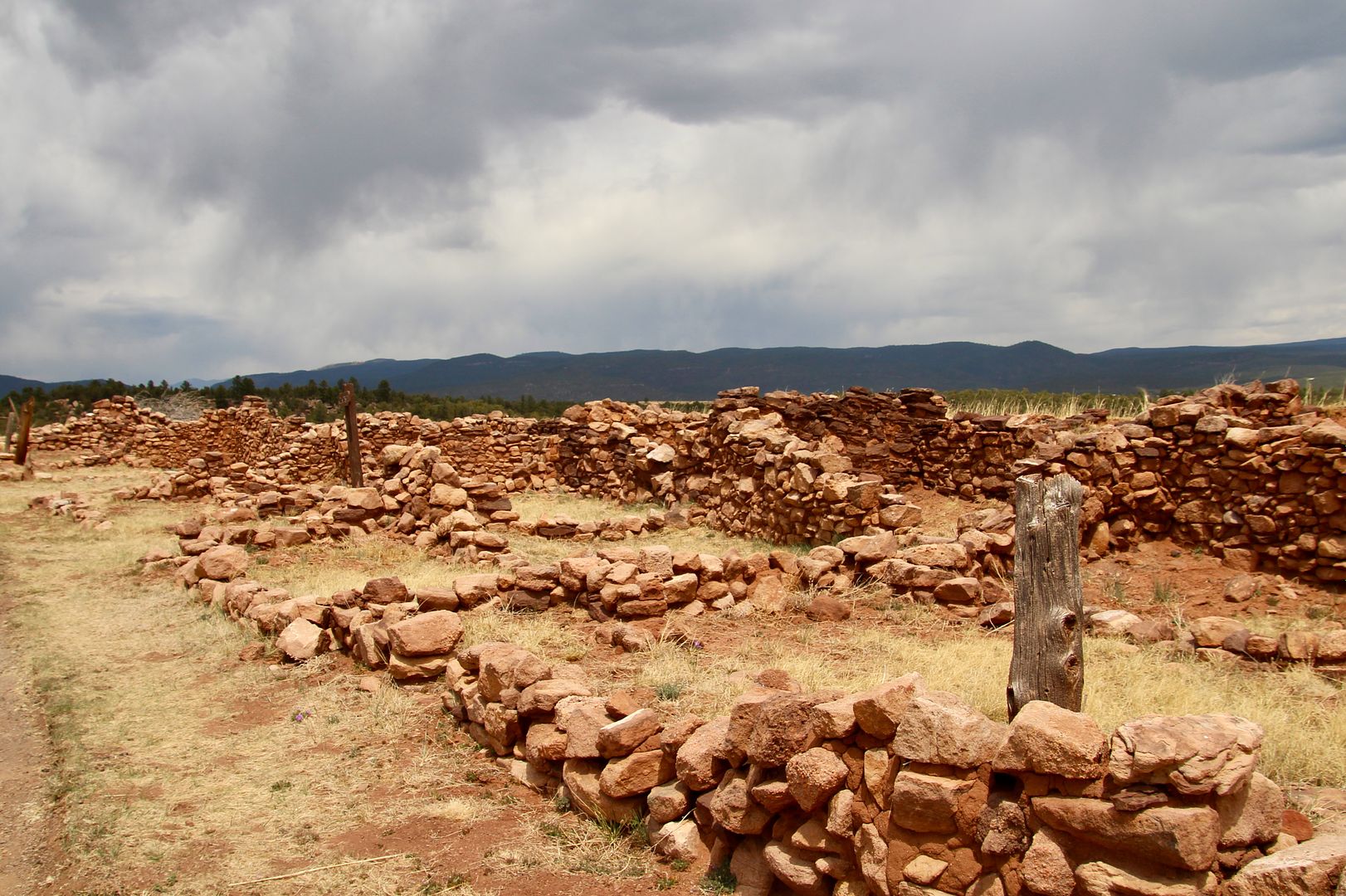
Remains of multiple (roofless) kivas can be seen along the trail.
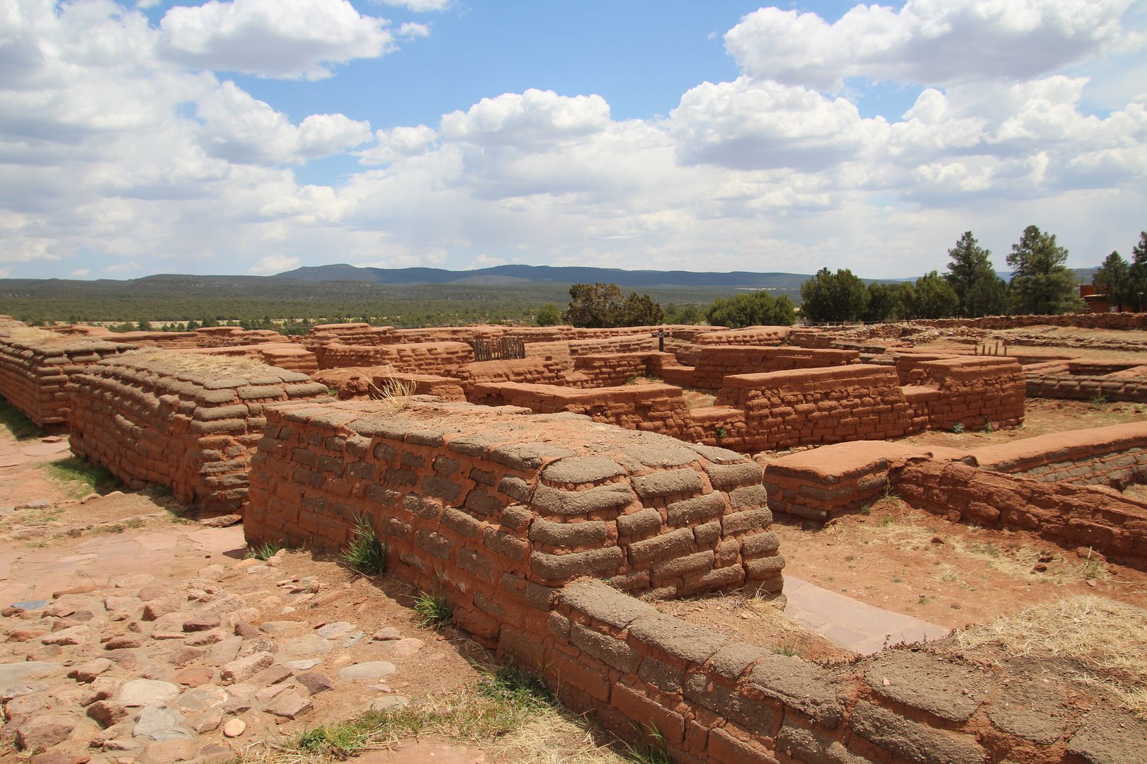
Remains of the Pecos Pueblo are in the mounds. There were 600 rooms and 4-5 stories high. The top fo the mounds are at the 2-story level of the original structures.
Plenty of farmland was available in the Pecos Valley. Two water sources, Glorieta Creek and the Pecos River (one mile east) provided plenty of water. Anyone approaching from the Rio Grande Valley or the Great Plains could be seen from the pueblo.
Ruins of the North Pecos Pueblo can be seen here. Sadie had lots of fun trying to chase the many lizards seen here (but, of course, she is not fast enough to catch any!)

Farmers set aside food for winter in huge storerooms in the pueblo. Pecos Pueblo, with 500 warriors, was a dominant power in the region. In 1610, Franciscan friars arrived to convert Native Americas to Catholicism. They destroyed kivas, smashed statues, and banned traditional Pueblo ceremonies. The first Pecos mission church was completed in 1625 and was an large, impressive monument. It survived for 55 years and foundations are still visible today.
The Pueblo Revolt against the Spanish (1860) resulted in the destruction of the church. But the Spanish returned 12 years later and by 1717 a second (smaller) mission church was built.
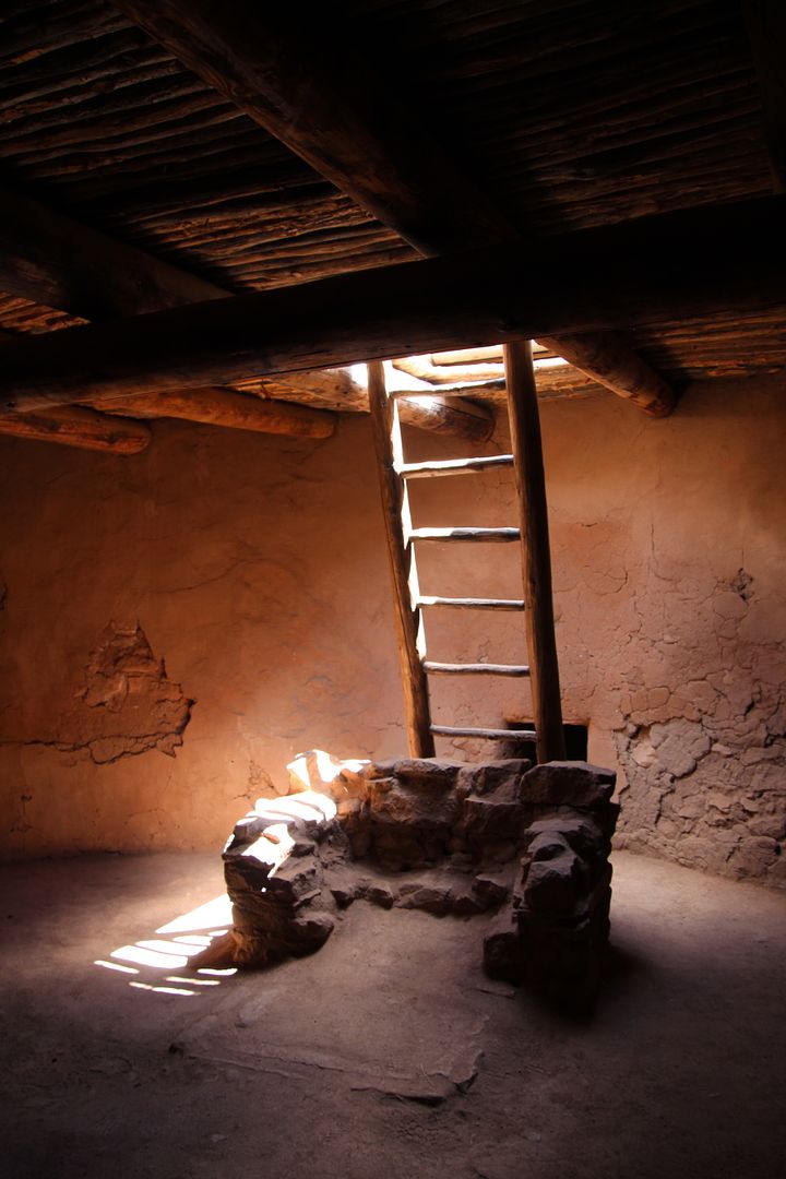
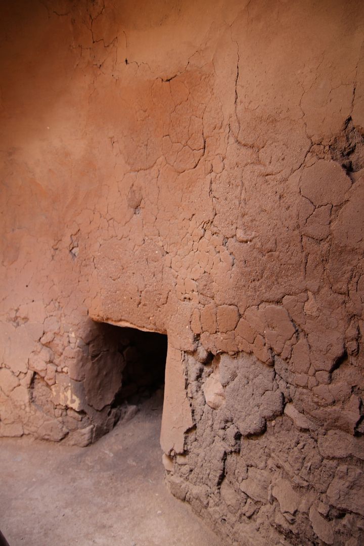
There are extensive remains of the rooms built next to the church for clergy, guests, and those that worked in the church.
Ruins of the South Pueblo are located near the church. It is believed that those who lived here were followers of Christianity and worked closely with the friars.
In 1838 the few remaining individuals at Pecos Pueblo joined their relatives 80 miles west at Jemez Pueblo. Some of their descendants continue to live there today.
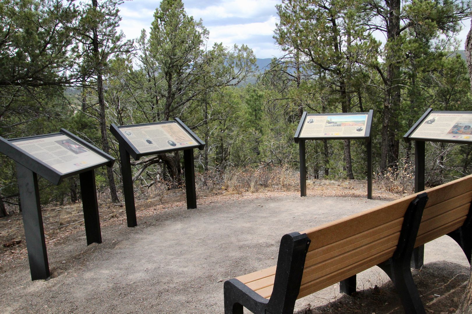
We returned to the Visitor Center to obtain directions to the Glorieta Unit (about 8 miles away). They also provided the code for the combination lock to enable us to open the gate to the area.

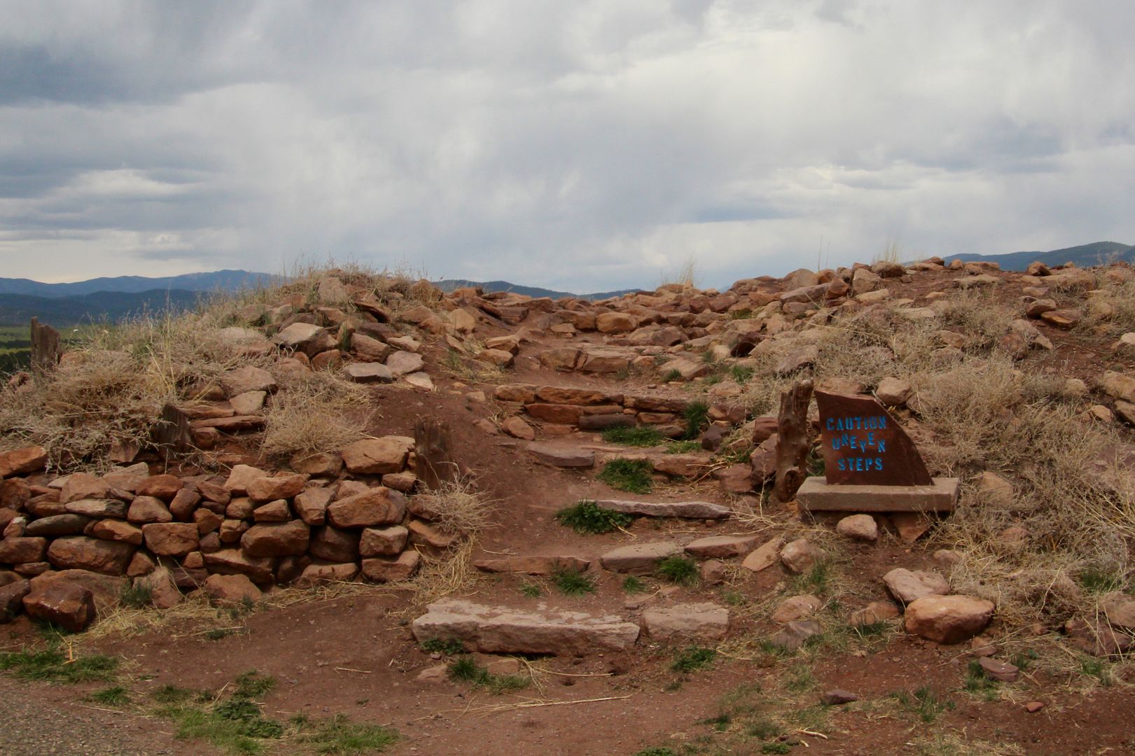
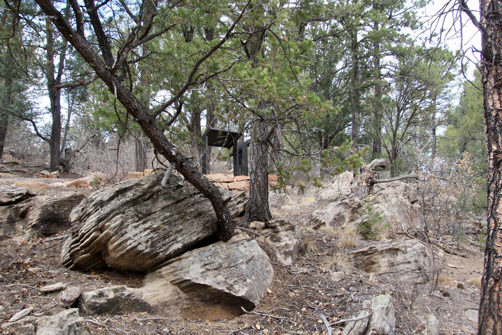
The 2.2 mile trail has interpretive signs along the way to describe the battle that occurred March 26-28, 1862. The first battle was at Apache Canyon on March 26. The heaviest fighting (with many casualties) was at Pigeon’s Ranch the morning of March 28; and the third, and final battle, was at Johnson’s Ranch the afternoon of the 28th. The result was a strategic victory for the Union forces because the Confederate supplies were destroyed (causing them to withdraw to TX). It was the last Civil War conflict in New Mexico.
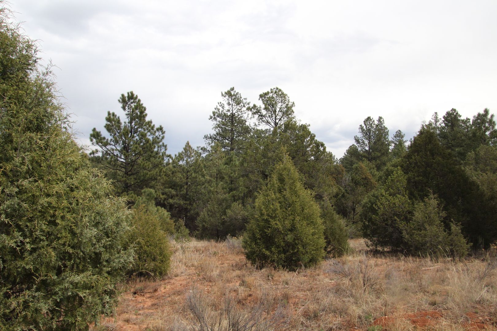
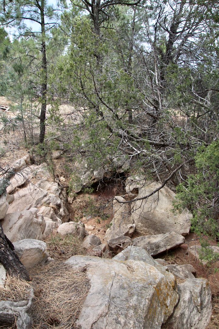
Today there are trees in the area, but in 1862 this was cleared for farming and troops fought from the arroyos and rock formations.
Learning about the Pueblos and life in this area is fascinating. I especially liked the restored kiva and ruins of the mission church. The two hikes were very different, but both were interesting and fun.
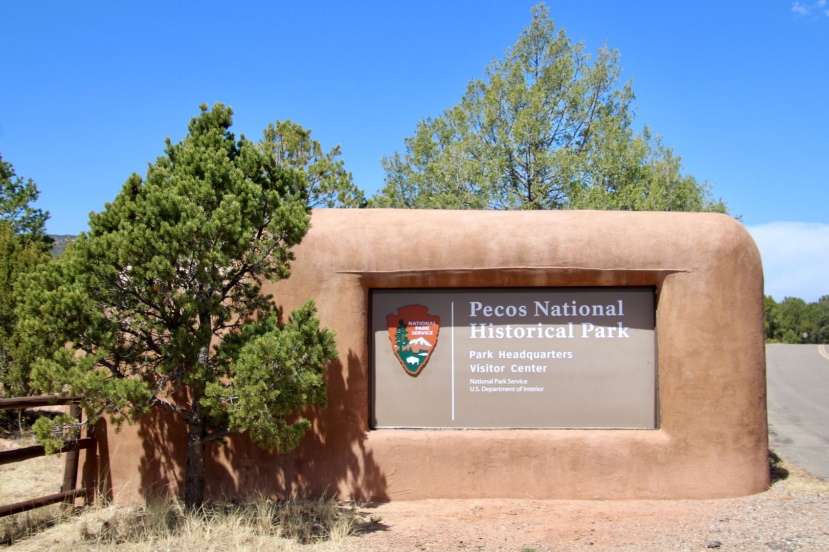
Website: www.nps.gov/peco
No comments:
Post a Comment