Friday, October 31, 2014

Dinner @ Mastrioni's, Las Vegas, NV - 10/30/14

What fun we had tonight seeing friends, Rose and Steve, from Pennsylvania. Actually, they have a second home in Las Vegas as well. After talking about trying to get together a couple of months ago (if we were in close proximity to each other), it happened tonight.

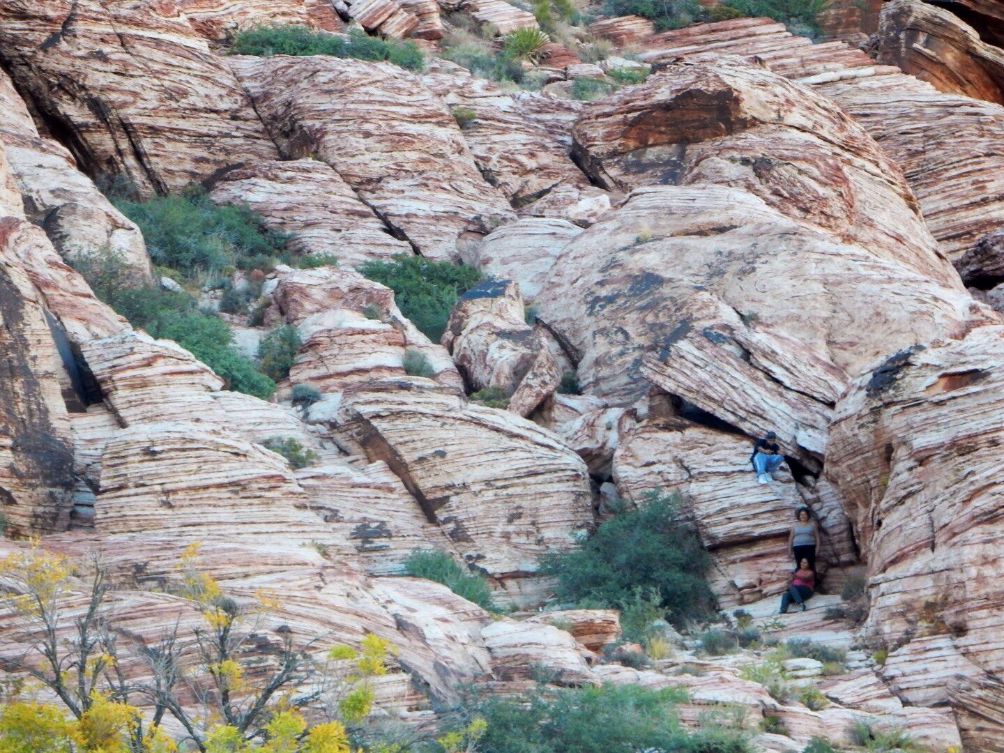
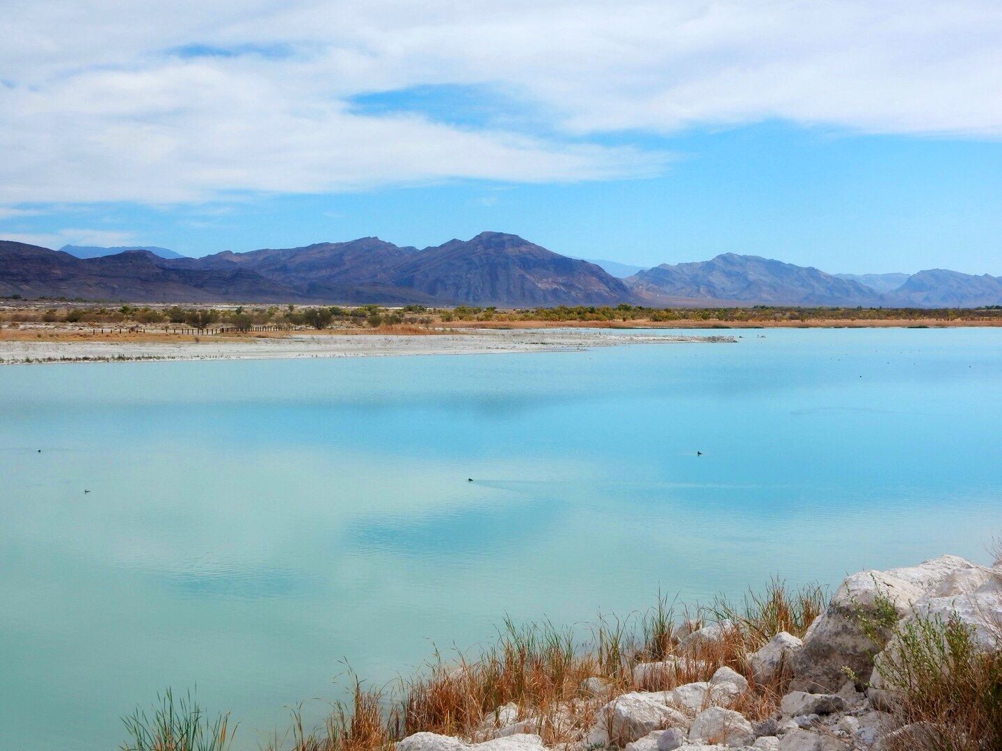
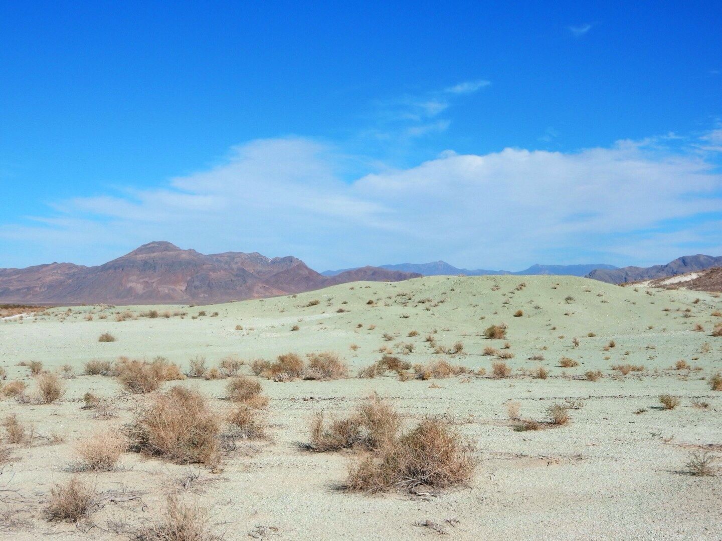
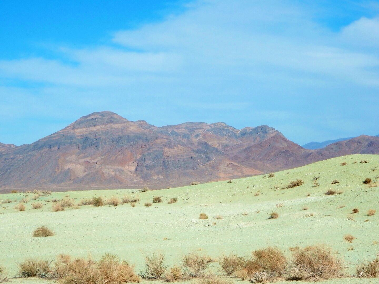
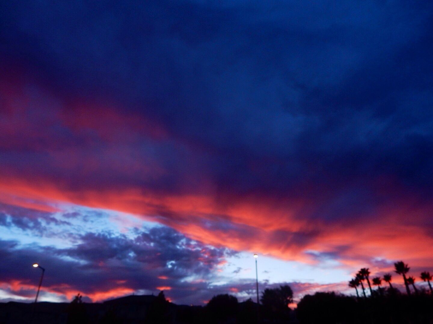
A quick aside: Here's a view of the evening sky as we were entering the restaurant. There were more clouds in the sky tonight than we have seen since we have been in NV!


Mastrioni's is a fine Italian restaurant with appetizer and dinner specials in the Summerlin area (west Las Vegas). It is a family-owned business founded in 1999. The atmosphere is intimate and casual...a great location for good food and table conversations. Currently rated at 88% [likes] on UrbanSpoon (my go-to restaurant app as we travel the country), it was as good as the reviews said it would be. Of course, Steve and Rose, already knew that but it was our first visit.

There is an expansive menu of Italian cuisine, I had Chicken Piccata; John had bone-in prime rib; Rose and Steve had Chicken Parmesan and Veal. We both had their house salad. The food was delicious with great service, too. None of us had dessert (too full) even though they had an impressive menu.

The best part of the night, though, of course, was catching up with friends. We enjoyed hearing about their family, work, and plans while we shared info about our full-time RV, retirement lifestyle. What a treat it was to see them.

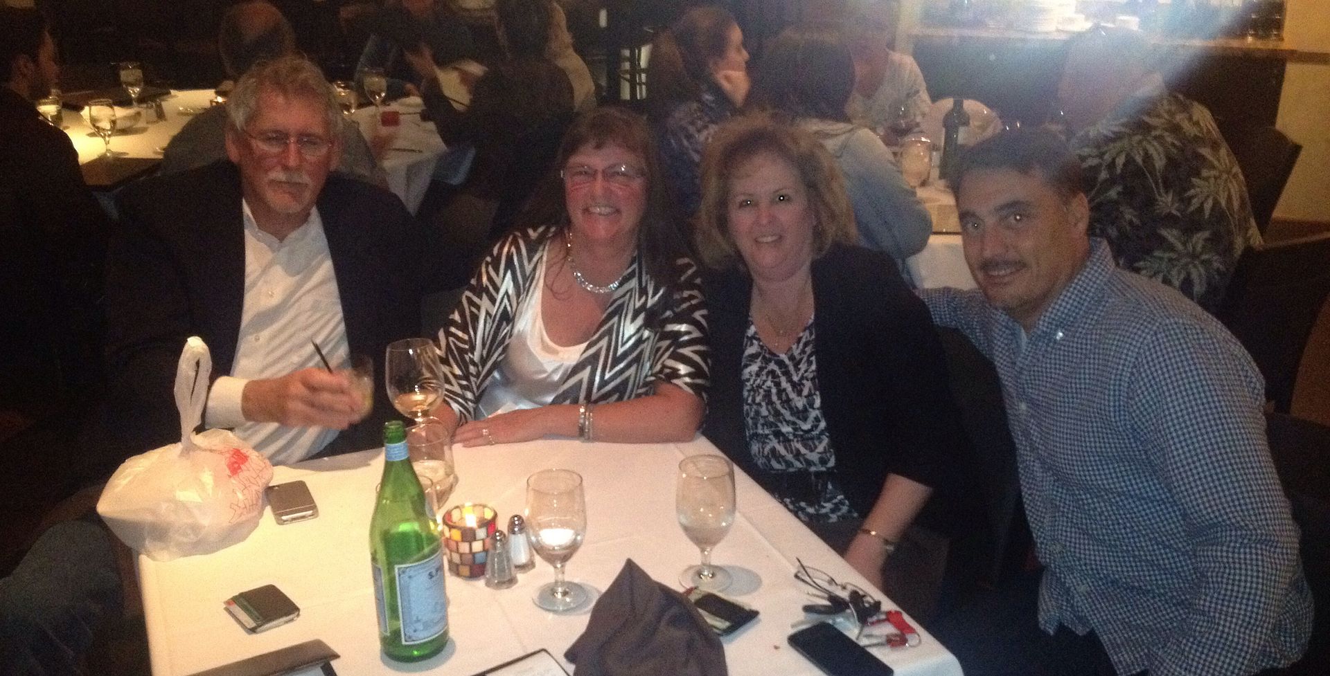
The happy foursome - photo by our gracious waiter.


Their grandchildren who live in Vegas will be spending time with them this weekend. We look forward to the next time we are all in the same geographic location. This is one of the aspects of RV life that is very different from our previous lifestyle. To continue friendships, you need to make the effort to keep in touch. And it is so much fun when we do get together...where ever that may happen to be!

Check out the restaurant website for menu and other info:  www.mastrionios.com

Red Spring, Red Rock Canyon - 10/28/14

Today we drove to Las Vegas to do some shopping. On the way back, we stopped at Red Spring located on Rte 159 a couple of miles before the Scenic Loop Drive at Red Rock Canyon National Conservation Area. While we have driven the Scenic Loop and hiked some of the trails in Red Rock, we had not visited this location.

I love this view of the sandstone rock formations here in the late afternoon.


A quick walk through the picnic area next to the parking lot brings you to the start of the 1/2 mile boardwalk loop trail to the Calico Basin.


The cliff wall as seen by from the boardwalk.


There is also a trail on the perimeter of the fence on the right that leads to the rocky cliffs.

Some rock scramblers...

Along the boardwalk are interpretive signs describing the wildlife, plant life, and geology of the area.


Views of the meadow (Calico Basin).


Petroglyphs (rock paintings) estimated to be 5,000 years old can be seen from the boardwalk trail.


Pictographs (rock carvings) also created by Native Americans thousands of years ago.


The Red Spring emerges from a short tunnel under this large rock.


Dusk at Red Spring.

This is a popular location to see some of the beautiful rock formations at Red Rock Canyon. There is no fee to access this area. We particularly liked seeing the artwork of Native Americans in this location...very accessible.

Website:  www.nv.blm.gov/redrockcanyon

Tuesday, October 28, 2014

Ash Meadows Wildlife Refuge, 2nd Visit, 10/26/14

Because we were so impressed during our first visit to Ash Meadows, the largest remaining oasis of the Mohave Desert, we returned for a second visit. This time we prepared for some hiking and packed a picnic lunch.

We entered the Wildlife Refuge from the western entrance (off of Rte 372 north) to minimize the amount of driving on the roads here (as all roads in the Refuge are gravel). This is when we wish we had a four-wheel drive vehicle!

Our first stop was at the Crystal Reservoir (at a different location than our previous visit) that is fed by Crystal Spring.

This is the northern edge of the reservoir.


Tracks of water fowl and other desert critters can be seen around the edges of the body of water.

Sadie loves the water!

A good shake!

We hiked south on the trail on the west side to the southern end of the reservoir. Autumn has come to the desert.


We explored some of the desert to the west of the reservoir. There are salt deposits along with some marshy areas...very interesting terrain.


View to the east.

Picnic tables can be found near the Visitor Center. We enjoyed our lunch in the beautiful setting of the Wildlife Refuge. Because it was near the area where we ate, we strolled along the boardwalk that follows Crystal Spring.


Can you see how clear the water is?


And right next to this lovely stream is this arid, desert terrain.


Every minute 2,800 gallons of fresh water flows into this spring from the limestone aquifer at this location. The water is a constant 87 degrees.


Sadie was fascinated by the lizards she saw along the boardwalk! And wanted to chase them, but, of course, it is not permitted!

We left Ash Meadows the same we came, via the western entrance. On our way back to Pahrump, NV, (where we are staying), we drove a short distance into the Refuge from the southern entrance. There is an amazing area of green (and I mean, really green!) rock formations that I wanted to see.


Decomposing mica in the soil creates this sea-green color.


This concluded our visit to Ash Meadows today. We may return yet again before we leave the area. Admission to this National Wildlife Refuge is free. All roads are unpaved and there are no services in the refuge (no food, fuel, camping, etc.)  Bottled water is available at the Visitor Center.

Website:  www.fws.gov/refuge/ash_meadows

Monday, October 27, 2014

Keystone Thrust, Red Rock Canyon - 10/24/14

Today we returned to the beautiful Red Rock Canyon National Conservation Area to do some hiking. We selected the Keystone Thrust Trail so we could see the most significant geologic feature of Red Rock.

The trail is located about 7 miles from the Visitor Center on the Scenic Loop Road. Turn right onto the gravel road leading to White Rock and continue to the second parking area. There are multiple trails that begin at this location. Start out going north and turn right after a very short distance to get to Keystone Thrust. This is well marked.

Rock formations to the west at the beginning of the trail.


View to the north.

We encountered many interesting trees along the trail. These look like they are dead but will likely come back in the spring.


Can you see the Sadie (our doggy) in the desert? She loved exploring the trail with us!


This is our first view of the Keystone Thrust.


The significance of this area is that younger rock (Jurassic period sandstone) overlies older rock (Paleozoic limestone). Normally, of course, rock formations are stacked from oldest to youngest. What caused this to occur here is the result of the Keystone Thrust Fault...tectonic plates colliding. This occurred about 65 million years ago as compressional forces in the earth's crust thrust up the younger rock over a period of thousands of years. The limestone has protected the weaker sandstone from erosion since.

The compressional fault thrusting at the end of the Mesozoic Era can be traced into Canada, but the best exposure of the faulting along the entire thrust belt can be seen here.

Hikers have created this "sitting room" using the sandstone rocks in the area.


View of the Keystone Thrust Fault where the Pacific and North Atlantic continental plates collided.

Man and beast.

What a perfect spot for a picnic...


My mountain goat...

In the valley ... old rock on the upper left; younger rock on the right.


Views seen during our return hike.


Turtlehead Peak.
View of the valley.

We really enjoyed this hike and took our time exploring the area around the fault line. Be sure to have plenty of water, a snack (we packed lunch), and wear a hat and hiking boots. The trail is rated moderate meaning that is has an elevation gain of less than 1,000', uneven terrain, and some rock scrambling. It was about 2.5 miles.

Admission to Red Rock is $7/vehicle. John's senior pass gets us in for free as this is managed by the Bureau of Land Management.

Website:  www.nv.blm.gov/redrockcanyon