The trail is located about 7 miles from the Visitor Center on the Scenic Loop Road. Turn right onto the gravel road leading to White Rock and continue to the second parking area. There are multiple trails that begin at this location. Start out going north and turn right after a very short distance to get to Keystone Thrust. This is well marked.
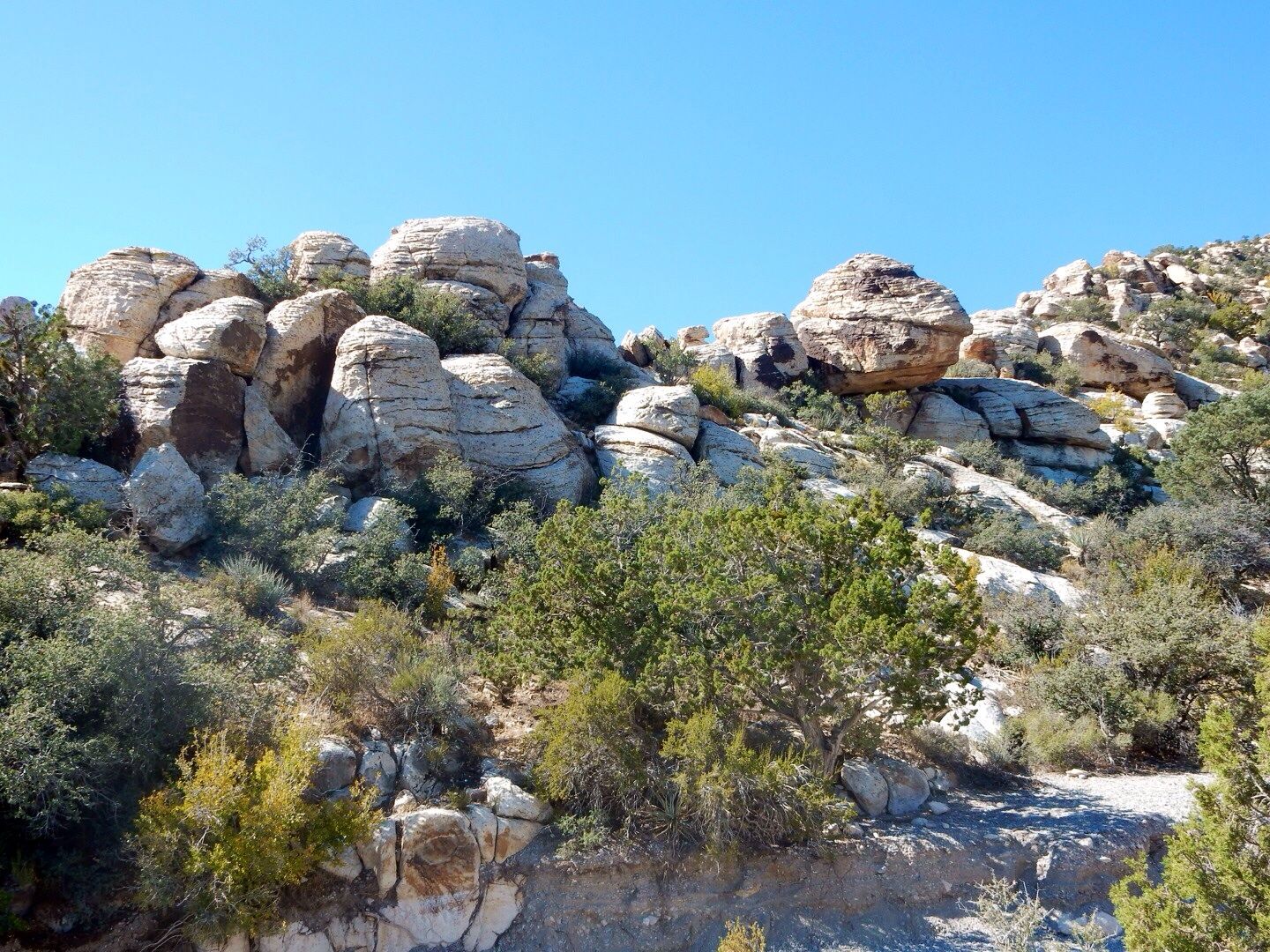
Rock formations to the west at the beginning of the trail.

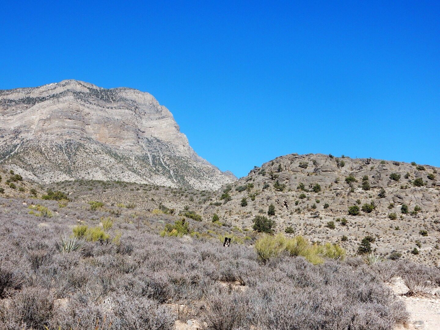
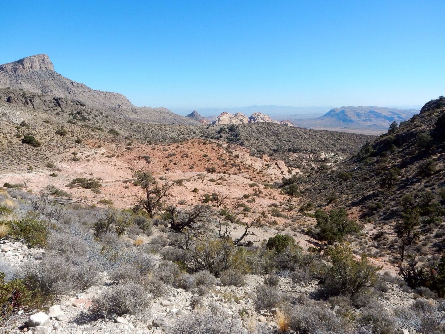
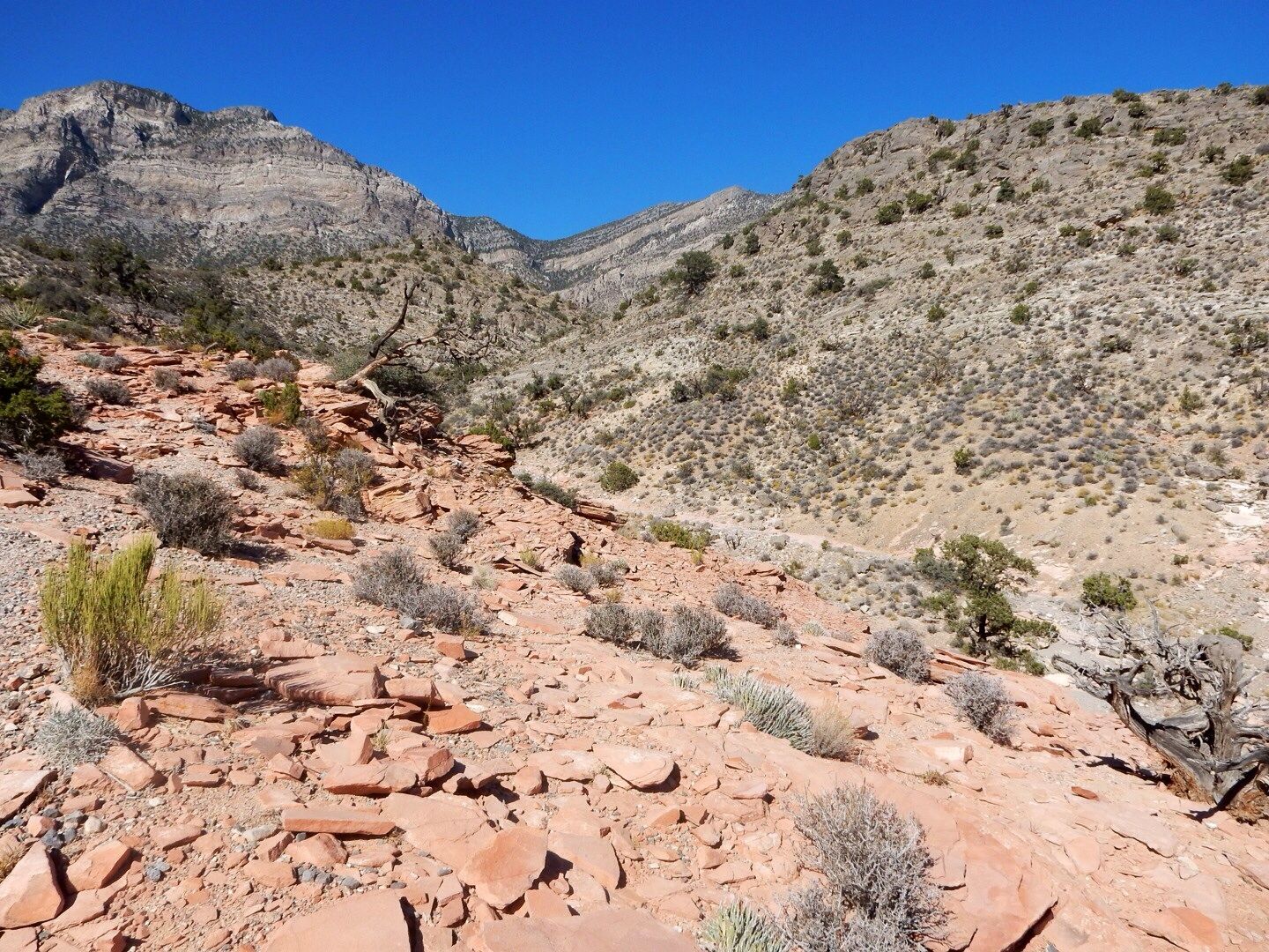
View to the north.

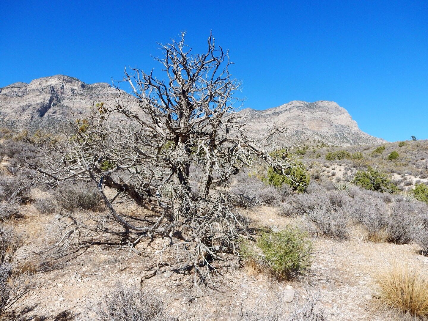
We encountered many interesting trees along the trail. These look like they are dead but will likely come back in the spring.
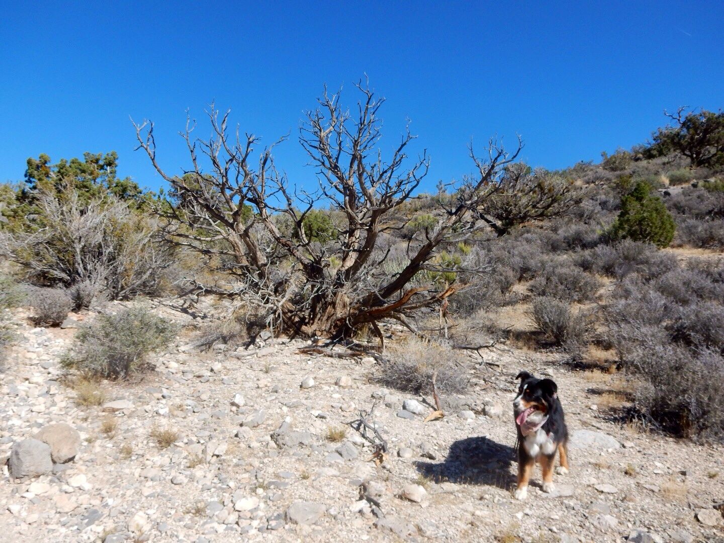
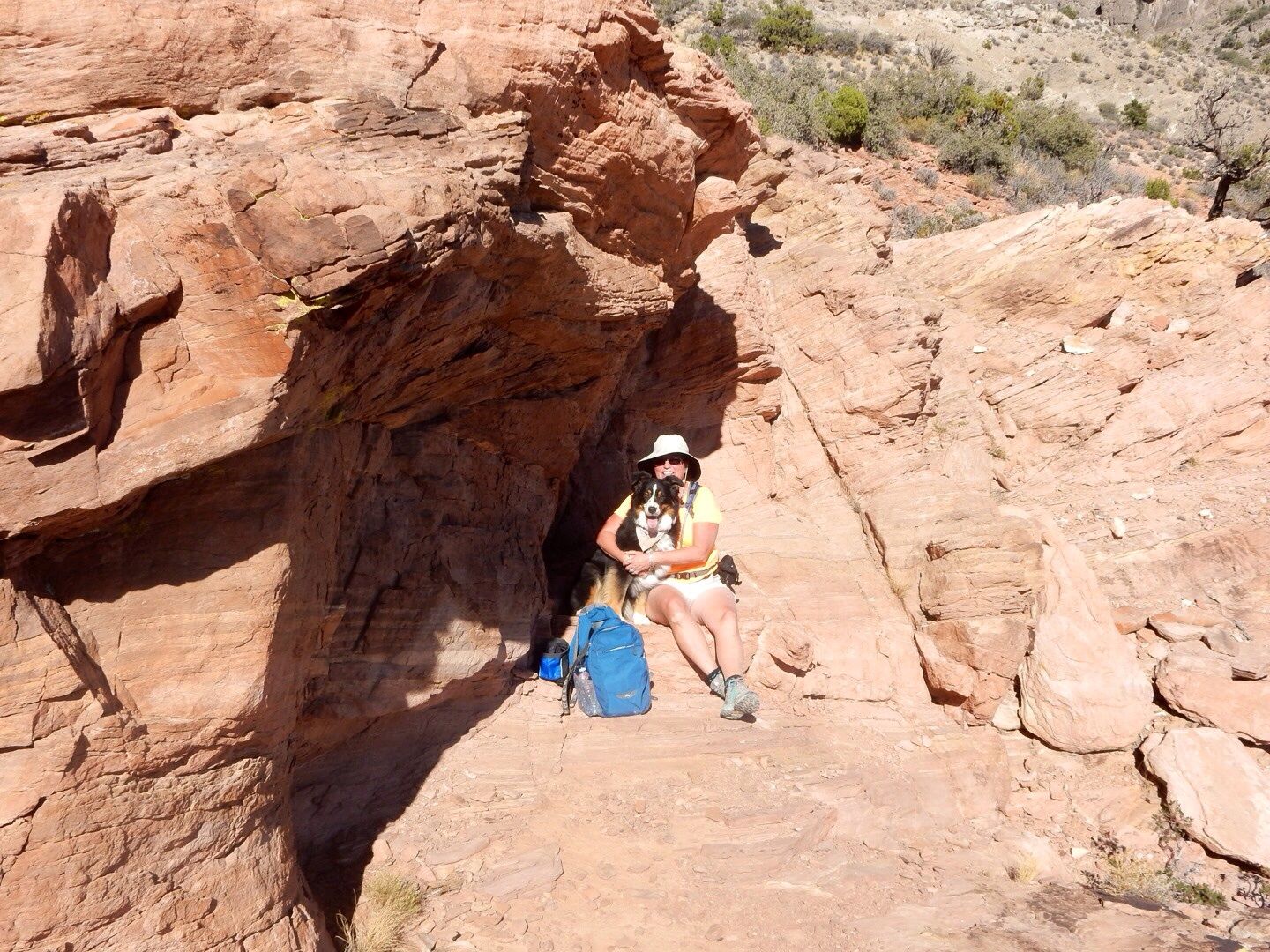
Can you see the Sadie (our doggy) in the desert? She loved exploring the trail with us!
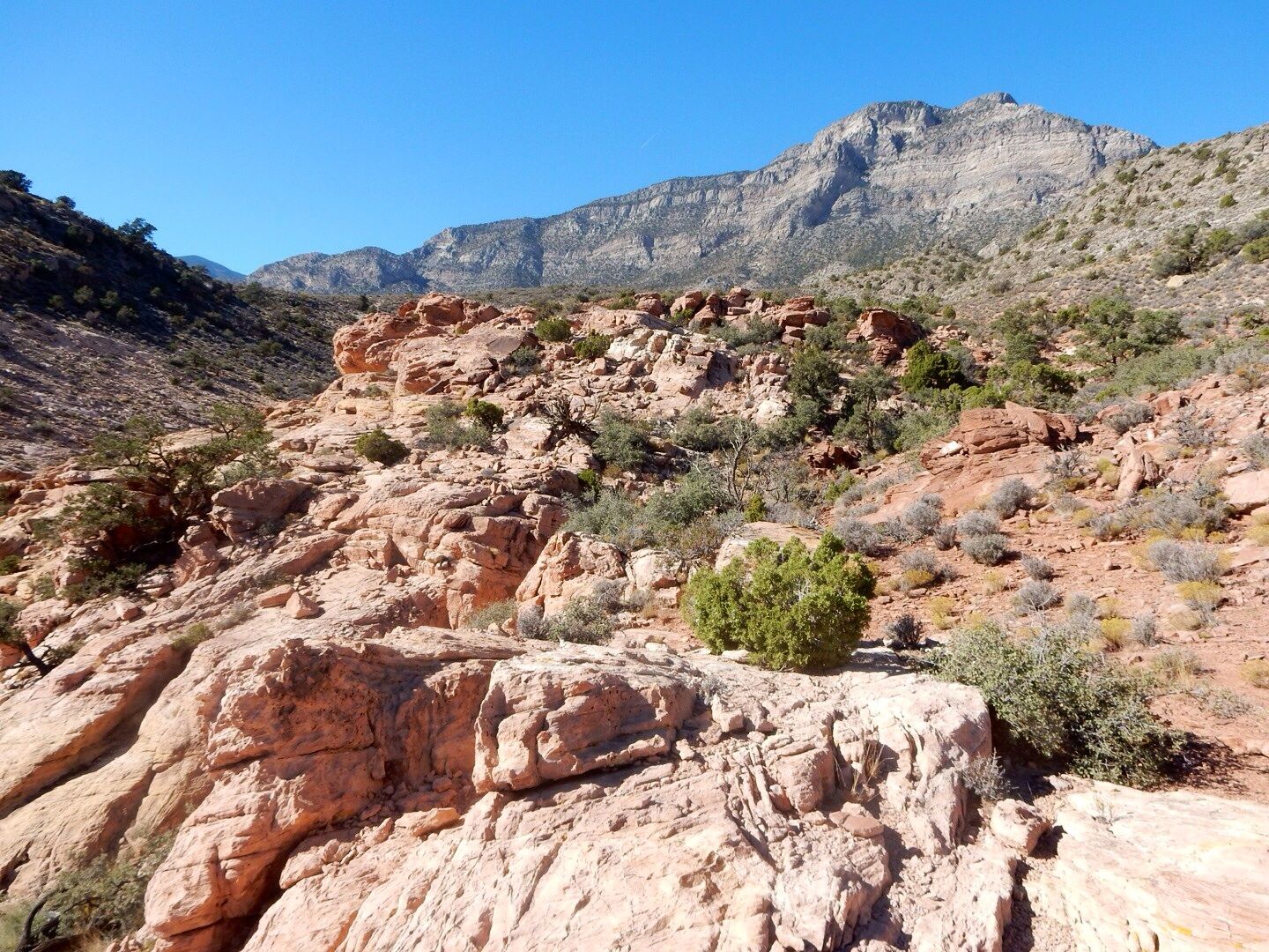
This is our first view of the Keystone Thrust.
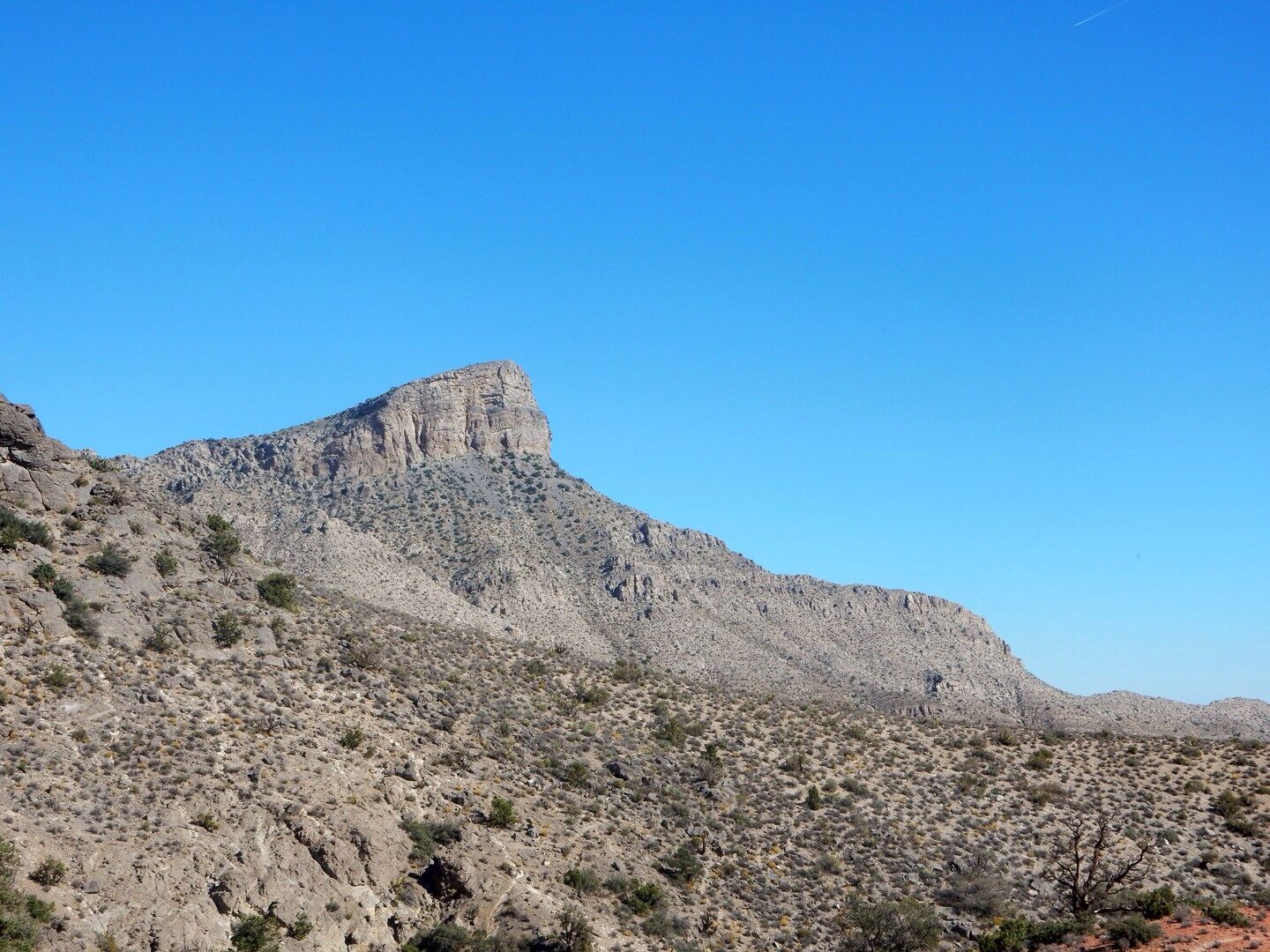
The significance of this area is that younger rock (Jurassic period sandstone) overlies older rock (Paleozoic limestone). Normally, of course, rock formations are stacked from oldest to youngest. What caused this to occur here is the result of the Keystone Thrust Fault...tectonic plates colliding. This occurred about 65 million years ago as compressional forces in the earth's crust thrust up the younger rock over a period of thousands of years. The limestone has protected the weaker sandstone from erosion since.
The compressional fault thrusting at the end of the Mesozoic Era can be traced into Canada, but the best exposure of the faulting along the entire thrust belt can be seen here.
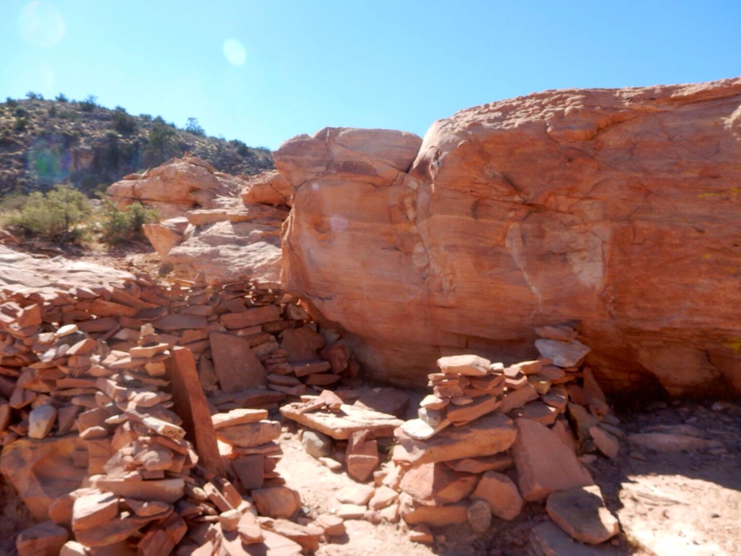
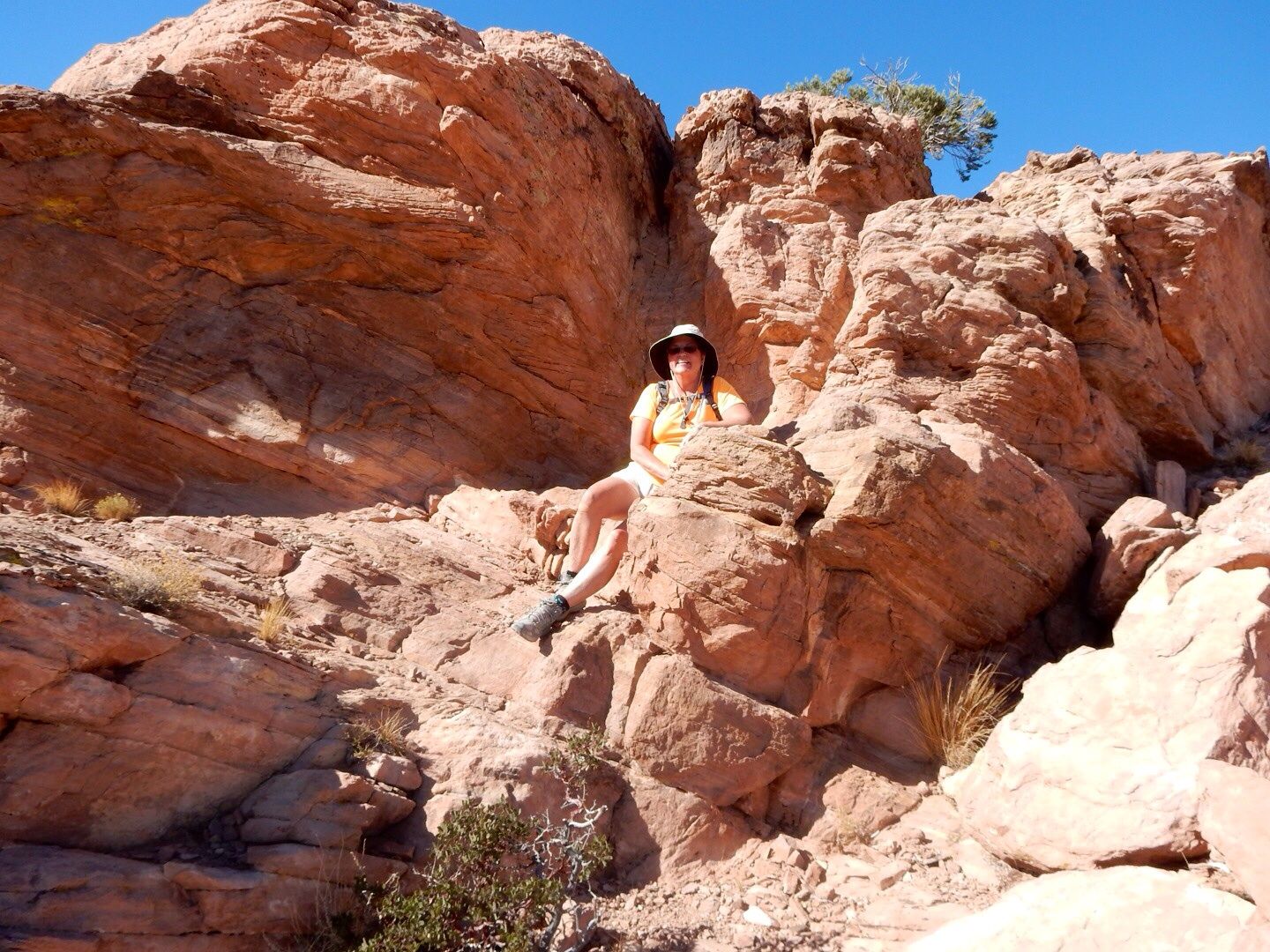
Hikers have created this "sitting room" using the sandstone rocks in the area.
View of the Keystone Thrust Fault where the Pacific and North Atlantic continental plates collided.

What a perfect spot for a picnic...
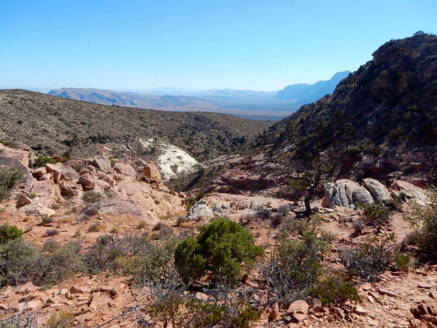
In the valley ... old rock on the upper left; younger rock on the right.
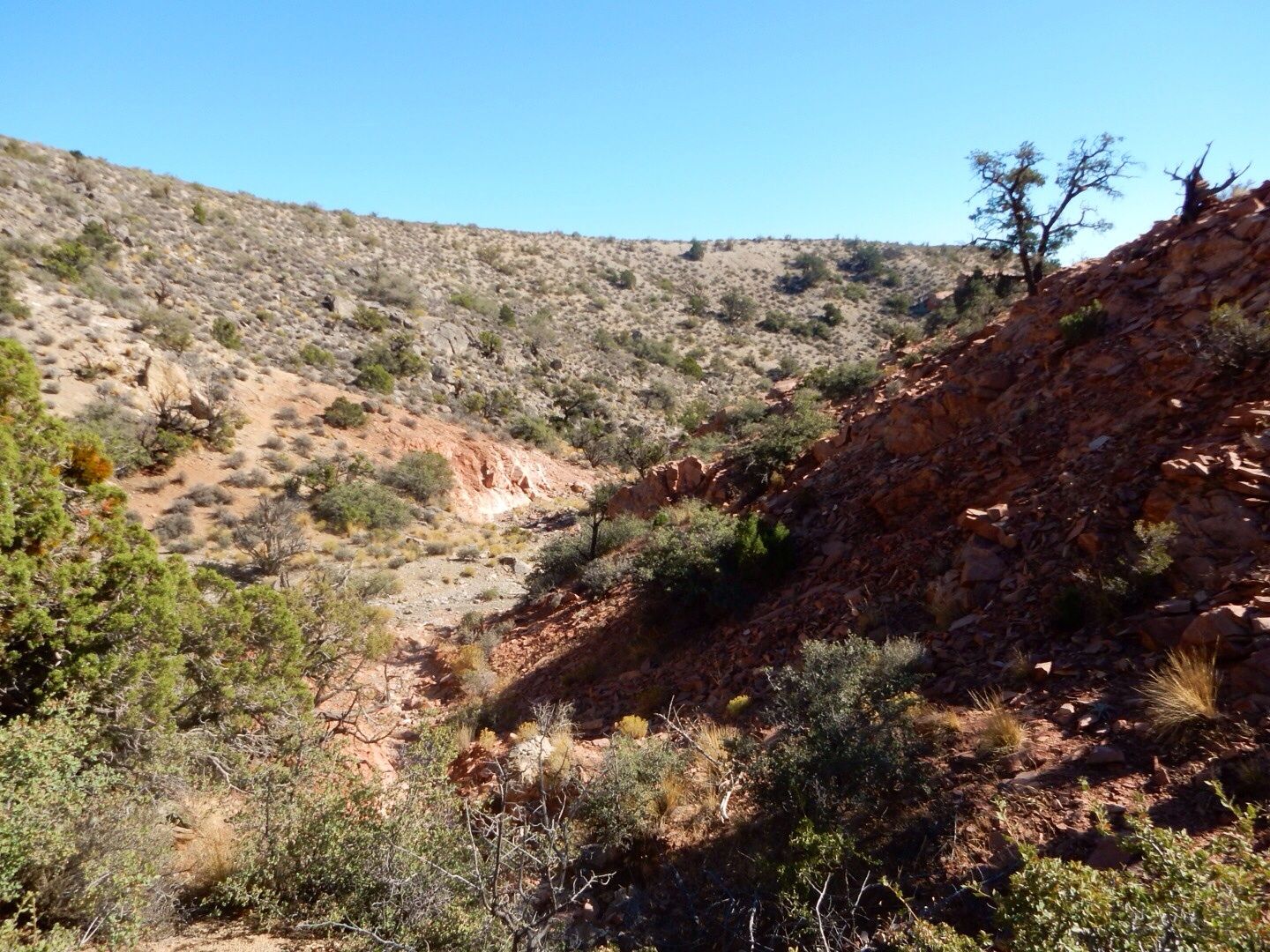
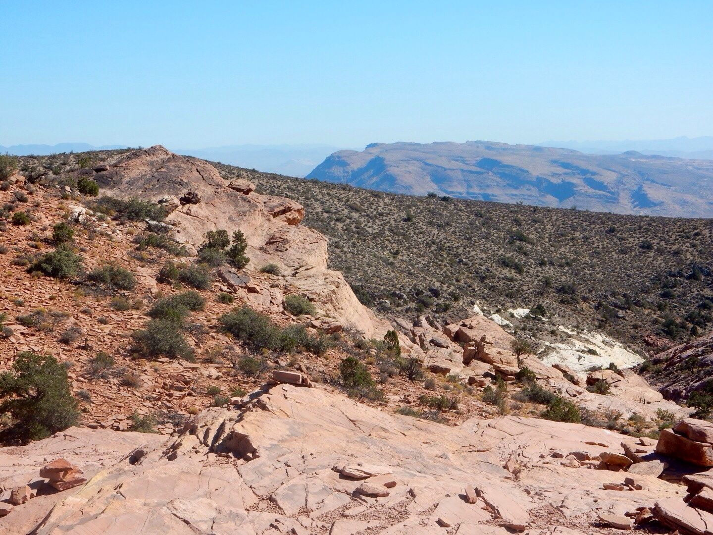
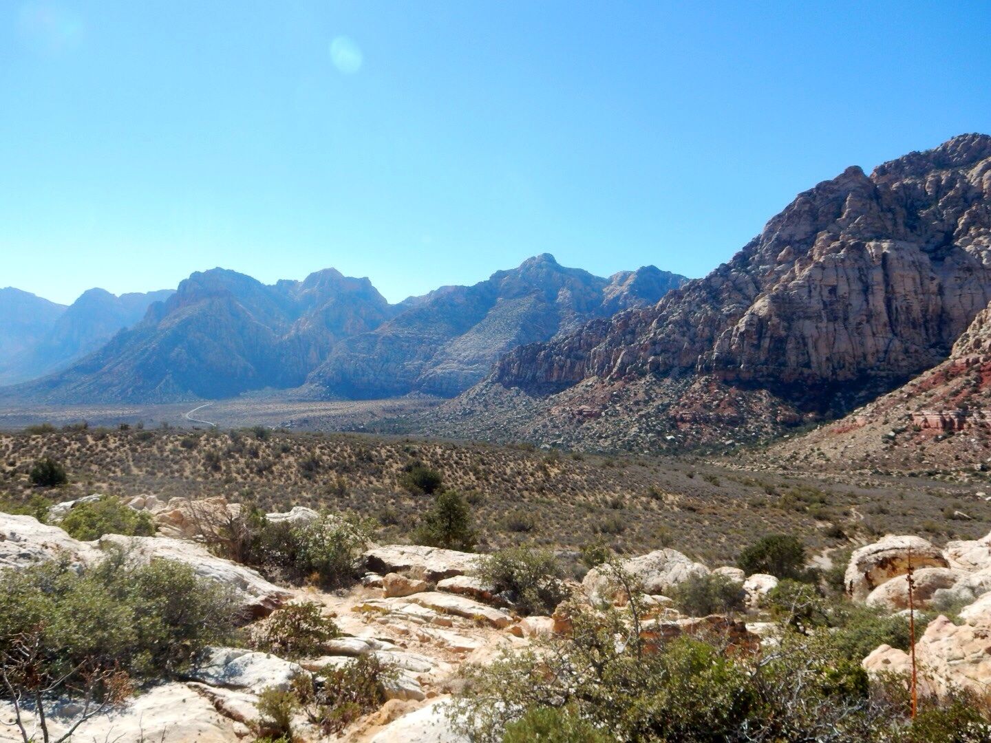
Views seen during our return hike.
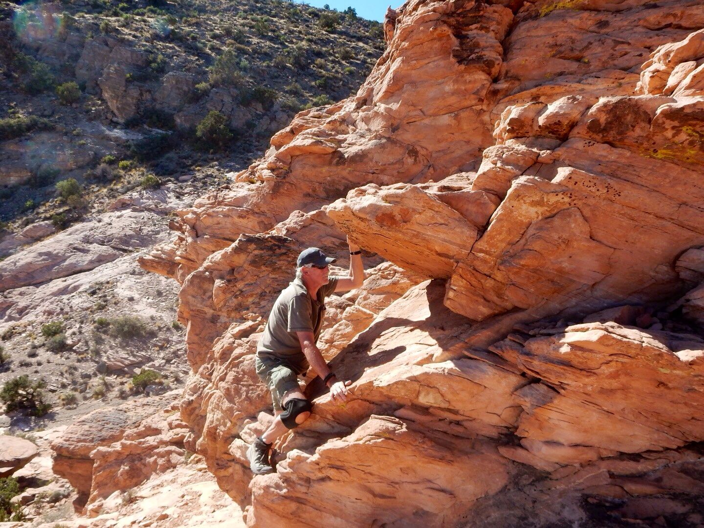
We really enjoyed this hike and took our time exploring the area around the fault line. Be sure to have plenty of water, a snack (we packed lunch), and wear a hat and hiking boots. The trail is rated moderate meaning that is has an elevation gain of less than 1,000', uneven terrain, and some rock scrambling. It was about 2.5 miles.
Admission to Red Rock is $7/vehicle. John's senior pass gets us in for free as this is managed by the Bureau of Land Management.
Website: www.nv.blm.gov/redrockcanyon
No comments:
Post a Comment