Sunday, August 31, 2014

Cascade Springs - 8/31/14

The Cascade Springs are located in the Uinta-Wasatch-Cache National Forest in the Wasatch Mountain Range. We reached the location from the eastern entrance (in Midway). Much of the road was gravel and slow-going, but provided a beautiful views of the surrounding area.

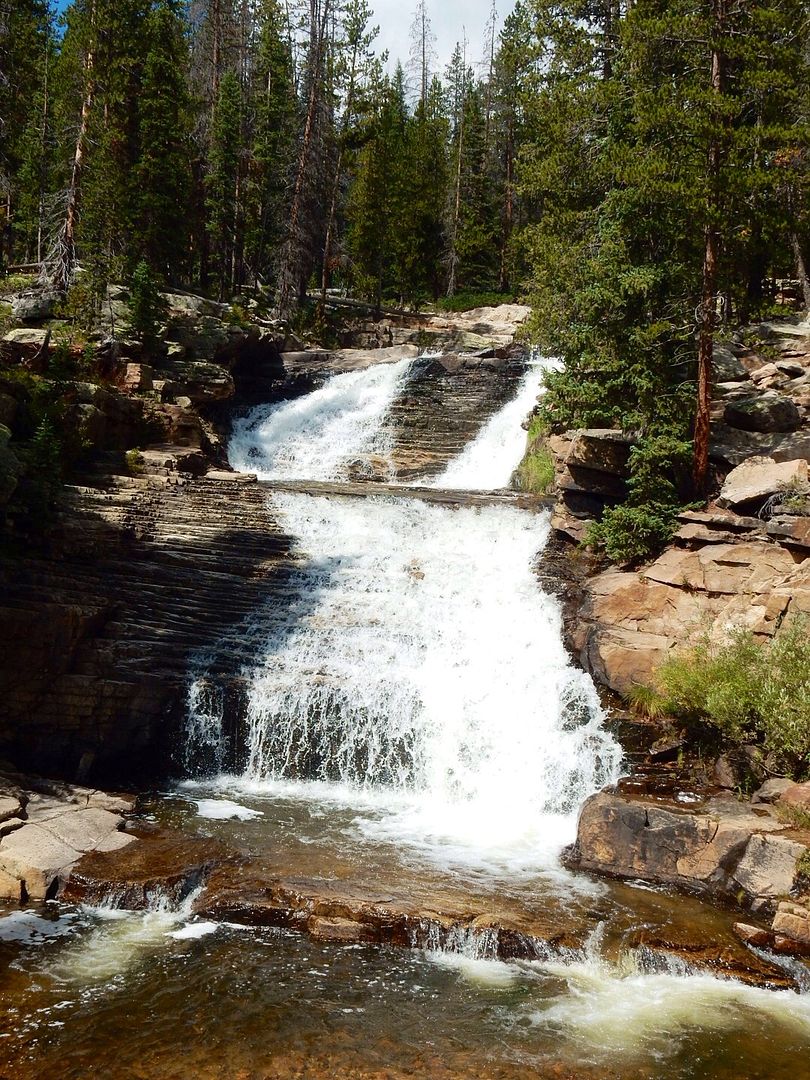
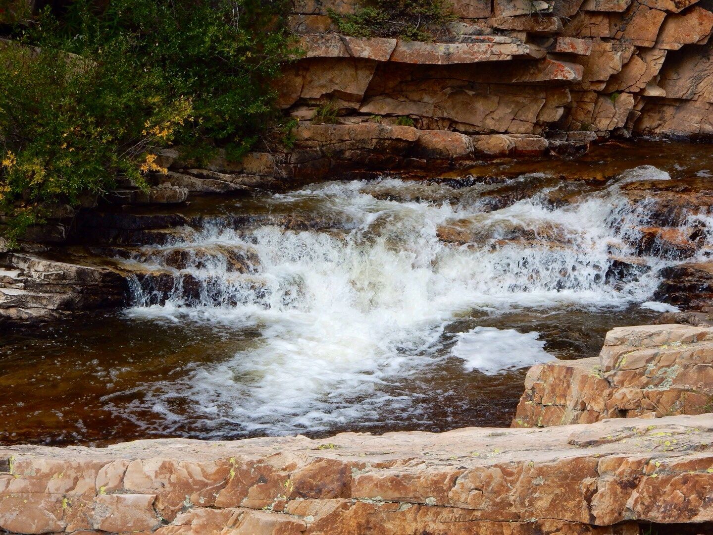
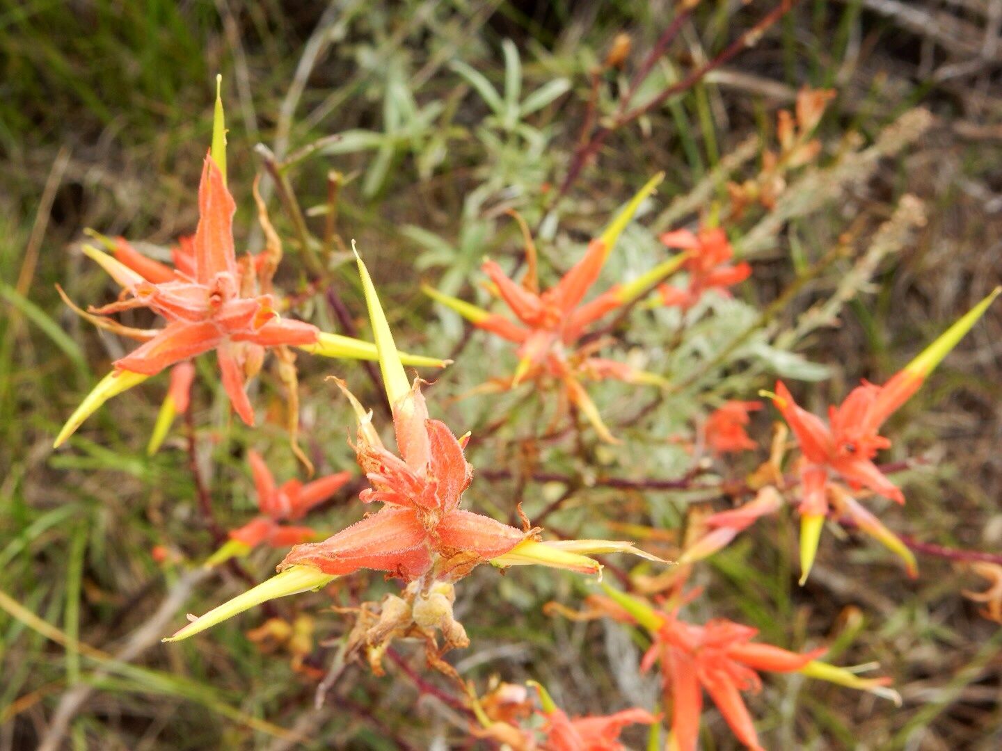
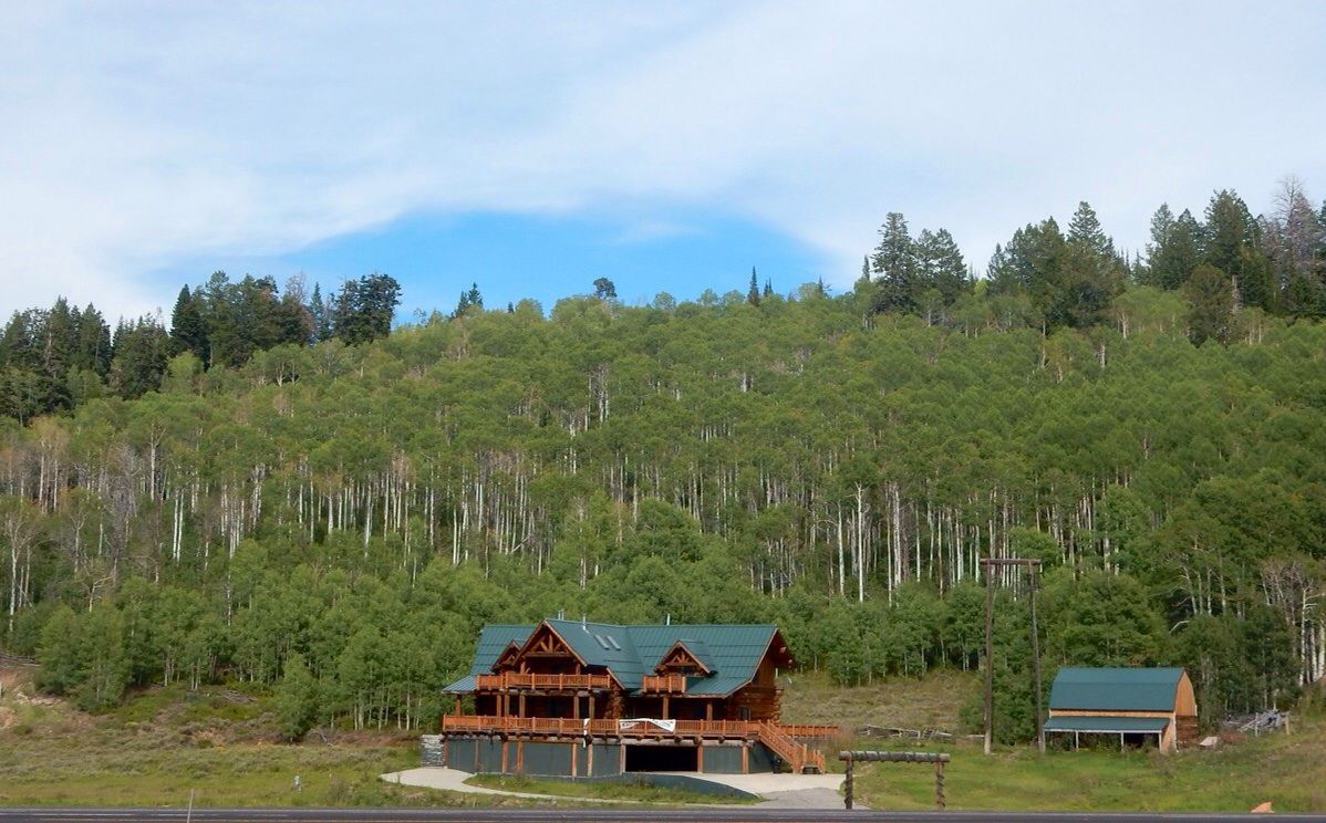
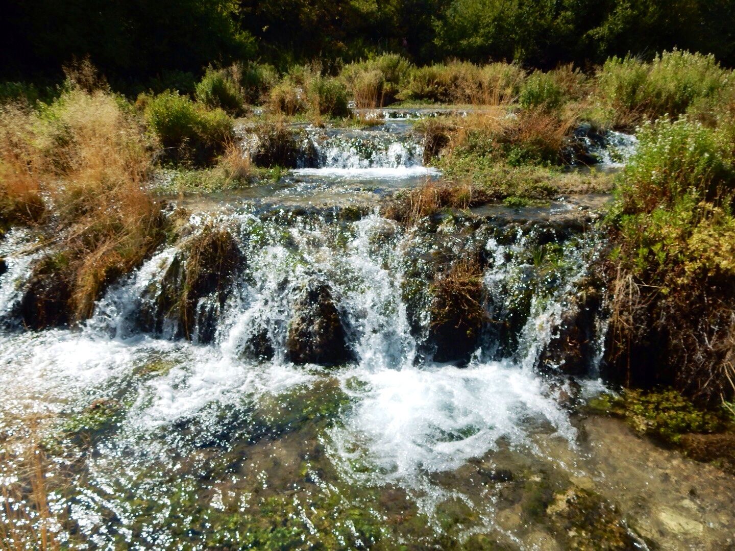
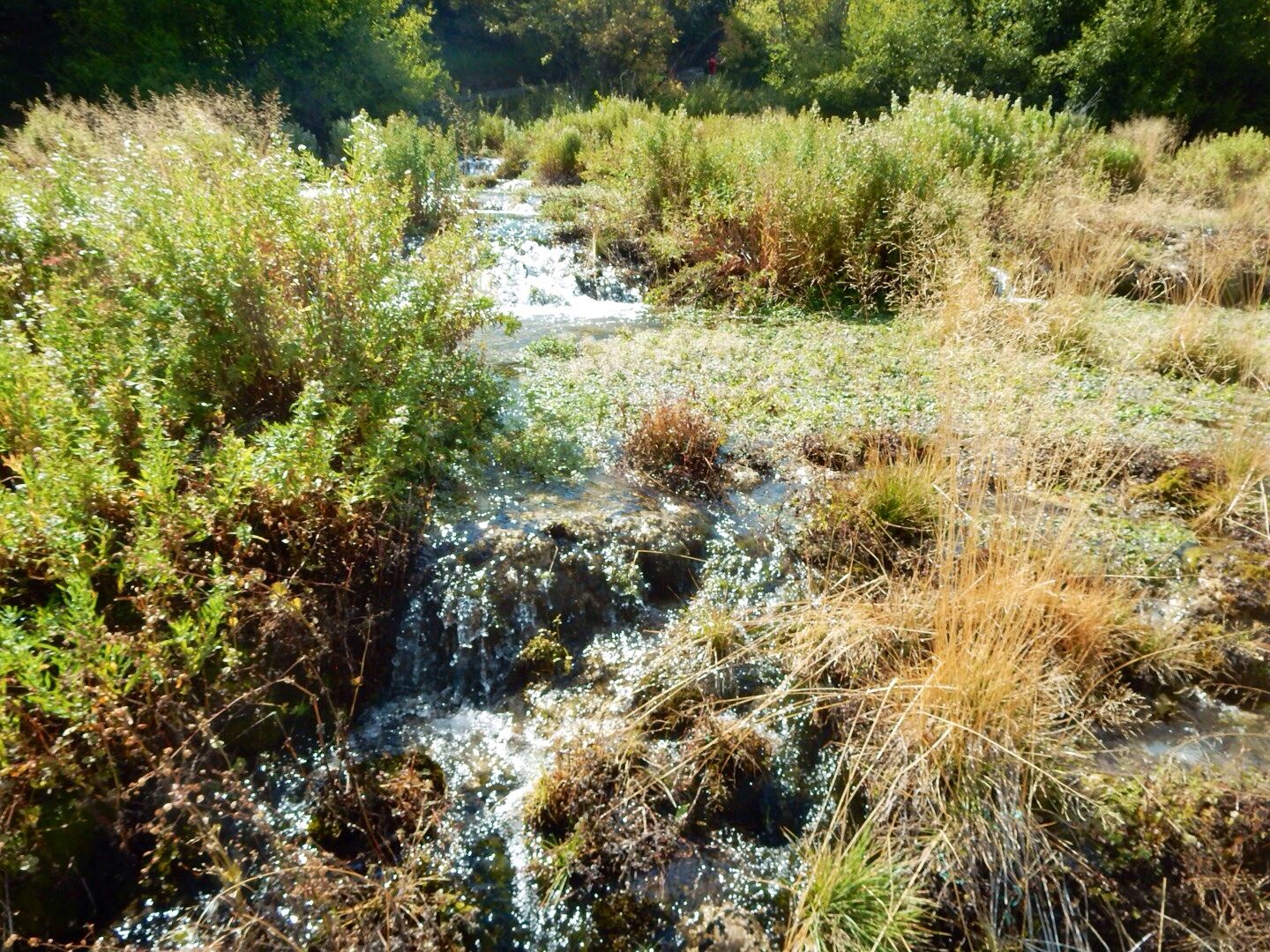
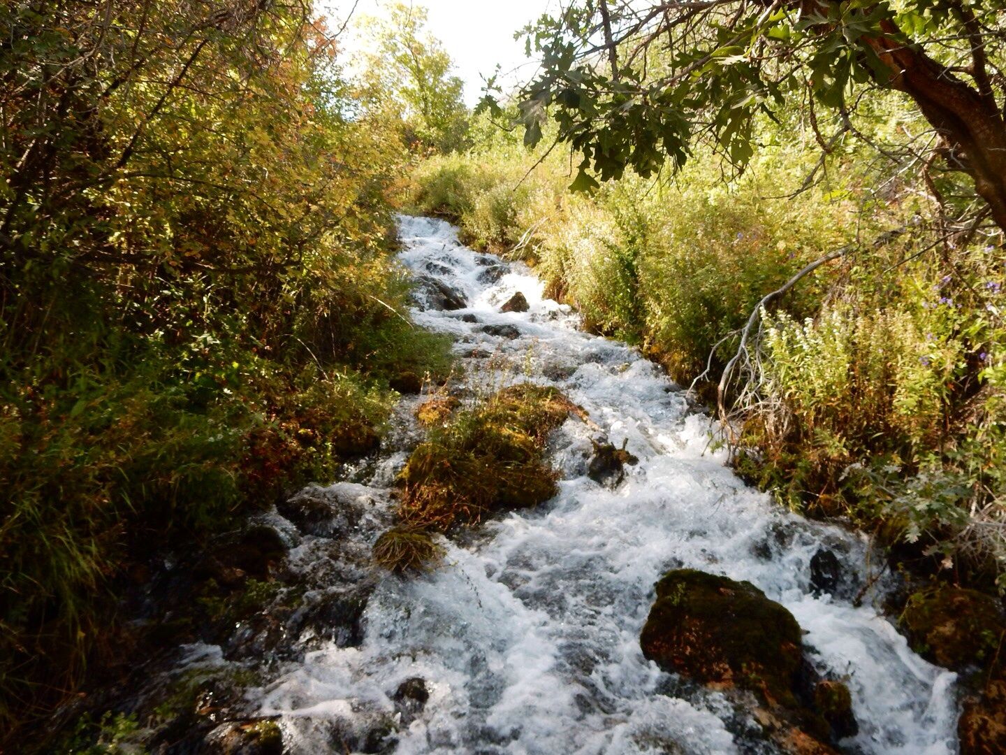
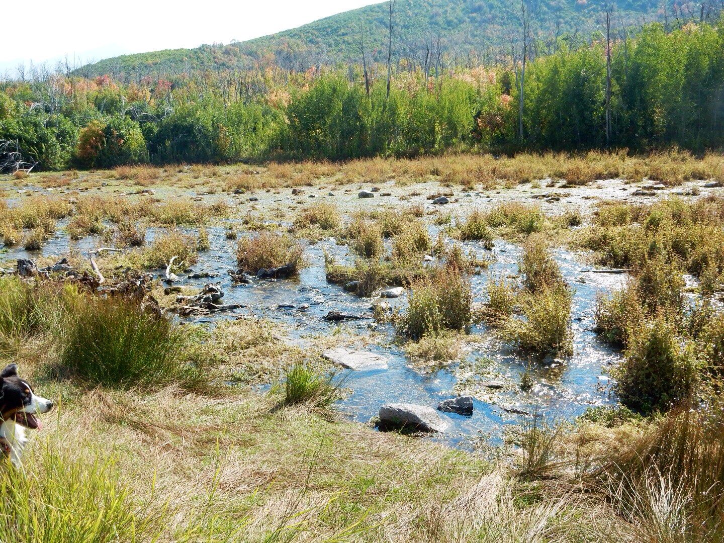
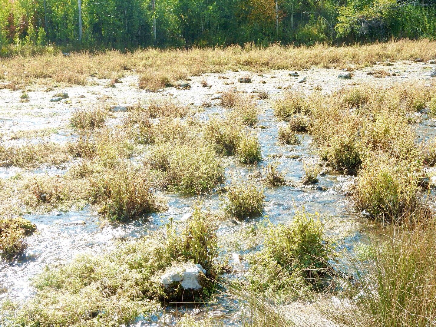
The source of the water at Cascade Springs is the precipitation (rain and snow) on the Wasatch Mountain range. The springs produce 7 million gallons of water daily and eventually flow out to Provo Deer Creek. The area is a beautiful oasis of lush vegetation, lovely pools, and cascading waterfalls.

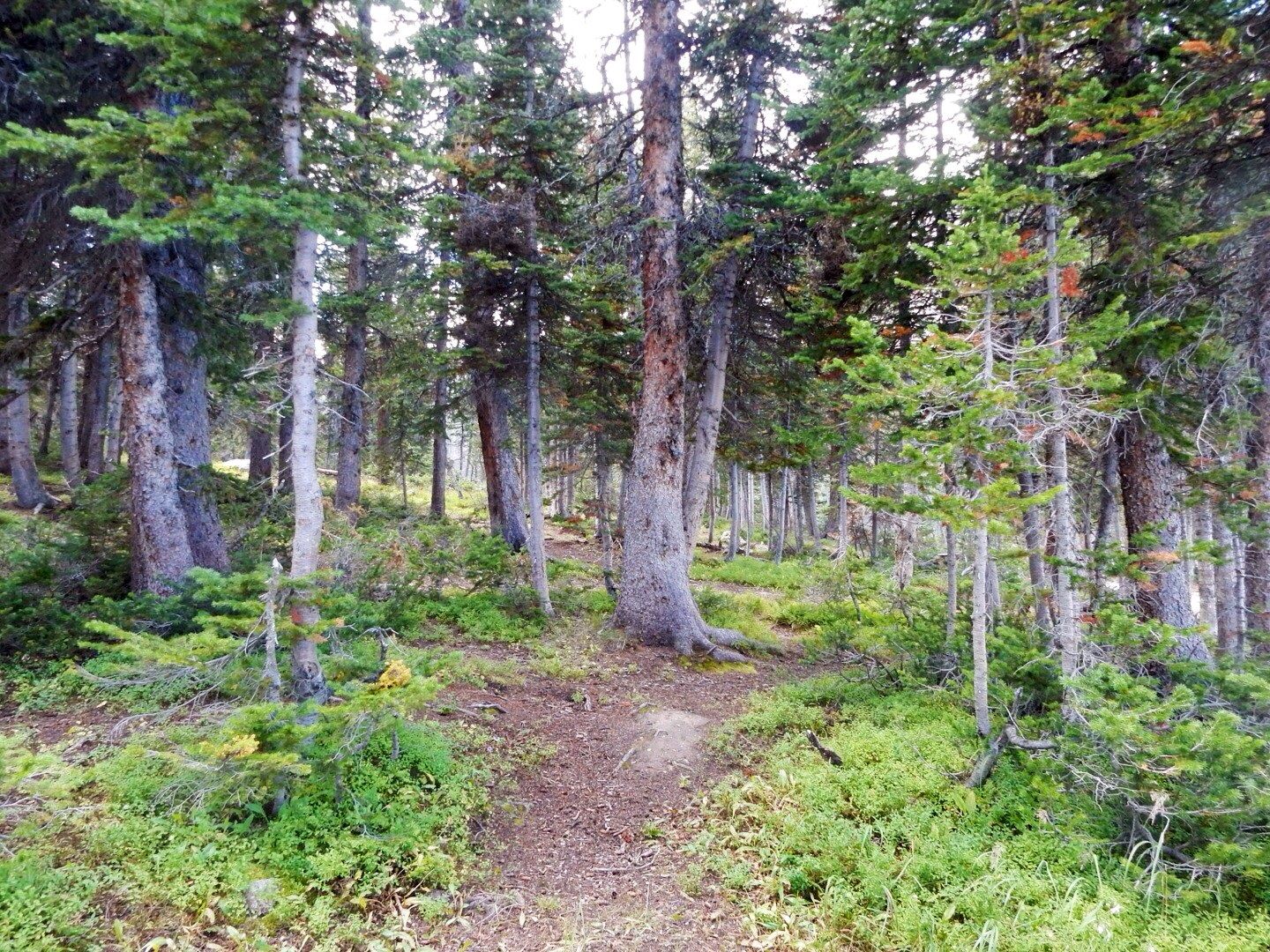
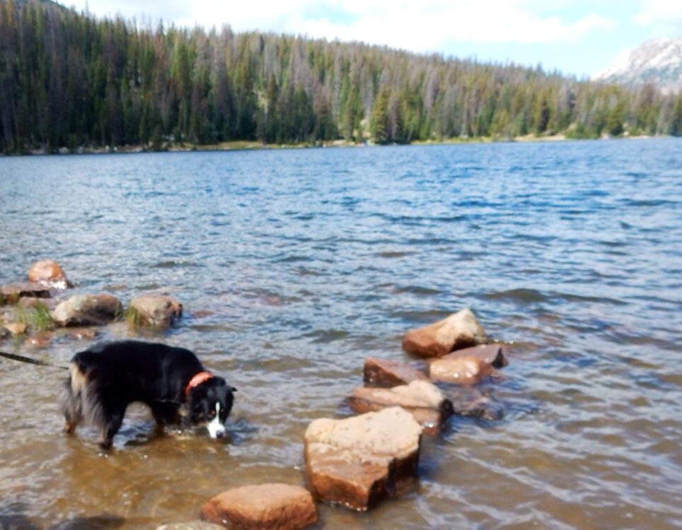
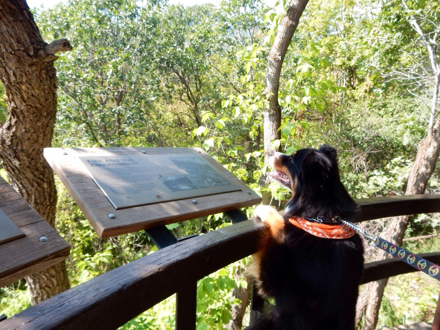
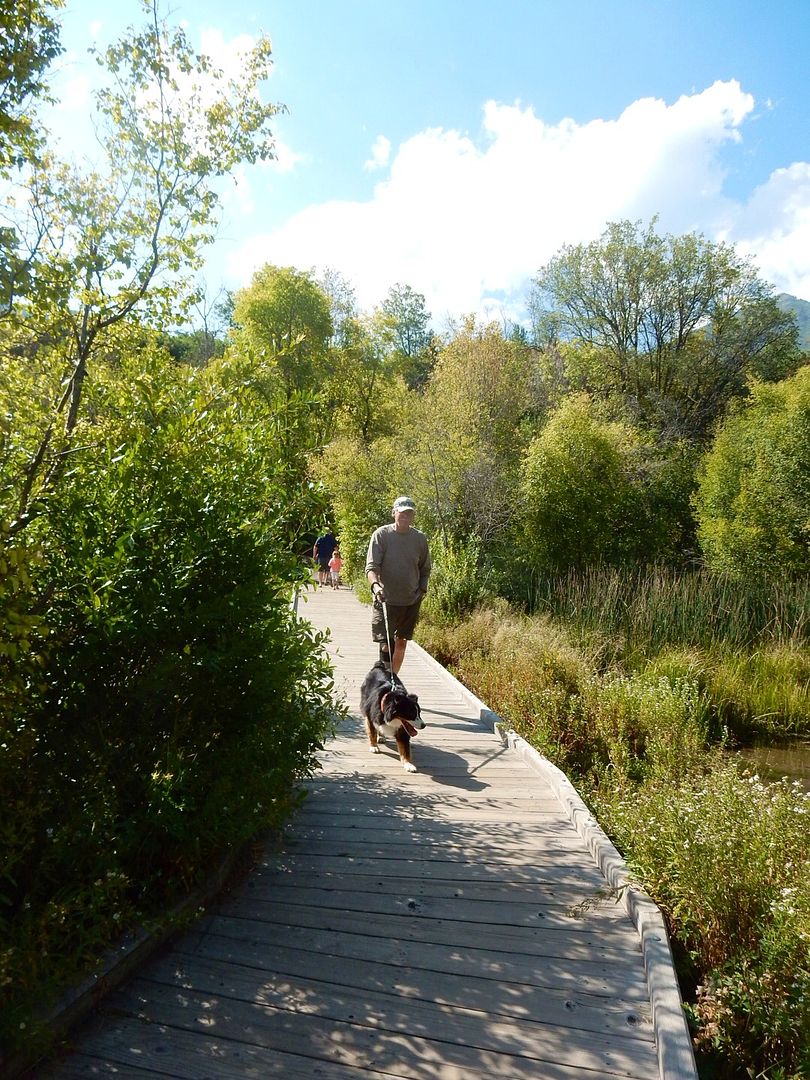
There are paved trails and wooden boardwalks that form three loops (about 15-minute walk for each) for the upper, middle and lower areas of the springs. These cover the major flow areas of the springs. This place is dog-friendly, so we were able to bring Sadie along with us.

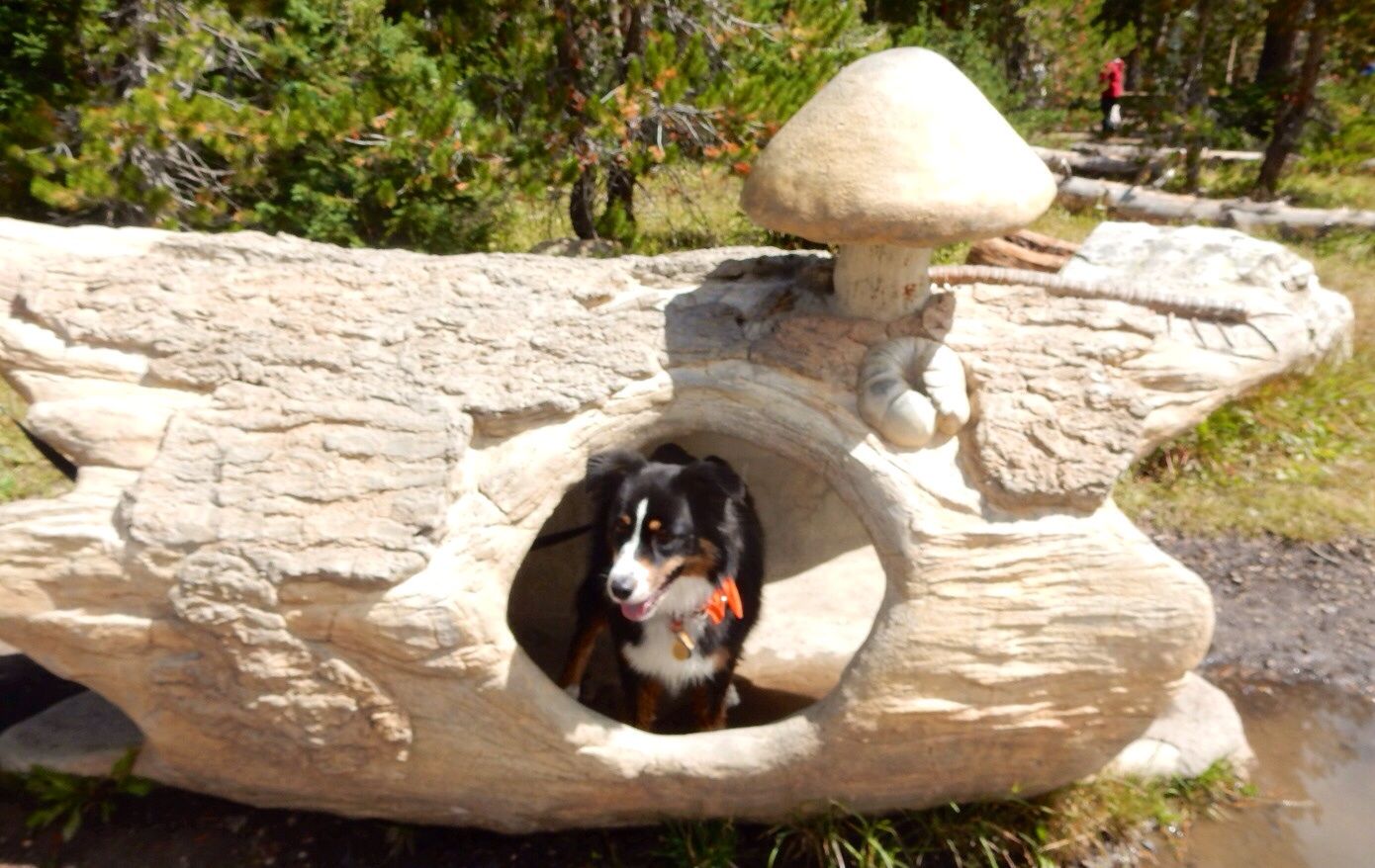
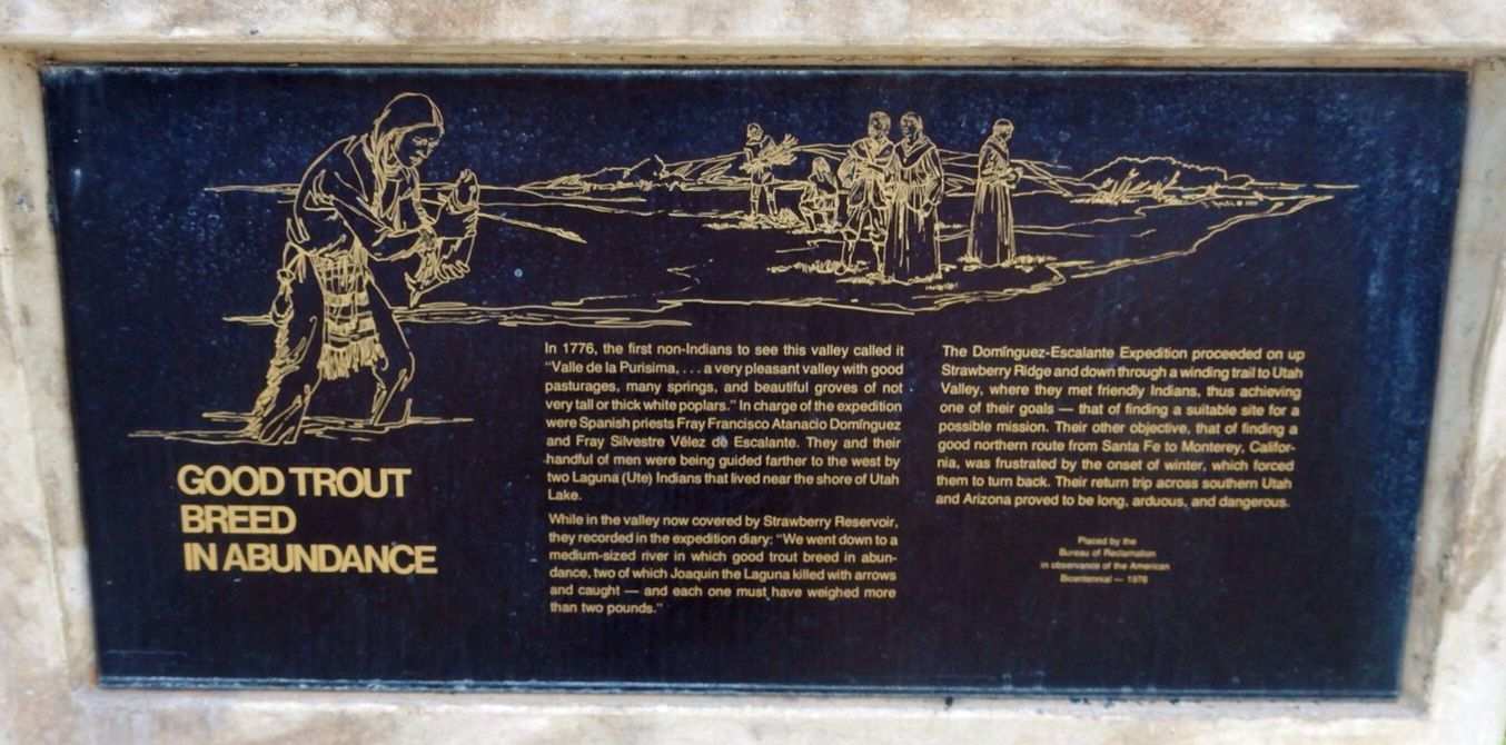
Sadie, checking out the information about the Cascade Springs.

Lower area.


Middle area.

Upper area.


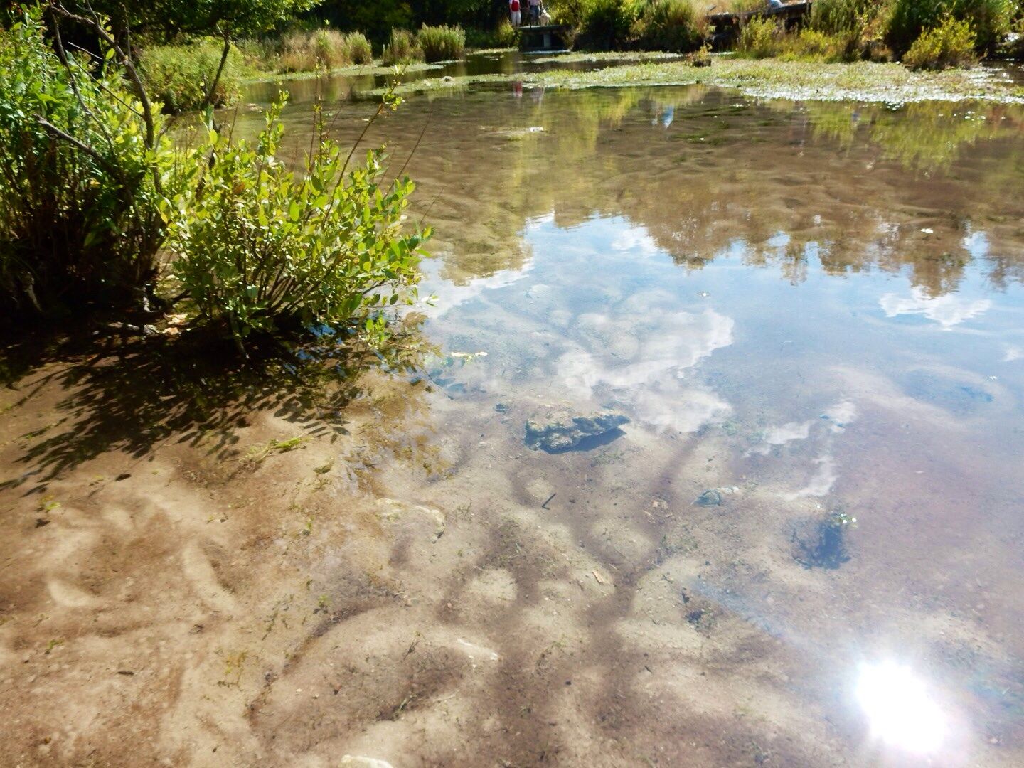
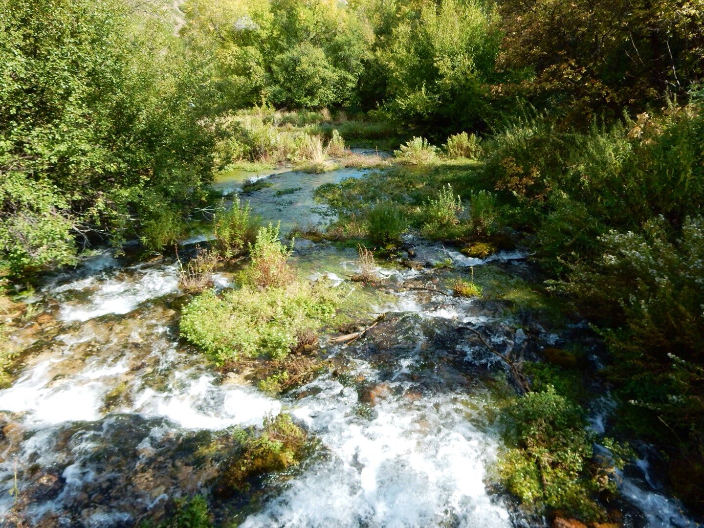
The most popular and easily accessible area is the lower loop.


Don't miss the opportunity to see this beautiful area of the national forest if you are in the area. It is very peaceful and serene with benches scattered throughout the trails. There are interpretive signs throughout explaining the geology, plant life, and wildlife in the area.

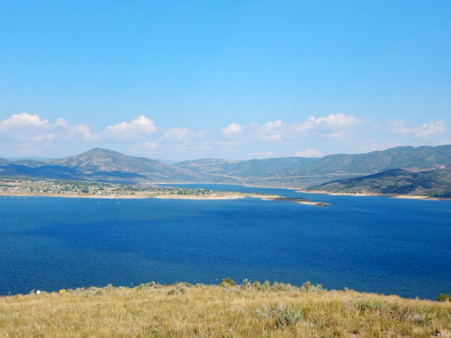
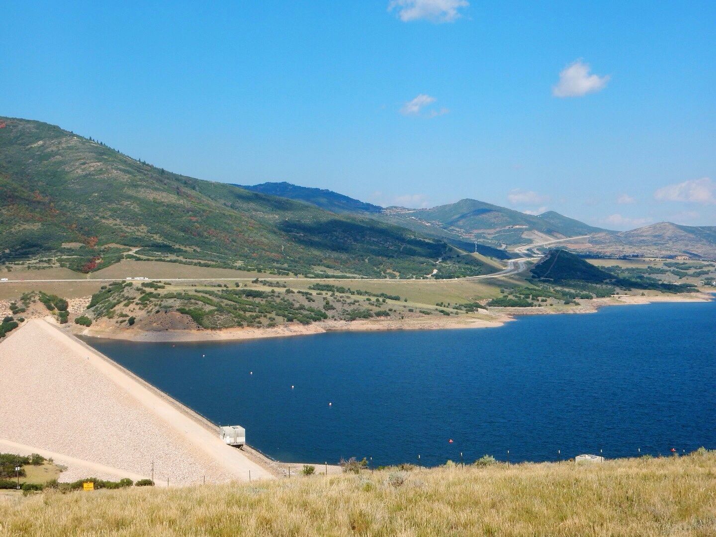
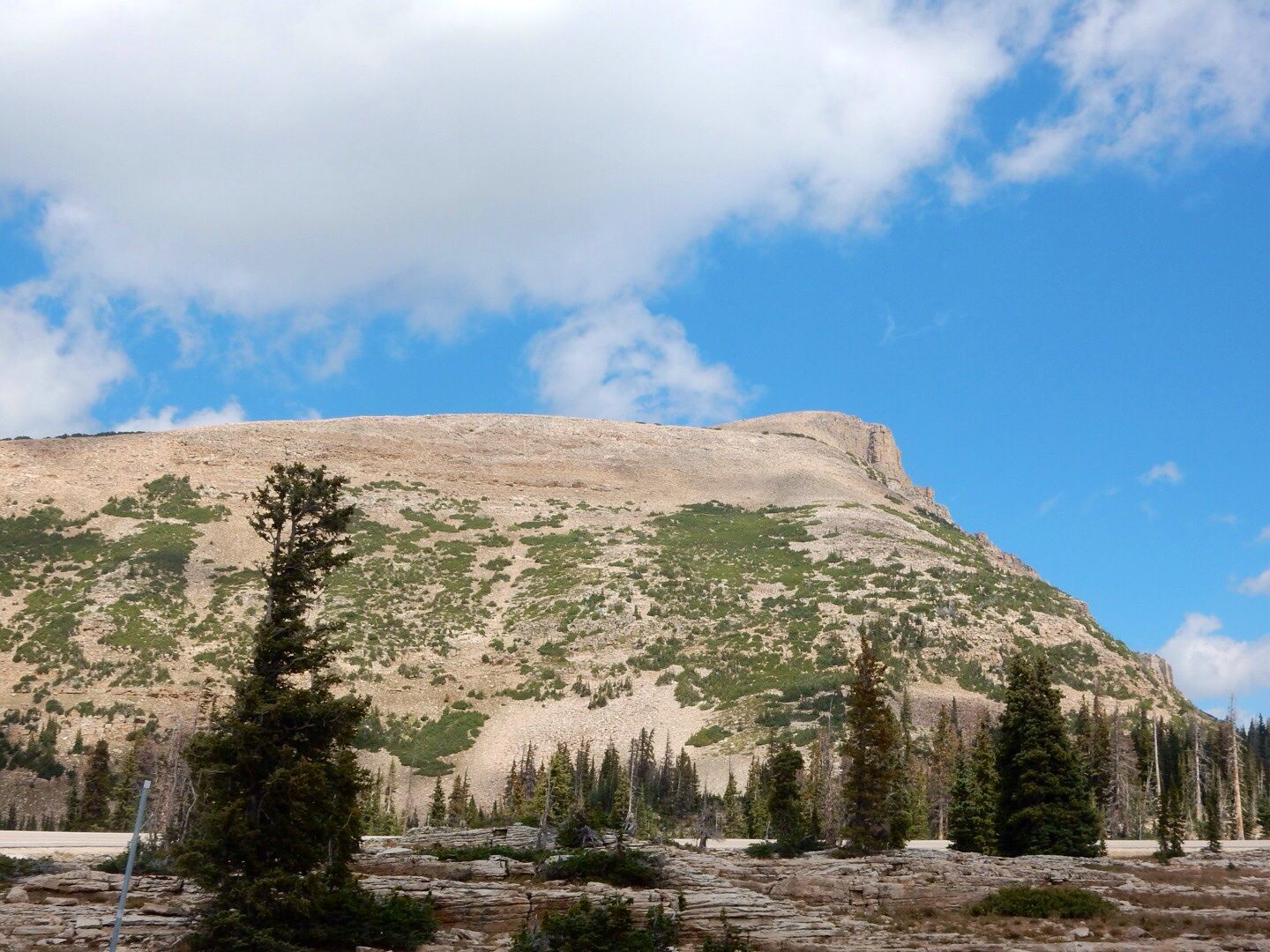
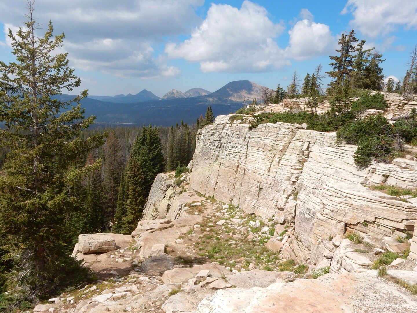
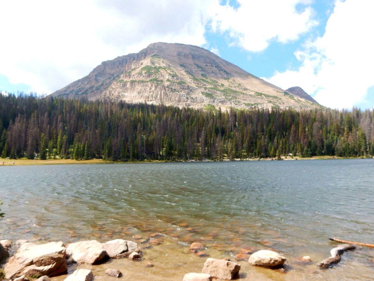
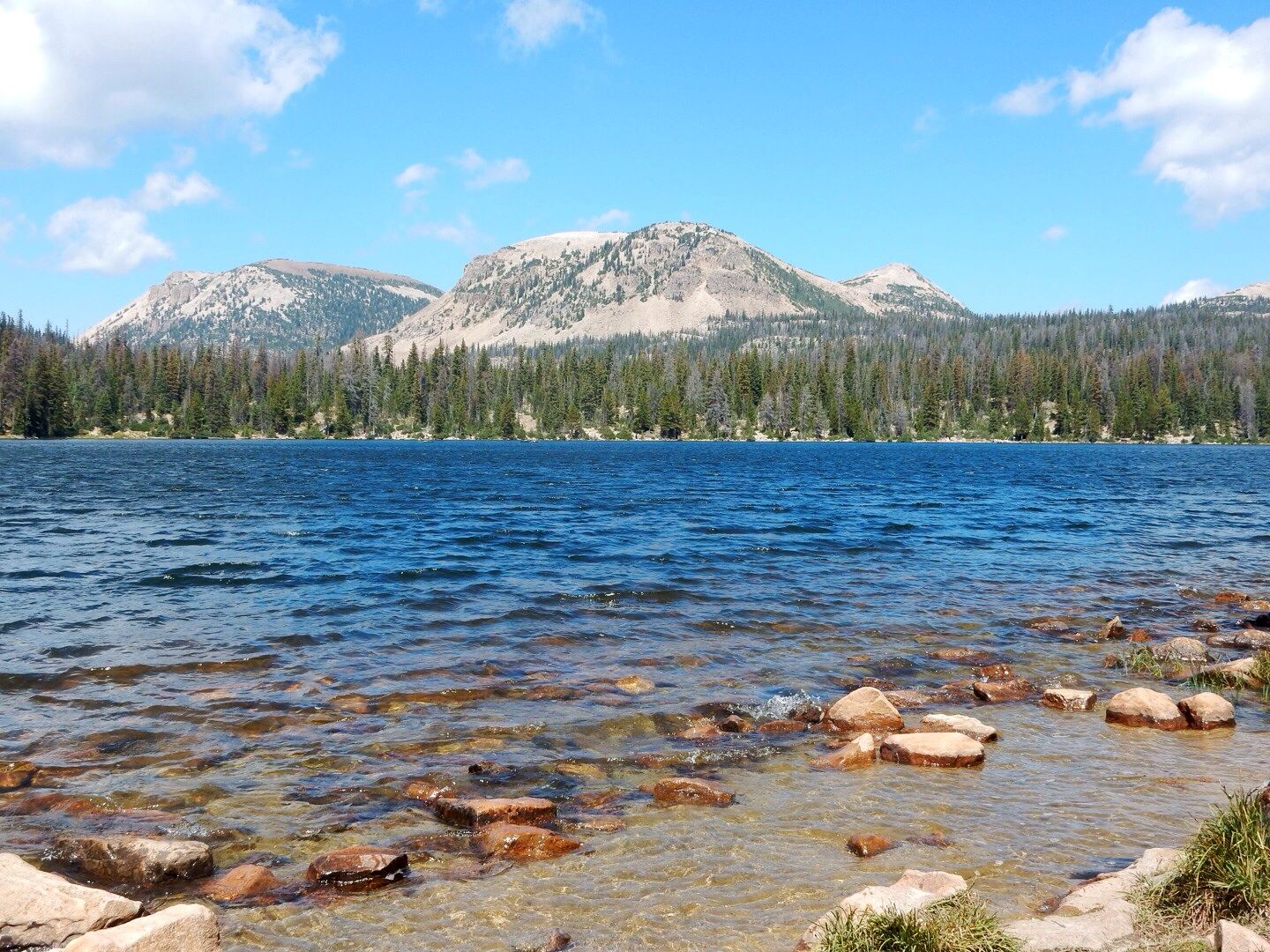
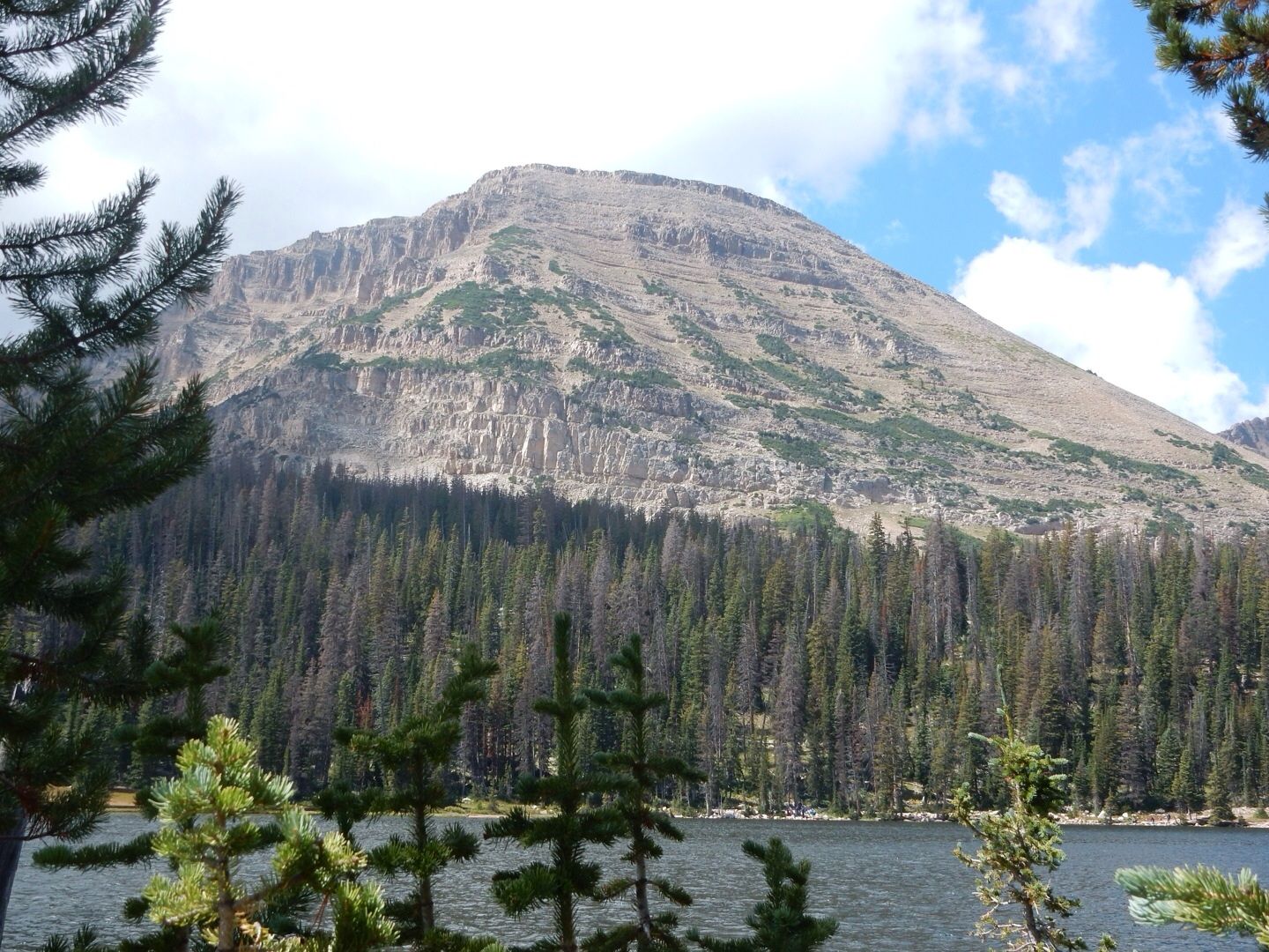
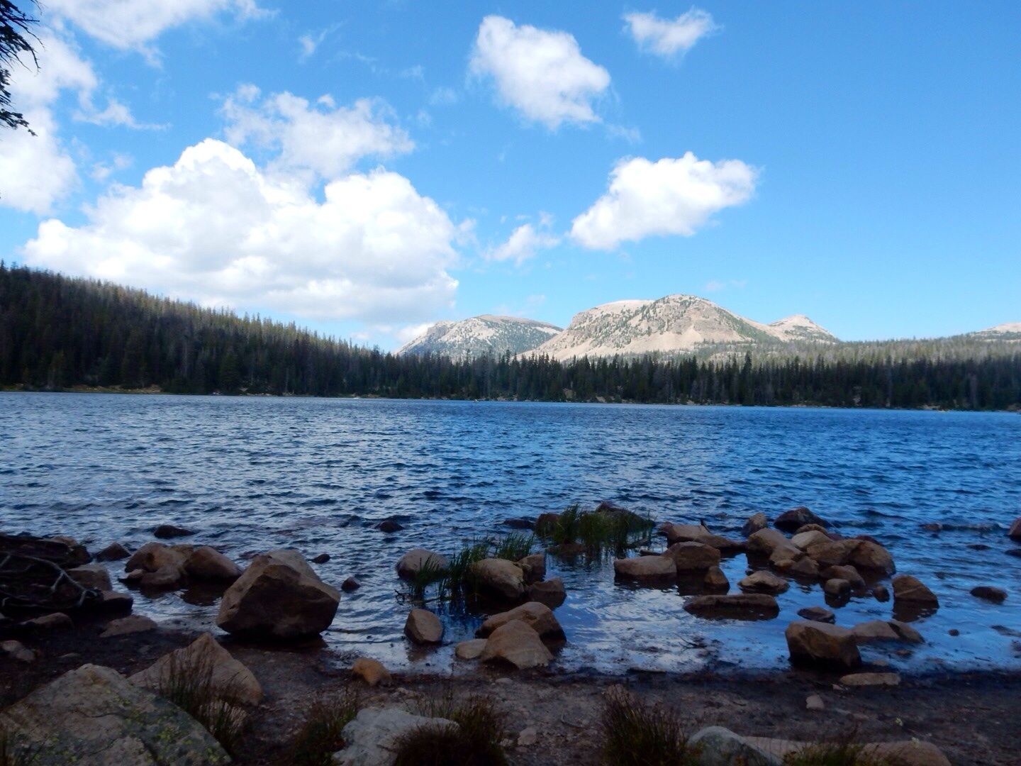
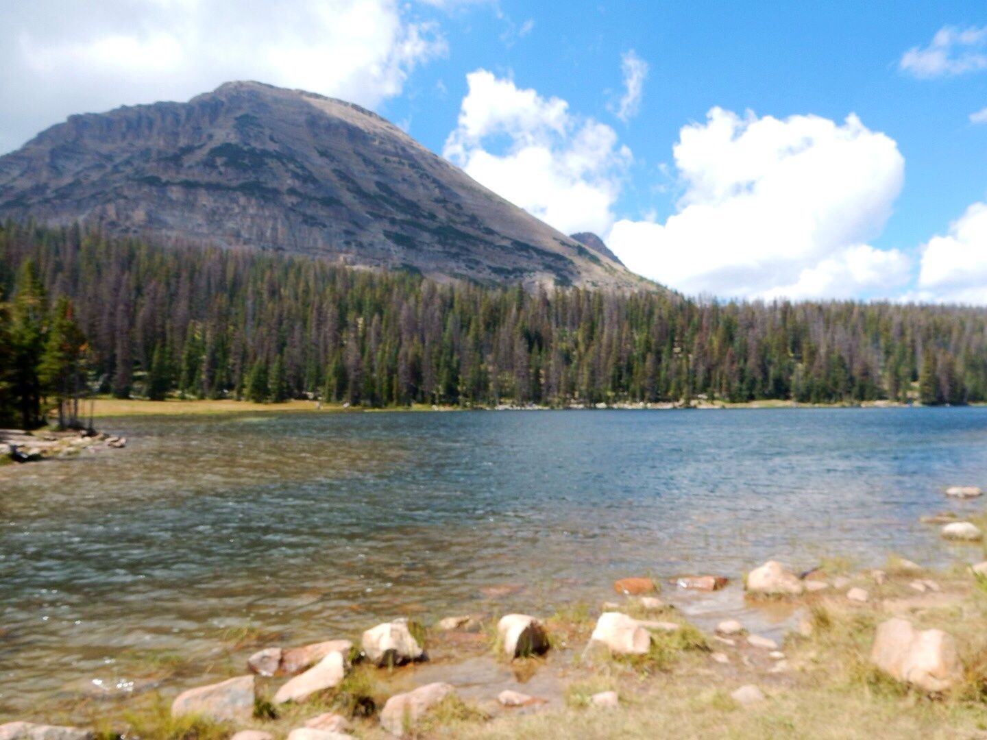
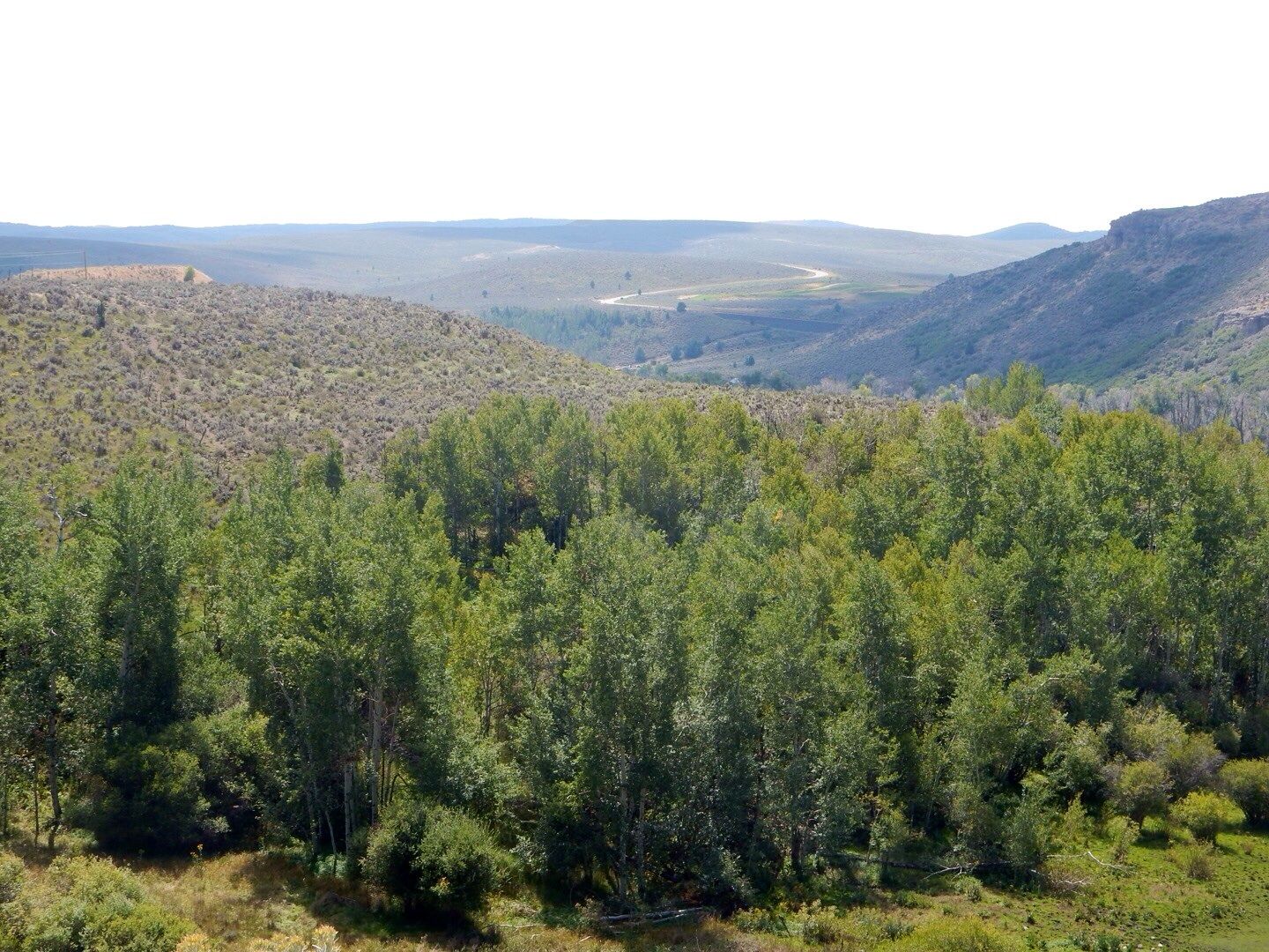
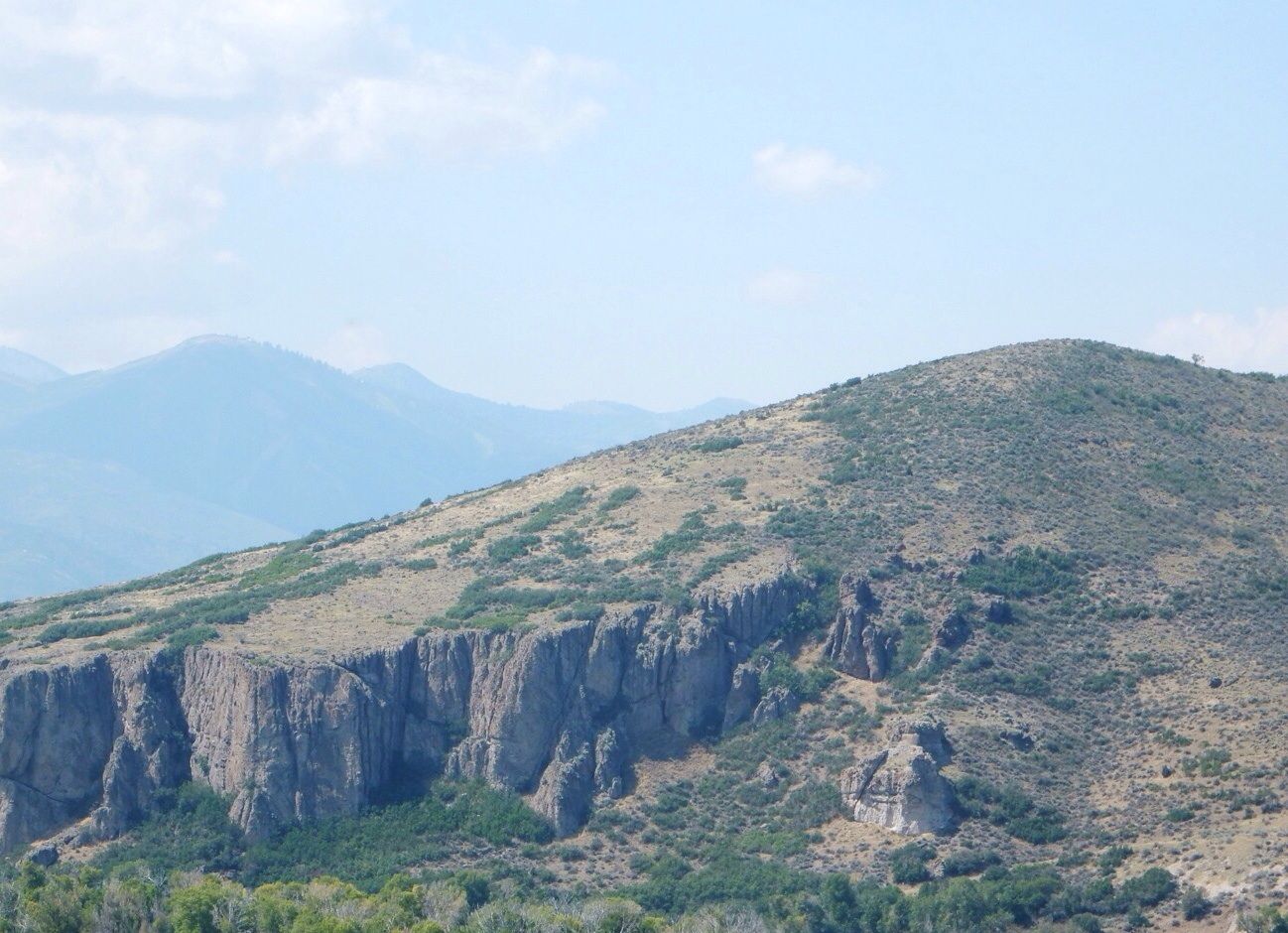
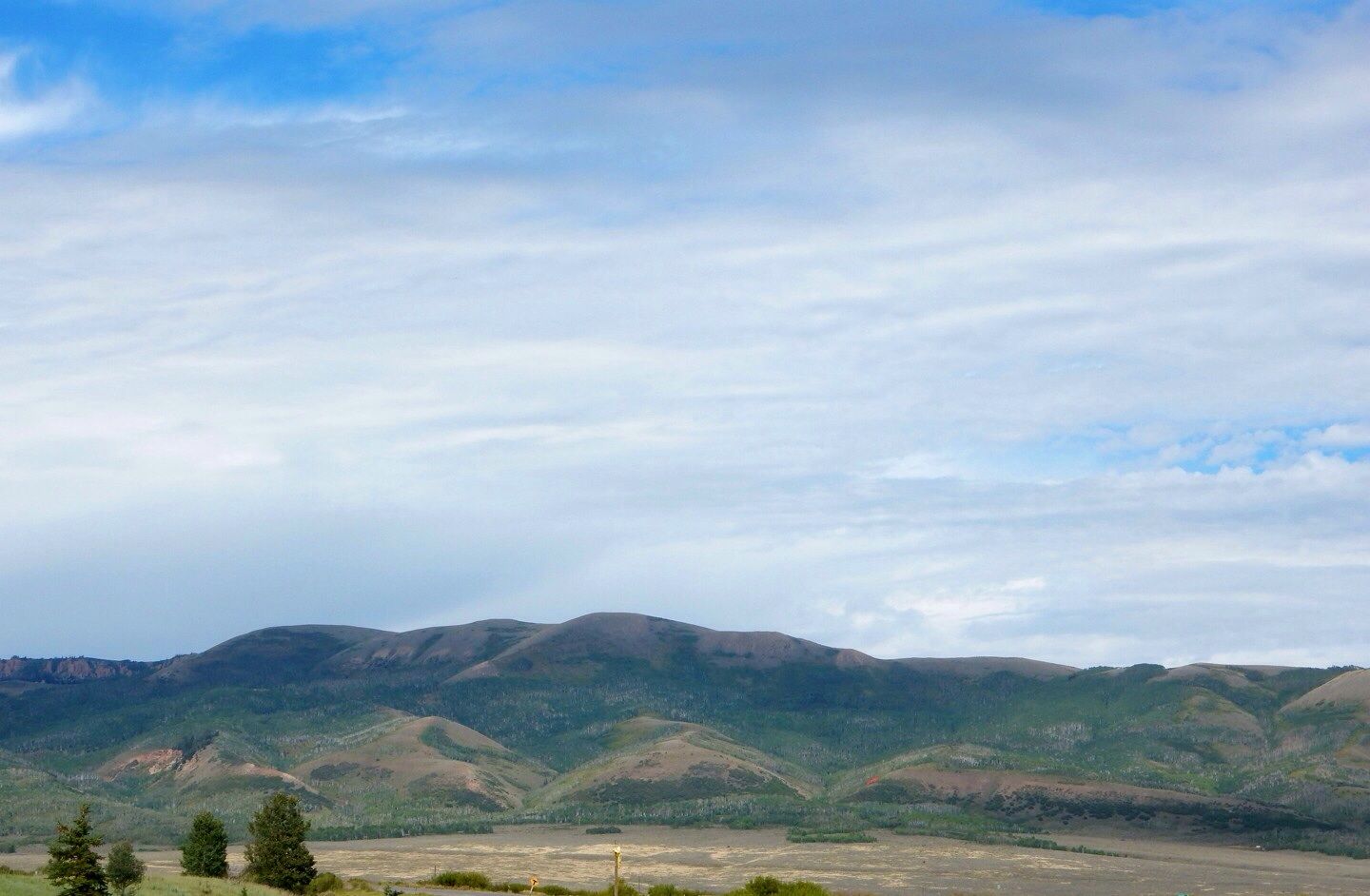
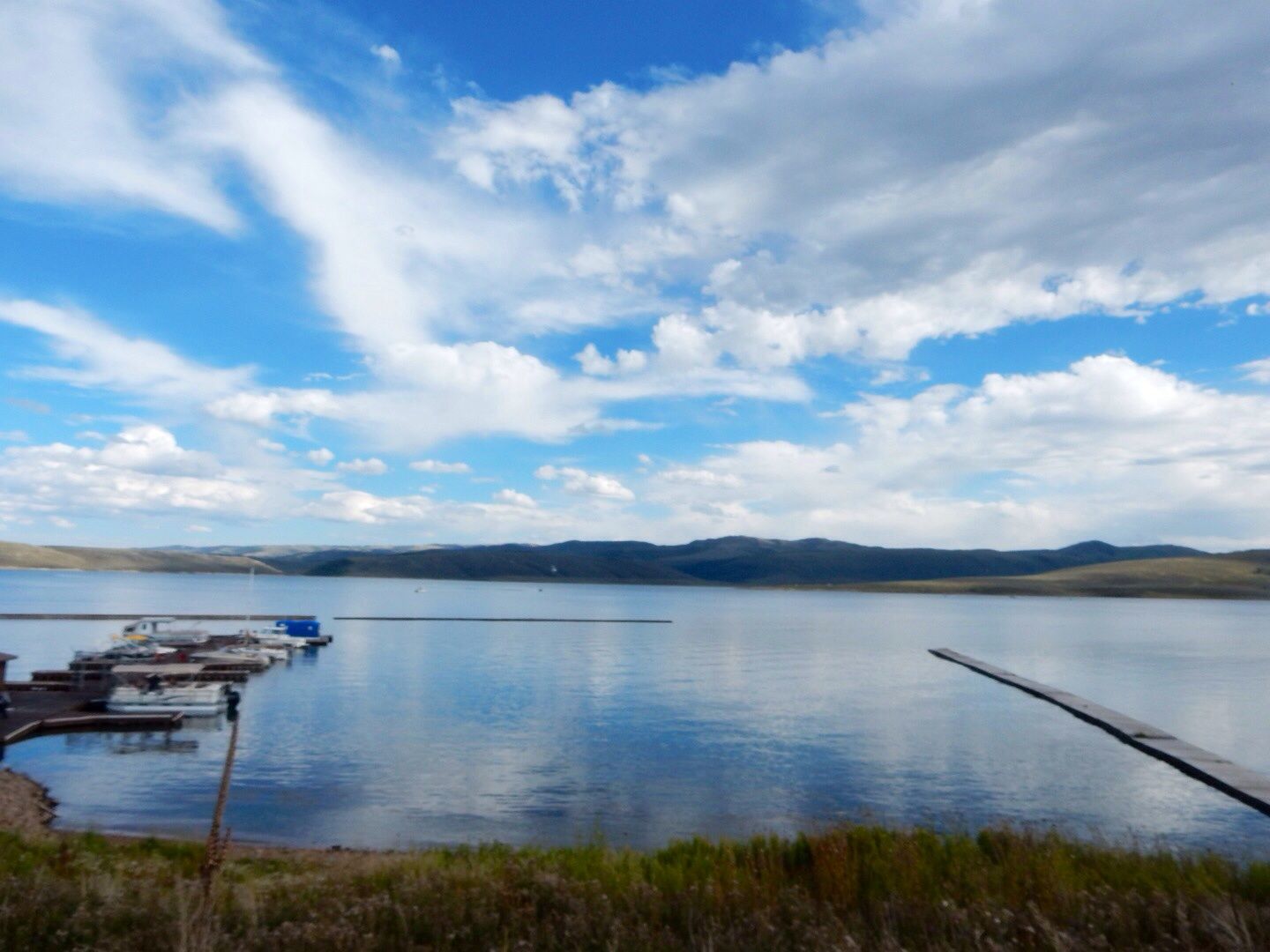
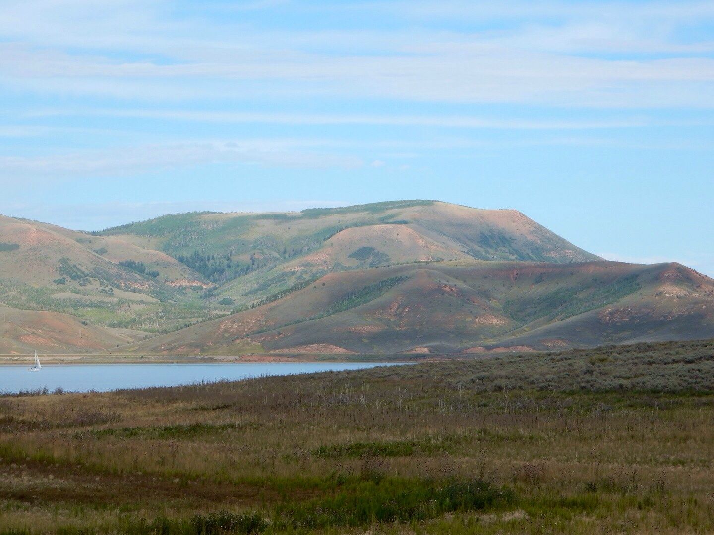
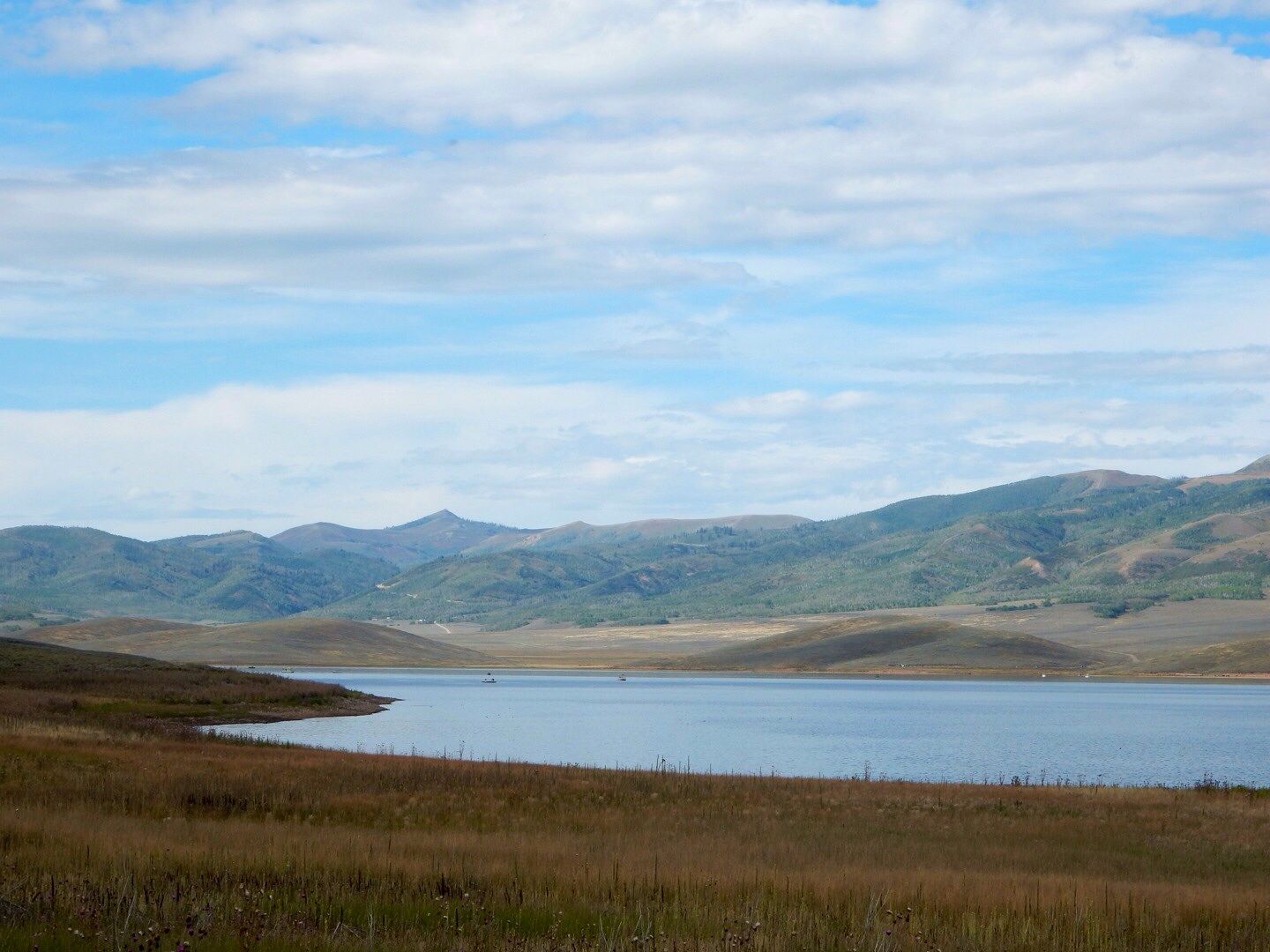
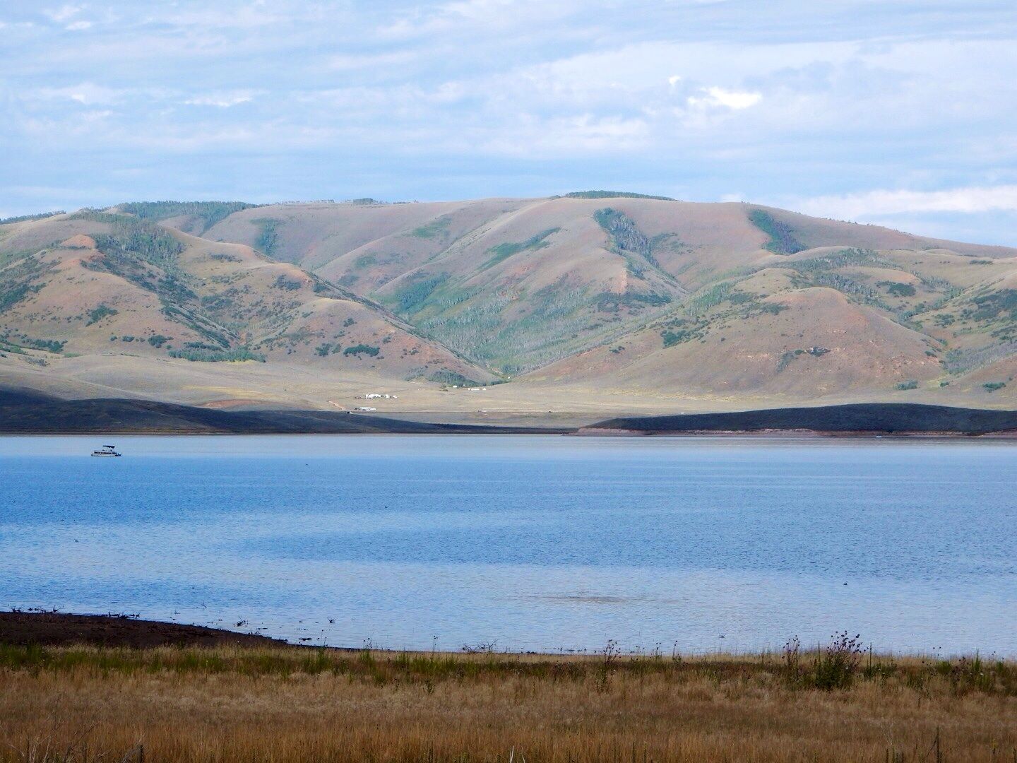
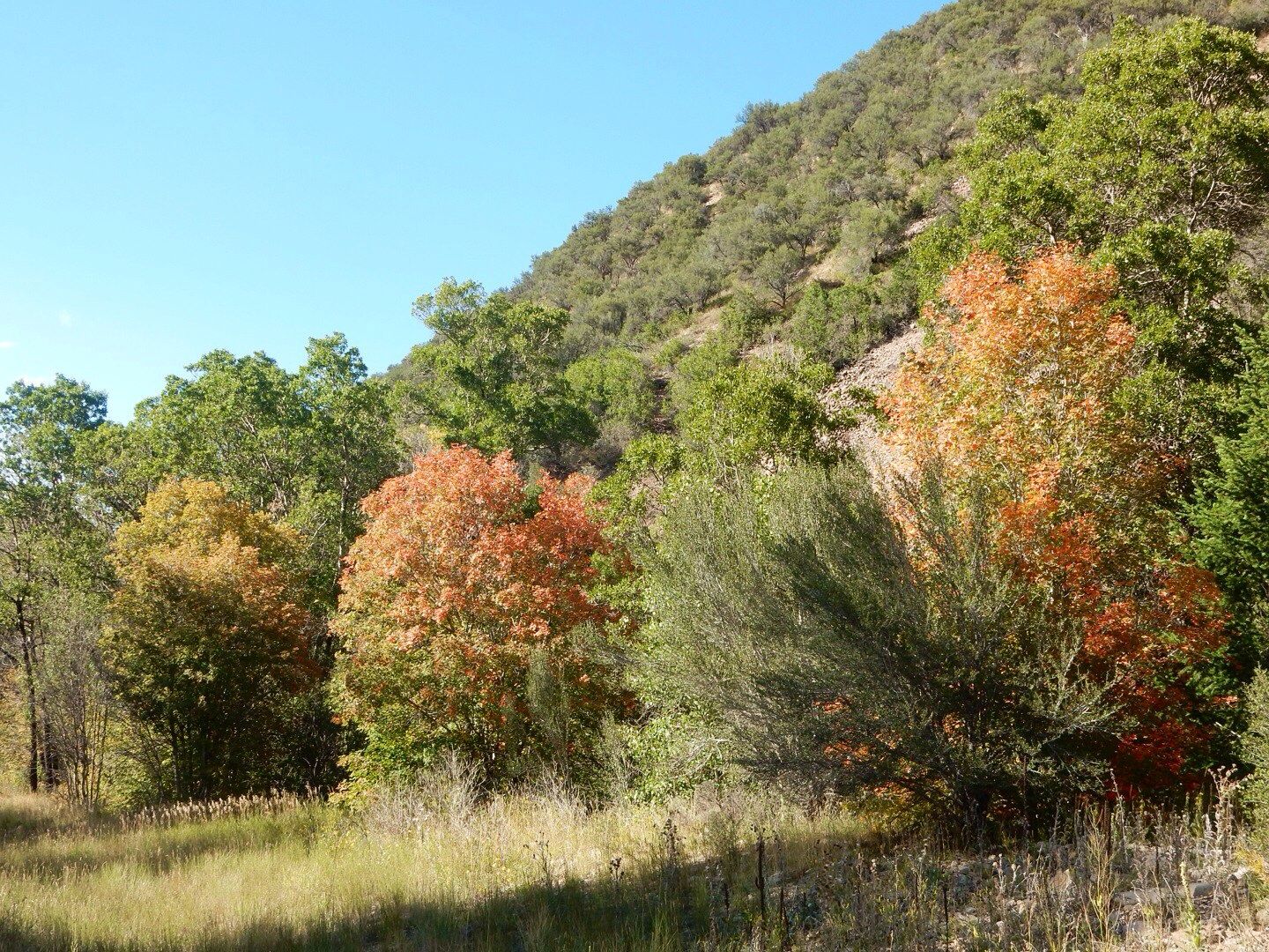
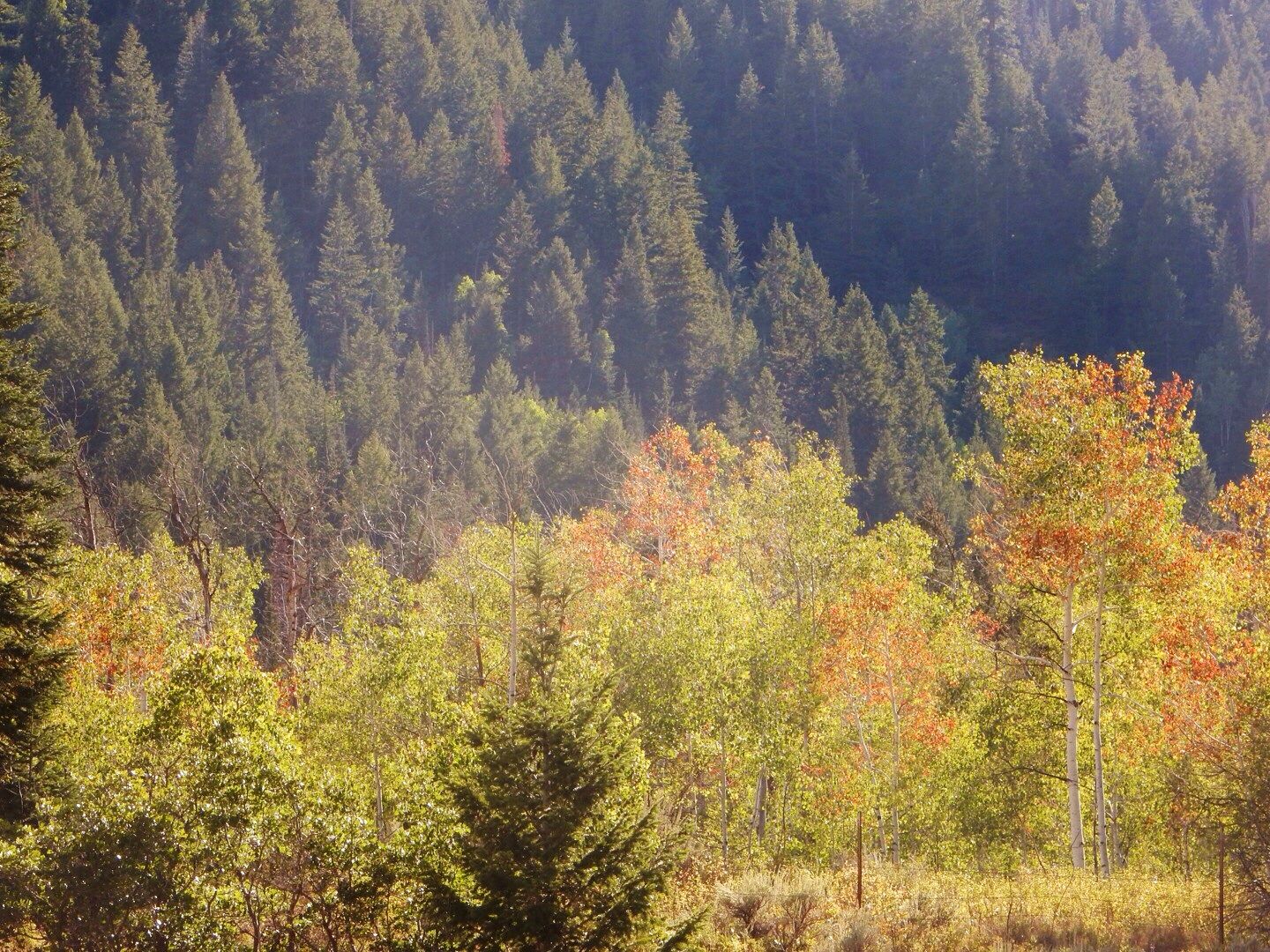
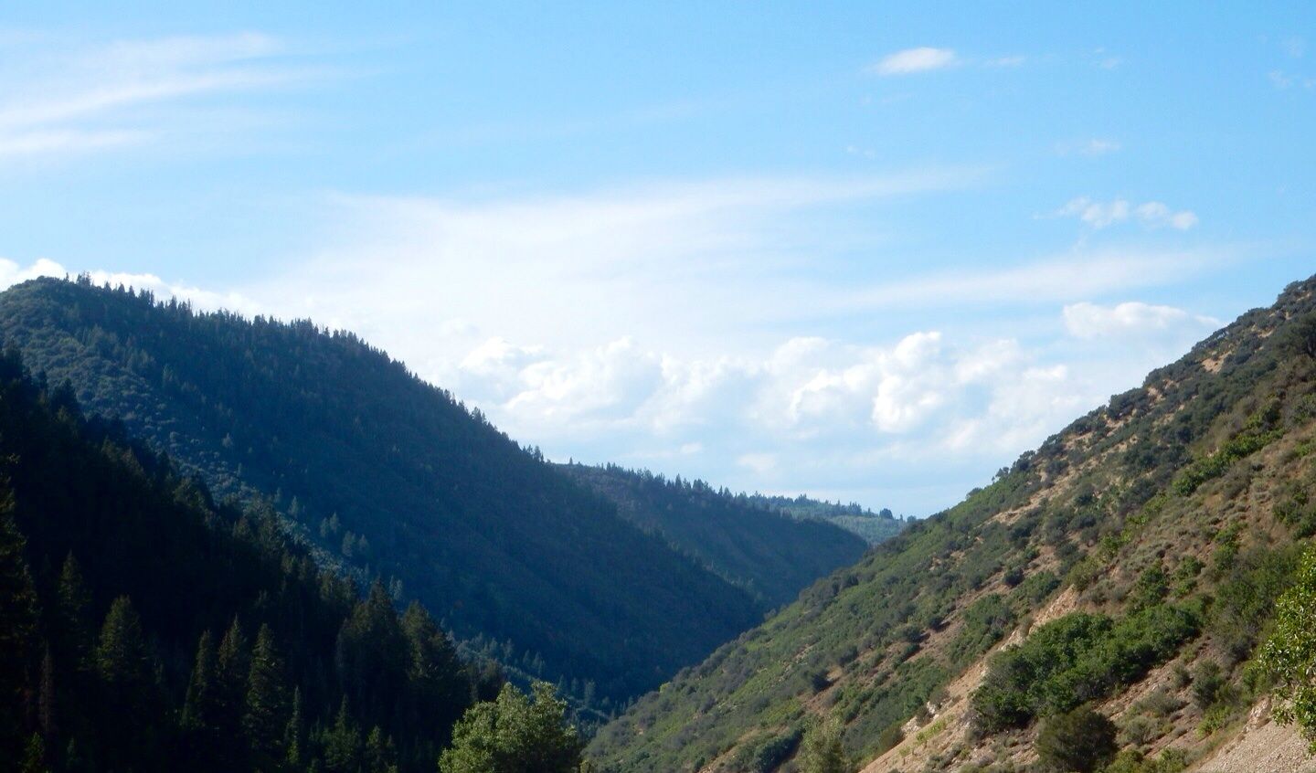
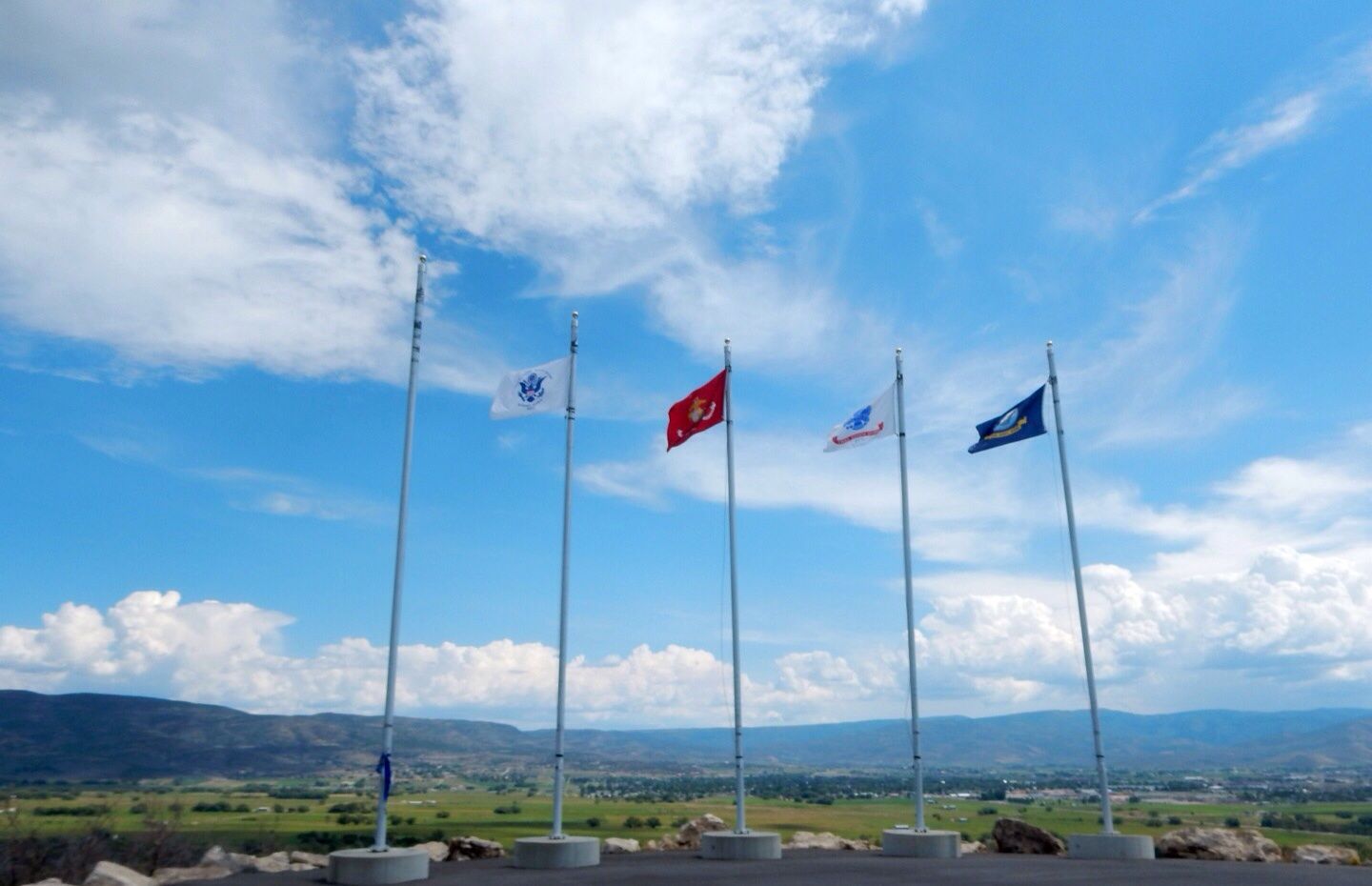
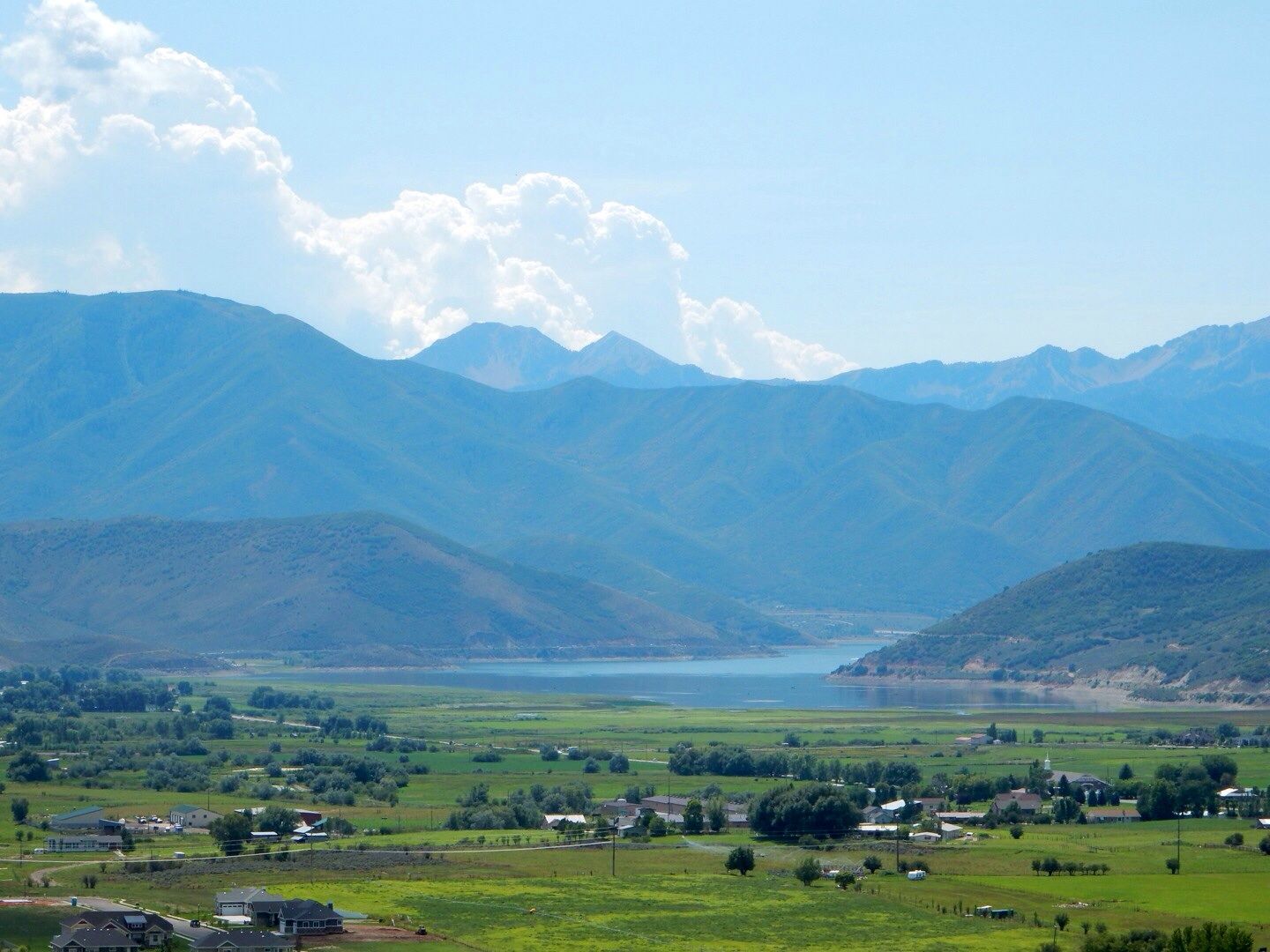
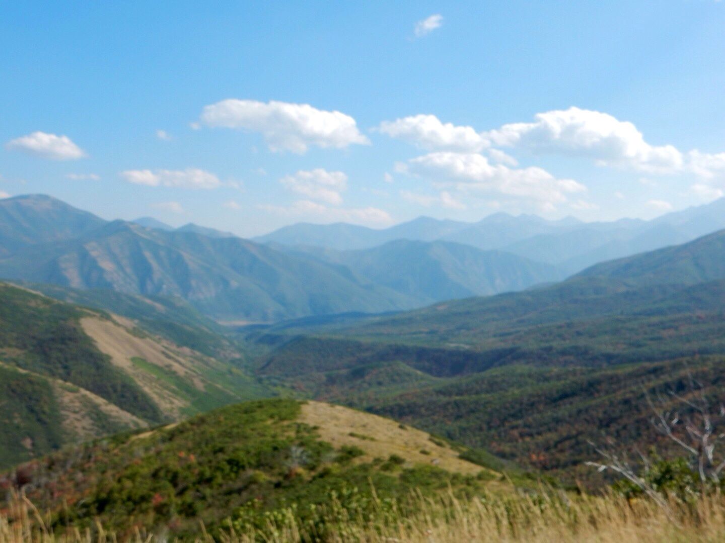
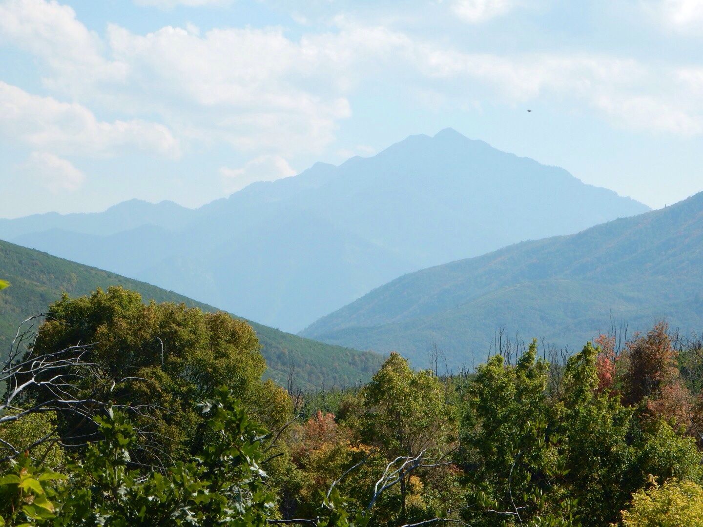
The views of the mountains on the drive out of the forest were stunning as well.


For directions (this area can be approached from either the east or the west), see the website. The area  closes at dusk.

Website:  www.fs.usda.gov/recarea/uwcnf


Mirror Lake Scenic Highway - 8/31/14

Today we took a drive to Mirror Lake via Highway 150 from Kamas, UT (about 18 miles NE from where we are staying). We made a few stops en route to the lake described below.

Jordanelle Reservoir:  The reservoir is in Wasatch County north of Heber City and can be seen along Highway 32. It is fed primarily by the Provo River.


The earthen dam (on left in photo below) built in 1993l A state park was opened in the surrounding area in 1995.

Upper Provo Falls:  At the 24 mile marker on Highway 150 is a parking area that provides access to the trails to the falls. There are 3 impressive cascades in this area that provide a spectacular display! We came across this beautiful location by chance and loved it!


Mule deer sighting.

Bald Mountain Overlook. Located between the Upper Provo Falls and Mirror Lake on Highway 150, we stopped here for photos of the beautiful scenery.


Mirror Lake: Located at 31.5 mile marker on Highway 150, Mirror Lake is a popular fishing and recreation area in the Uinta Mountains. Three types of trout can be caught in the lake: rainbow, brook, and tiger. The Lake was named for the beautiful reflection of the surrounding mountains and trees that can be seen in good weather (it was windy today when we were there). At 10,000' above sea level the temperature here was 49 degrees (and 72 degrees in Heber City!)  Bring a warm jacket when visiting.

Forest around the lake.


Sadie had fun, too!


Mountain views on the way back to Kamas:

Autumn leaves!

The Mirror Lake Scenic Byway is in the Uinta-Wasatch-Cache National Forest. The day use fee is $6.00 per vehicle (good for three days). It was a beautiful drive!

Website:  www.fs.usda.gov/recarea/uwcnf


Saturday, August 30, 2014

Strawberry Valley - 8/30/14

The Strawberry Reservoir is located about 20 miles south on Highway 40 of the Mountain Valley RV Resort where we are staying and is within the Uinta National Forest. The area was first explored by Europeans in 1776 during the Dominguez-Escalante Expedition in 1776. Below is a plaque at the Visitor Center.

View of the valley from the Visitor Center.


The Uinta National Forest was initially part of the Uinta Forest Reserve so designated in 1897 by Grover Cleveland. The name is derived from the Ute word for pine forest. The Uinta National Forest merged with the Wasatch-Cache National Forest in 2007.

The original dam was built in 1922 by the U.S. Reclamation Bureau. In 1972 a larger dam was built by the bureau about 8 miles upstream expanding the reservoir to 4 times the original size of 283,000 acre-feet. Today, the Strawberry Reservoir is one of the best trout fisheries in the western United States where trophy-sized  rainbows and cutthroats are found.

Views at Strawberry Bay Recreation Complex.

Marina on left.
Osprey on mast.
Additional views.


Wildflowers.

En route back to Heber City, we stopped at Daniels Summit where there is a lodge, restaurant, general store, and gift shop. Loved the huge bear at the entrance to the lodge.


Beautiful log home with large aspen stand located across the road from the lodge.


Continuing north on Highway 40, we noticed that the leaves here are already starting to change!


Autumn will be here soon!

Final shot of valley.

This was a quick scenic drive and we enjoyed seeing the reservoir and marina. Of course, that always makes John yearn for our boat, Destiny, that we had on the Chesapeake Bay (and sold when we decided to become full-time RVers).

The Uinta-Wasatch-Cache National Forest is huge, 1.6 million acres, primarily in Utah (81.2%), Idaho (16.4%), and Wyoming (2.4%). We hope to see more of it before we depart Tuesday for the Grand Canyon.

Website: www.fs.usda.gov/uwcnf

Quote - on life (and love)

Sign we have hanging in our motor coach ... 


Dedicated to my wonderful husband, John.

Friday, August 29, 2014

Midway (UT) Swiss Days - 8/29/14

We saw signs promoting Swiss Days when we arrived in Heber City a couple of days ago. A (new) friend that we met at the RV park told us about the local festival that is held annually in a town about 5 miles NW of here and was scheduled for August 29-30 this year. Today, we decided to check it out.

Midway is a beautiful high mountain town with a population of approximately 2,100. It was settled by a large number Swiss immigrants in the 1860s and 1870s with primary industry being livestock and farming. 

The Town Hall building was completed and dedicated in 1941.


In the late 1940s, local farmers and ranchers would come together o celebrate the bountiful harvest and the annual "Harvest Days" festival began. Subsequently it became known as Swiss Days to commemorate the settlers' homeland, Switzerland. Today, about 60,000 people attend the event.


Swiss Days encompasses: a parade (10:00 am); a 10k Race; entertainment (musical productions, performers, etc.); craft, jewelry, art, and clothing booths (about 180 vendors this year); wide array of food and drink vendors.


Swiss Tacos were popular!


We enjoyed walking about this lovely town, checking out the booths, listening to the music performances. The architecture definitely has a Swiss flavor to it! Check out these residences.


Rising above the town, we noticed a structure at the top of  a hill with flags flying high. We decided to find a way to the top to see what it was. We learned that this is Memorial Hill and is a memorial to all veterans of Wasatch County.

Flags of the branches of the military (Coast Guard was missing from the pole on the left).

The memorial.

Plaque recognizing those who envisioned the memorial and made it a reality. 


There are plaques with alphabetical listings of those who served in all US wars including the identification of those who were KIA. Here is a photo of John next to the Vietnam plaque.

Final Tribute.
Views from the hill.


The beautiful scenery helps create the wonderful serenity of this memorial site. This is a wonderful tribute to those who served from this area. We were so glad we came across it today.

Website:  www.midwayswissdays.com

Website: www.memorialhillrestoration.com