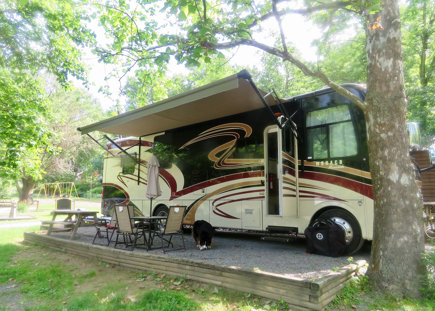
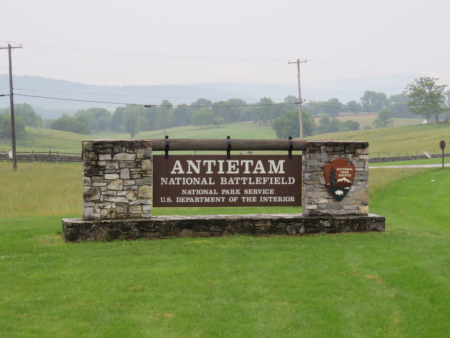
When we planned a stop in Hagerstown, visiting the Antietam National Battlefield was at the top of the agenda. It is located in Sharpsburg, MD, about 20 miles from the KOA (where we were staying).
The museum at the Visitor Center tells the story of the battle through a video in the theatre and exhibits.
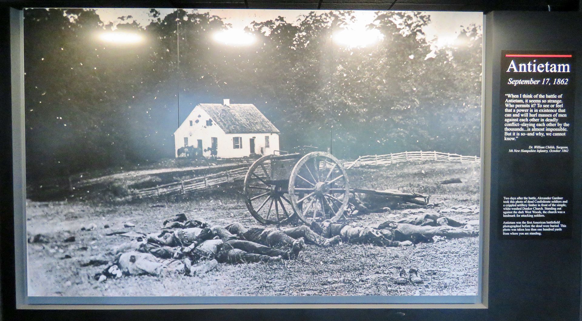
The Battle of Antietam was the bloodiest one-day battle of an American war with 23,000 casualties. It was the first American battlefield that was photographed before the dead were buried.
In 1933 the park was transferred from the War Department to the National Park Service. At that time the park was comprised of 65 acres. Since becoming a national park, the mission has been to preserve and protect the battlefield and restore the landscape to its September, 1862, appearance. It is now 3,000 acres.
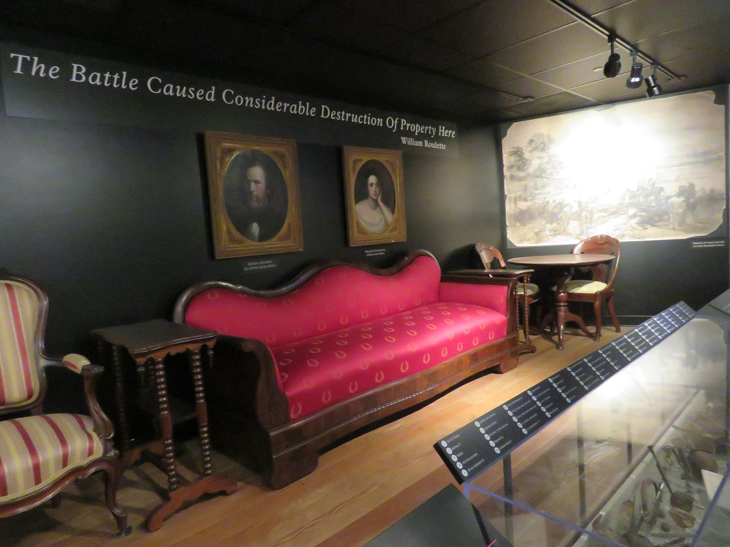
There was significant damage to property during the battle. The Roulette's home and barn were used as hospitals for the wounded. Seven hundred dead were buried in the fields of their farm.
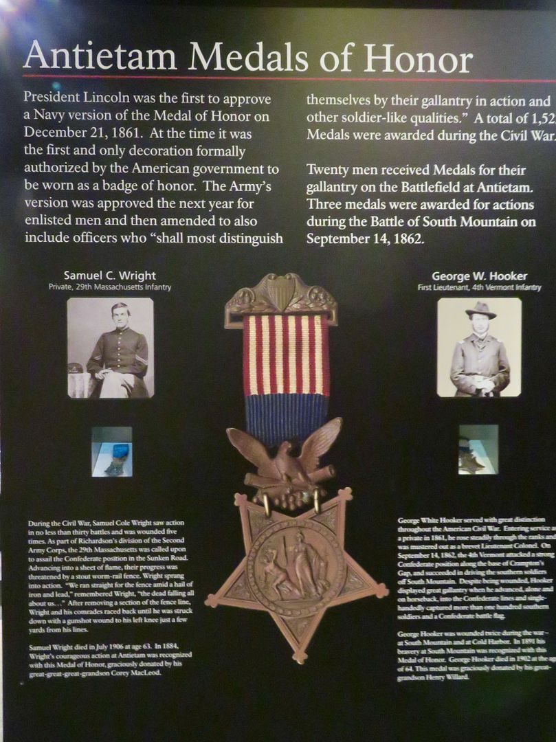
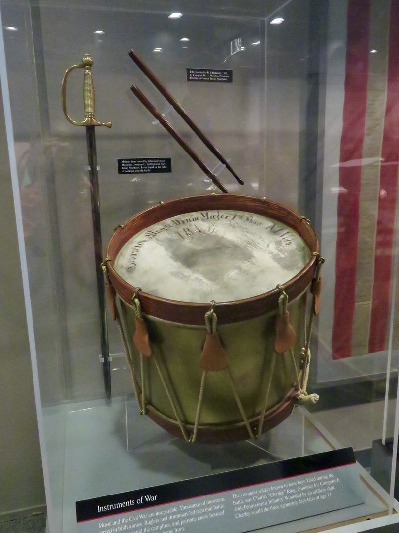
The Medal of Honor was approved by President Lincoln in 1861. Twenty men received the Medal for their gallantry on the Battlefield of Antietam. Also shown is a drum used during the battle.
Large murals depict the different phases of the battle.
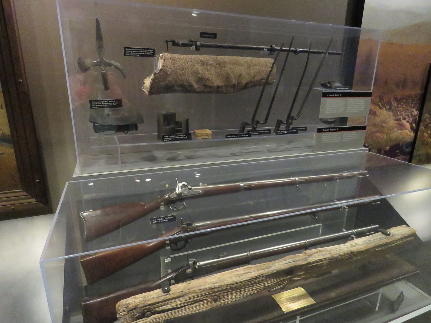
Rifles and bayonets used in the battle are displayed. This is a US Springfield Rifle Musket caliber .58 model made in 1861.
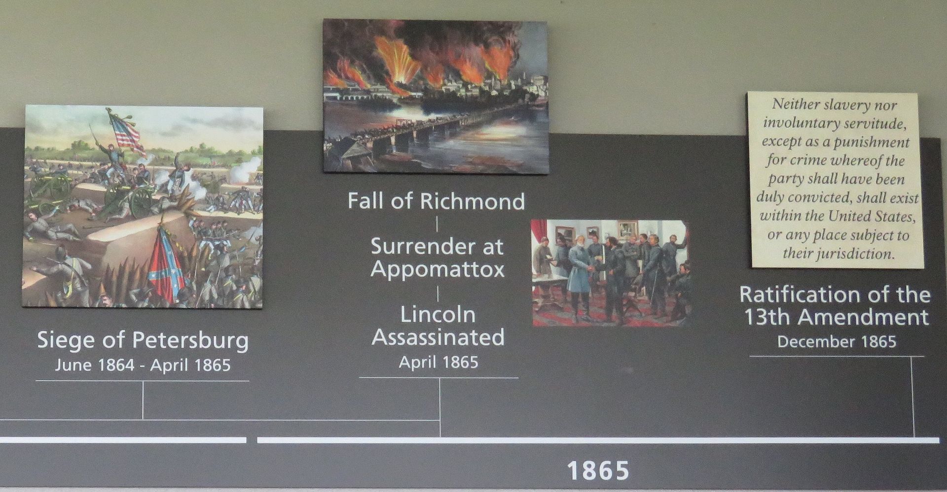
Below is a timeline of the major battles of the Civil War.
In the days preceding the Battle at Antietam, Confederate General Robert E.
Lee, issued orders to
divide his forces into
three groups: General
Longstreet to
Hagerstown, MD; three columns to
Harpers Ferry under General Stonewall
Jackson; and the third group to guard
South Mountain led by General
Hill. Union General
McClellan led the
Army of the
Potomac to
Frederick, VA,
on September 12. The following day a Union soldier found a
copy of
Lee's Order 191 containing his plan of operations. The soldier promptly took the document to McClellan. With this information in hand, McClellan realized this was the
time to
strike the
divided forces. When Harpers Ferry fell, General
Lee revised the
plan to make a
stand at
Sharpsburg, MD,
on September 15. The Battle of
Antietam occurred two days later,
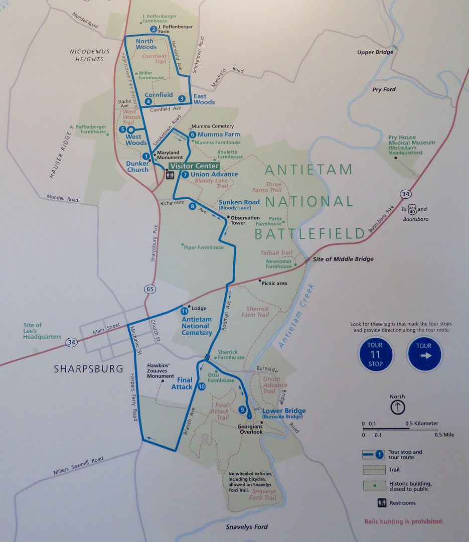
September 17. Below is a map of the deadly battle.
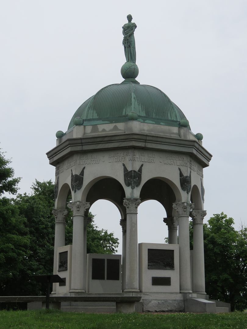
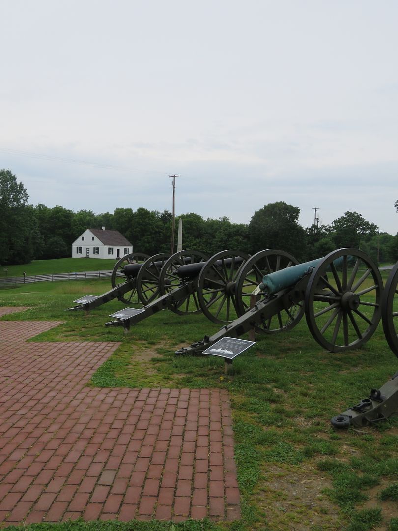
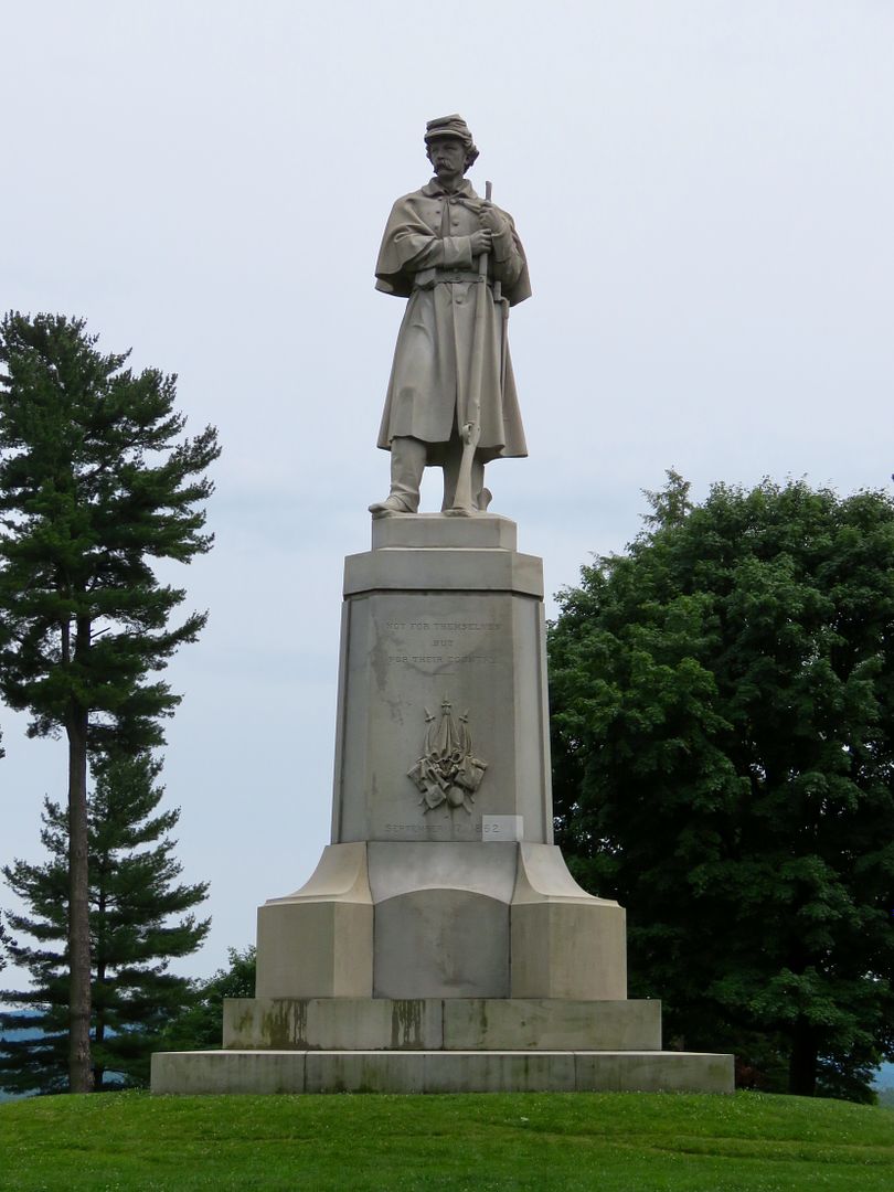
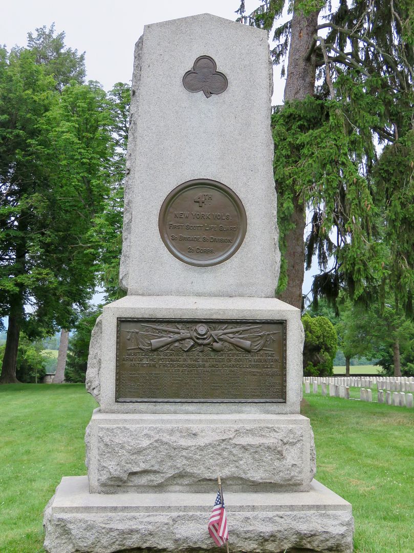
We did a combination of a walking and driving tour of the area. Like other national battlefields we have visited, there are many memorials located throughout the park. They were built by veterans of the battle and states to commemorate their sacrifices. Most are located where troops fought during the battle. Below is the Maryland Monument, NY State Monument, and 20th New York Volunteers Monument.
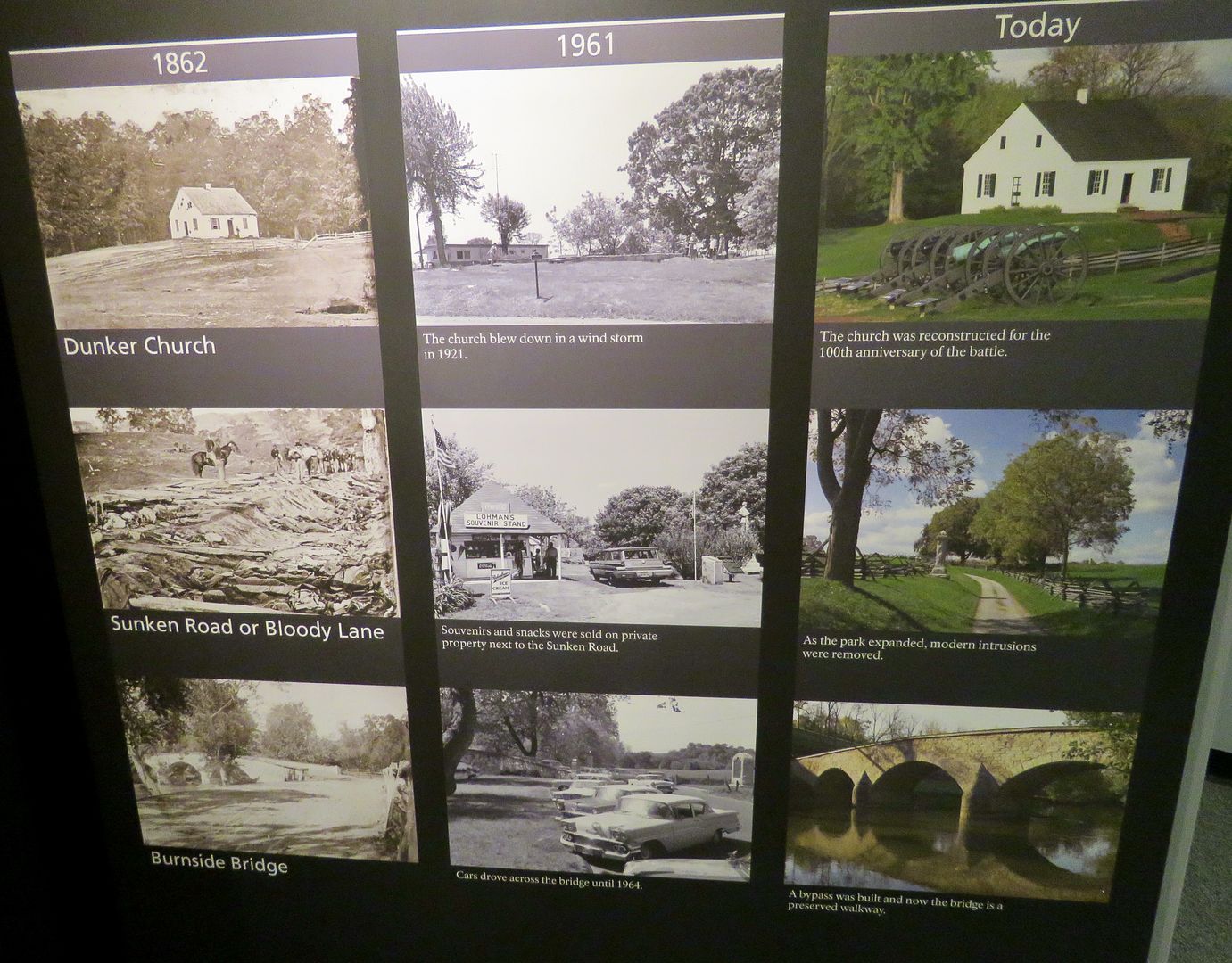
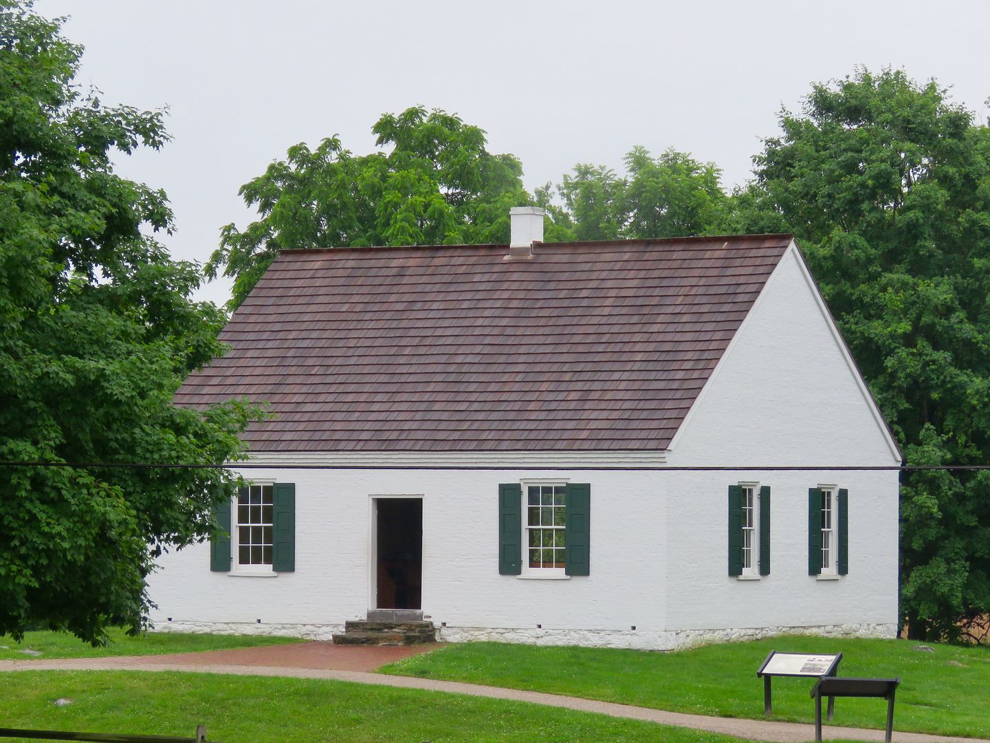
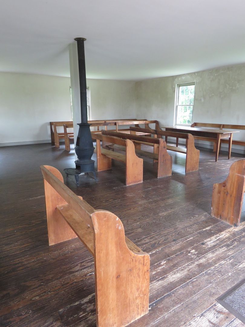
Dunker Church, built in 1852, was used by the pacifist German Baptist Brethren. It was a focal point for Union attacks the morning of the Battle of Antietam.
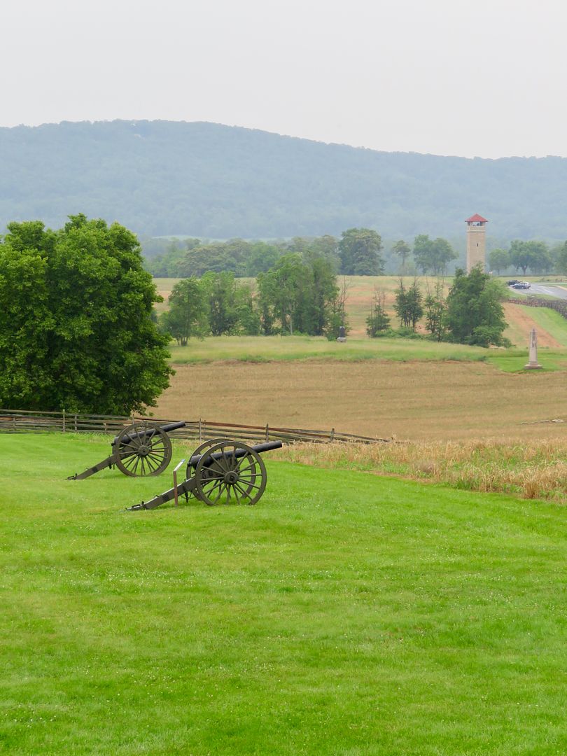
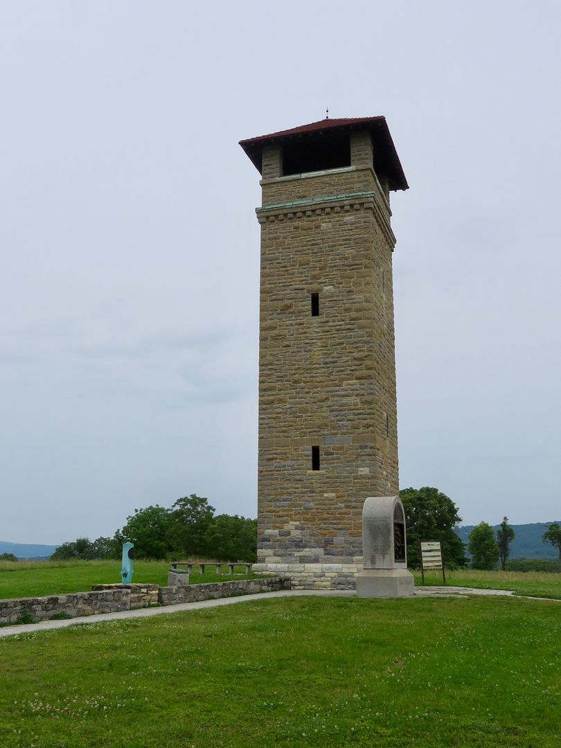
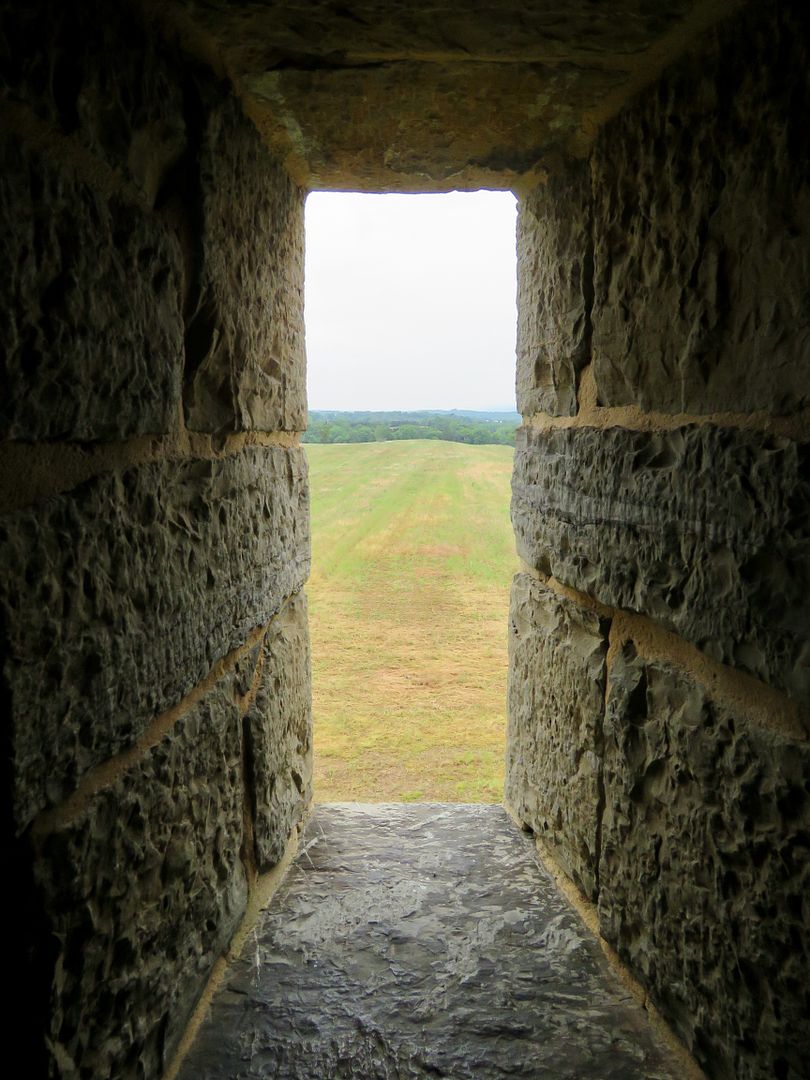
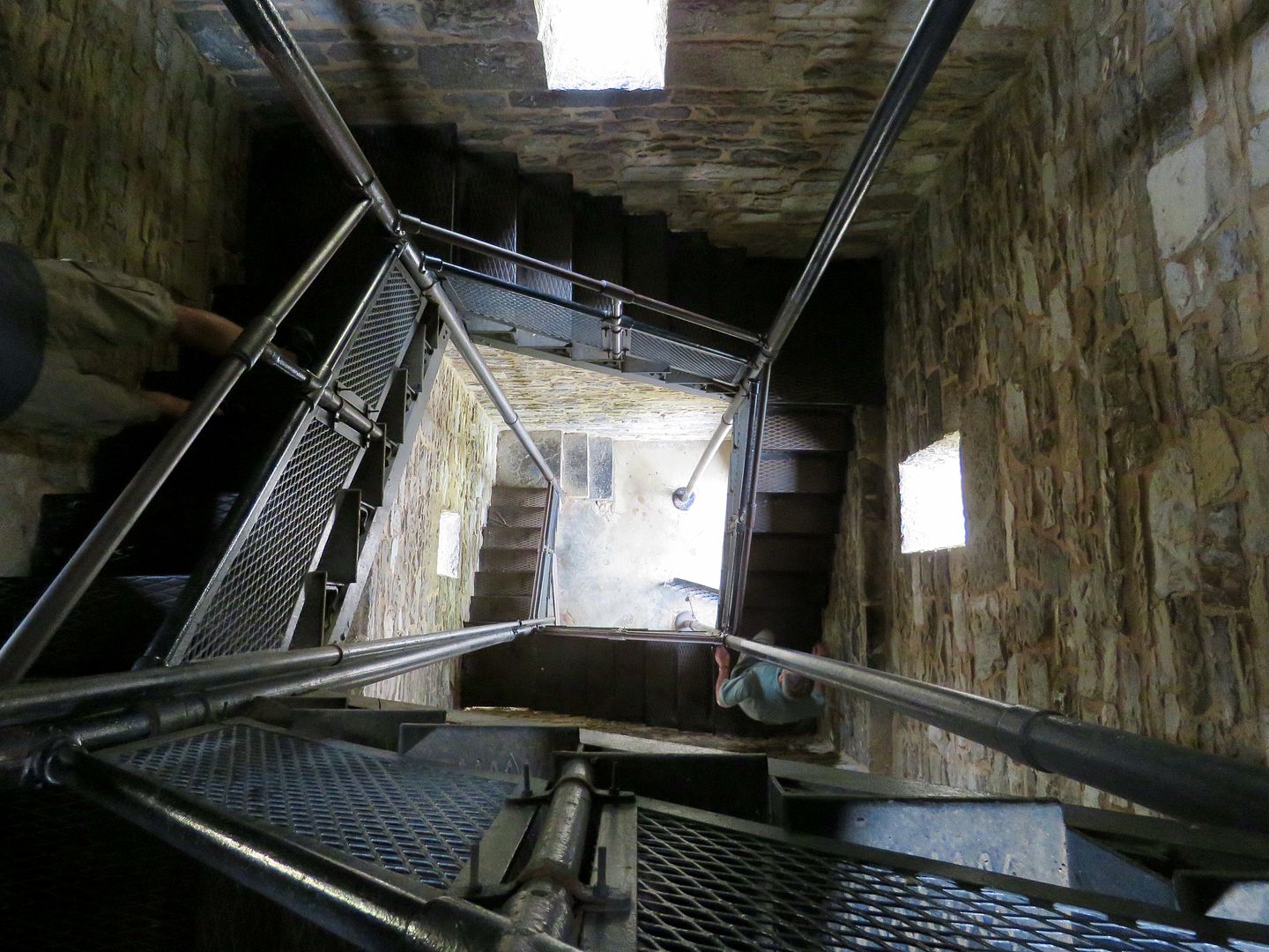
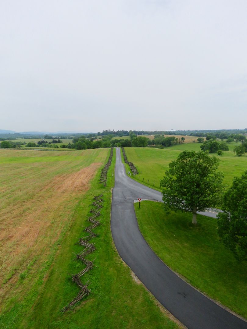
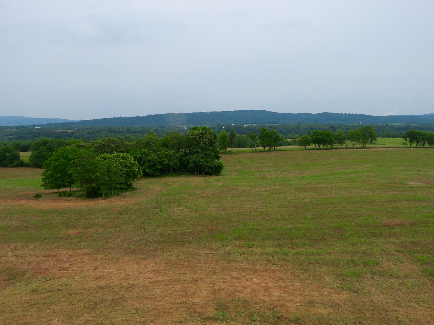
We drove to the Observation Tower where there are great views of the battlefields.
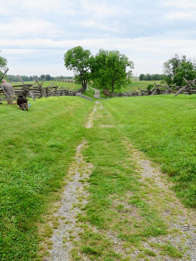
Below is Sunken Road that became known as Bloody Lane an area of fierce fighting and many casualties. 2,000 Confederates (with some reinforcements) held off the 10,000 Union troops for about three hours. Finally the Confederate line collapsed and fell back a few hundred yards.
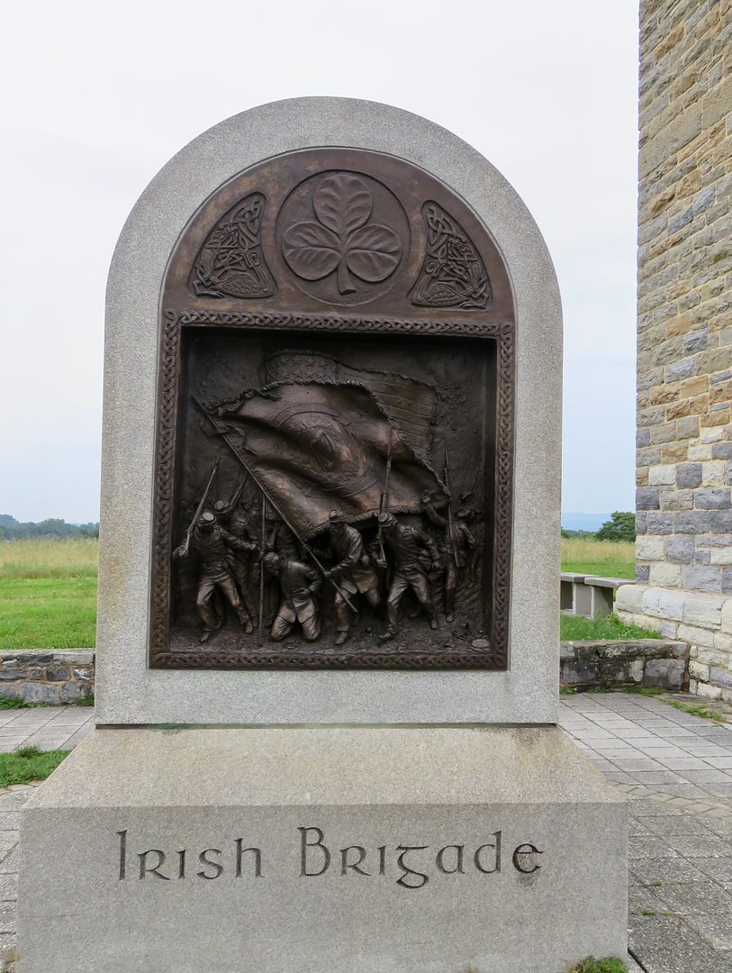
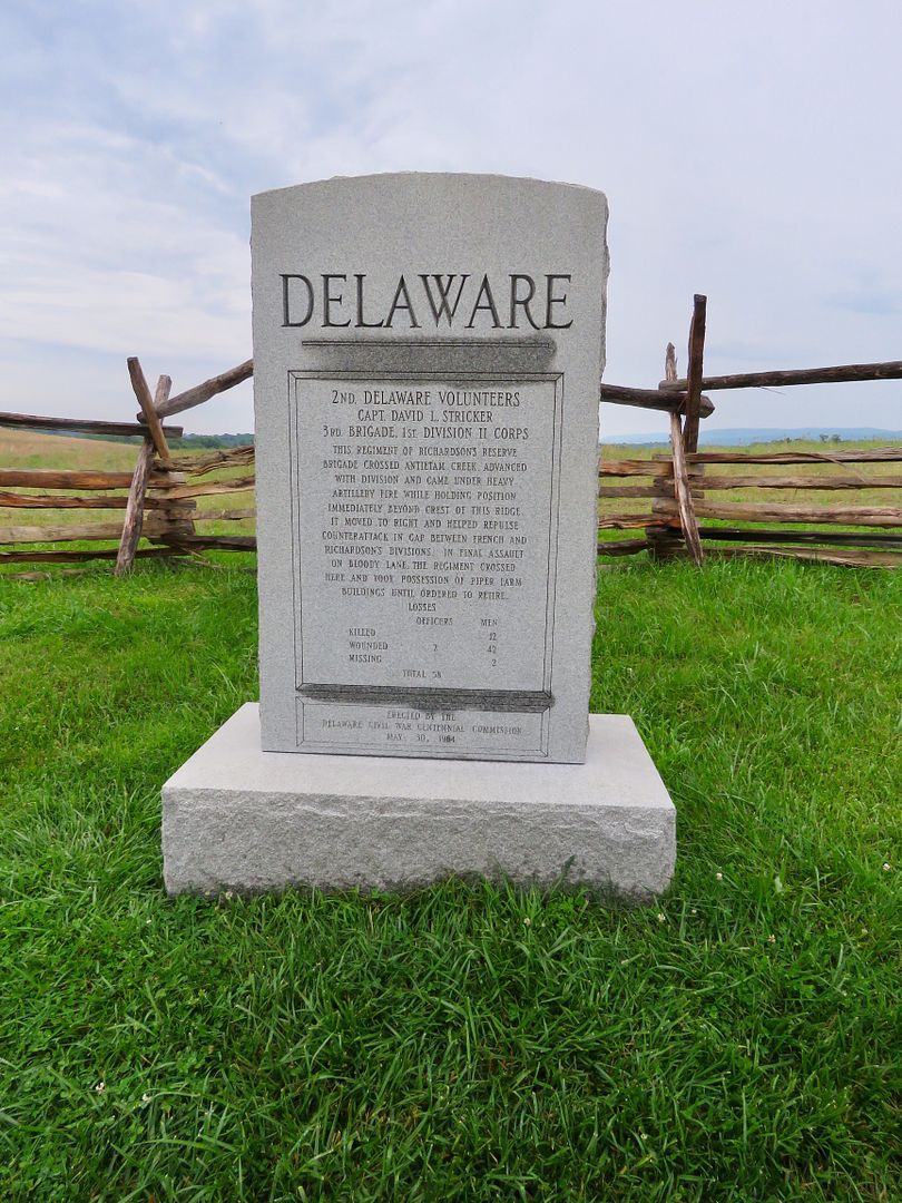
We walked along Bloody Lane where there are many monuments. Below are the Irish Brigade, Delaware and Pennsylvania Volunteers Monuments.
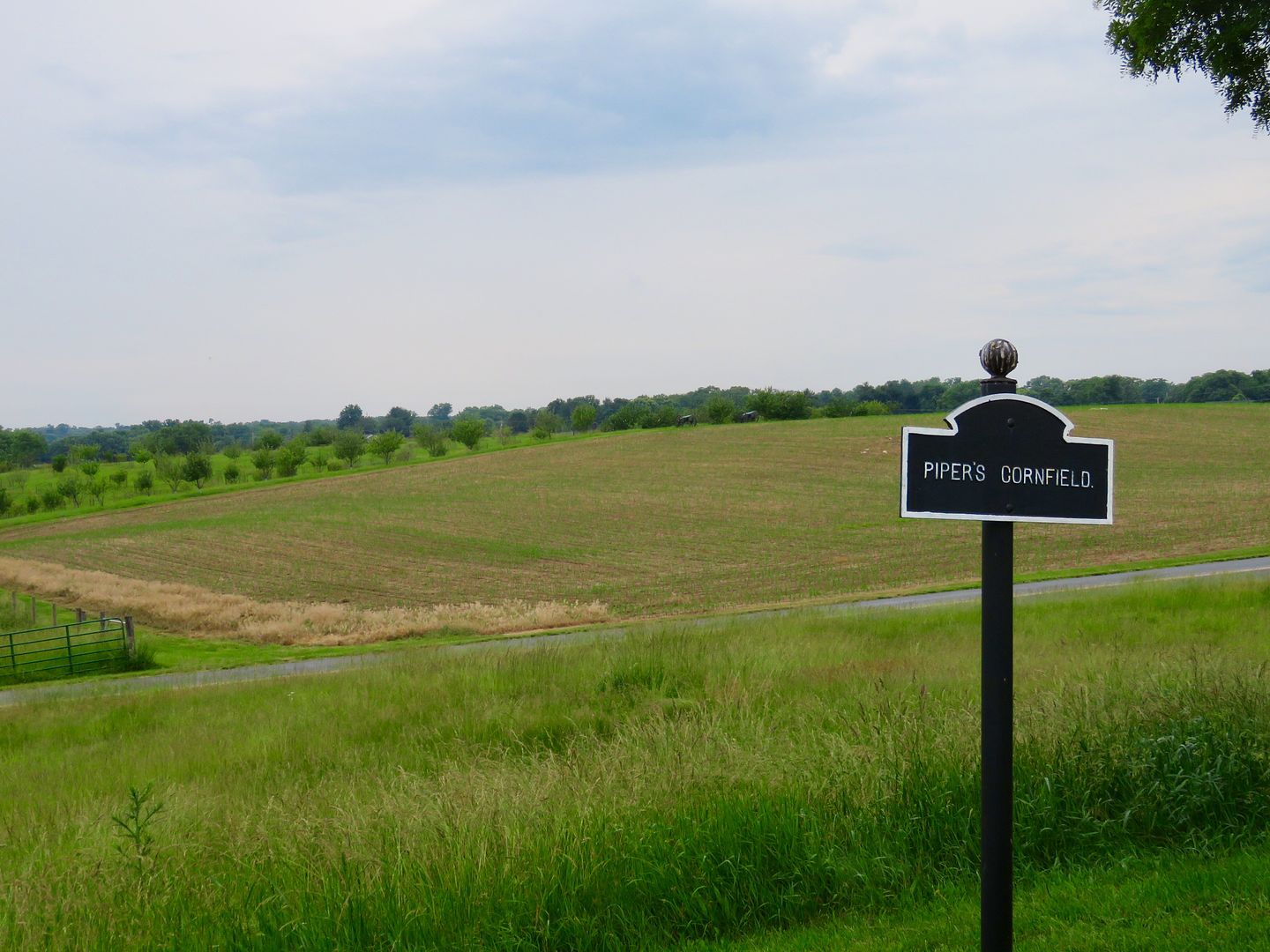
This 24-acre cornfield was the site of one of the most horrific battles in US history. Jackson's Confederate forces battled for three hours with Hooker and Manfields's Union troops, Hays' Louisiana Brigade alone sustained 60% plus casualties in 30 minutes.
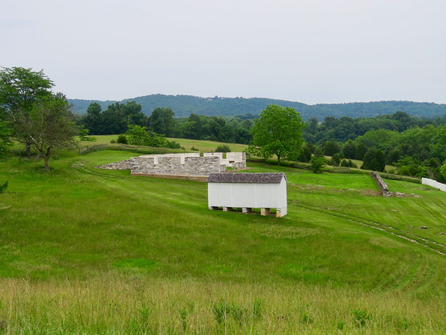
We headed south to Burnside Bridge and stopped for a photo at Sherrick's Farm.
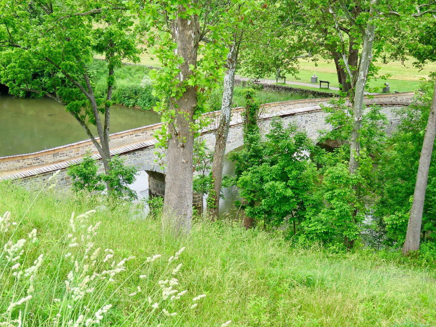
The Rohrbach Bridge was renamed for General Ambrose Burnside who commanded the Union solders that fought to take this strategic position during the Battle of Antietam. It was originally built in 1836 and actively used as a bridge until 1966.
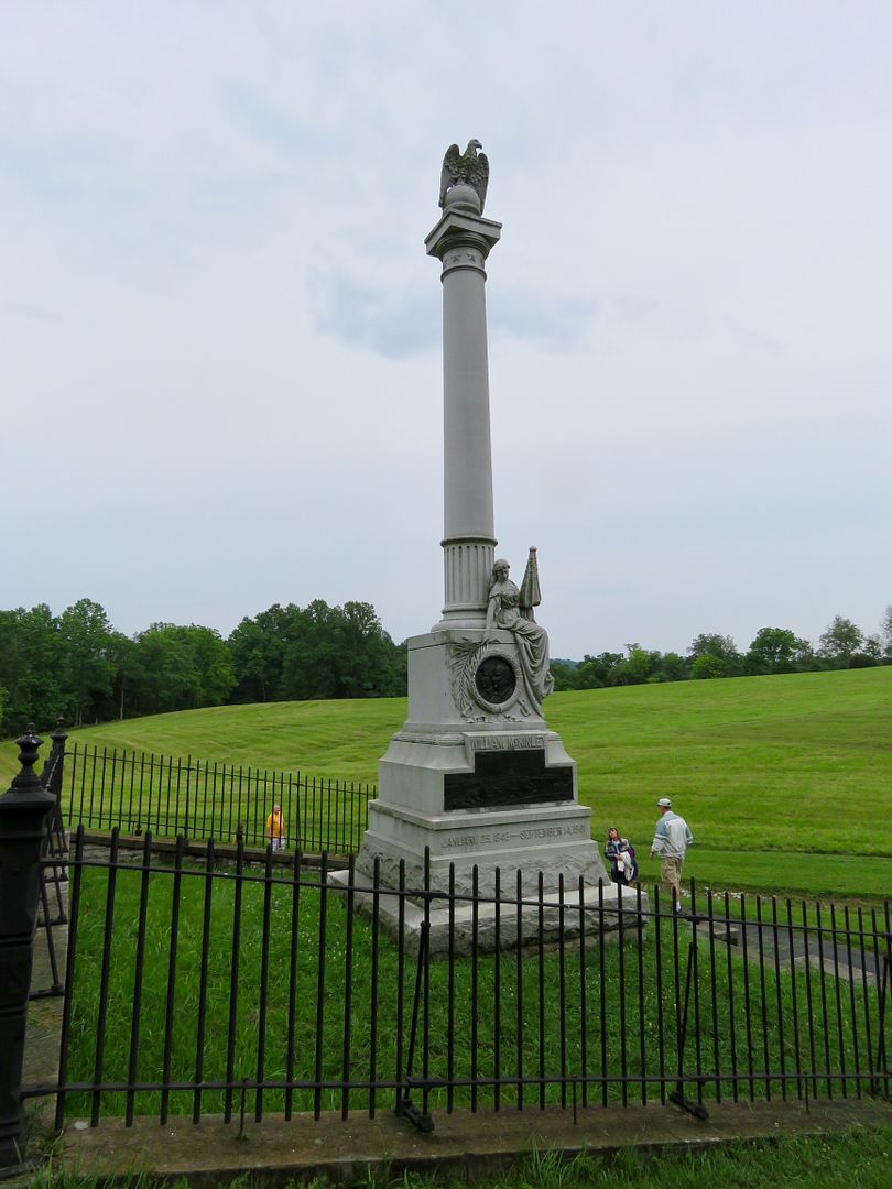
The McKinley Monument is located near the bridge and is named for the 24th US President, William McKinley who served as a sergeant with the 23rd Ohio Brigade at Antietam.
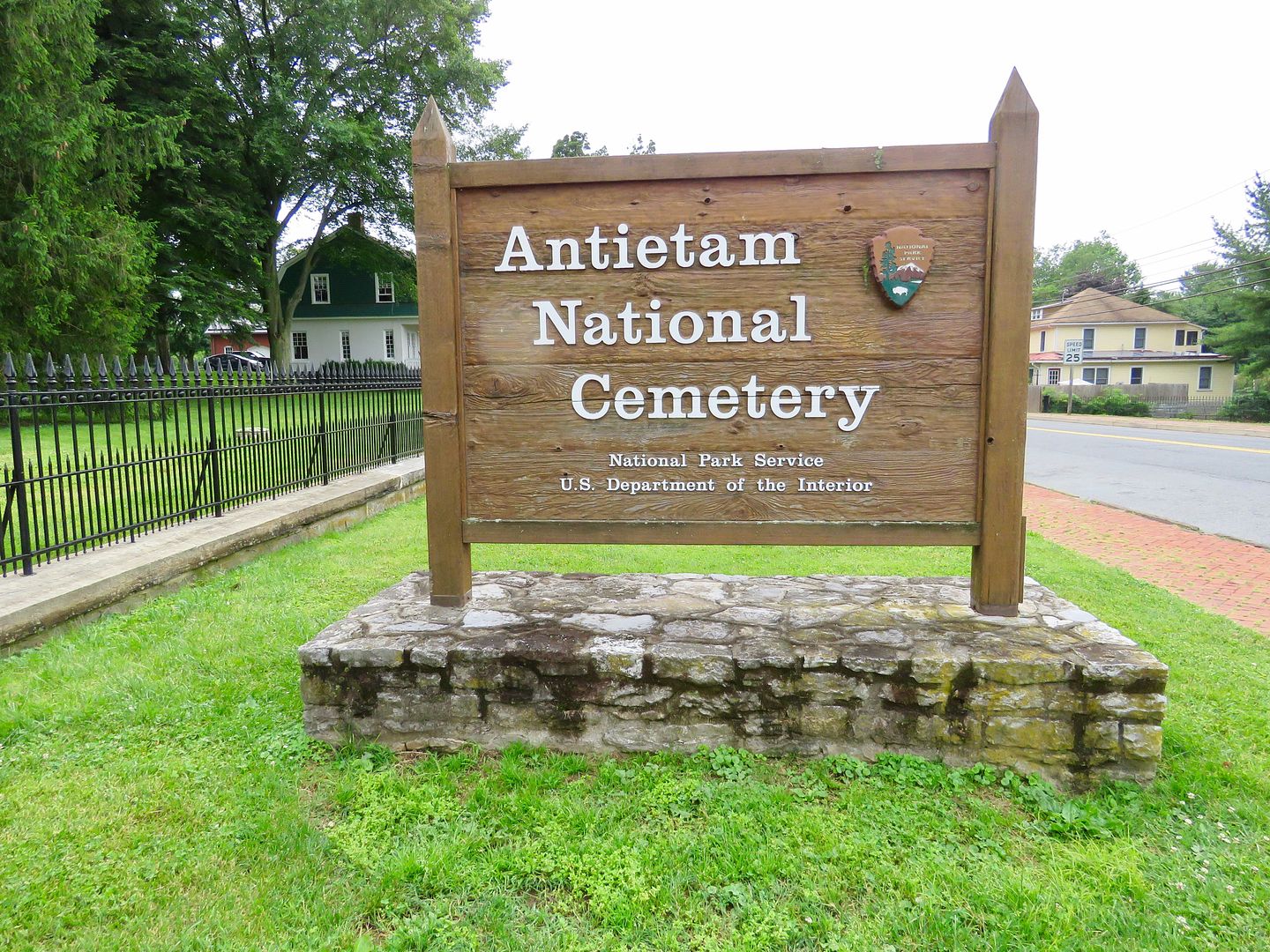
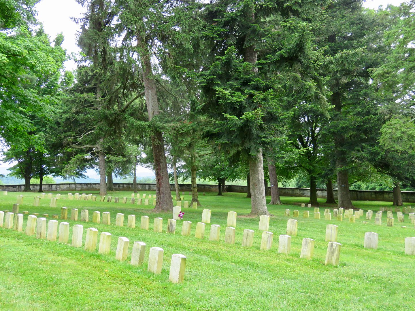
Our final stop at the park was the Antietam National Cemetery.
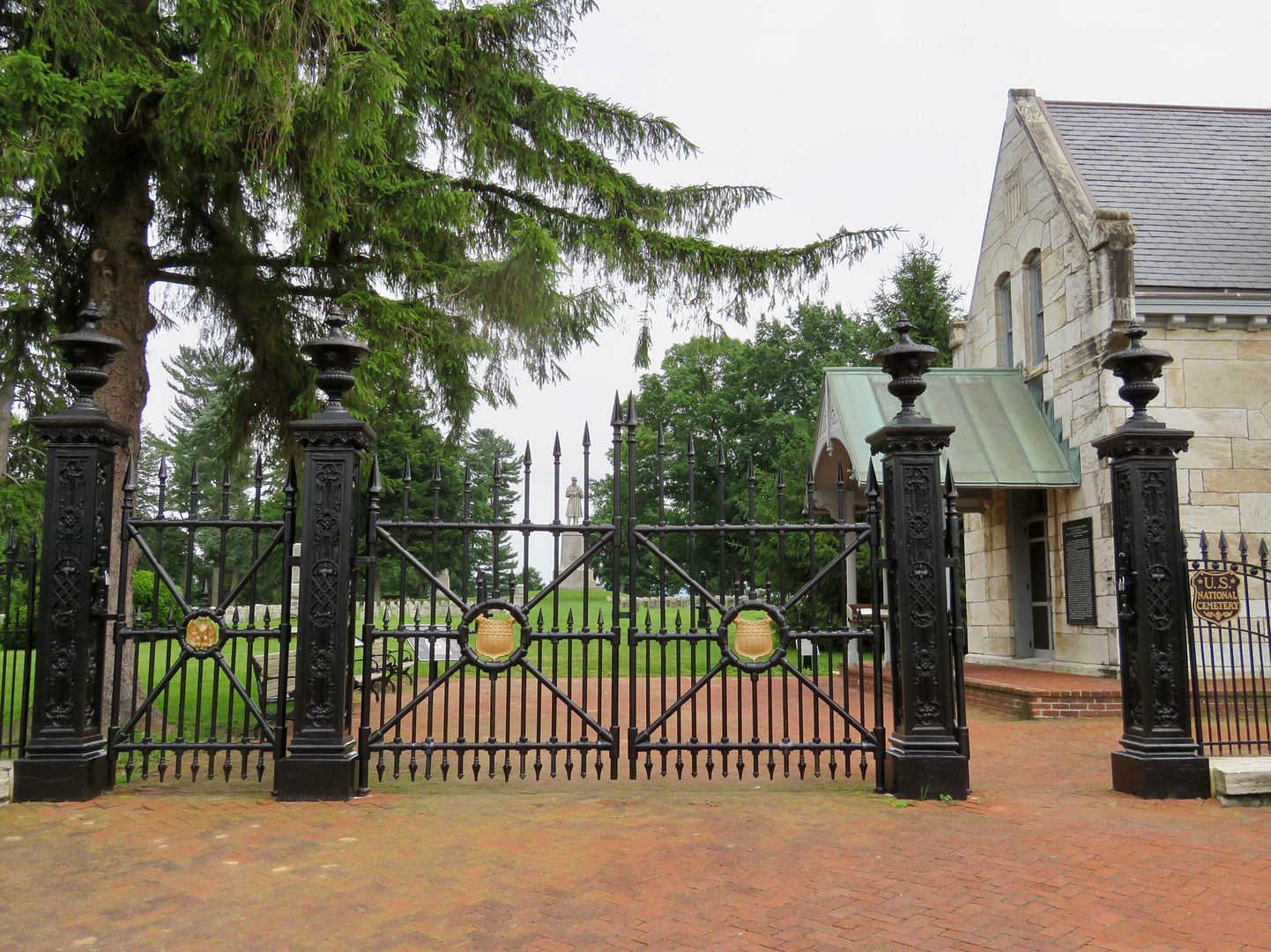
After the Battle of Antietam the dead were buried where they fell in battle. They were subsequently reinterred at the Antietam National Cemetery, along with the wounded who died at hospitals in the region. A registry of the those buried here can be found near the building at the entrance.
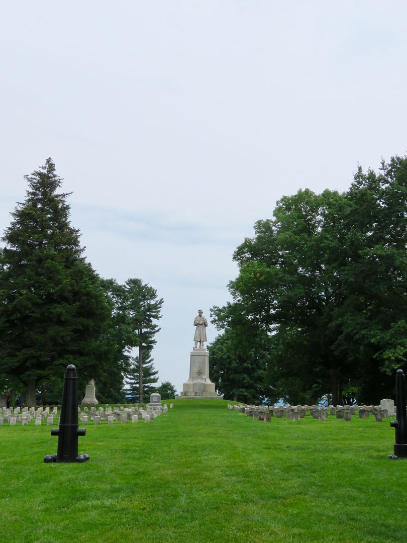
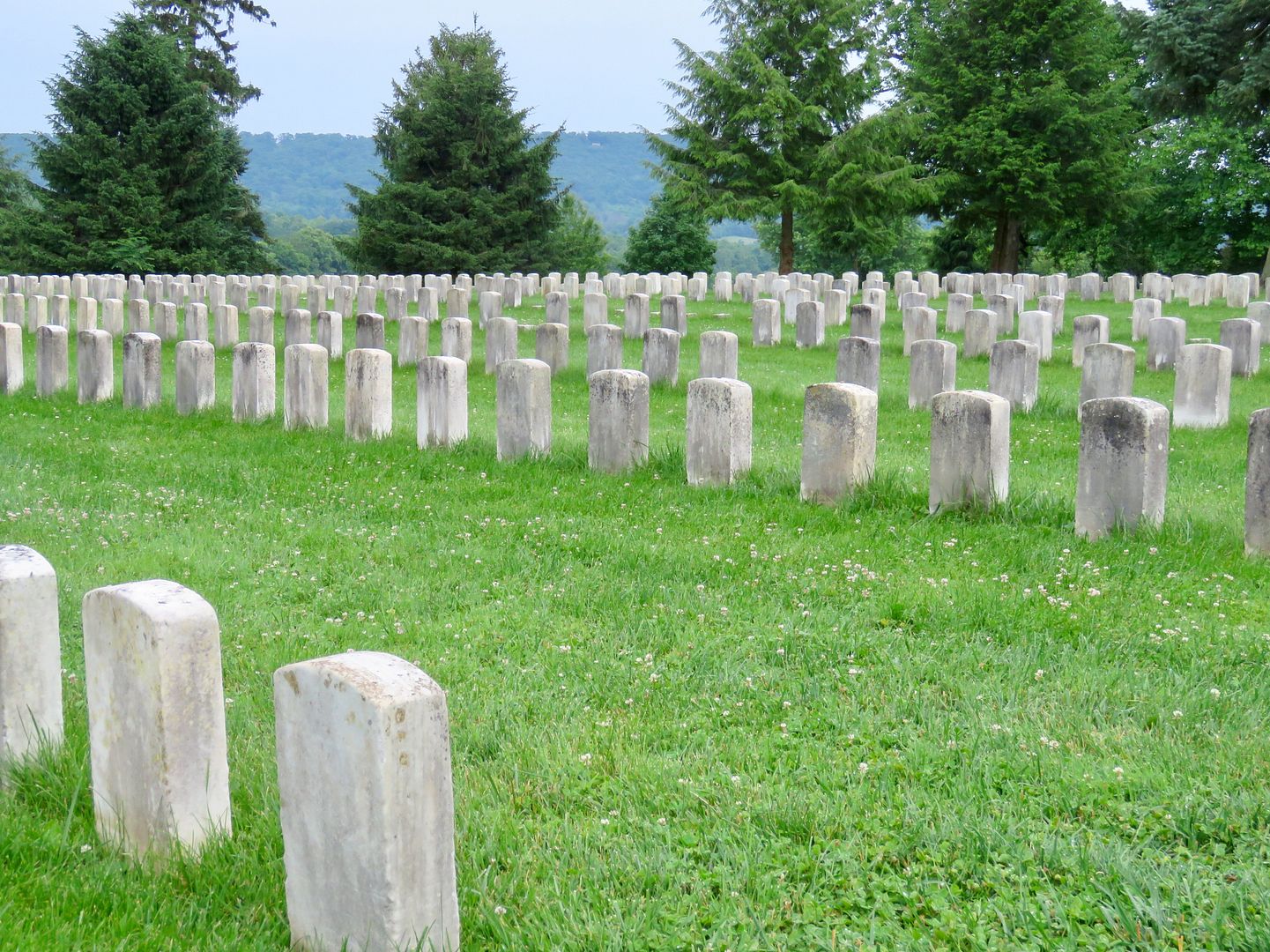
Union soldiers (4,776) who died during the Civil War are buried here along with veterans of four other wars. Confederate troops were buried in local cemeteries in Hagerstown and Frederick, MD, and Shepherdstown, VA (now in WV).
Below is a one of the Union grave markers (PA) and unmarked graves.
Visiting these National Cemeteries is always a somber experience. It is impossible for me to imagine the horrible suffering of so many during these turbulent times in our country's history. I believe it is important to continue to learn about our nation's past to assure that we do not repeat the same mistakes in the future.
For additional information about the Antietam National Battlefield, visit their
website at
www.nps.gov/anti.