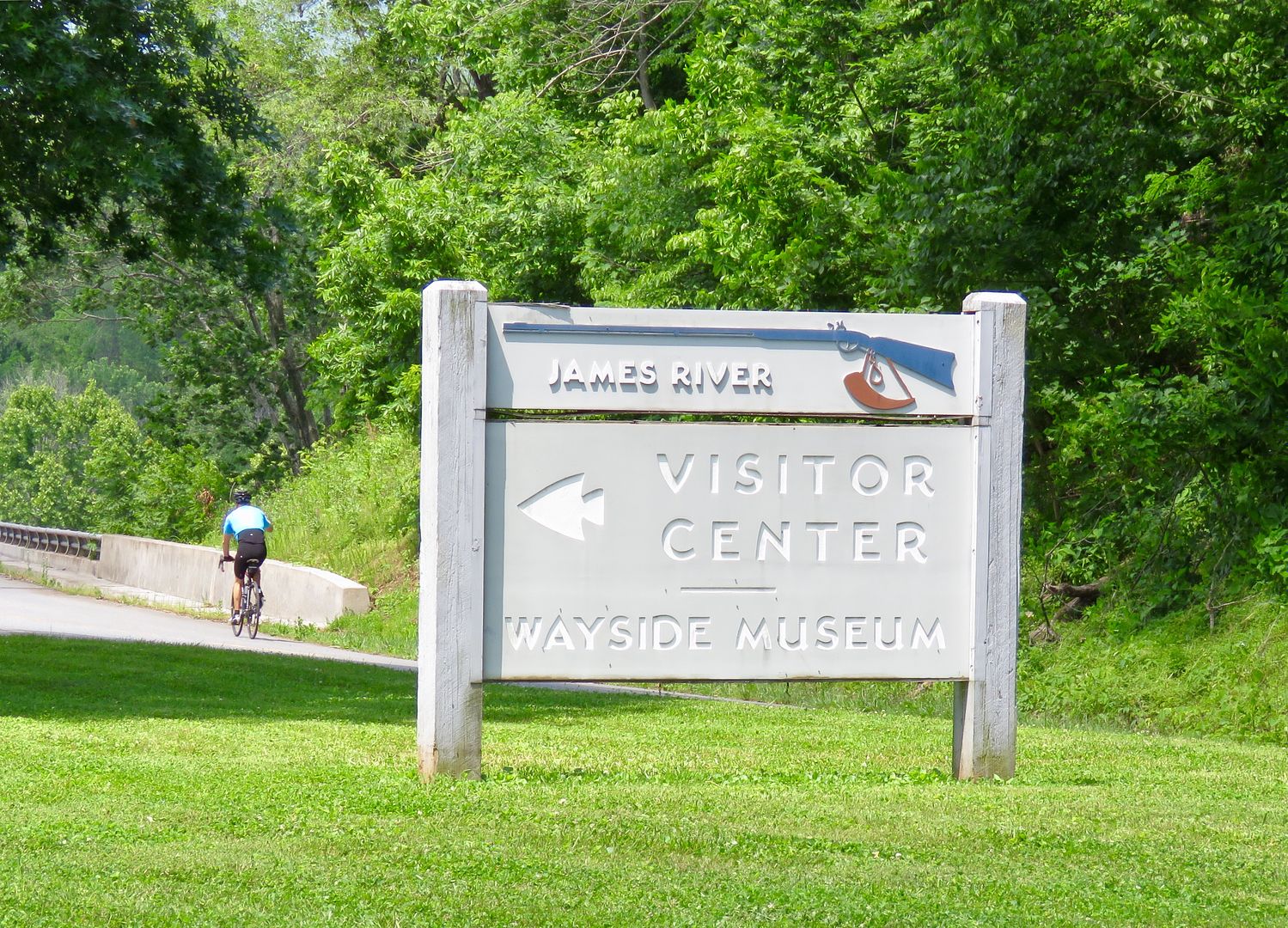
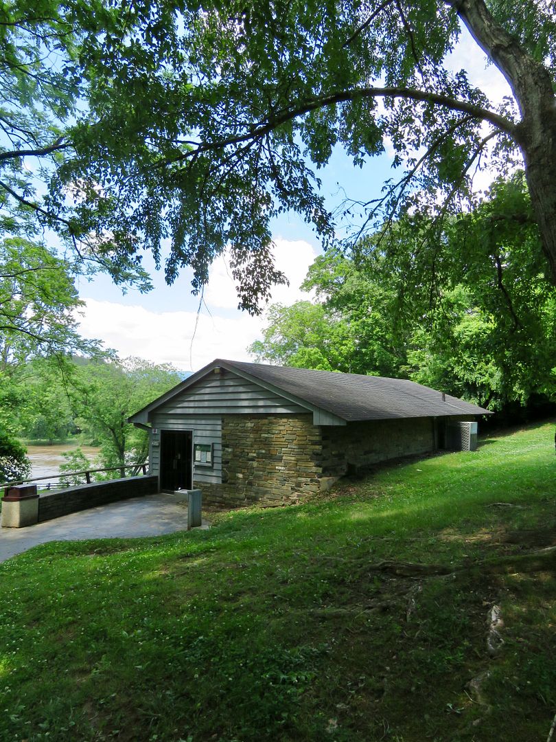
The first time we stopped at the James River Visitor Center it was closed. When we returned on the 27th with John's sister, Nancy, and her husband, John, it was open. We picked up a National Park system brochure that provides great information about the entire parkway (as we were at the northernmost part of it).
Nancy and John live in Roanoke and met us at our campground for the day. It was wonderful spending time with them! After lunch, we decided to check out the trails at James River.
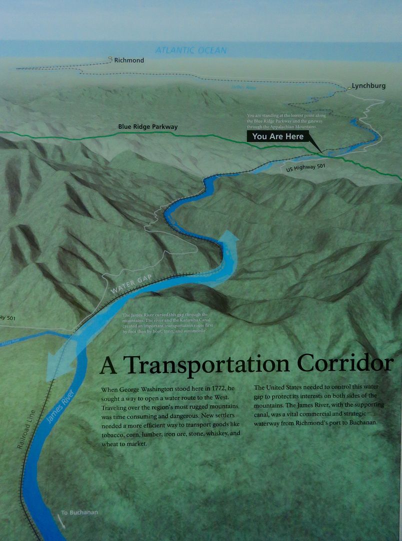
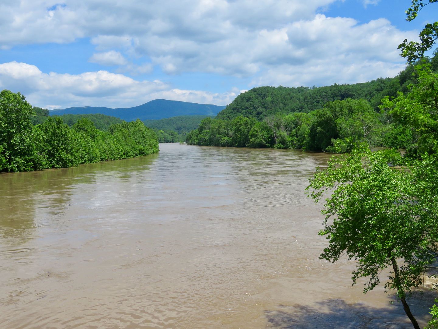
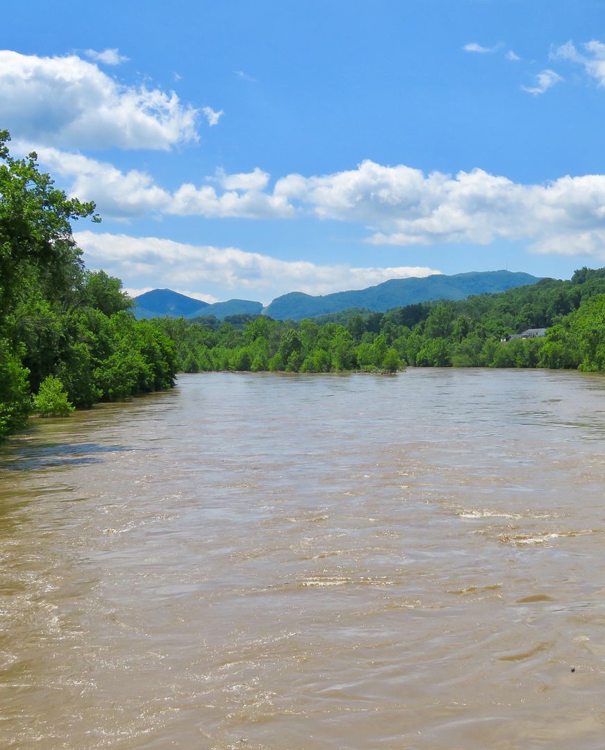
There is a small display at the Visitor Center about the area. The James River was a very important transportation route in this part of the country until the expansion of railroads in the late 1800s.
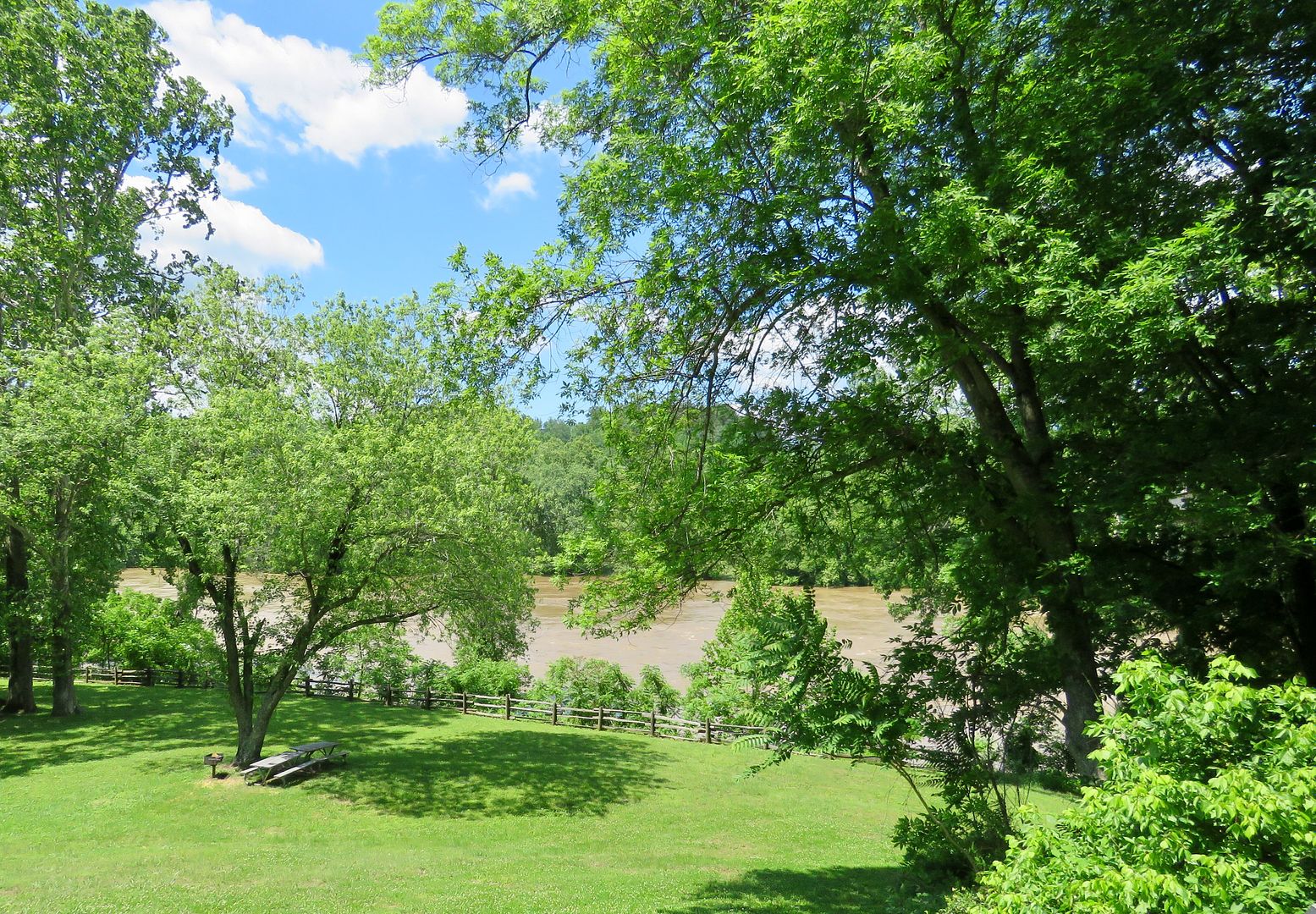
There is a lovely picnic area near the river below the Visitor Center.
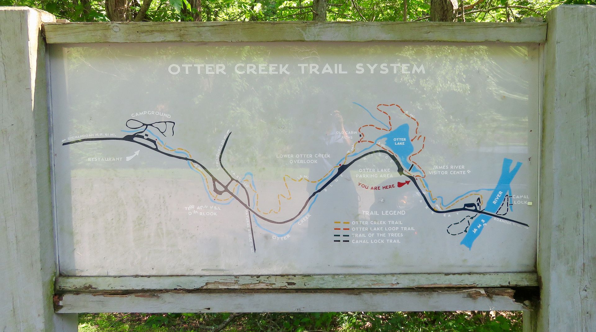
There are two short trails here, the Canal Lock Trail and the Trail of the Trees.
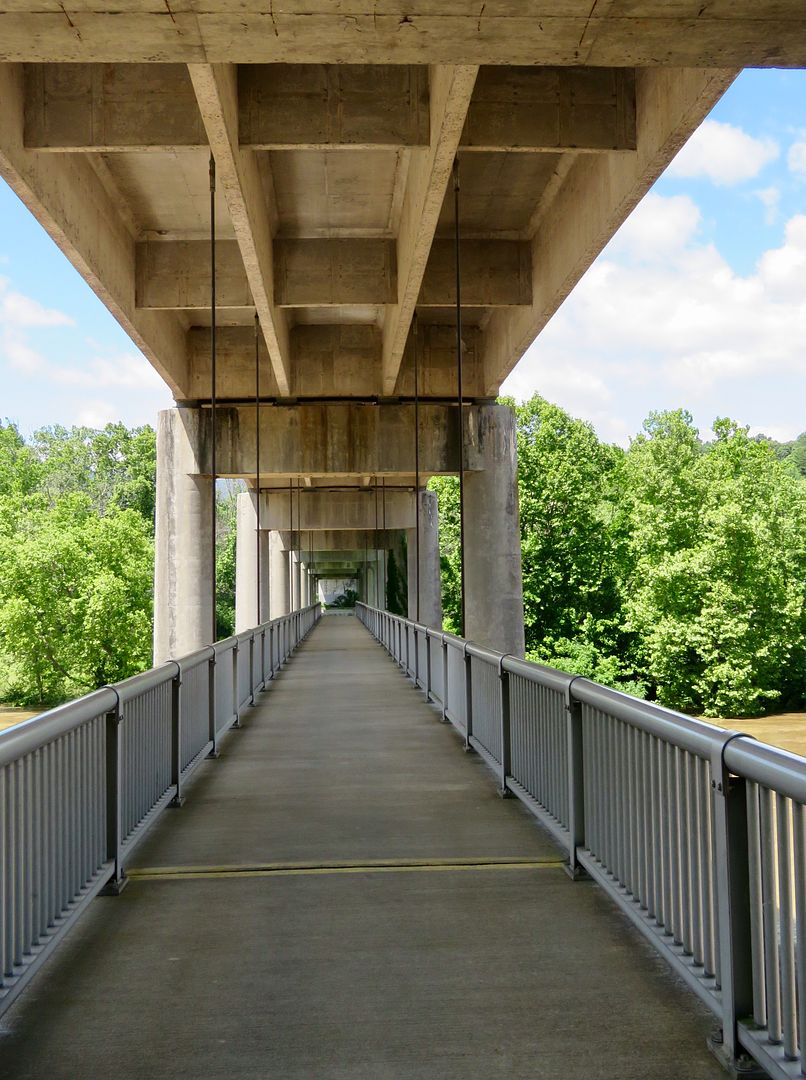
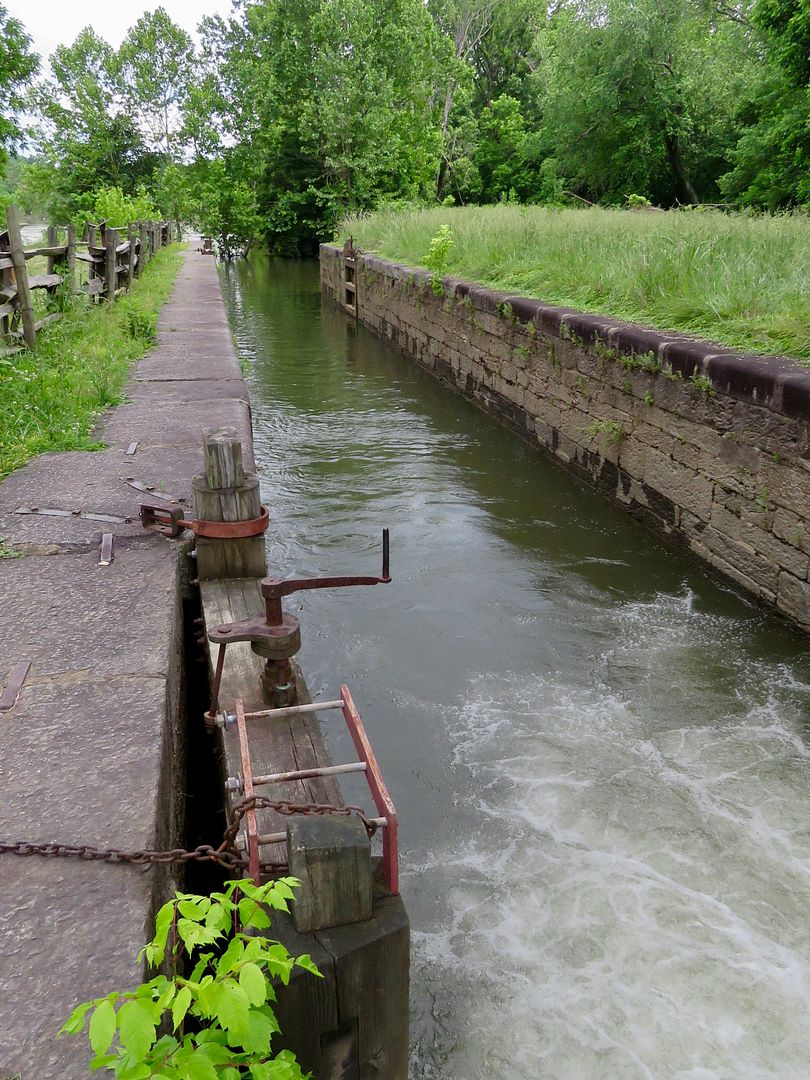
We hiked both; starting with the Canal Lock Trail. There is a pedestrian walkway underneath the Harry F. Byrd Bridge that leads to the locks.
The Battery Creek Lock has been restored here. Built in 1851, it was a lift lock 15' wide, 21' deep, and 100' long (i.e., between gates) and lifted a boat 13'. Lift locks were used to lift (or lower) boats to provide passage on rivers that were too swift or too shallow for navigation.
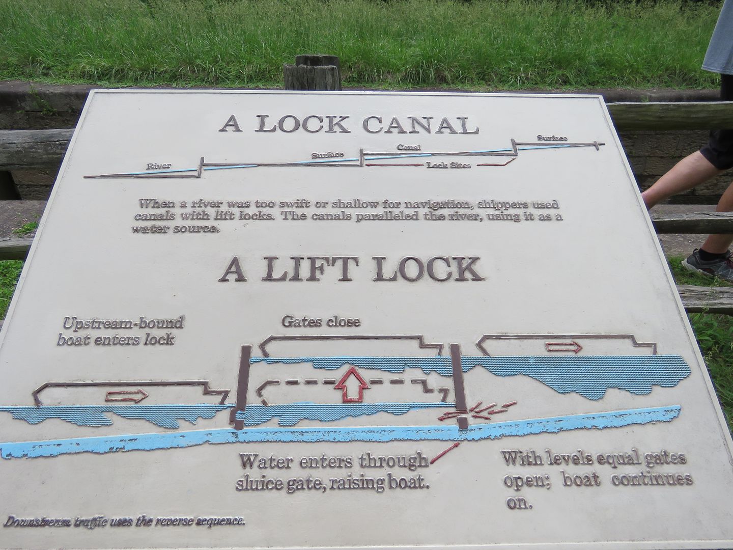
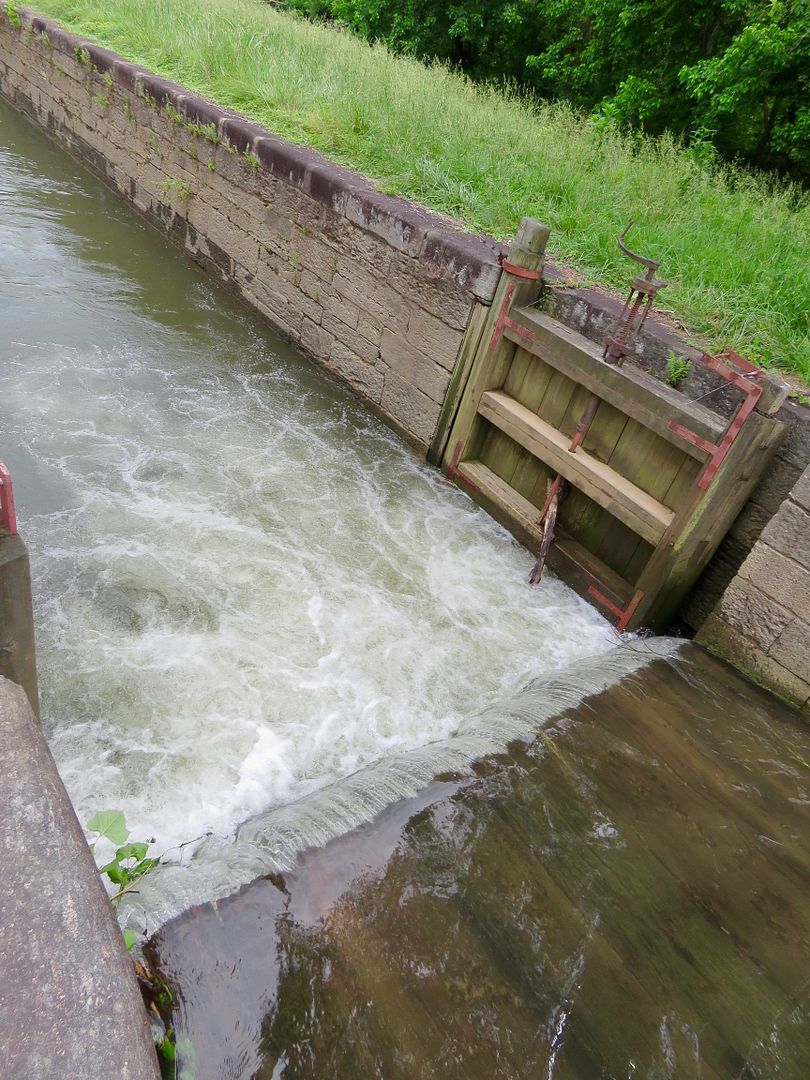
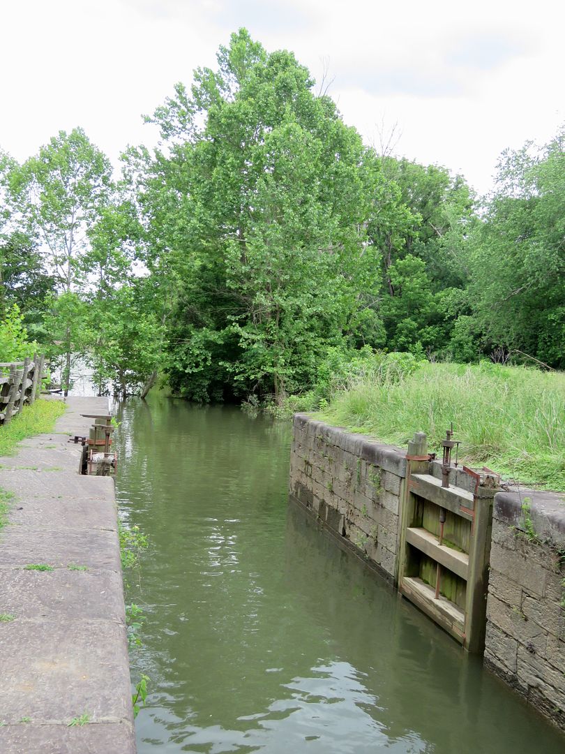
The bottom of the canal had pine planking and the walls were of local stone. The lock system ran parallel to the James River.
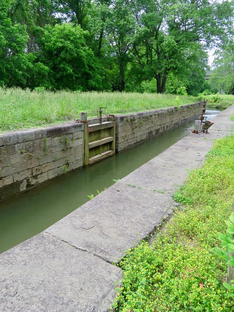

We retraced our steps along the river (the Visitor Center can be seen on the opposite bank) and across the river to reach the Trail of the Trees trailhead.
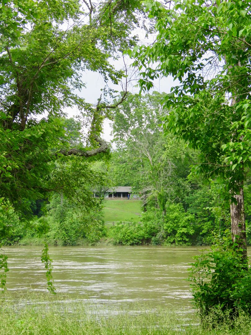
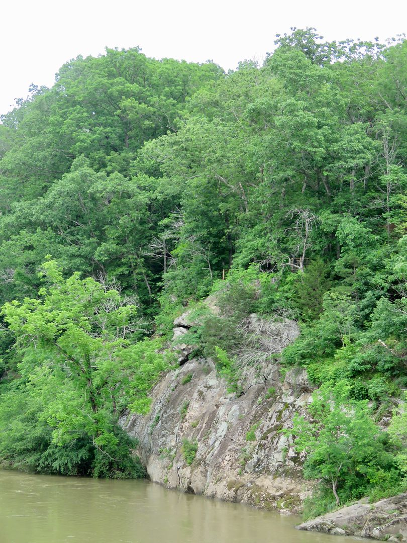

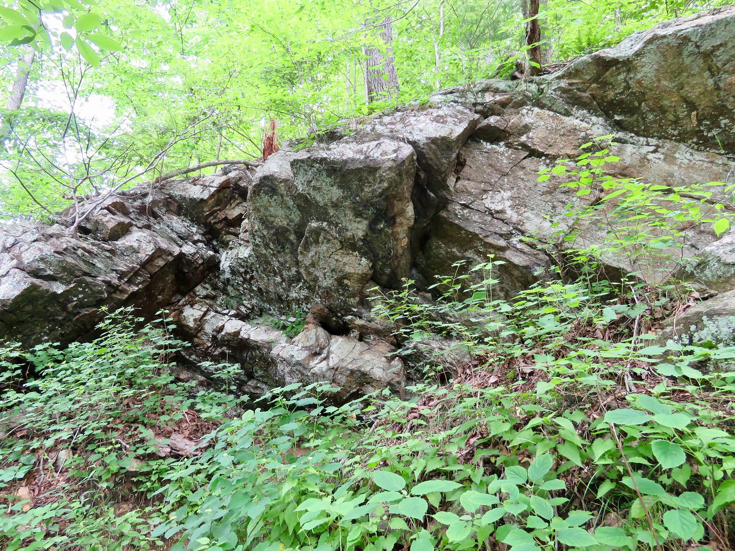
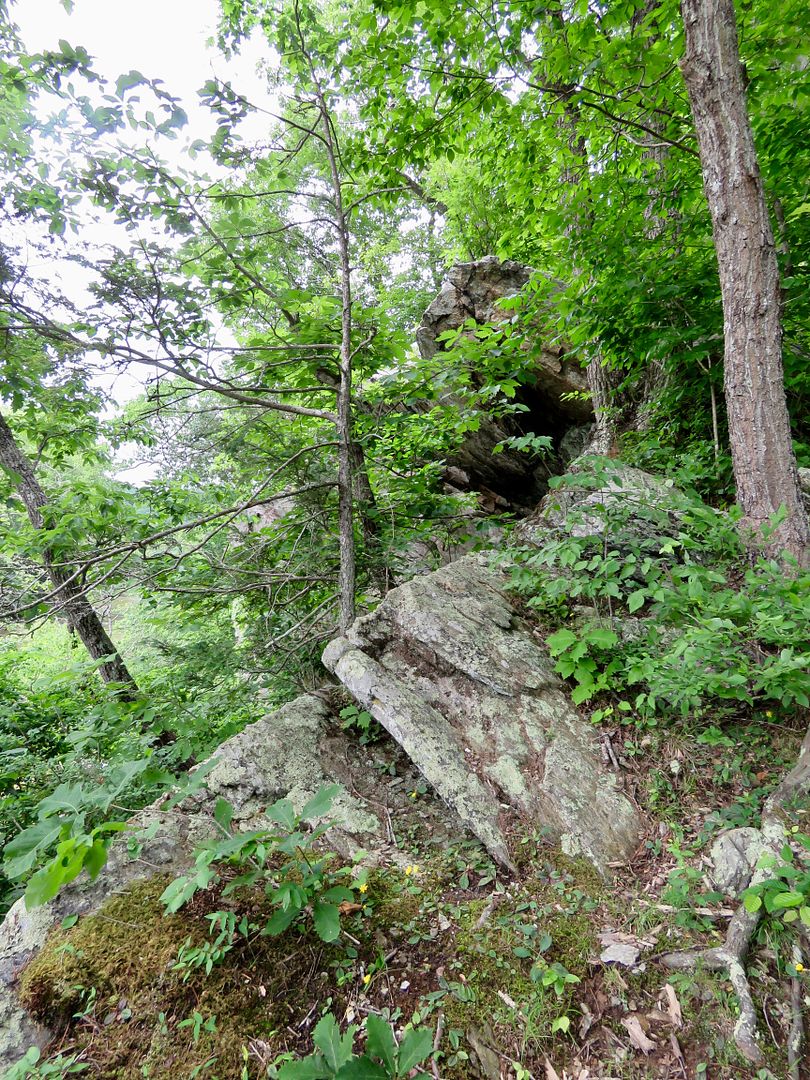
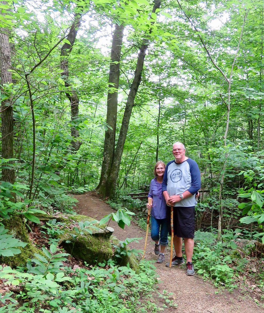
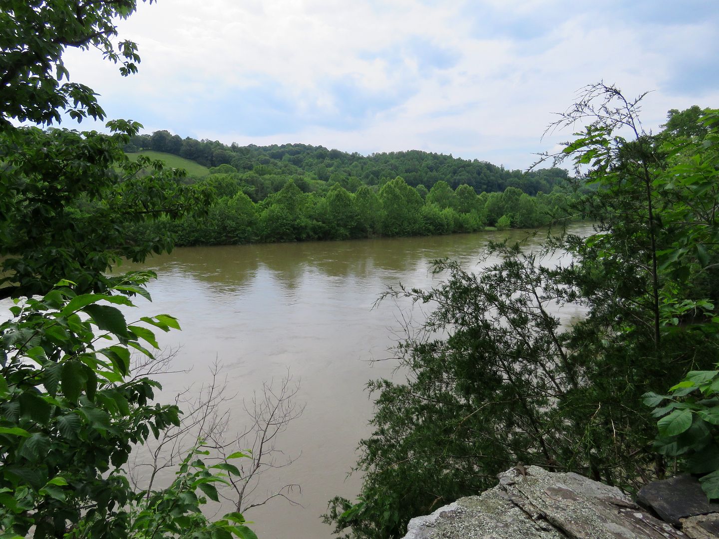
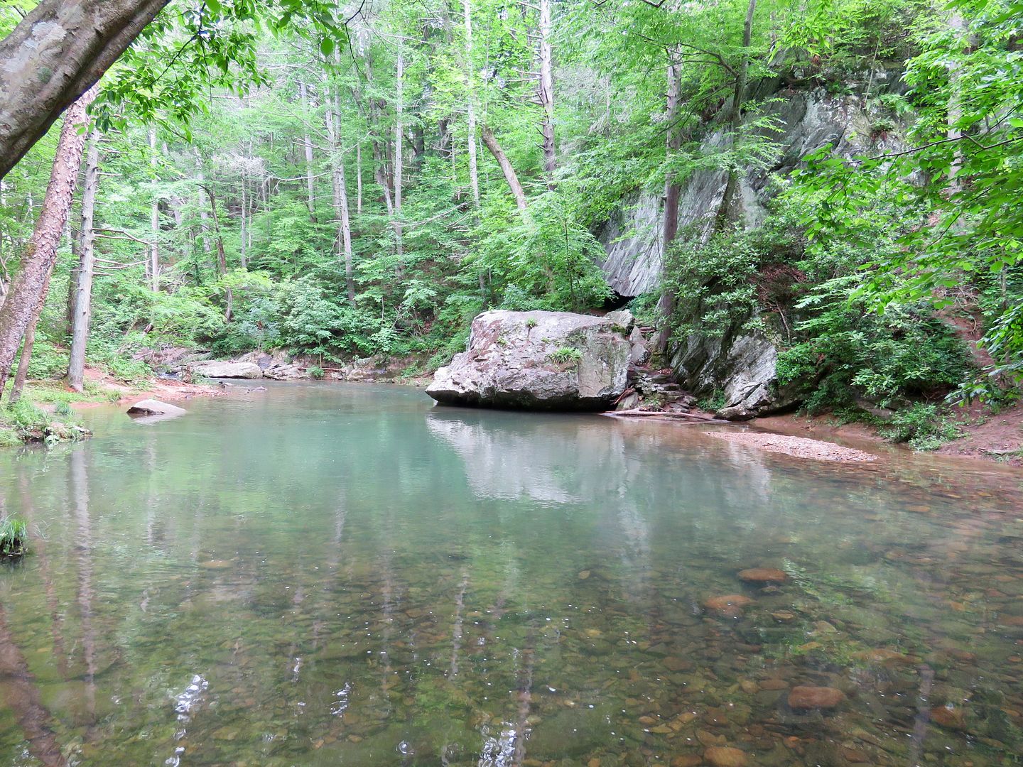
This was a lovely 30 minute hike through a mixed hardwood forest to an overlook of the James River. The river has caused exposure of geologic formations that are more than 500 million years old. It is mostly volcanic and sedimentary rocks. Also shown are our hiking buddies, Nancy and John.
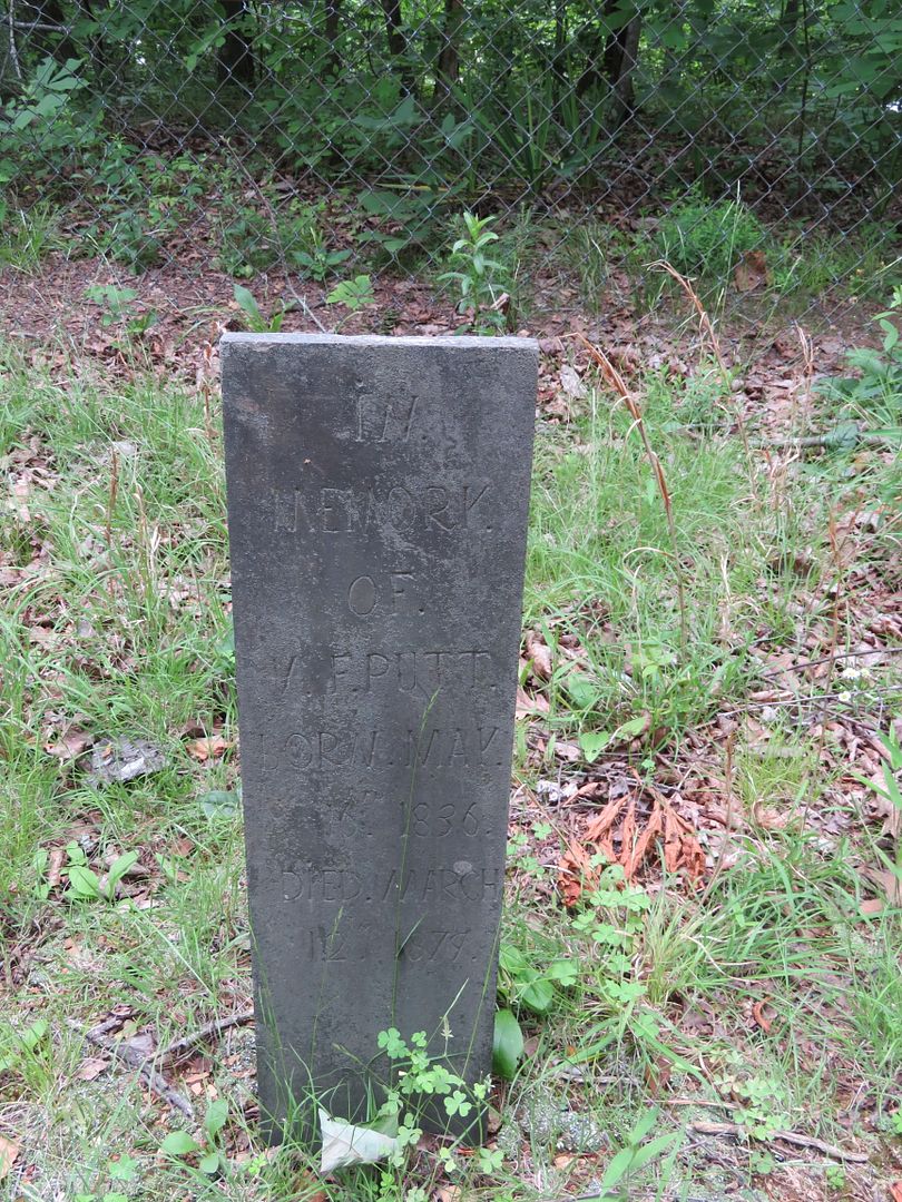
As we were concluding the Trail of the Trees hike, we came upon the Putt's Cemetery. It is apparently a family burial plot with graves dating to the 1800s (many were too old to read). The birth and death dates in the one shown below are 1836-1874.

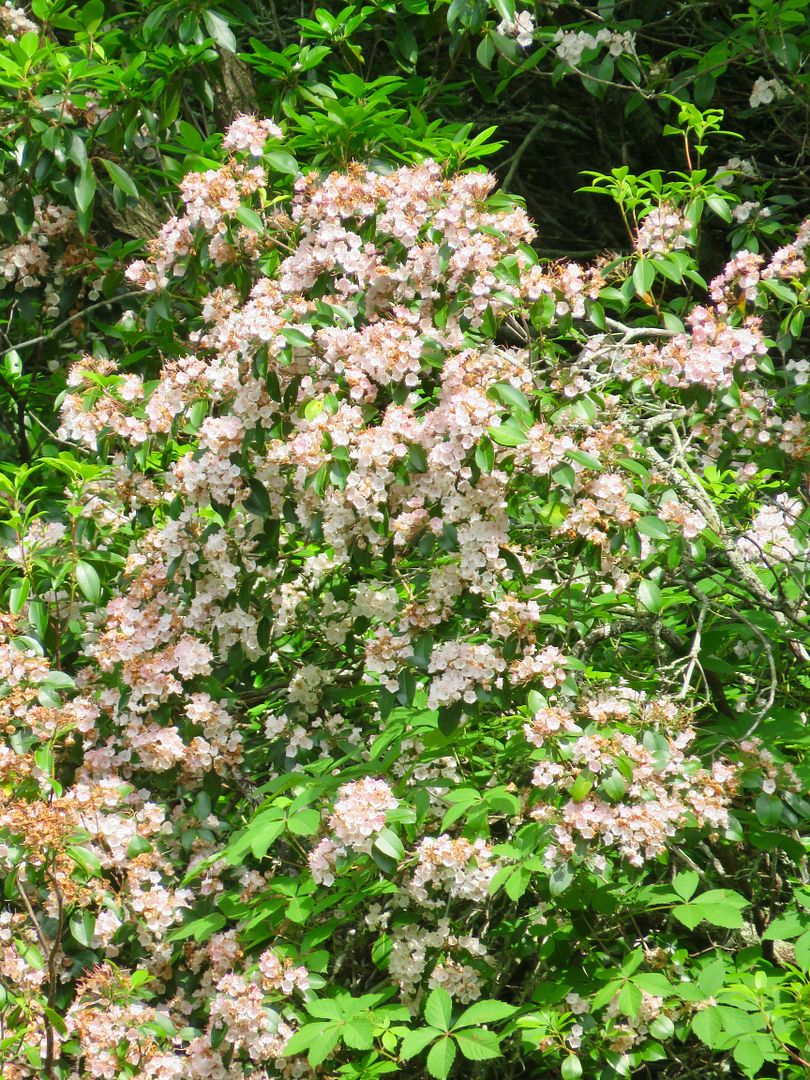
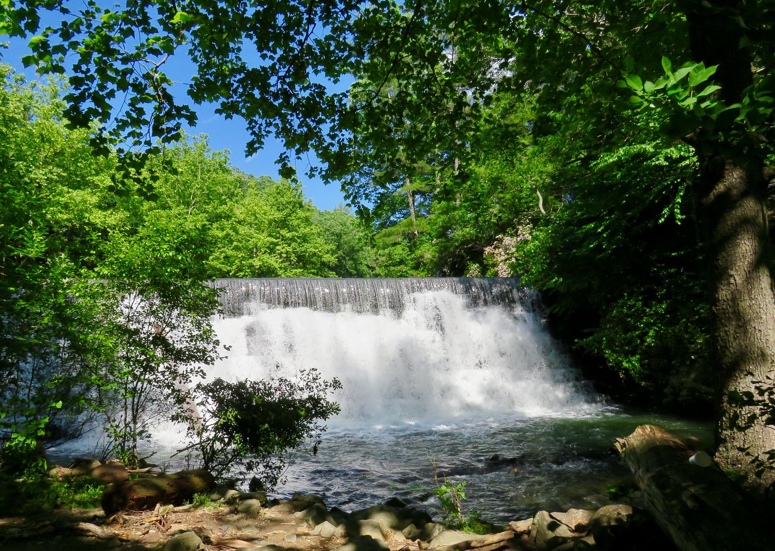
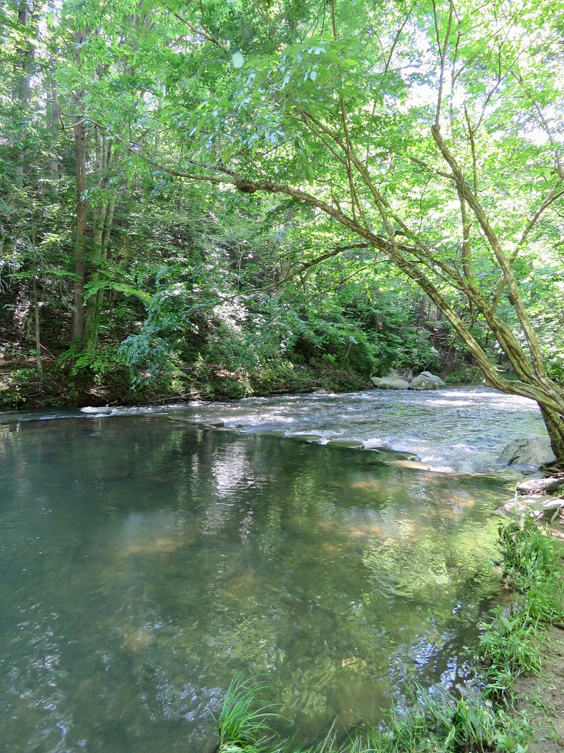
We returned to the car and drove just a short distance north on the Parkway and stopped at the Lower Otter Creek Overlook. Steps leads to the lower level of the creek where there is a lovely view of the waterfall created by the dam. Some of the azalea are still in bloom on the opposite shore.

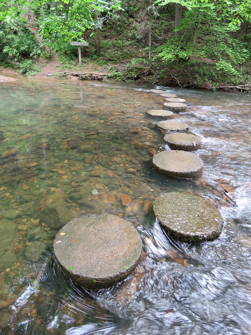
It was beautiful along the creek. Steps have been built across the creek to provide access to the Otter Lake Loop Trail.
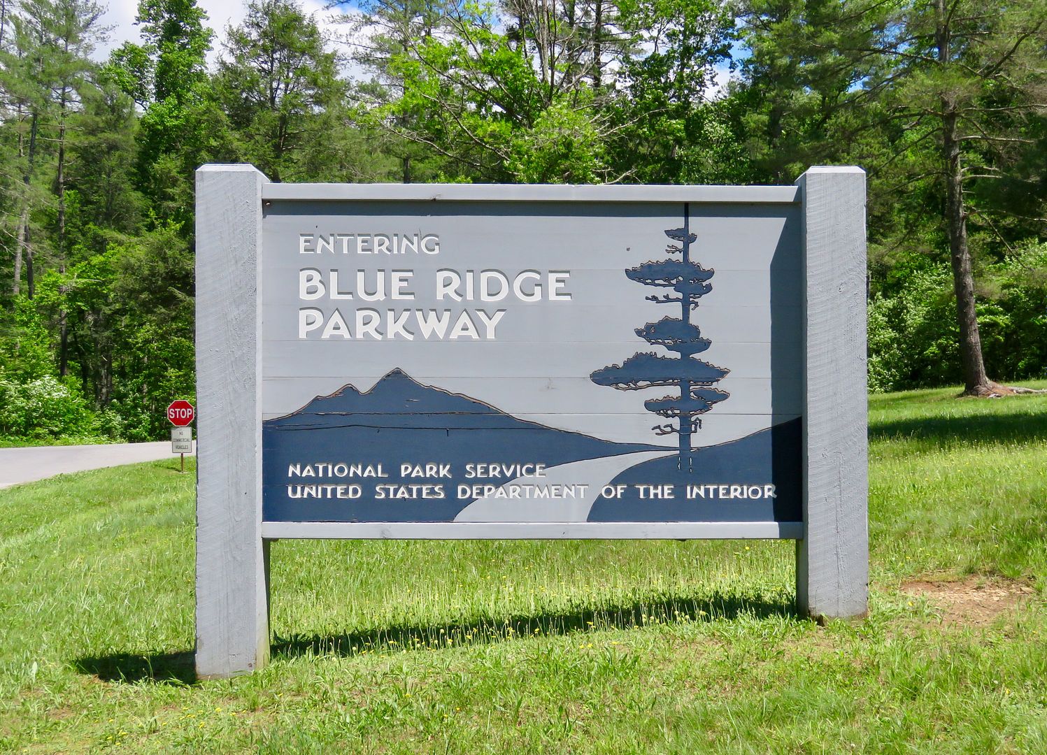
We had such a nice time exploring the natural beauty of this part of the Blue Ridge Parkway. I know we need to plan to spend some time traveling along the parkway in the future. We only saw about 10 miles of the 469 miles of it!
For additional information about the Blue Ridge Parkway, see their website at www.nps.gov/blri.
The four of us returned to the campground, where we had dinner cooking in the crockpot. After dinner and more catching up, Nancy and John left for Roanoke. We wished we had planned on more time together! It was great to see them.
No comments:
Post a Comment