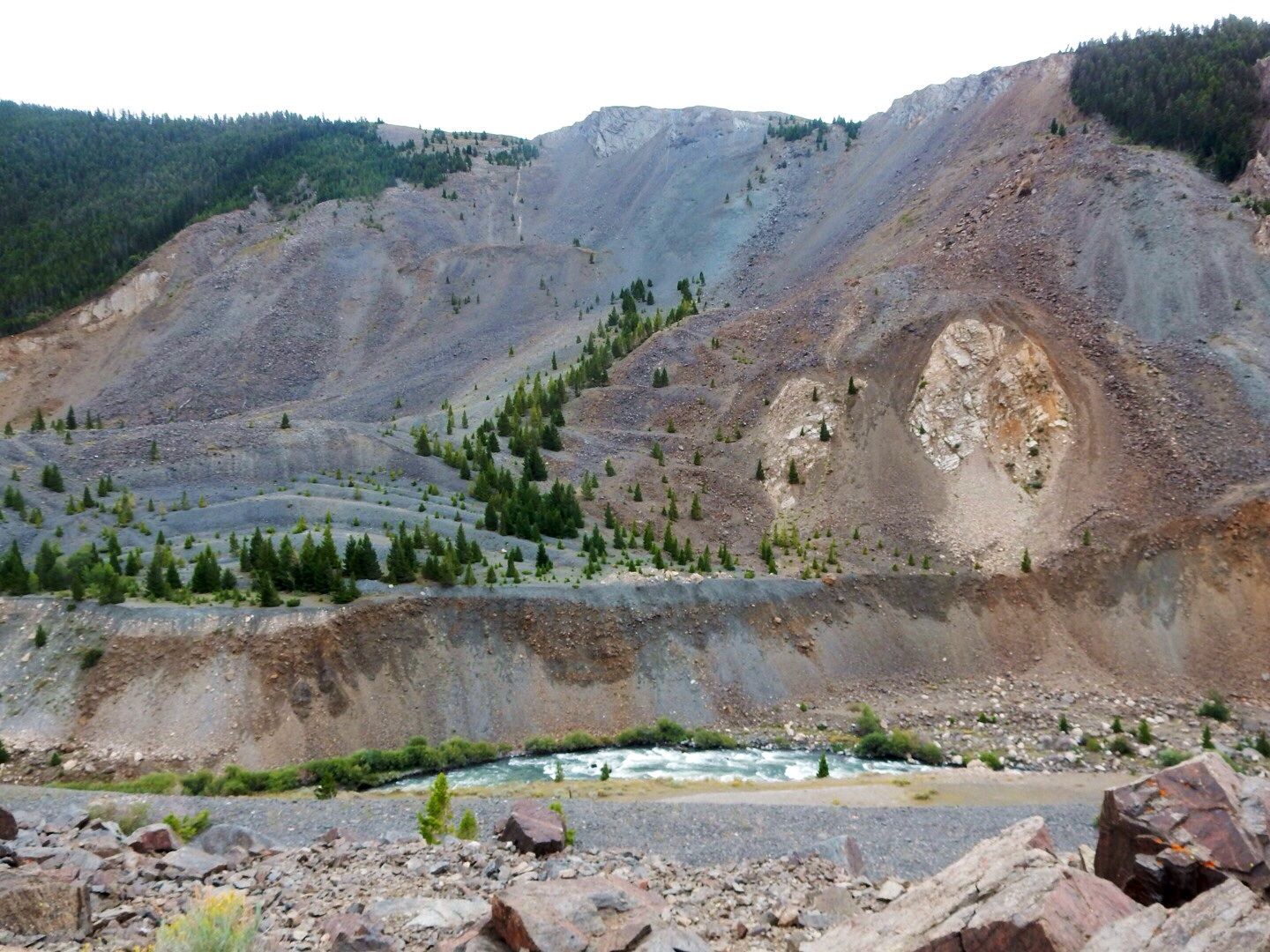
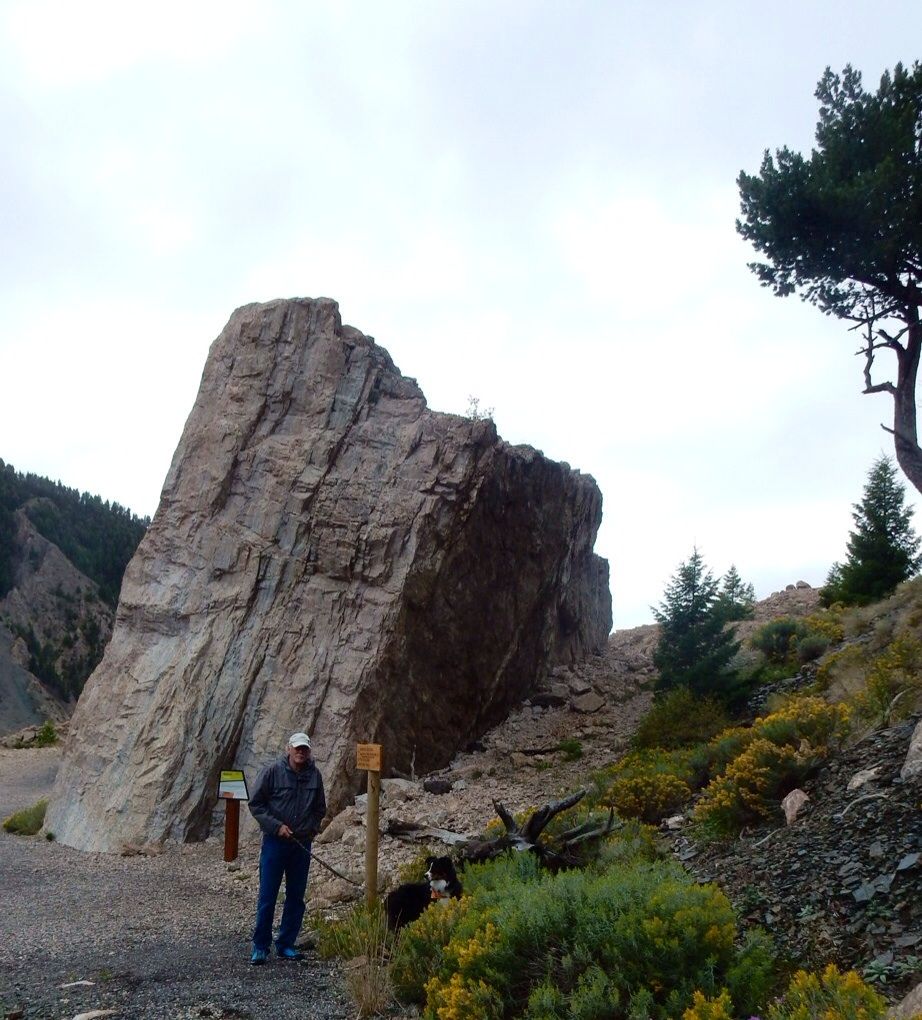
The landslide (Sheep Mountain) created by the quake caused 80 million tons of rock to crash across the valley and up the other side. Here's a photo of the side of the mountain today.
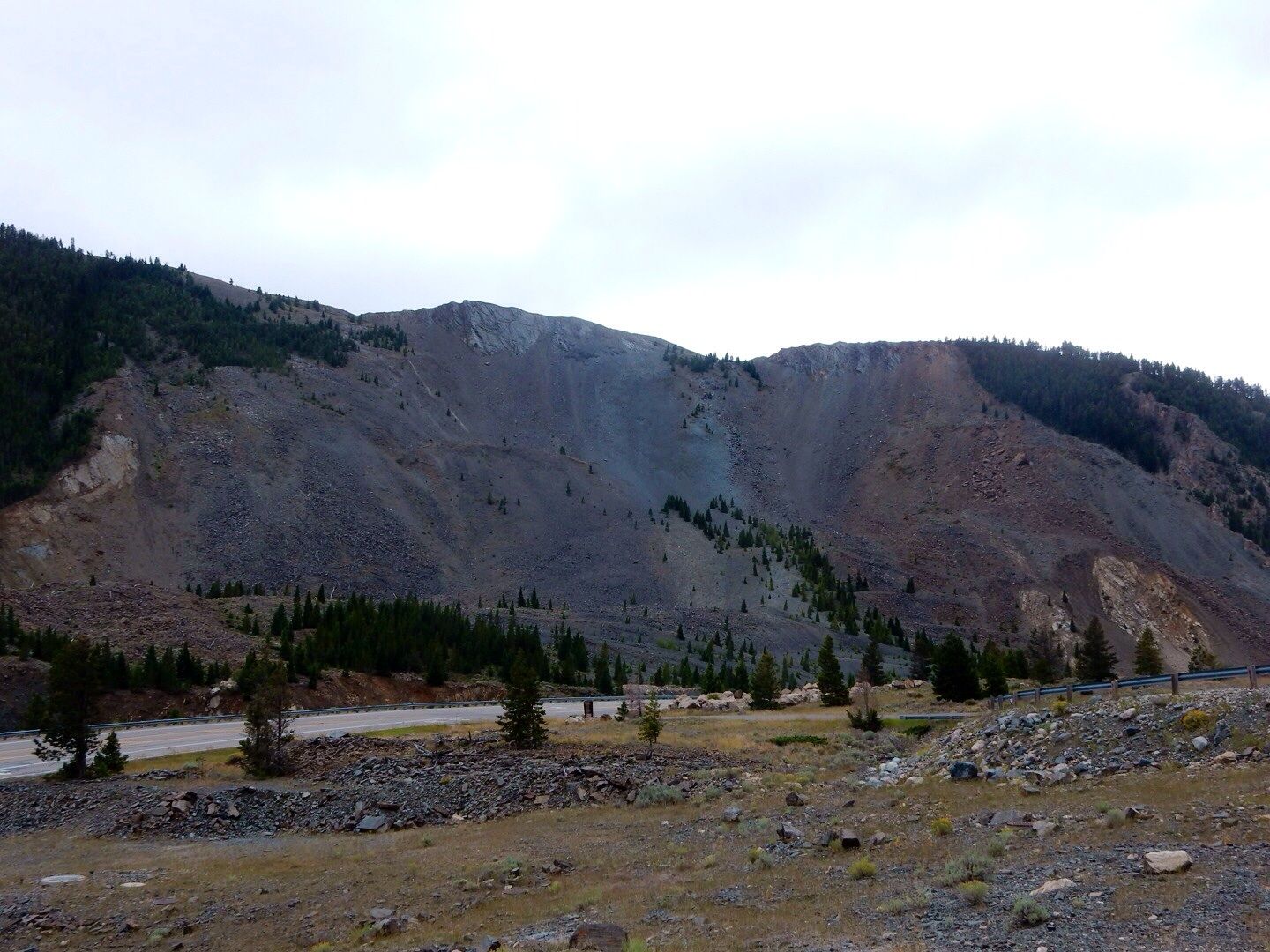
It took only 20 seconds for 6-million pound boulders to travel .5 mile. Hurricane-force winds (100 mph) and an intense dust cloud were created by the landslide contributing to the catastrophic damage to the valley.
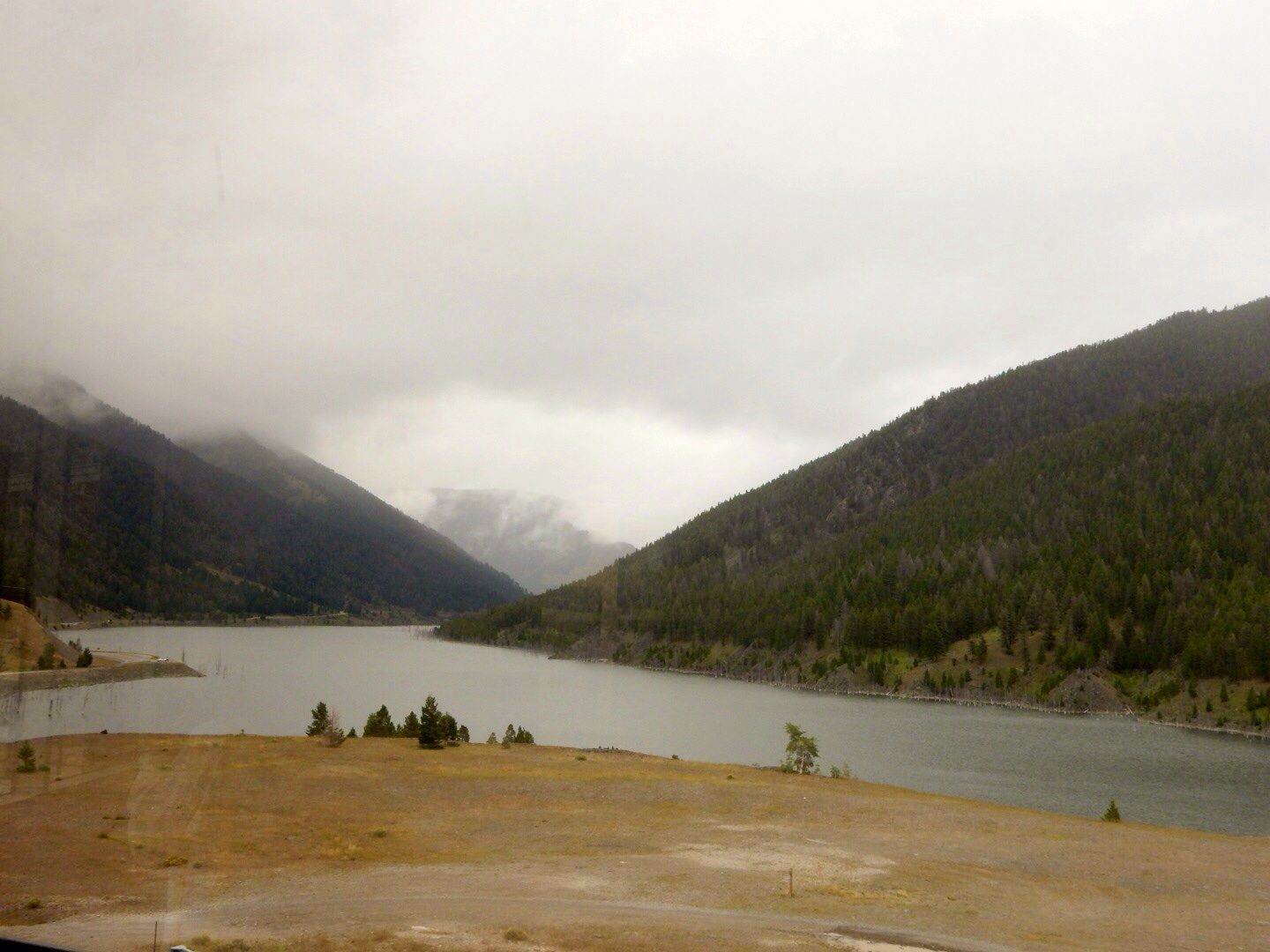
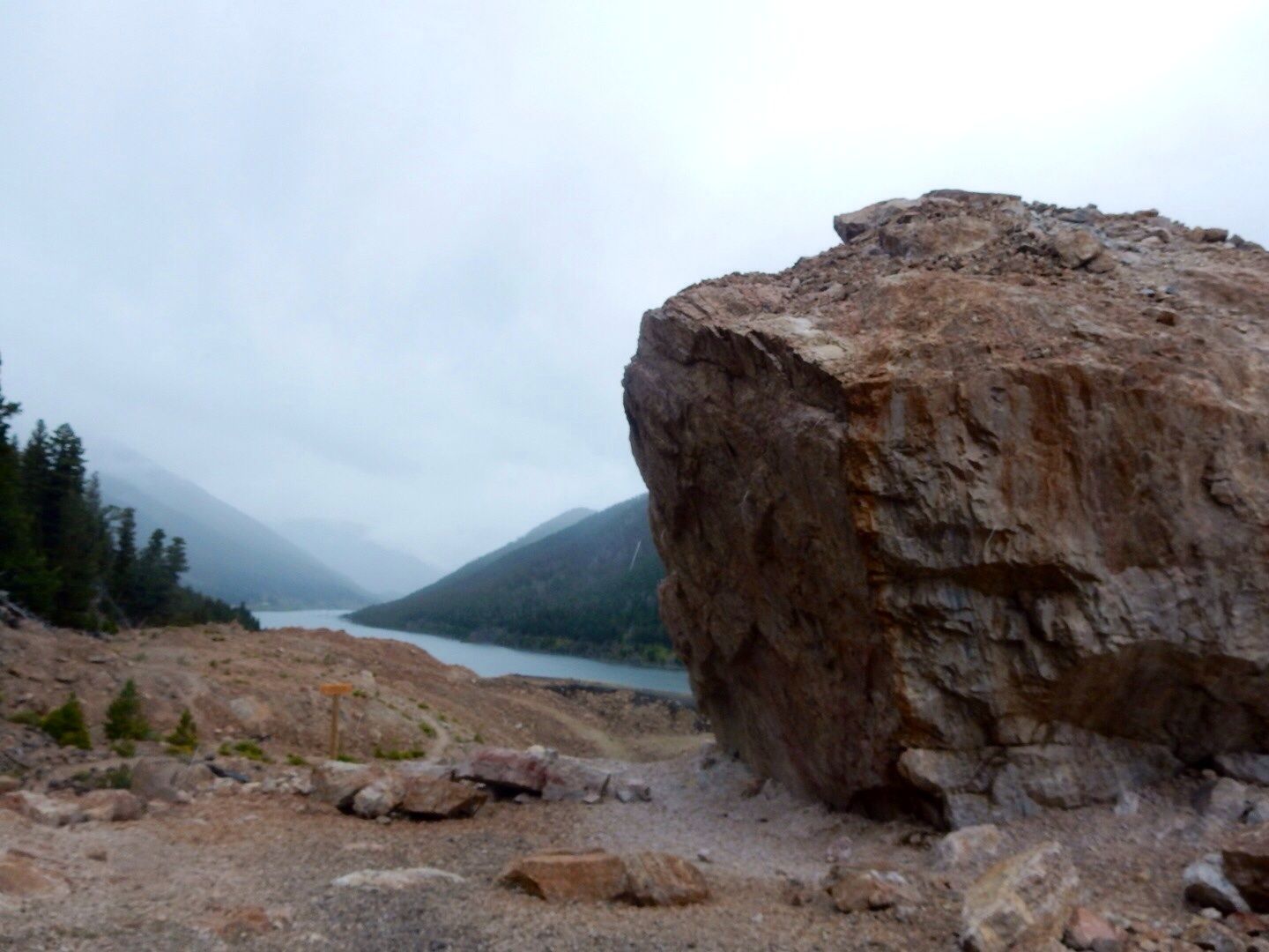
In some areas the vertical displacement was 20'. The Madison River and Highway 287 were completely covered by the landslide creating the lake that is 190' deep and 6 miles long. Here's the view of Earthquake Lake from the Visitor Center.
The Hebgen Lake tilted 20' to the north during the quake, creating waves for the next 12 hours that brought more devastation to the area.
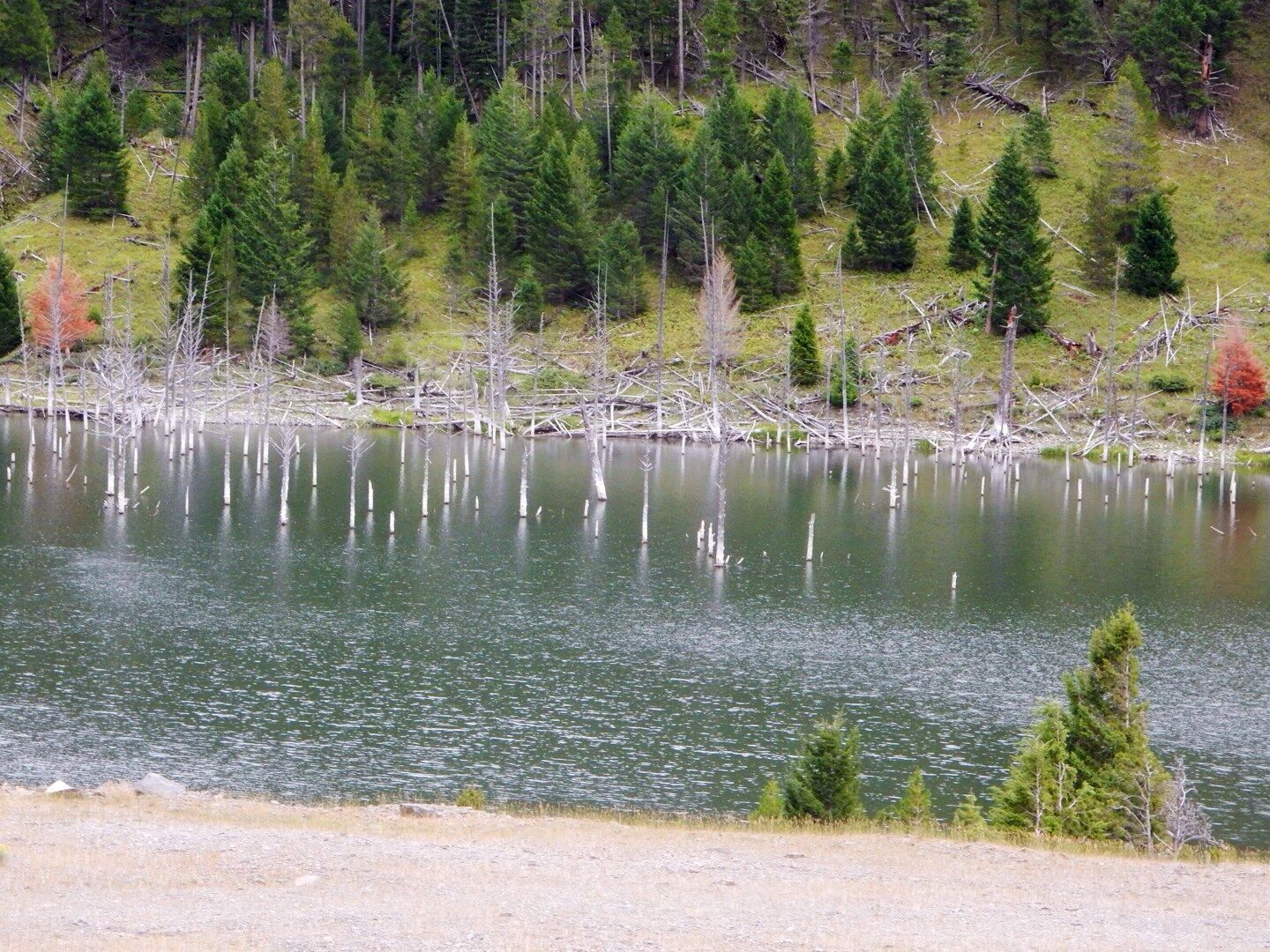
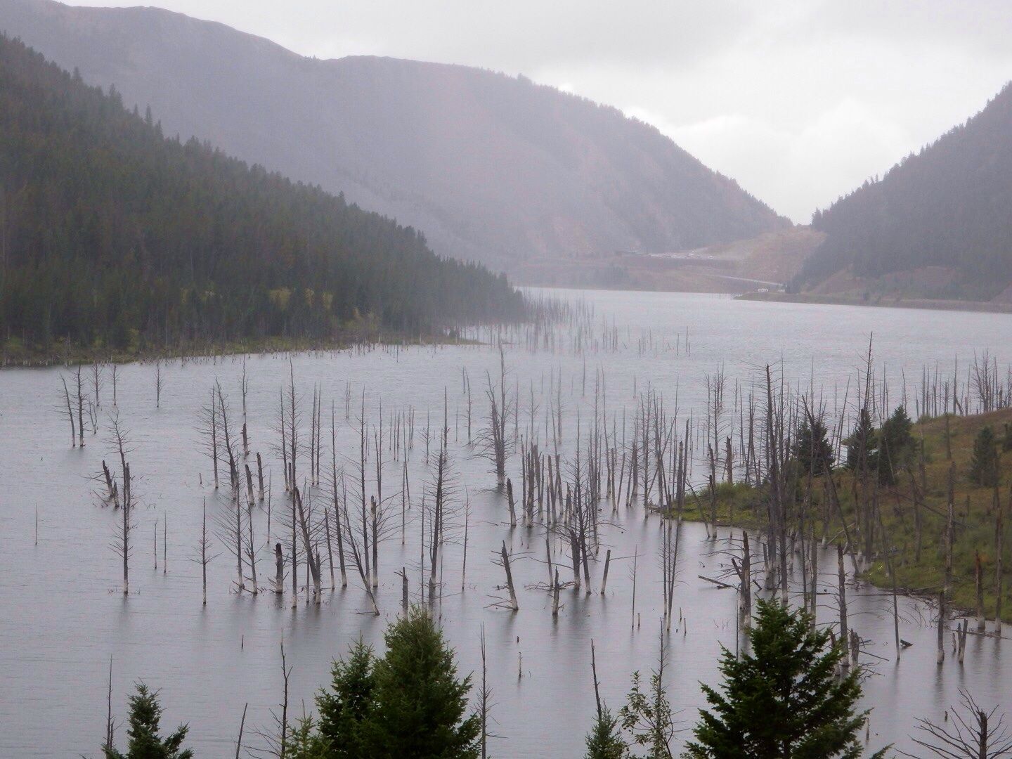
Trees were uprooted (many were covered entirely or partially by the water) and cabins, cars, and other debris floated down the rising waters of the lake. Many trees can still be seen partially covered by the flood waters today - 55 years later!
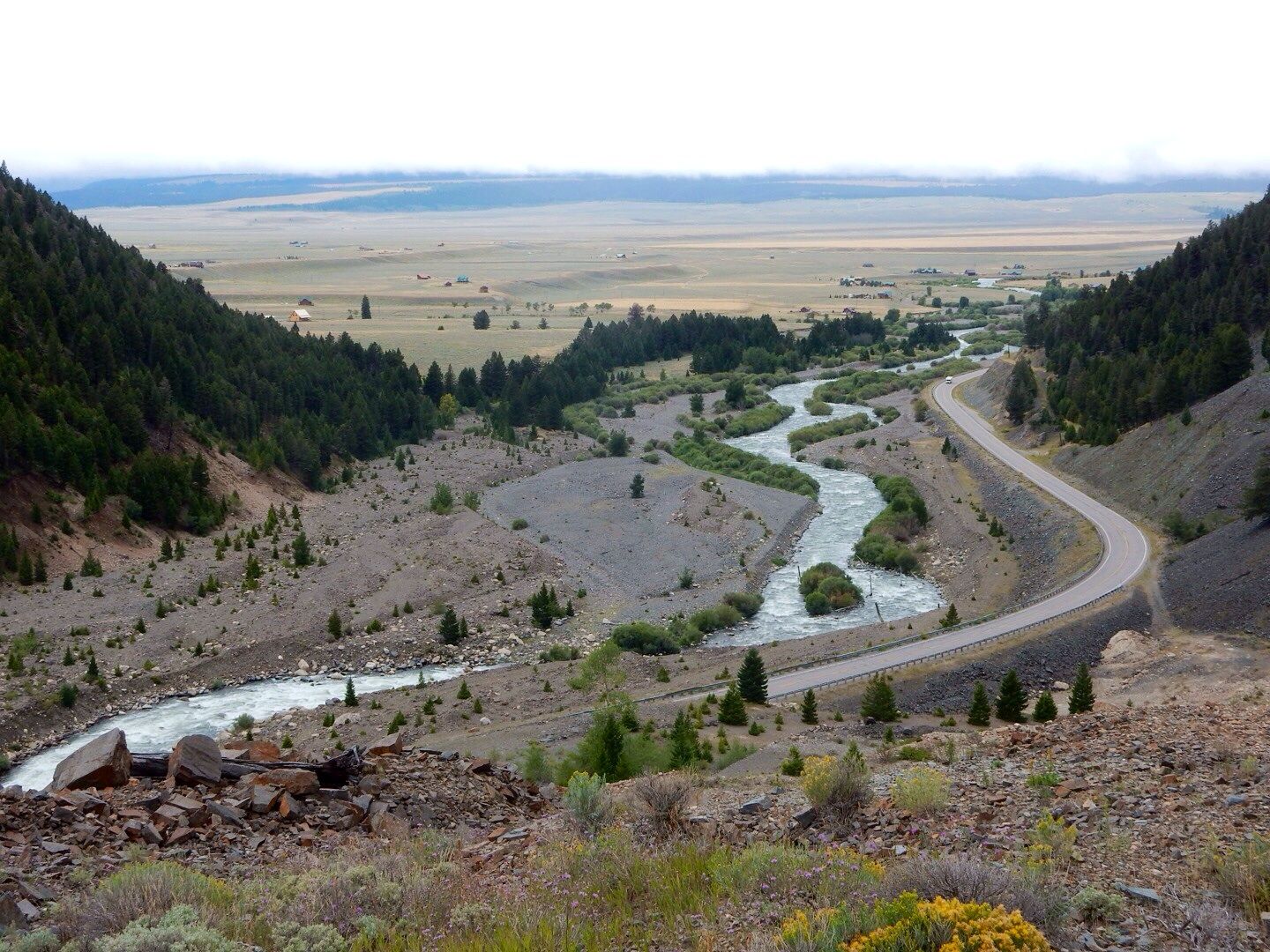
After the earthquake the Army Corp of Engineers cut a 250' wide and 14' deep channel into the landslide to allow the Madison River to flow through the blockage thereby mitigating the continued flooding and rising of the water in the newly-formed lake. By September 10, water began flowing through the spillway. It was subsequently widened and deepened.
In this photo you can see where the river flows today (near the bottom and middle of the photo).
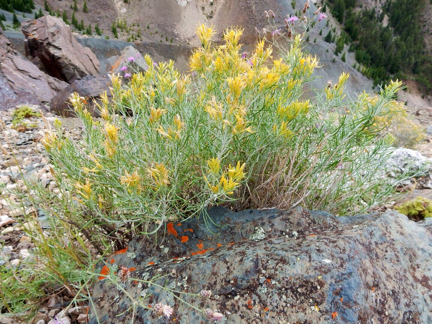
Loved the yellow flowers and bright orange lichen on the rocks at the overlook.
Here is the view today below the slide. Of course, Highway 287 was rebuilt and runs along the new path of the Madison River.
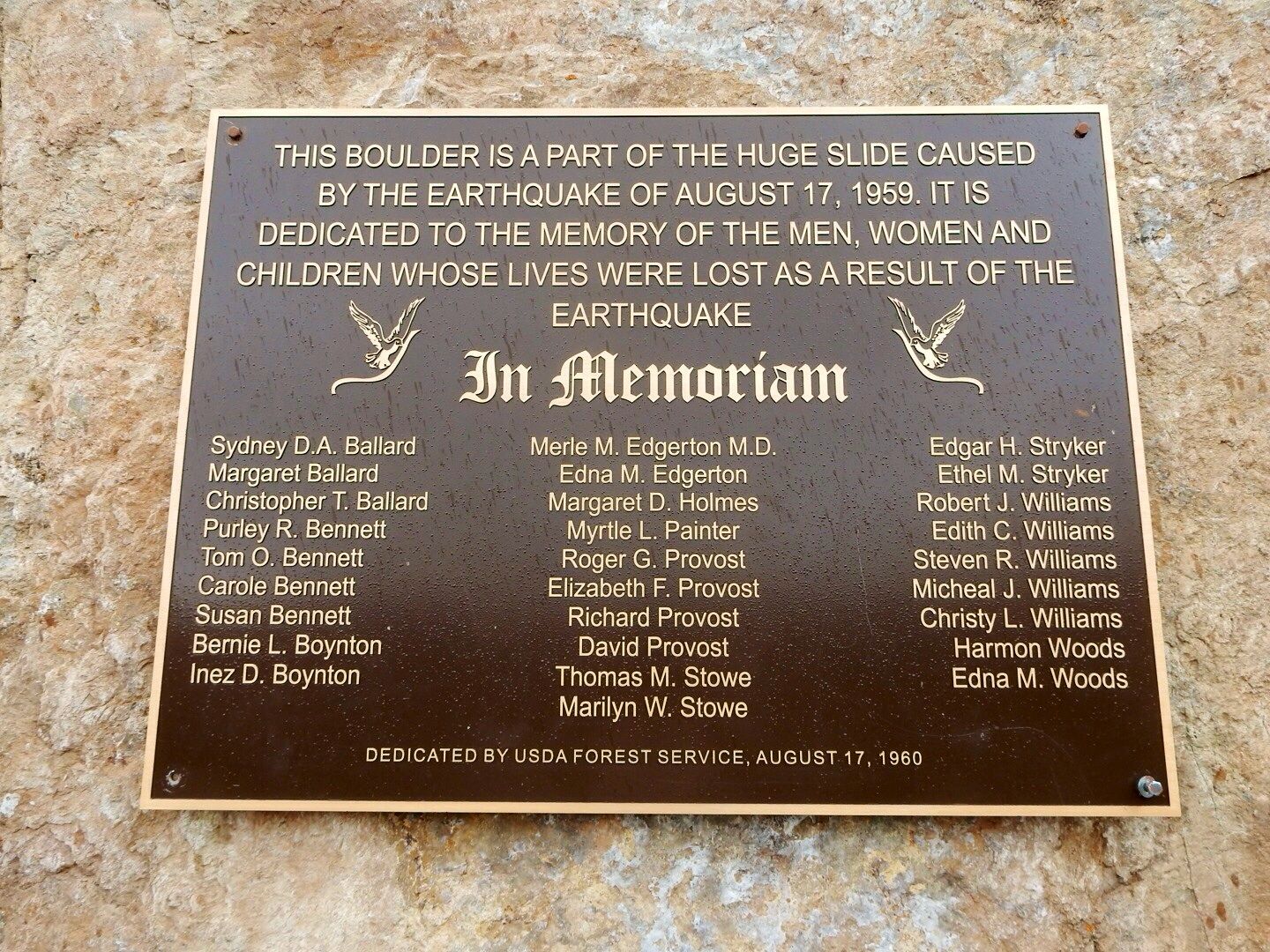
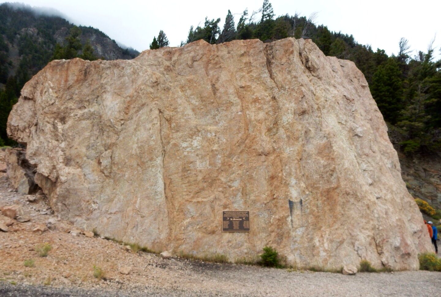
A memorial plaque in remembrance of those who lost their lives during the disaster has been placed on one of the boulders. 28 people were killed and another 250 injured. 19 of the deceased were never found and are buried under the landslide near the site of the memorial.
This is the 4th worst earthquake in North America. It was felt across 600,000 miles (six states). It also caused geysers to erupt in Yellowstone National Park and impacted other geothermal features there.
In 1967 a Visitor Center was opened by the U.S. Forest Service on top of the landslide. Be sure to check out the exhibits here and see the video about the disaster. There are great views of the landslide and lake as well from the floor-to-ceiling windows. A small book store has interesting books and information about the area.
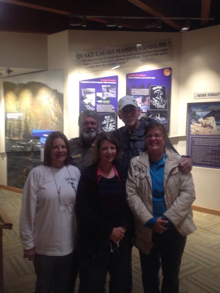
Our friend, Peggy, introduced us to a friend of hers, Dick D., who taught school years ago in North Carolina, near where we all lived in the 1960s-1970s. He was working at the Visitor Center today. Here's a photo of all of us. Bottom row: Peggy, Lynn, me; back row, Dick and John. What fun to meet him and catch up on some old times.
In the Gallatin National Forest this place is 27 miles northwest of West Yellowstone and well worth the time to visit. Thanks to Lynn and Peggy for taking us to this place.
Website: www.fs.usda.gov/detail/gallatin/specialplaces/
No comments:
Post a Comment