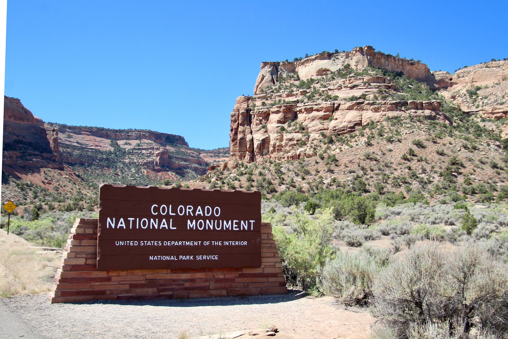
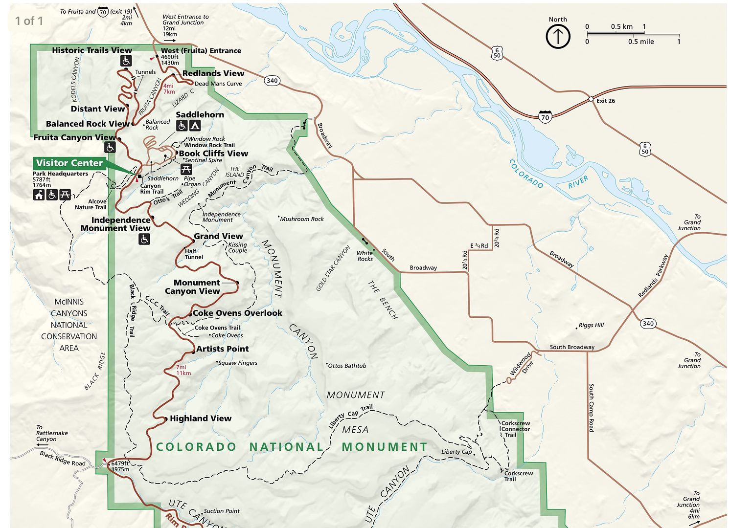
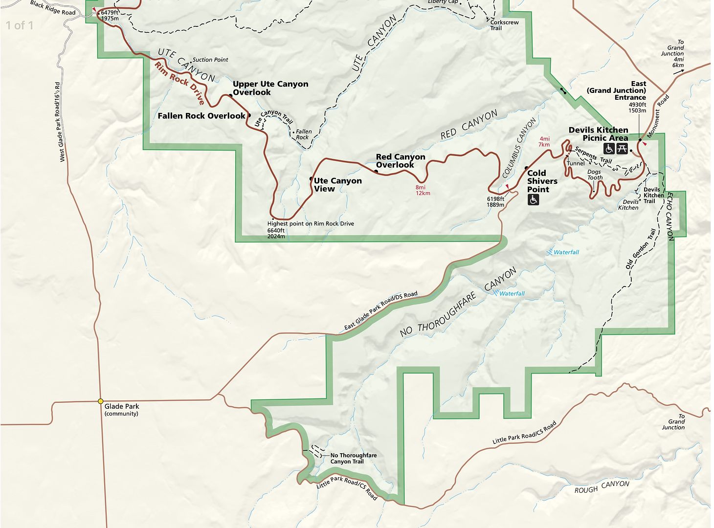
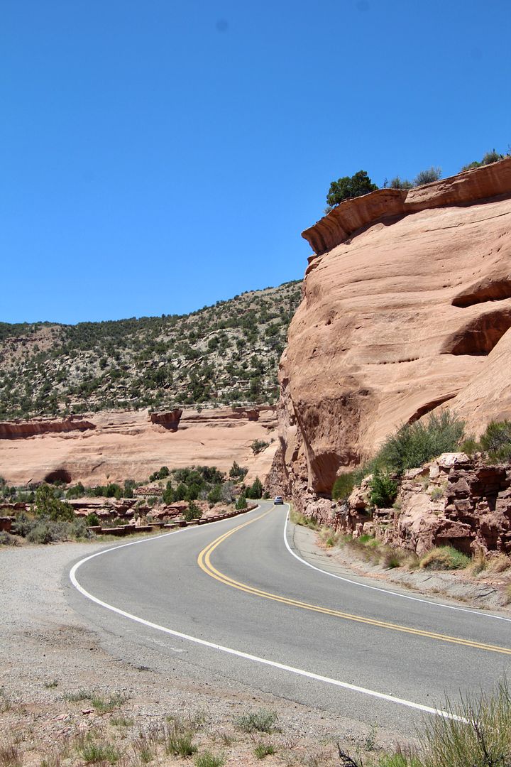
Established in 1911 by President Taft, the monument encompasses 32 square miles of plateaus, canyons, and massive sculpted rocks. A great way to experience the Colorado National Monument is by driving the 23-mile Rim Rock Drive.
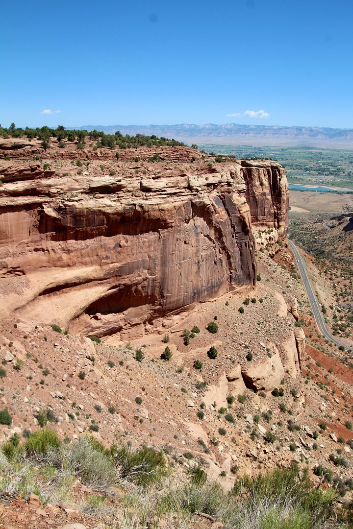
We entered from the west side, where we passed through the Redlands Fault. Erosion along the base of the fault has formed steep cliffs.
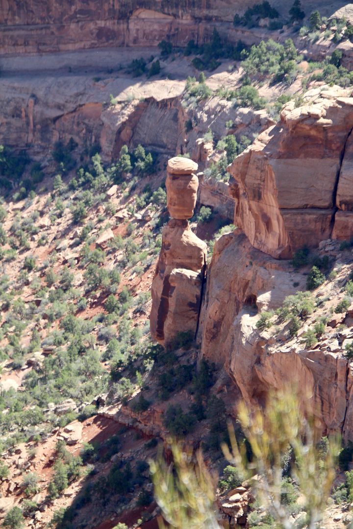
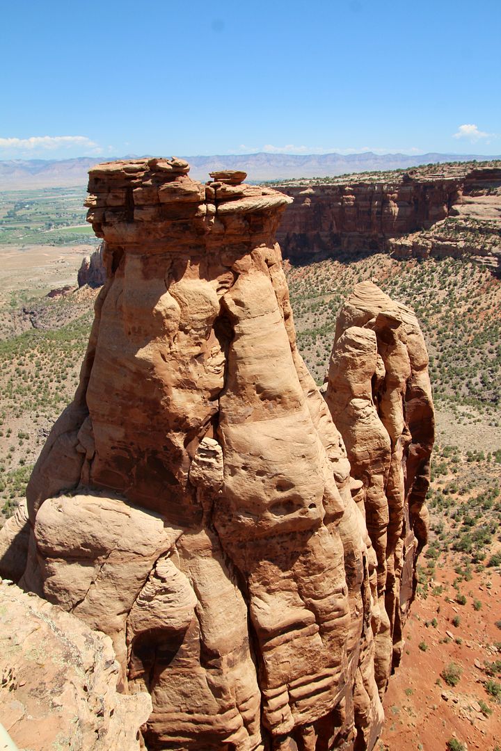
Below is Balanced Rock, a 600-ton boulder that sits atop a pedestal. Erosion has caused most of the rock that once surrounded it to weather away. Flash floods have done most of the canyon carving here.
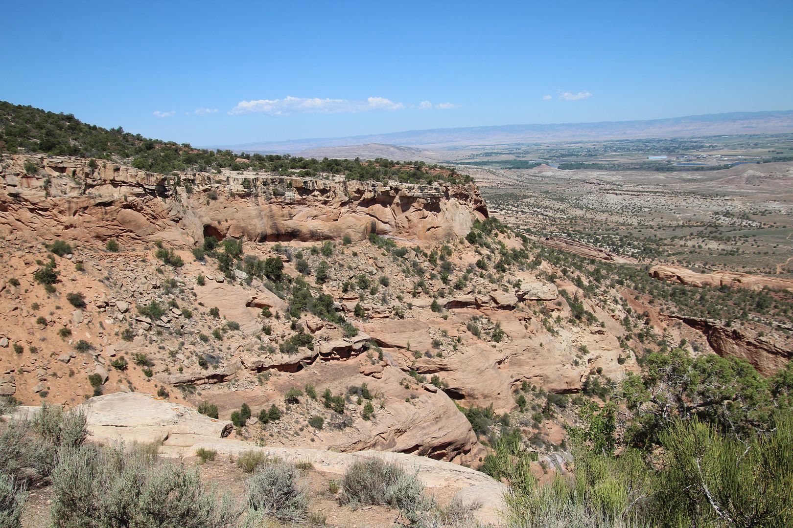
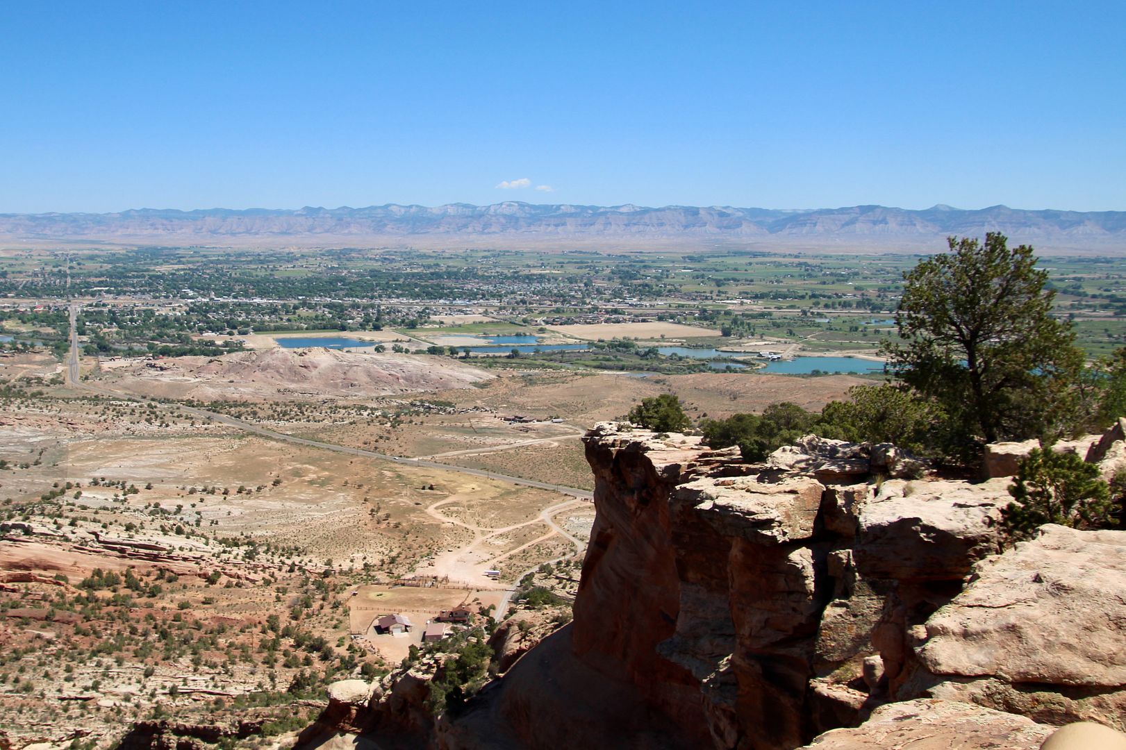
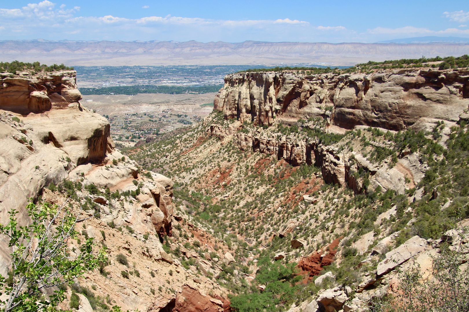
From the Fruita Canyon View, you can see for miles.
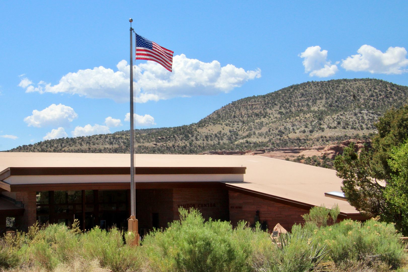
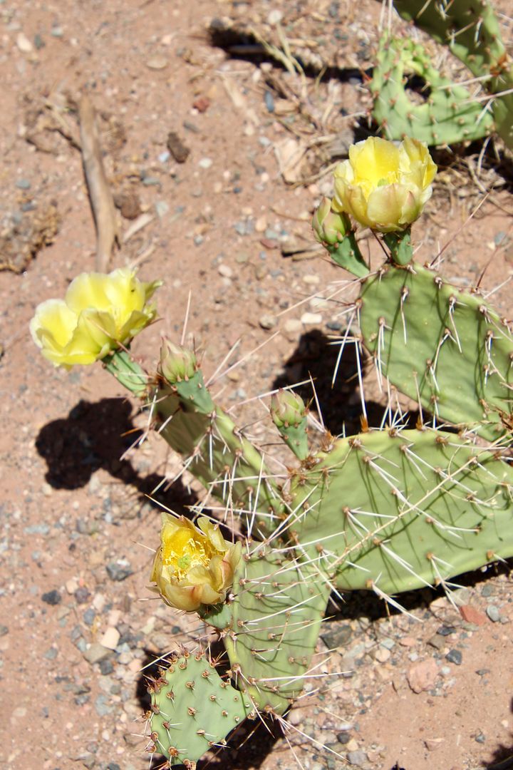
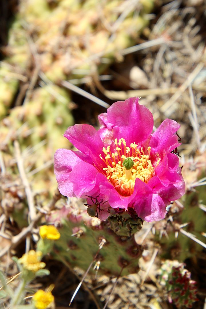
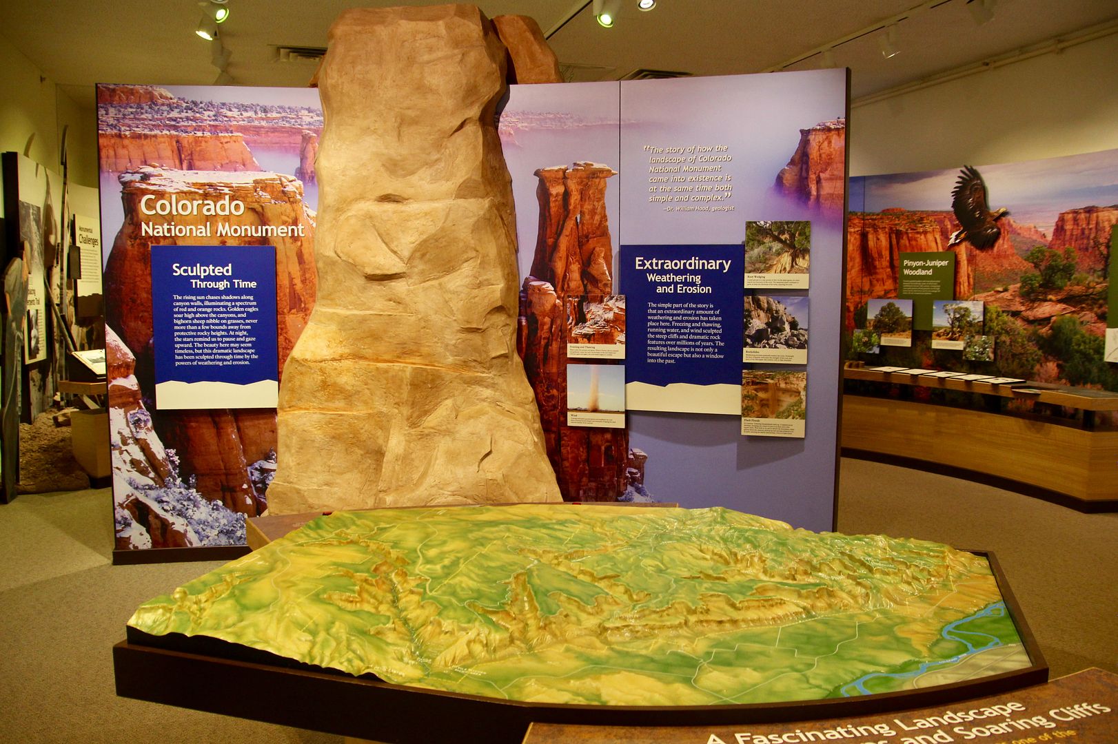
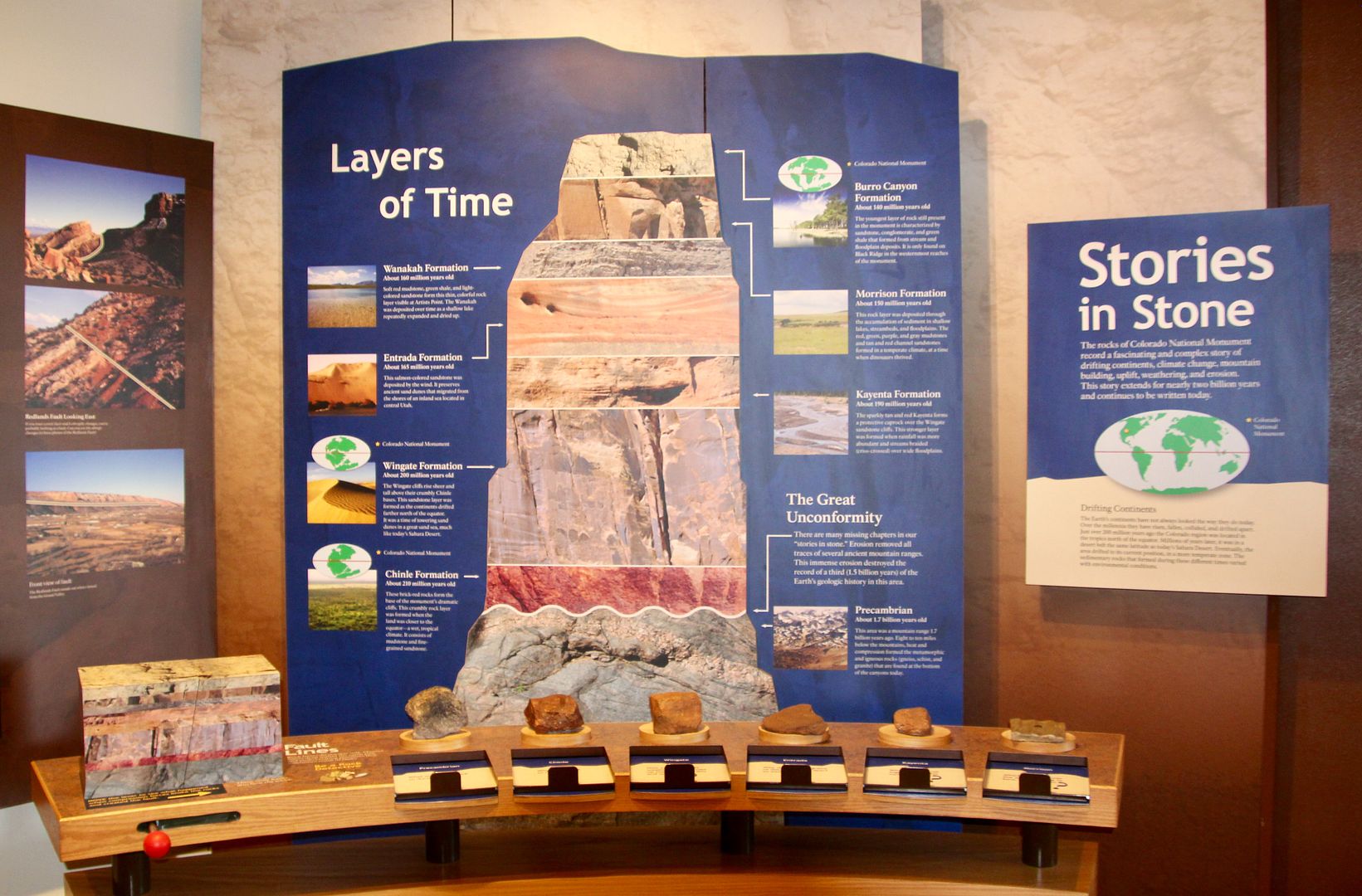
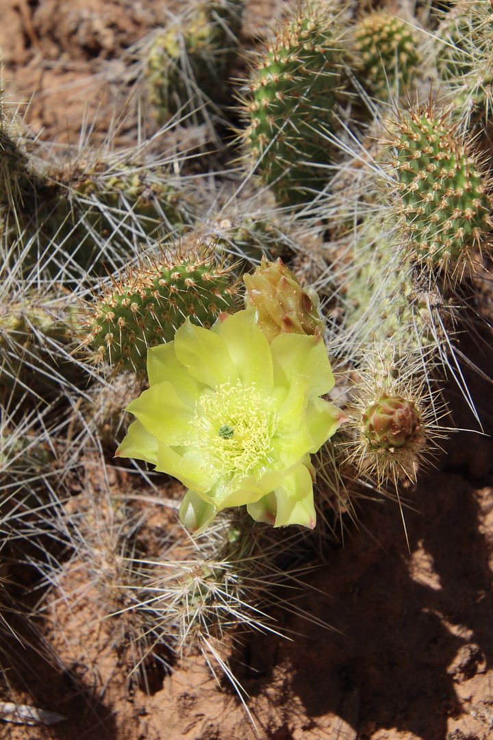
Our next stop was the Visitor Center that is located on a huge sandstone ledge, the Kayenta Formation. Cacti were in bloom outside and we spent time inside checking out the exhibits here.
The displays about the geology of the area were fascinating.
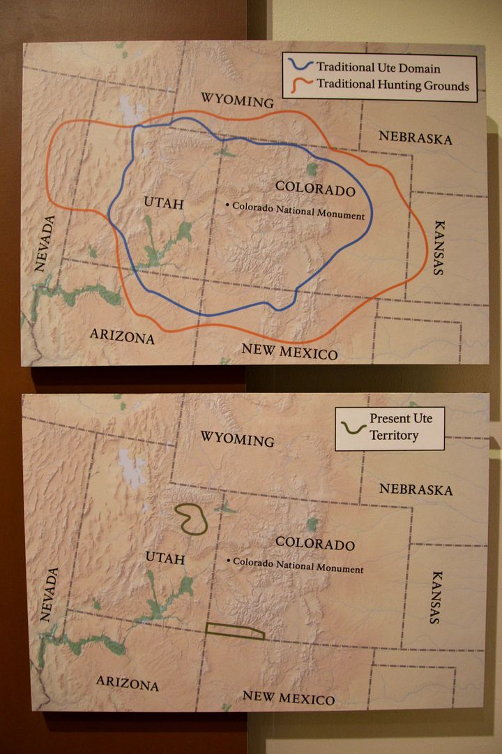
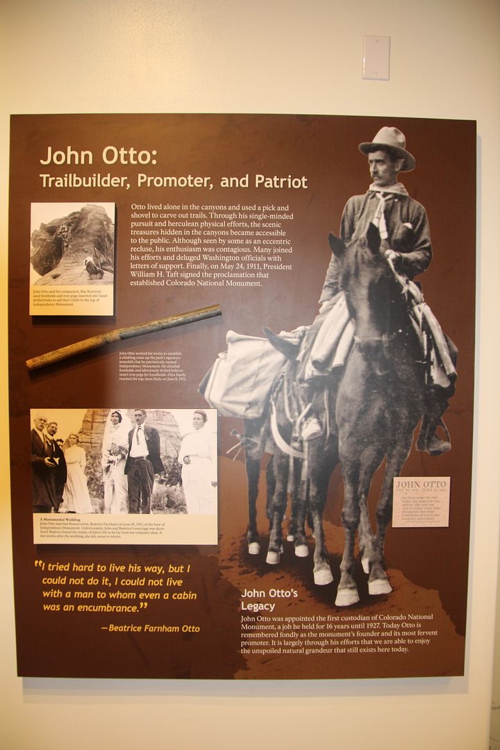
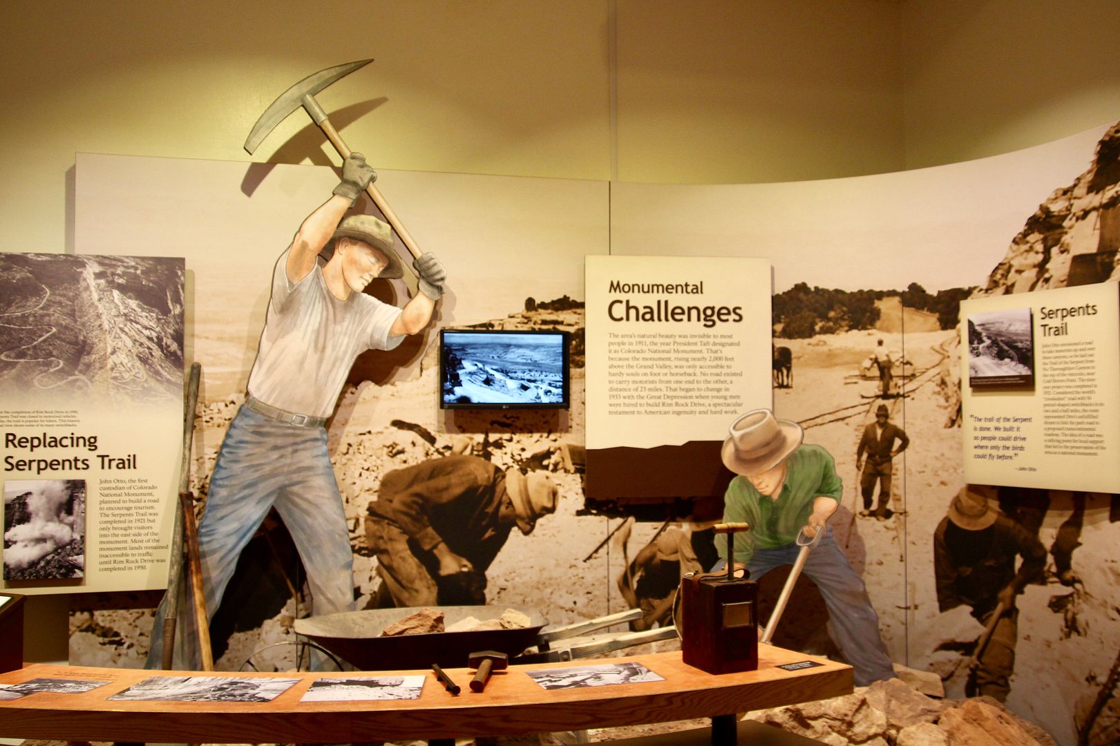
Native Americans inhabited this region for thousands of years. The two maps in the first photo show the region where the Utes lived and hunted; and, the second shows the tiny space that is their present-day Ute reservation. In 1906, John Otto, first saw this land and fell in love with it. He lived in a tent for years while building trails, scaling towering rock formations, and building the Serpent Trail on the eastern side of the park (enabling automobiles to venture into the monument for the first time). He led fundraising efforts and was instrumental in gaining recognition for the region as a national monument.
The Serpent Trail road took 9 years to build and was completed in 1921. It had 54 switchbacks in just 2.5 miles! It was a staggering effort at the time. Most of the land only became accessible by vehicles when Rim Rock Drive was opened in 1950.
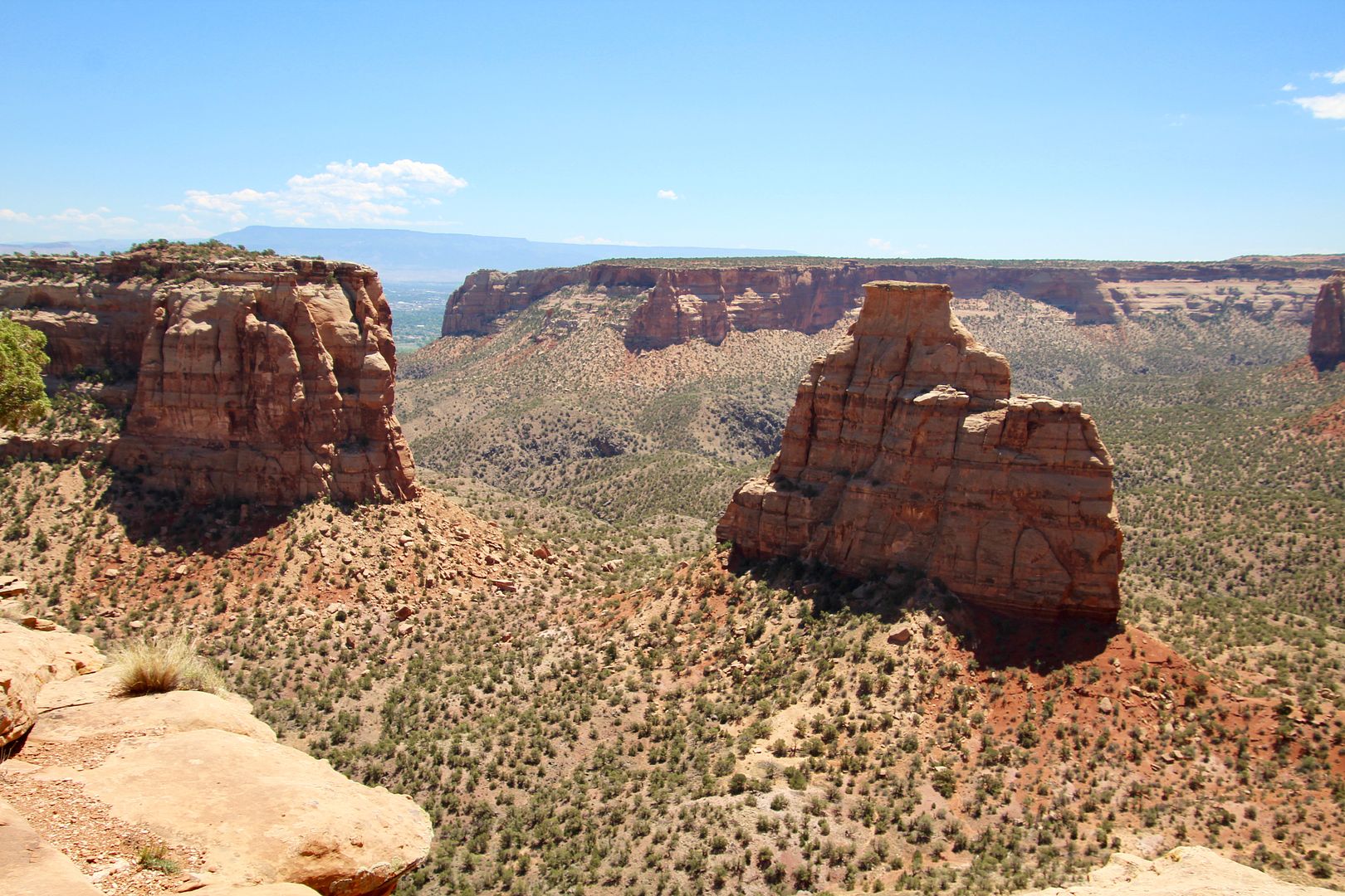
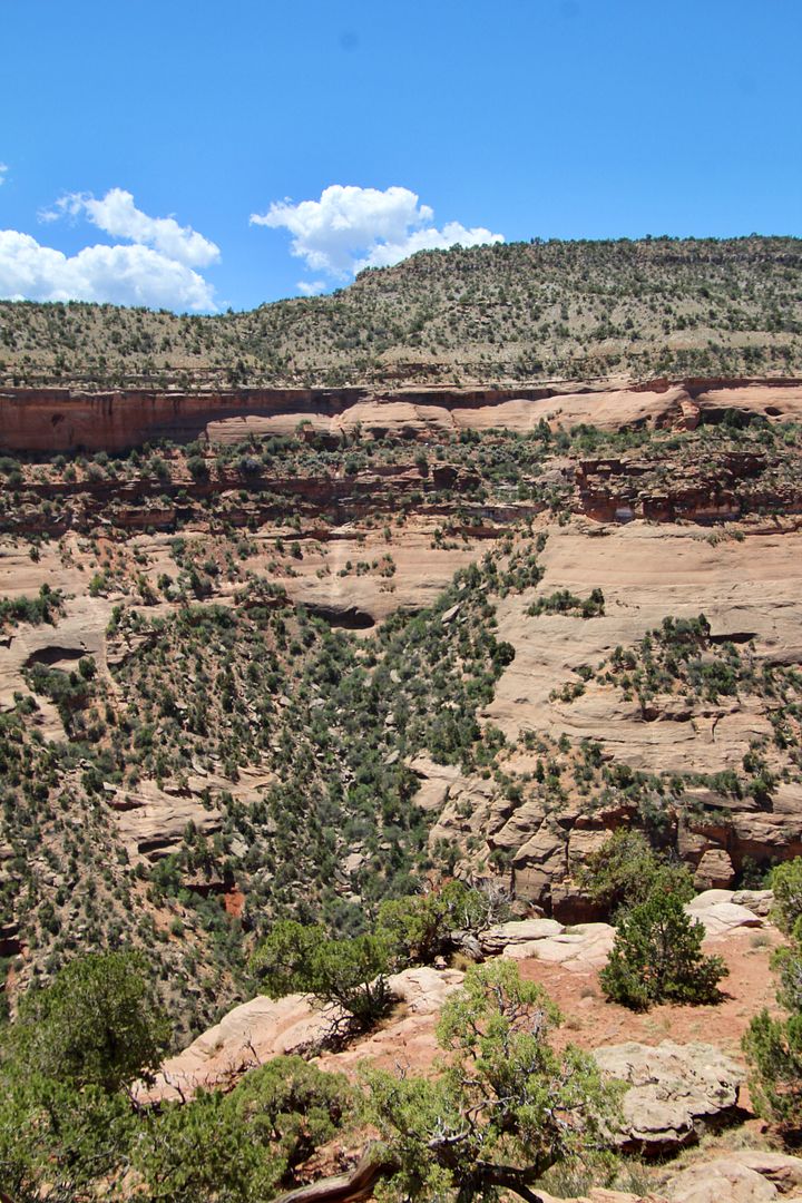
We continued on Rim Rock Drive to Monument Canyon. The rock formations here continued to amaze us!
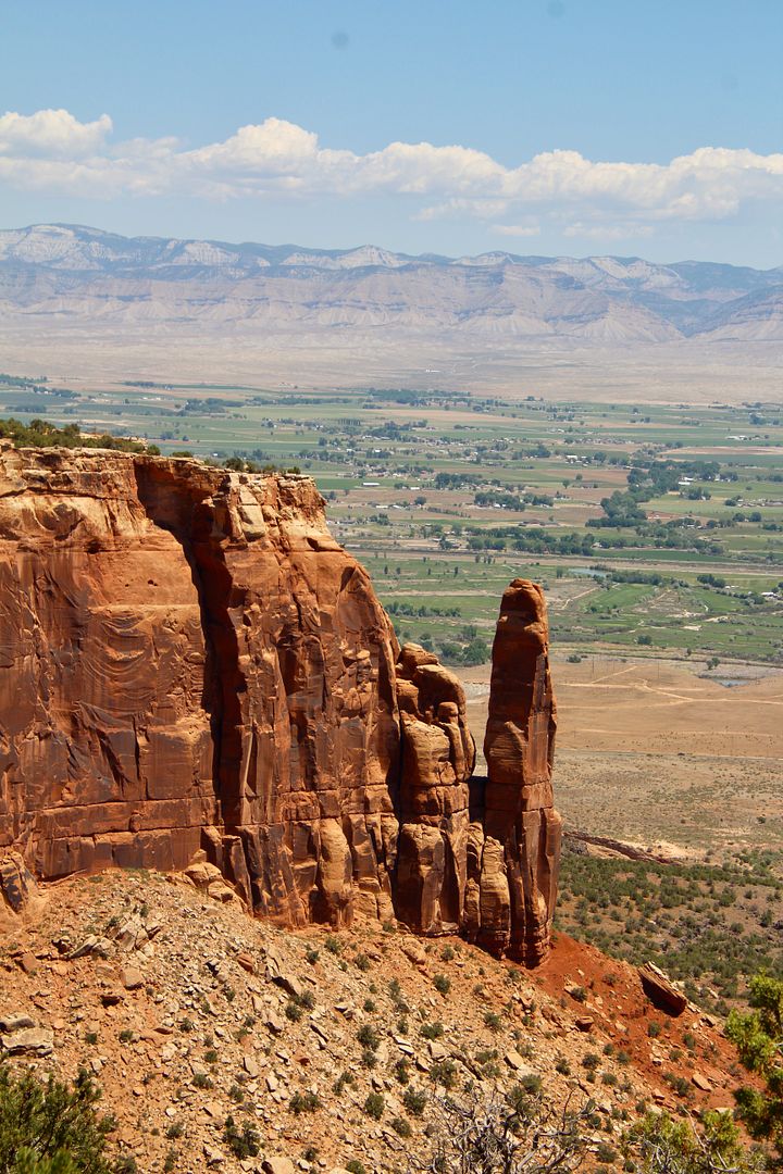
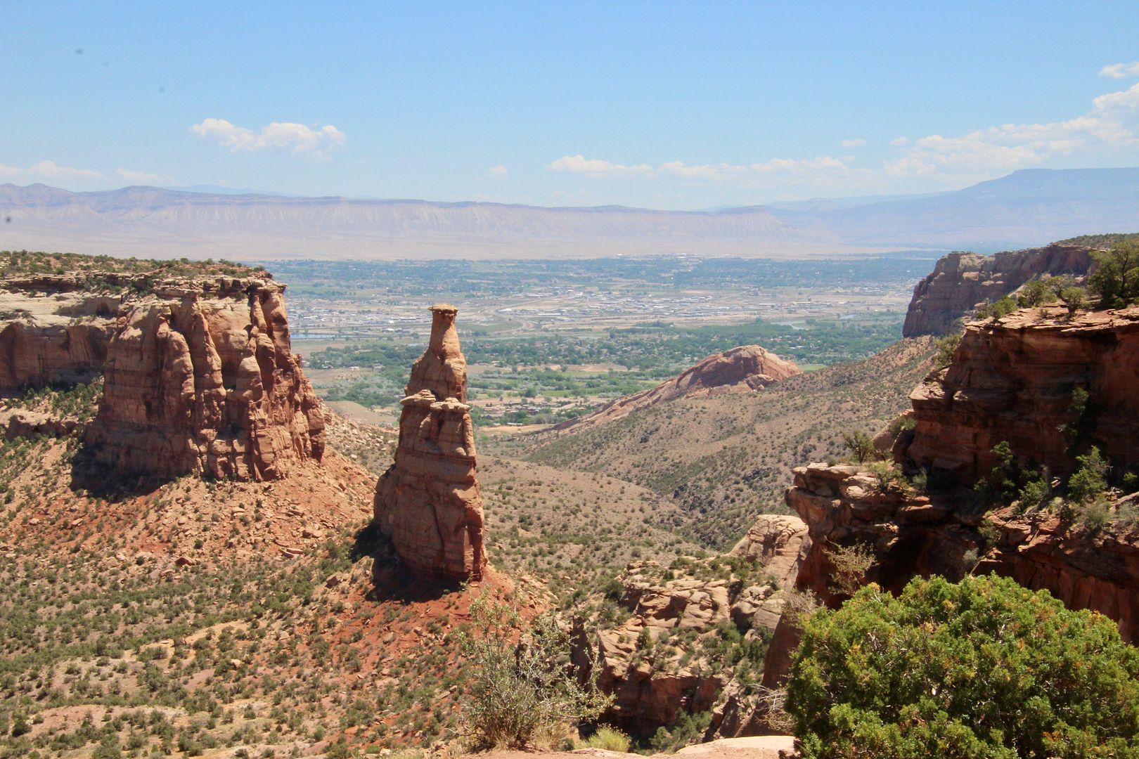
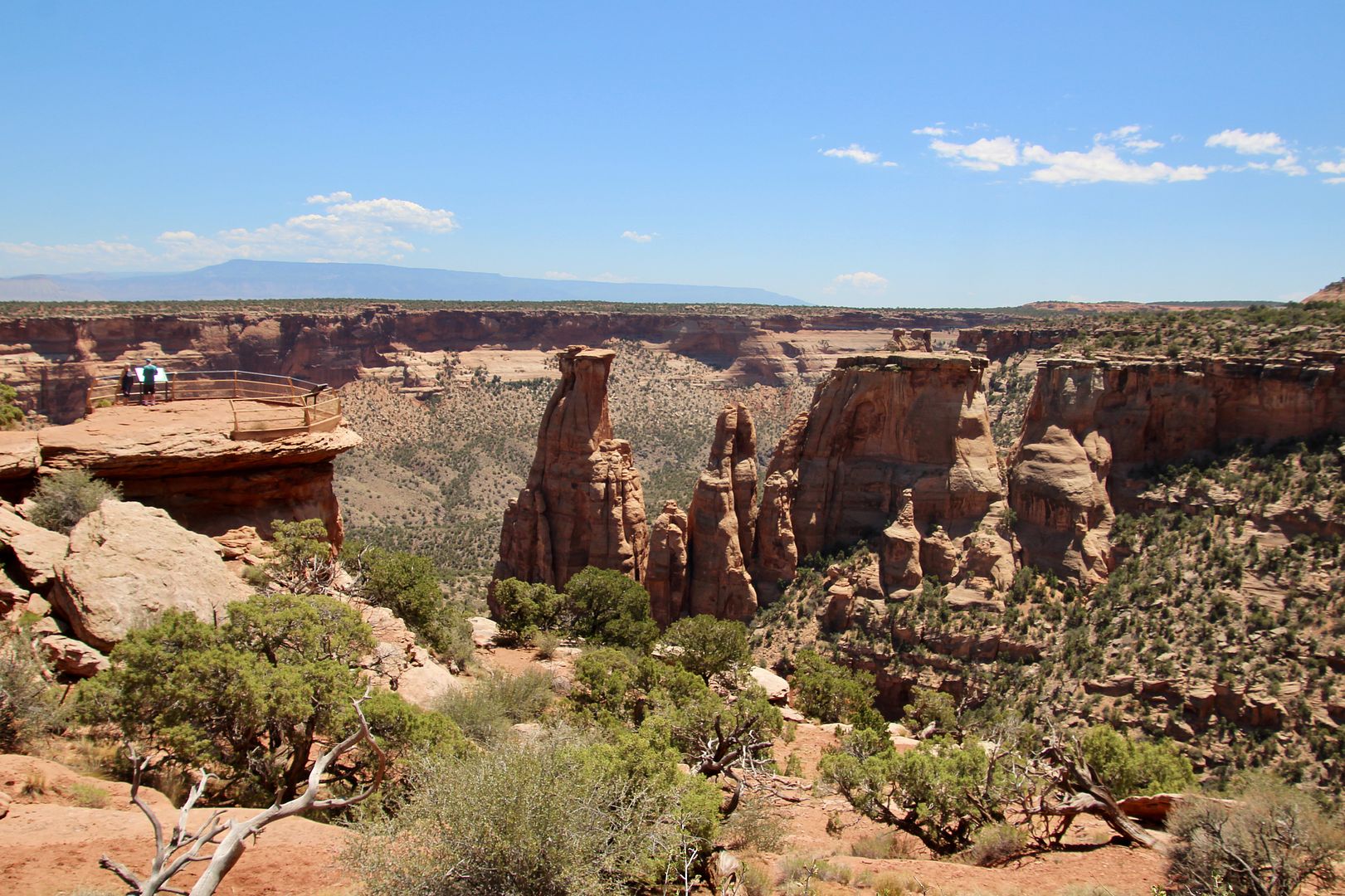
Independence Monument was once part of a continuous ridge along the mesa. The formation is 450’ tall and is one of the most popular rock-climbing destinations. Every July 4th, local climbers raise the American flag on top, in recognition of a tradition John Otto began in 1909.
In 1911, John Otto married Beatrice Farnham near the base of the Independence Monument. Unfortunately, their marriage ended after only a few weeks when Otto refused to move from his tent (also located nearby).
There are short hikes to some of the viewpoints, as you can see in the photo below. All of the views are spectacular.
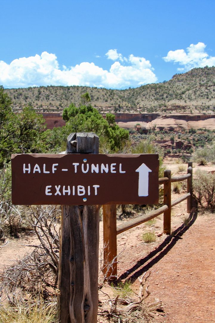
Be sure to check out the Half-Tunnel Exhibit here. Rim Rock Drive was carved out of solid rock (39,000 cubic yards of rock were removed per mile). Twenty minutes after a dynamite-blasting event, 9 workers (of 20 working here at the time) were killed while clearing rubble at Half Tunnel when a huge slap of rock gave way. Two others were killed in separate incidents. The tunnel was subsequently blasted leaving open road.
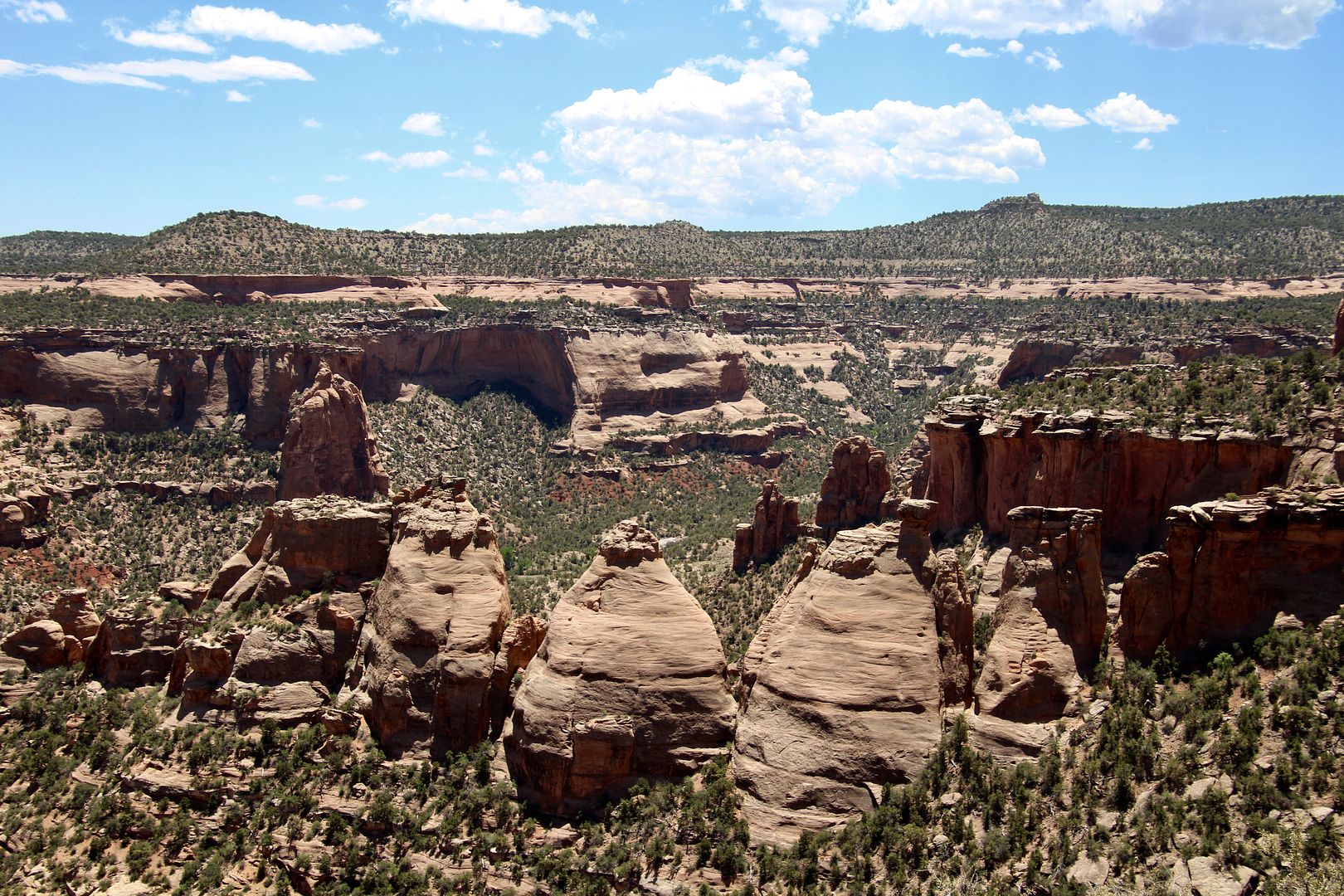
These interesting rock formations are called Coke Ovens as they resemble those built by early miners to convert wood into charcoal for mining.
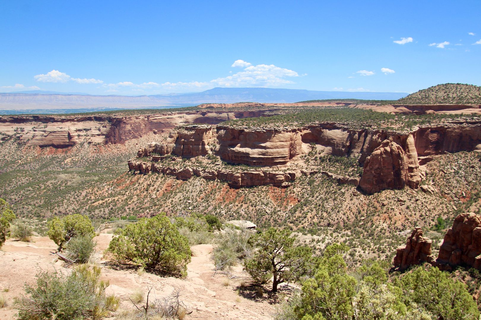
Beautiful panoramic views of the canyons, cliffs and rock formation can be seen from Artists Point.
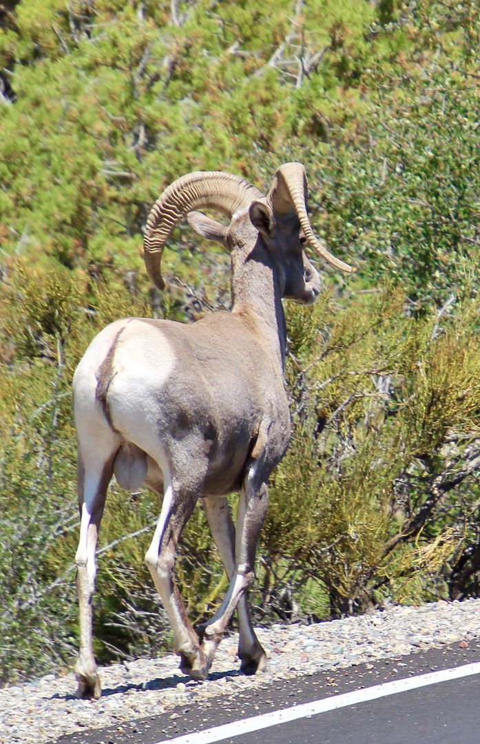
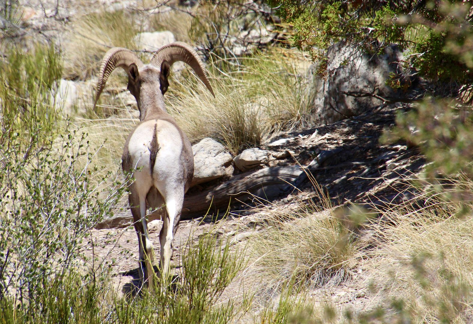
We were thrilled to see this big horn sheep crossing Rim Rock Drive. He promptly disappeared into the vegetation.
Continuing on Rim Rock Drive, the views at Upper Ute Canyon are fantastic.
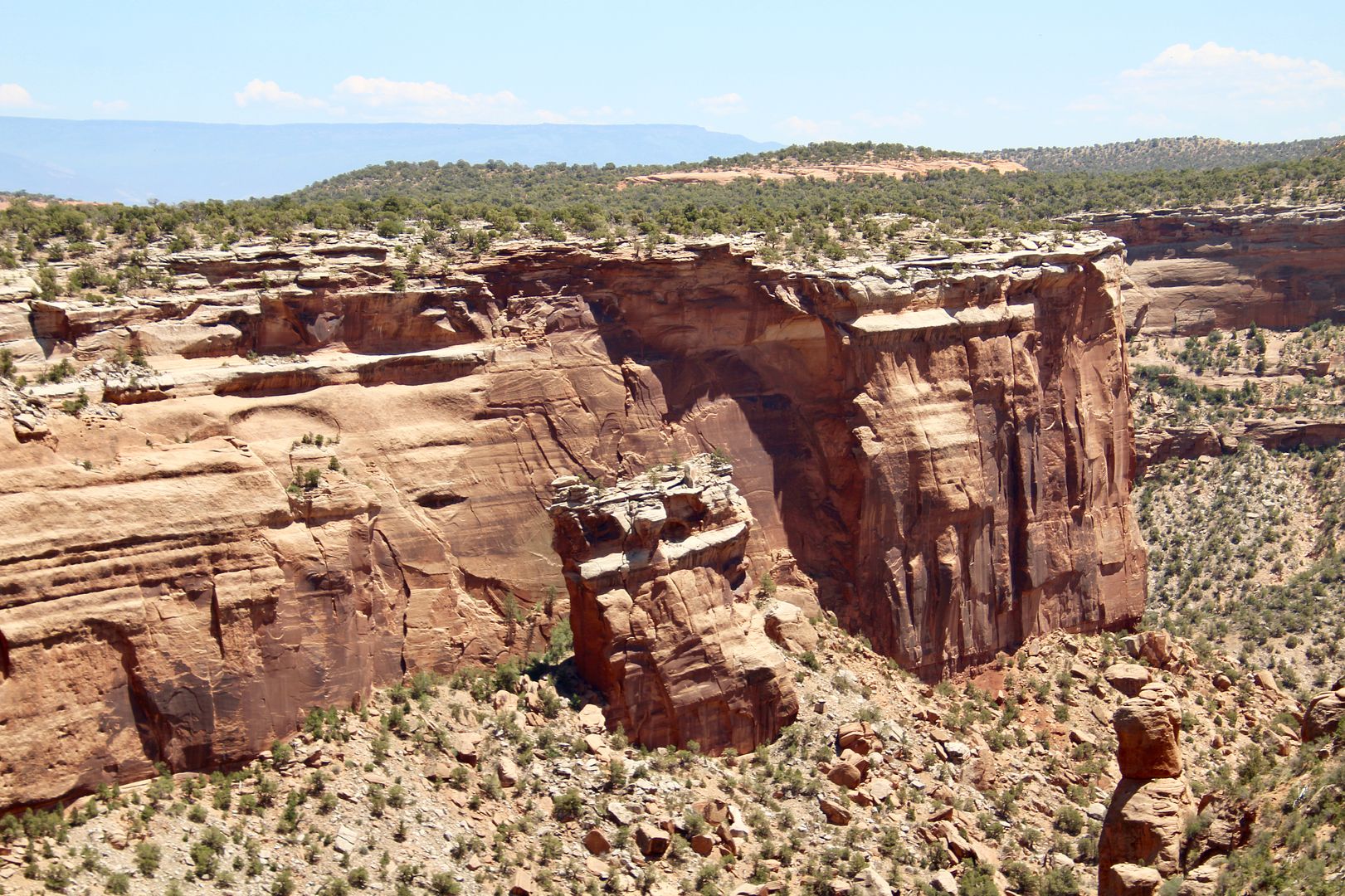
An amazing example of a giant slab of sandstone breaking away from the cliff wall (and sliding down the canyon wall) can be seen at Fallen Rock Overlook. The forces of erosion relentlessly affect the canyons here.
At the Ute Canyon View is the Ute Garden Interpretive Trail (in addition to the views of the canyon).
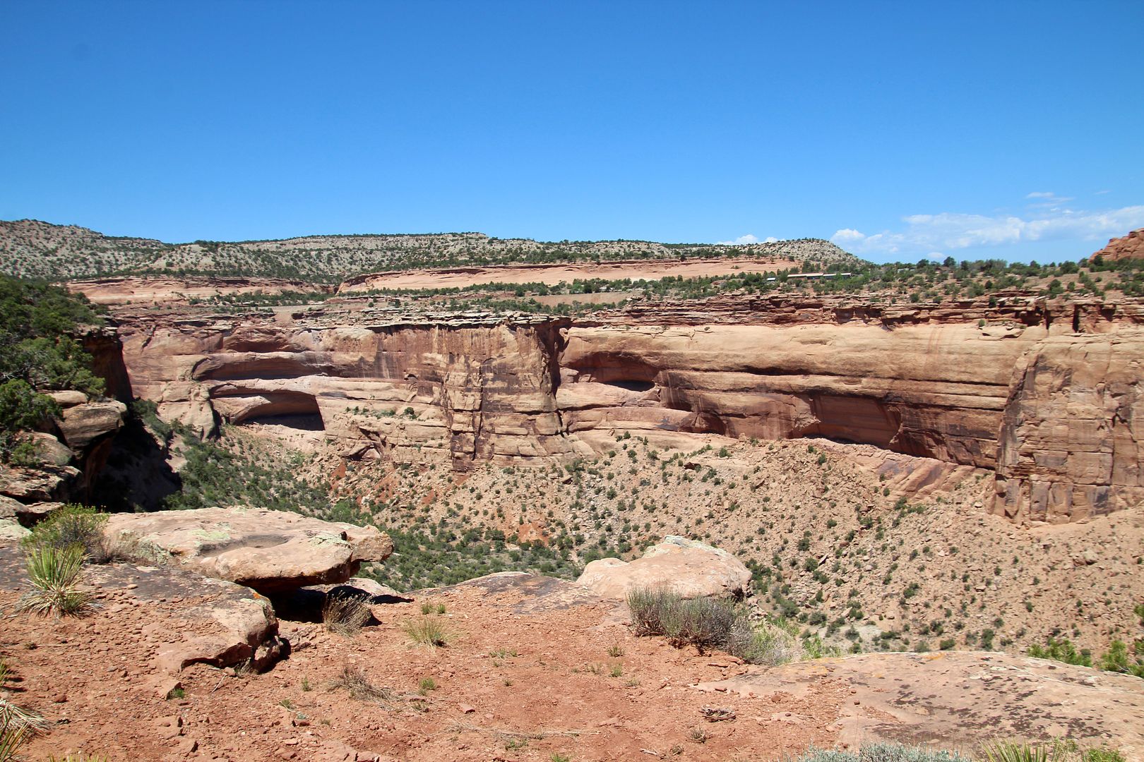
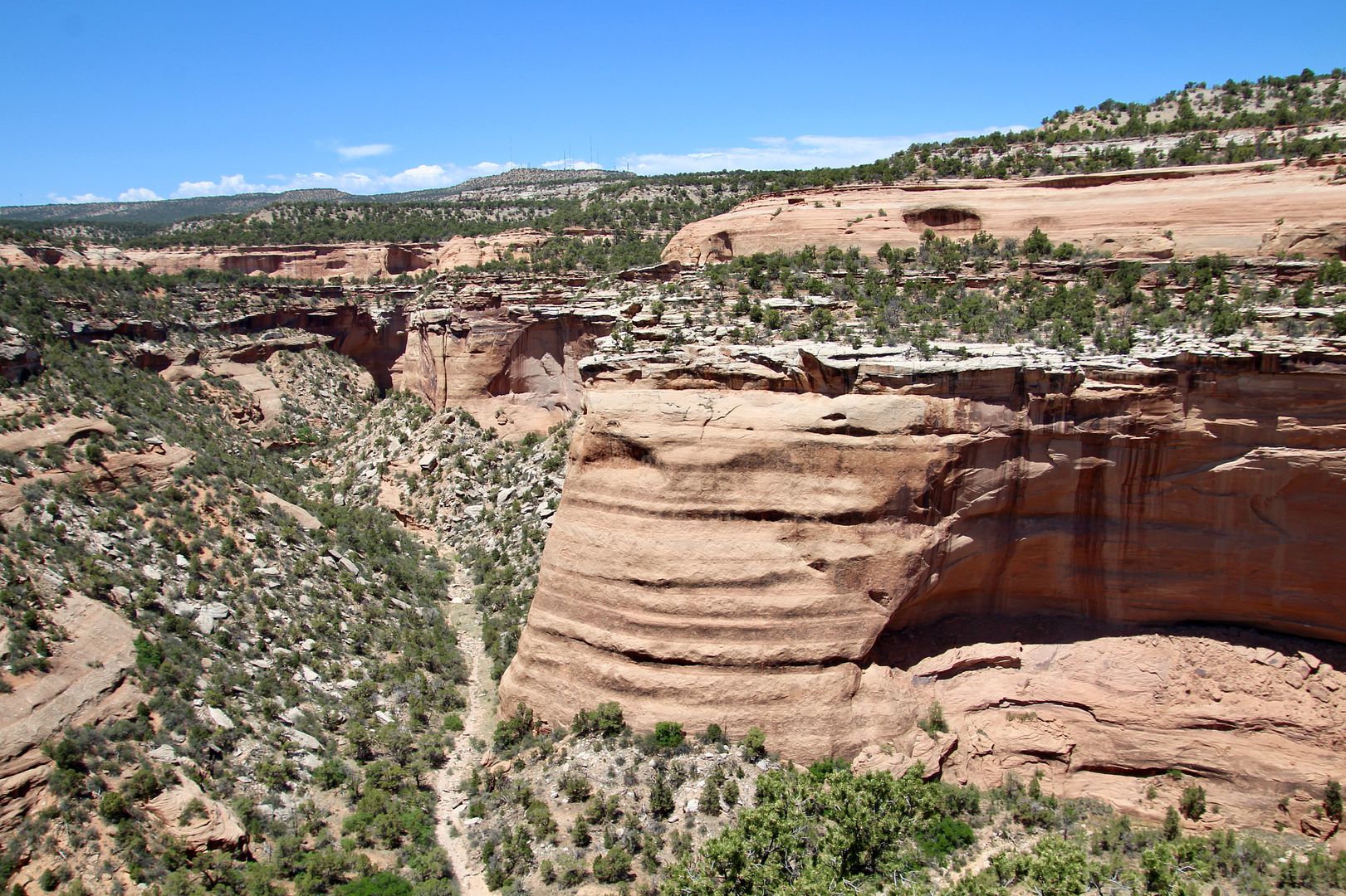
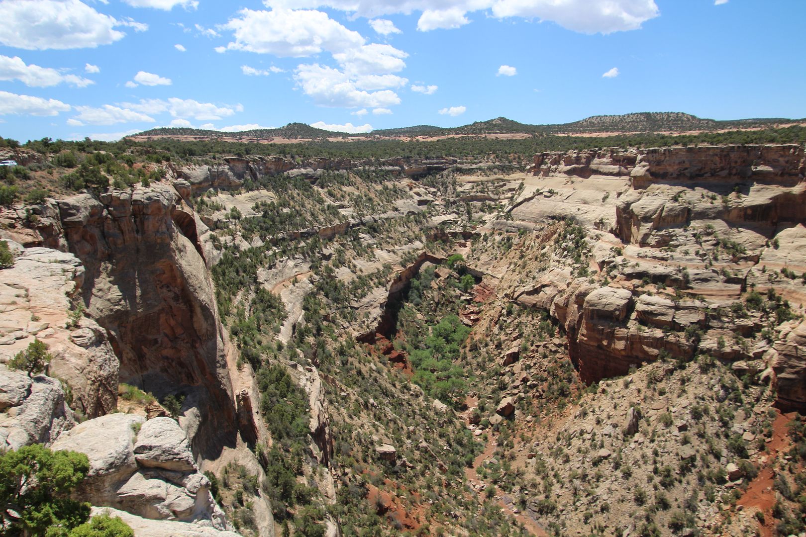
From the Red Canyon Overlook, you can see a U-shaped canyon with a smaller V-shaped canyon below. Water erosion caused the “canyon within a canyon” seen below.
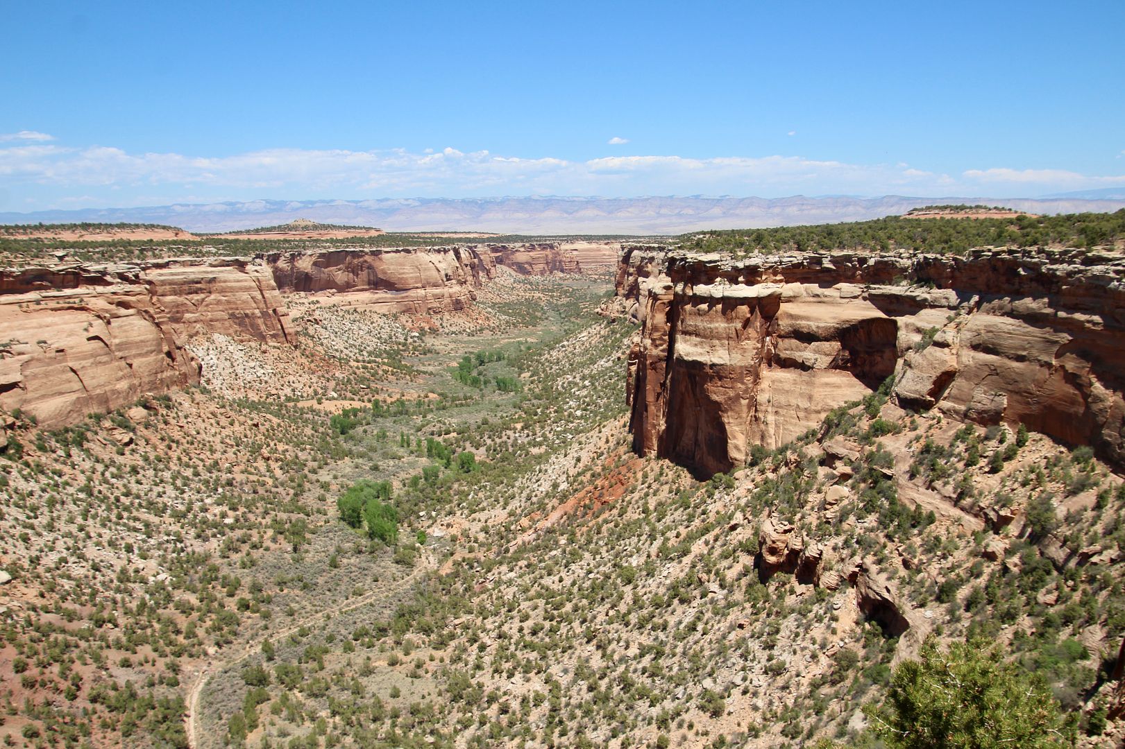
The last stop on the Rim Rock Drive was Cold Shivers Point. From this overlook you can see Columbus Canyon (one of the smaller canyons in the monument).
Wow, we were in awe of the beautiful canyons and rock formations here! This is one of the most beautiful national monuments we have visited thus far. Both backcountry and short hiking trails can be found here. Because dogs are not permitted, we did not do any of the longer trails.
For reservations at Saddlehorn Campground, or for additional information, go to www.nps.gov/colm.

No comments:
Post a Comment