About an hour north of Tucson is Picacho Peak State Park.
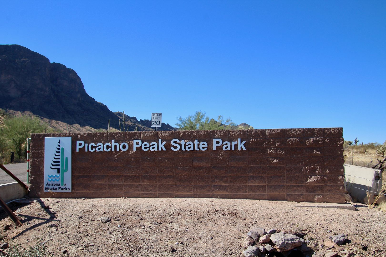
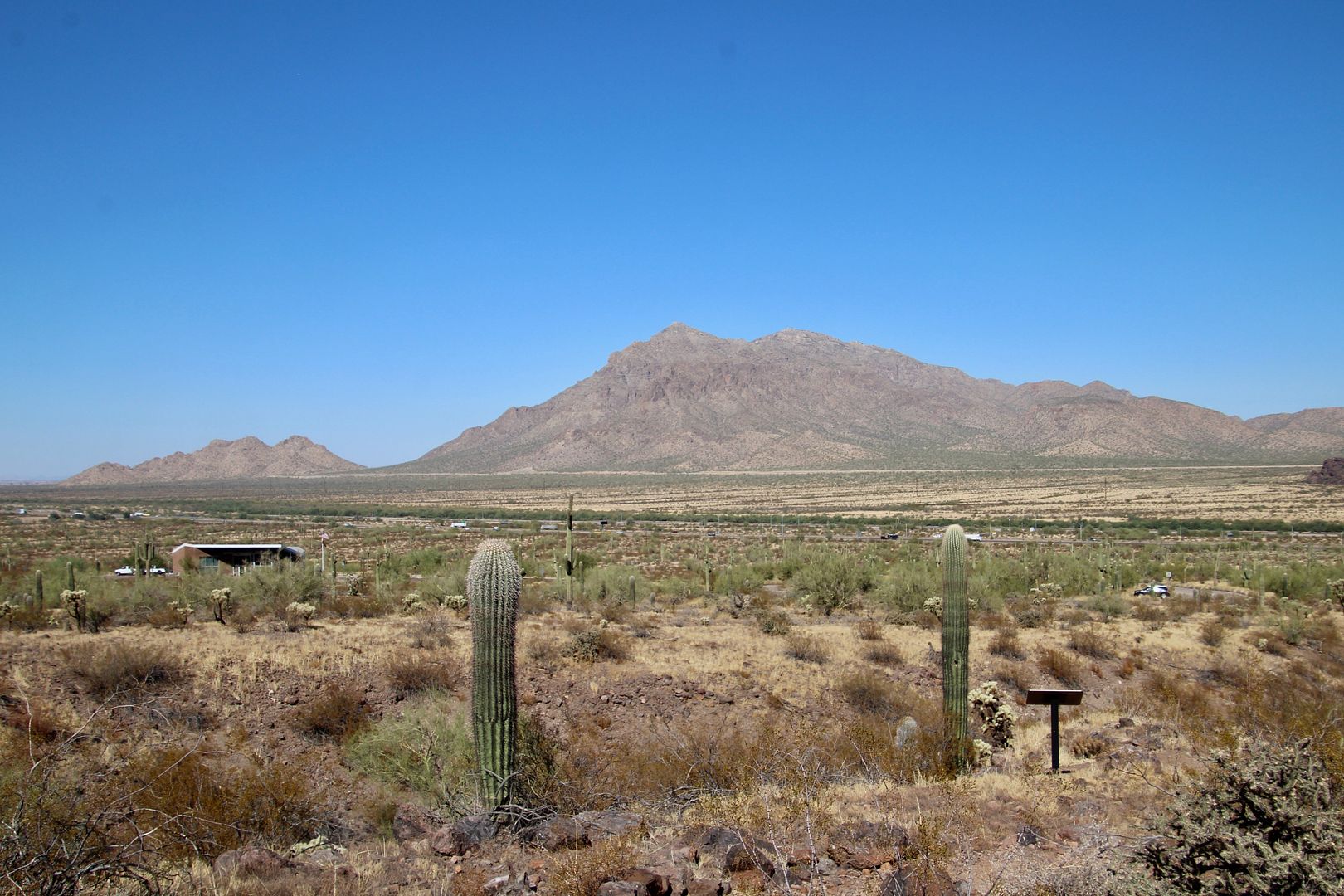
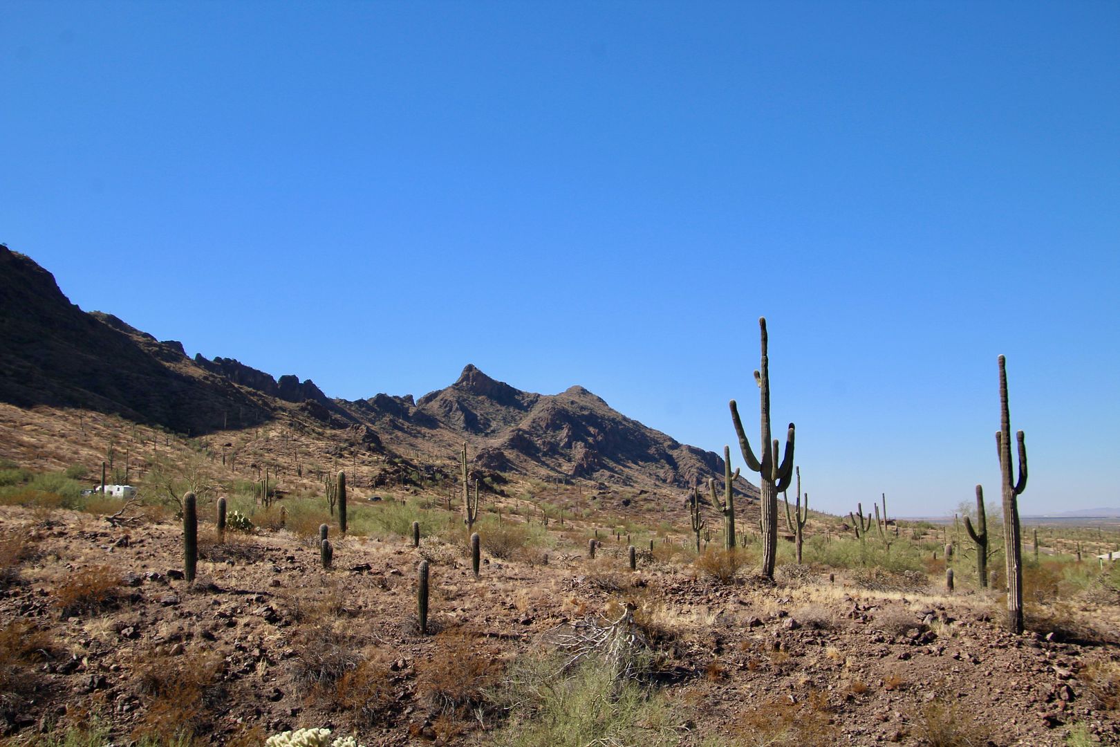
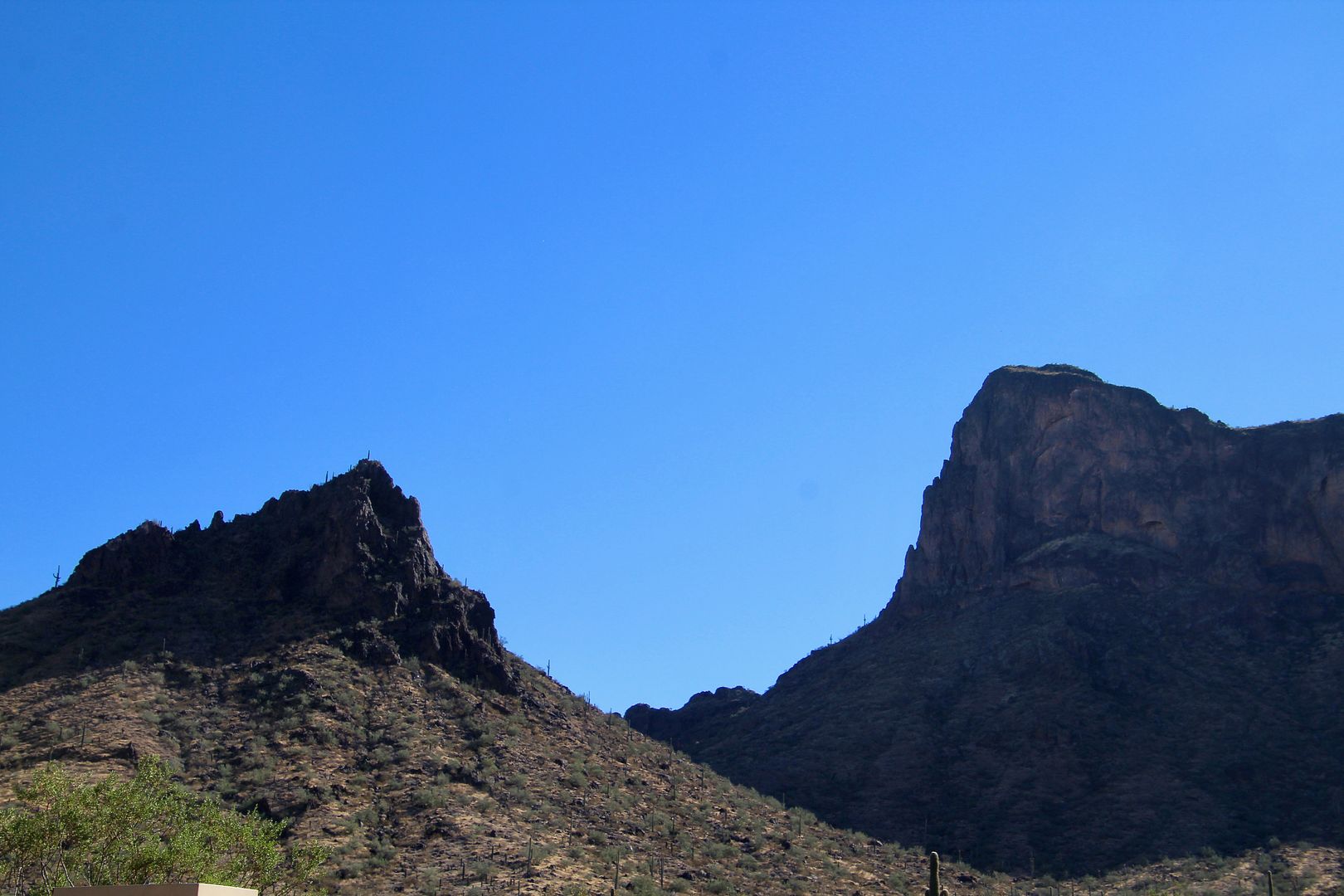
The 1,500’ peak is a unique geological feature and a well-known navigational landmark used by travelers for centuries (on the left in photo below). It can be seen from I-10, so check it out if you are driving through the area.
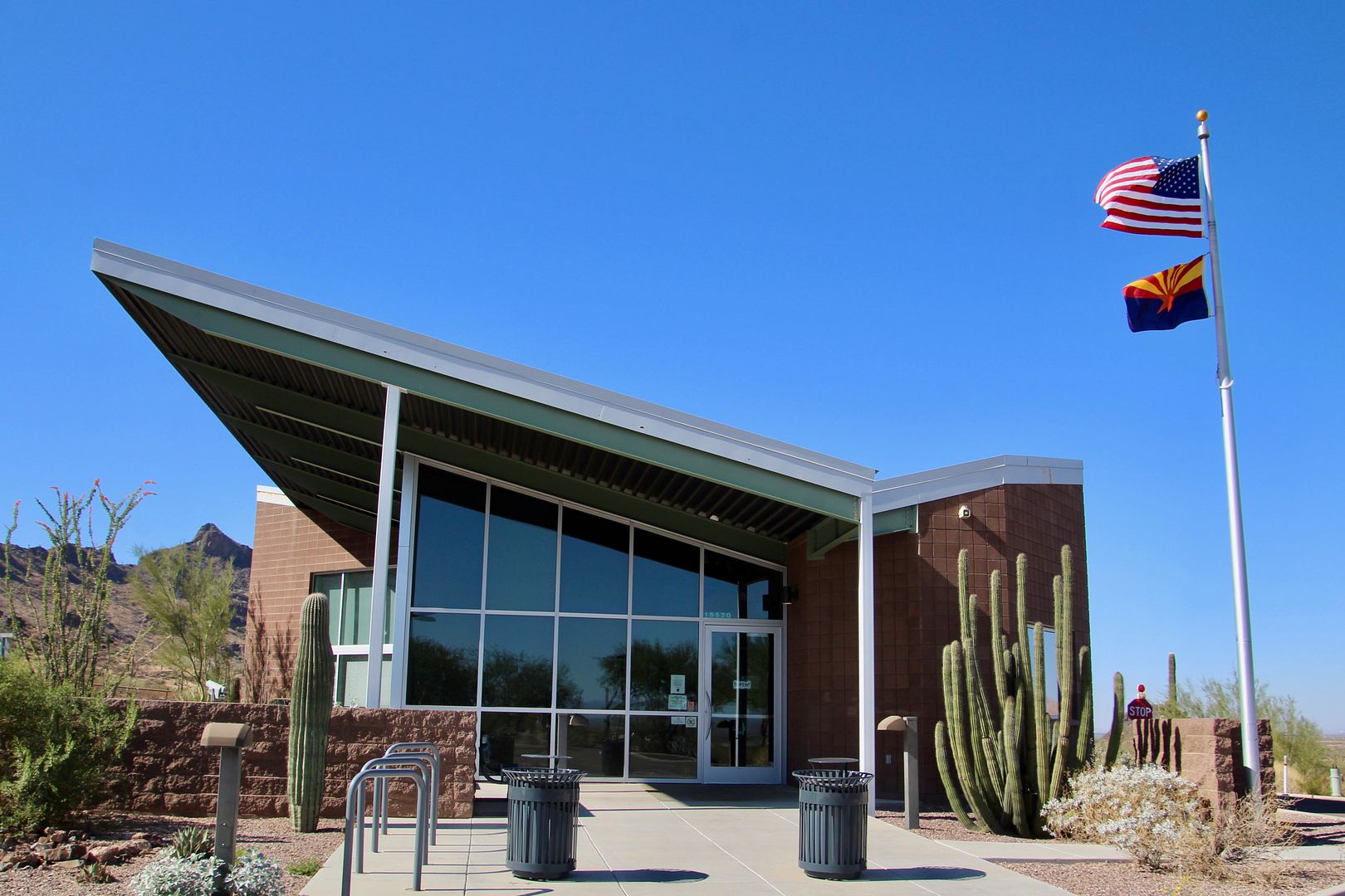
We made a quick stop at the Visitor Center to pick up a park map.
In 1775, Juan Bautista de Anza led Spanish settlers past Picacho en route to California.
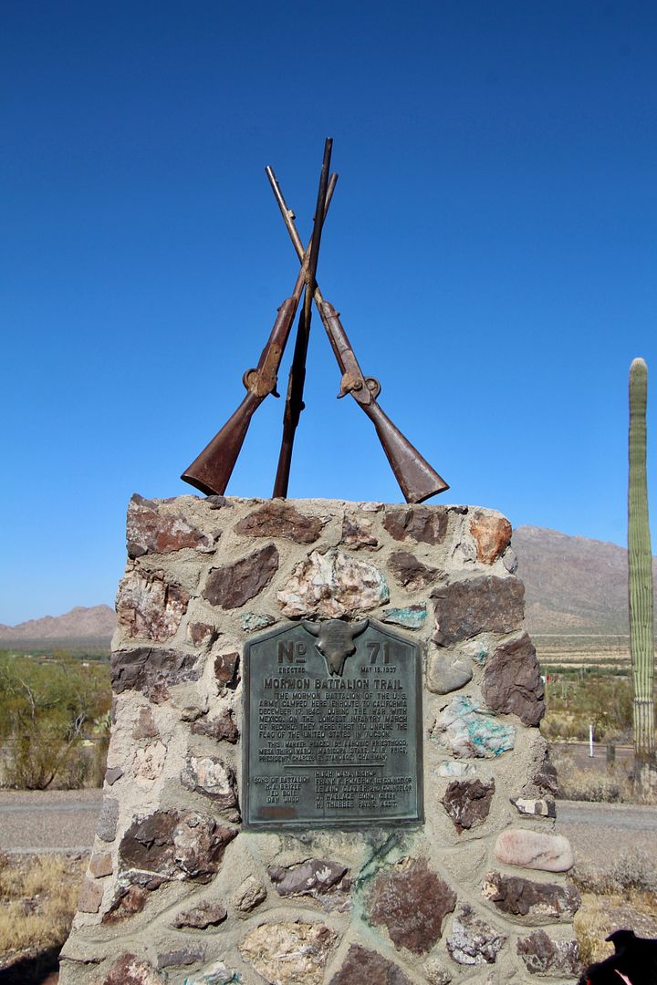
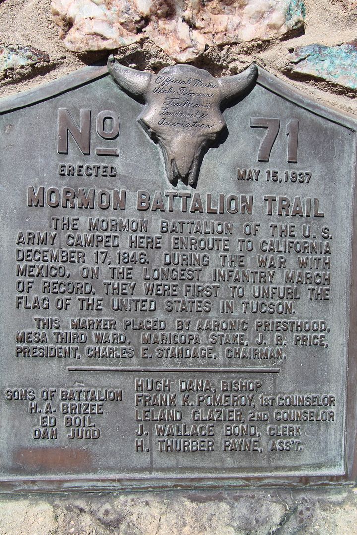
The Mormon Battalion of the US Army camped here on their way to California during the Mexican-American War. It was the longest infantry march on record. Below is a monument dedicated to the battalion.
The Butterfield Overland Mail Trail (stagecoach route from St. Louis to San Francisco) also passed by Picacho Peak. The US Postal Service used the route from 1857-61.
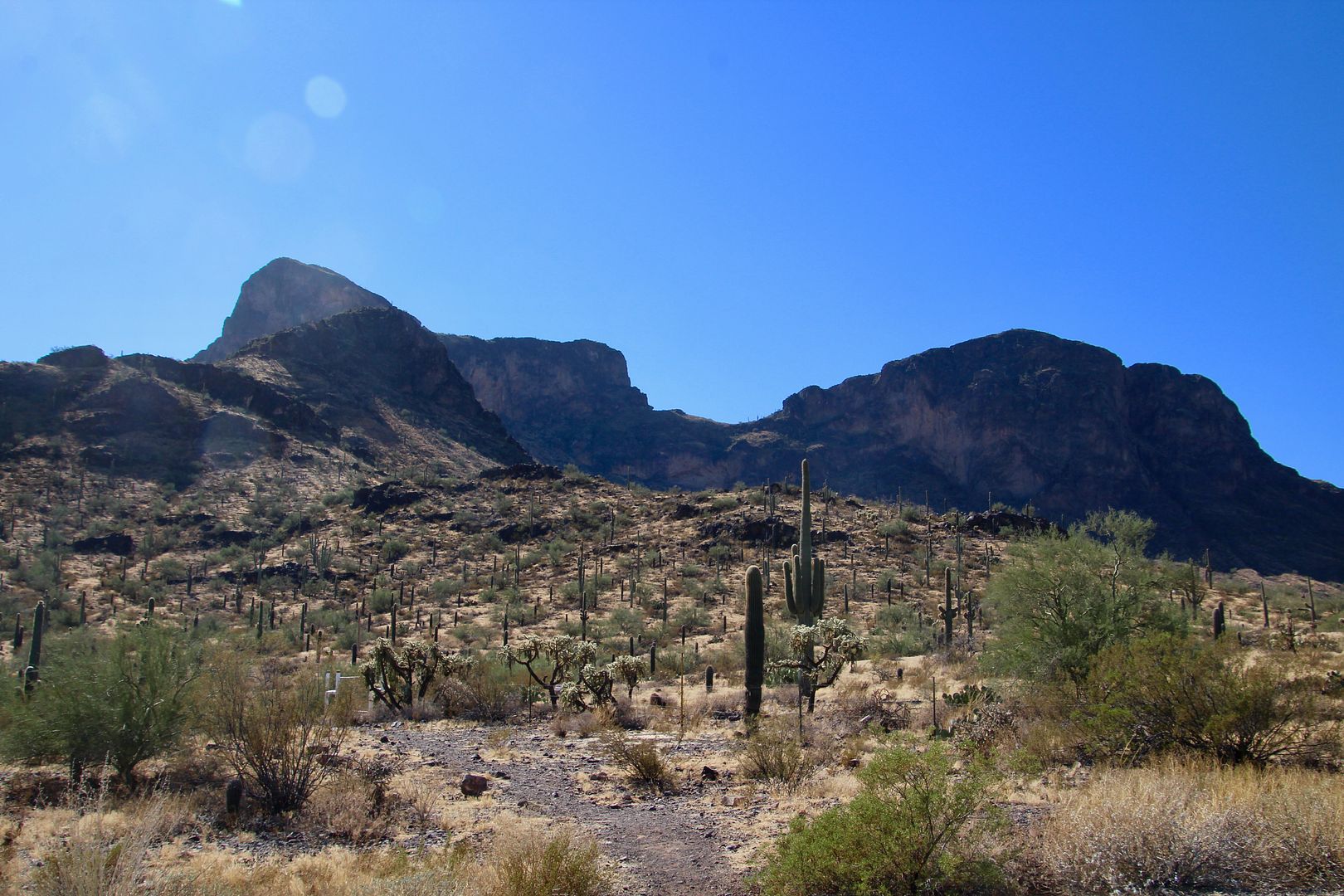
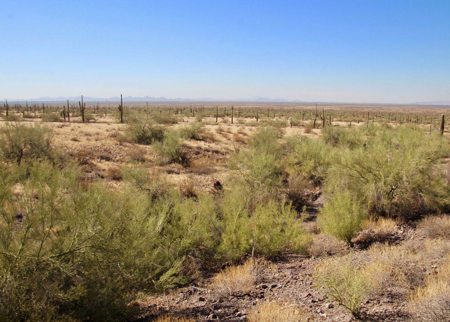
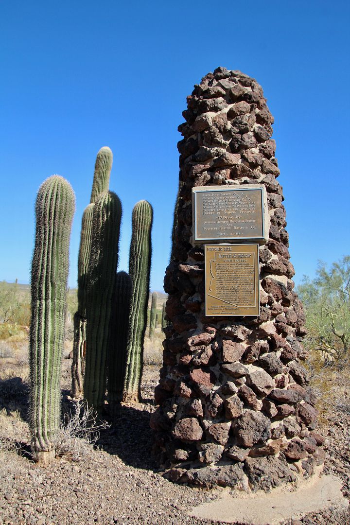
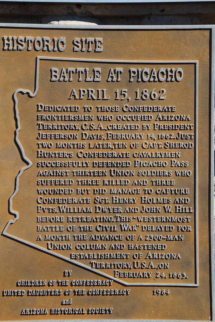
Picacho Pass (see photo below) is the location of the westernmost battle of the Civil War (occurred April 15, 1862). Ten Confederate calvarymen successfully defended the pass against thirteen Union soldiers. Three Union soldiers were killed and three more wounded. Although defeated, the Union soldiers captured a sergeant and 2 privates before retreating. While the Battle of Picacho was a small skirmish, it delayed a 2,300-man Union column for about a month.
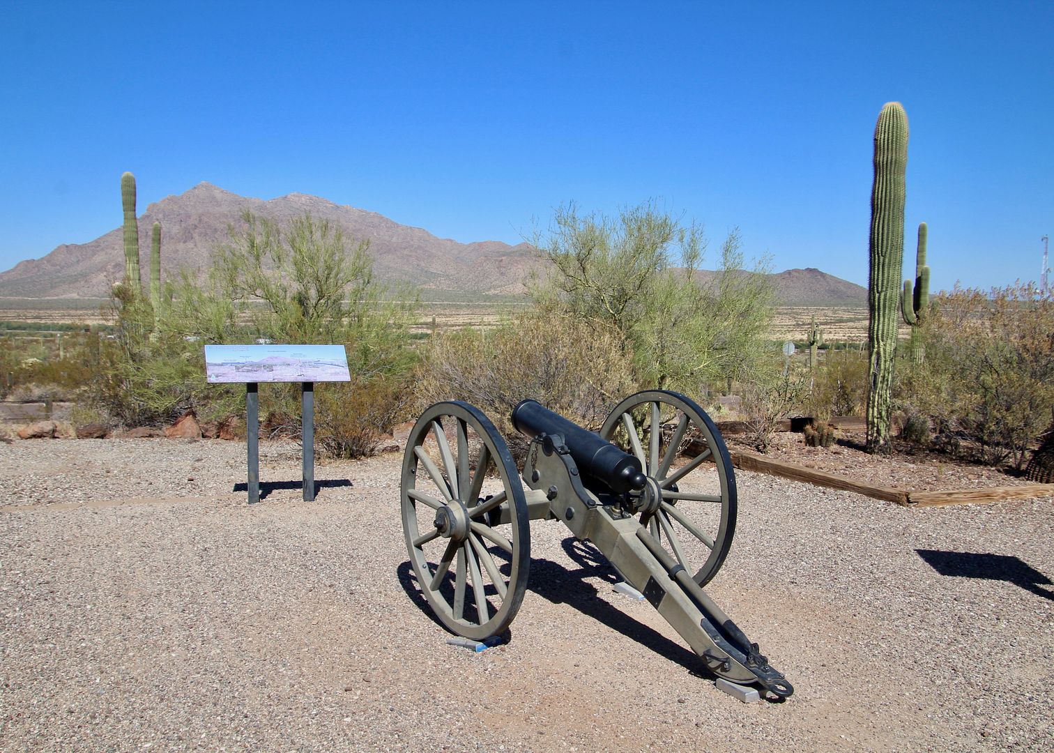
Also on display is a 12-pound portable Mountain Howitzer cannon with a range of about 3,000’. The Battle of Apache Pass (500 Chiricahua Apaches against Union troops) resulted in the death of 66 Apache when the howitzers were used for the first time against Native Americans. Two Union soldier were killed and three injured in the battle. The next day nine white civilians were murdered and scalped. This prompted the army to establish nearby Fort Bowie (now a national historic site), The mountain howitzers were used extensively until the 1880s in the west.
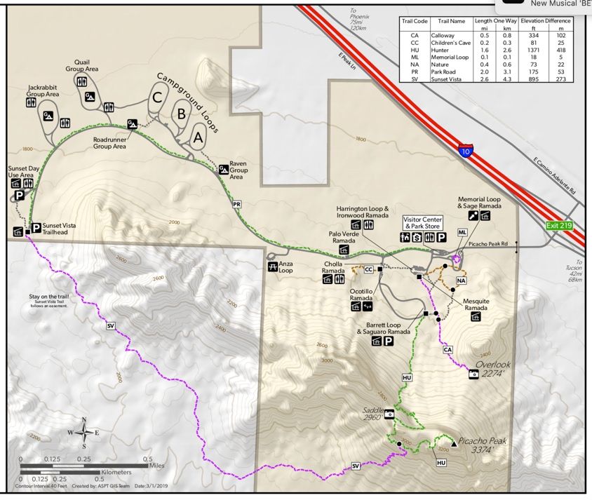
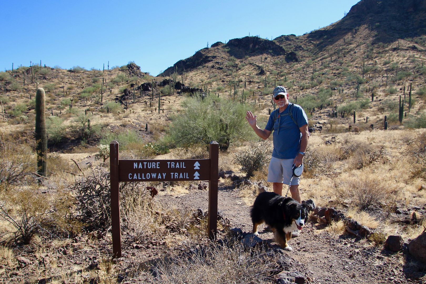
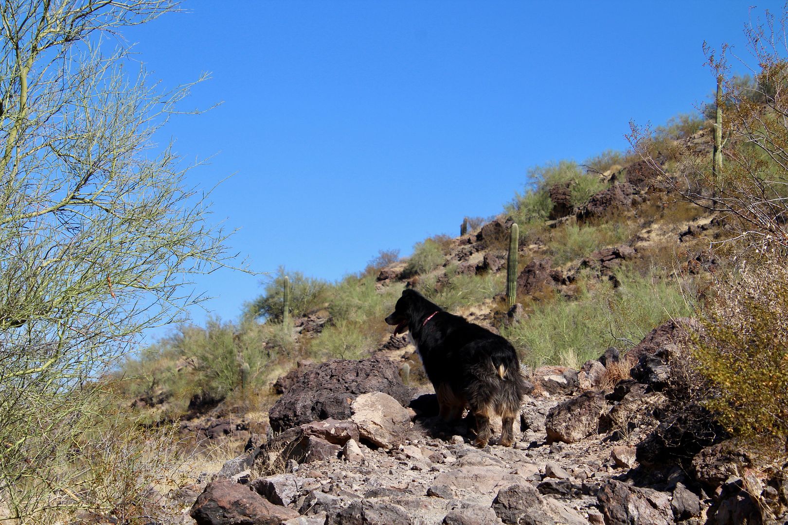
After checking out the memorials, we did some hiking (which was the primary reason for our visit). The Hunter Trail is a 1.6-mile trail that ascends to the top of the peak. Gloves are needed for the steel cables anchored into the rock along bare rock along the trail. Dogs cannot make the trek (and we had our girl, Sadie, with us), so we opted for the easier Nature and Calloway Trails (about 2 miles round trip). I would love to do the Hunter Trail one day!
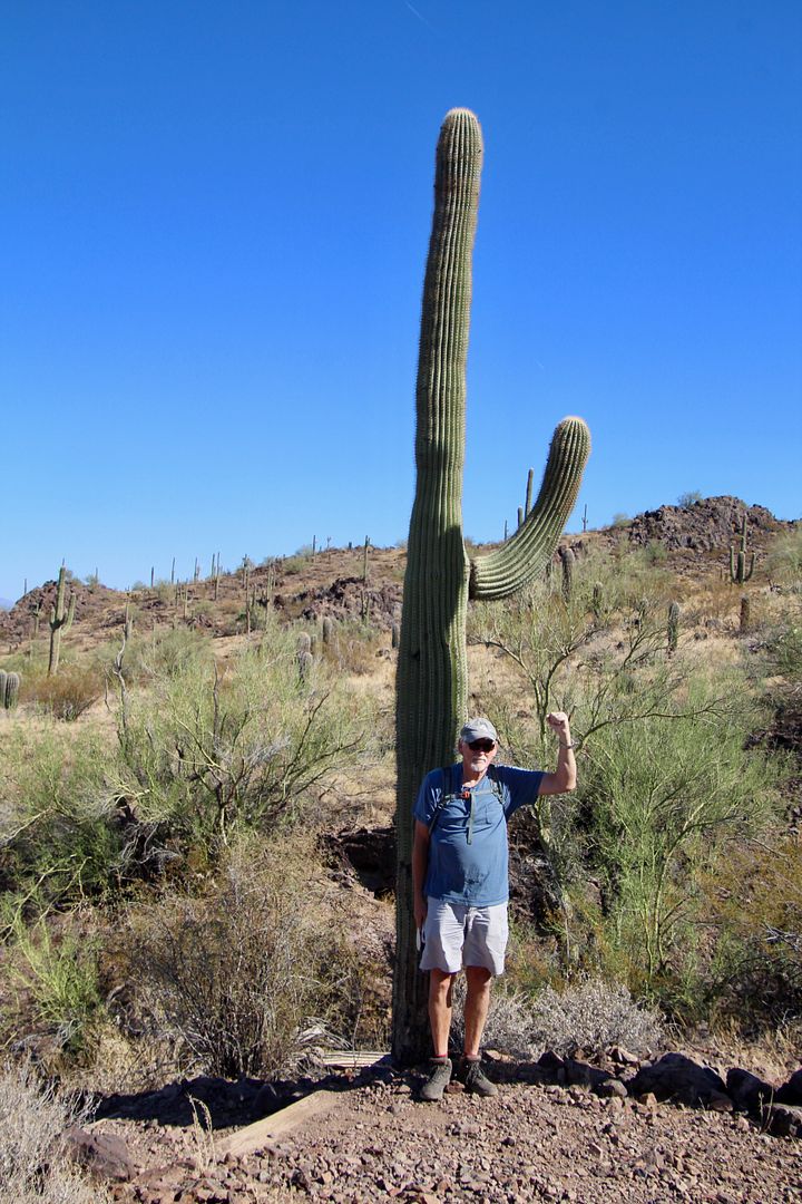
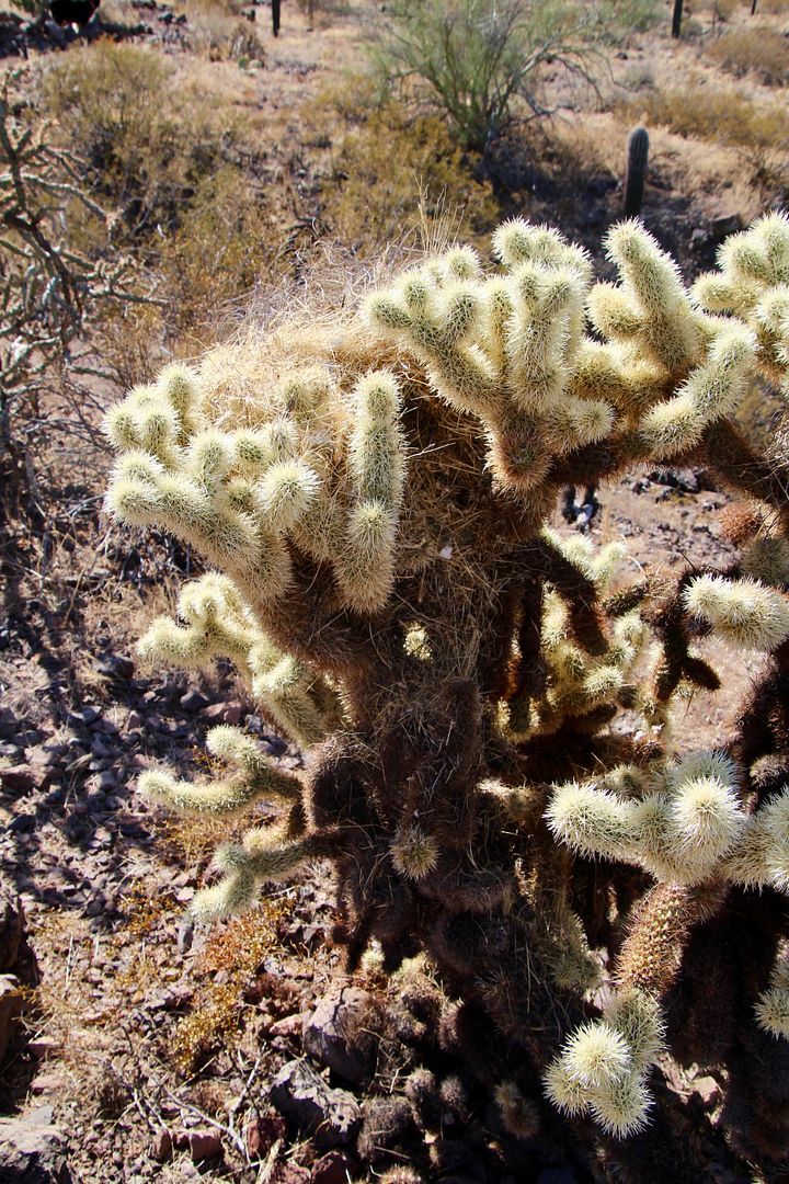
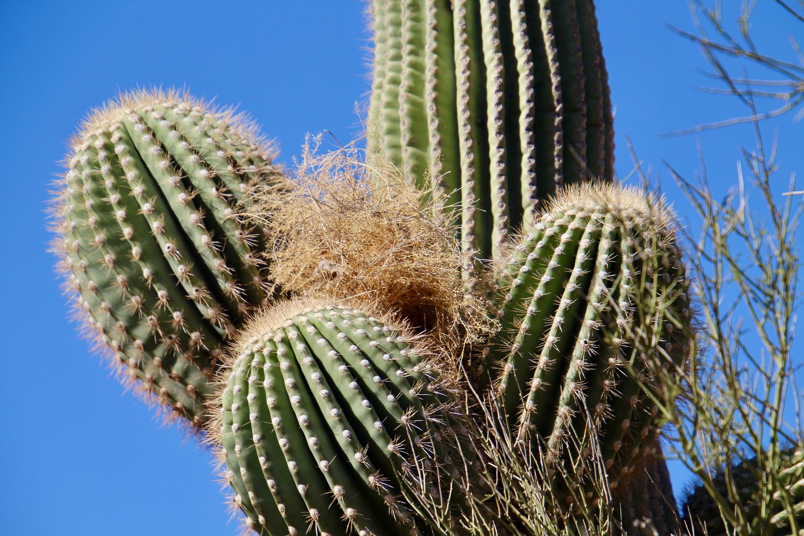
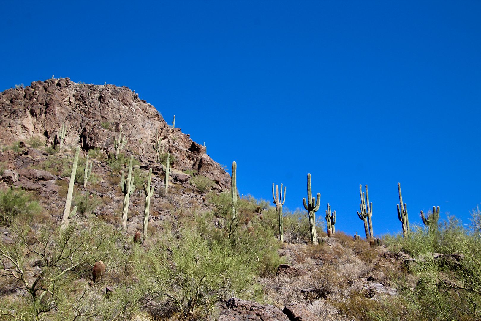
Located in the Sonora Desert, the Calloway Trail ascends to an overlook (2,274’). Saguaro, chollas, prickly pear and other plants common to the desert can be seen along the trail. Cactus Wrens build their nests in them despite the spiky thorns.
Hiking is Sadie’s most favorite thing to do. She is always good at following the trail but usually gets ahead of us.
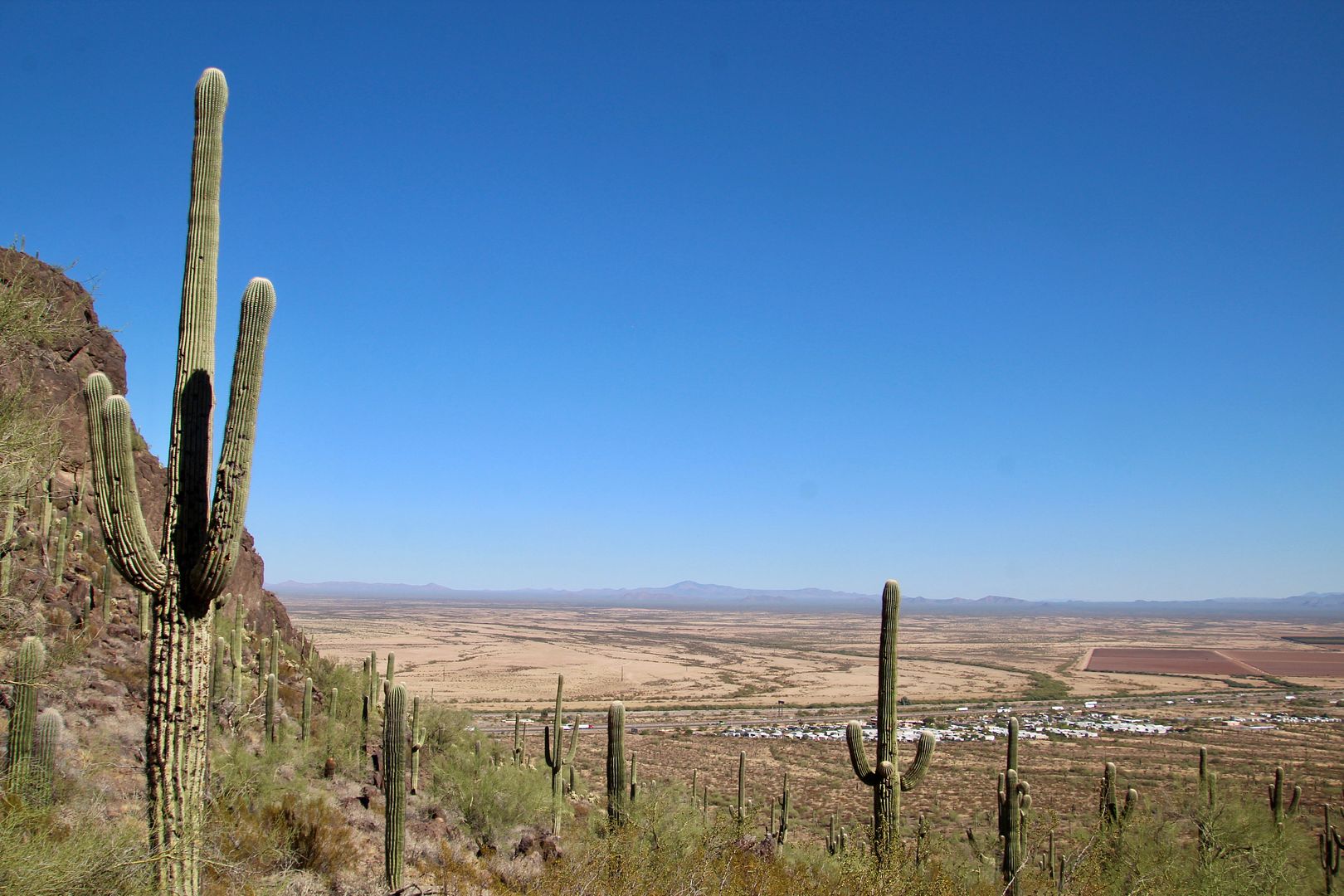
The trail continued to ascend to the ridge and then down a short distance to the overlook.
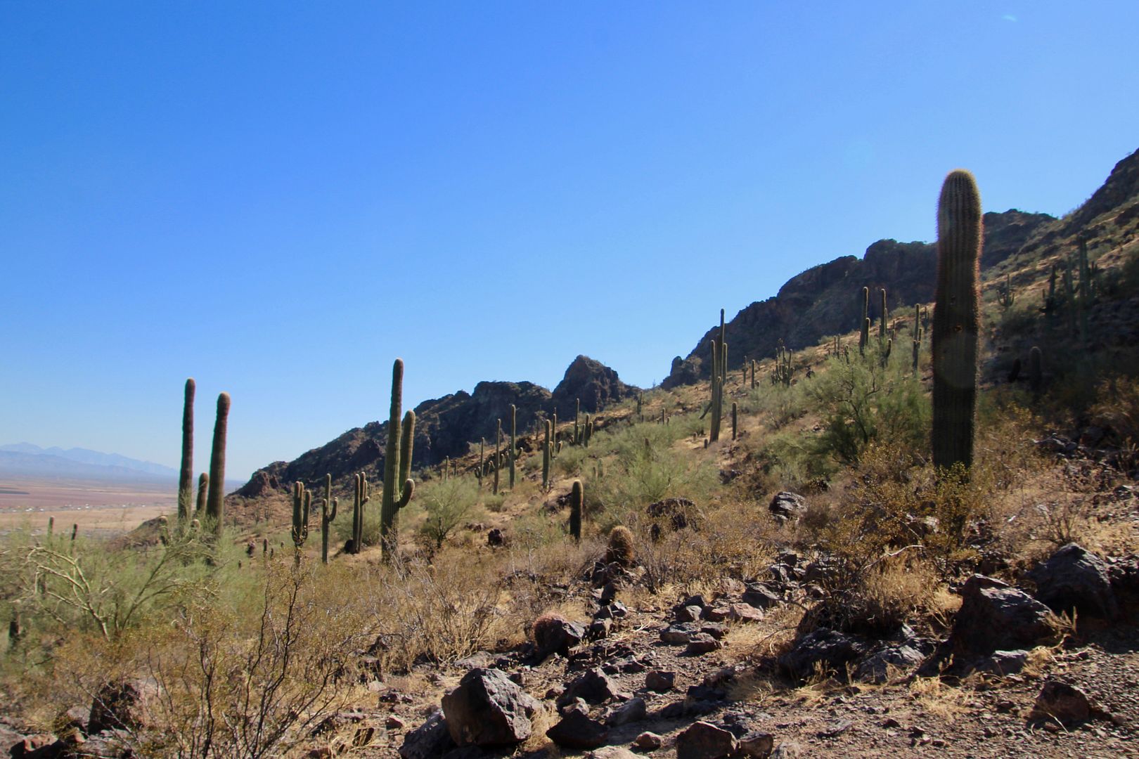
Interstate 10 can be seen in the distance from the overlook. What an expansive view of the surrounding area!
We retraced our route and returned to Sage Ramada where we had a picnic lunch. We checked out the campground (nice!) before leaving the park. Here’s one last view of Picacho Peak (on the right).
It was a beautiful day to enjoy the outdoors! The entrance fee is $7/vehicle. For additional information about Picacho Peak State Park, go to www.azstateparks.com/picacho/
No comments:
Post a Comment