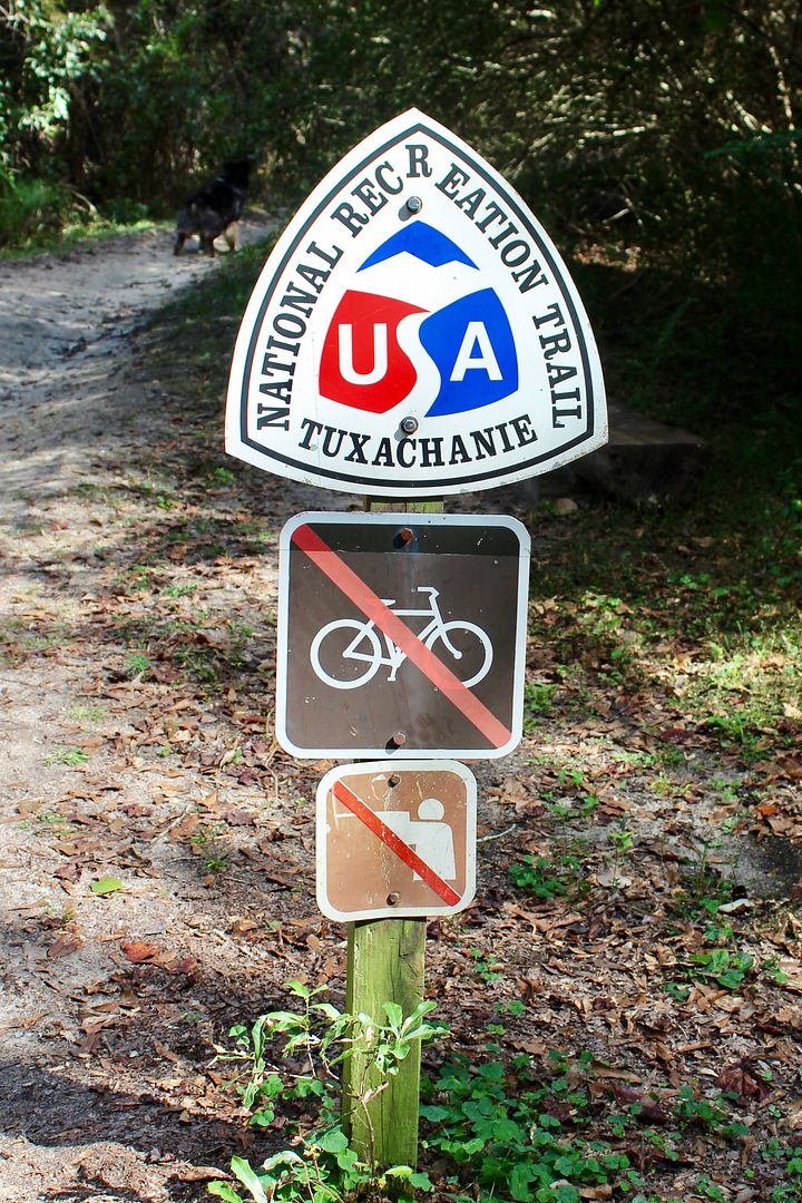
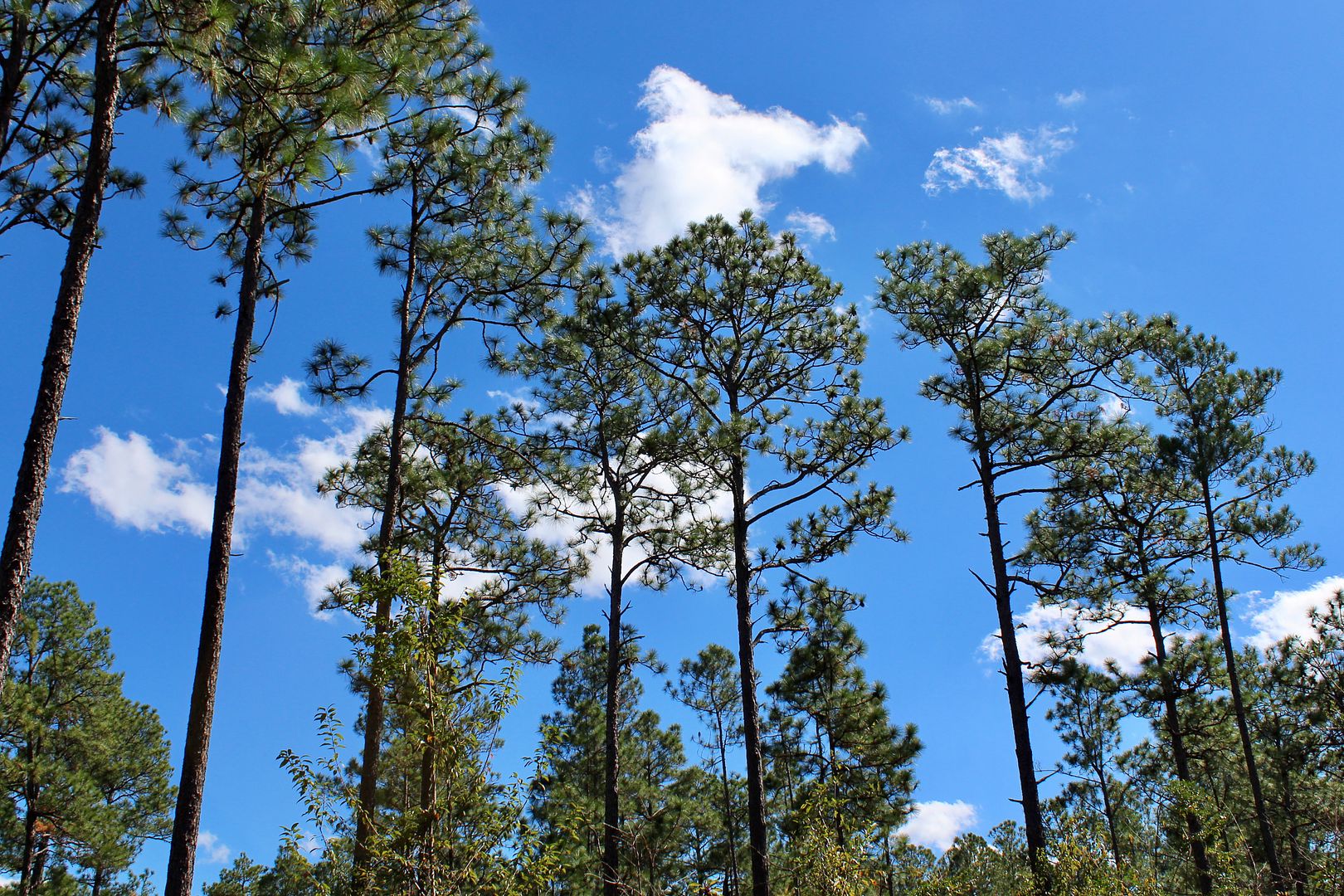
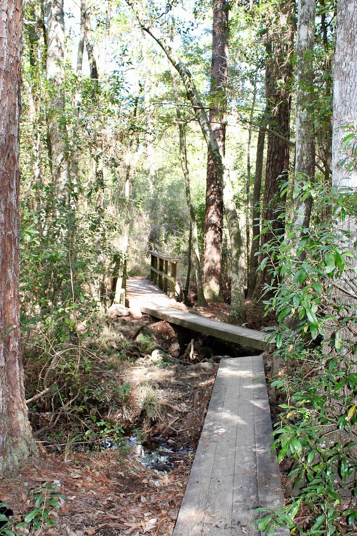
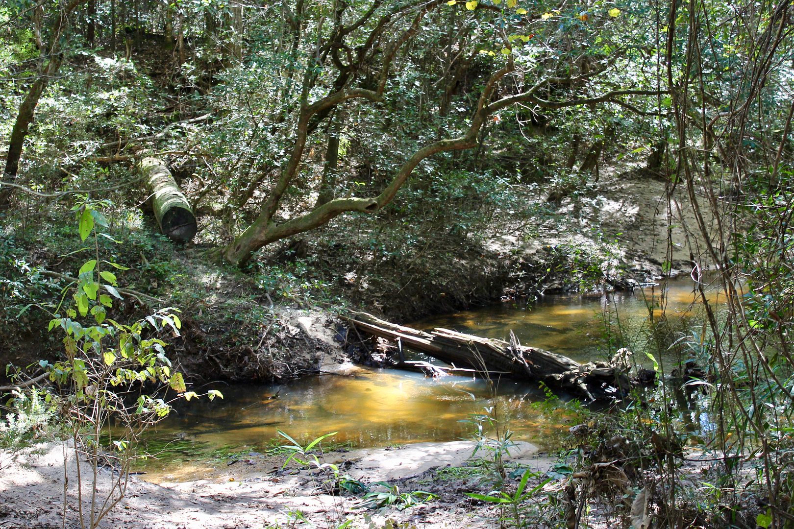
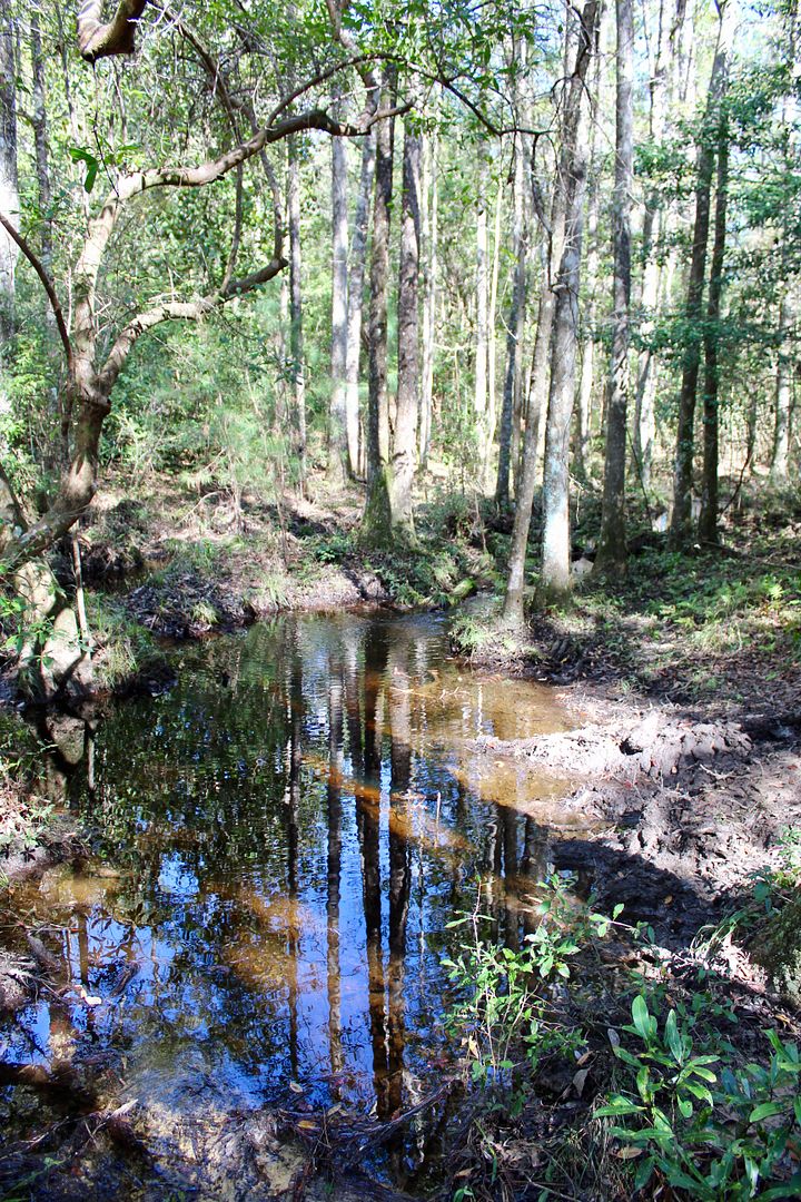
The primary trail entrance is on Highway 49 (near Saucier, MS). The trail continues for about 12 miles through the Tuxachanie Creek floodplain to the P.O.W. Camp. We hiked 2.5 miles out and back for a total 5-mile hike.
Interpretive signs along this part of the trail tell of the archeological digs here in 1996-97. Artifacts from African-American residence and turpentine kiln areas were recovered providing insight into life here between 1885-1920.
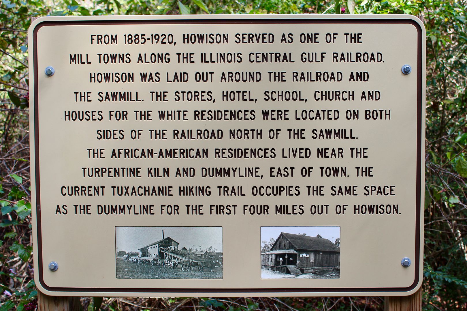
Families lived in one to two-bedroom wooden houses while working as lumberjacks and in the turpentining industry (collecting sap from the pine trees and cooking it down in kilns). The mixture was loaded into wood barrels for market.
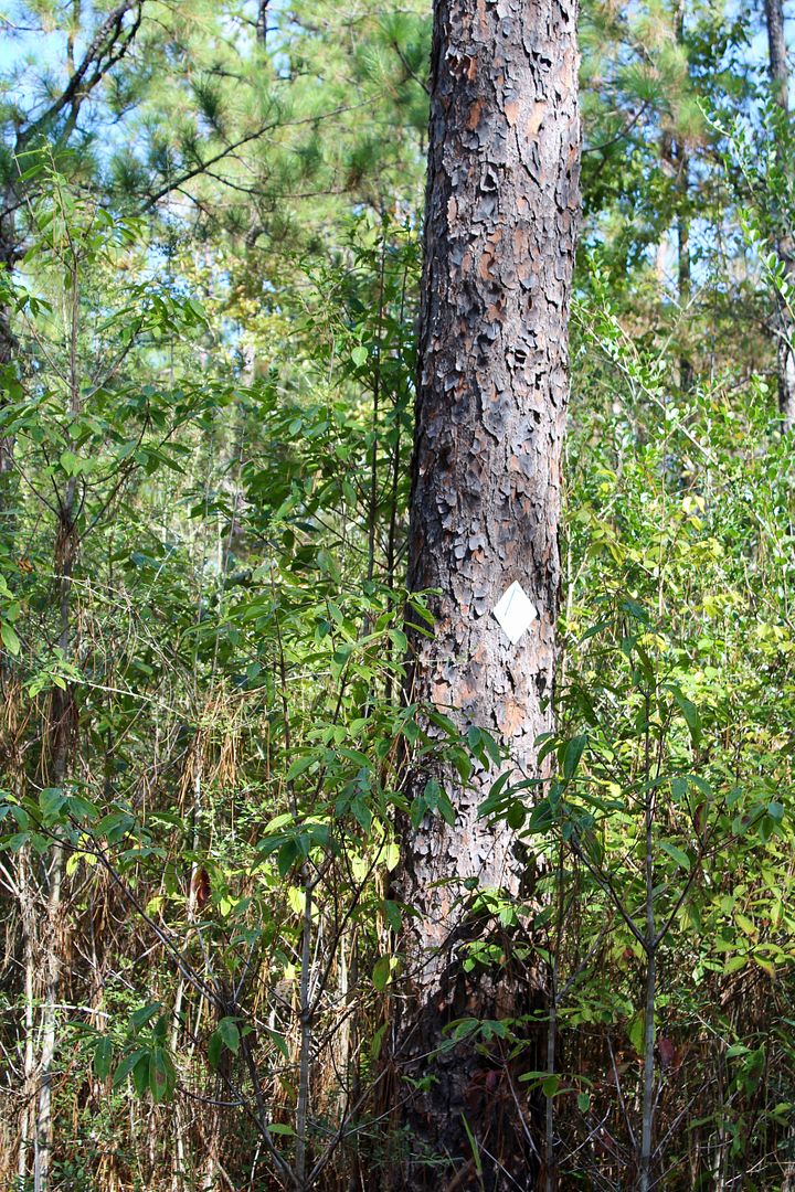
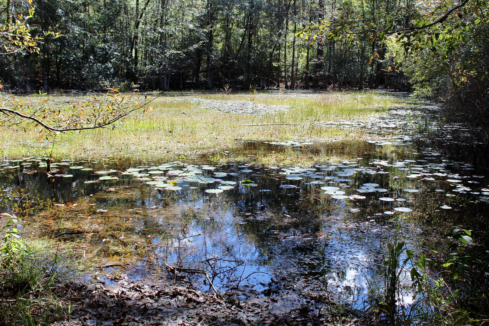
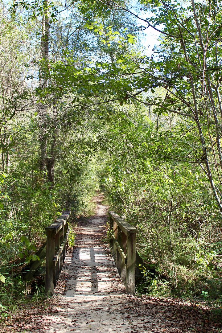
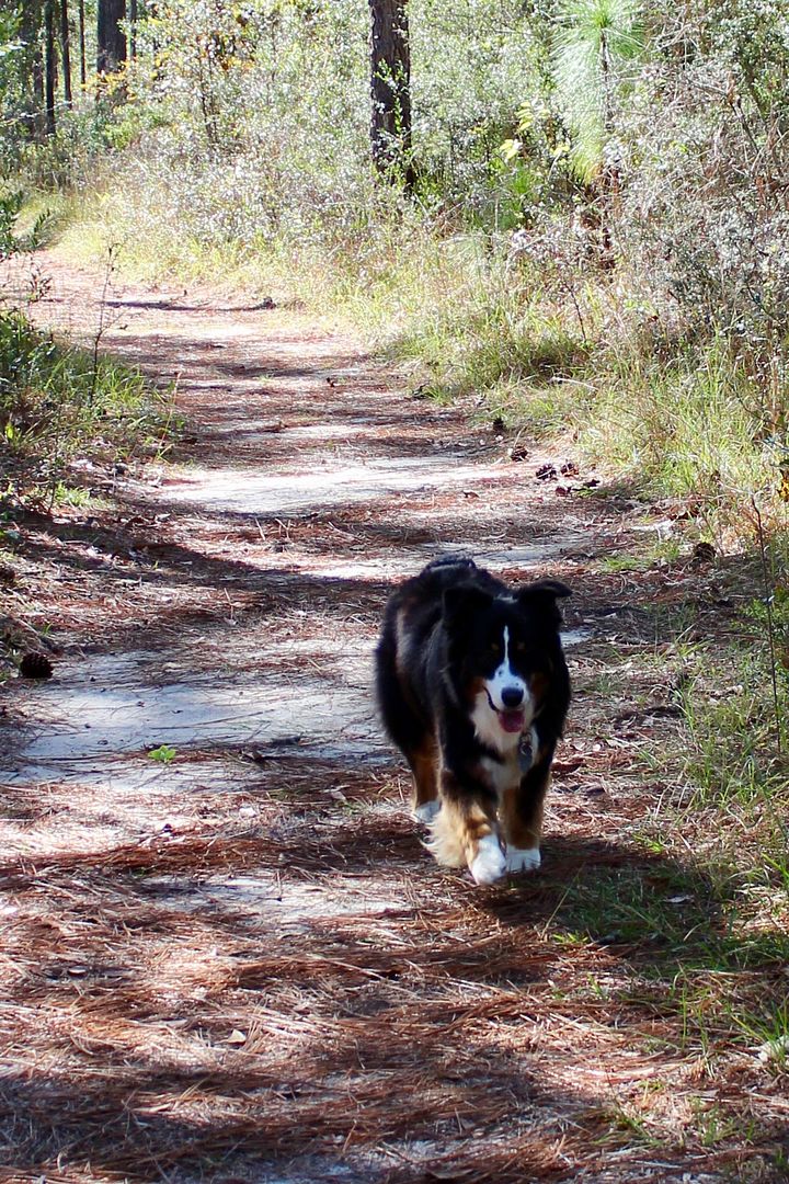
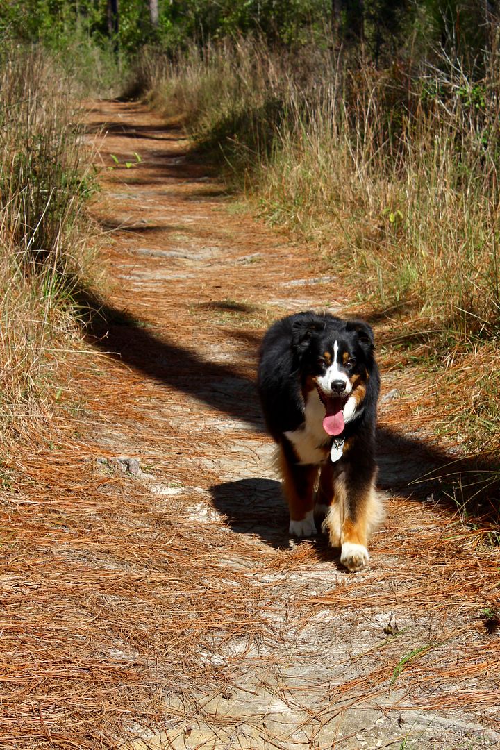
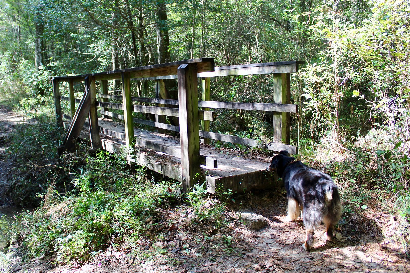
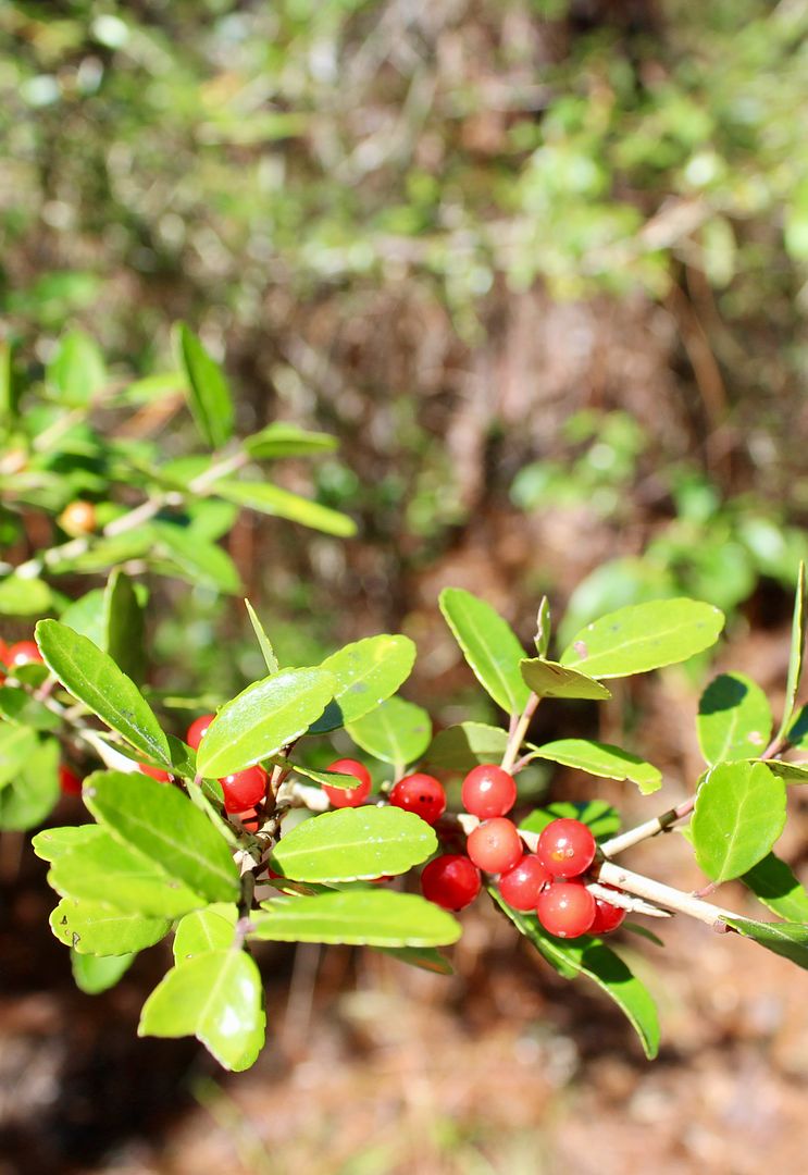
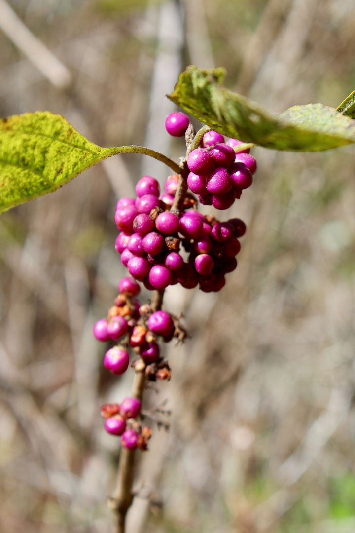
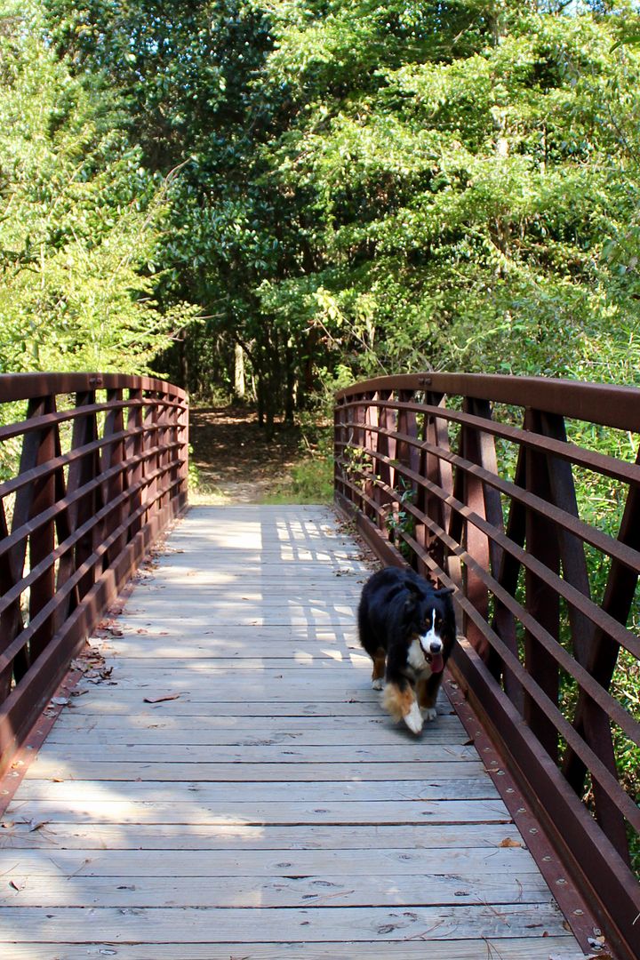
It was a lovely afternoon to be outside enjoying the wonders of nature. These are the times that our sweet doggie, Sadie, is the happiest! Here are some photos of our hike.
Primitive camping is permitted 100' from the trail. We prefer to enjoy the comforts of our RV and full hook-ups to the primitive camping about 40 years ago!
When we returned to the car, we decided to visit the De Soto National Forest Ranger Station to pick up information about hiking and recreation opportunities in the forest.
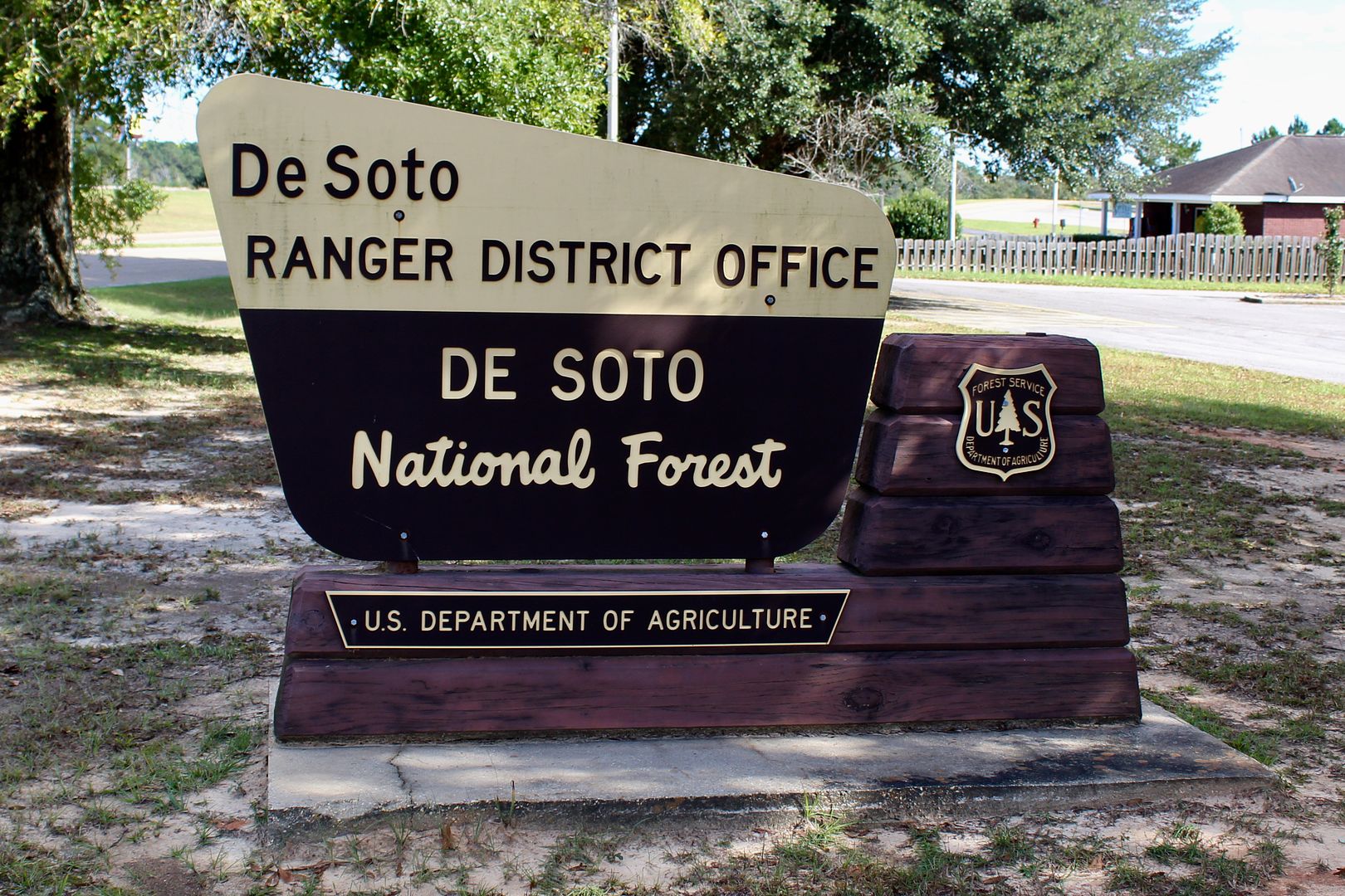
The folks there were very helpful and provided several maps and brochures. Now we have a better understanding of the other areas we will hike here before we leave Biloxi. It's definitely worth your time to visit the ranger station (Frontage Road, Wiggins, MS 39577).
From the ranger station we drove to the opposite end of the Tuxachanie Trail, the P.O.W. Camp.
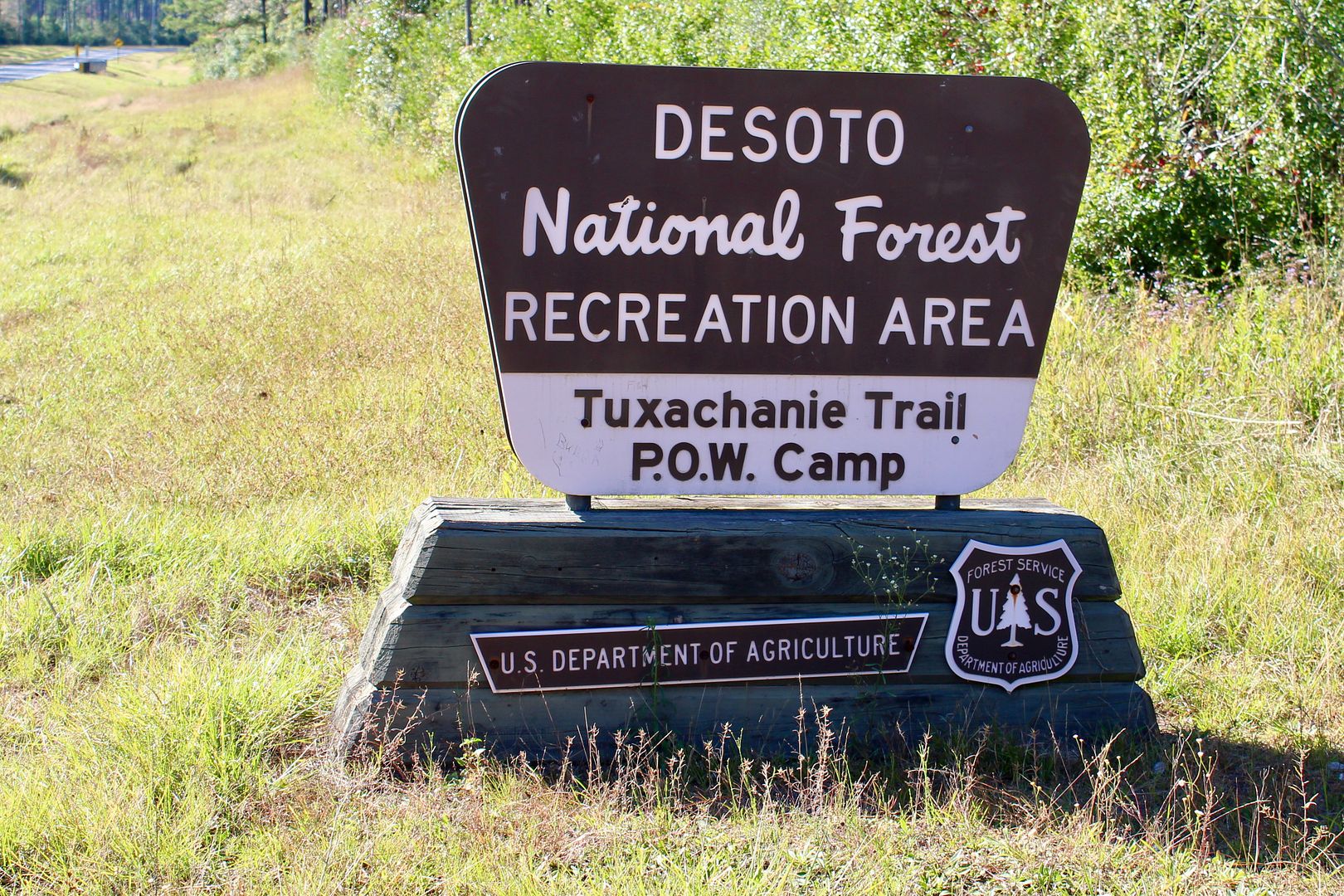
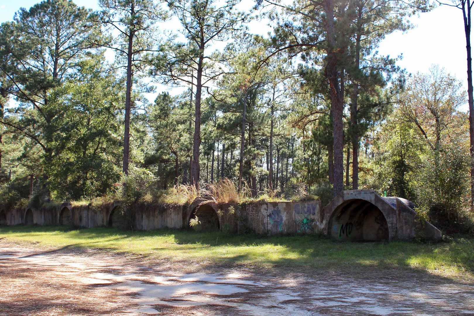
A gravel road leads back to the abandoned site of a World War II prisoner-of-war camp (German and Italian prisoners). We did not see any evidence of the buildings that were here then. The ruins of ammunition bunkers used at a US Navy rifle range during that era are visible (unfortunately, covered with graffiti).
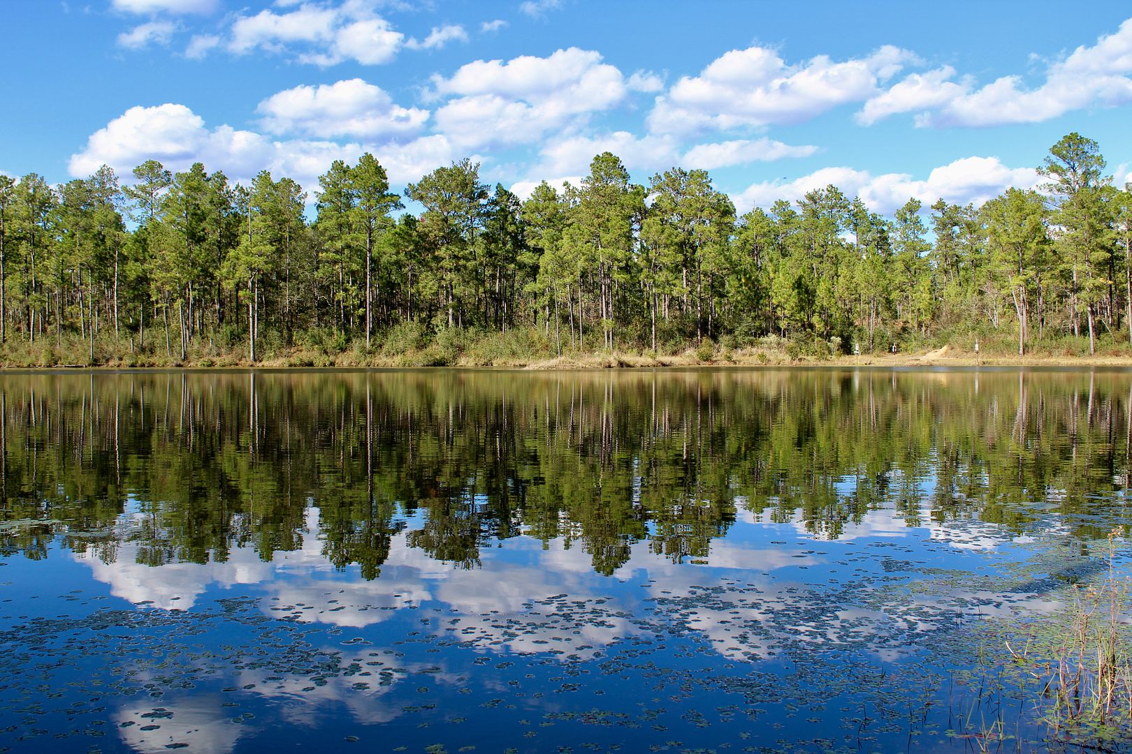
Nearby is a beautiful lake where fishing is popular. A primitive camping area is near the lake, but we saw just one campsite in use when we were there.
We will definitely be back to do some more hiking at the De Soto National Forest in the next couple of weeks!
For additional information about the recreation areas in the forest, go to www.fs.usda.gov/detail/mississippi/about-forest/districts/?cid=stelprdb5209588.
No comments:
Post a Comment