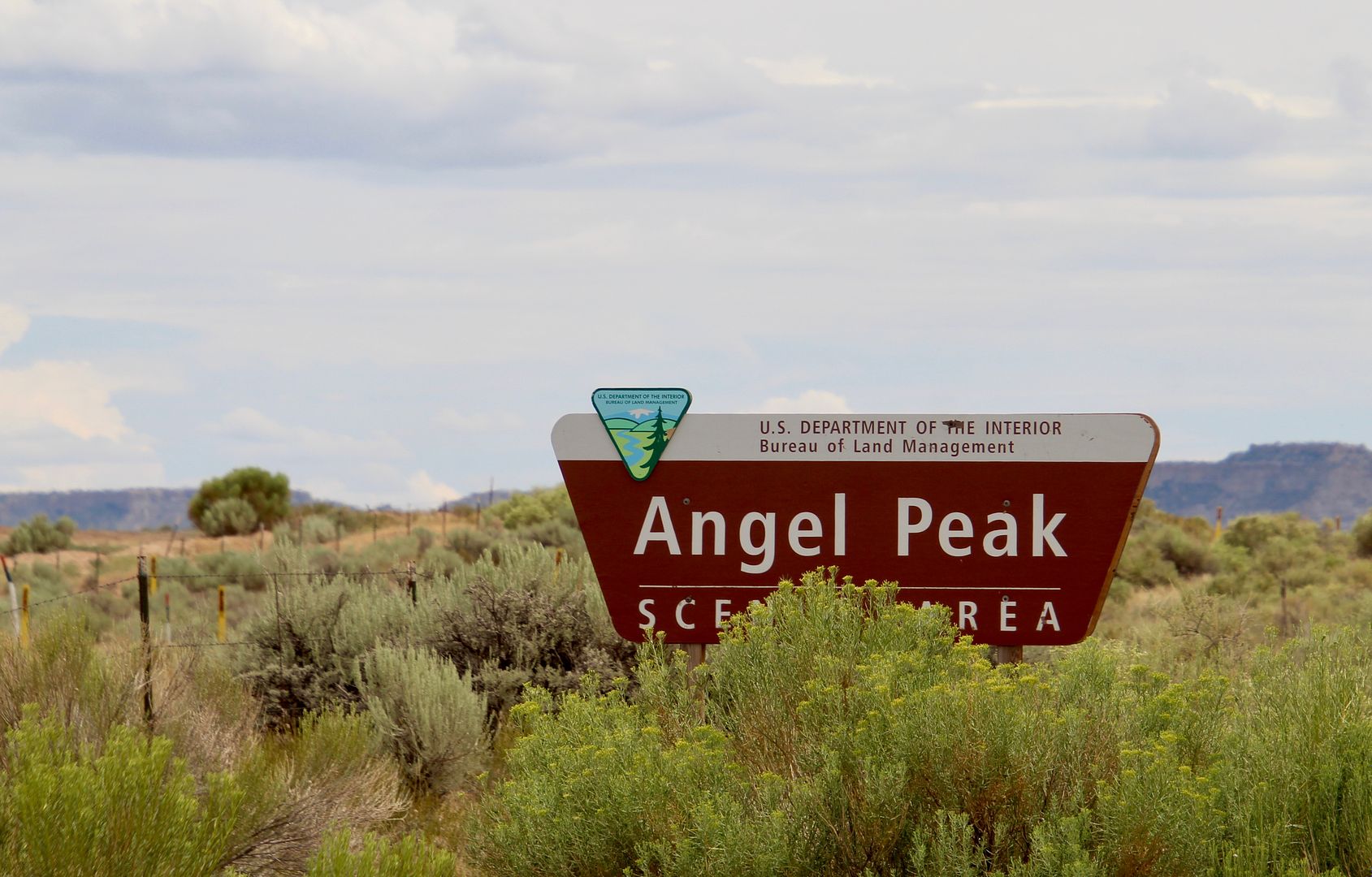
Driving north on US 550 returning from the De-Na-Zin Wilderness back to Bloomfield, NM, we decided to check out the Angel Peak Scenic Area by taking a right turn onto County Road 7175 (gravel).
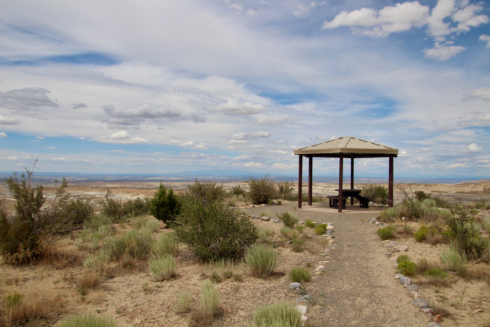
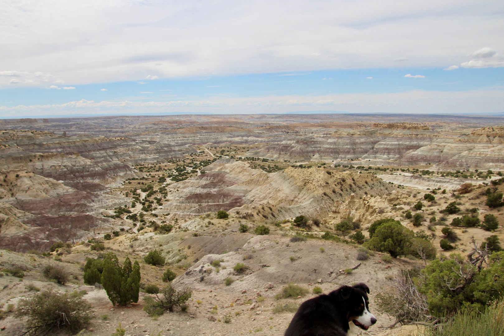
At 6,988’, Angel Peak is visible for miles in every direction. There are three picnic areas (with shelters, picnic tables and fire grates) and a (primitive) tent campground along the rim of the colorful badlands and deep canyons. Here is our first peek into in this 10,000-acre wilderness area from the Sage Picnic area.
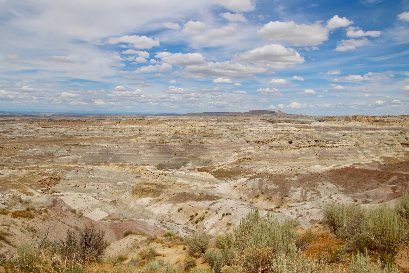
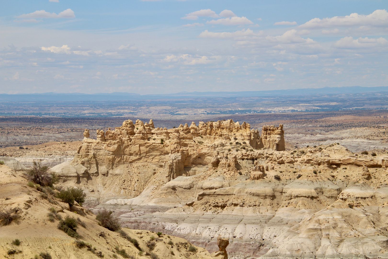
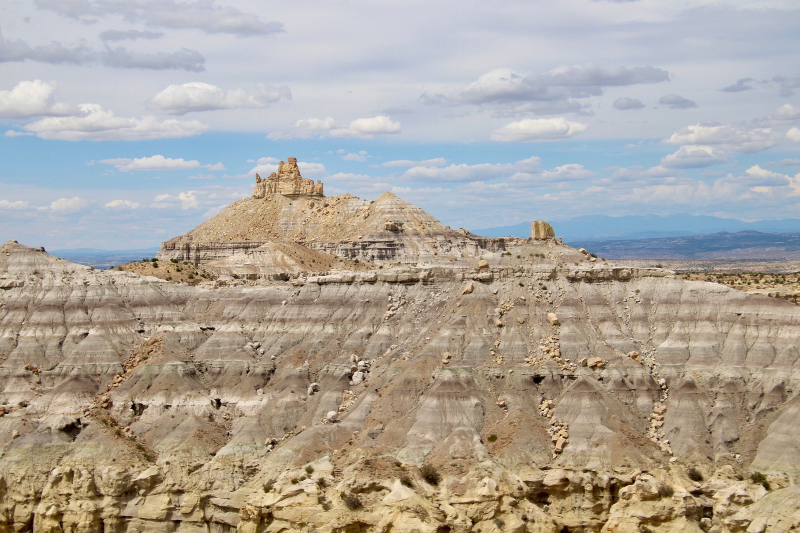
Angel Peak can be seen in the upper left portion of the photo. Mammal fossils and petrified wood have been found by paleontologists in the canyon.
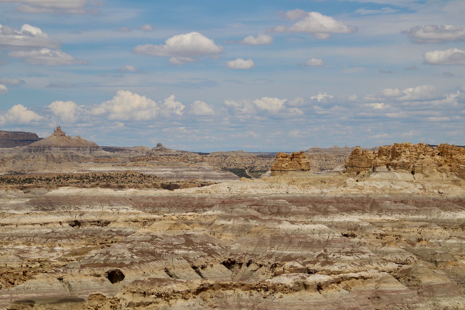
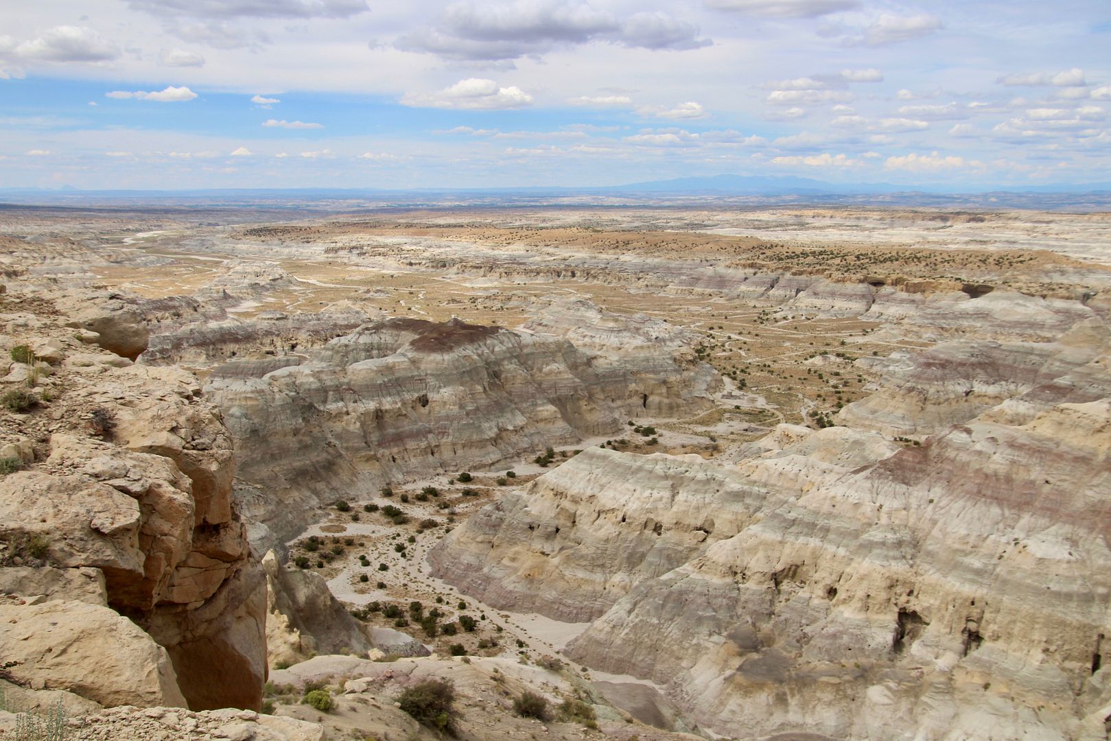
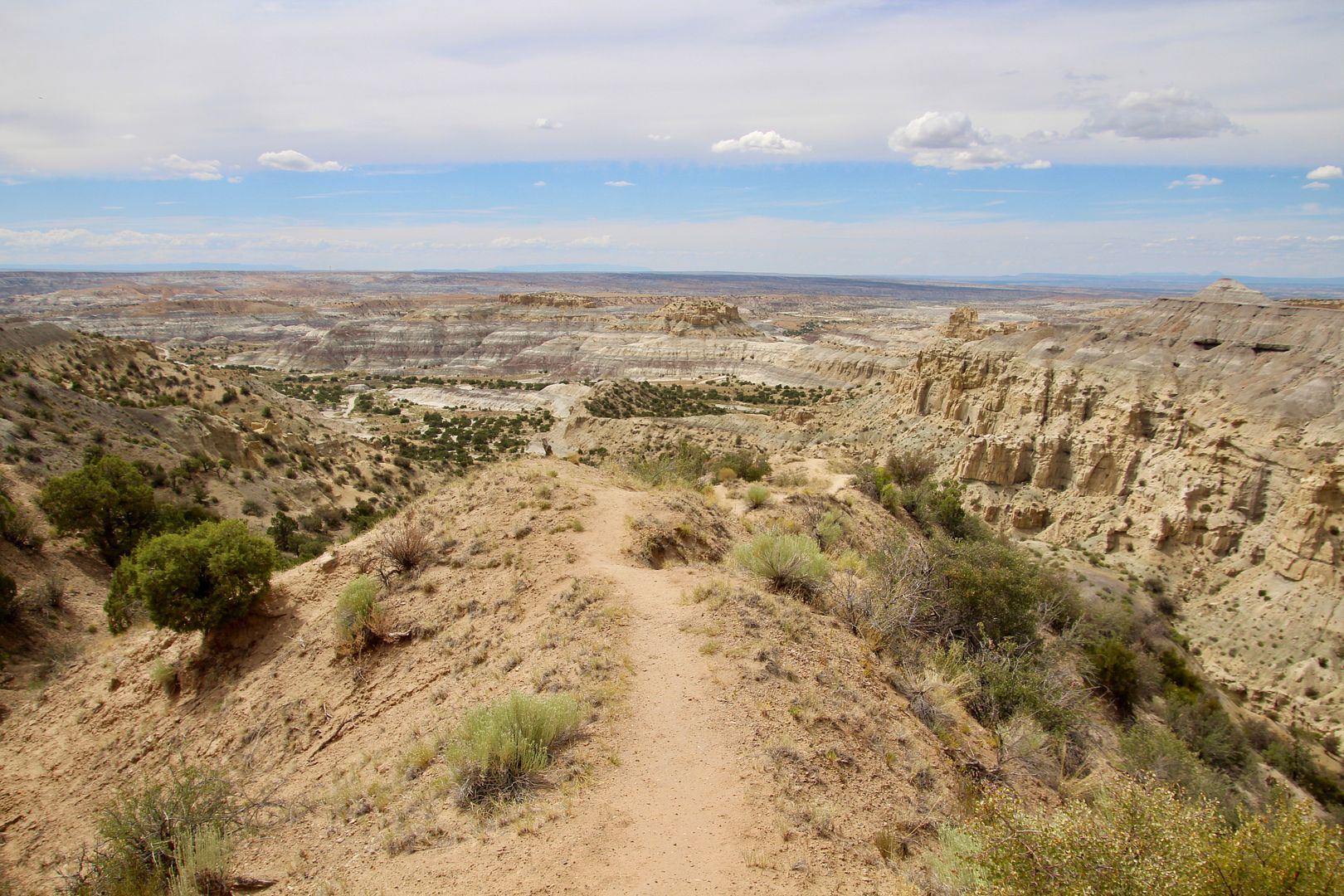
The dirt road (decent condition for passenger vehicles) continues along the rim to the second picnic area, Castle Rock. From here you can see the massive namesake rock formation.
Views from this vantage point of the stark, barren landscape are pretty incredible. There is not a trail to descend to the canyon floor, but each picnic area has some trails that take you to the edge of the rim. Angel Peak can be seen on the upper right of this photo.
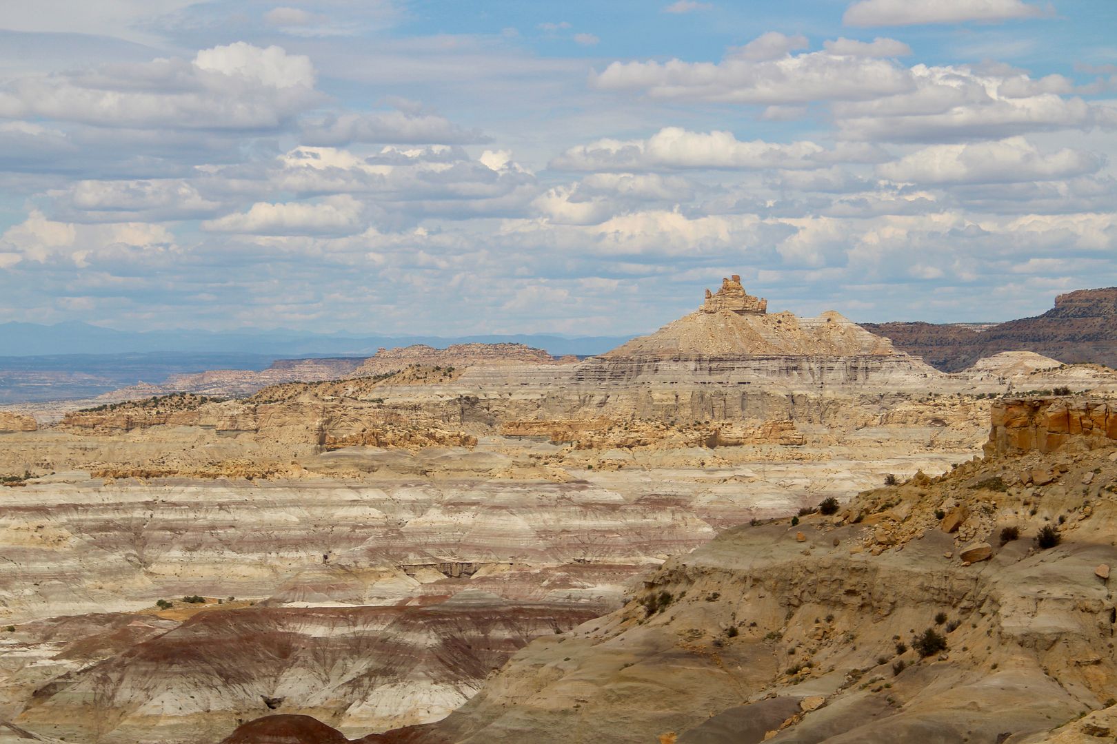
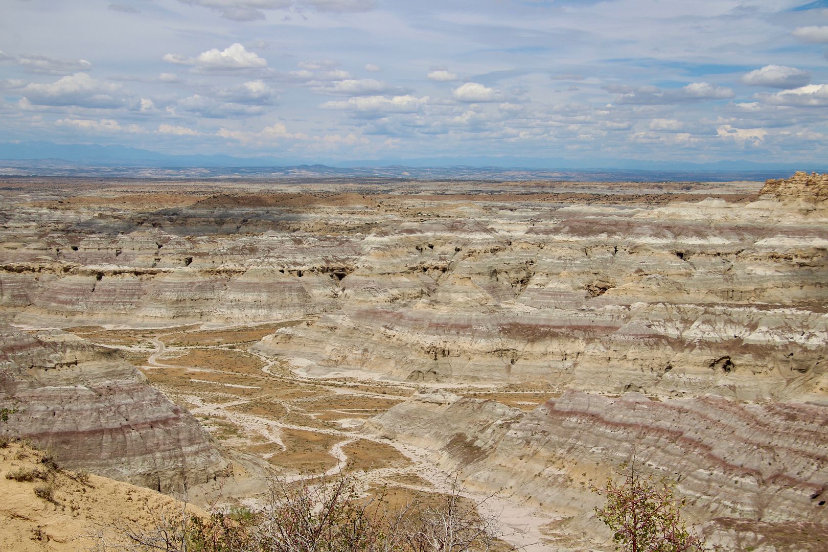
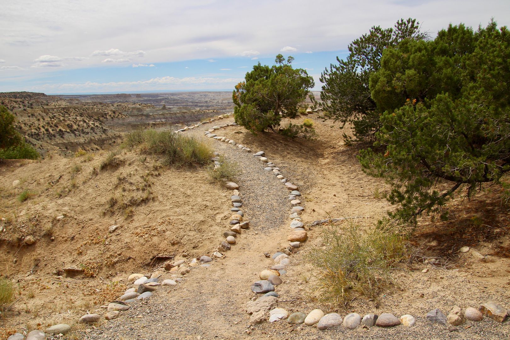
At the highest altitude of the road is the third picnic area, Cliffs. This is also the location of the primitive campsites and the one closest to Angel Peak.
Our girl, Sadie, thought the views were pretty amazing too!
This trail leads to an overlook high above the canyon. There is also a short trail here that leads to the rim.
For additional information about Angel Peak, go to www.blm.gov/visit/angel-peak-scenic-area. There are no day-use or camping fees. It is definitely worth the trip to see the landscape here!
No comments:
Post a Comment