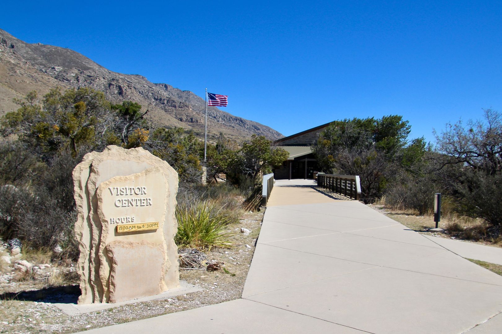
The Visitor Center has exhibits about the geologic and cultural history of the area as well as wildlife that can be seen here.
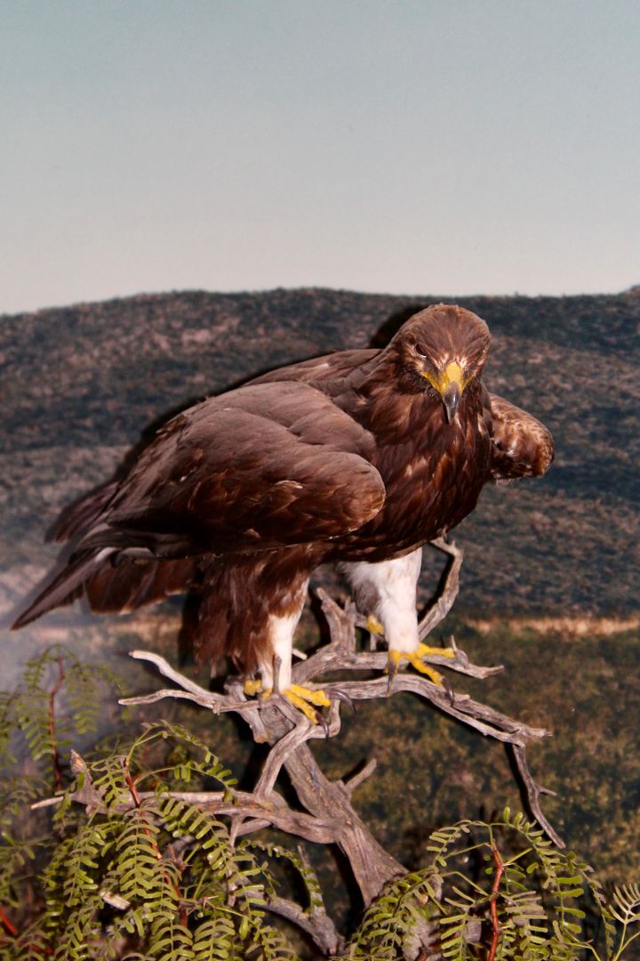
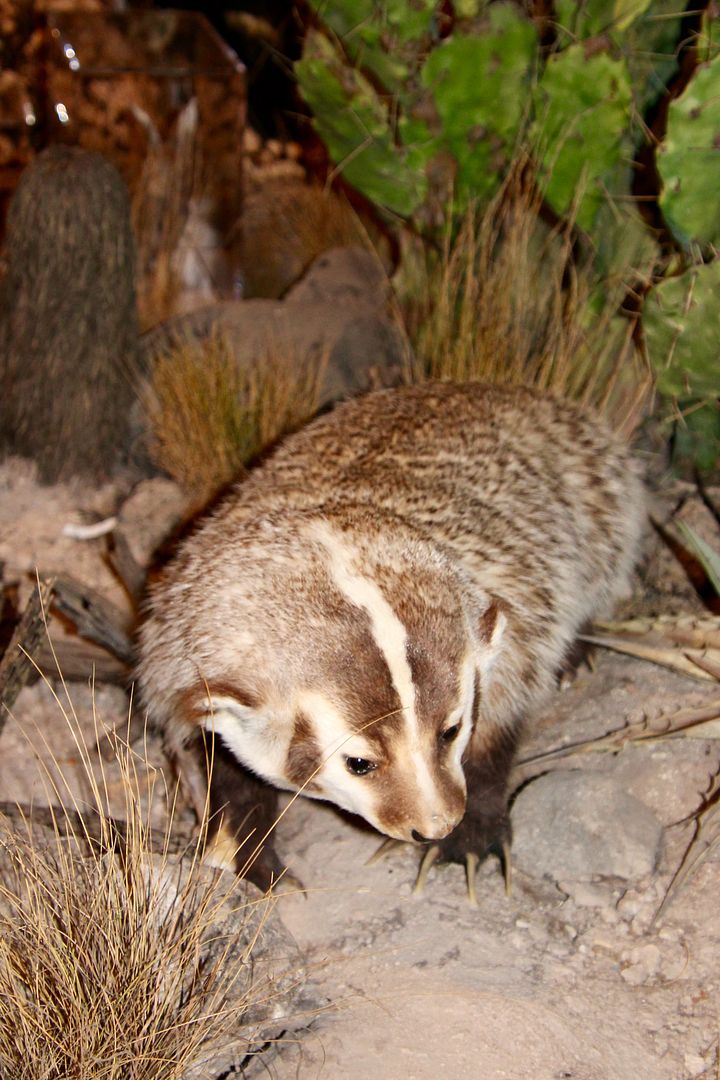
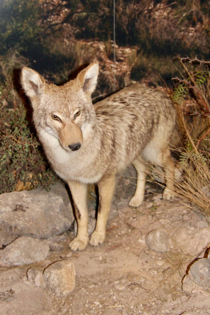
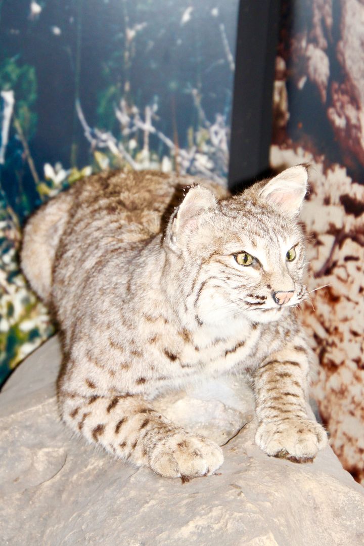
Below is a golden eagle, badger (fierce when confronted), coyote, and bobcat. The highlands are home to elk (herd of 30-40), mountain lions, bears, mule deer, peregrine falcons and more.
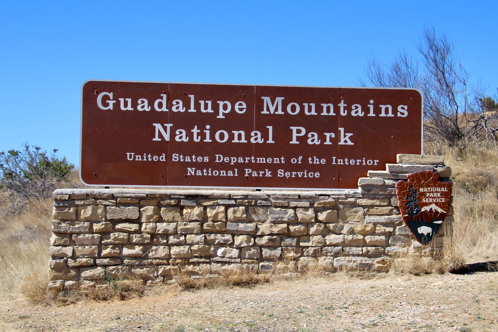
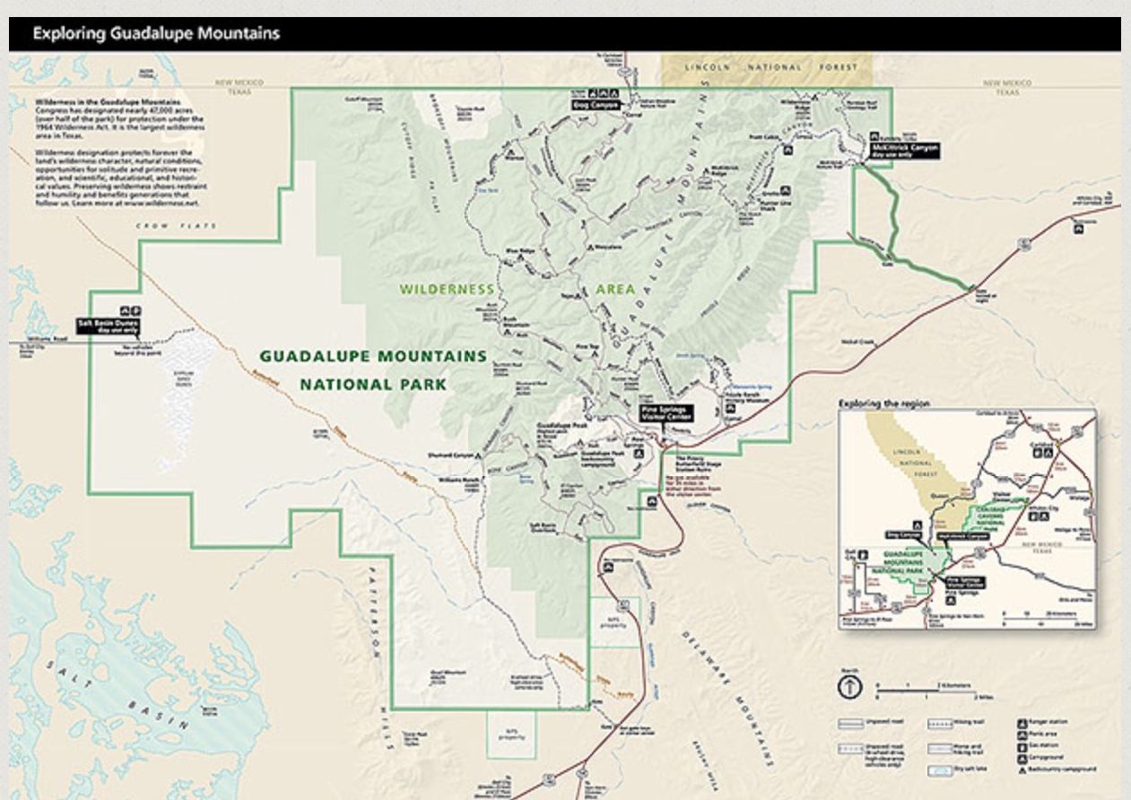
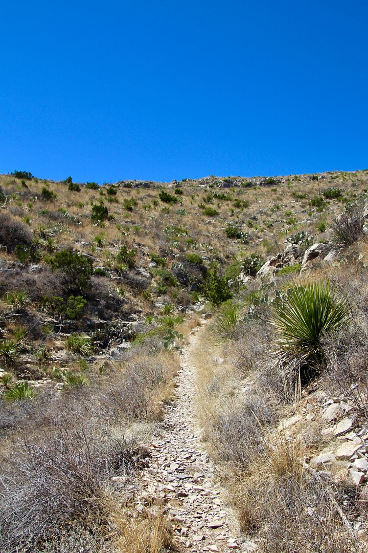
The national park was established on 1972 to preserve this beautiful region. The best way to see this park is by hiking (80 miles) into the backcountry (no dogs allowed). Ugh. But 60% of the trails permit horseback riding. Below is a map of the 86,400+ acre park.
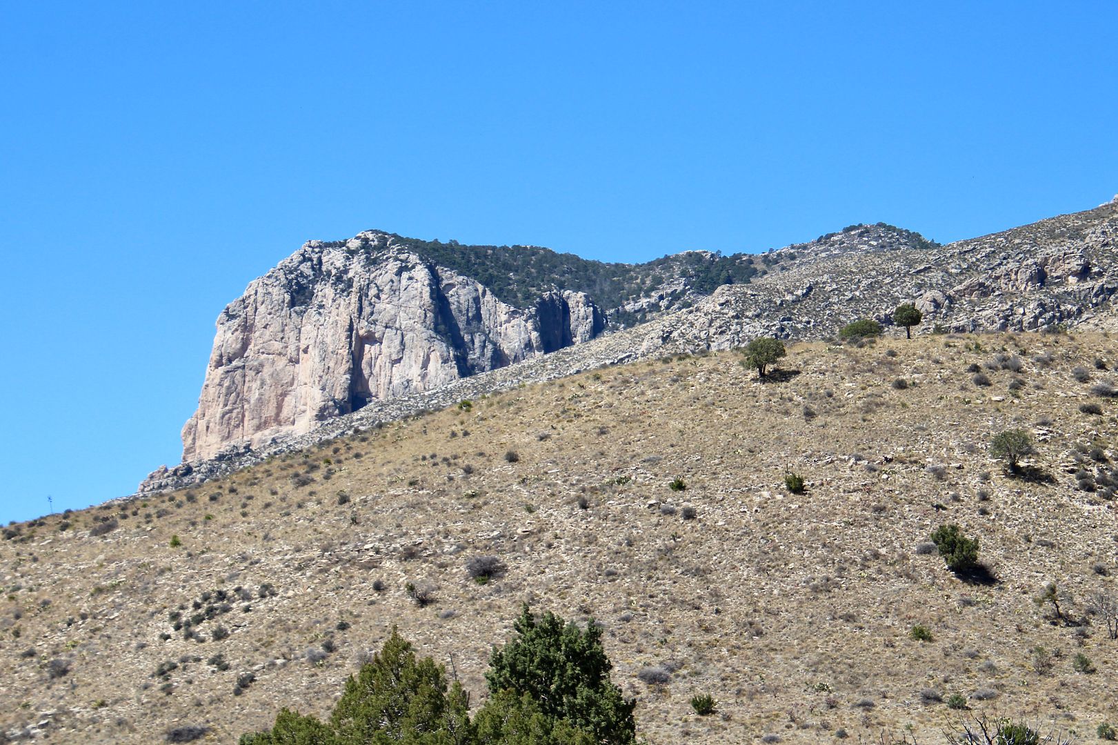
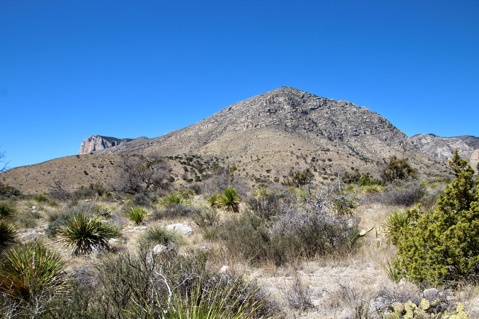
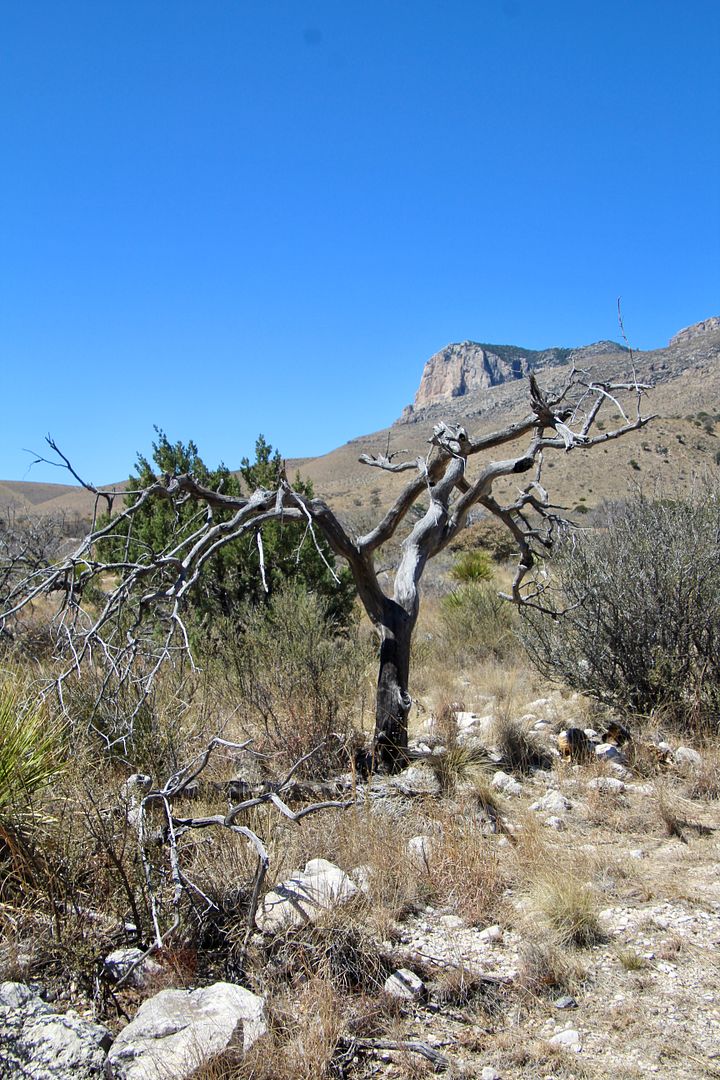
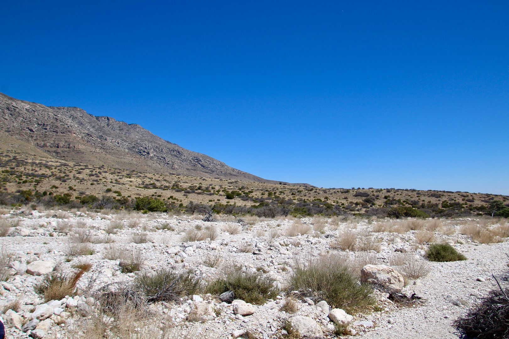
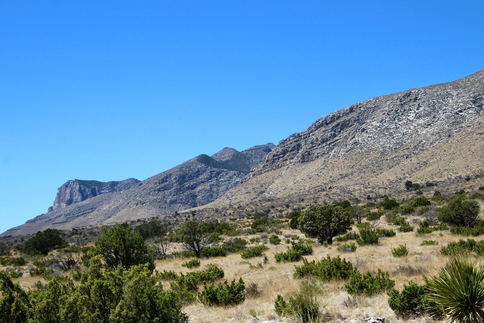
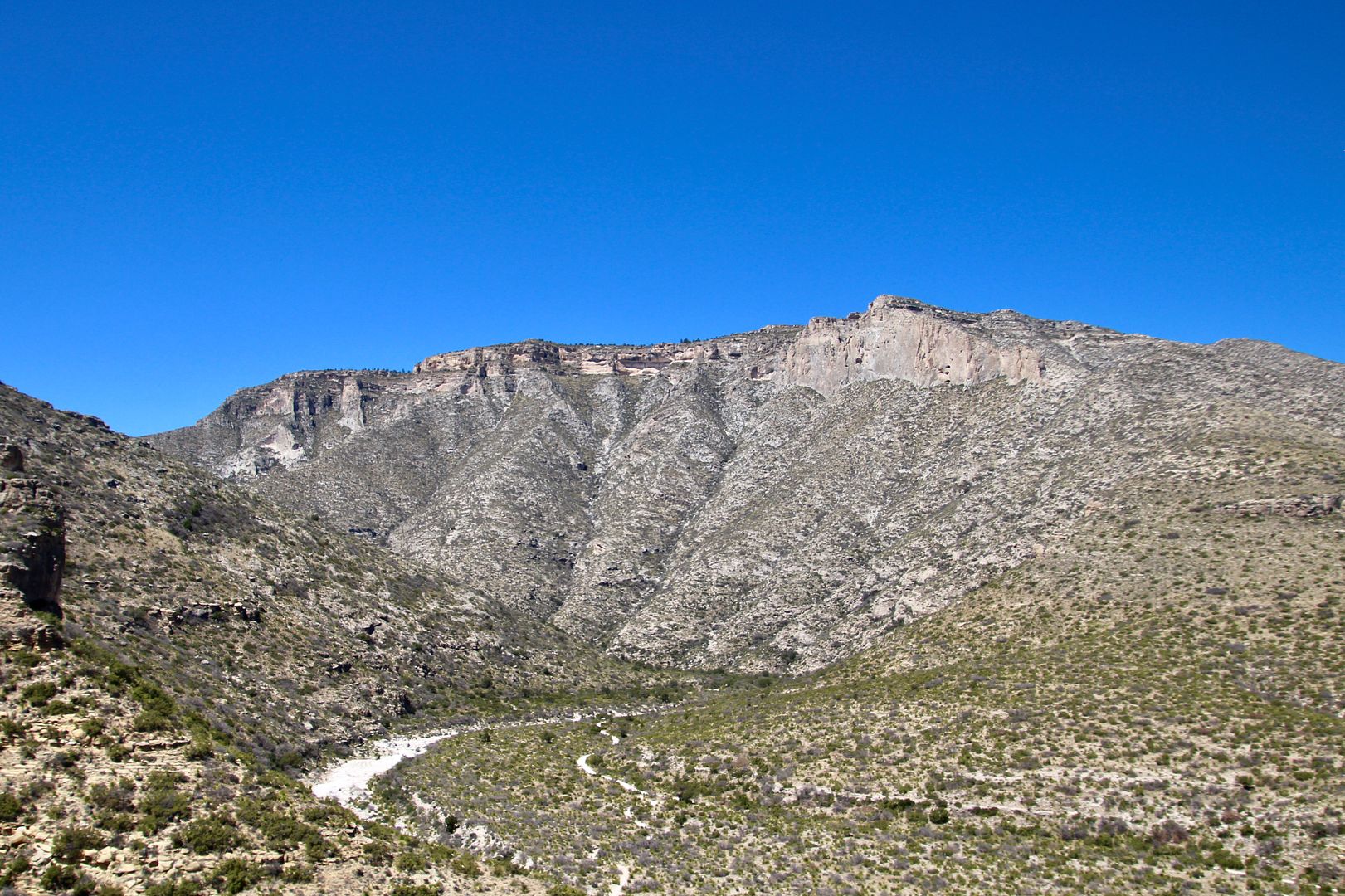
El Capitan and the surrounding Guadalupe Mountains are part of an ancient fossil reef that was under the large Delaware inland sea 260-270 million years ago.
The Nde (Mescalero Apache) were the only inhabitants of the Guadalupe Mountains until the 1800s when pioneers, stagecoach drivers, US Army troops and ranchers began exploring and living in the area. The Nde did not welcome them. In 1849 the US Army began a 30-year campaign to drive out the Nde. By 1880, they had succeeded in doing so (what a sad commentary on American history).
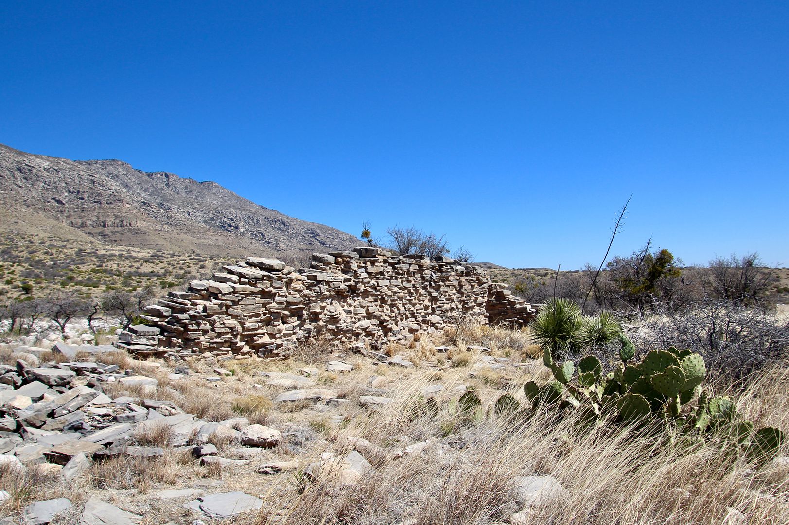
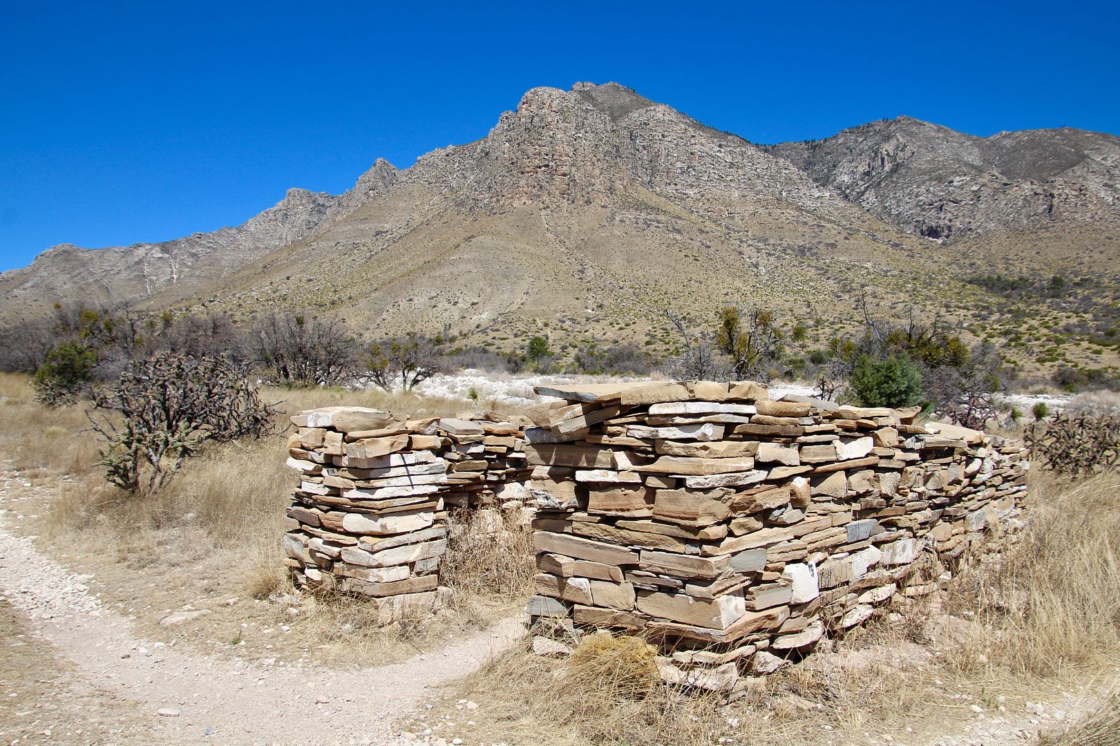
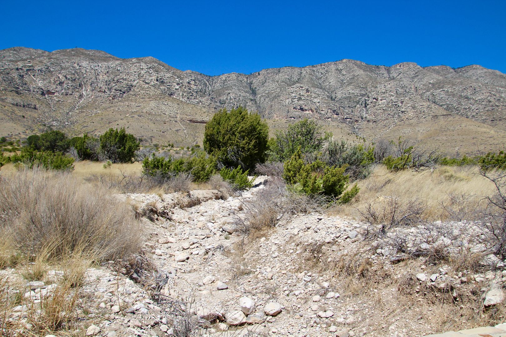
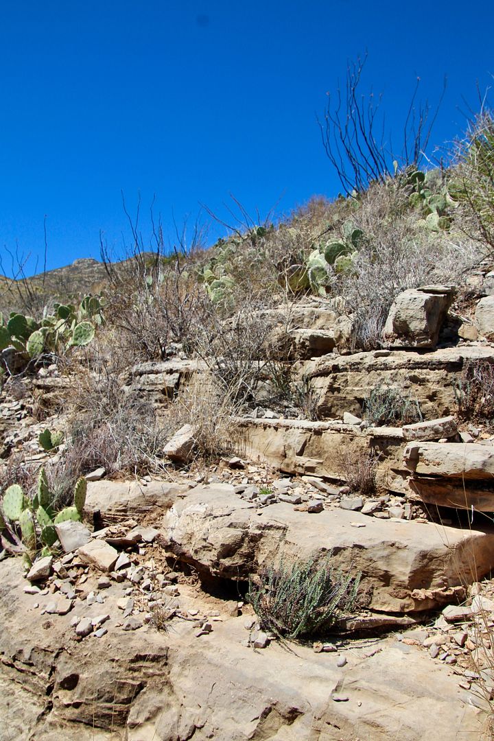
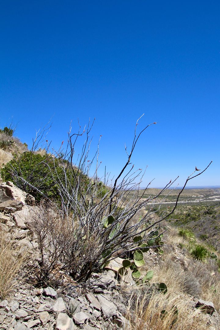
Near the Visitor center is the .75 mile Pinery Trail that goes through the Chihuahuan Desert to the remains of a Butterfield Trail stagecoach station. Leashed dogs are permitted on only this trail in the entire park. Interpretive signs about both the natural and cultural history of the area can be found along the trail.
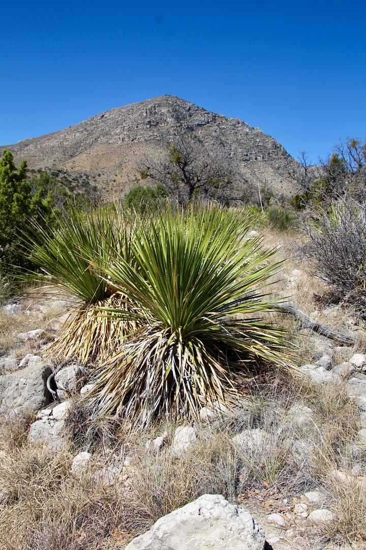
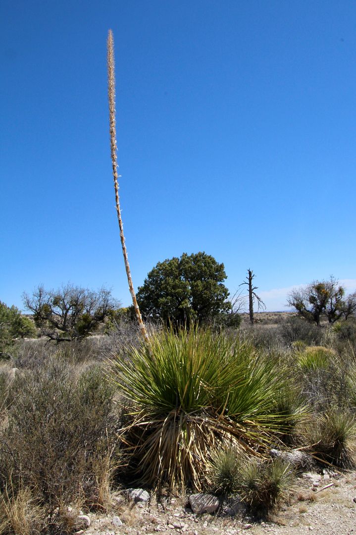
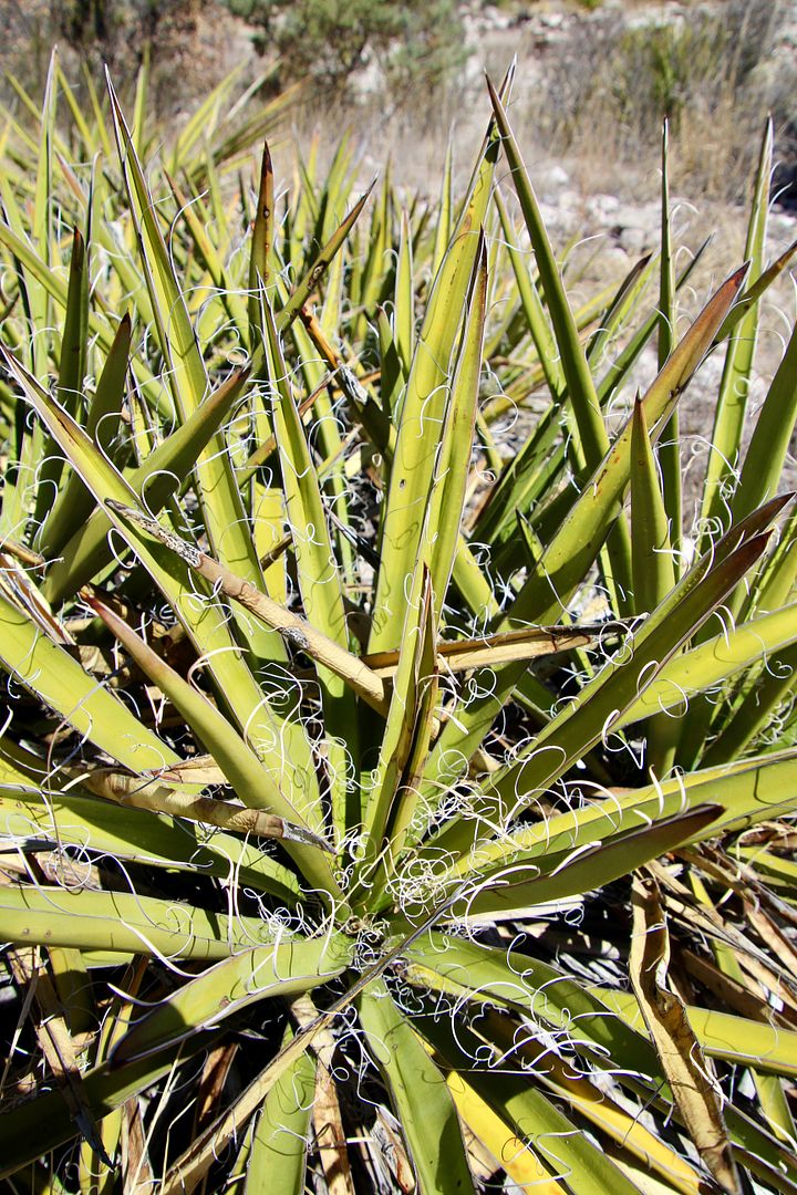
Almost every part of the sotol plant was used by the Nde for food, fuel, materials for building houses and weaving, and even a fiery liquor.
Between September 1858 to August 1959, Celerity stagecoaches stopped here for water, food, rest, fresh mule teams, and protection on the first transcontinental route. In 1859, it was shifted to the Davis Mountain Route. Stagecoaches traveled day and night, 120 miles a day, accommodating up to 9 passengers, limited baggage, and 12,000 letters. Prior to that. mail was transported via steamship around South America. Interpretive signs about both the natural and cultural history of the area can be found along the trail. Below are the ruins of the original fort-like structure.
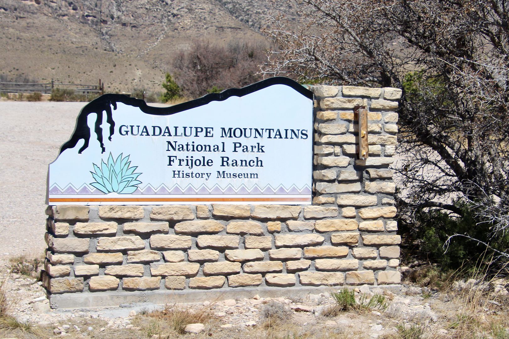
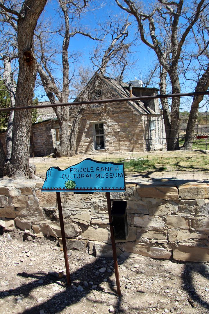
When the Civil War broke out, the Butterfield’s 6-year mail contract was canceled. We made our way back to our car and drove to the Frijole Ranch. The museum was closed but there are interpretive signs in the area and we were able to walk around the property.
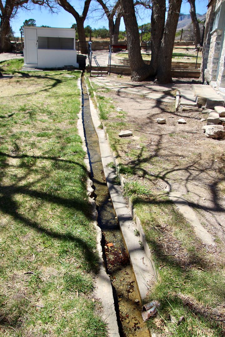
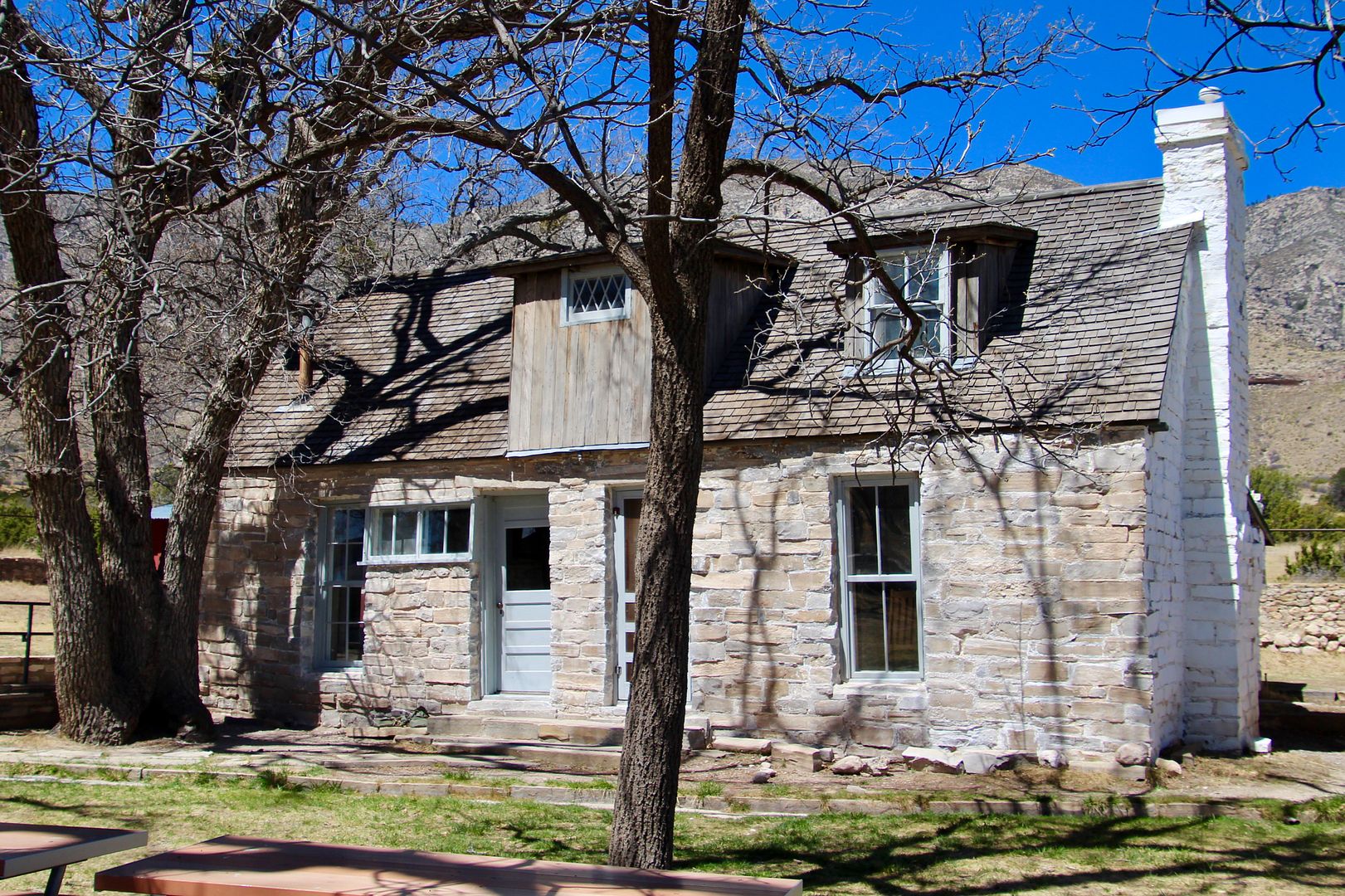
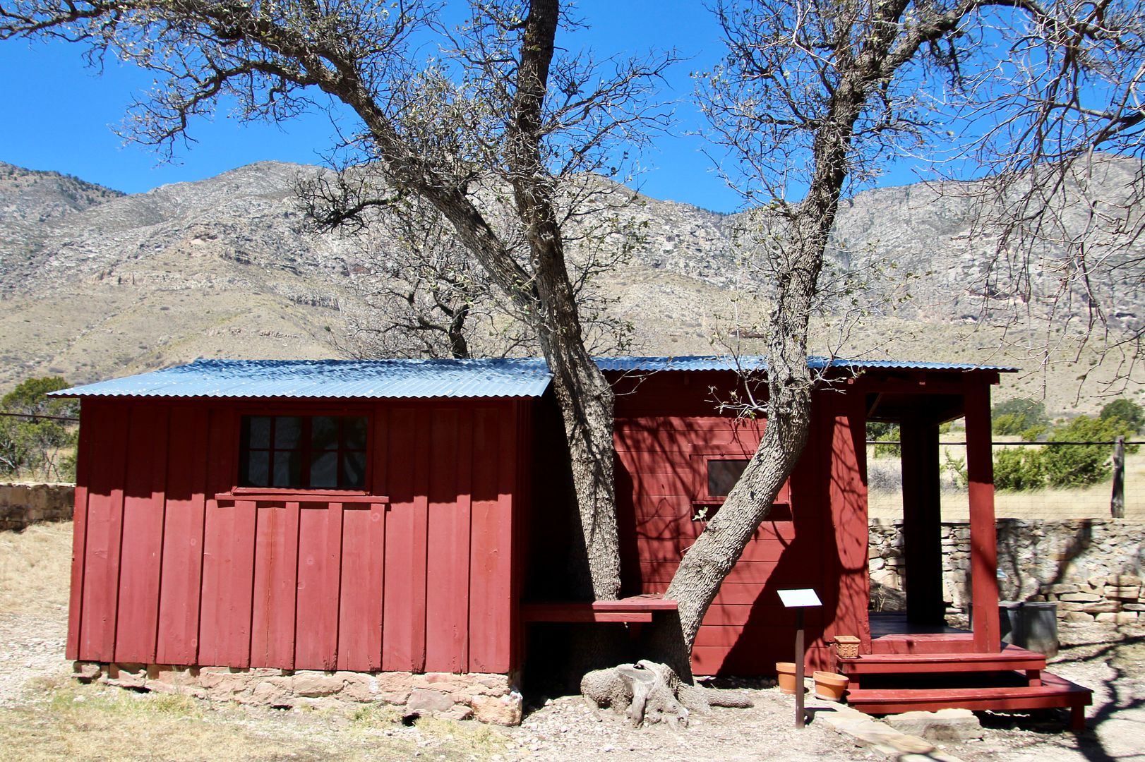
Settling here in the 1870s with some cattle, the Radar brothers built a two-room house on the property (the front of the house shown below). In 1906, the Smiths moved here and supported themselves with truck farming and a small orchard (although the nearest market was 60 miles away!) They added a kitchen, two bedrooms, upstairs, a spring house (the spring of the flow is 6 gallons/minute), guest house, and double bath house.
This (red) building was used as a a bunk house, storage shed, barm, and schoolhouse (for 8 kids in the area). And this was the Post Office from 1912 to 1940.
Judge J. C. Hunter purchased the ranch in the 1940s and raised thousands of Angora sheep and goats. To visit other homesteads, you need a 4-wheel drive vehicle you can drive to the Williams Ranch or hike to the Pratt Canyon.
We walked along the Manzanita Springs Trail before returning to the car (where our sweet doggie, Sadie, was waiting for us).
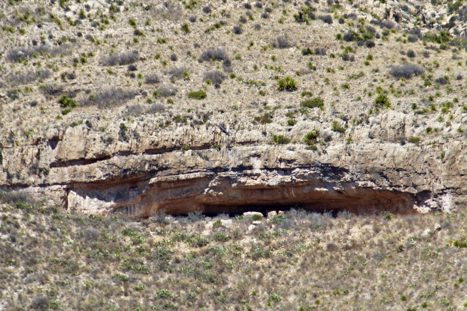
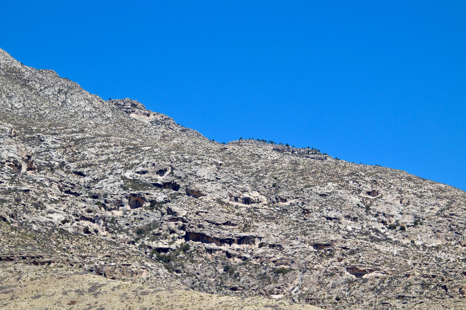
There are so many rock shelters and caves here. I love to envision myself living here as a Native American...so much to explore. Almost every plant in the desert was used in their day-to-day lives. And hunters went into the mountains for big game. So interesting.
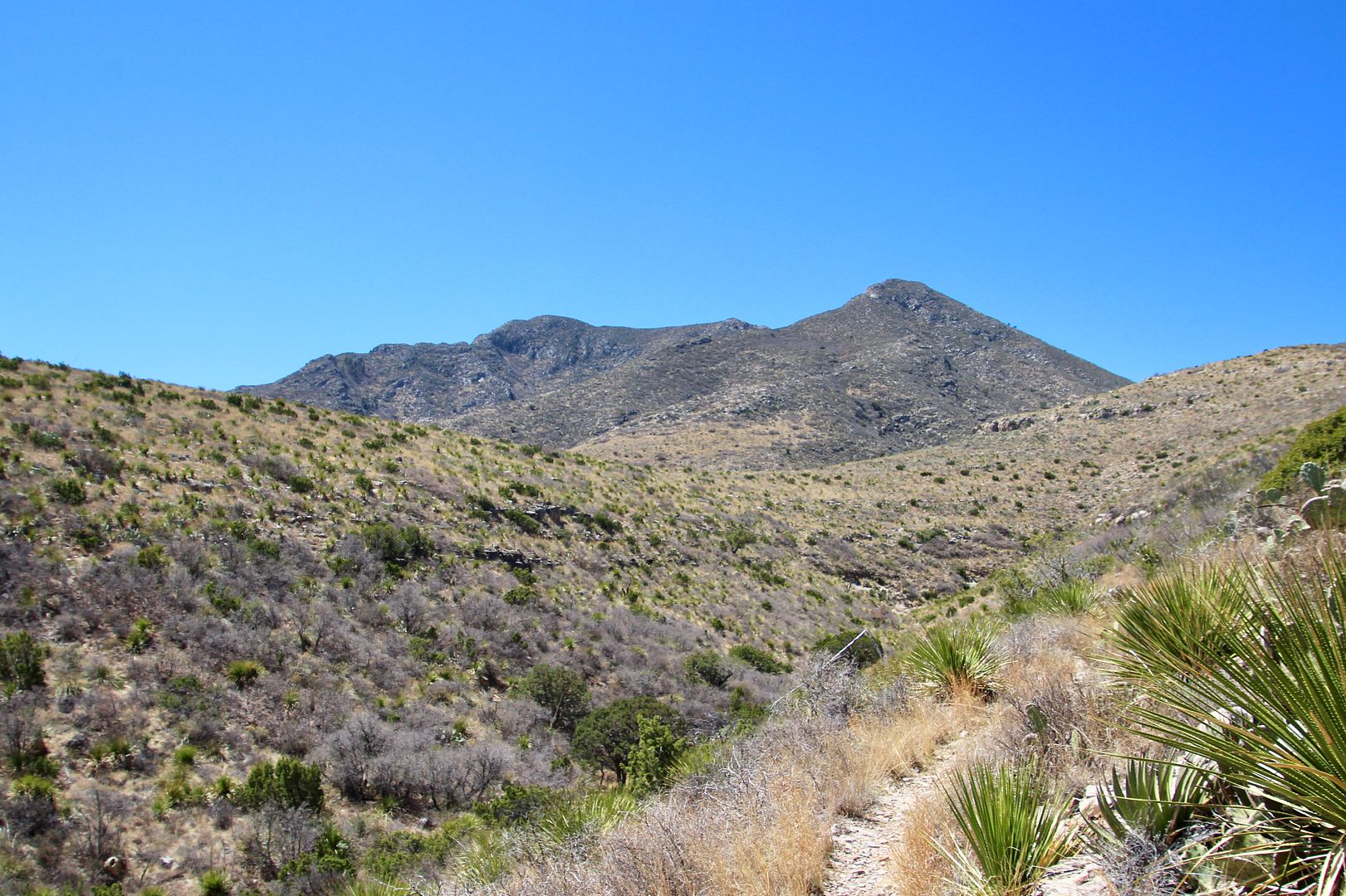
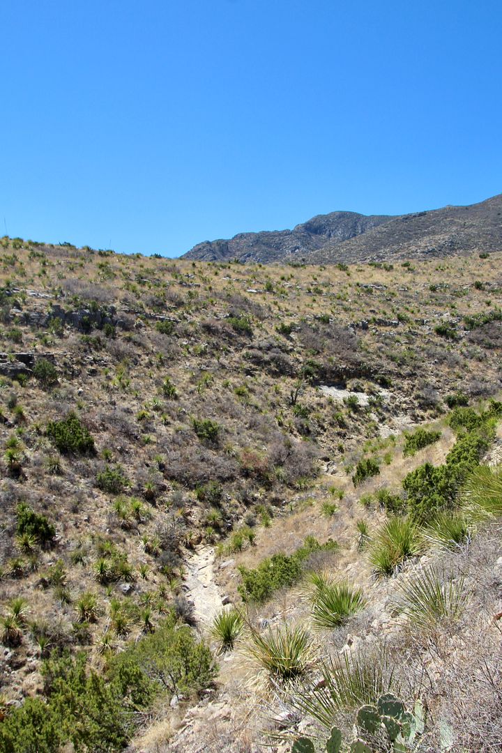
The imposing El Capitan (8,085’ elevation) dominates the horizon even from here.
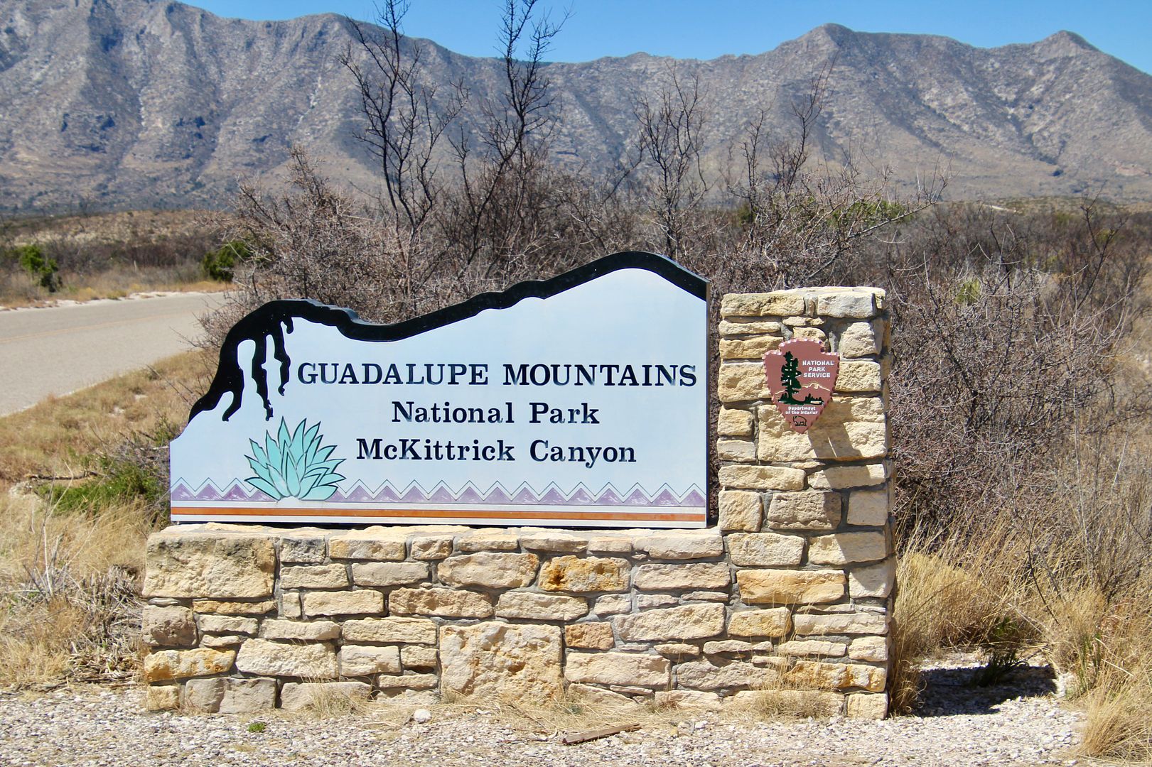
We drove to our last stop for the day: McKittrick Canyon, a very popular hiking area at the peak of colorful autumn leaves. It is. 4.8 to 6.4 mile trail (depending on the route). There is also the 1-mile McKittrick Nature Trail.
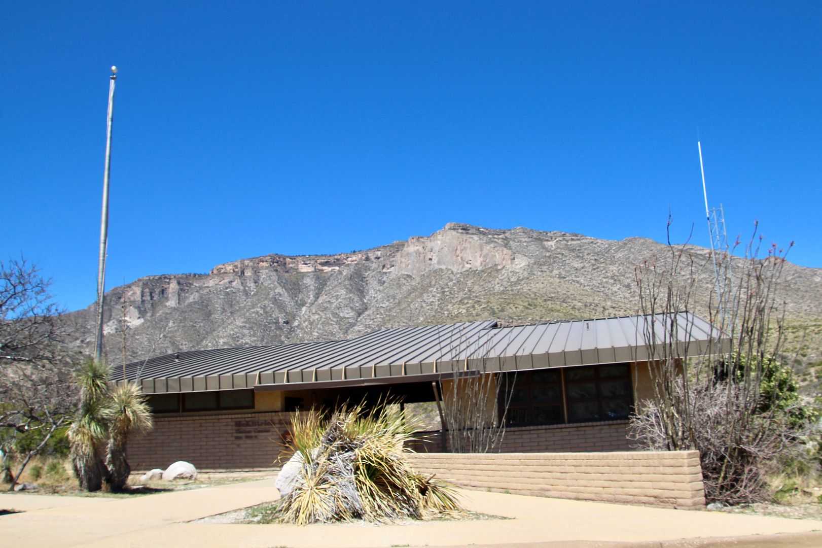
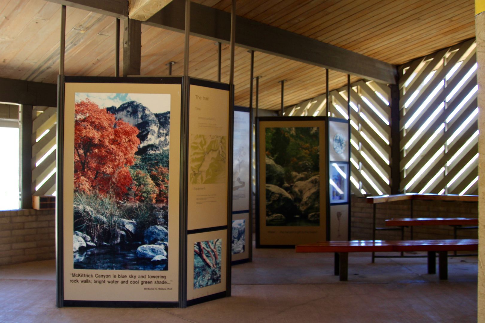
This was once a Visitor Center, but now restrooms are available and there are interpretive panels on the rear deck.
This was once a Visitor Center, but now restrooms are available and there are interpretive panels on the rear deck.
Because we had Sadie with us, we only hiked the Nature Trail. It was a loop trail that provided great views of the canyons, desert plants, and mountains in the distance.
From the trail we also had a good view of McKittrick Canyon. We hope to return to hike this trail some day.
Admission to Guadalupe Mountains National Park is $5/adult for a 5-day pass, payable at the Visitor Center. An annual family pass, however, can be purchased for just $20. Our Senior Pass provides for free admission at all national parks. For additional information about the park and campgrounds, go to www.nps.gov/gumo.
Love hiking in the GMNP... by the way I finally got the windshield replaced using your recommendation out of New Brunfels... Thanks for the tip, he did a great job!
ReplyDeleteGlad to hear that worked out well for your windshield repair. What a pain! Yes, GMNP is beautiful.
ReplyDelete