After our great experience hiking the La Verde Vista Trail in the southern region of the Rio Grande del Norte National Monument, we decided to explore the northern area.

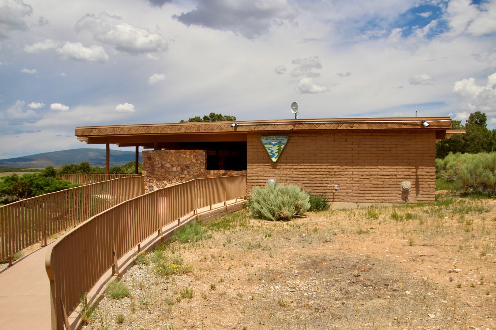
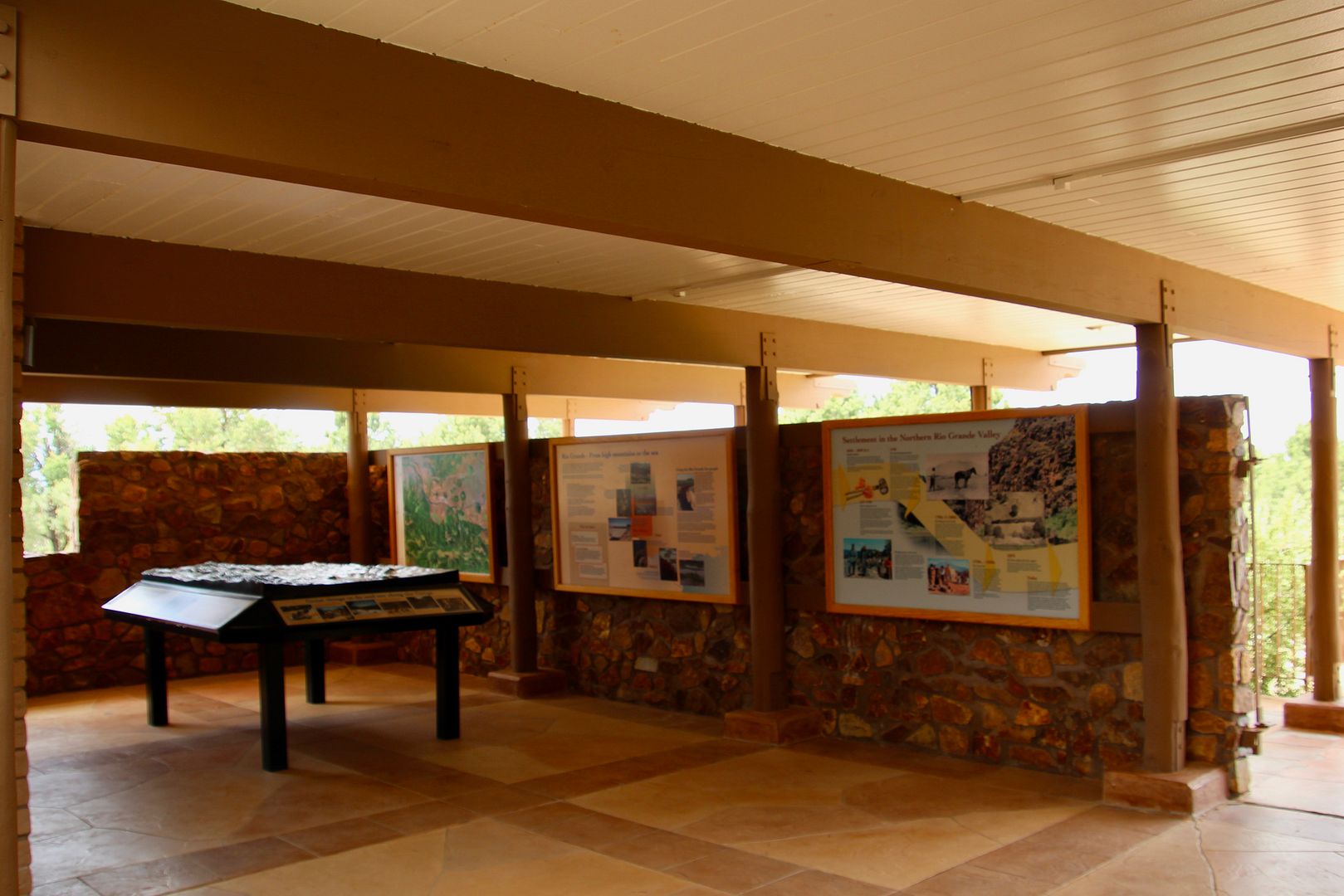
We drove to the Wild Rivers Visitor Center about an hour away from our RV park in Taos. This is the northern end of the 82-mile long Rio Grande Gorge. Exhibits about the geology of the region can be seen here.
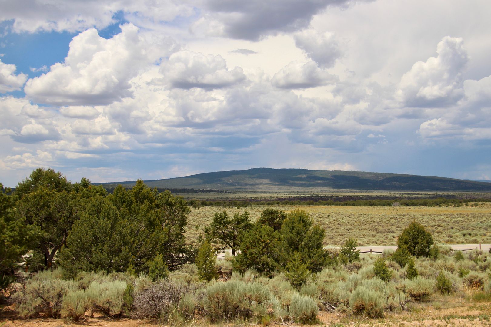
When looking across the plateau from the Visitor Center, you can barely discern that there is a huge canyon nearby. The rim has grassy, sagebrush fields.
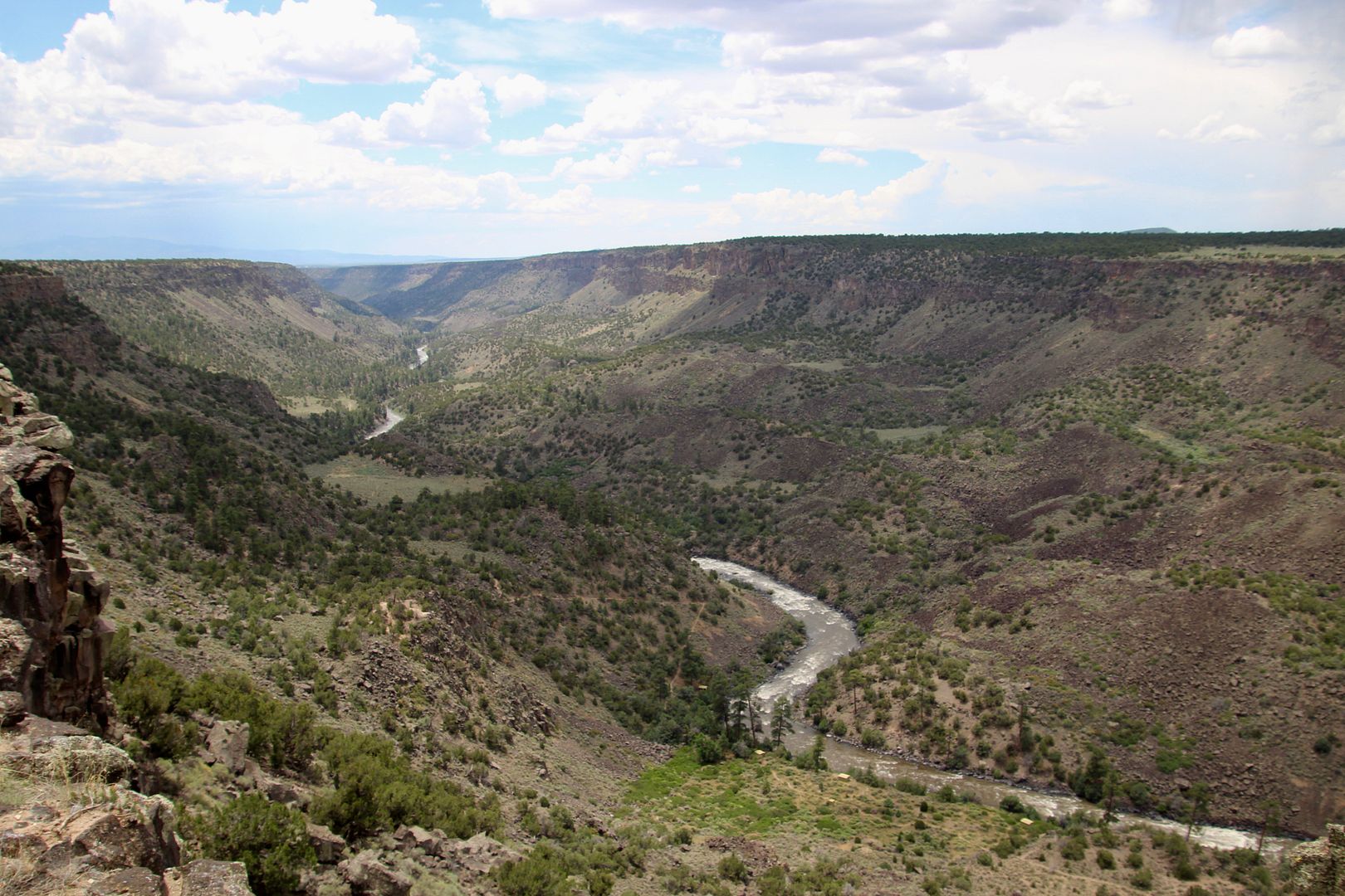
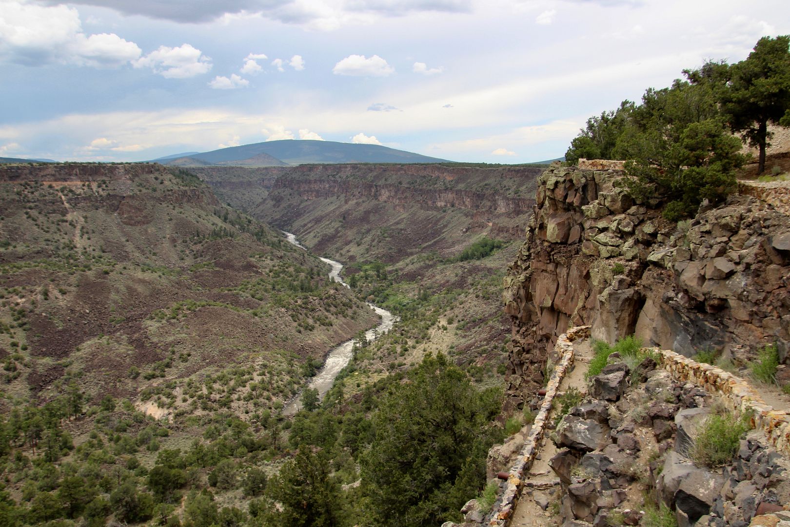
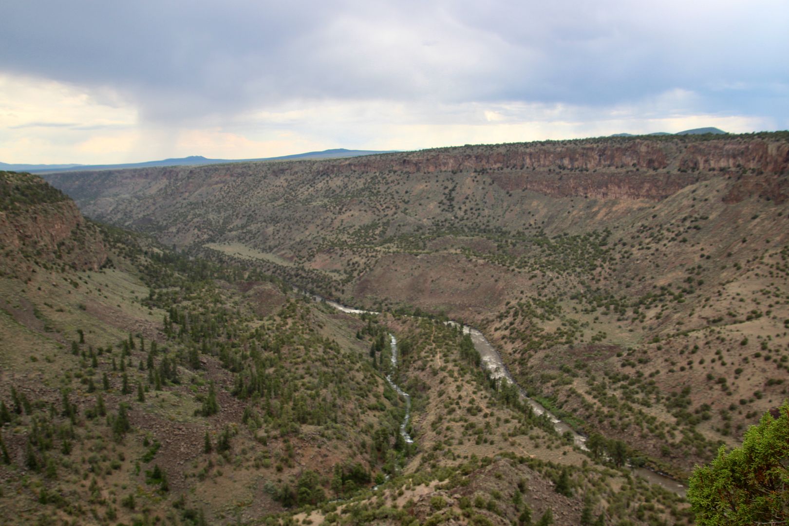
En route to the Big Arsenic Trailhead from the Visitor Center, we stopped at Chawalauna Overlook. The river began creating the deep canyon 2-3 million years ago (younger than the Grand Canyon) by cutting through stacked layers of lava and sediment. This is the view to the south.
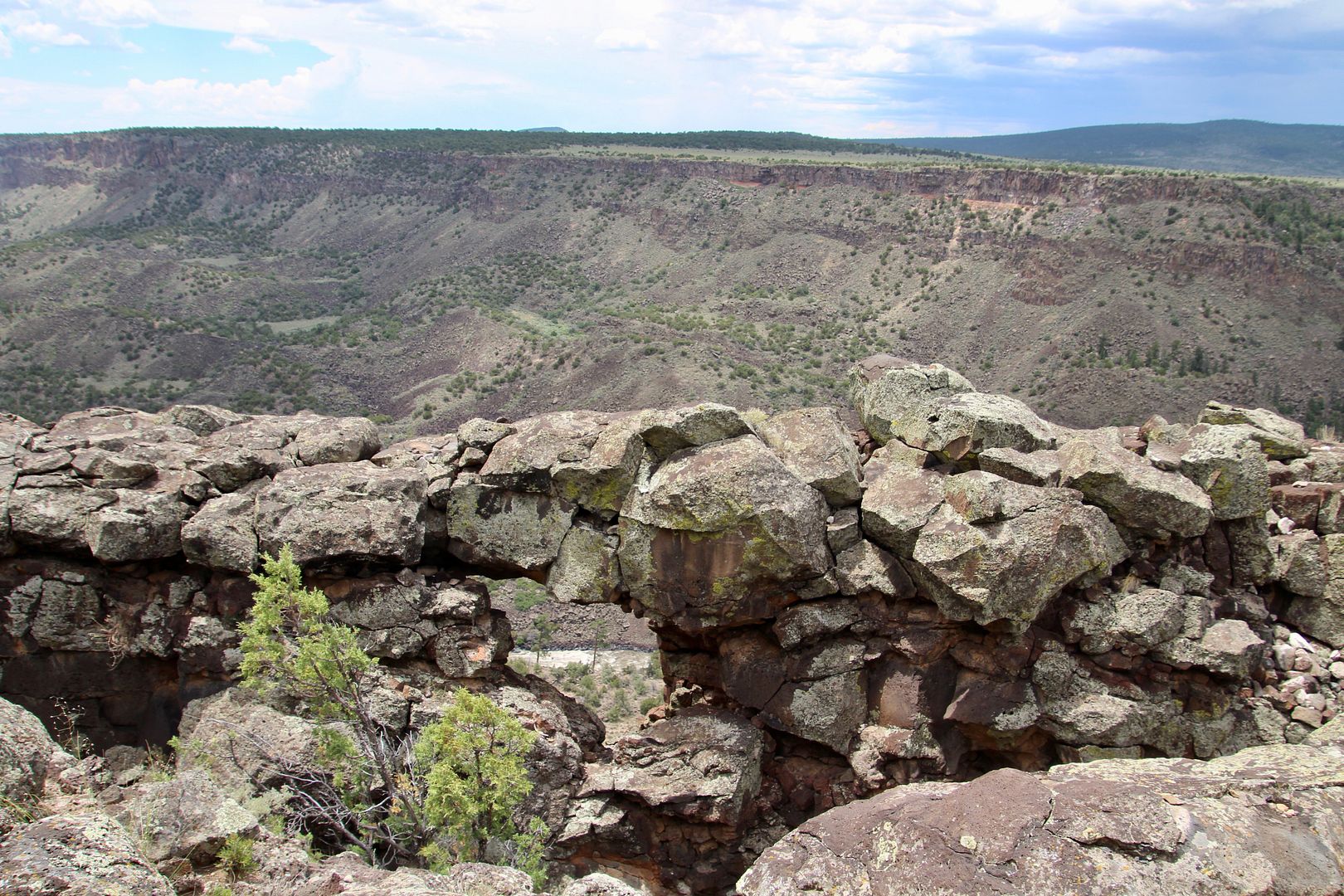
Check out this large rock window that has, somehow, been created by the forces of nature here.

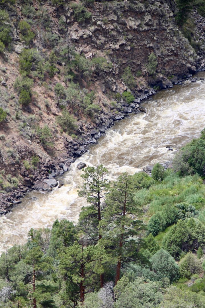
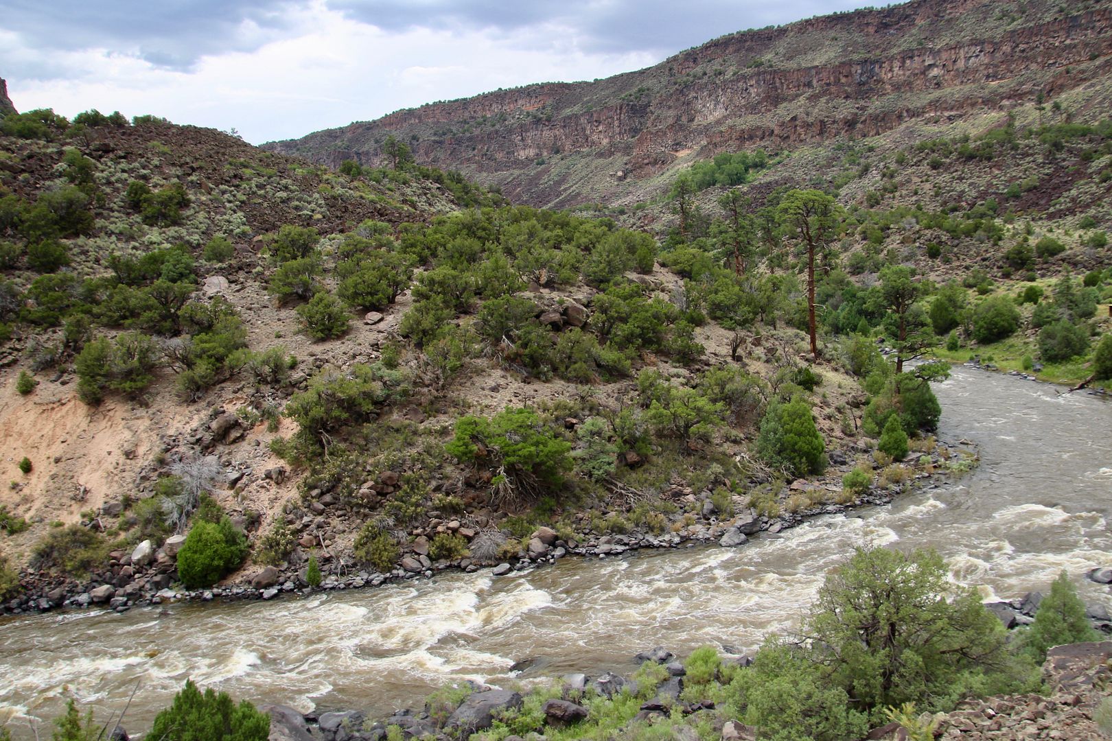
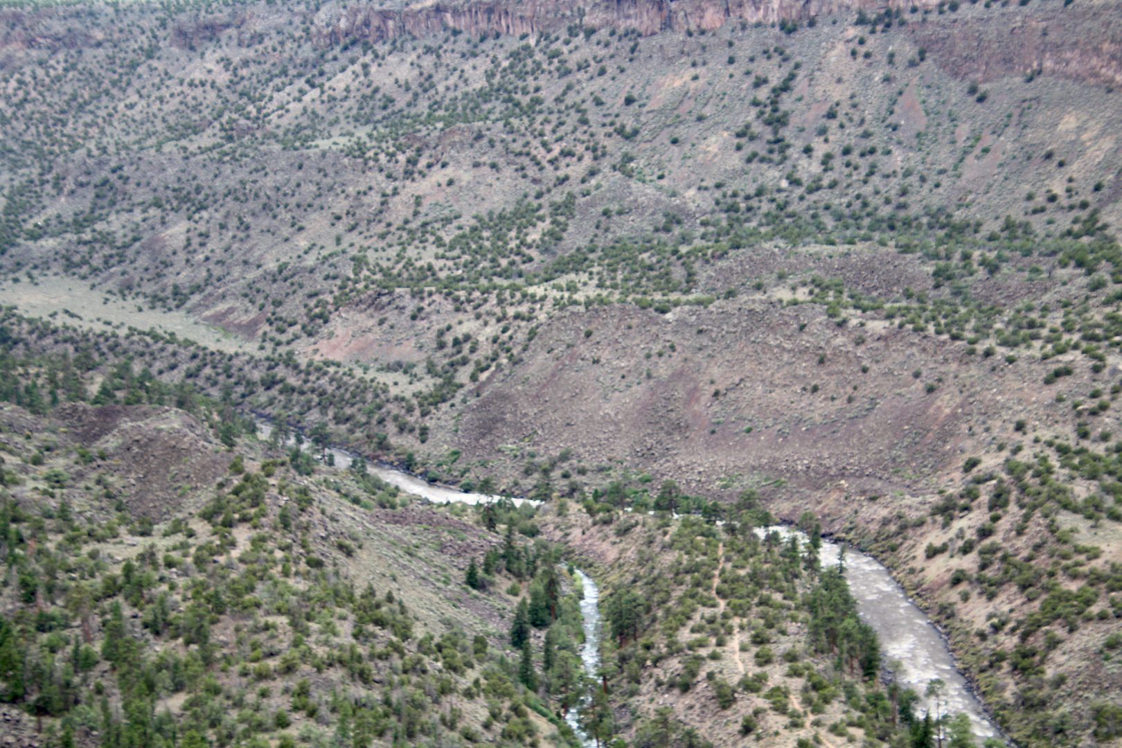
We could hear the roar of the rapids from the picnic area at the overlook. Also shown is the view of the Rio Grande to the north.


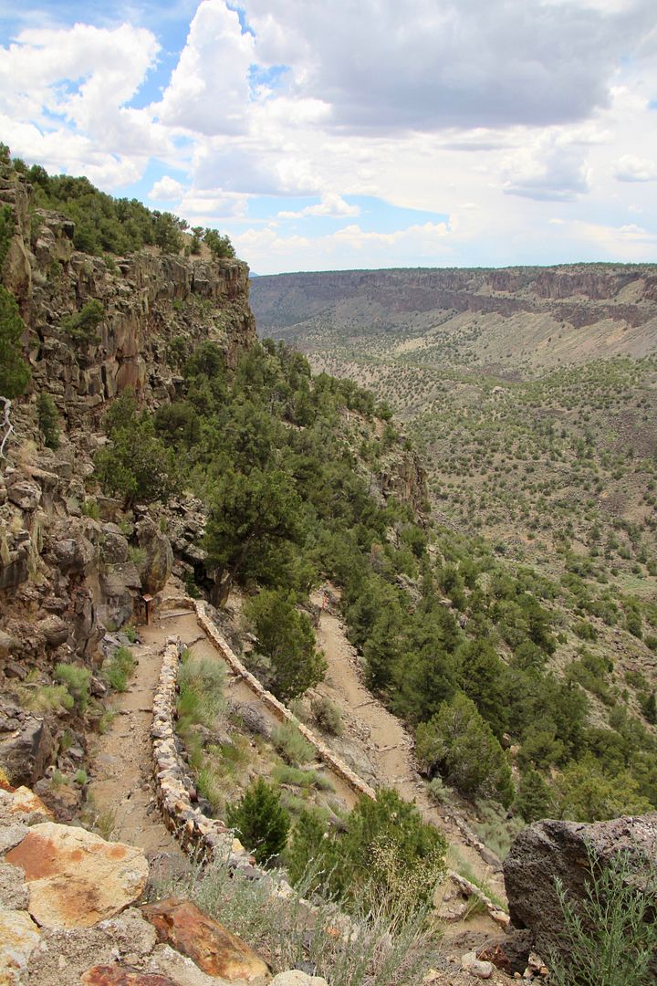
The Big Arsenic Trailhead was a short distance south of Chawalauna Overlook. At an elevation of 7,500+ feet, the trail leads 680’ down to the Rio Grande. The trail is rated as moderate (due to rockiness and elevation change).
Most of the trail are tight switchbacks that descend towards the river.

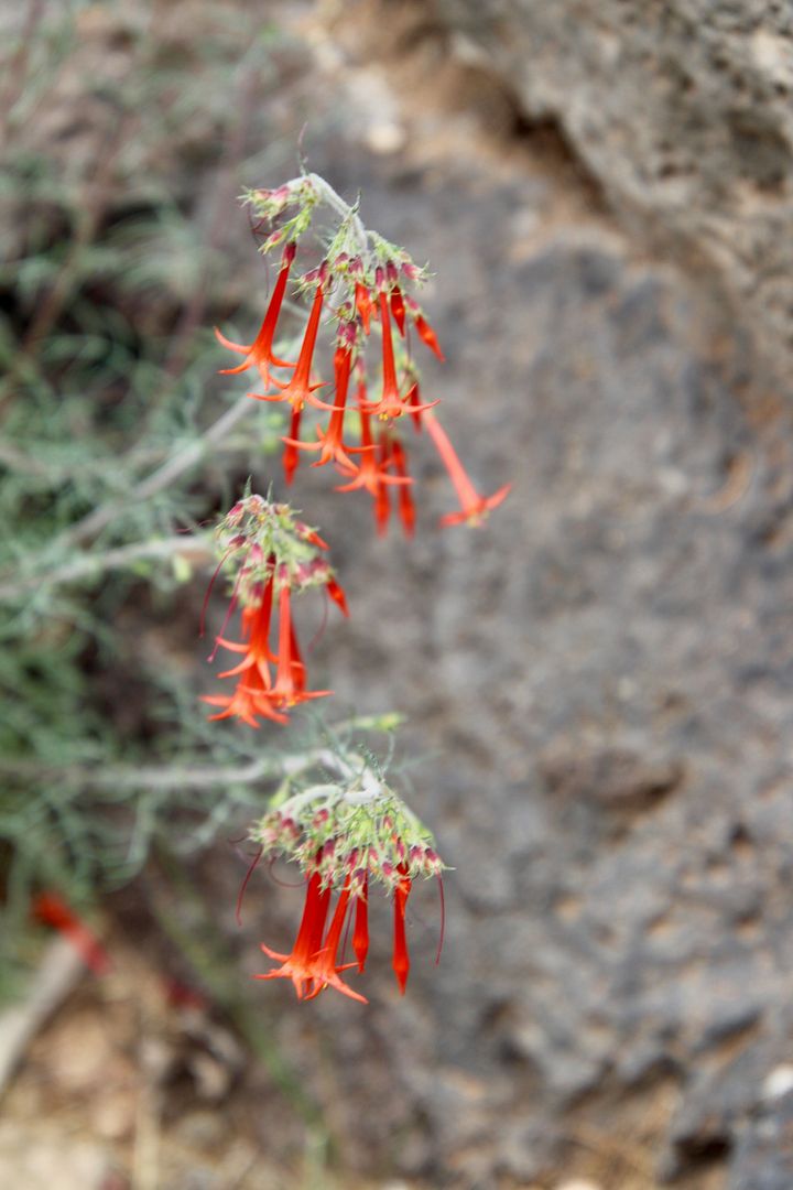
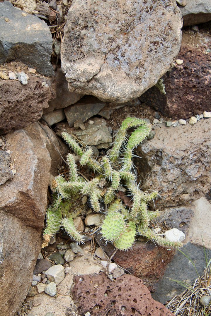
Plants survive in this harsh environment, seeming to grow out of rocks.

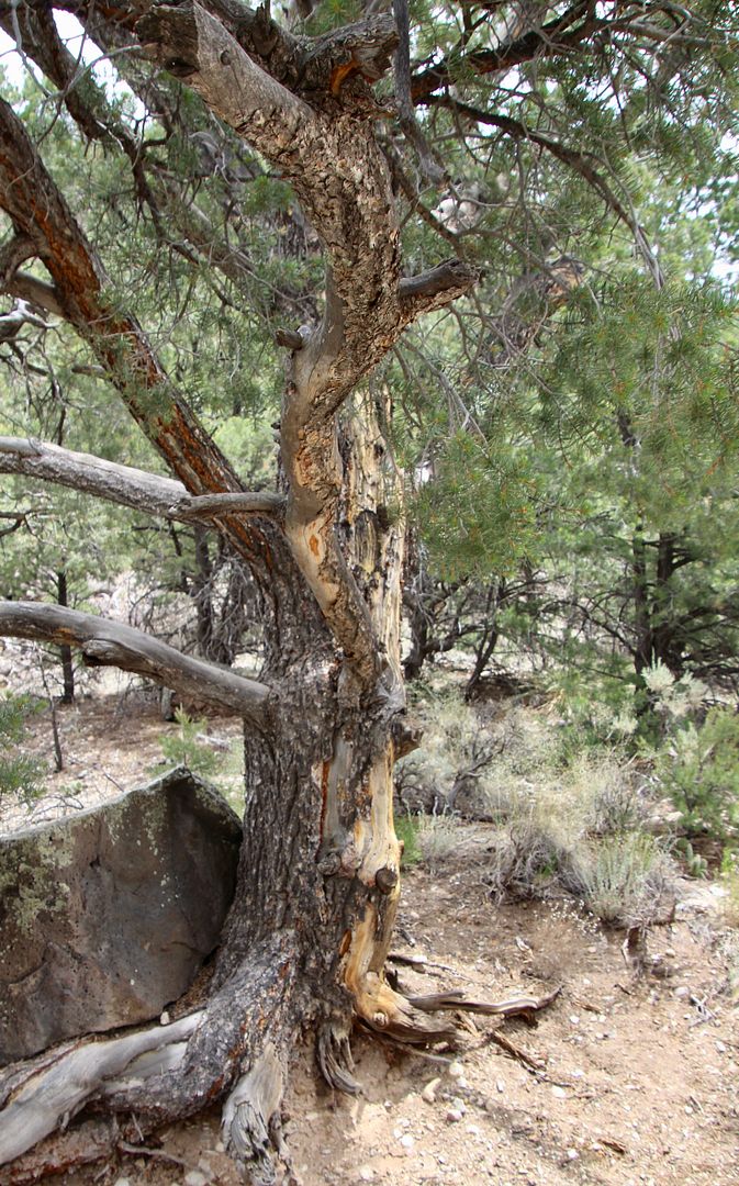
Pinyon and ponderosa pines began to appear along the trail. The first photo shows a pinyon pine that has been a food source for porcupines. They peel away the outer bark to eat the tender inner bark of the pinyon (which can sometimes kill the tree) and ponderosa trees.

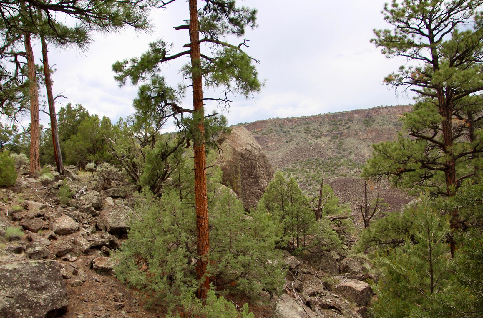
Ponderosa pines grow at altitudes of 2,000 to 10,000’ With a maximum height of 230’, these pines take 350 to 500 years mature.
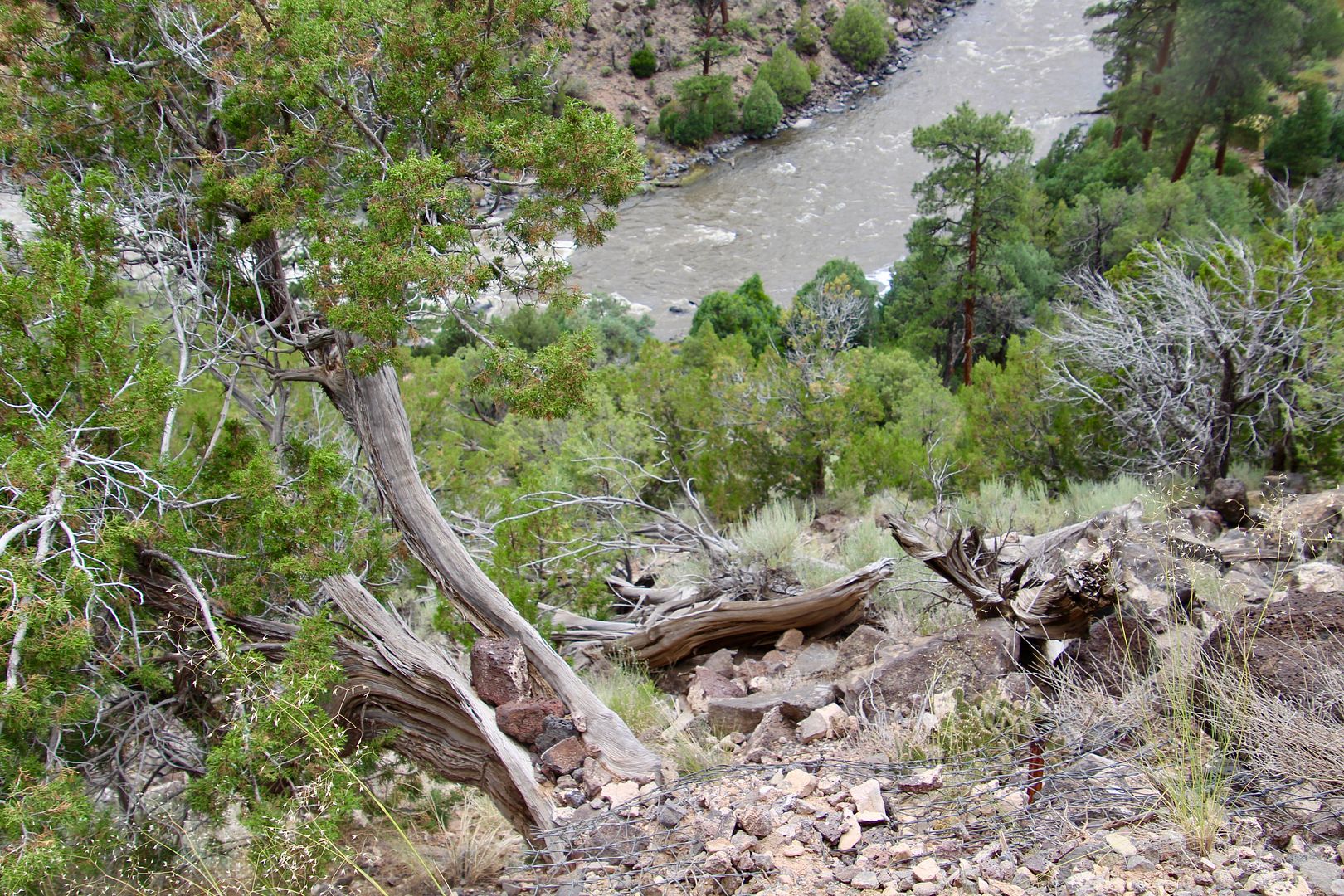
As we continued down to the trail the roar of the river grew louder...

This plant, Apache Plume, is found in moist bottomlands. It is an important food source for deer in winter months. Twigs of the plant were used by Natives for brooms and older/larger stems for arrow shafts.

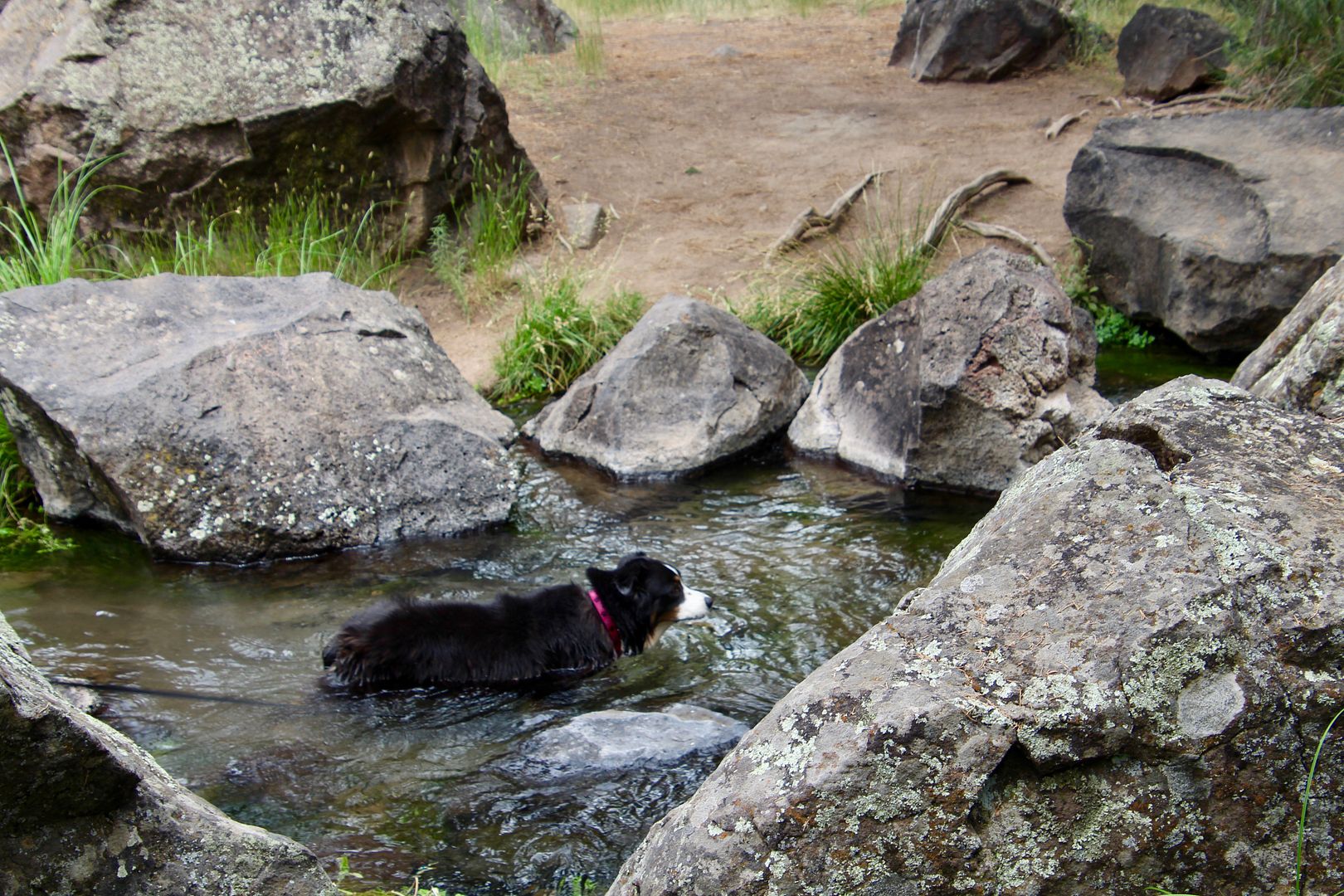
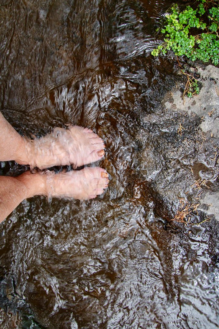
Pools of water in a stream that flows into the Rio Grande provided a great spot for Sadie to go for a swim. And it looked so inviting, I took off my hiking boots to soak my feet…very refreshing!

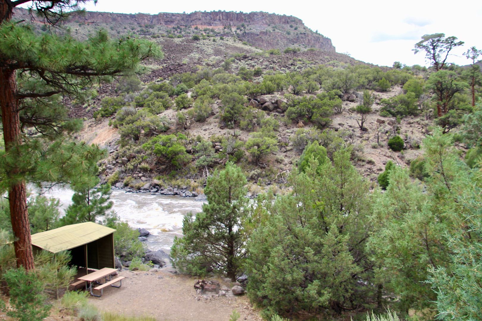
We ate our lunch at one of the shelters (with picnic tables) next to the river. We knew the hike to the rim was going to be a bit strenuous!
Check out the rocks wedged in the tree (on the left). We have seen this in flood plains, but we were high above the river. You never know what you might see in nature…
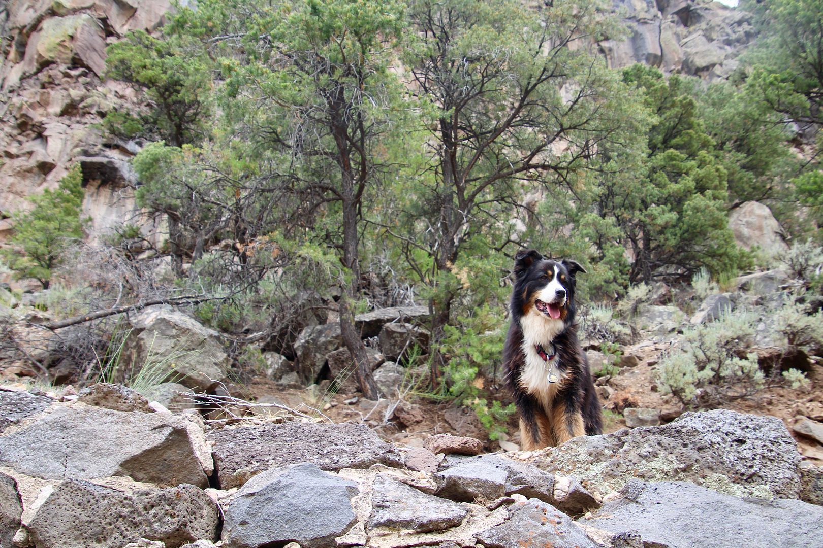
This is Sadie waiting for us to catch up to her. Even though we are all getting older, she deals with elevation changes a whole lot better than we do!
After we completed the hike, we made one more stop at nearby La Junta Point before heading home. The confluence of the Red River and the Rio Grande can be seen here. This is the widest (3/4 mile) and deepest (800’) part of the gorge.
This was another great hiking experience at the Rio Grande del Norte National Monument. The trails in the southern part of the monument have much less elevation change than this area. We loved it here and will be back in the area before we leave Taos.
For additional information about the National Monument, go to www.blm.gov/new-mexico.
No comments:
Post a Comment