For a change of scenery, we drove the Abajo Loop Scenic Backway through a portion of Manti-La Sal National Forest (located in SE Utah between Monticello and Blanding). We have spent so much time in the hot desert, that a retreat to the cool mountain air seemed like the perfect plan. Here is the map of the backway.
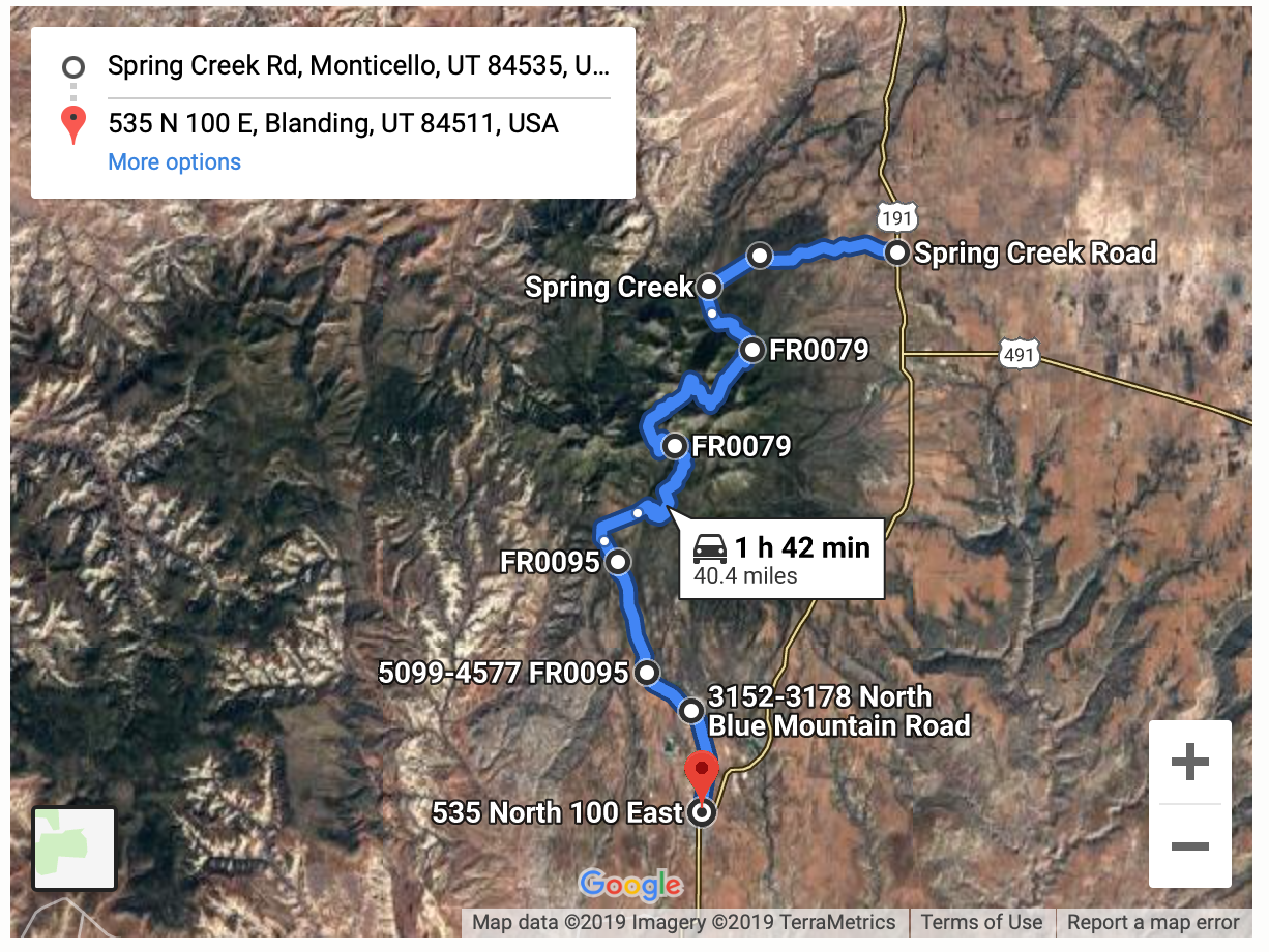
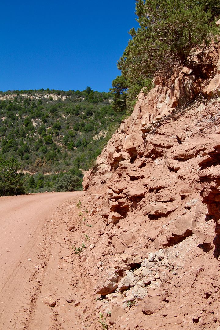
Beginning in Blanding, the road goes from the desert floor and canyons to steep mountains with overlooks providing expansive views. The road is a single-lane dirt/gravel road that is rough and rocky. Four-wheel drive vehicles are preferred, but many Ilike us) drive it in a passenger vehicle. It is impassible after rainstorms and during winter months.
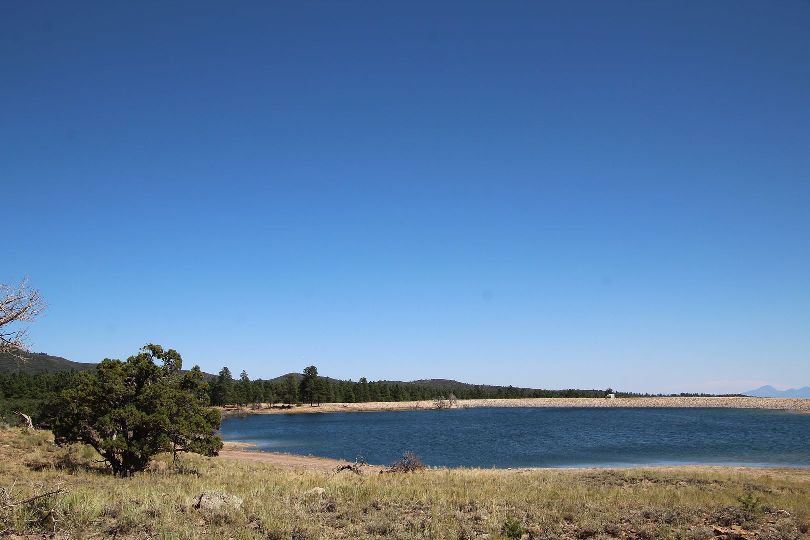
The road loops up through the forested Abajo Mountains. We came upon this lovely lake…just one of several in the area.
At first, we drove through forests but quickly began the ascent to the mountains.
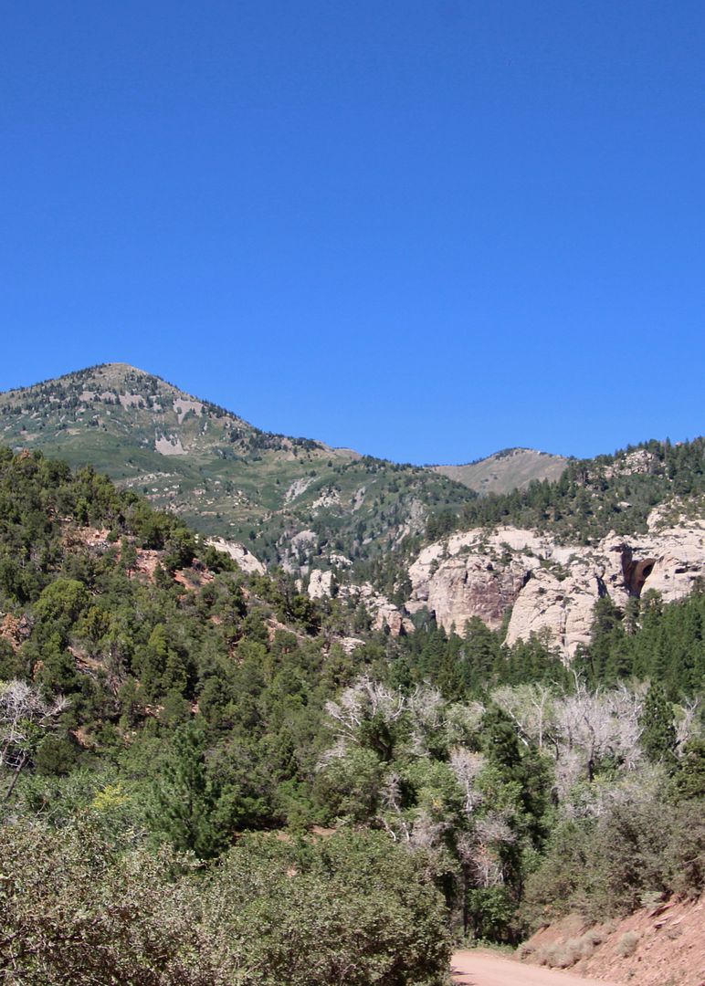
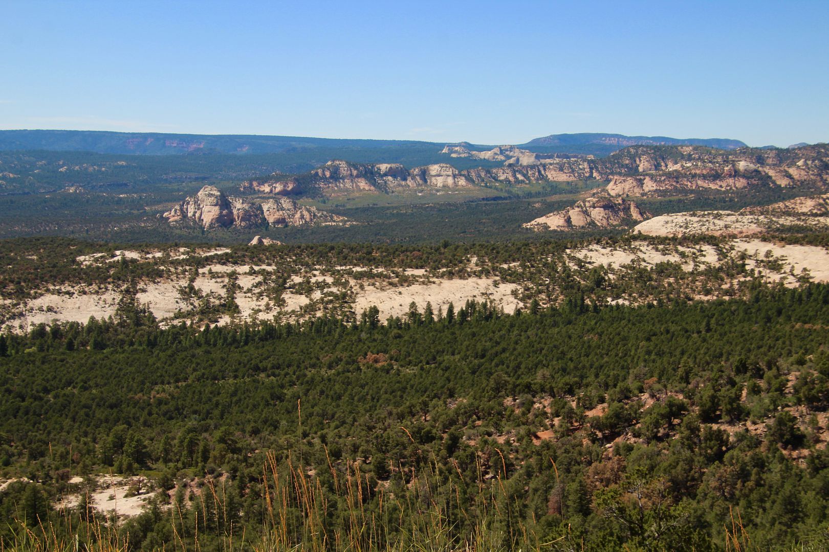
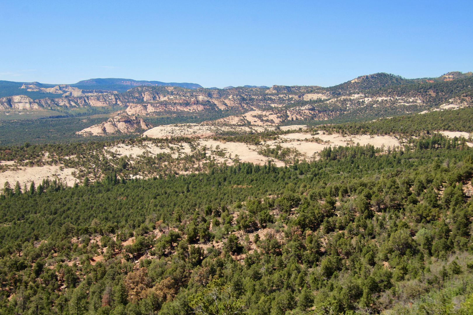
Amazing views await as the road goes higher and higher into the mountains. We stopped at several pullouts (being very careful on the narrow road!) to snap some photos of the views.
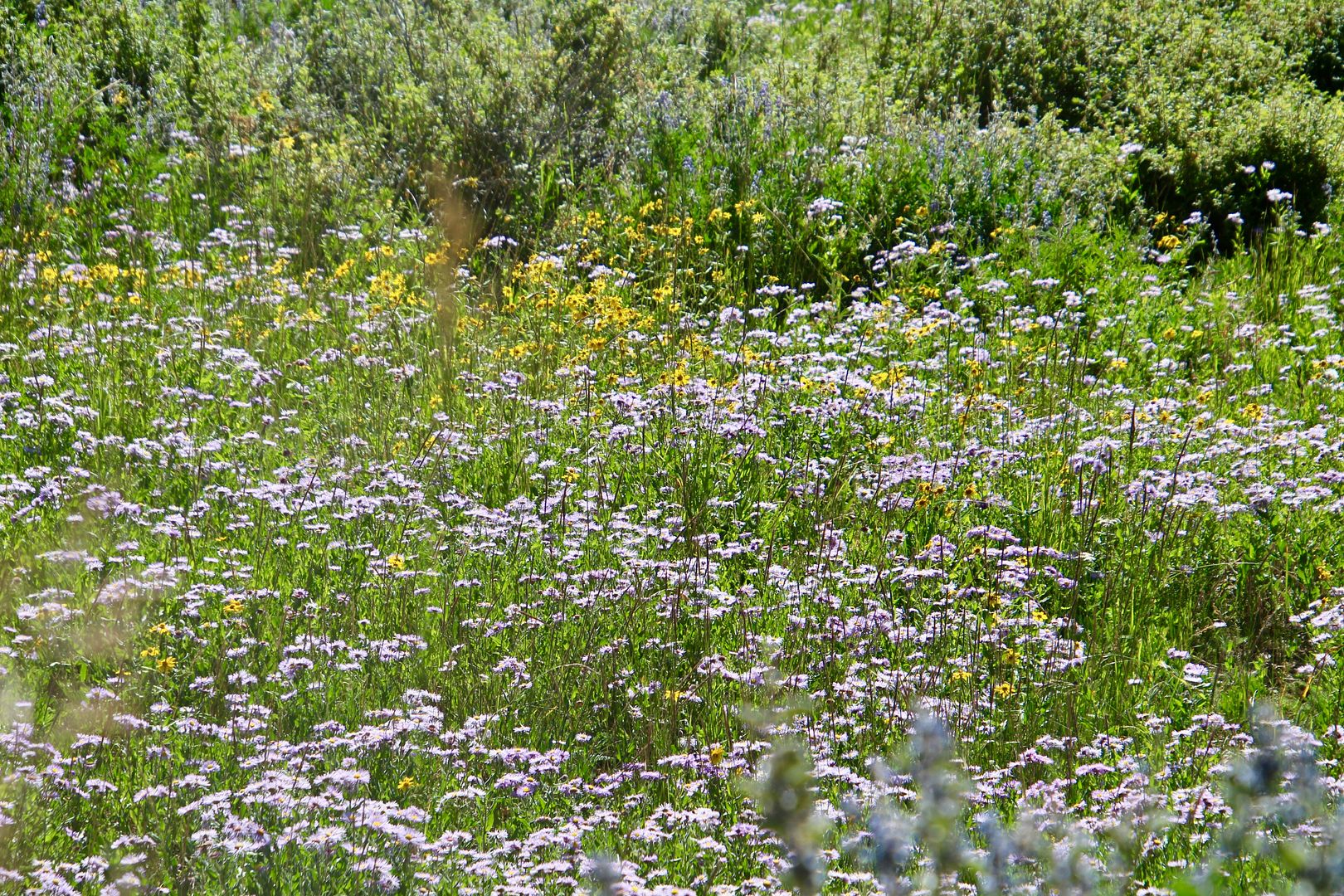
And, we came upon lovely meadows.
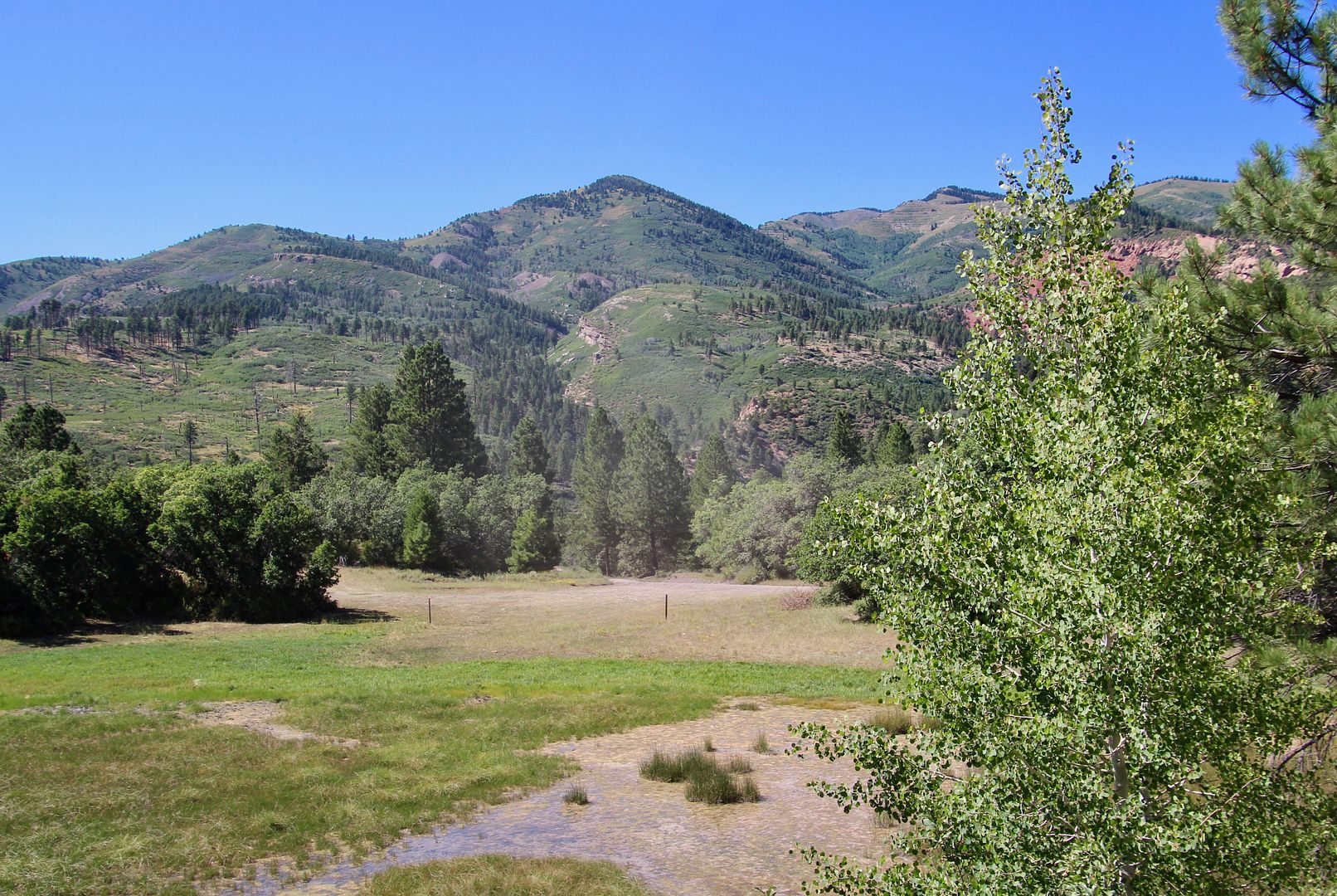
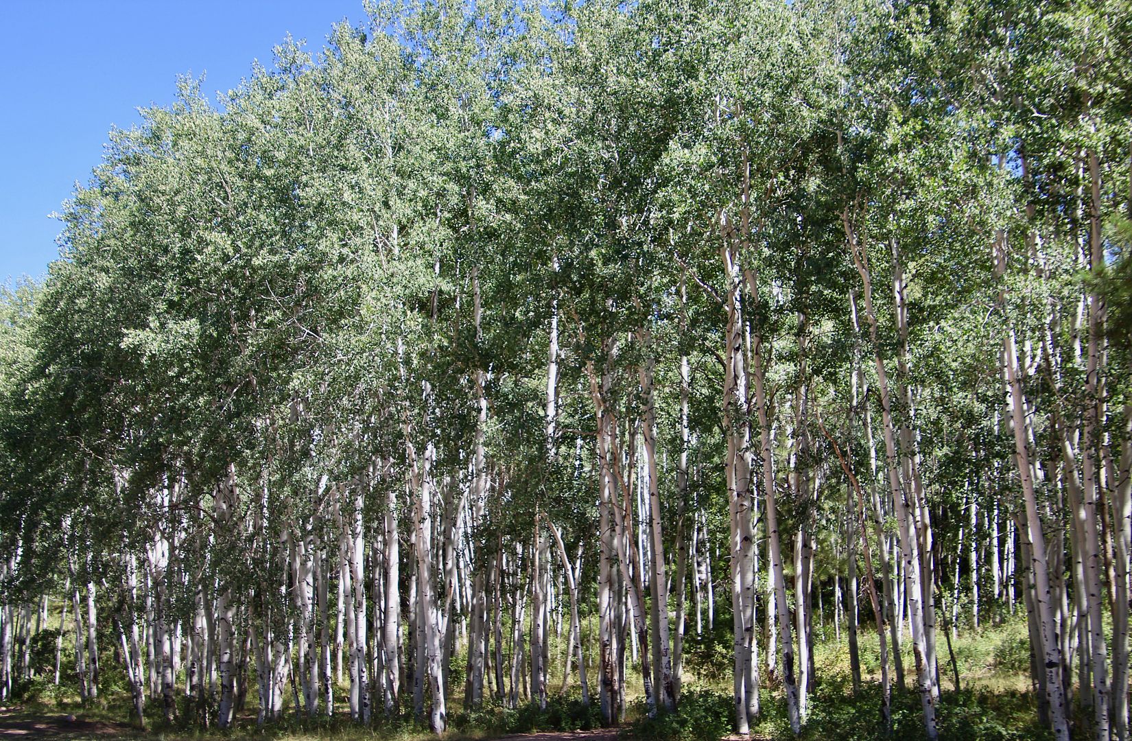
And, aspens (at Aspen Flats) as we reached a higher altitude. The road ascends to an elevation of 9,000’. The highest peak here is 11,000’.
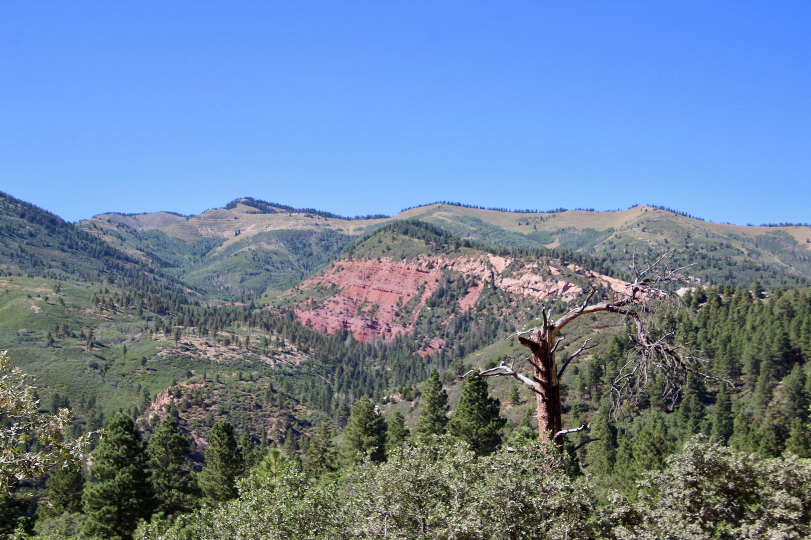
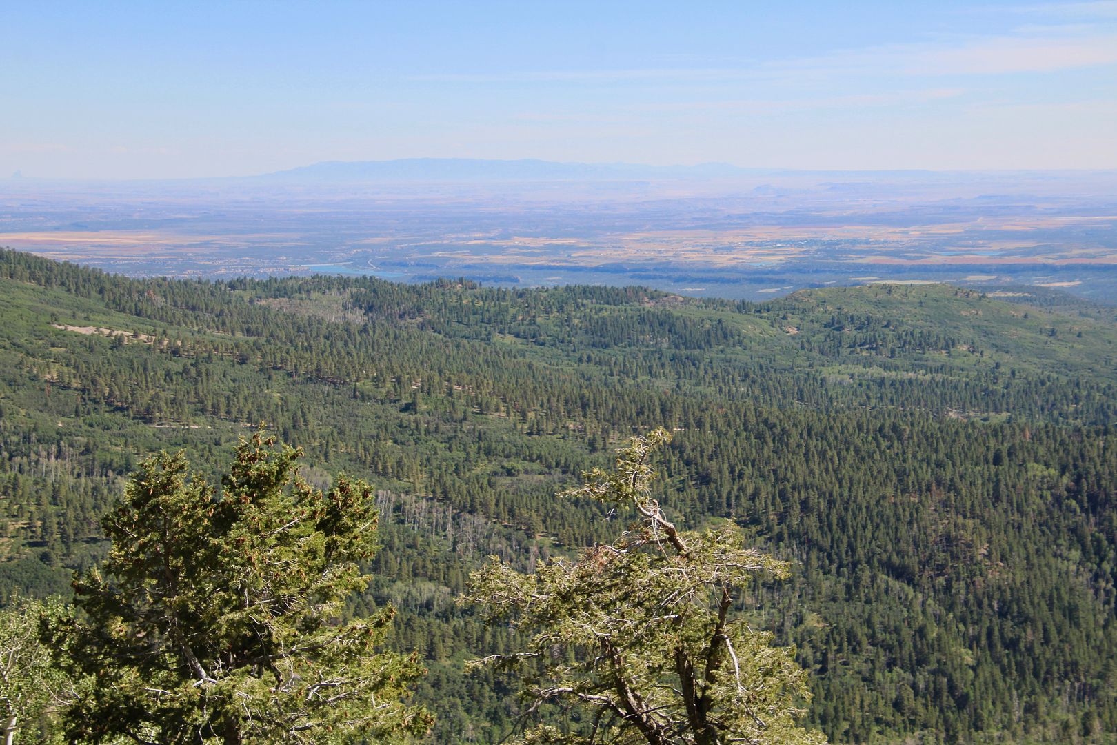
Canyonlands National Park can be seen in the far distance from this viewpoint.
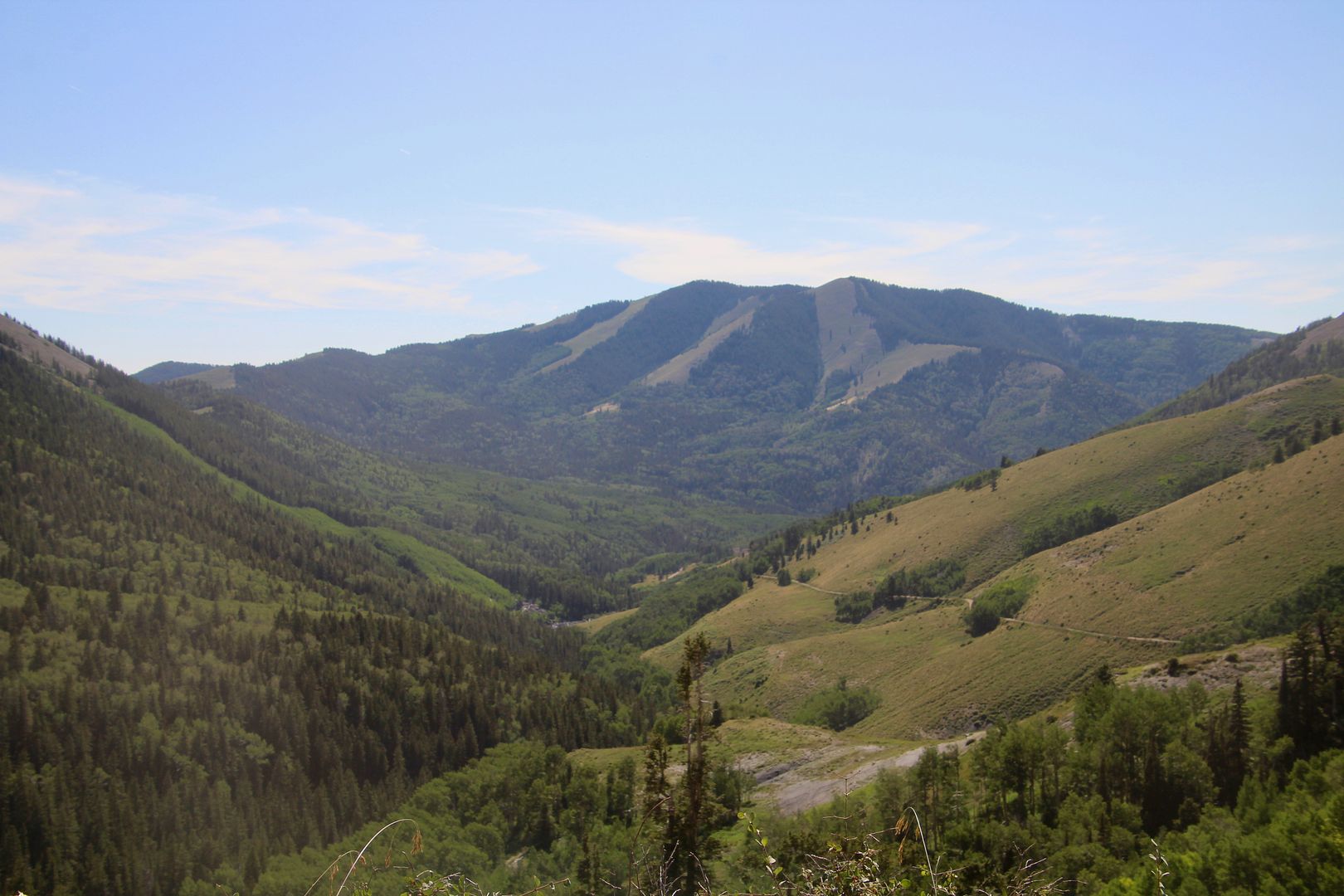
Our final stop on the scenic drive was to snap a photo of this beautiful valley near Monticello.
Hiking, mountain climbing, and cross-country skiing (in the winter) are popular activities here. This is the first time we were in the mountains of SE Utah and it was beautiful!
For additional information about the Abajo Loop Scenic Backway, go to www.fs.usda.gov/recarea/mantilasal/recarea/?recid=73228, or visit a local information center.
We will be in Bluff Utah in a few days for a week and may just have to check out this drive...
ReplyDelete