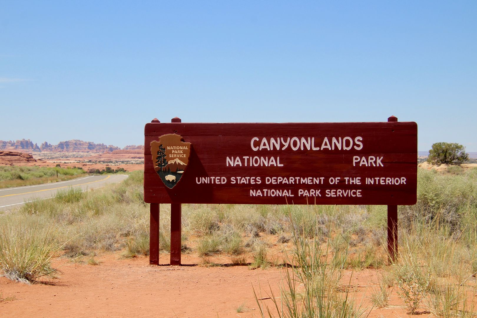
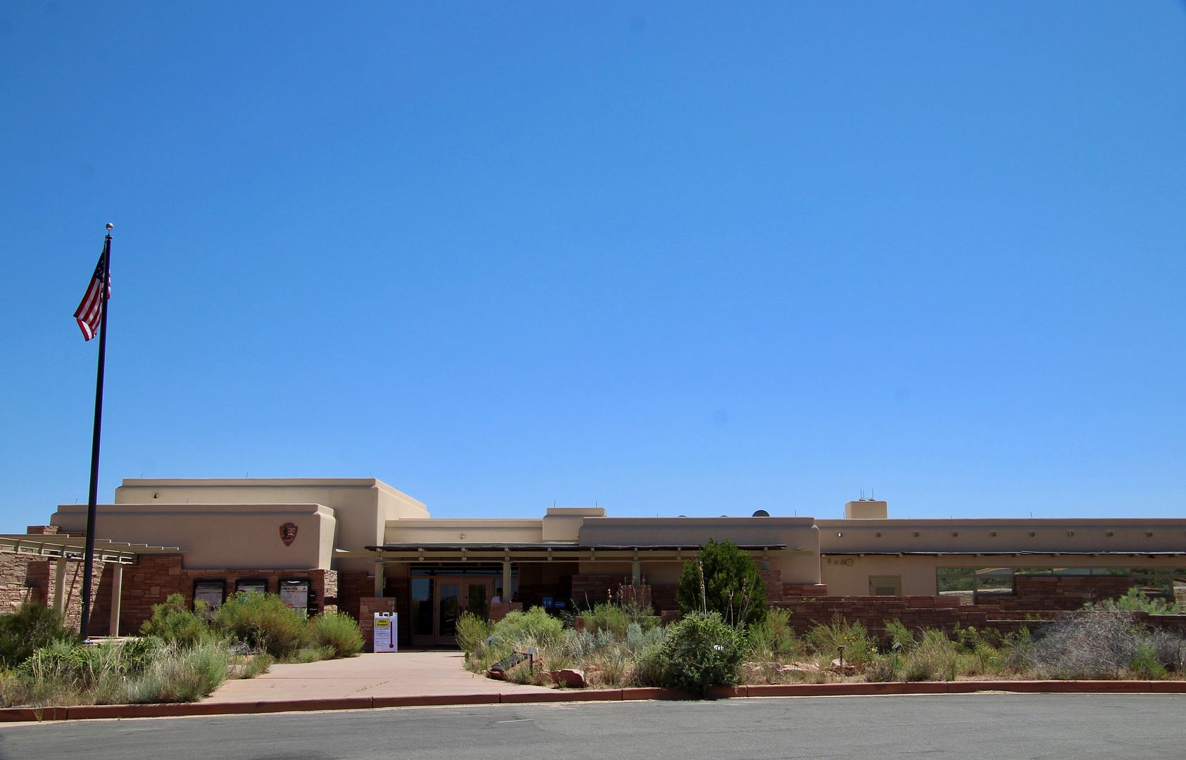
We had stayed in Moab in 2015 and visited here then, but the spectacular rock formations are always worth another look. We stopped at the Visitor Center to check out the exhibits and obtain a map of the area.
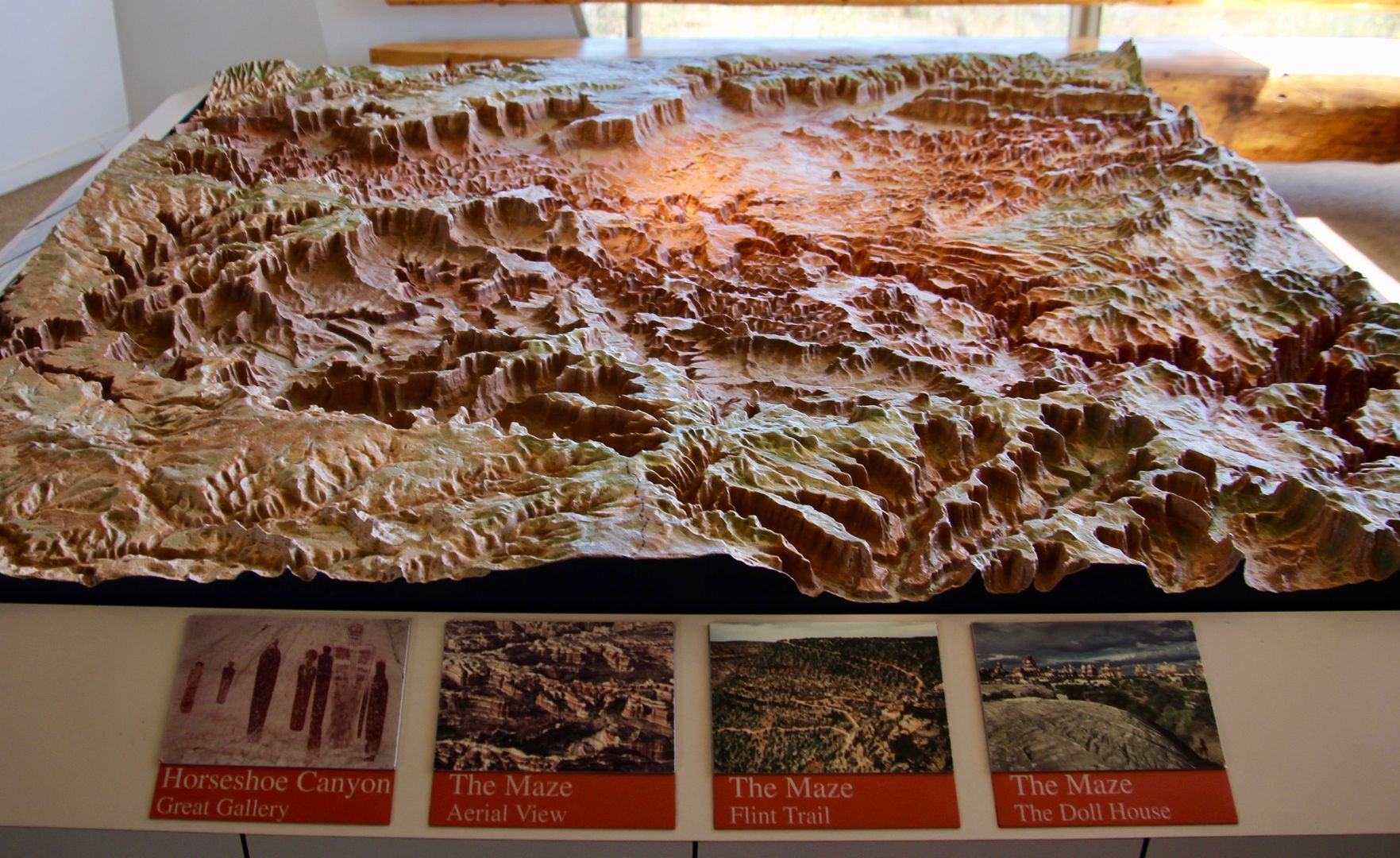
This topographical map shows the wilderness of rock on this portion of the Colorado Plateau. As a lover of maps, I always appreciate these displays!
Our first stop on the scenic drive was the Wooden Shoe Overlook. The first photo is taken from the overlook. Can you spot the Wooden Shoe? The second shot is a closeup. Wow, it really does look like a wooden shoe!
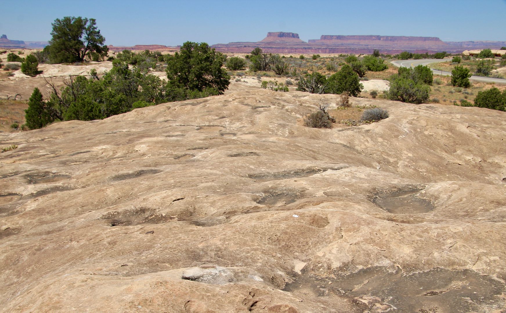
This is Pothole Point. Rainwater fills the holes in the rocks temporarily, but life teems in them until the water evaporates.
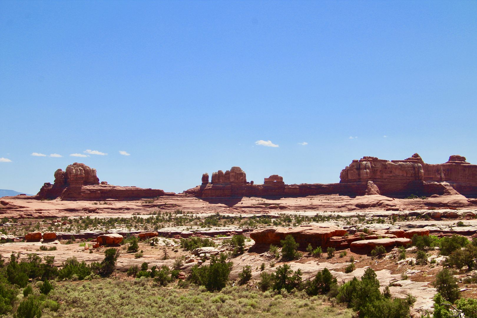
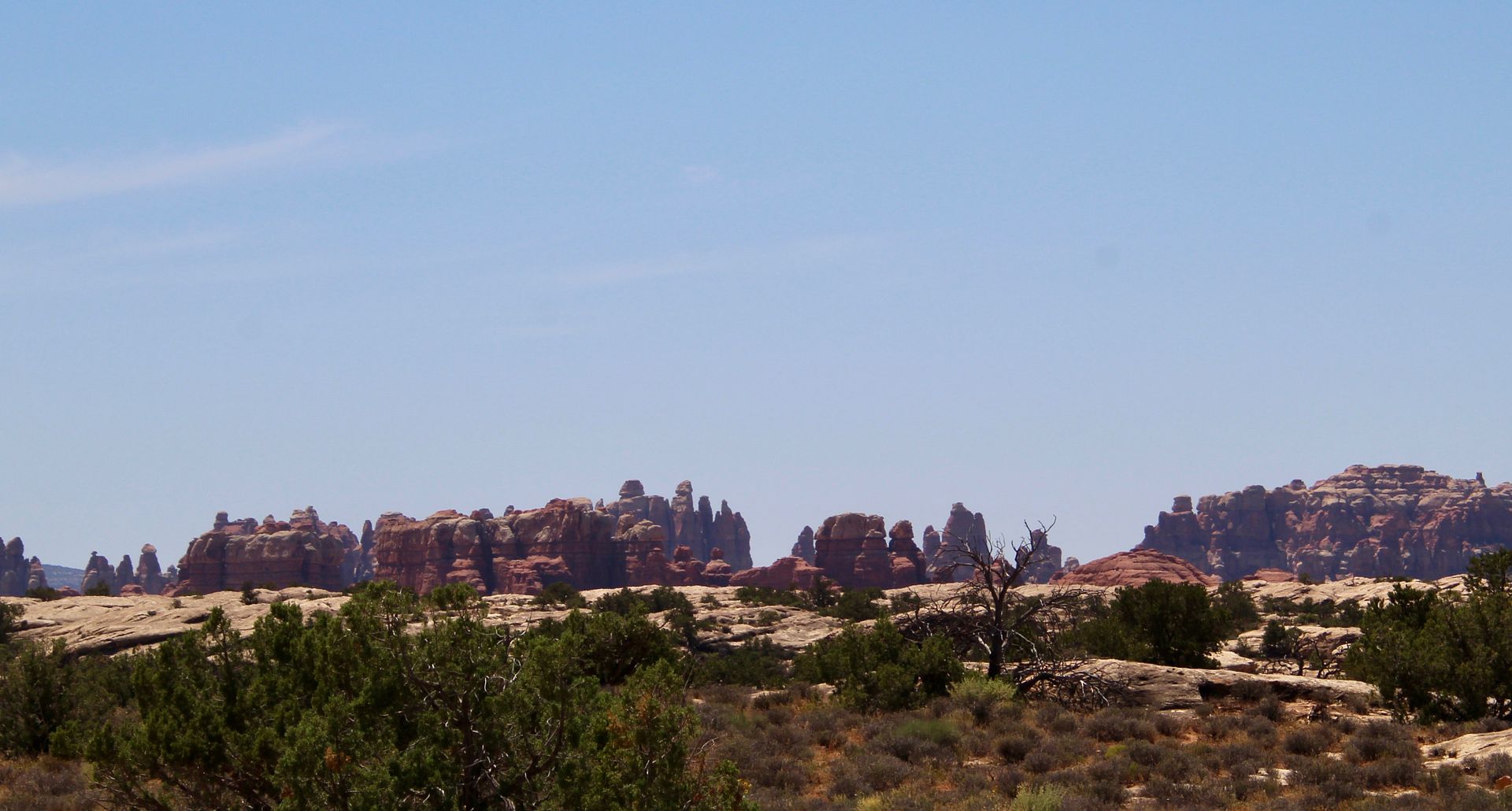
In the distance you can see some of the rock formations that gave the area its name.
We continued to the end of the paved road to Big Spring Canyon Overlook.
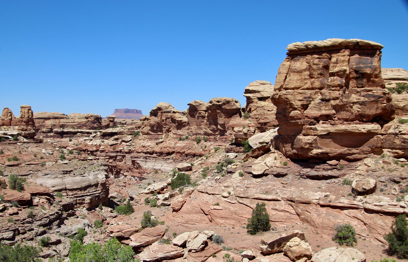
These huge rocks overlook the canyon. We walked around on the slickrock admiring the crazy jumble of rock formations.
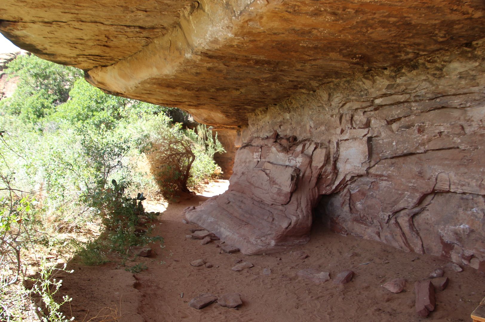
We began the return drive to the Visitor Center but decided to visit Cave Spring (a right turn from the park road) first. The trail here leads to a cowboy camp.
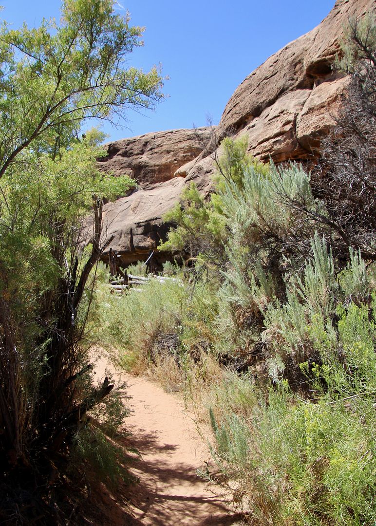
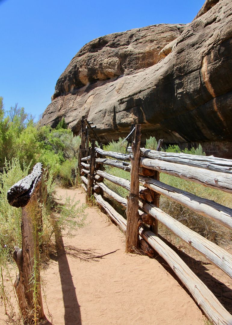
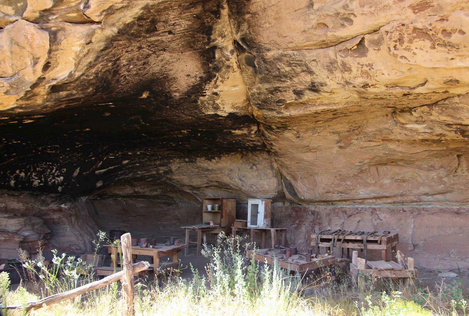
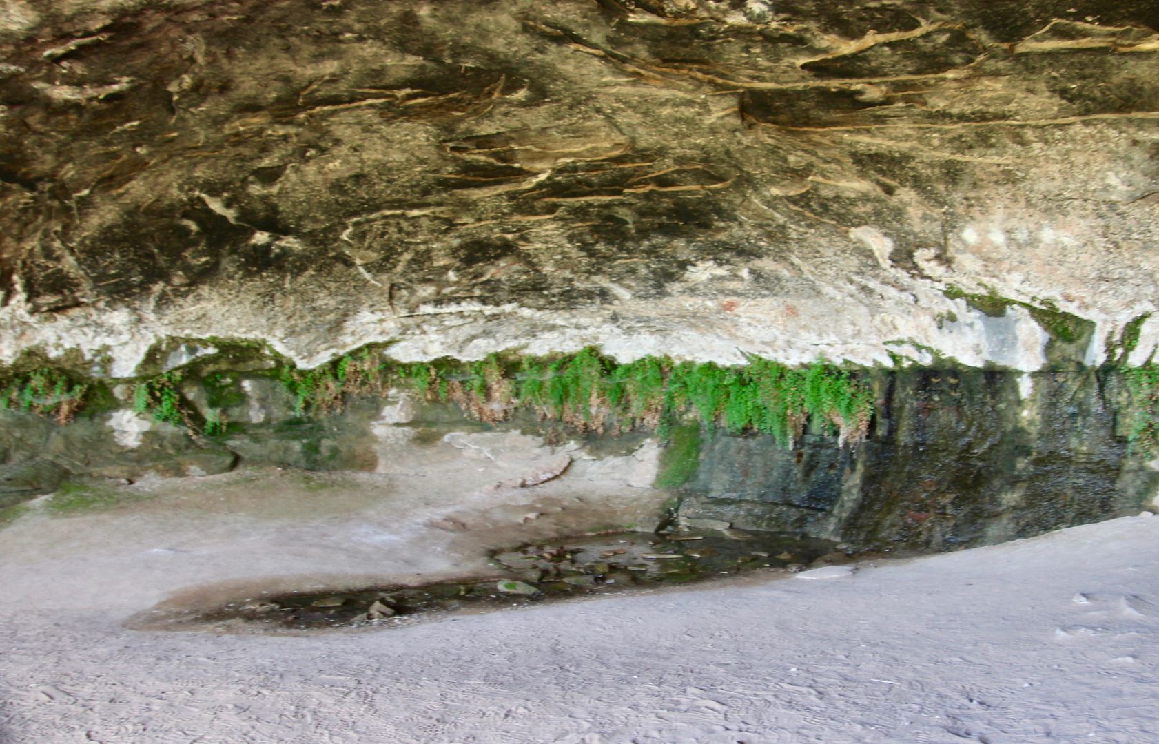
The spring near here provided a reliable water source for the camp, as it did for Native Americans (from 6,000 to 700 years ago). The trail continued under the ledge to a large area where the spring can still be seen.
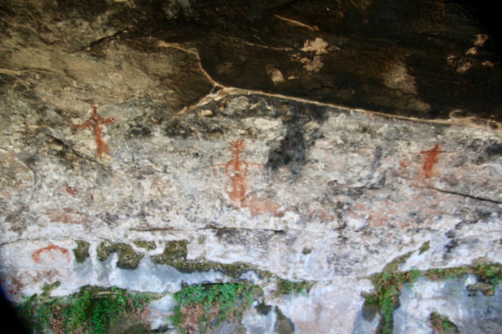
The bonus is the petroglyphs near the spring.
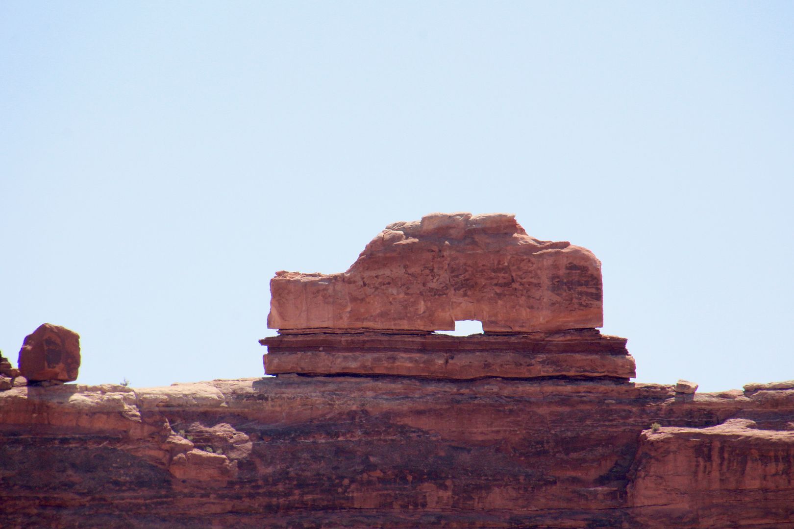
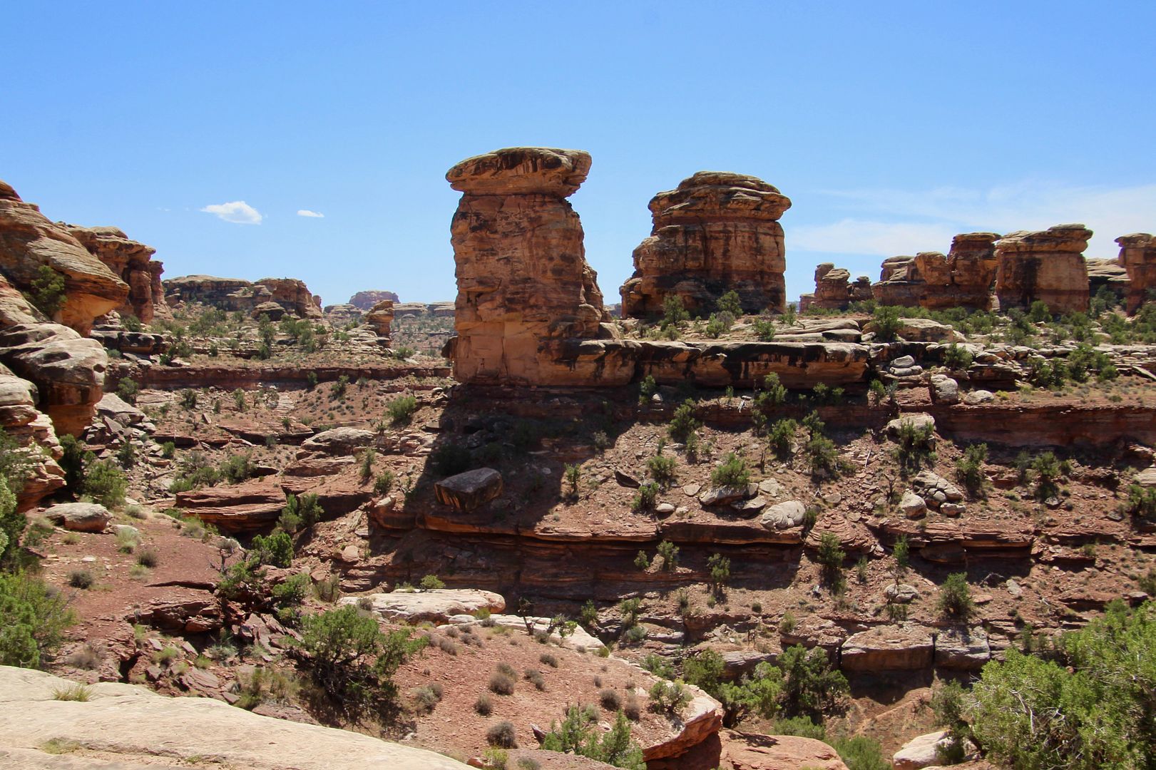
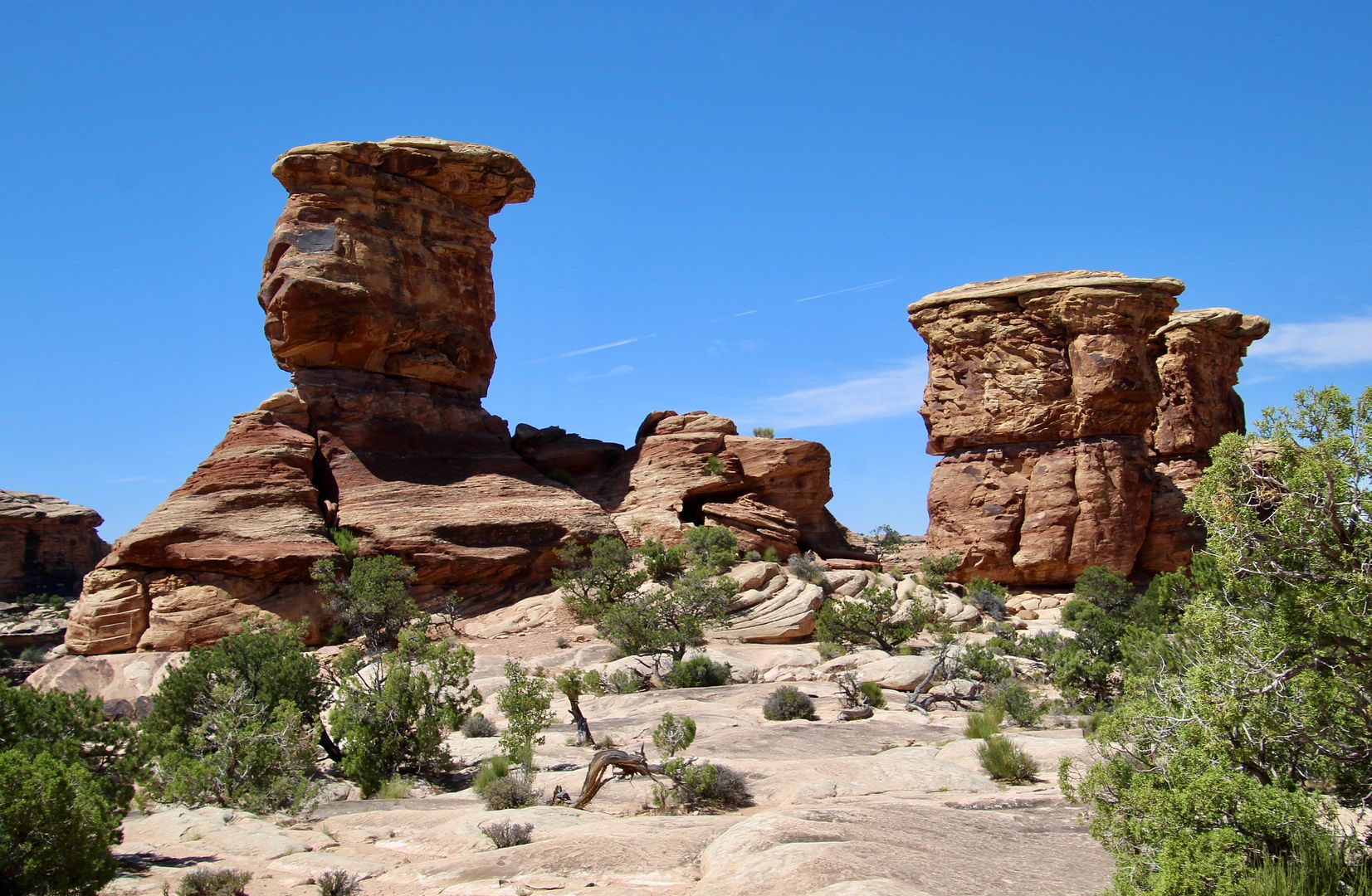
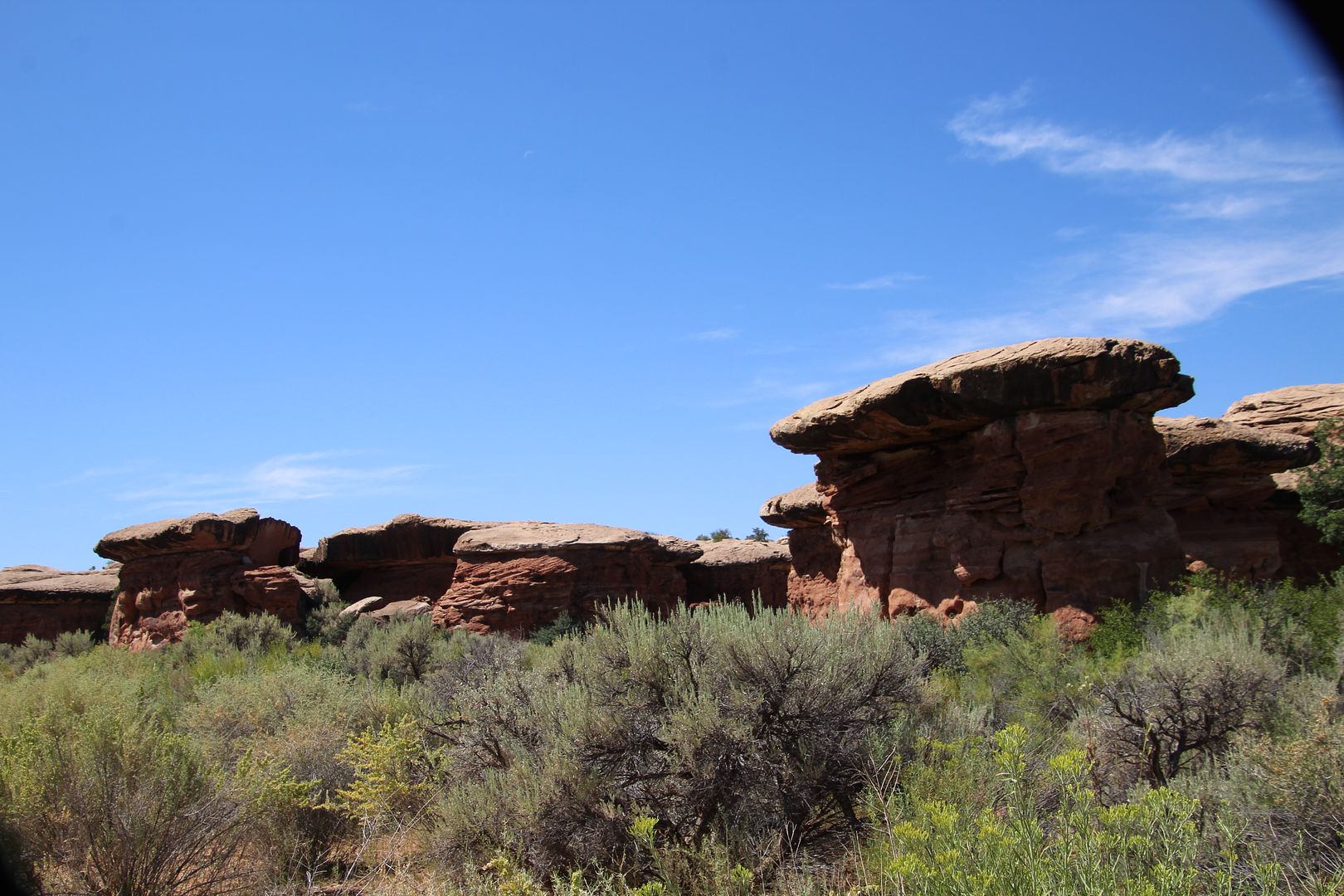
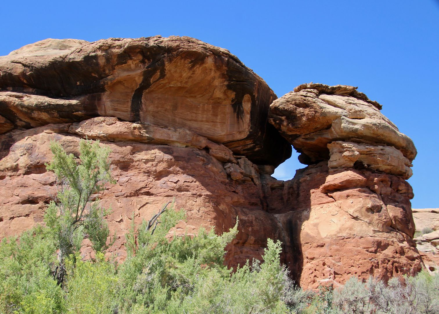
We did not continue the entire loop trail as we had done this on our previous visit. Hopping back in the car, we passed these crazy “mushroom rocks.” And, we saw many “windows” in this area, too.
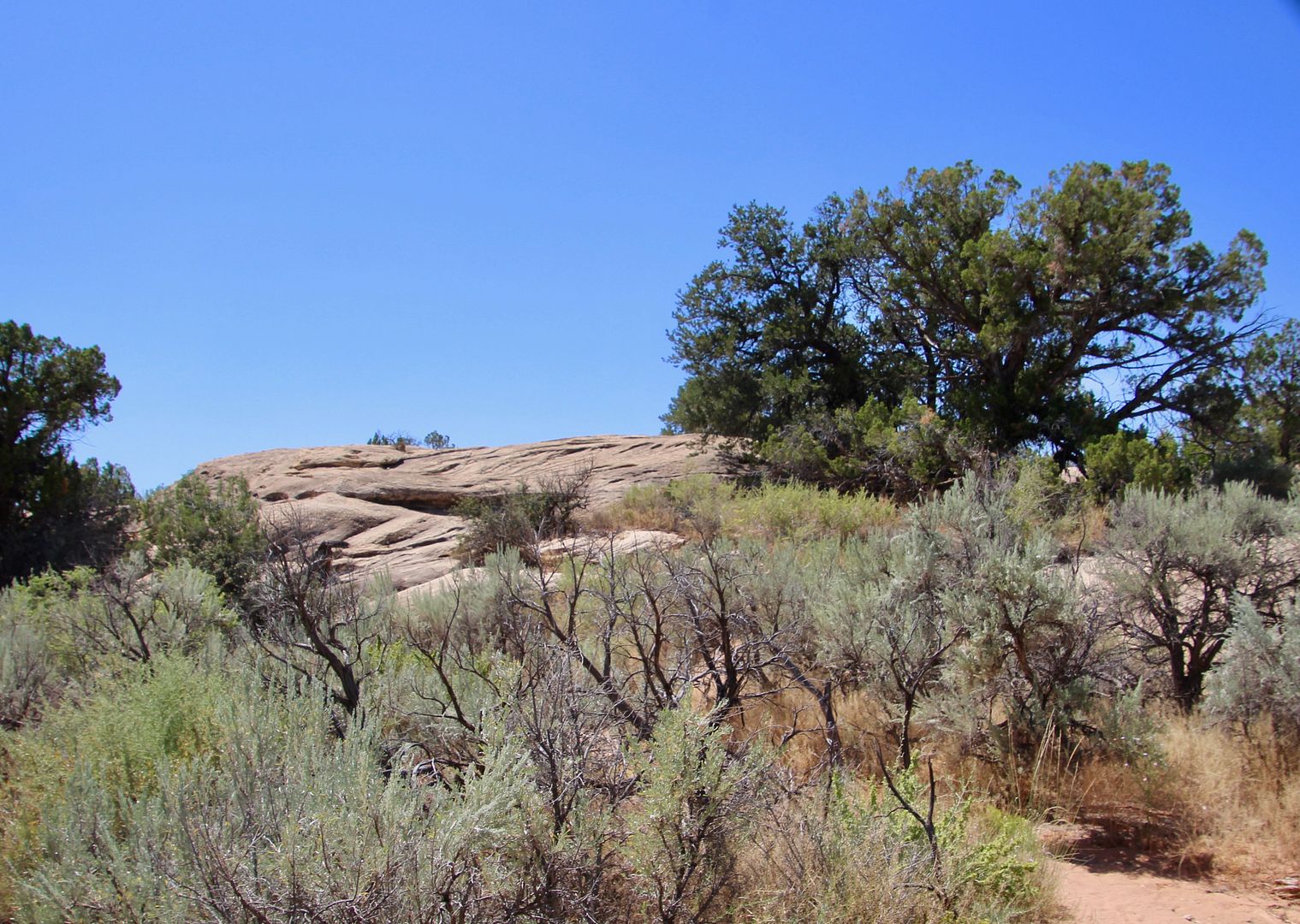
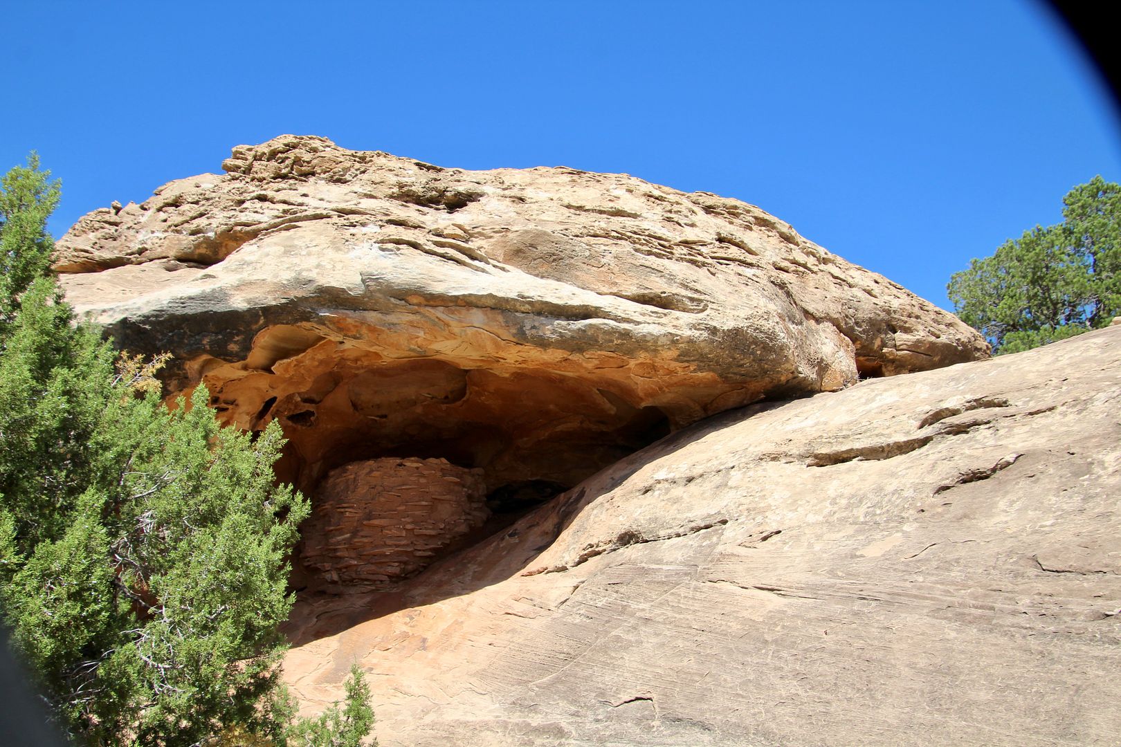
Stopping at the Roadside Ruins site, it was a quick .3-mile loop trail to see a granary. Built by Ancestral Puebloans of the nearby Salt Creek area, it was used to store seeds, roots, etc. The path is well marked through desert vegetation and slickrock.
You can see the well-preserved structure tucked in beneath a ledge.
There is so much more you can see and do in Canyonlands. With many unpaved, 4-wheel drive roads, many visitors venture out to remote parts of the park. All five of the Utah National Parks are spectacular, including this one.
It was about 48 miles back to Monticello from the Needles District, but with very little traffic it was a lovely drive. (I used to drive 48 miles each way to work in very heavy traffic, so nothing in this part of the country compares!)
For additional information about Canyonlands National Park, go to www.nps.gov/cany. And if you are in the area, you should plan on visiting nearby Arches National Park as well (near Moab).
No comments:
Post a Comment