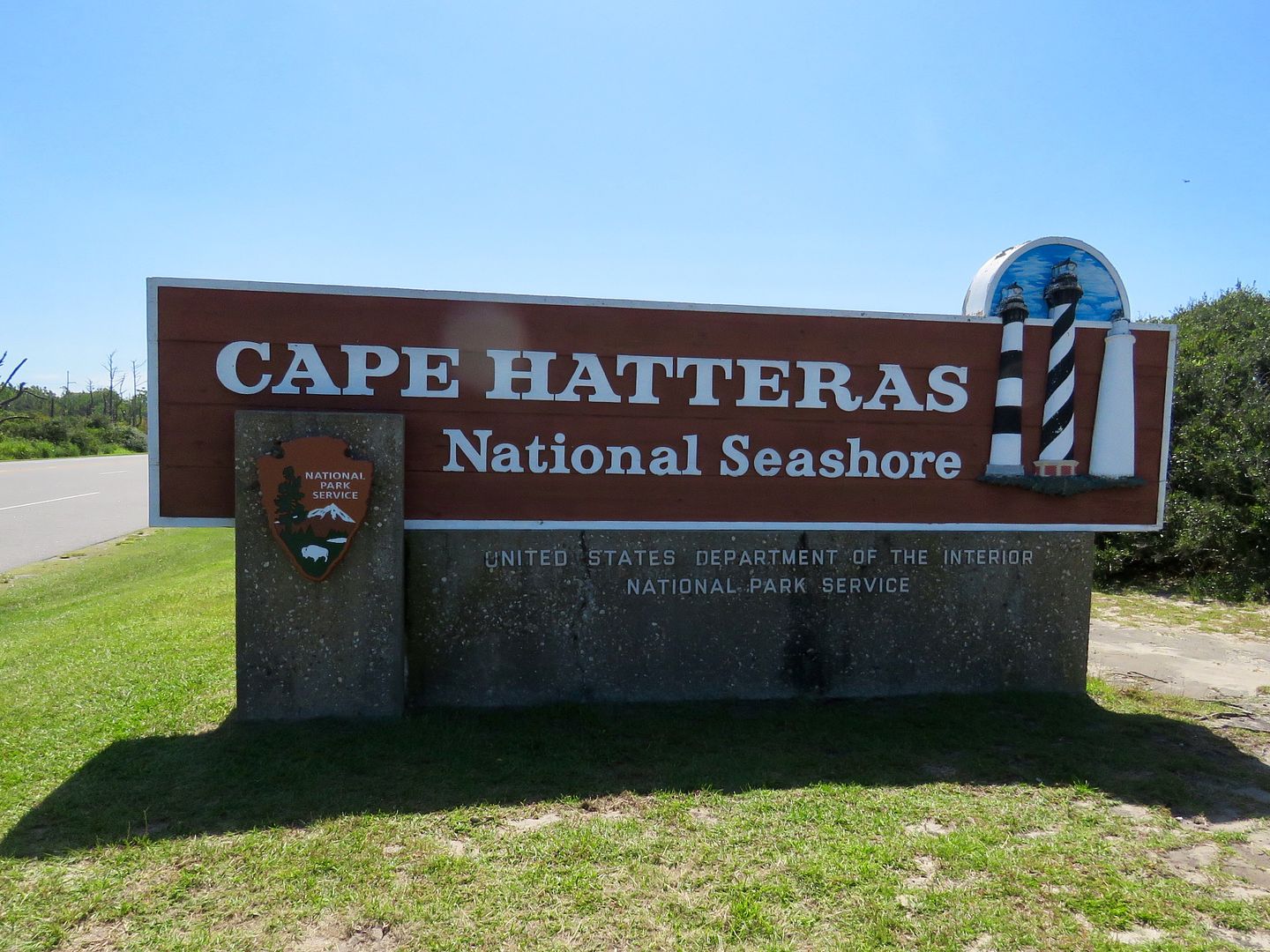
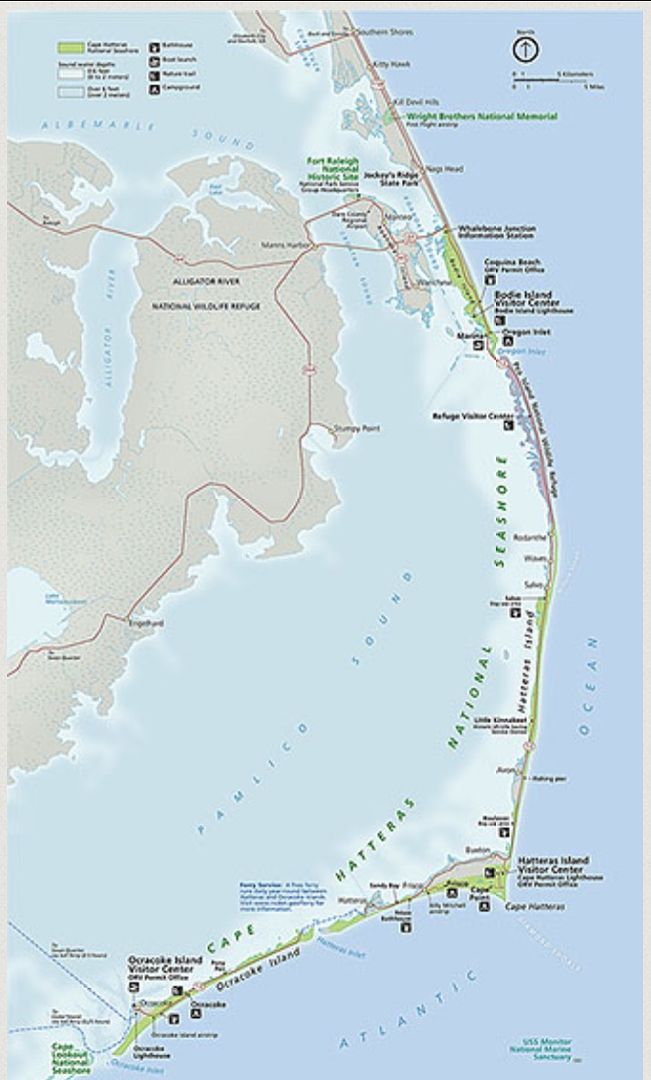
Cape Hatteras is comprised of three islands (Brodie, Hatteras, and Ocracoke) that stretch north to south along the coast of North Carolina.
Our first stop was the Whalebone Junction Information Center where we picked up a brochure and National Park Service paper.
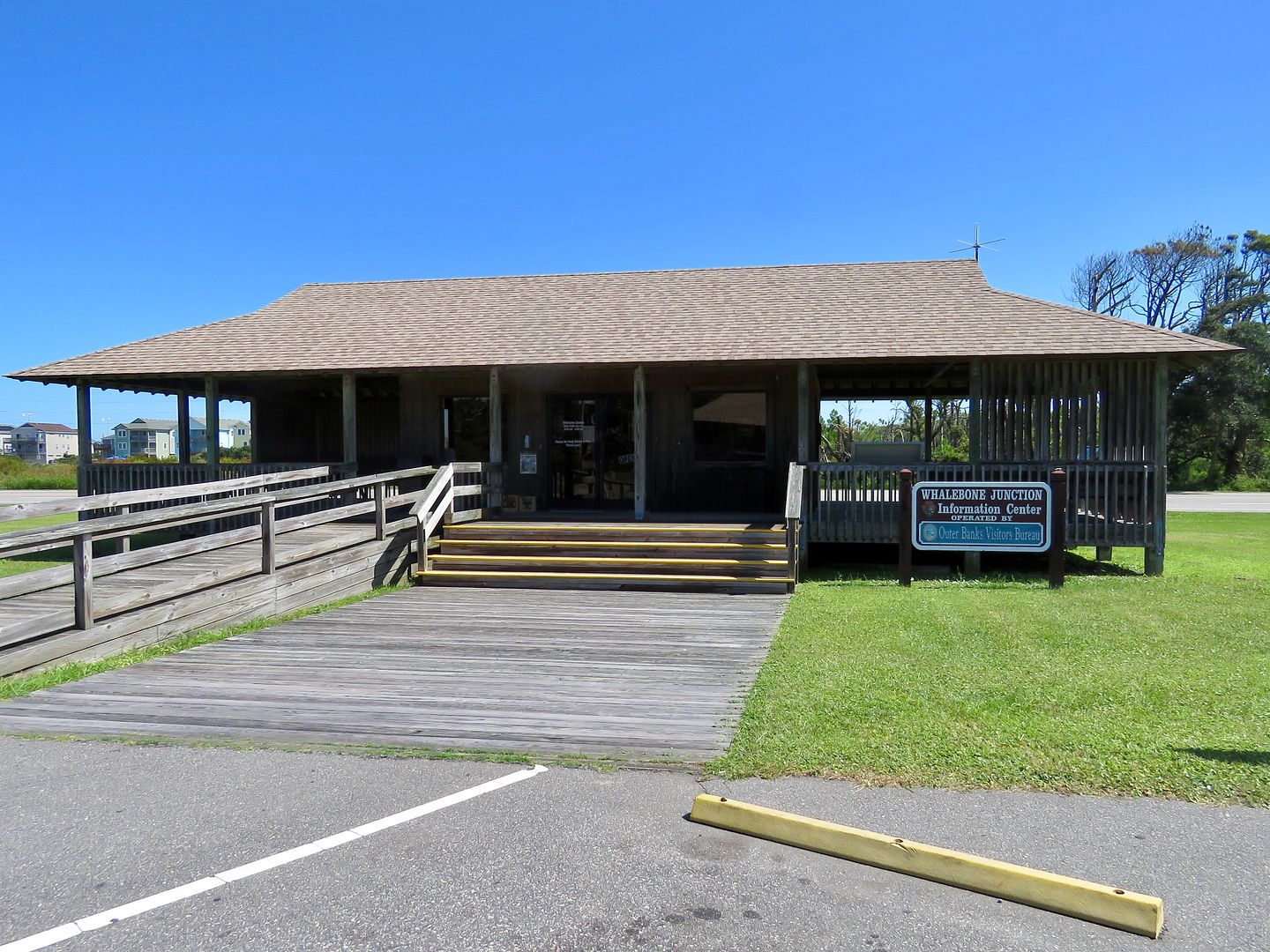
Both have information and maps for visiting the National Seashore.
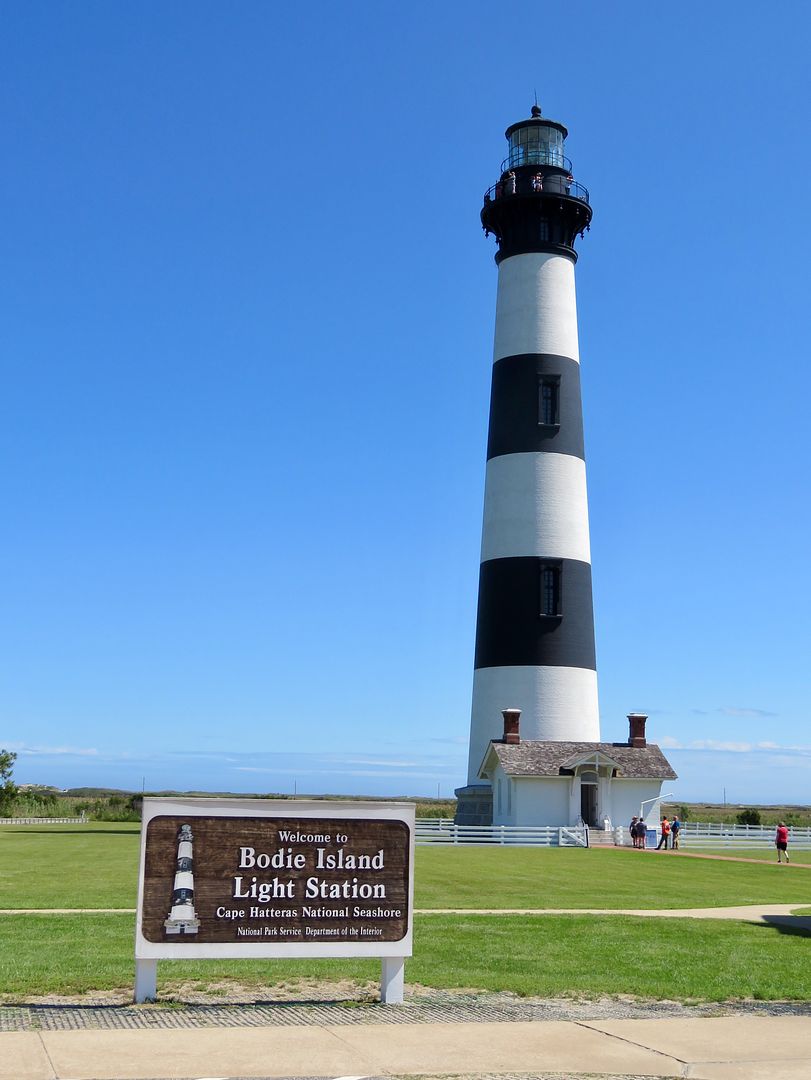
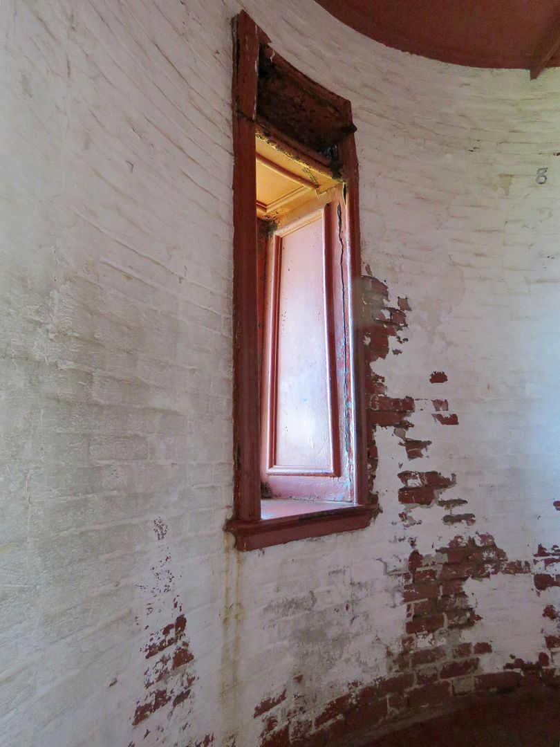
There are three lighthouses at the National Seashore: Bodie Island, Cape Hatteras, and Ocracoke Island. Below are pictures of the Bodie Island Lighthouse. The light-keeper's house is now a gift shop and the location to purchase tickets to climb the lighthouse.
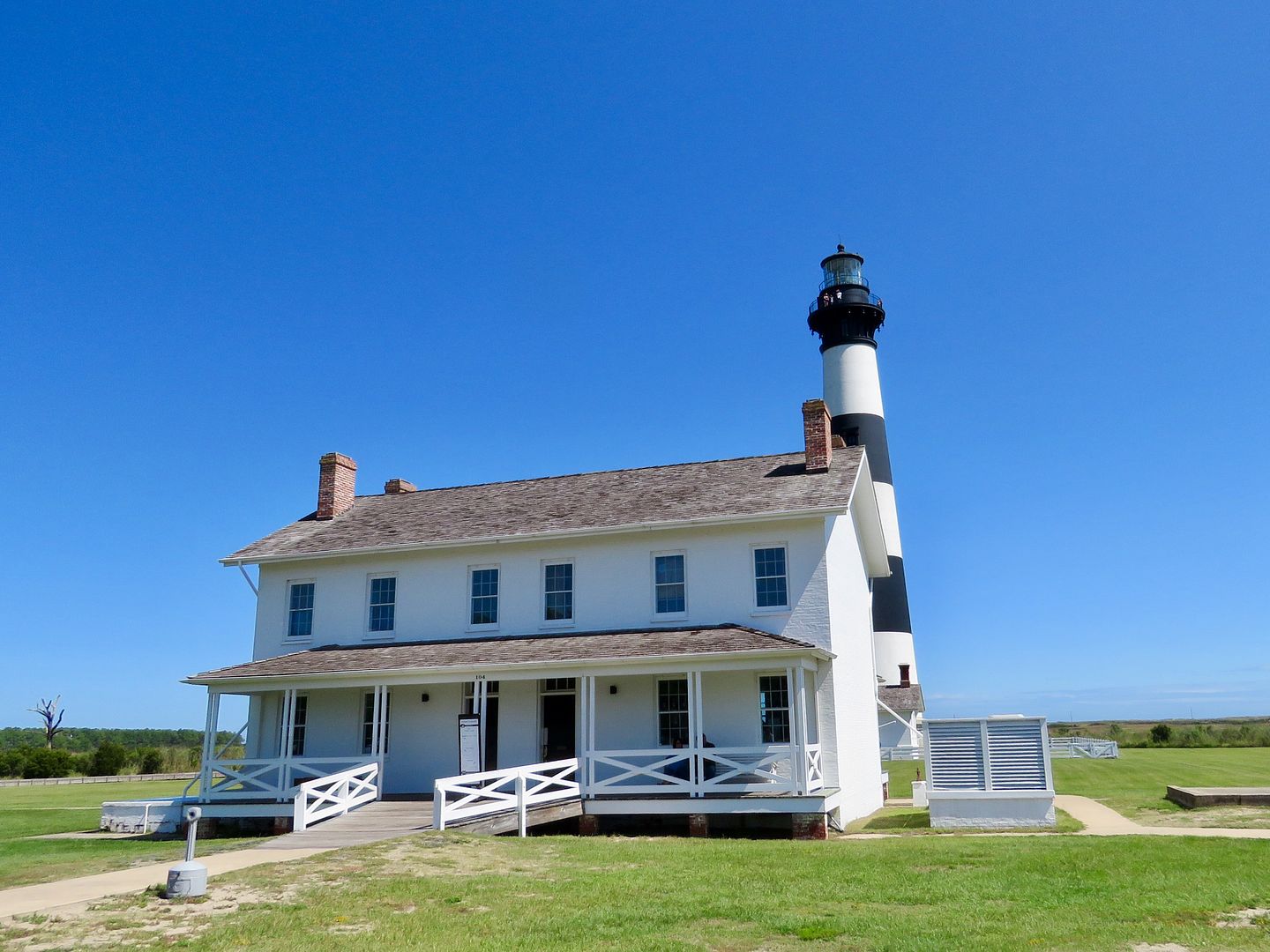
Tickets are $10/adults and $5/seniors, children 11 and under. The minimum height requirement to climb is 42" and maximum weight is 260 pounds. Climbs occur every 30 minutes in the summer. Built in 1872, the Brodie Island Lighthouse still has its original first order Fresnel lens.

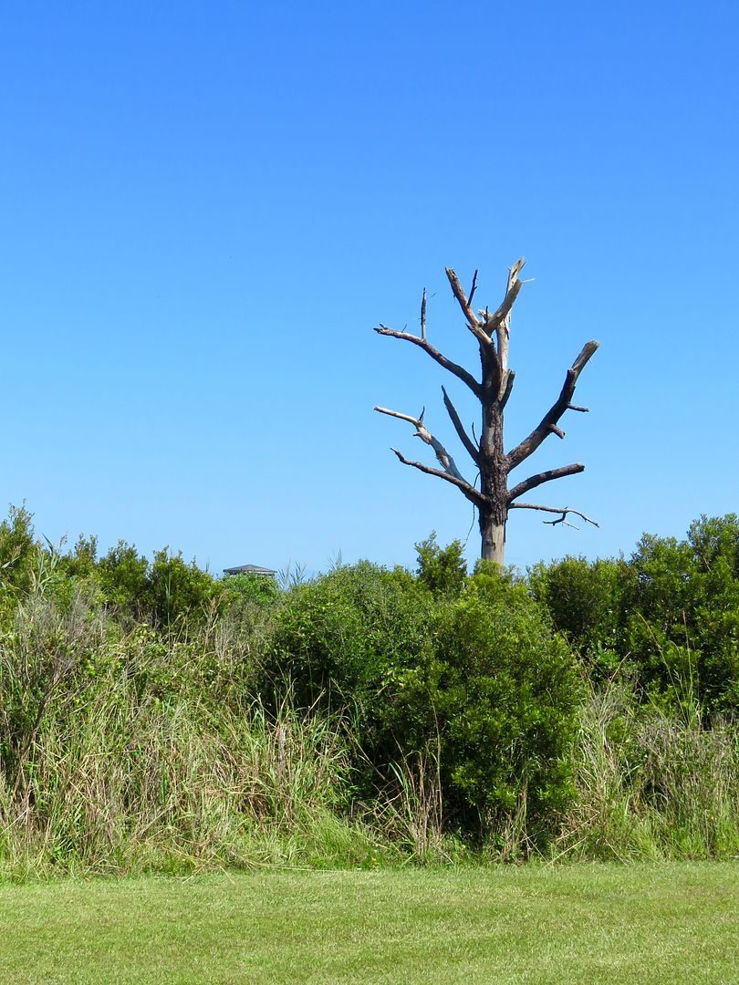
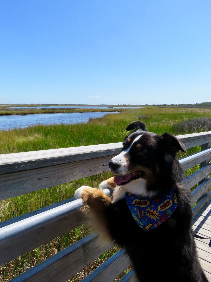
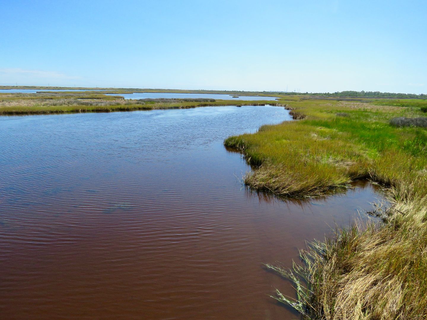
There is also a boardwalk and platform for viewing wildlife in the island marshes next to the lighthouse.

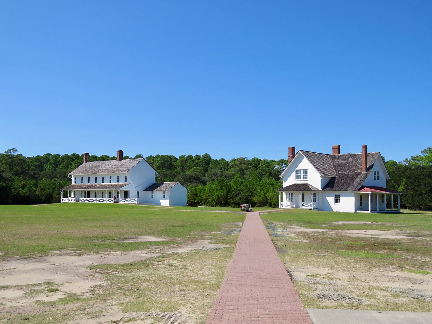
The Cape Hatteras Island Visitor Center and Museum was our next stop. It is located in the Double Keepers' Quarters (built in 1854). Next door (right) is the Principal Keeper Quarters (1871).
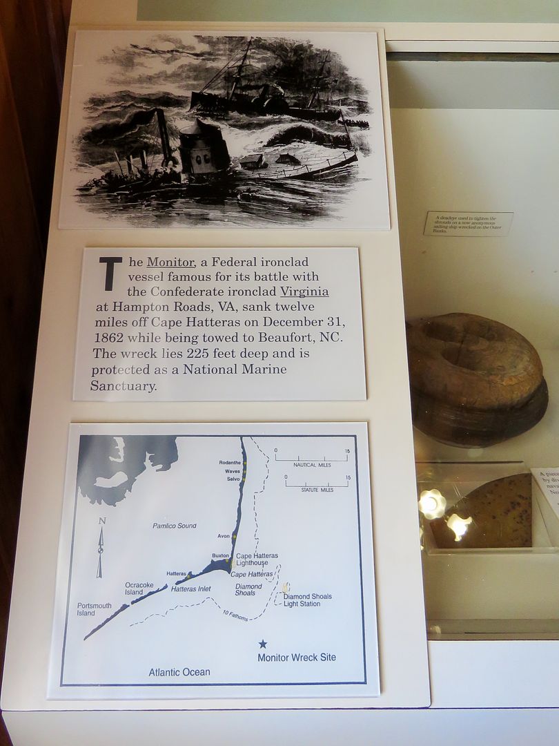
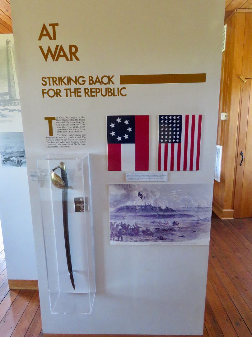
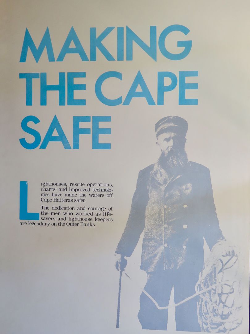
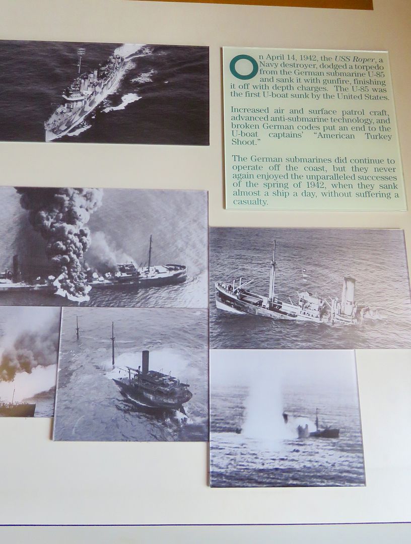
Exhibits provide historical information about Cape Hatteras. Below are a few of them:
- The Monitor sank 12 miles off of Cape Hatteras on December 31, 1862. It lies 225' deep and is now a marine sanctuary.
- During the Civil War, the Confederates lost control of the Pamlico and Albemarle Sounds to the Union forces, threatening North Carolina.
- The courageous lighthouse keepers and life-saving crews on the Outer Banks are legendary.
- During WWII, the USS Roper dodged a torpedo fired by U-85, a German U-boat. The Roper subsequently sank it off the coast of the Outer Banks, the first U-boat sunk by the US during the war.
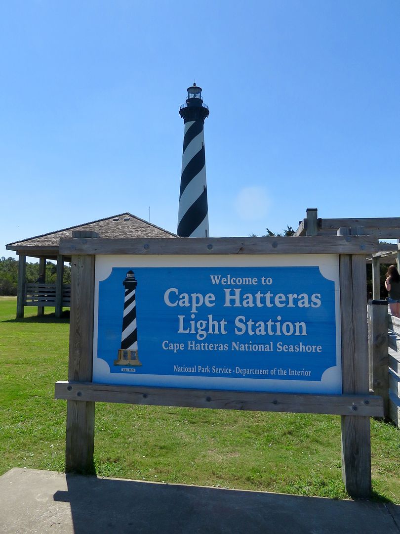
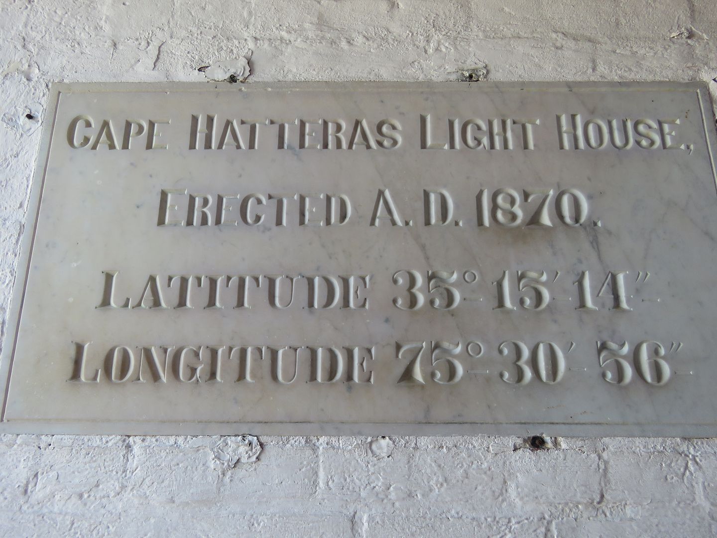
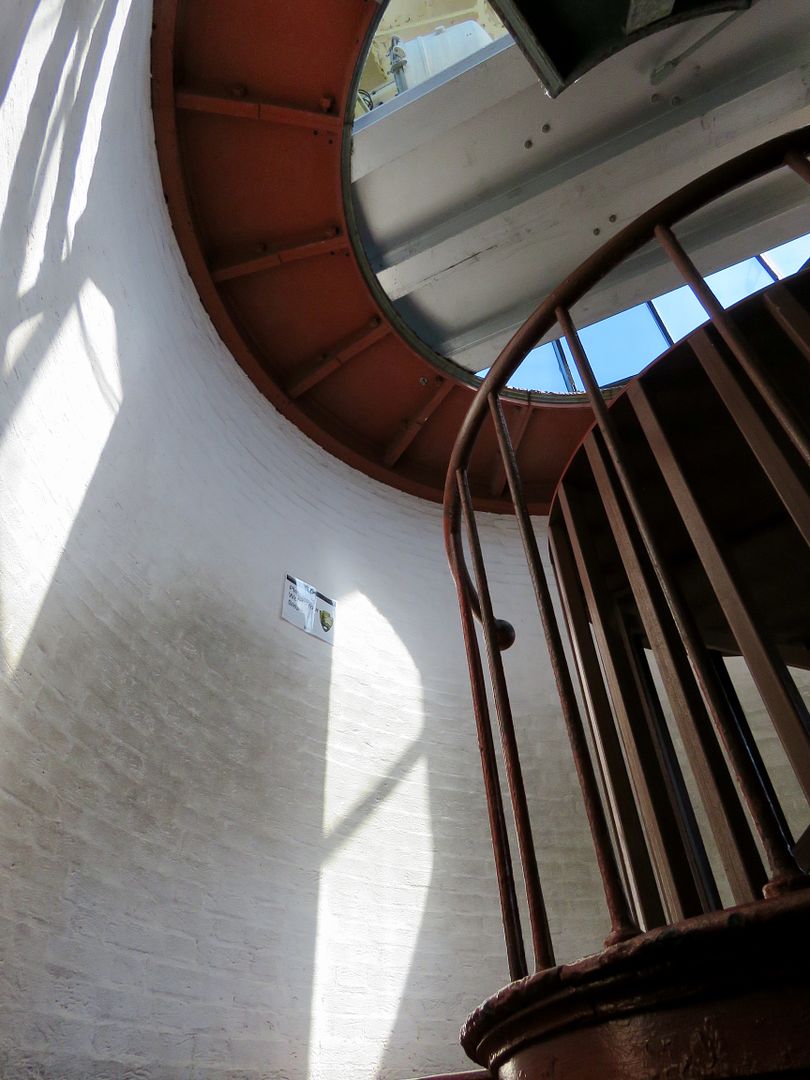
Located here, is the Cape Hatteras Lighthouse (also open for climbing in the summer). Built in 1870, it is the second tallest brick lighthouse in the world at 210' (a park ranger told me the tallest one is in Poland).

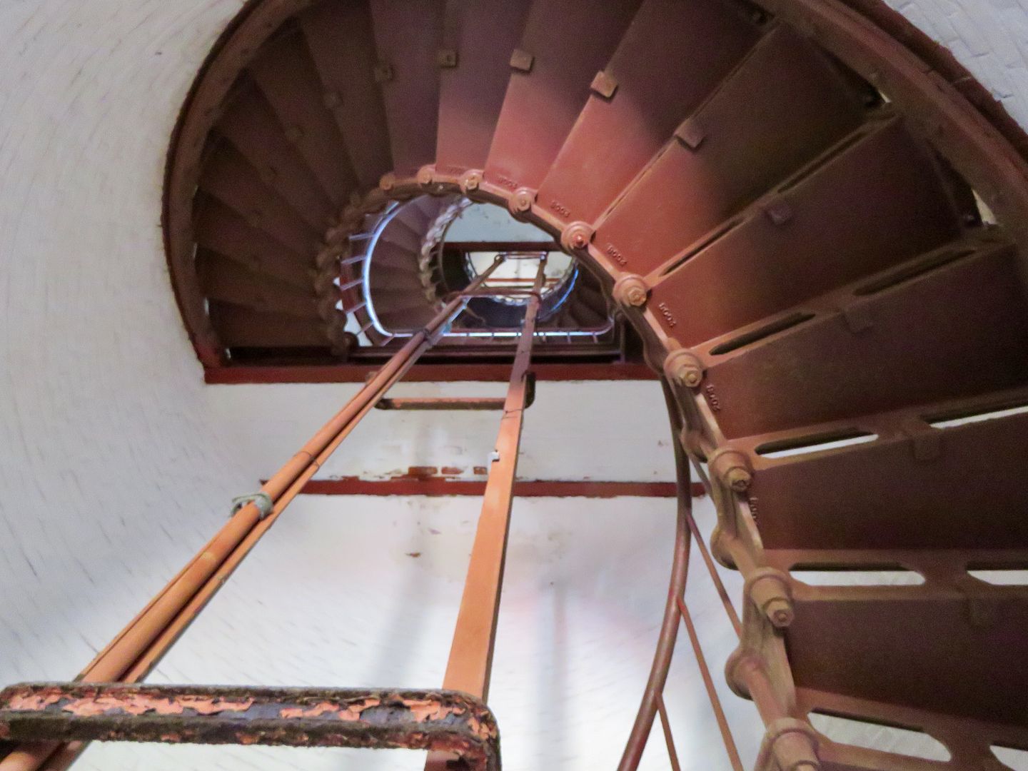
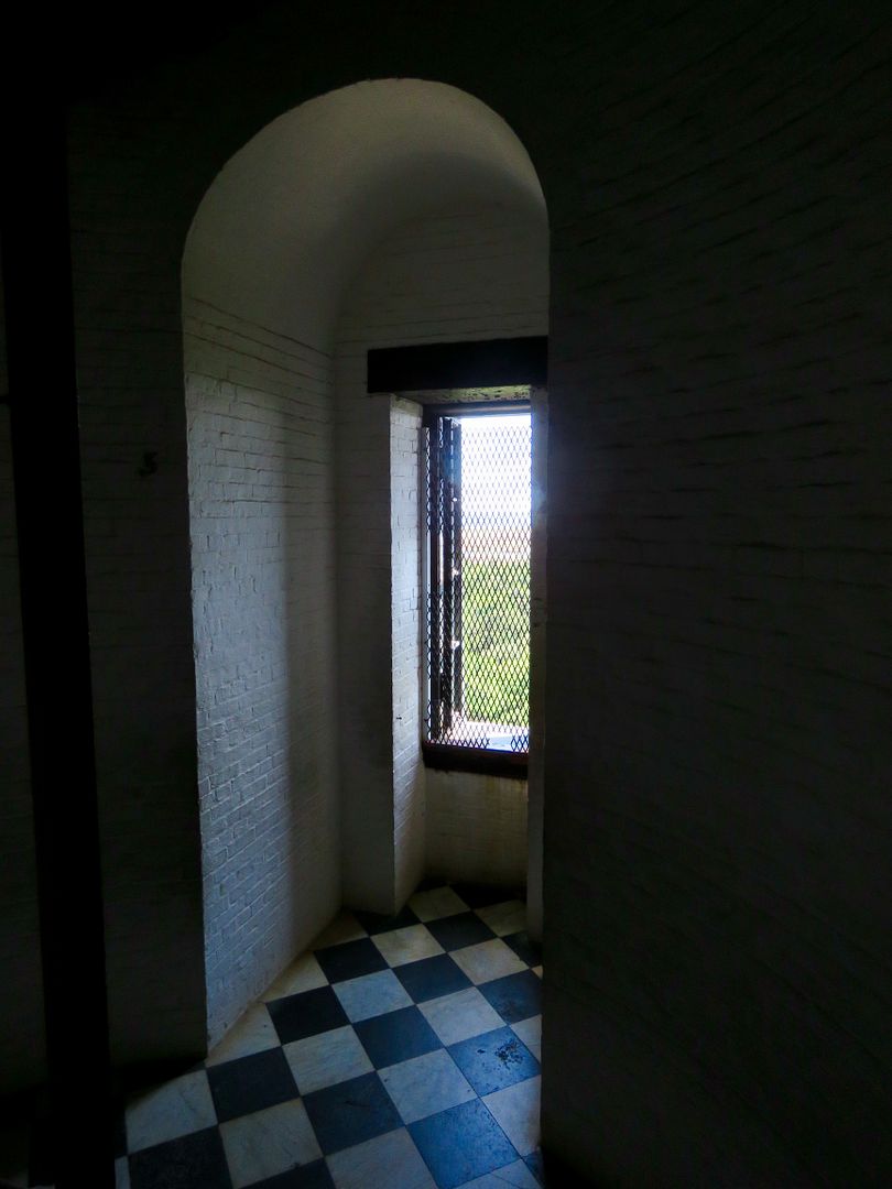
John stayed with Sadie and I climbed the lighthouse ($6/senior). There is a 248-step spiral staircase (equivalent to a 12-story building).
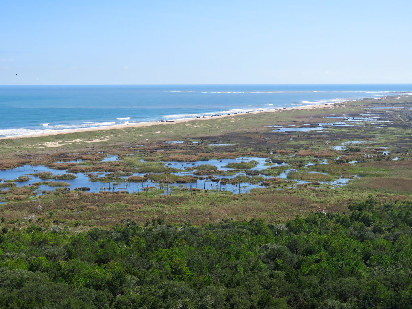
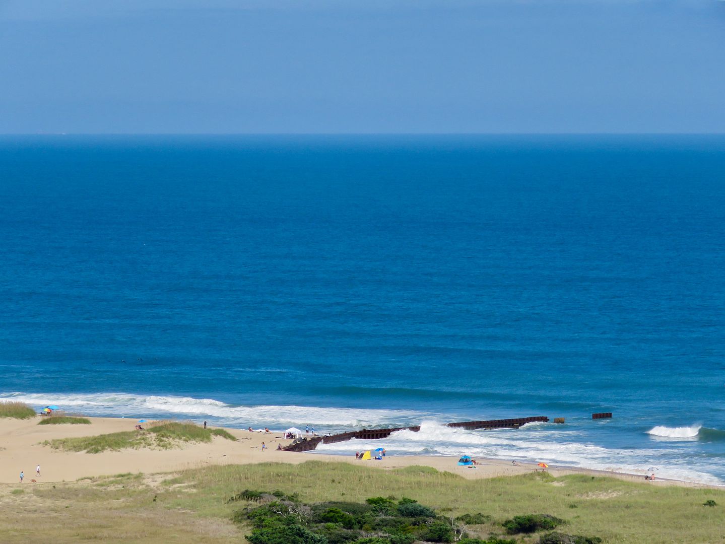
The photo below is a view to the south of Cape Hatteras itself and the treacherous Diamond Shoals, where shifting sand ridges caused shipwrecks for centuries. Over 600 vessels have sunk in the waters off of the Outer Banks earning the nickname the "graveyard of the Atlantic." Storms still uncover old wrecks along the shores here, but improved technology on ships has dramatically improved safety here.
A view to the north shows how narrow the strip of land is on this part of Hatteras Island.
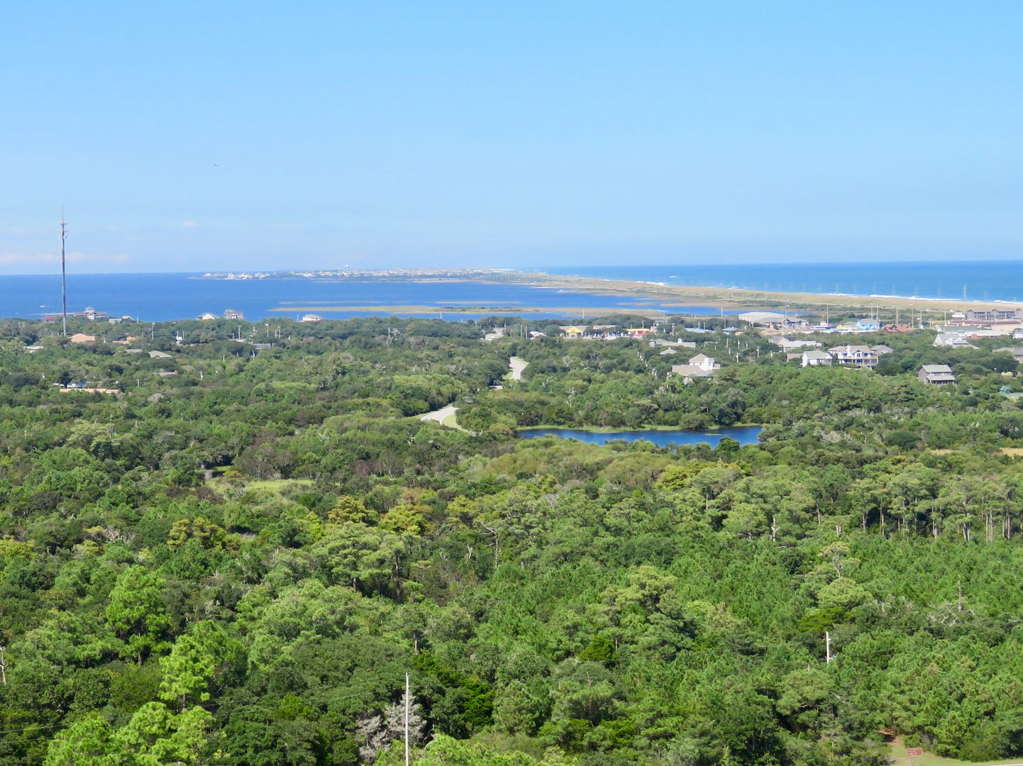
In 1999, the keeper houses and lighthouse were moved 2,900' inland due to the encroaching sea. The lighthouse was just 15' from the ocean at that time and was in imminent danger. The sandy patch to the left in the photo below is where the Cape Hatteras Lighthouse was previously located.
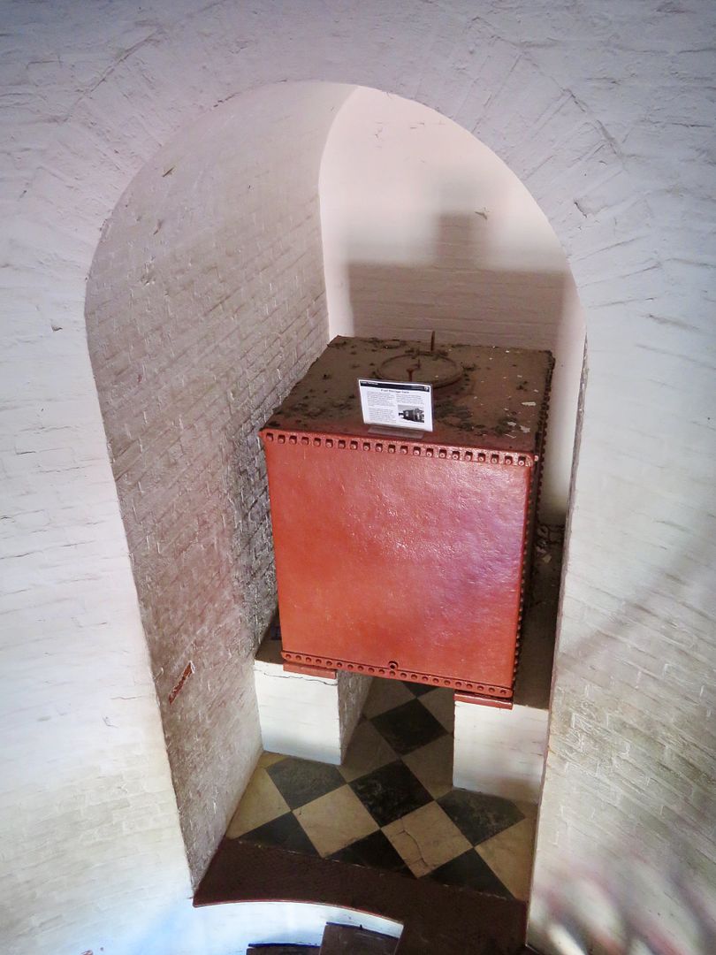
Needless to say, the walk down was a lot easier that the one up the stairs. At the bottom is an alcove where a fuel tank stored 300 gallons of kerosene (that had replace whale oil in the 1800s). There was plenty of additional kerosene stored in the oil house near the lighthouse as well. Each morning, the keeper would fill a 5-gallon container (weighing 35-40 pounds) with kerosene and climb the steps to the top.

The Buxton Woods Nature Trail can also be found here. We did not hike it because it was so darn hot (and we were here in September!)
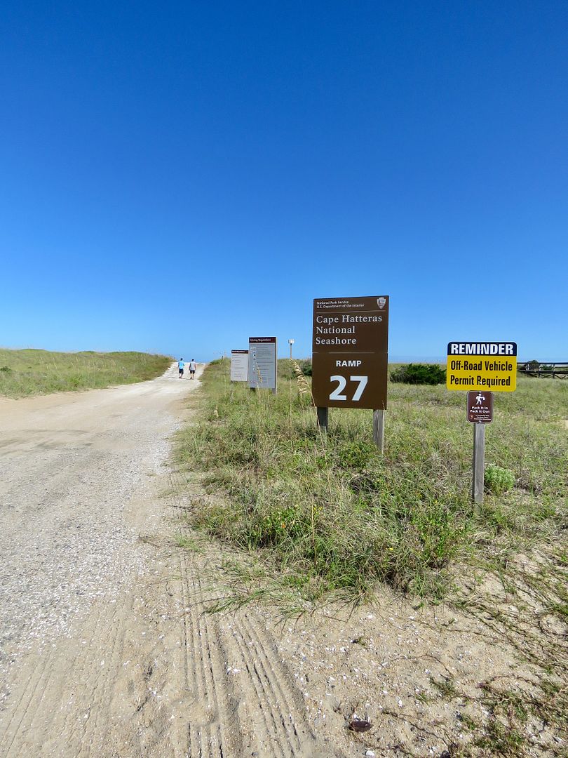
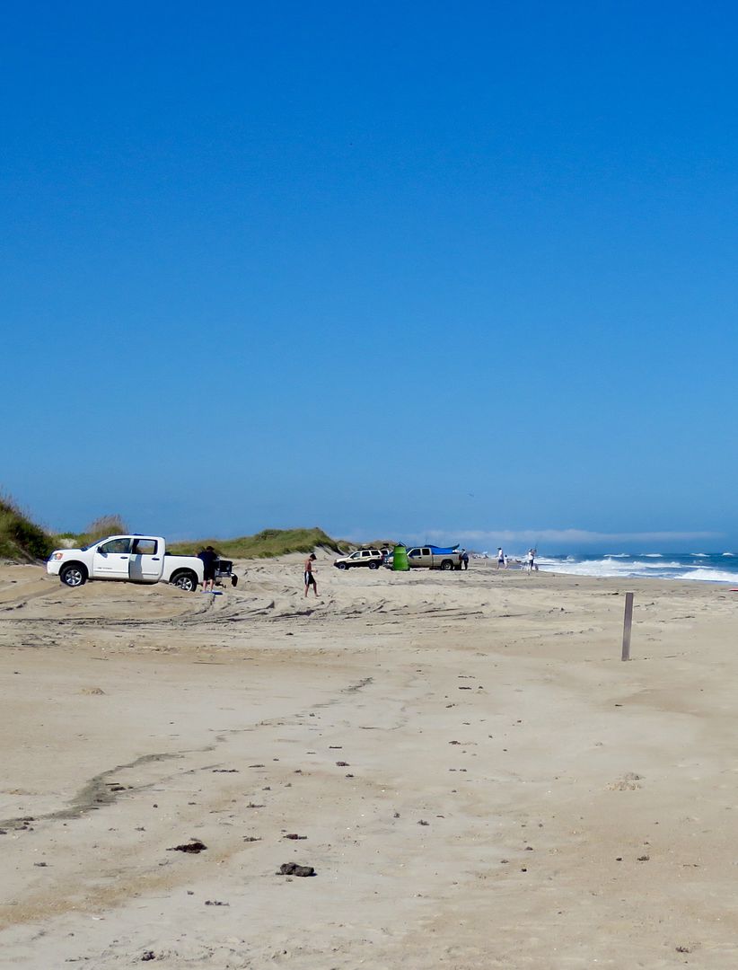
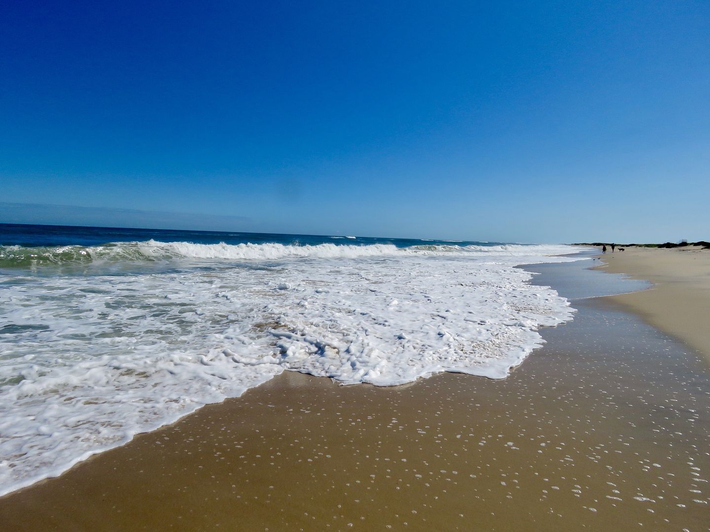
Permits for off-road vehicles are available at the Cape Hatteras Seashore visitor centers. There are multiple beach access points all along the seashore. We stopped at this one (#27) for a walk on the beach.
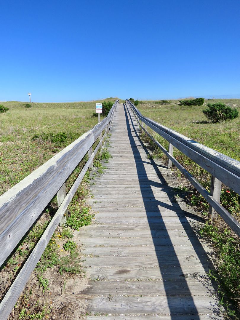
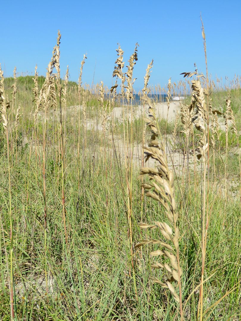
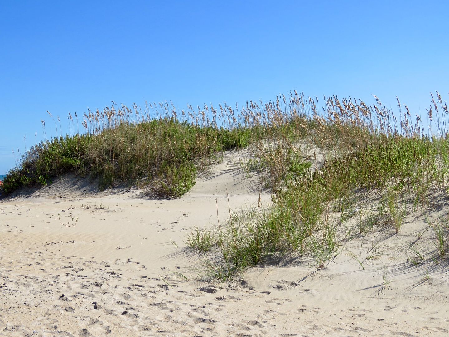
A boardwalk to the beach is also located nearby for pedestrians. Sea oats cover the primary dunes along the seashore here. The have extensive root systems (1.5 to 10 meters) below the surface of the beach that stabilizes the dunes. The grass leaves catch the blowing sand while the roots hold the sand in place.
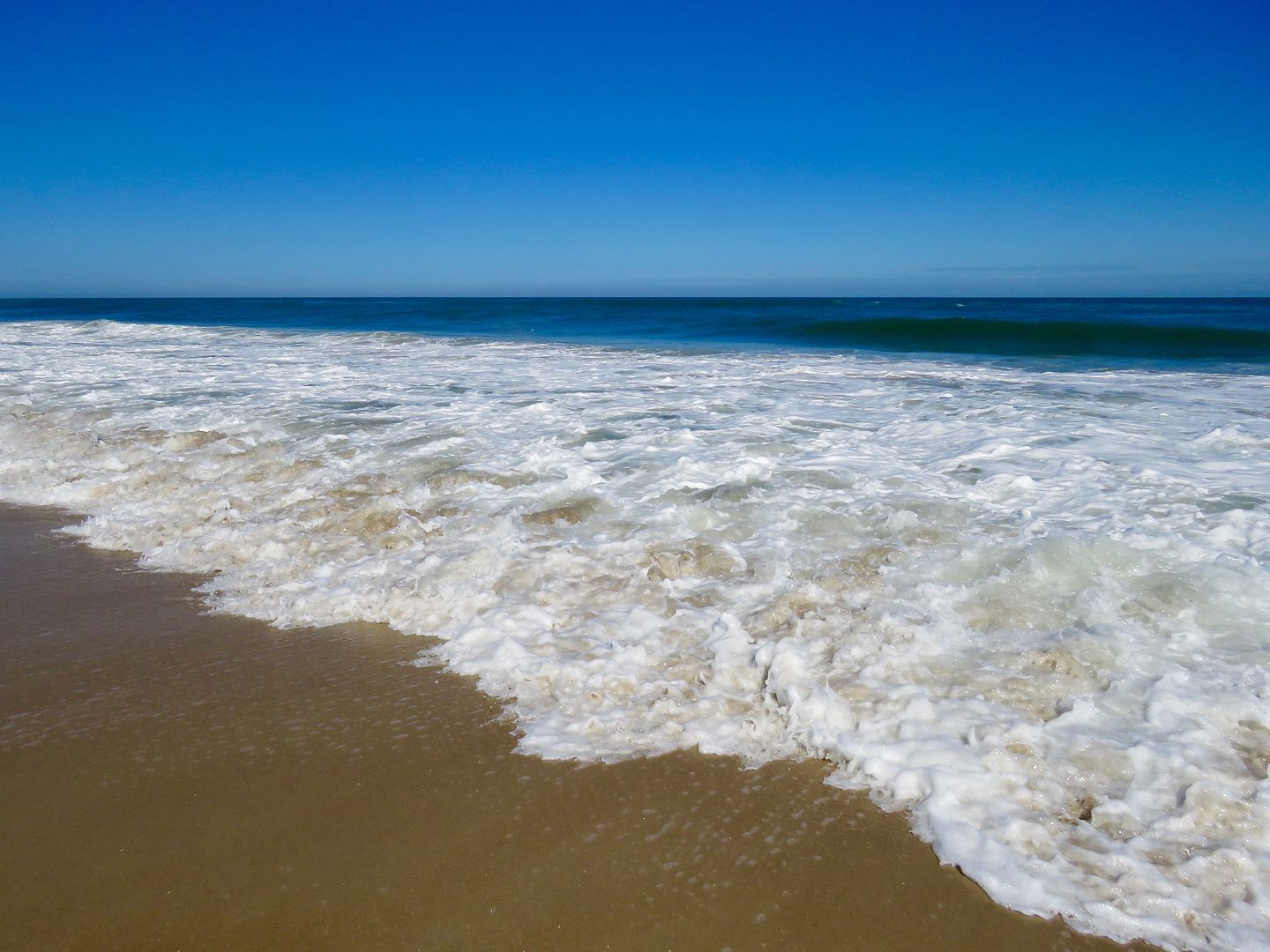
The beach was gorgeous and there were very few people at the one where we stopped.
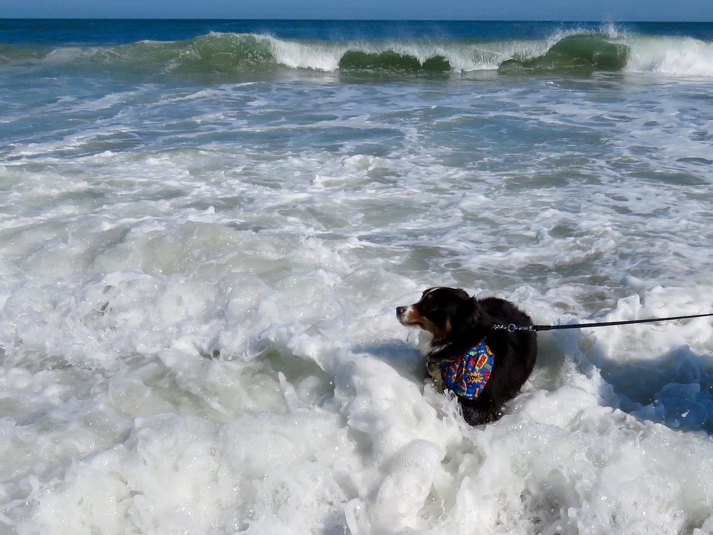
Of course, our sweet doggie, Sadie, had to go for a swim, but the water was very rough with a strong undertow. She had fun jumping the waves, though!
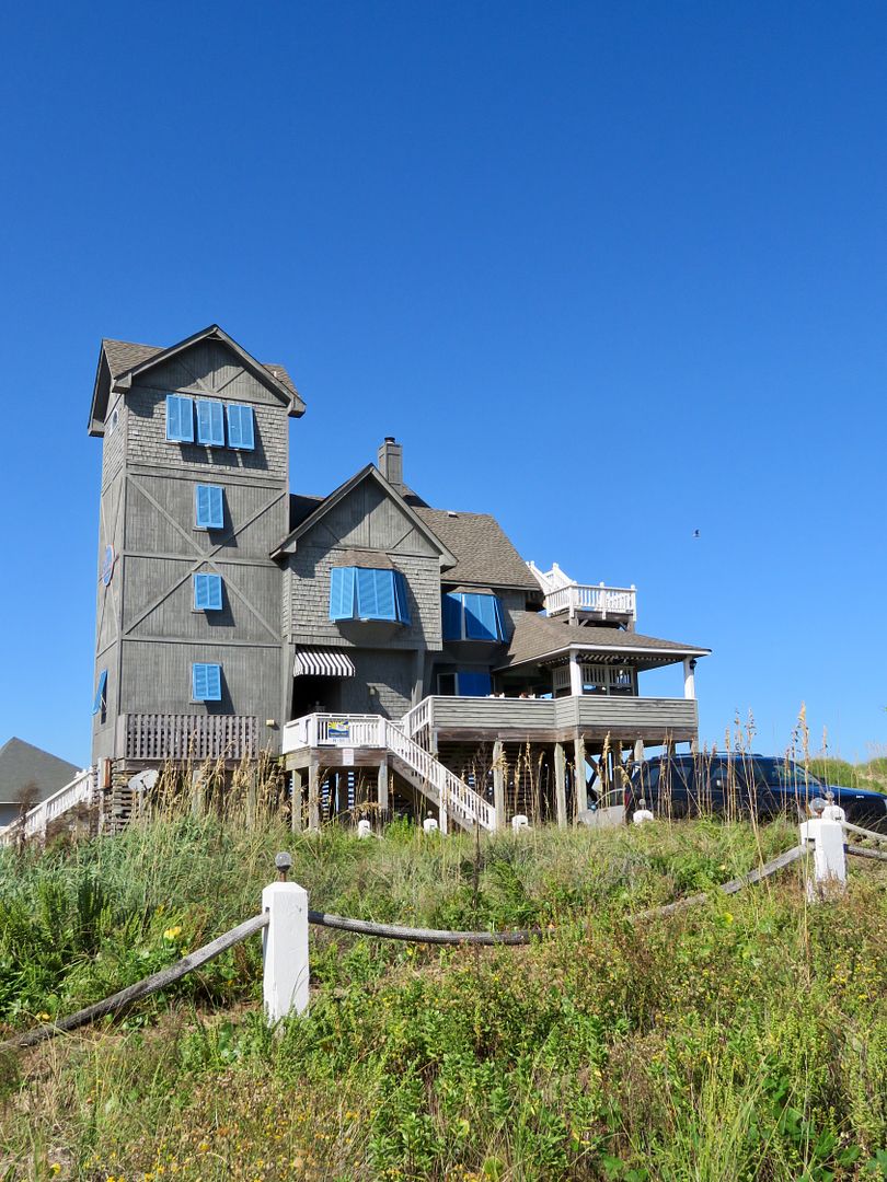
As we made our return trip north along Highway 12, we made a quick stop to snap some photos in Rodanthe of the house made famous by the Nights in Rodanthe movie (starring Richard Gere and Diane Lane). Today it is available for rent (sleeps 12).

My first visit to the barrier islands of North Carolina was as gorgeous as I had hoped it would be! We did not have time to take the ferry to Ocracoke Island. There is so much more to see here, we will definitely be back!
There are eight towns along the coast here (that are not part of the National Seashore) with vacation rental, hotels, restaurants, and other activities supporting tourism. Four campgrounds are located in the National Seashore with tent, trailer, and motor home sites, but no hook ups.
For additional information about the park, go to www.nps.gov/caha.
Nice post. Hatteras is our favorite beach place. Heading there next month for a week.
ReplyDeleteThanks. Where do you stay when you are there? Hope our paths cross sometime in the not too distant future!
ReplyDelete