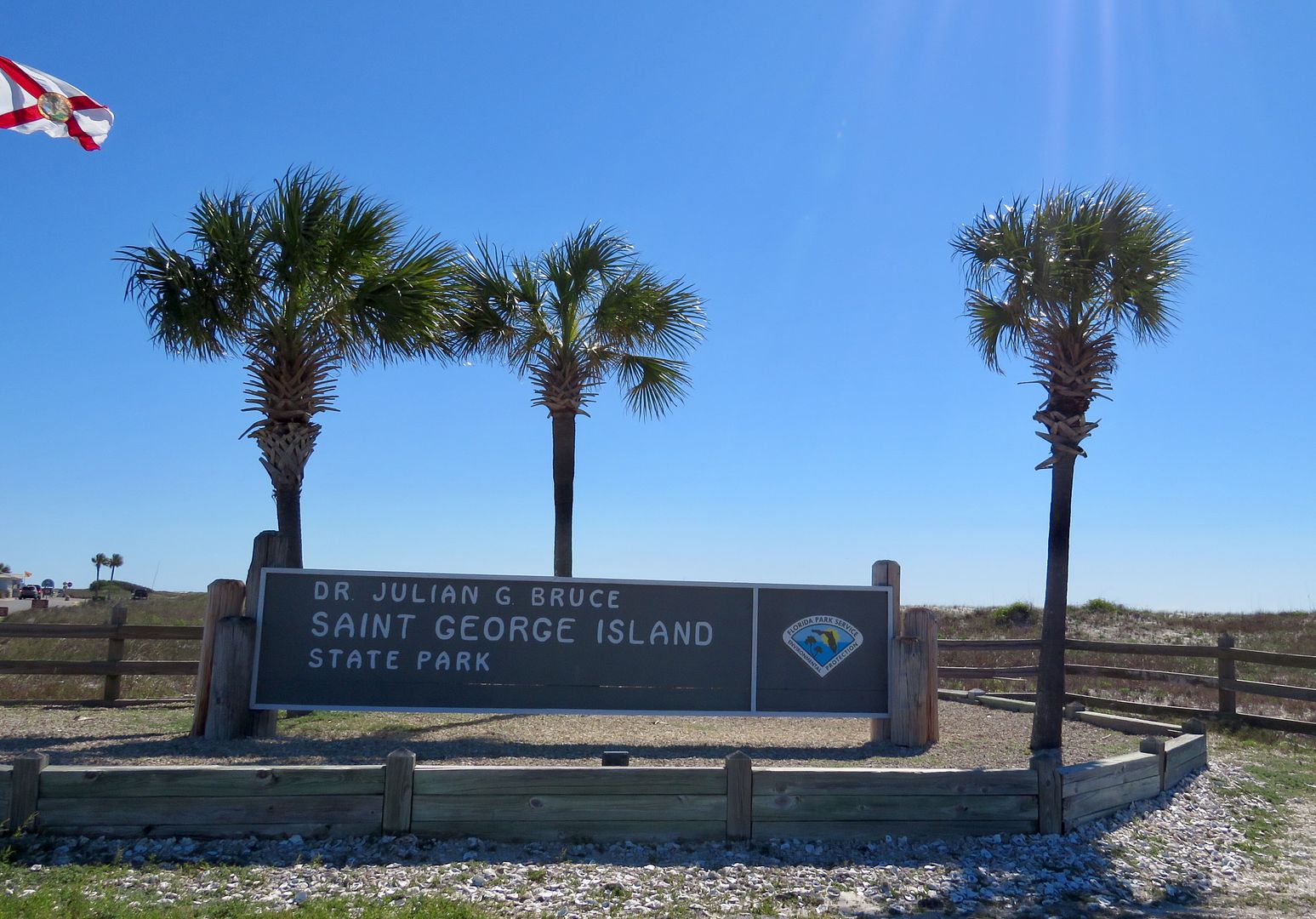
Now famous for its secluded beaches, Apalachicola Bay oysters, and abundant local seafood, the St. George Island State Park is located on close to 2,000 acres at the eastern end of the island. The land for the park was acquired in 1963 and it opened when park facilities were completed in 1980.
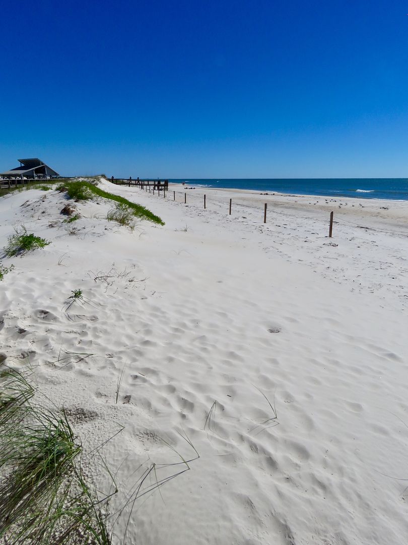
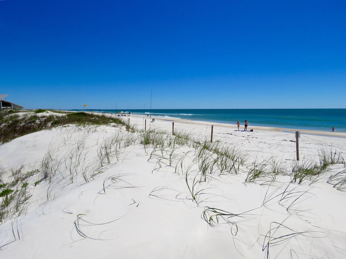
The park features nine miles of white sandy beaches for swimming or sunbathing. Five miles of beach are in a restricted use area only accessible by foot or bicycle. Dogs are permitted elsewhere in the park but not on the beaches or the restricted area.
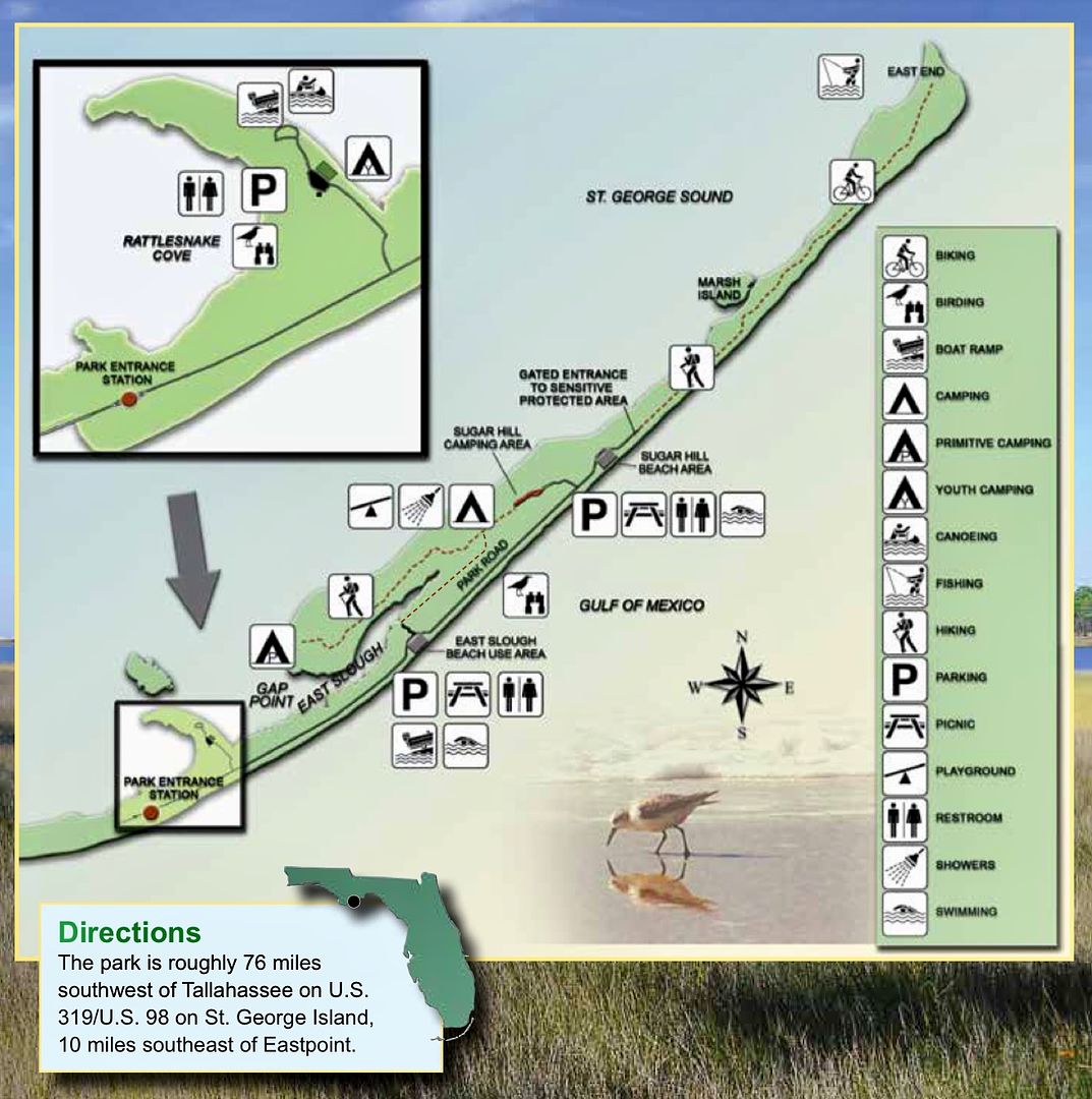
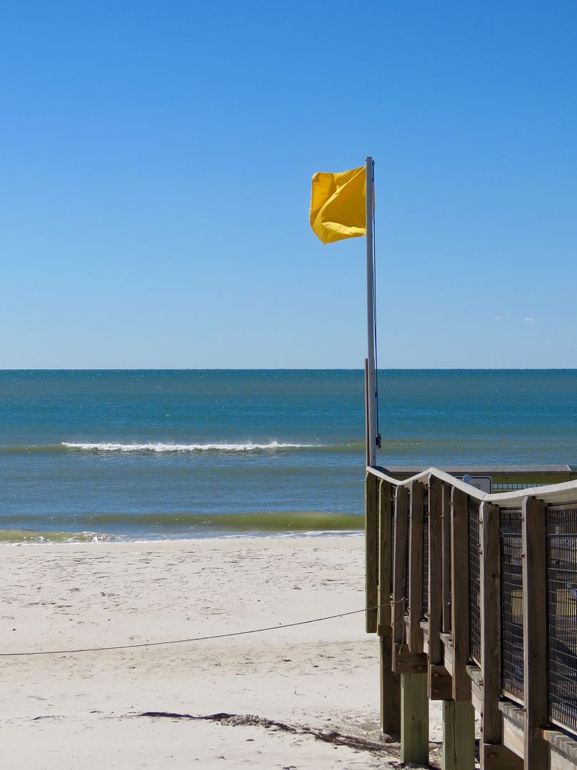
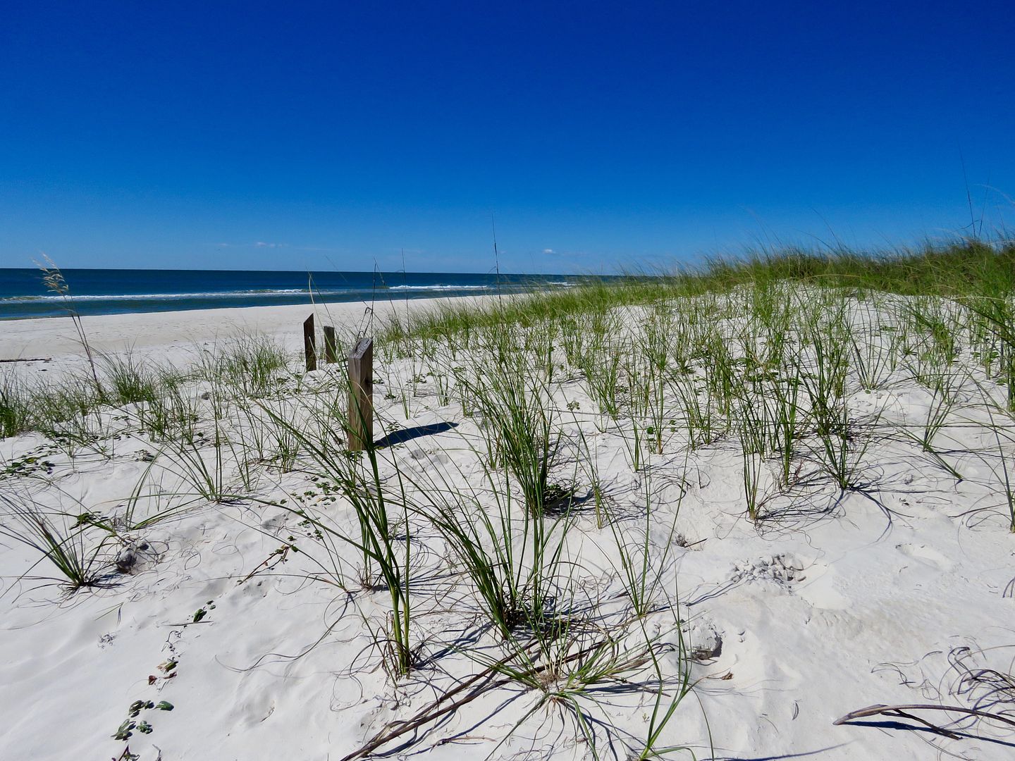
There are multiple beach access locations along the Gulf side of the island but there are large parking lots, pavilions, and restrooms at the two primary ones East Slough and Sugar Hill. Dunes are not to be walked or climbed upon as the park continues to work to preserve the fragile environment here. There are no lifeguards here, but surf warning flags inform visitors of the water conditions. Rip tides can be very dangerous here and double red flags are posted when the beach is closed for swimming.
Two boat ramps are available in the park to launch canoes and kayaks, a popular activity in the shallow Apalachicola Bay. Others come to the park for surf or bay fishing. Only boats with electric motors are permitted in the park. A full-facility campground has 60 campsites with electric and water. A dump station is also available at the campground.
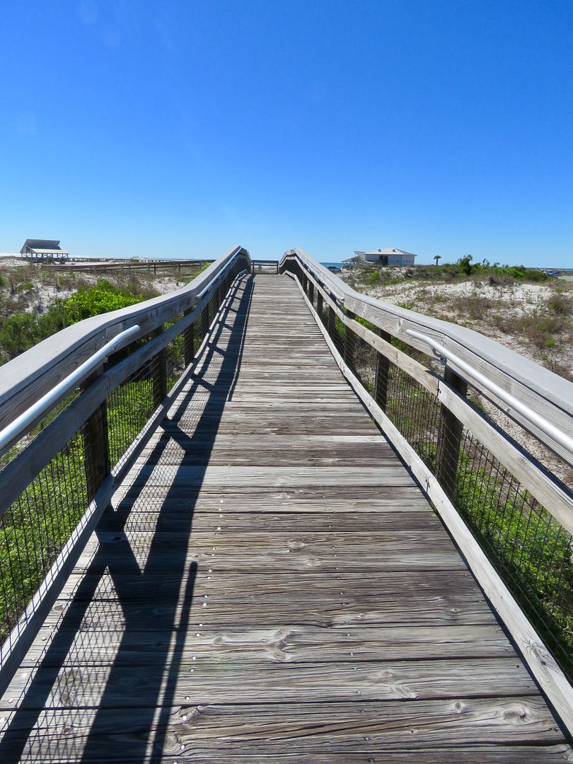
Six large picnic shelters are located along the beach. Boardwalks provide access to the shelters to preserve the dunes.


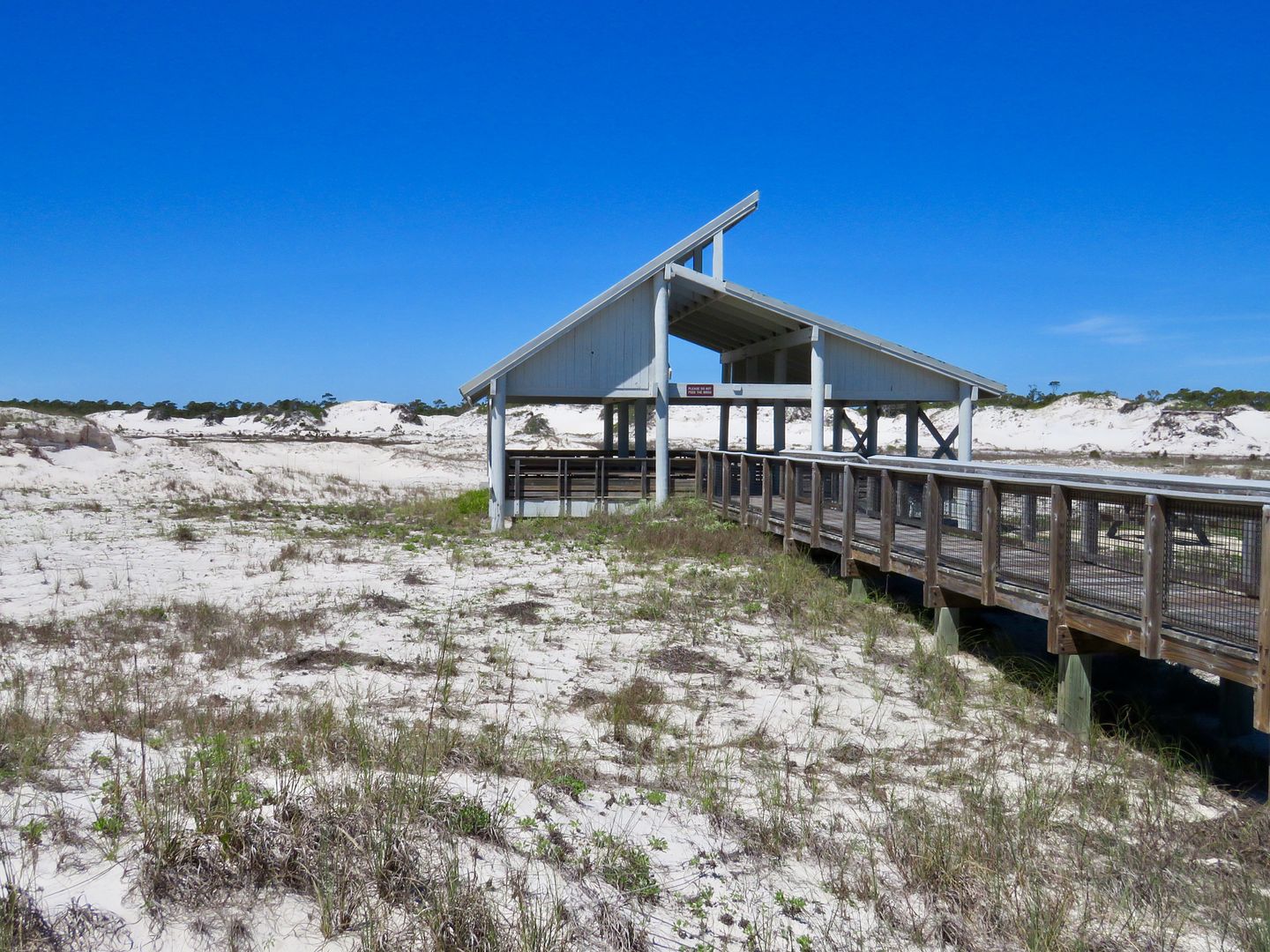
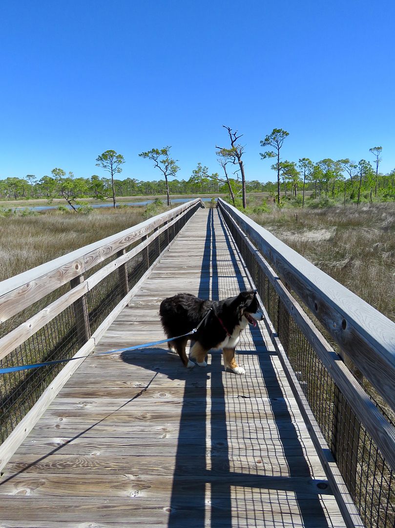
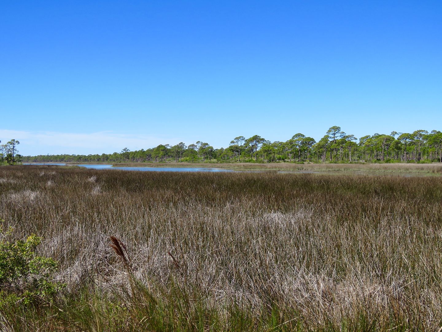
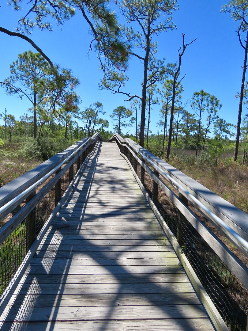
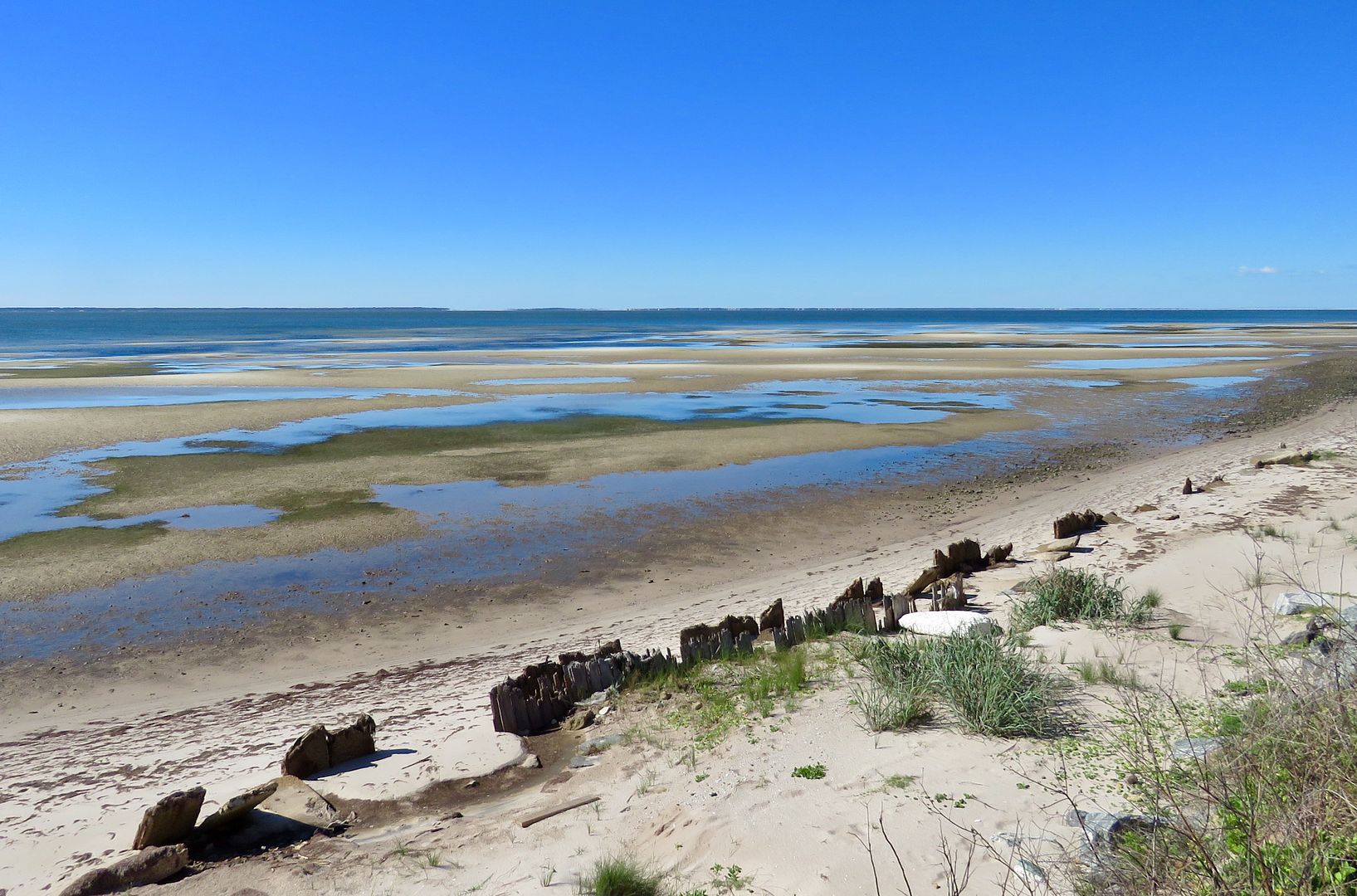
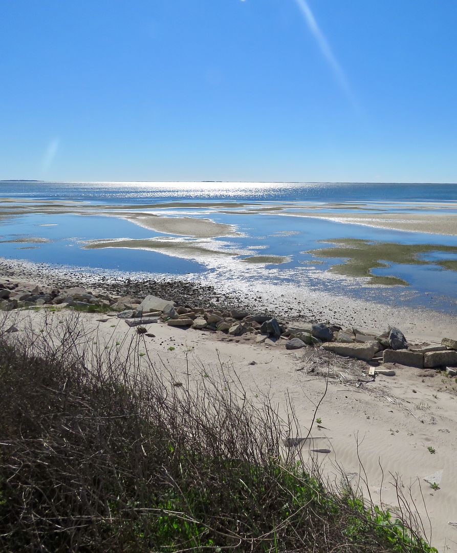
We parked at the East Slough Beach lot and crossed the park road to East Slough Overlook Trail. It begins with a boardwalk that leads to the Observation Platform where you can get a great view of the salt water marsh.
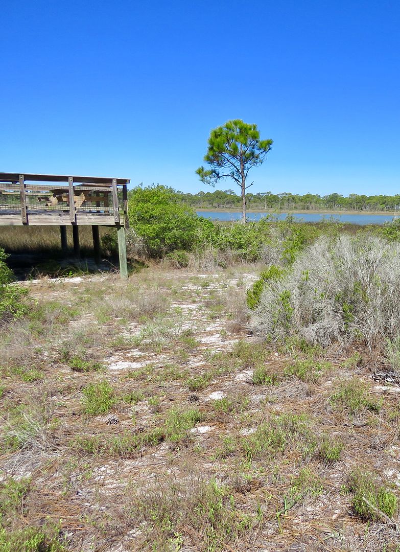
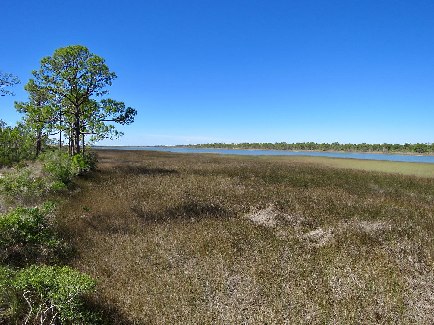
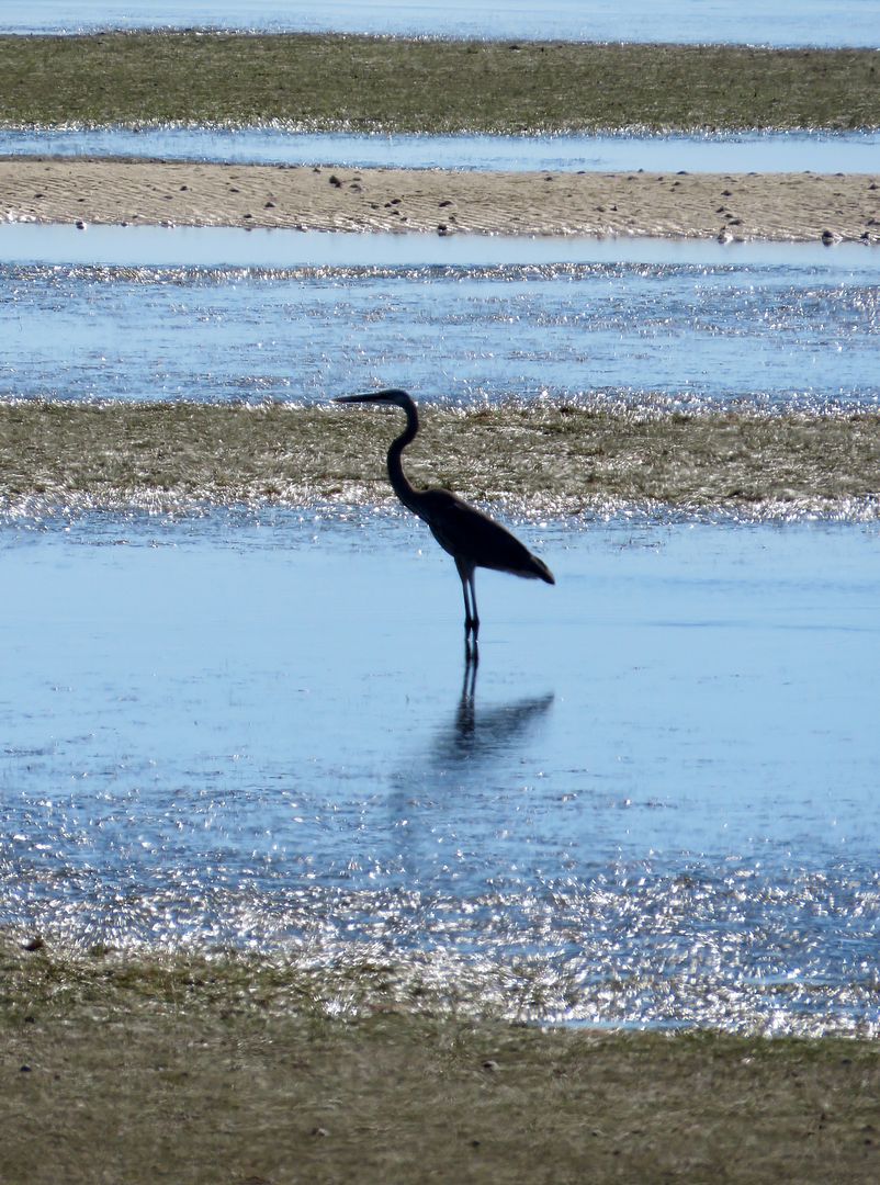
This salt marsh is a tidal zone where land meets marine waters. The ones on St. George is dominated by black needlebush and other non-woody, salt-tolerant plants, as flooding is very common. Wildlife finds abundant food and cover in the marshes.
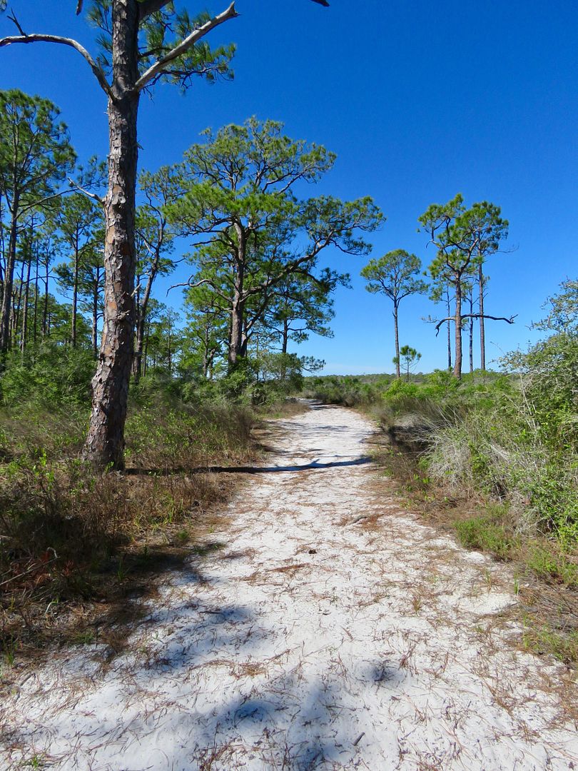
Continuing on the East Slough Trail, there are both sandy paths and boardwalks over swampy areas.
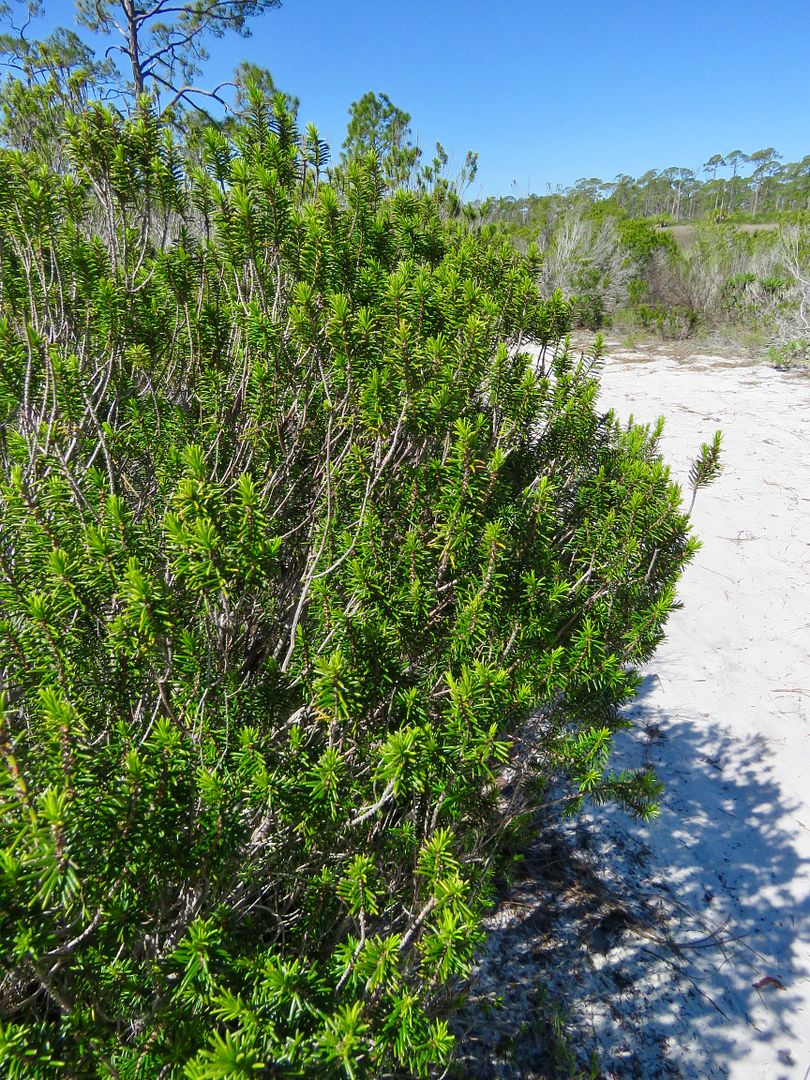
The black needlebush is a perennial plant that grows 4 to 7' tall ending with a sharp point. The stems have been used to weave baskets, mats, hats, etc.
As we walked through the pine flatlands, we found Florida rosemary growing in abundance. They are a dark green shrub that have reddish flowers and then small yello berries.
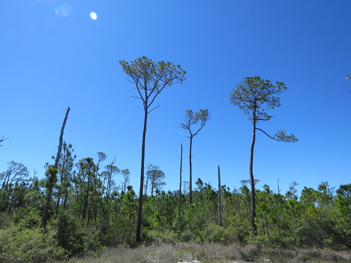
At various points along the trail, large dunes could be seen (which seemed a little out of place!)

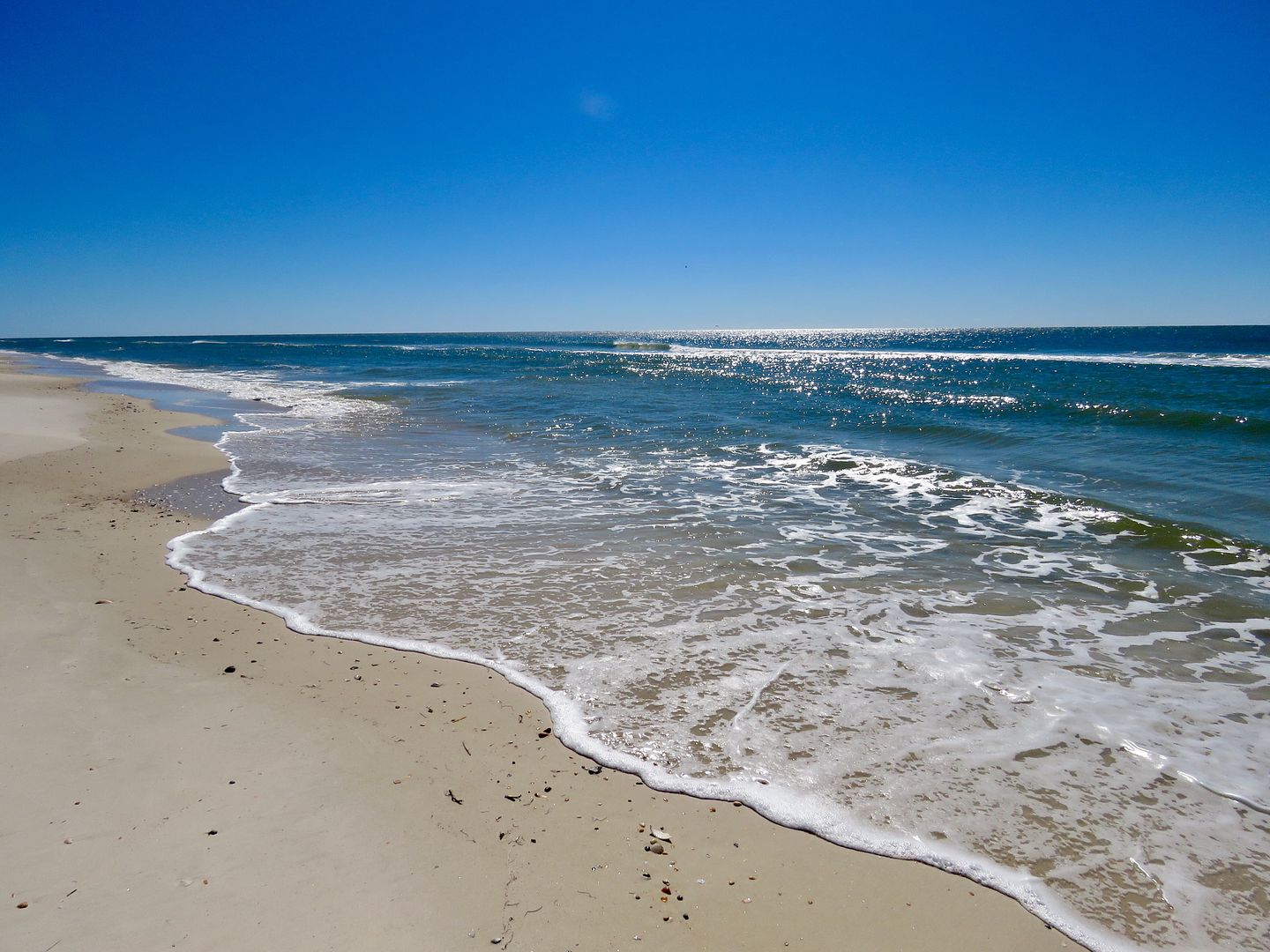
We retraced our steps along the trail to the parking lot and drove to the Sugar Hill Beach Area. The beach here is as gorgeous as the rest Gulf coast in the park and very deserted (on a weekday).
Hoping to hike a portion of the road in the restricted area at the eastern end of the park, we did not realize that dogs were not permitted (until we saw the sign at the road barrier). That ended our hiking at this park for the day, although we did get in about 2-3 miles. We would have spent more time here if dogs were permitted on the beaches.
For information about admission fees, the campground, picnic shelter reservations, etc., go to their website: www.floridastateparks.org/park/St-George-Island
On our return trip to Carrabelle Beach along Highway 98, we pulled over several times to enjoy the beauty of the coastline.
A beautiful drive on a clear, sunny day.
On our return trip to Carrabelle Beach along Highway 98, we pulled over several times to enjoy the beauty of the coastline.
A beautiful drive on a clear, sunny day.
No comments:
Post a Comment