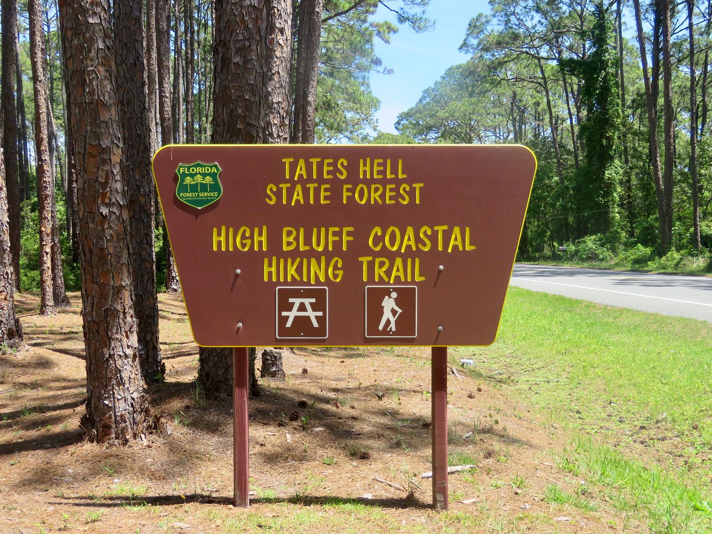
There are two access points to the High Bluff Coastal Hiking Trail a short distance from Carrabelle Beach, where we are staying for the month.
Our first visit to the forest was to hike the West Loop of the trail.
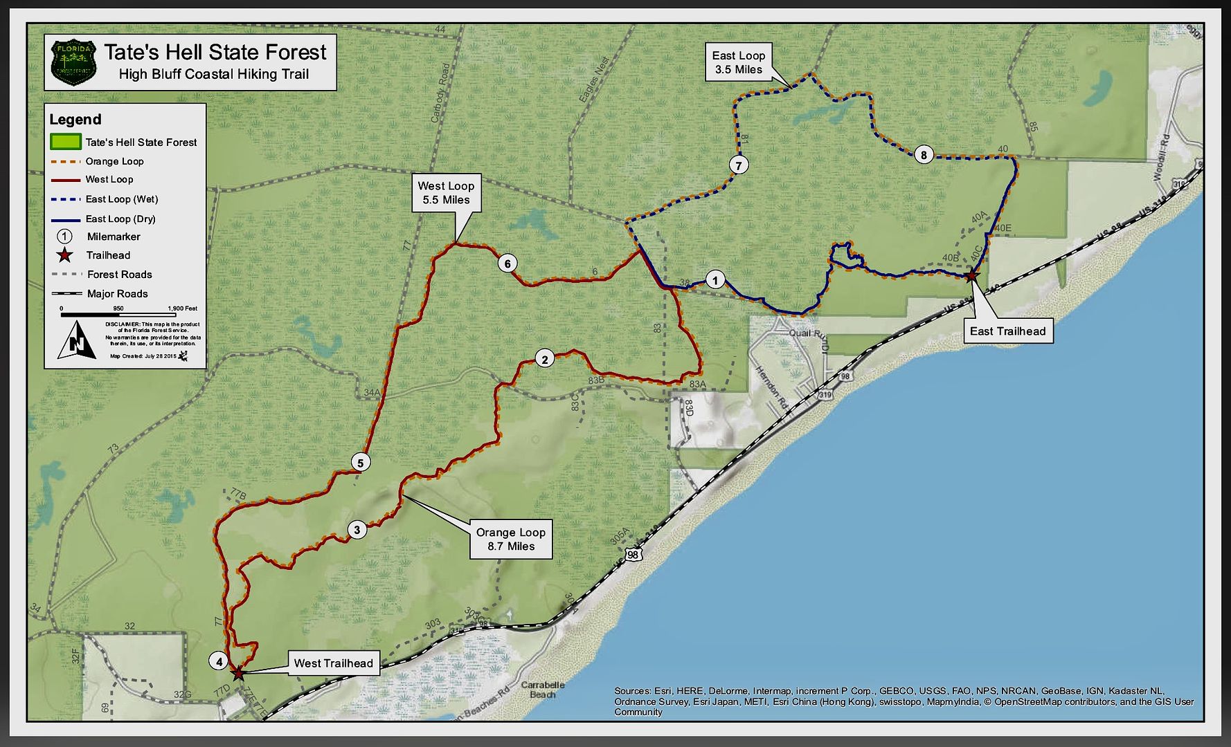
As shown on the map, the trail is 5.5 miles. We only hiked about three miles of it as it was very hot! And insects were buzzing all around us, even though we used bug spray before venturing onto the trail. Mile markers can be seen along both loop trails as indicated on the map.
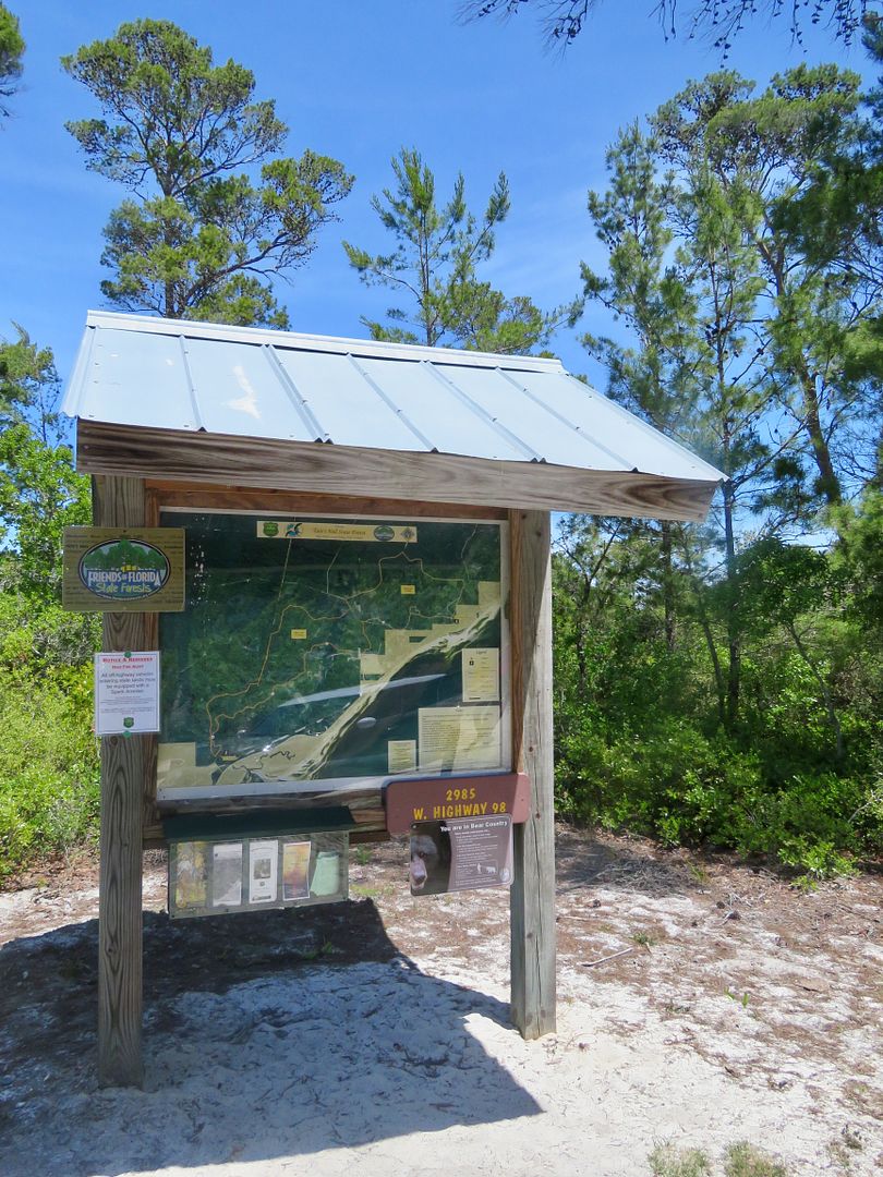
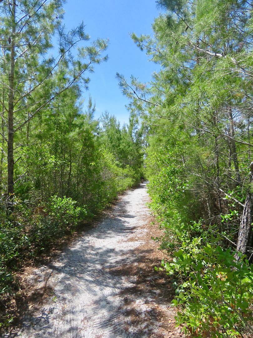
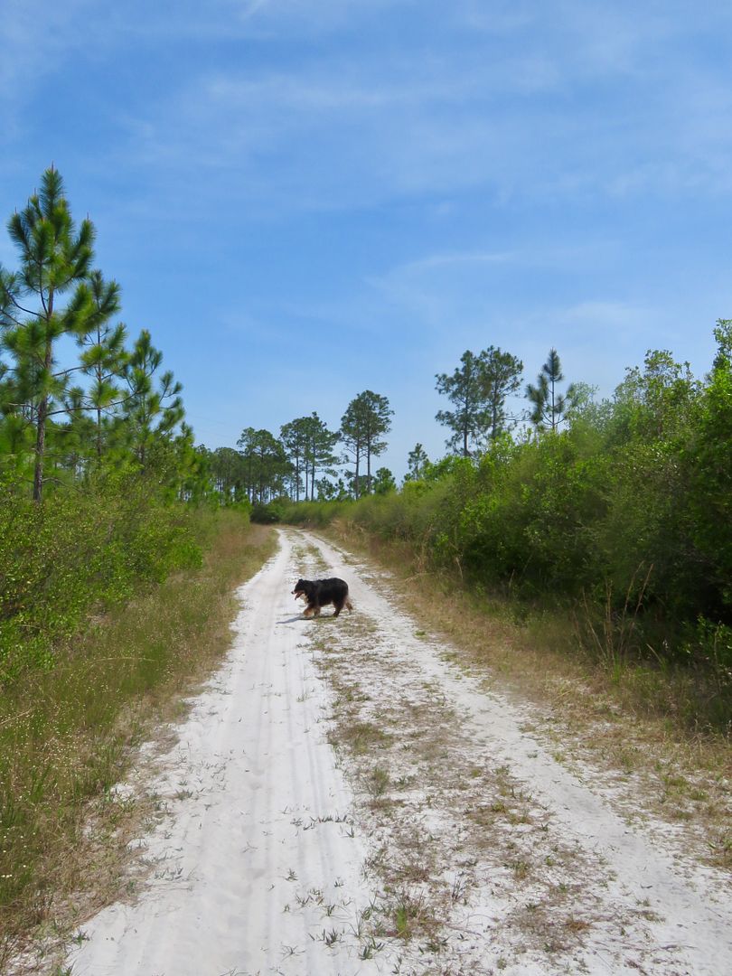
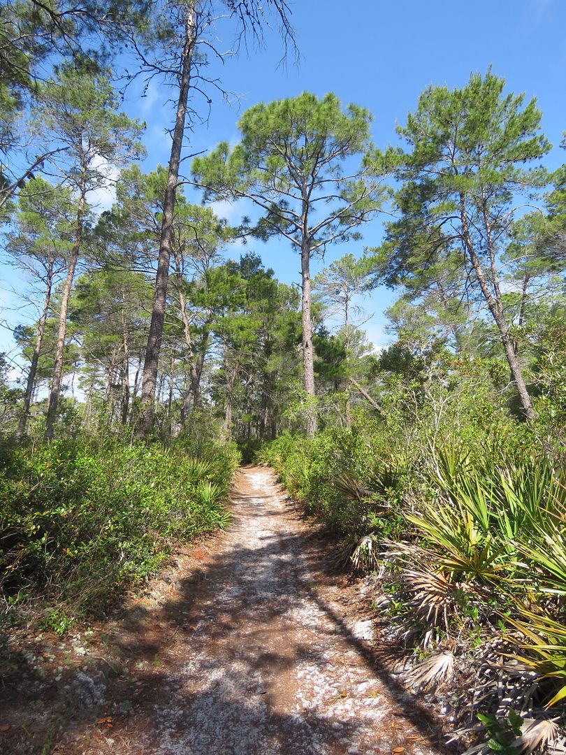
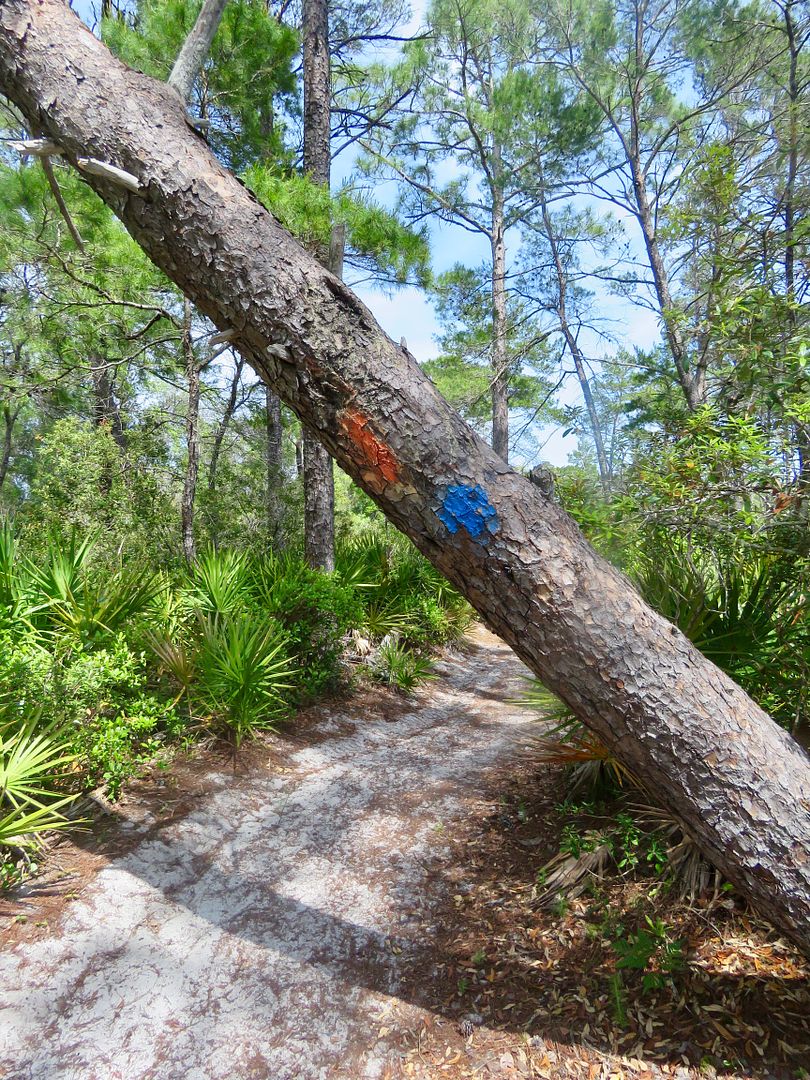
A kiosk at the trailhead has a map of the trail and a pamphlet about the trail (including a map) is available. The trail is white sand in this area and well marked with orange and red blazes. Double blazes indicates a turn in the trail.
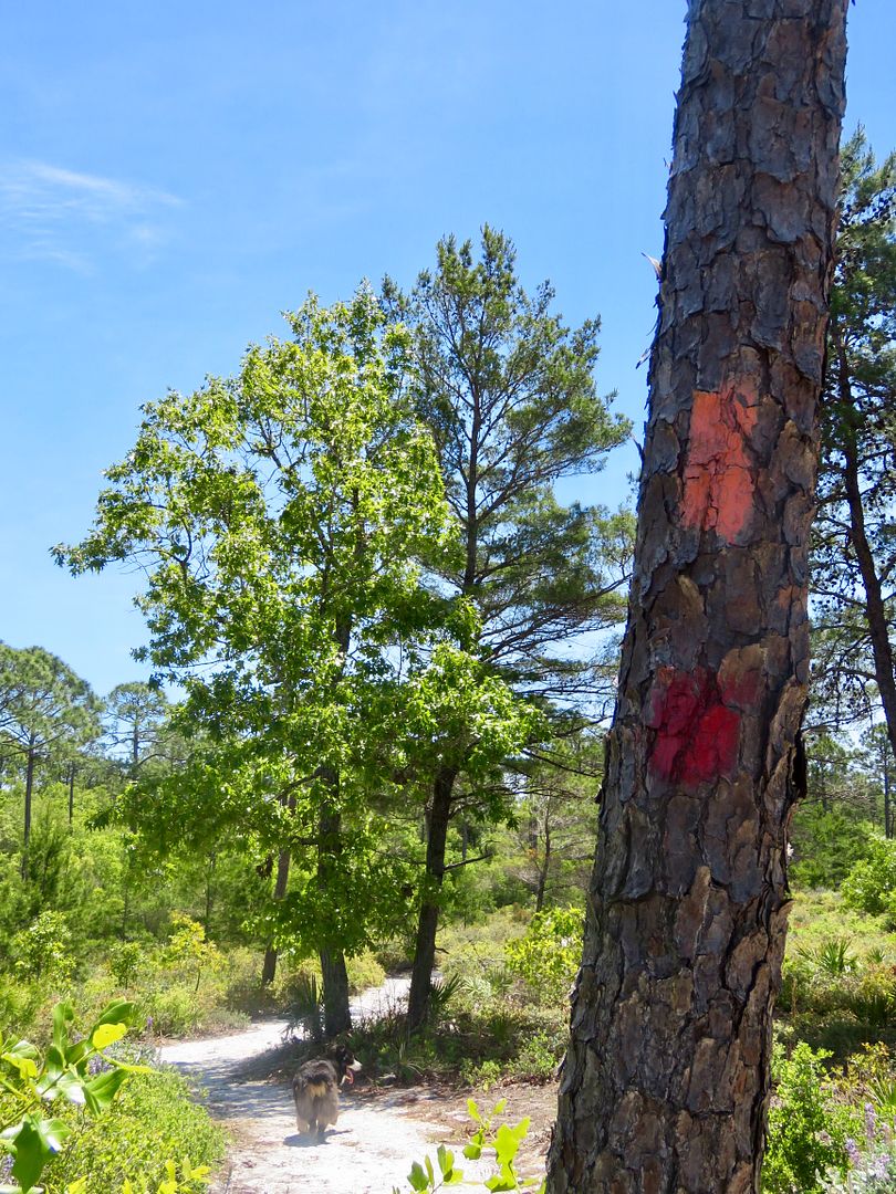
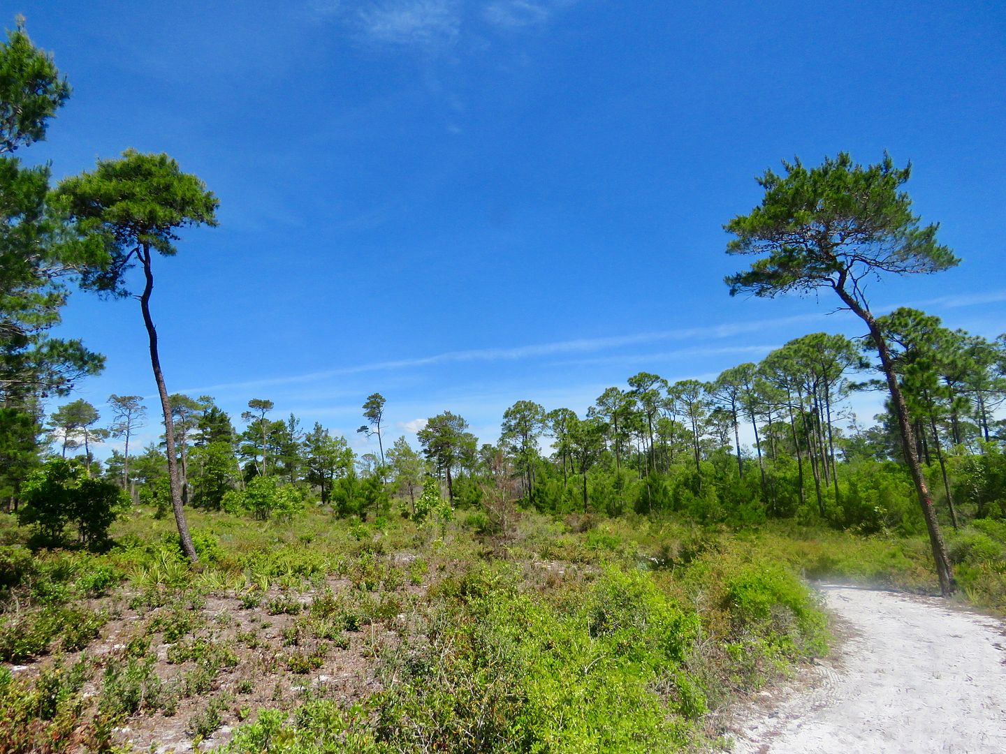
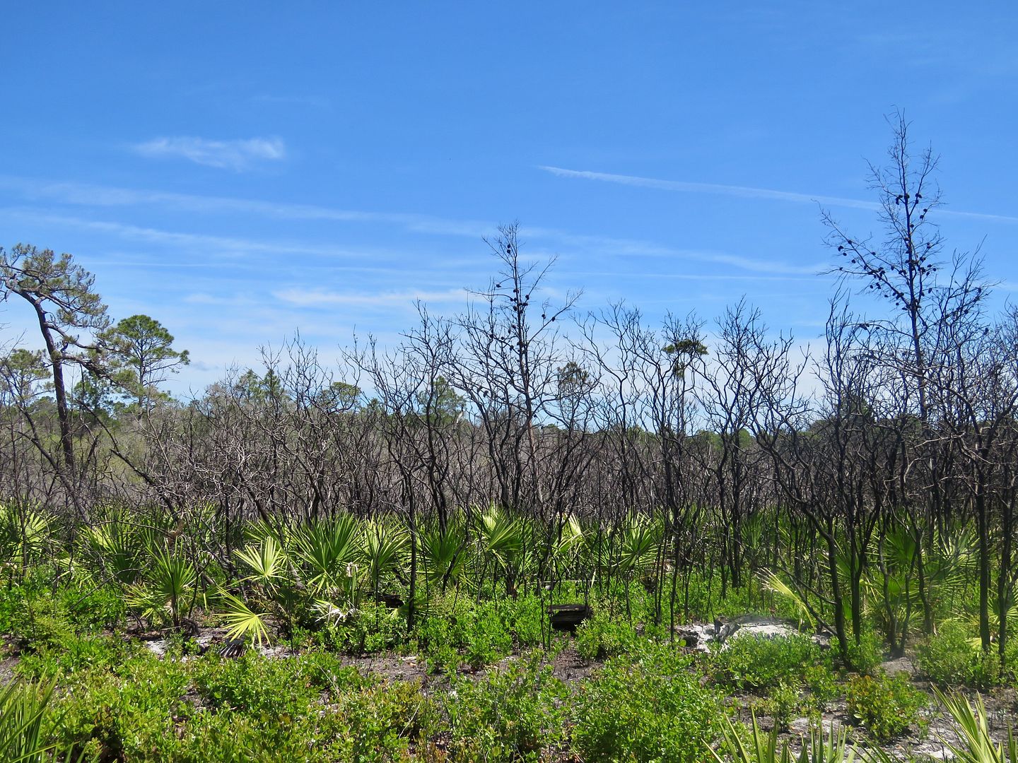
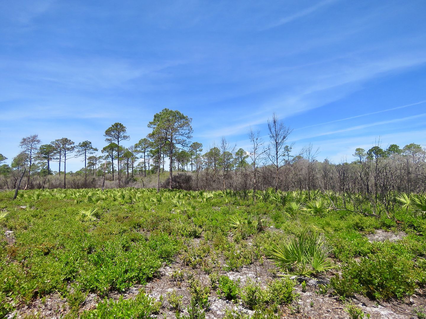
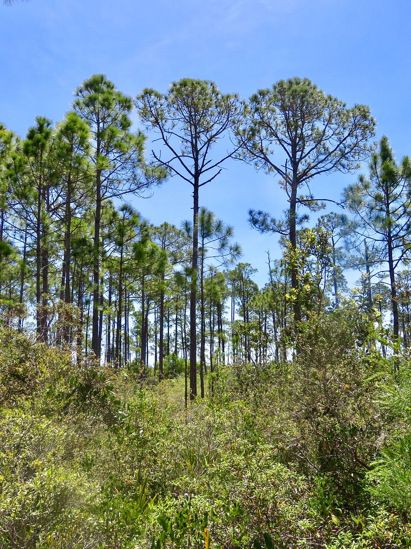
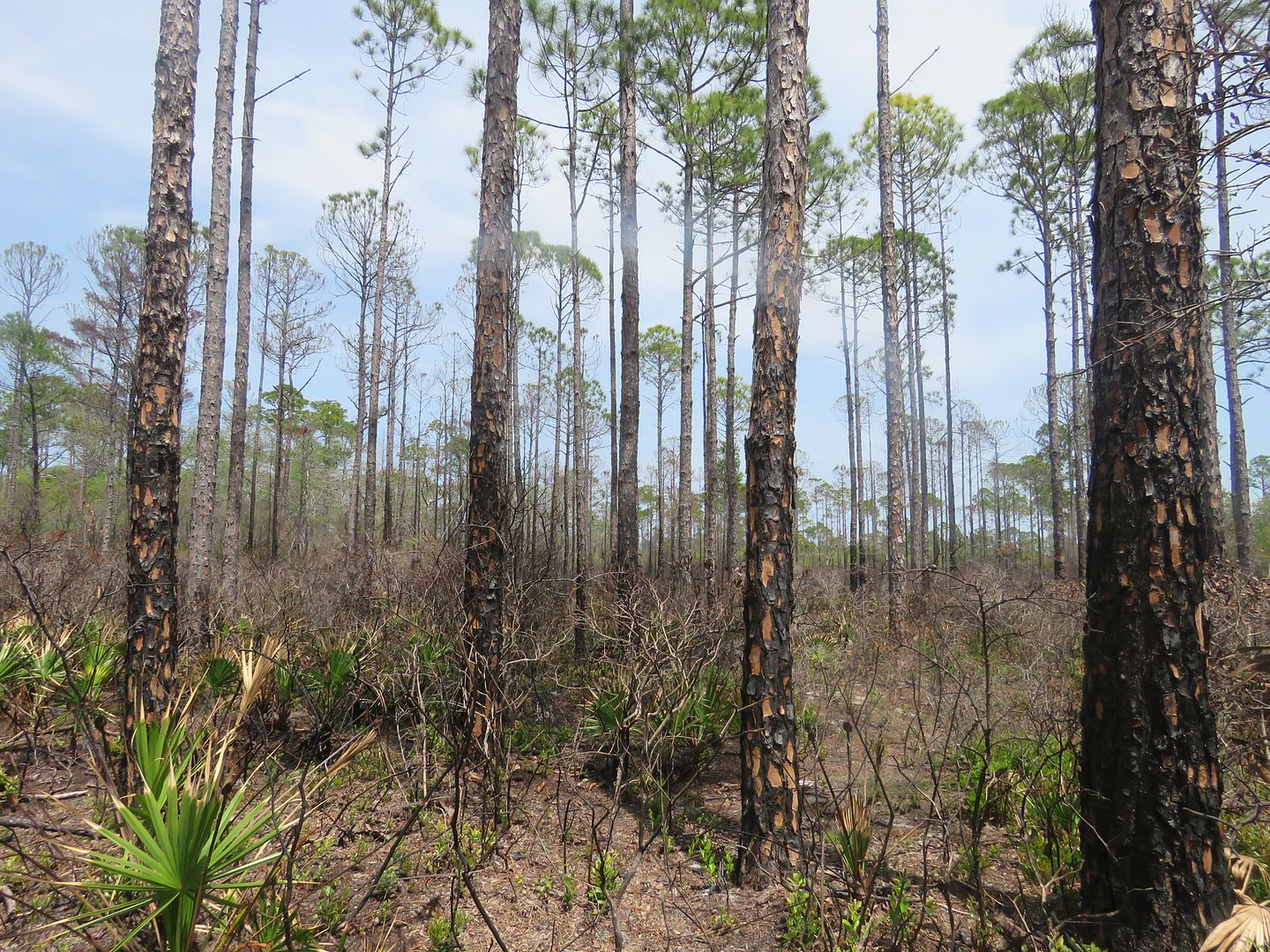
This trail features coastal scrub plants (small oaks, woody shrubs, and groups of sand pines) that have taken over old sand dunes. Evidence of controlled burns can be seen along the trail.
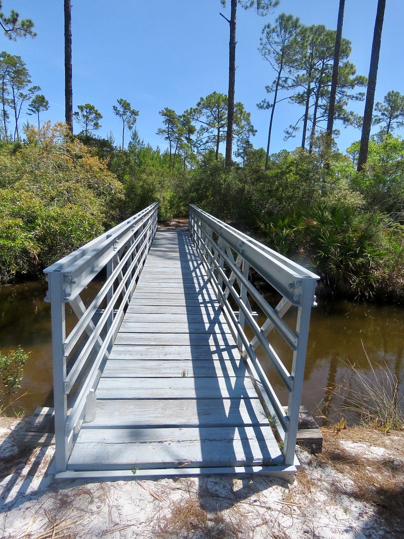
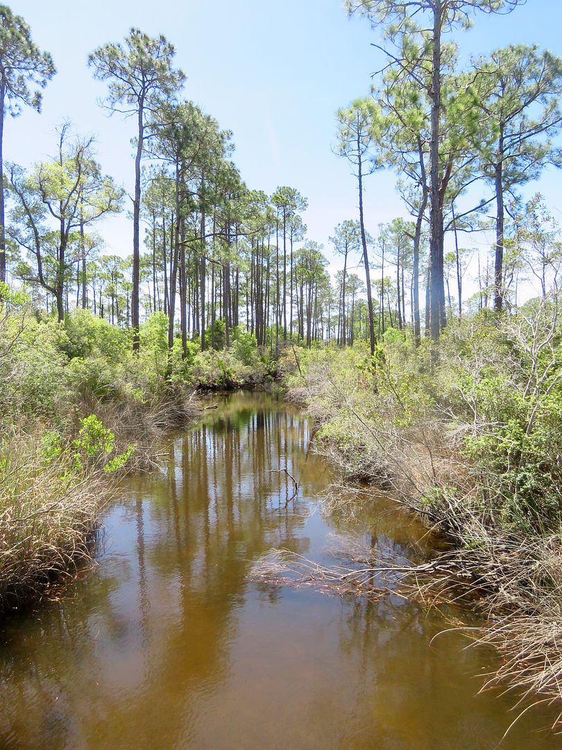
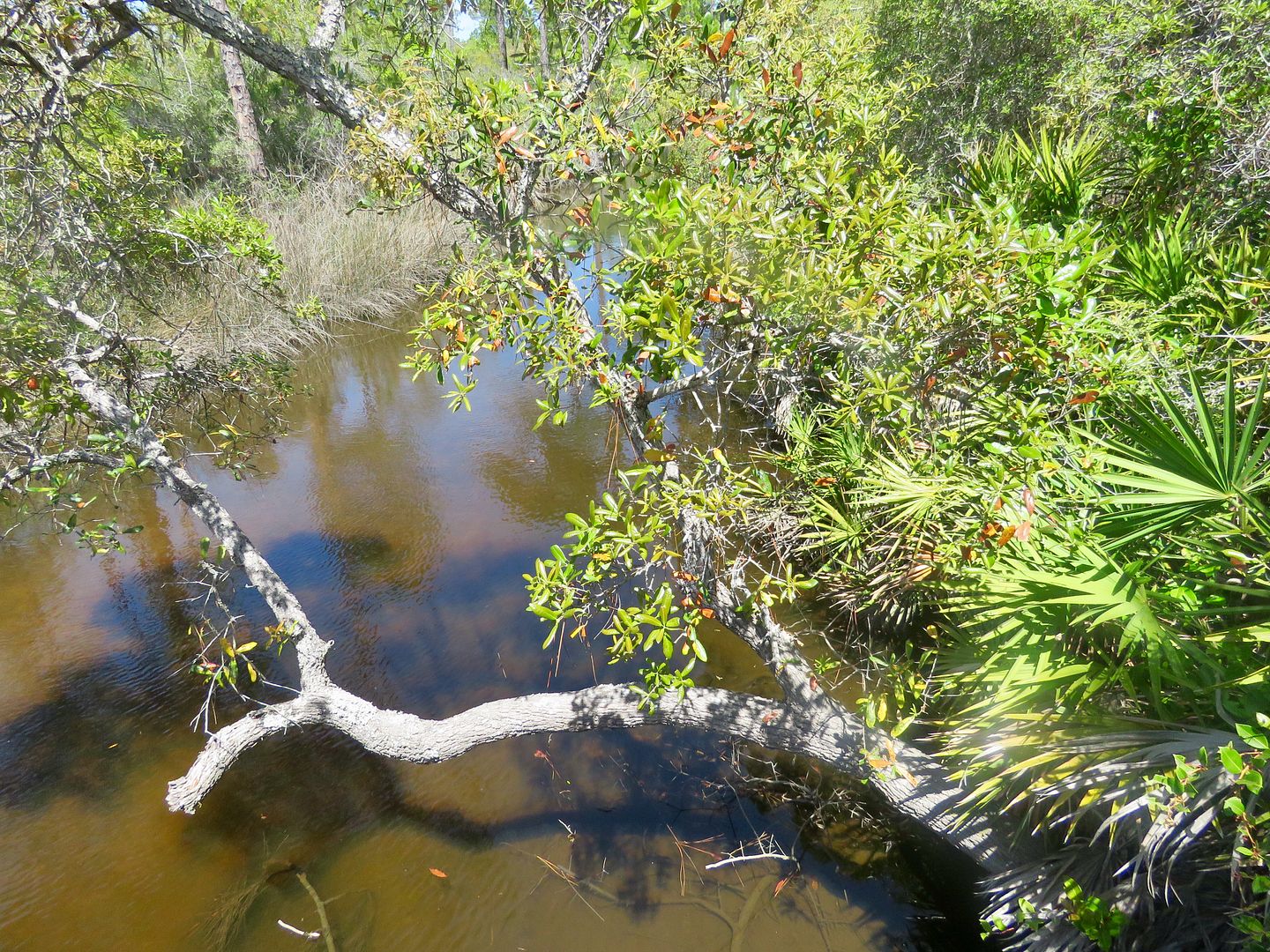
We came to this bridge over one of the many creeks in the forest.
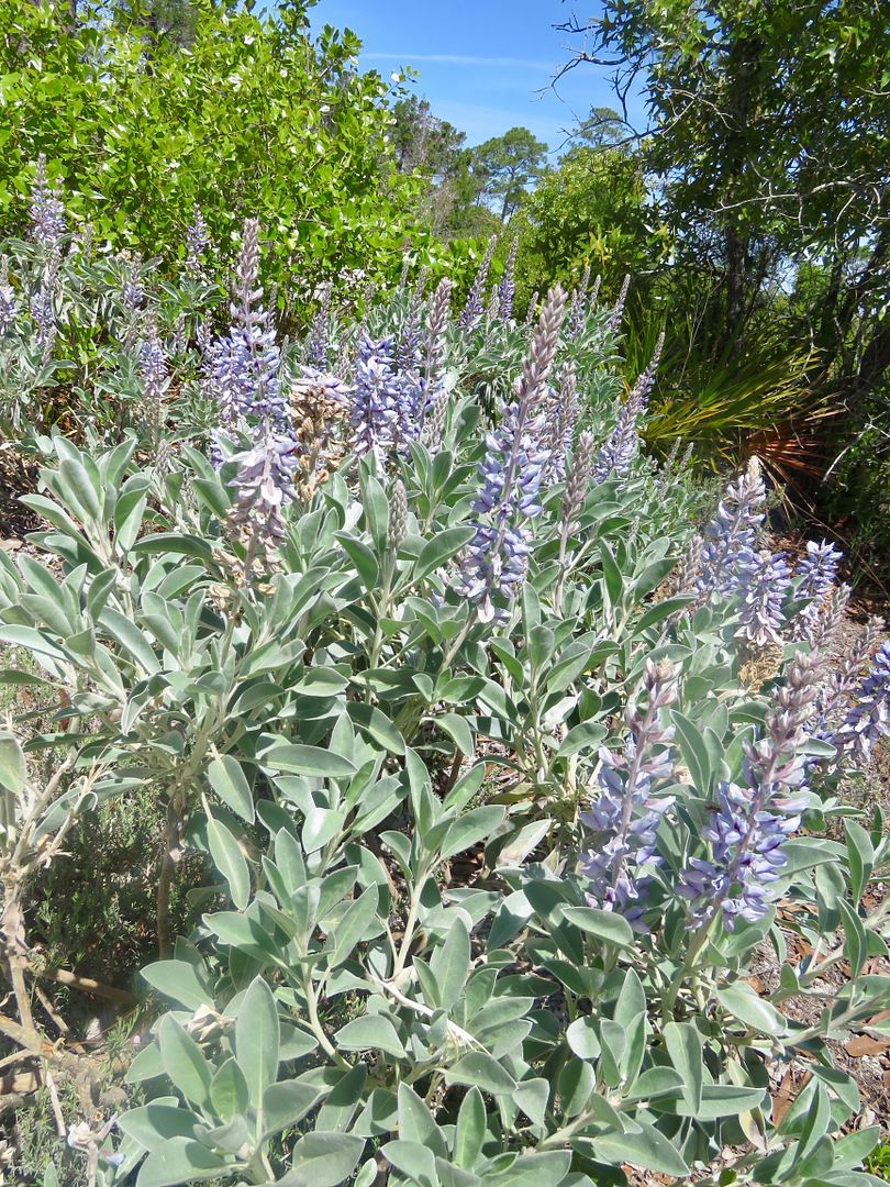
There are also flatwood areas with palmettos, more woody shrubs, slash and longleaf pine trees. This scrub lupine is an endangered plant species and it was a real treat to see it in abundance here.
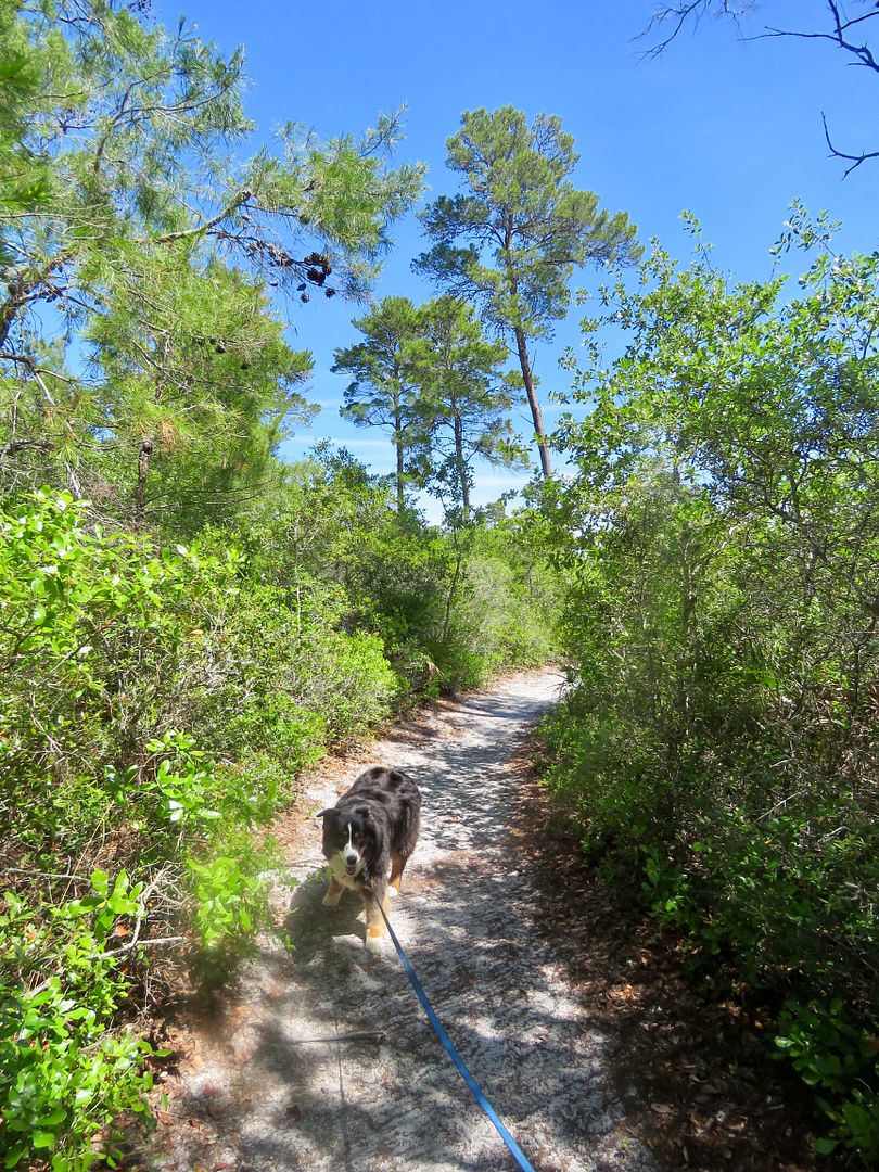
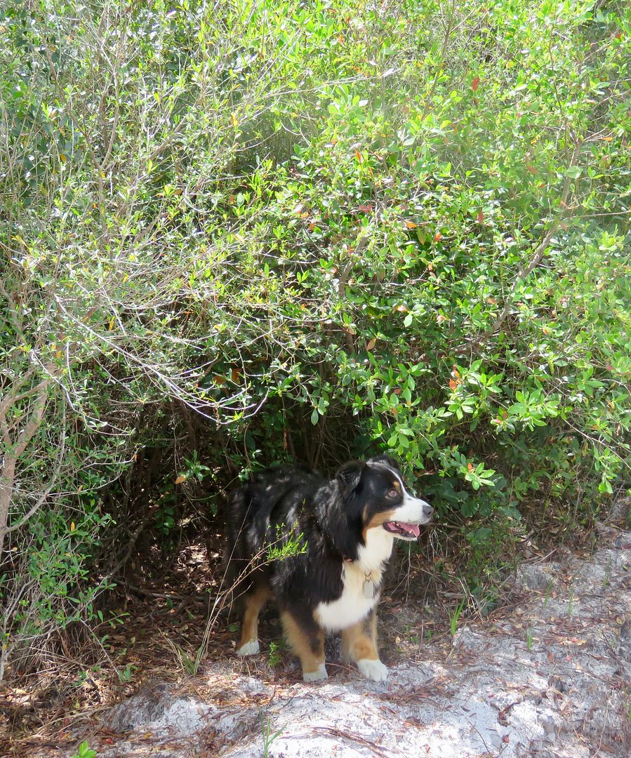
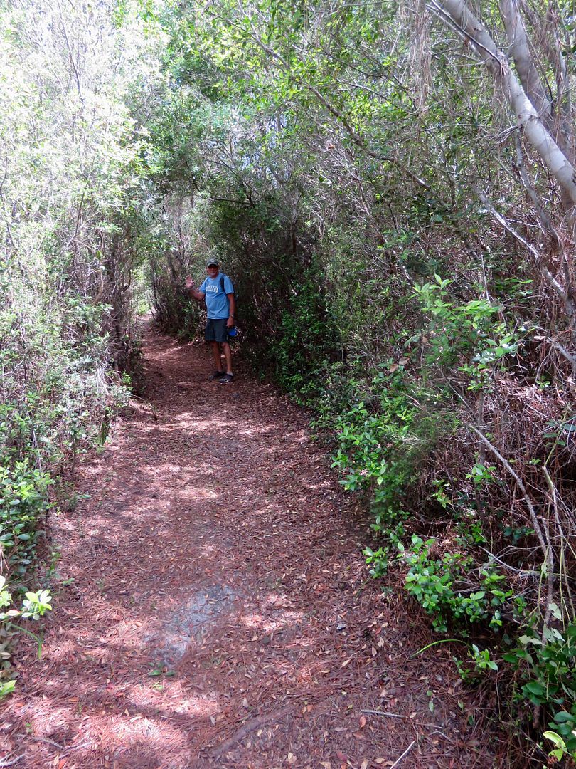
Our sweet doggie, Sadie, always enjoys hiking in new places!
Because we were all hot, we did not complete the entire loop and returned to the kiosk knowing we would be back to check out the East Loop in a few days.
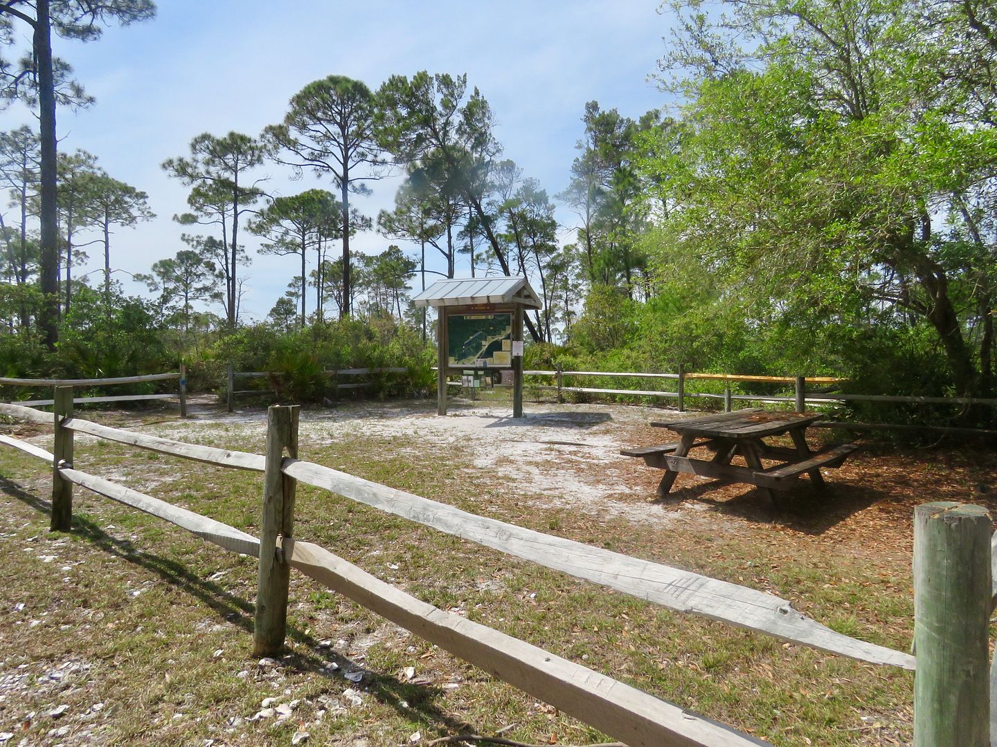
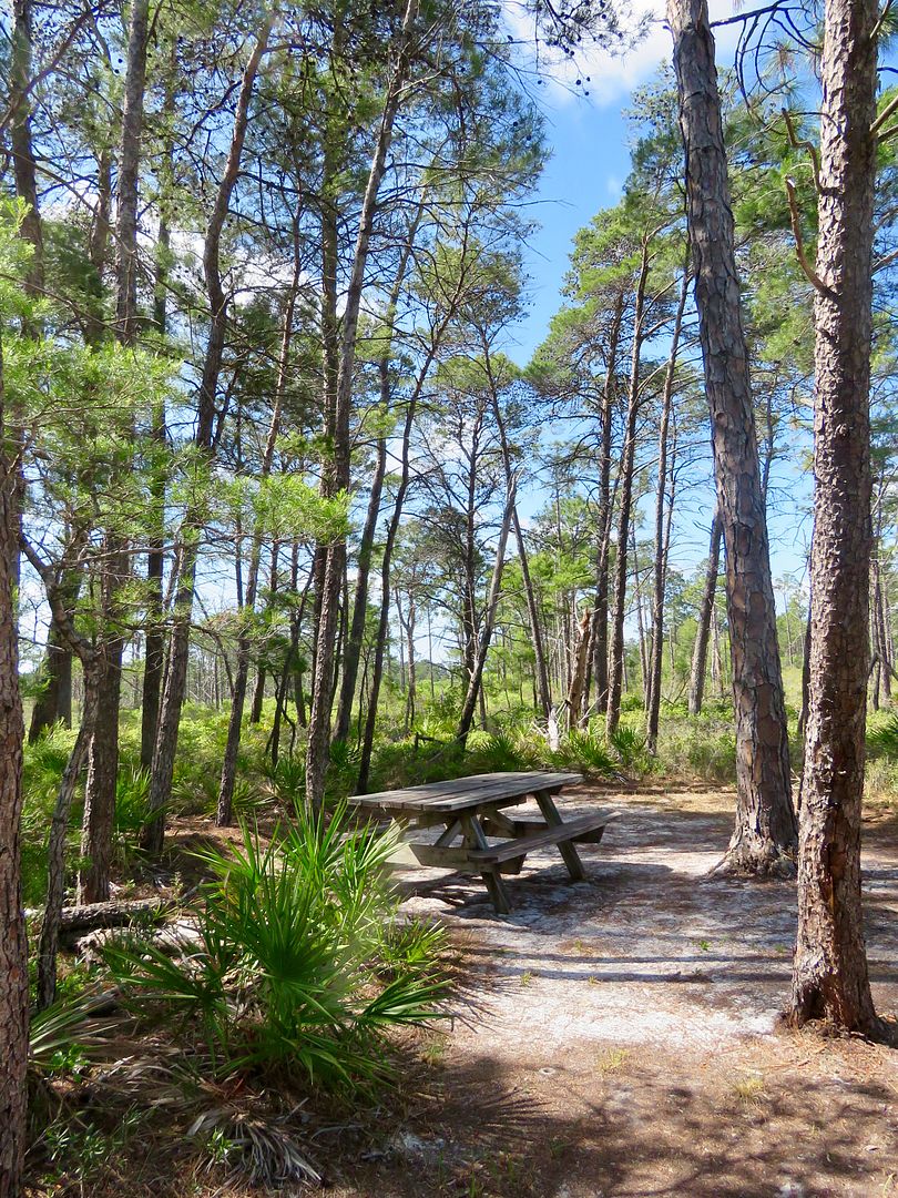
Similar to the West Loop trailhead, there is a kiosk and picnic table at the 3.5 mile East Loop of the High Bluff Coastal Hiking Trail.
Much of this trail is along roads constructed during the years of the timber industry.

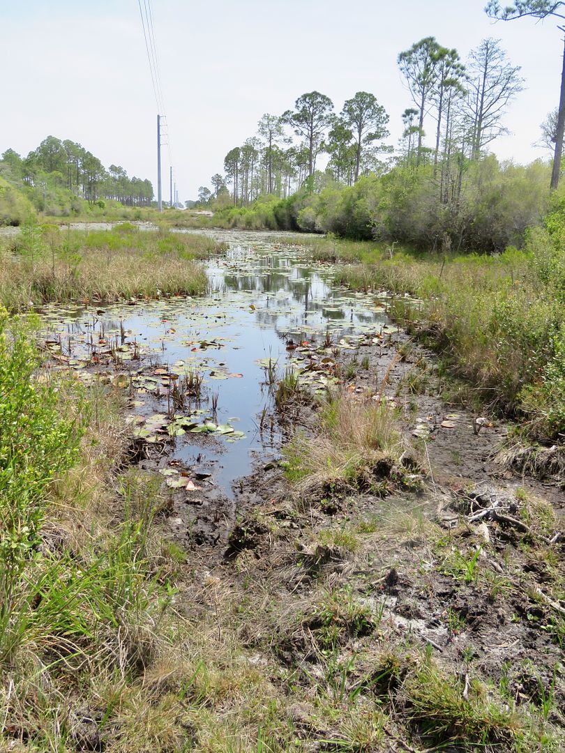
We came to an area of wetlands where power lines run through the forest. In the distance was a large sand dune.

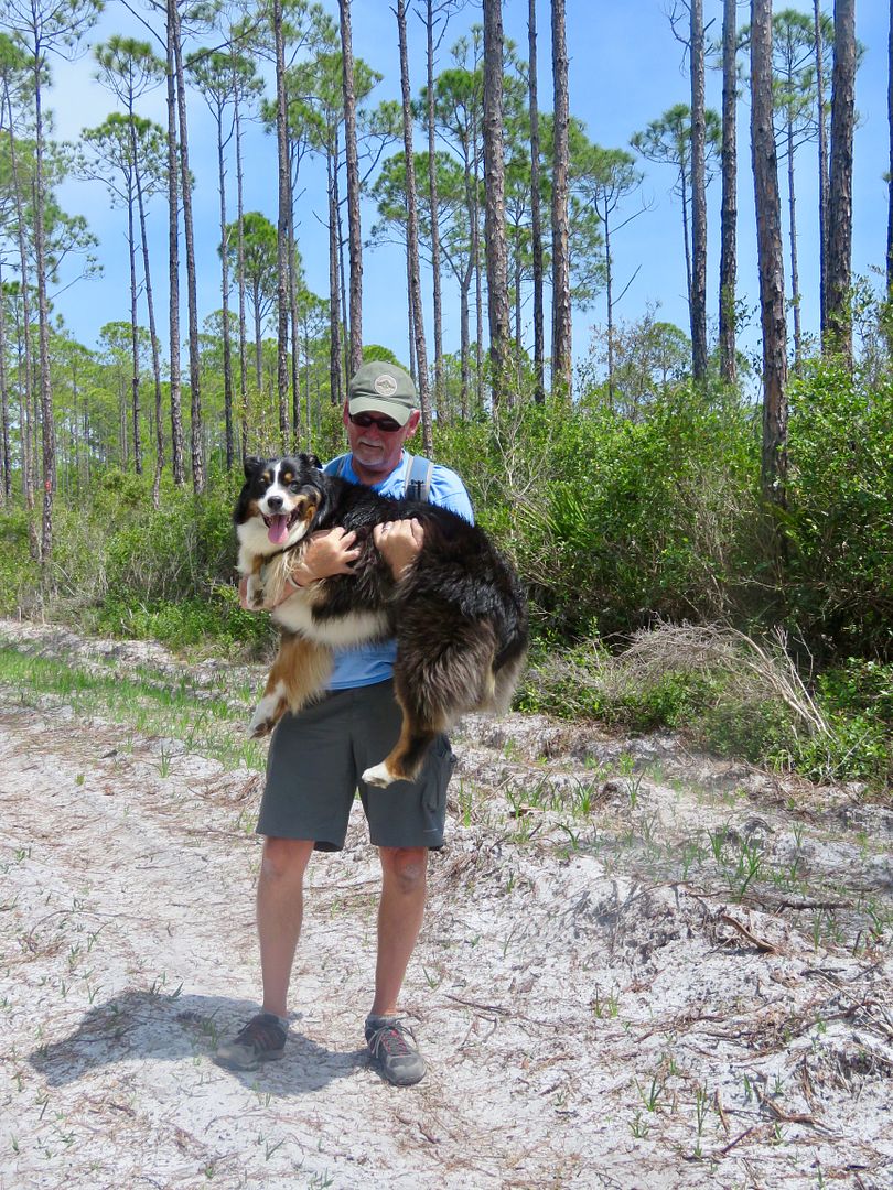
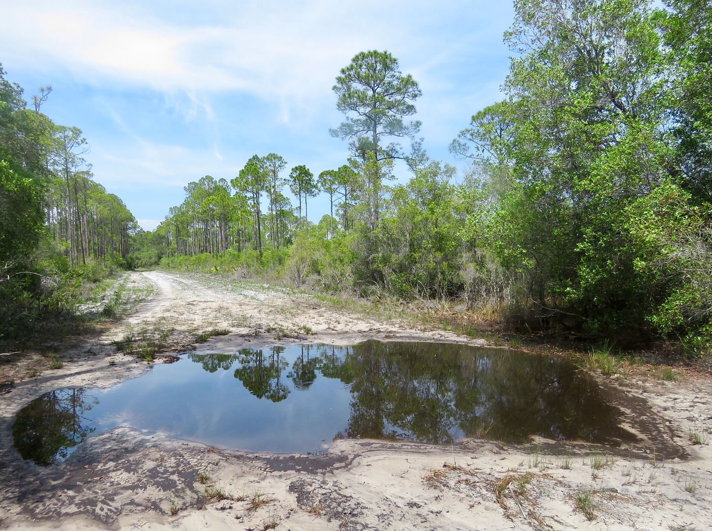
Eventually Sadie got so hot, she found some shade were she flopped down for a rest. John carried her for a while (is that crazy, or what?) but we also doused her coat with some water and, of course, had plenty of drinking water with us. After a rest, we continued along the trail where we encountered large puddles from creeks and rain.
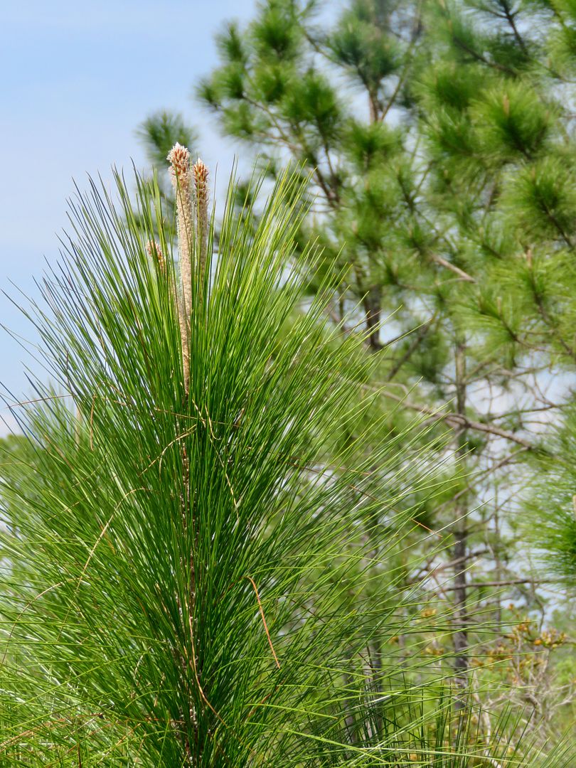
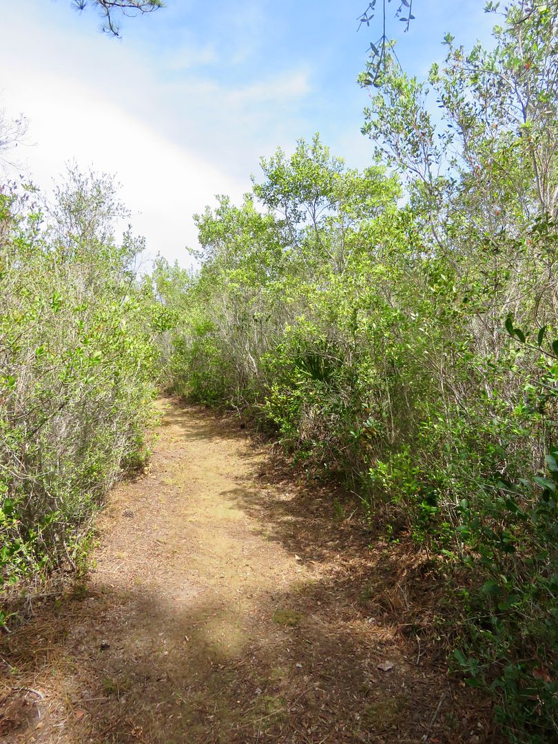
As we came to area where young longleaf pines were growing, the trail changed to a dirt path with dense vegetation. It was so much cooler here in the shade!

The East Loop has a spur trail that leads to a picnic table.
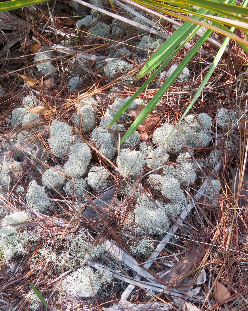
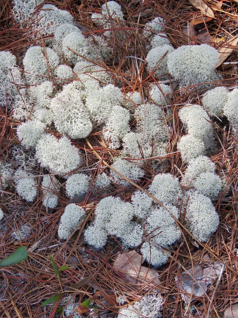
There were large mats of large puffy lichens, known as deer moss. The pale greenish gray plant is very slow-growing (this large area took decades to develop).

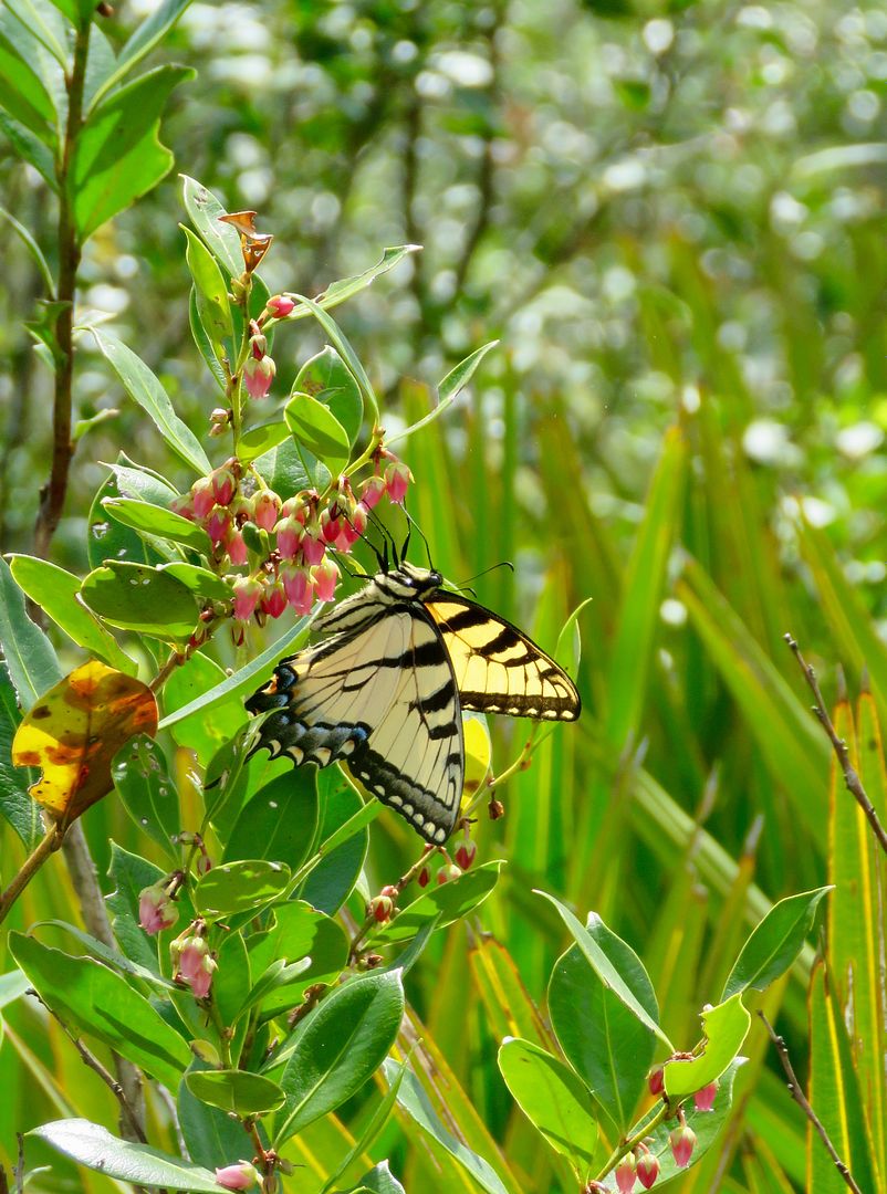
As we reached the end of the trail, I finally snapped a photo of a butterfly. We saw many different species of them flitting around, but they seemed to rarely be still long enough to get a picture.
Again, be sure to have bug spray, sunblock, and plenty of water when hiking on the High Bluff Coastal Trail! Bald eagles, Florida black bear, gopher tortoises, and red-cockaded woodpeckers reside in the forest, but, unfortunately, we did not see any.
Here is the local legend of how the first got its name.
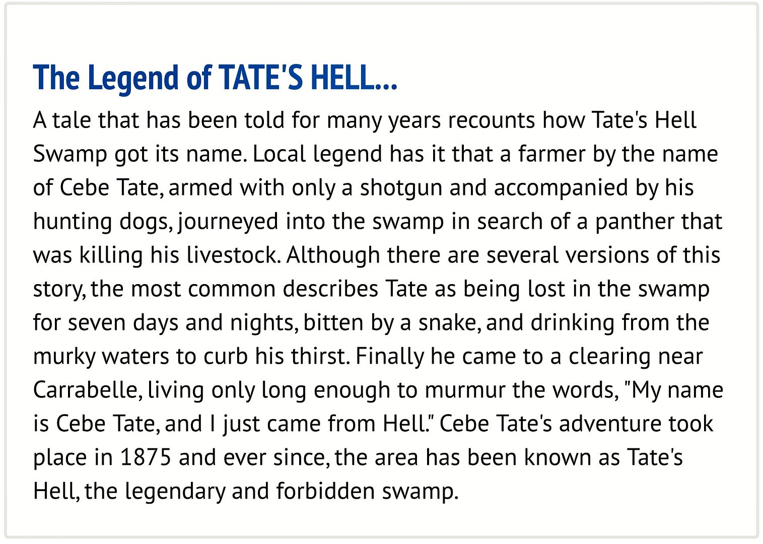
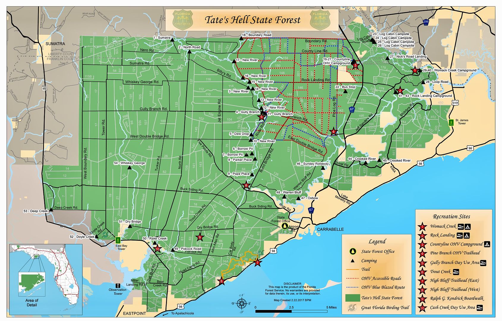
For additional information about Tate's Hell, go to this link www.freshfromflorida.com/Divisions-Offices/Florida-Forest-Service/Our-Forests/State-Forests/Tate-s-Hell-State-Forest.
No comments:
Post a Comment