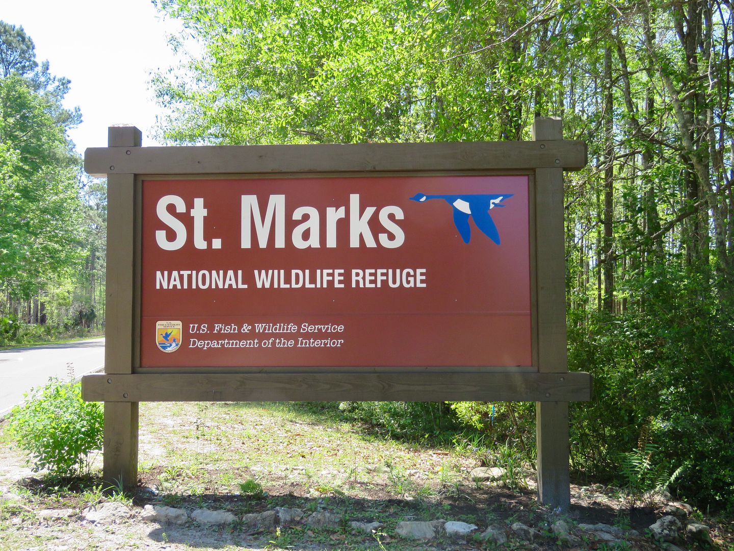
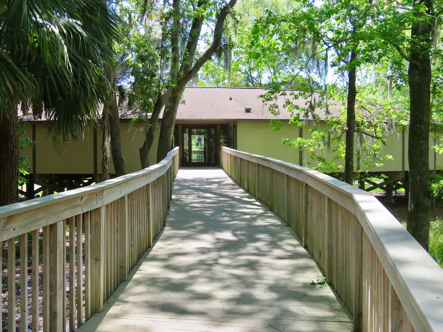
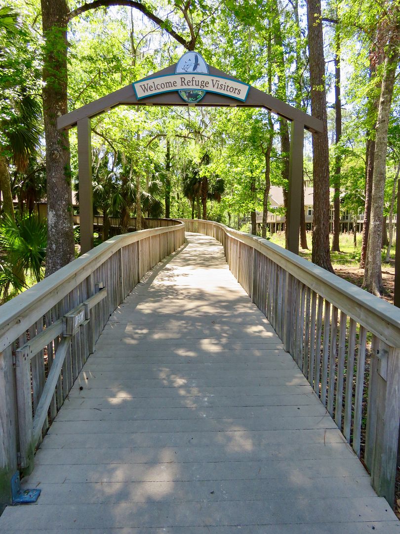
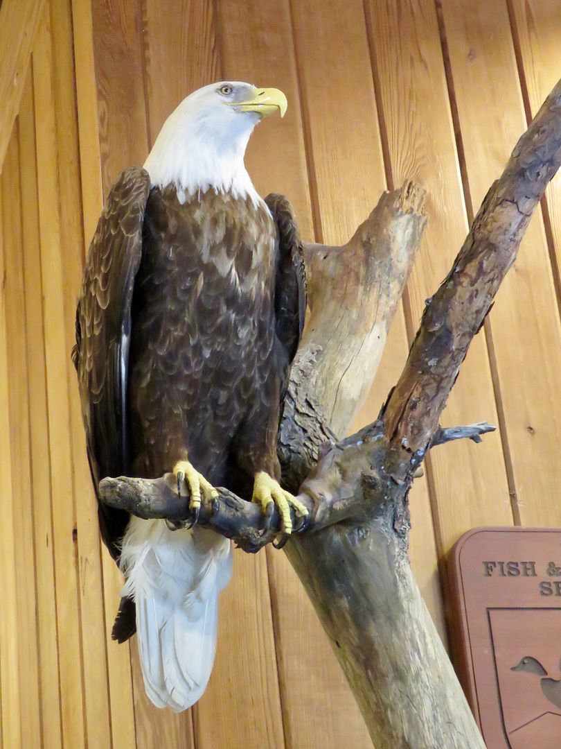
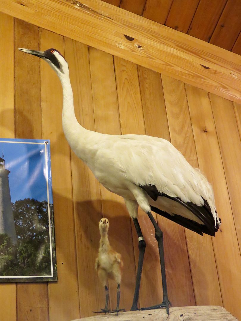
Although there are multiple access points to the refuge, most visitors come to the St. Marks Unit on Lighthouse Road. Our first stop, as always, was the Visitor Center where they are exhibits about the wildlife and refuge habitats as well as a gift shop.
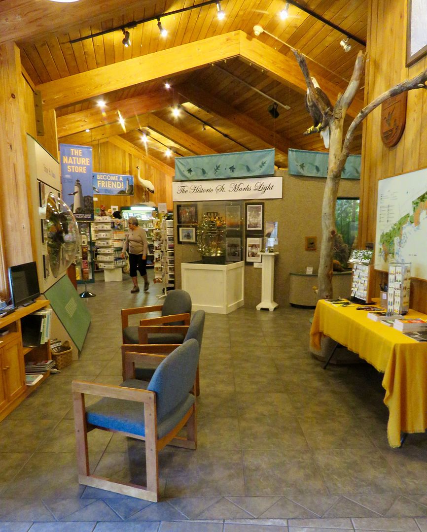

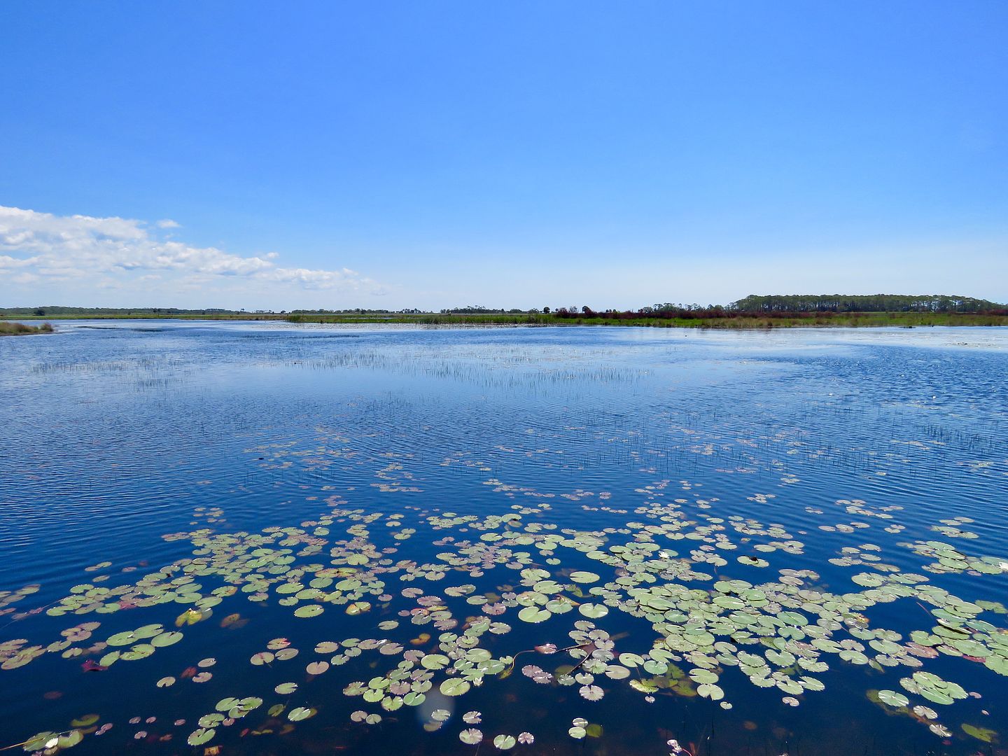
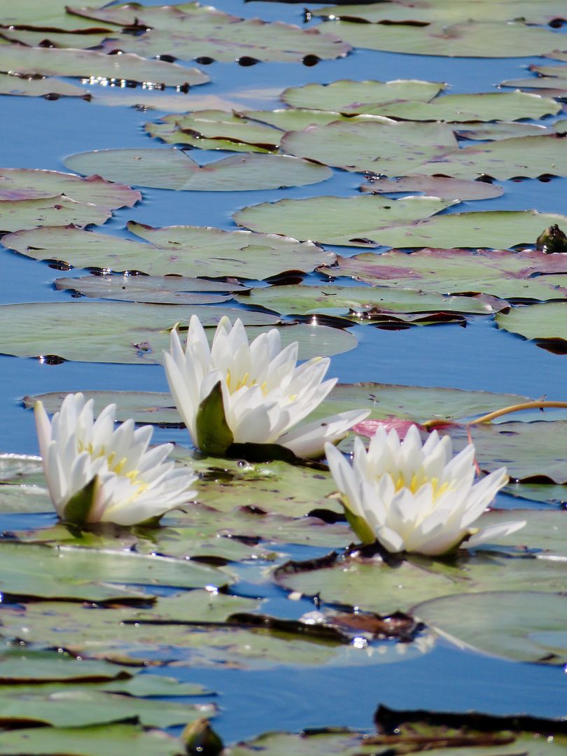
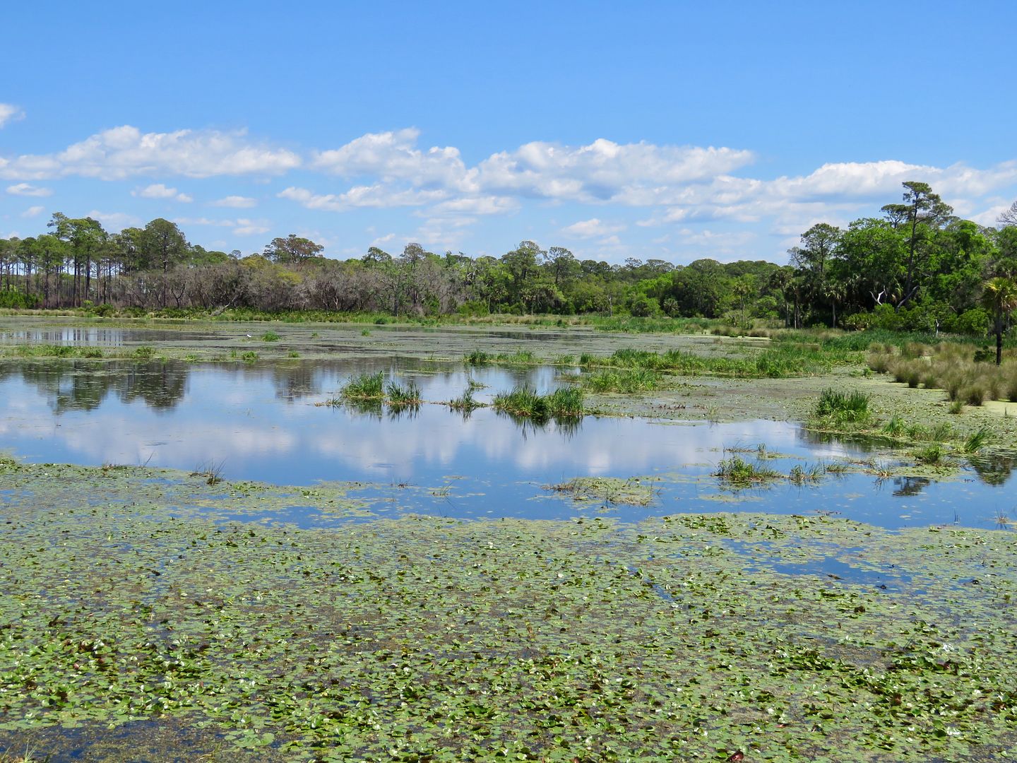
We picked up a brochure of the refuge as well as a map to figure out which trails we would hike. Dogs are permitted on leash, so we knew this day was going to be a fun adventure for all three of us! Our first stop was at Mounds Pond #2. There were water lilies in this pond as well as most of the others, too.

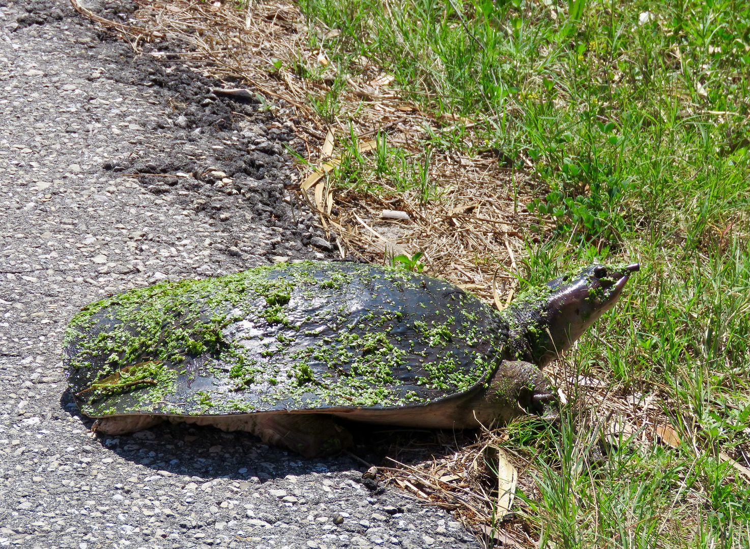
As we continued down Lighthouse Road we spotted this turtle crossing the road. He promptly continued along his path and disappeared into the pond.
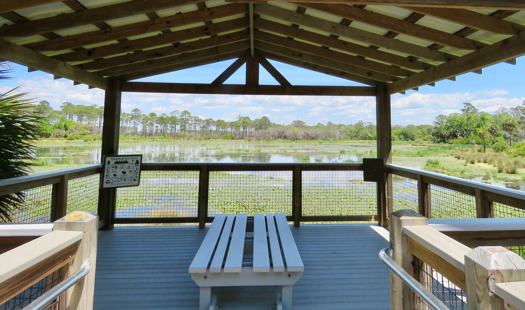
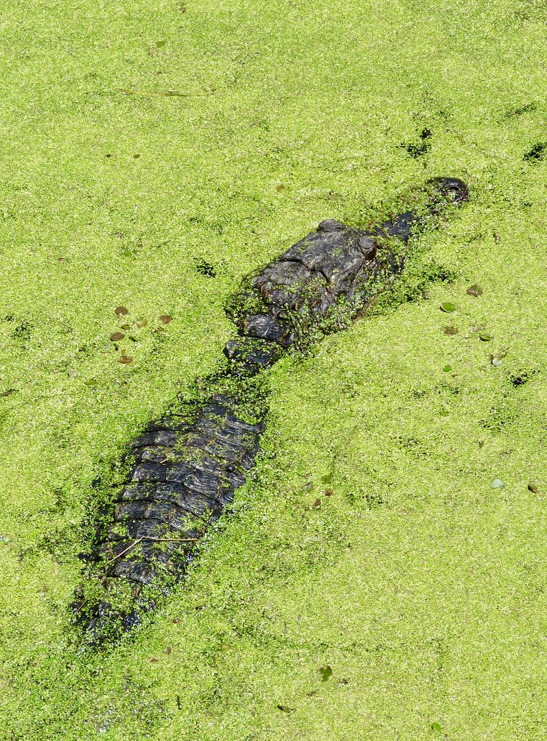
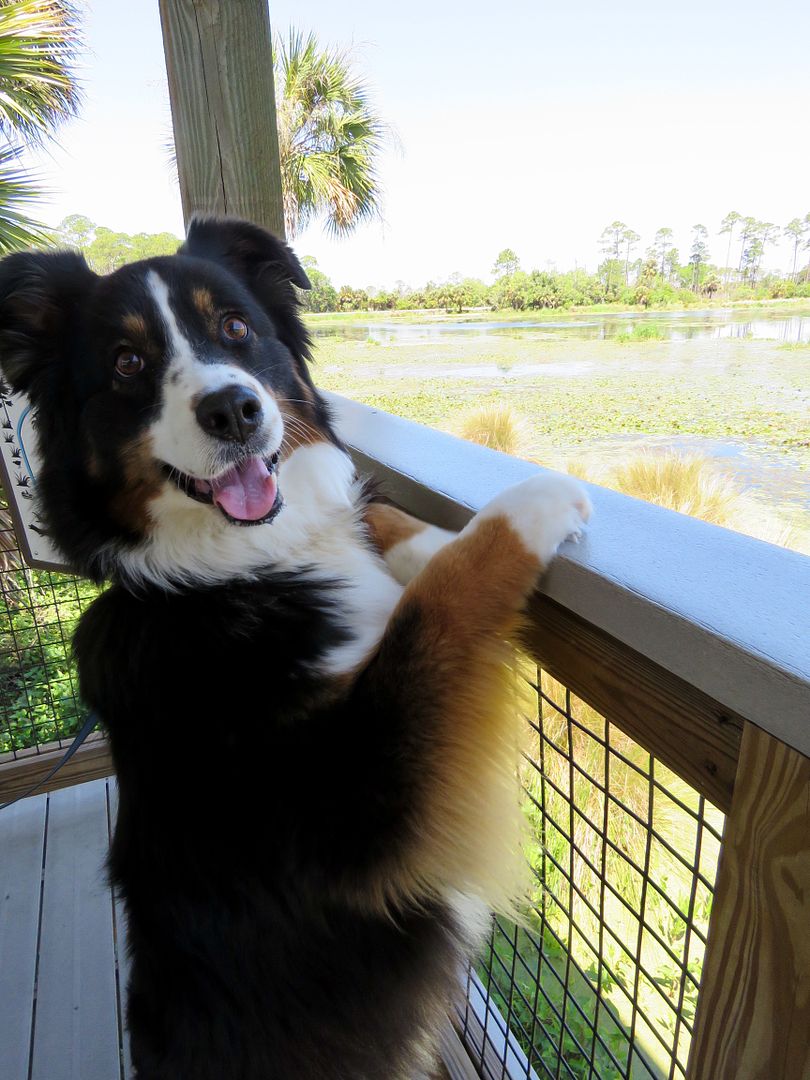
There is a 1/4 mile accessible trail to an observation deck overlooking Headquarters Pond Trail. This is where we saw the first alligator of the day, a large one in the green algae of the pond. Our sweet doggie, Sadie, also had fun checking out the sights here!
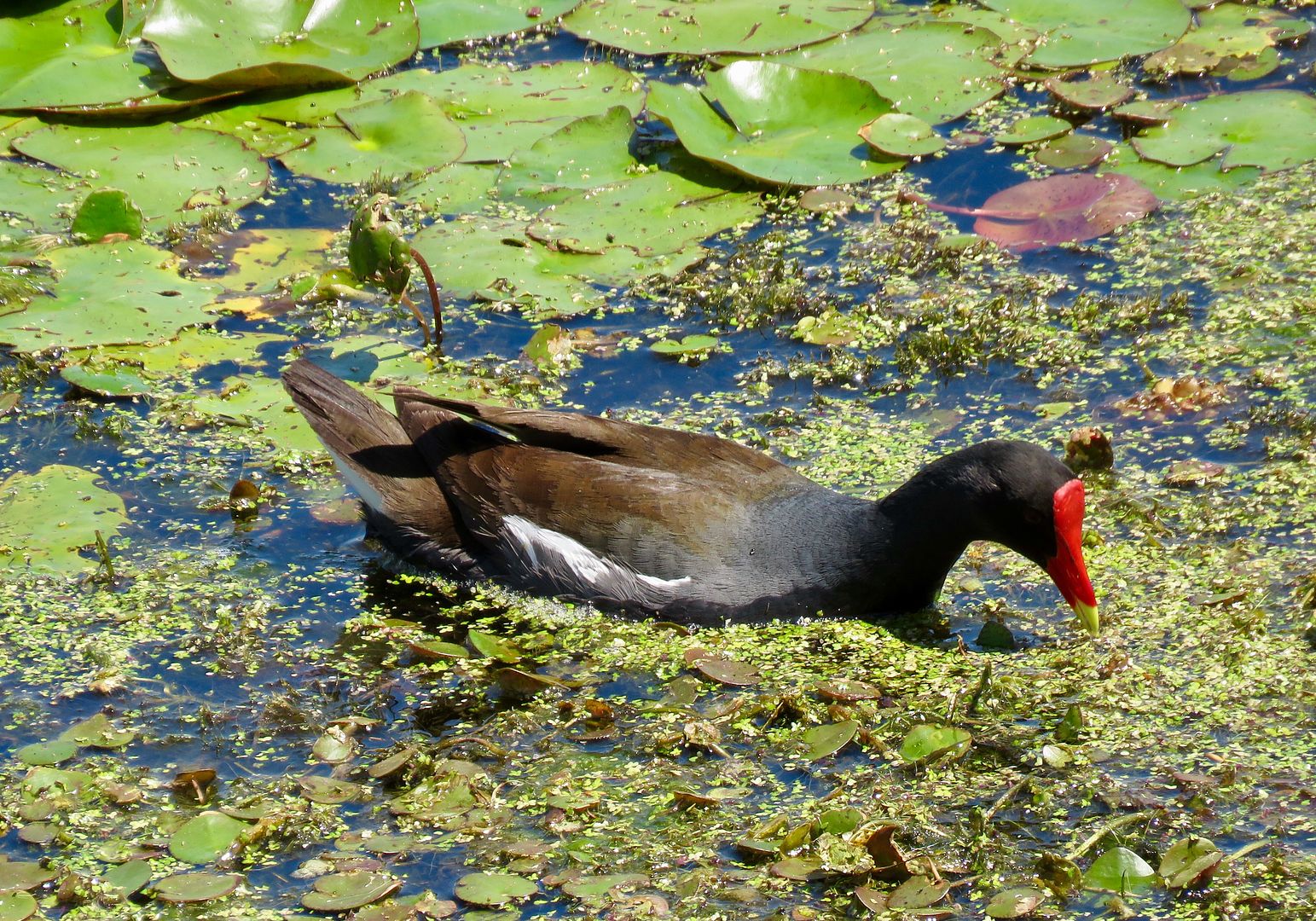
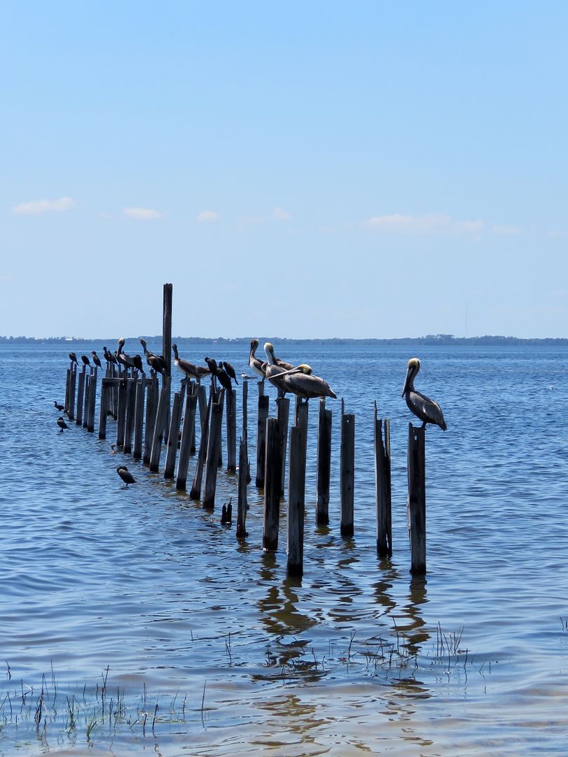
There were Common Moorhens swimming in this pond. Their bright colored beaks are pretty amazing! More than 300 species of birds have been seen in the refuge and 98 nest here. Nineteen of them are ducks and two species of geese.
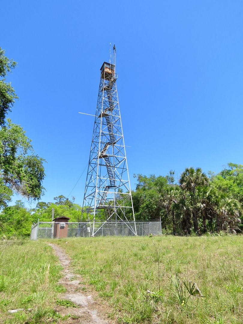
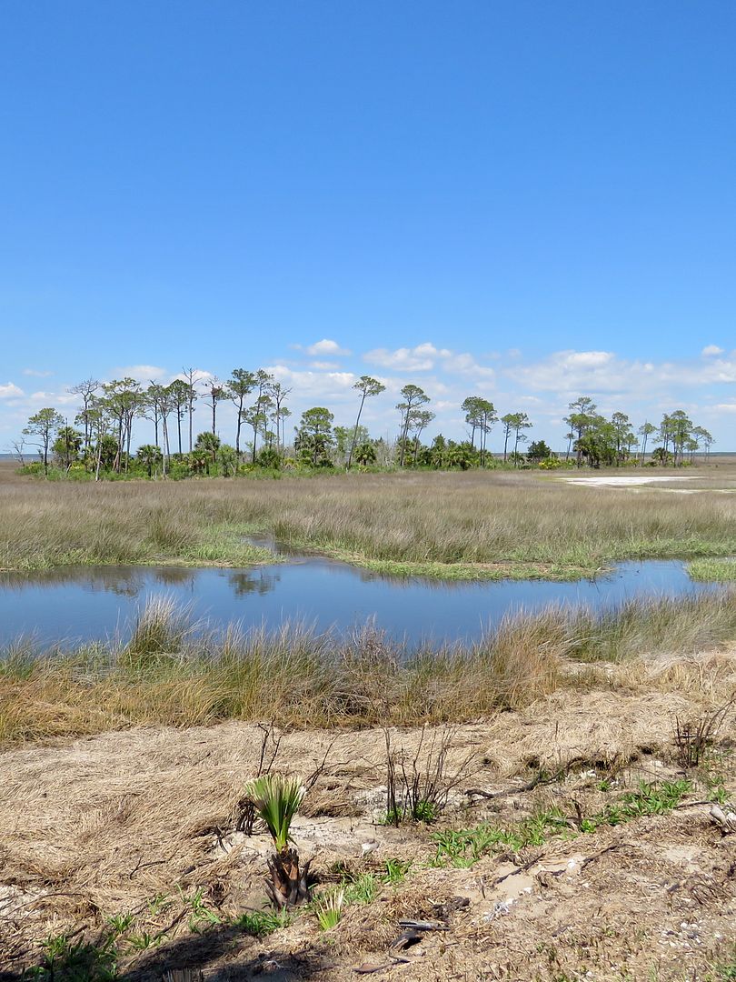
The Mounds Trail around Mounds Pond is an area that has been used since prehistoric times by Paleo-Indians (40 sites have been found near here). The refuge protects many sites of the Archaic Period as well including some burial sites. The modern-day fire tower was built on a shell midden.
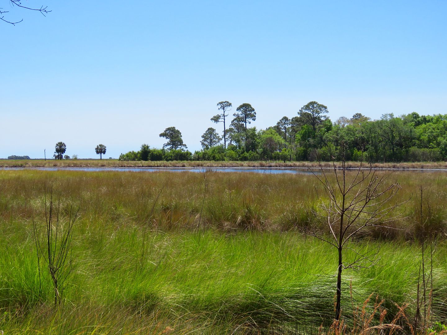
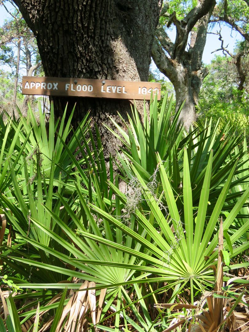
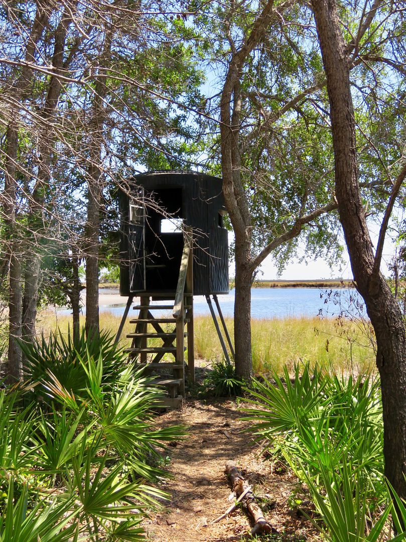
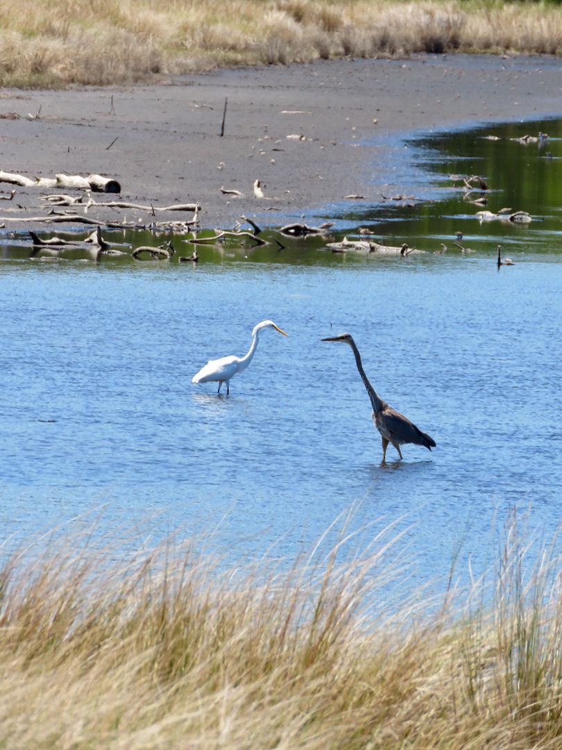
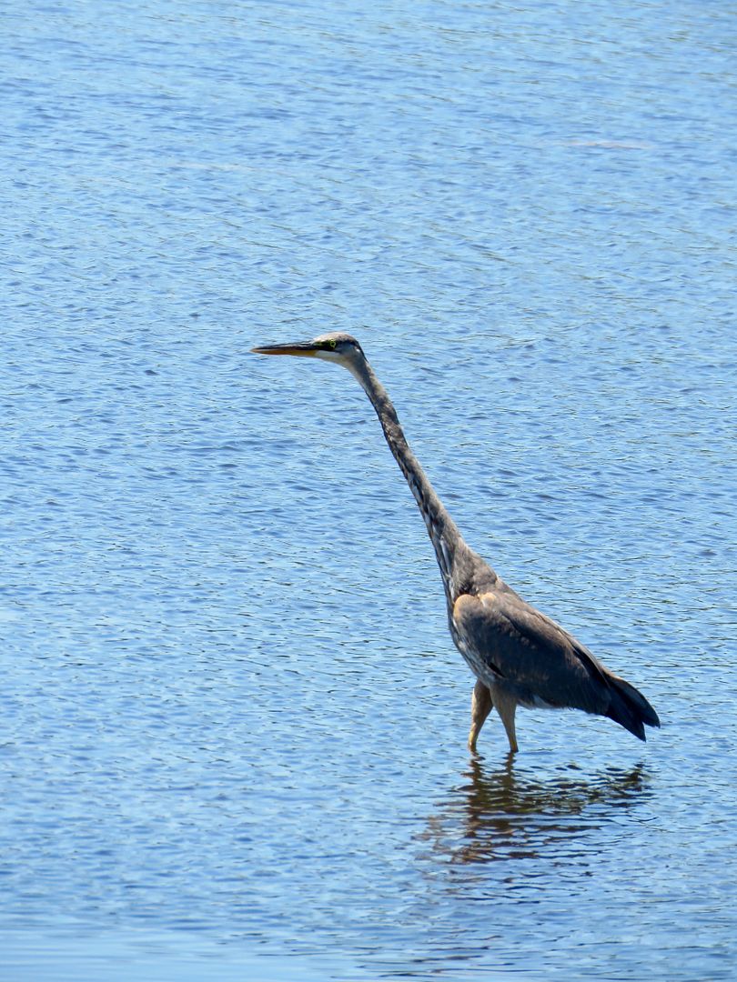
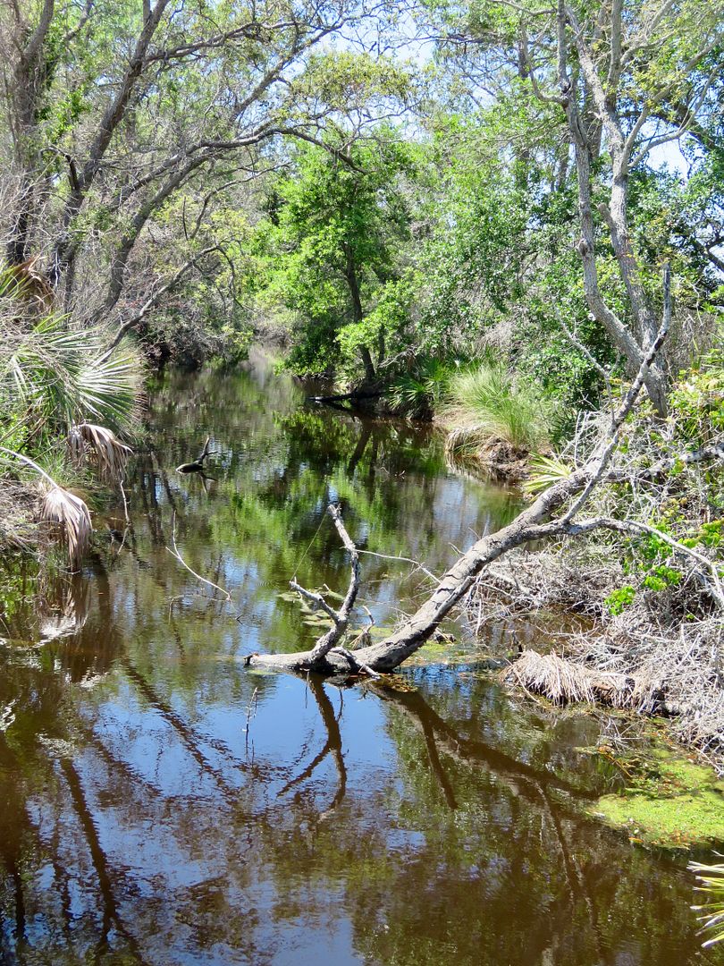
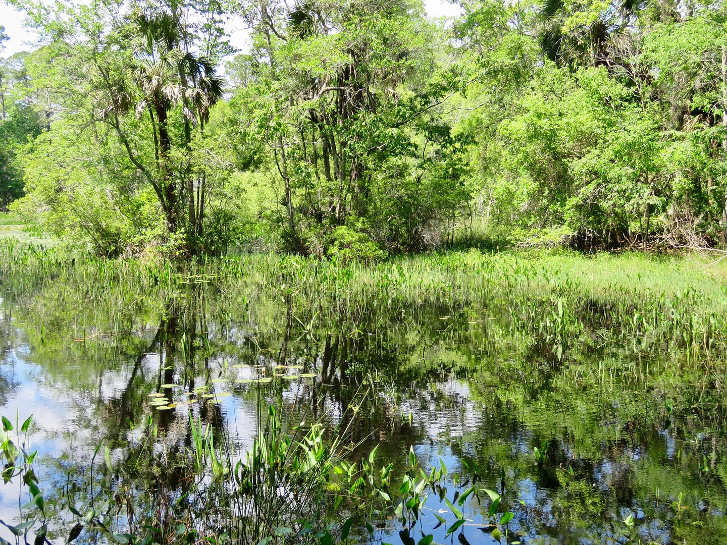
Five miles south of the Visitor Center is the Tower Pond Trail. It starts next to the parking lot where the restrooms can be found. The one-mile trail winds through slash pine forests, oak hammocks, and salt marsh around the pond. A sign marking the flood level in 1843 is posted on a tree near the pond. And a photo blind provides excellent views of the birds


Migratory shorebirds, songbirds, ducks and wading birds can be usually be seen here.

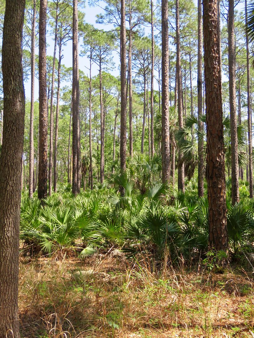
Approximately 90 million acres of longleaf pine forests could be found on the Coastal Plan from Southern Virginia to east Texas and down Florida's peninsula. This area was used to produce turpentine. The trees produced for a few years and then were logged for the timber (or abandoned). NC was the primary turpentine producer for many years, but heavy exploitation of the Florida pinelands continued until the late 1800s. Today only 3 million acres of old growth longlife pine forest survive.


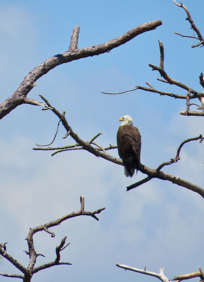
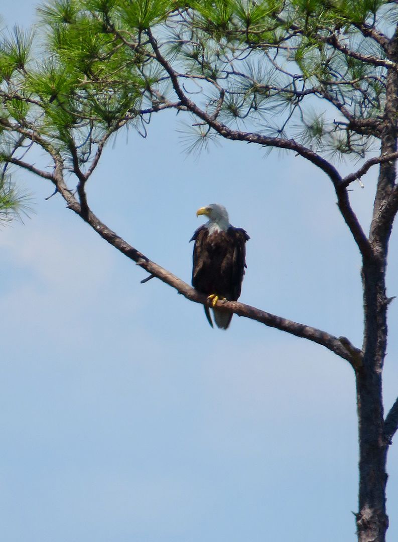
Continuing south to St. Marks Lighthouse, we stopped along the side of the road when we spotted these majestic eagles, two of them near their large nest. A third one perched in a nearby tree.

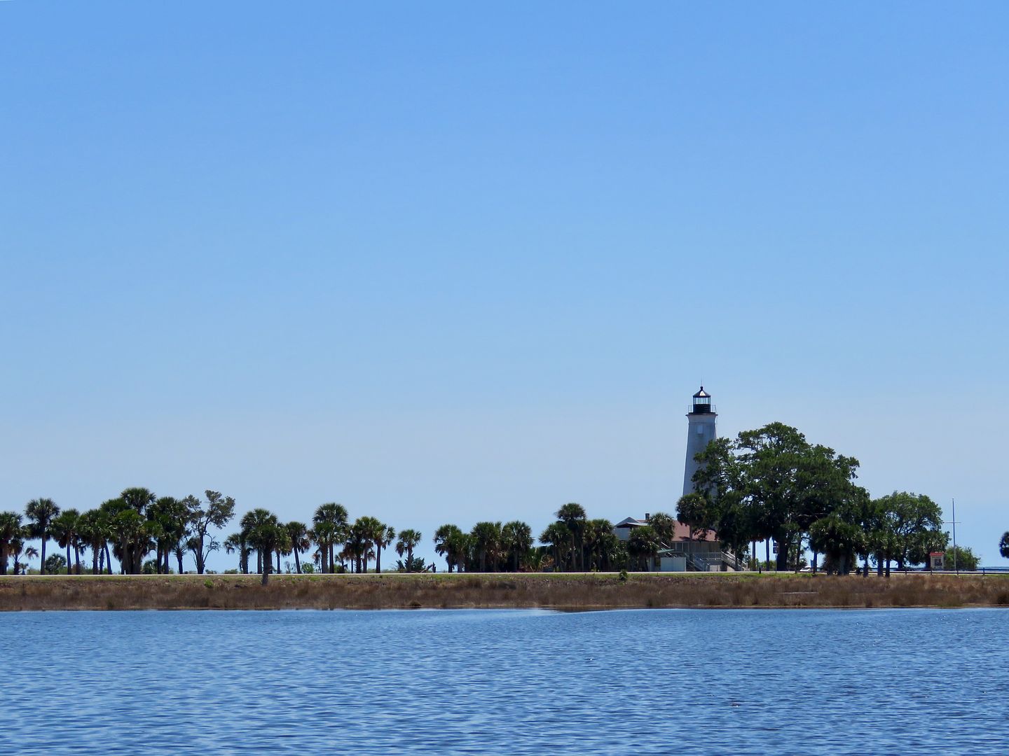
St. Marks Lighthouse has provided navigational aid to the entrance of the St. Marks River since 1831. The fresnel lens with a 1,000-watt light is visible 19 miles offshore. During the Civil War the lens was removed and hidden in the swamp from Union forces. It is 82' tall and built of brick and mortar. The lighthouse was automated in 1960 and in 2000 the electric light was replaced with an exterior solar-powered white light. It has withstood hurricanes and severe weather for over 185 years! It continues to be operated by the US Coast Guard.
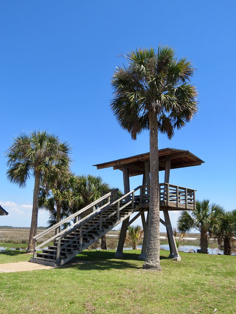
An observation deck is located next to the lighthouse providing an expansive view of the area.

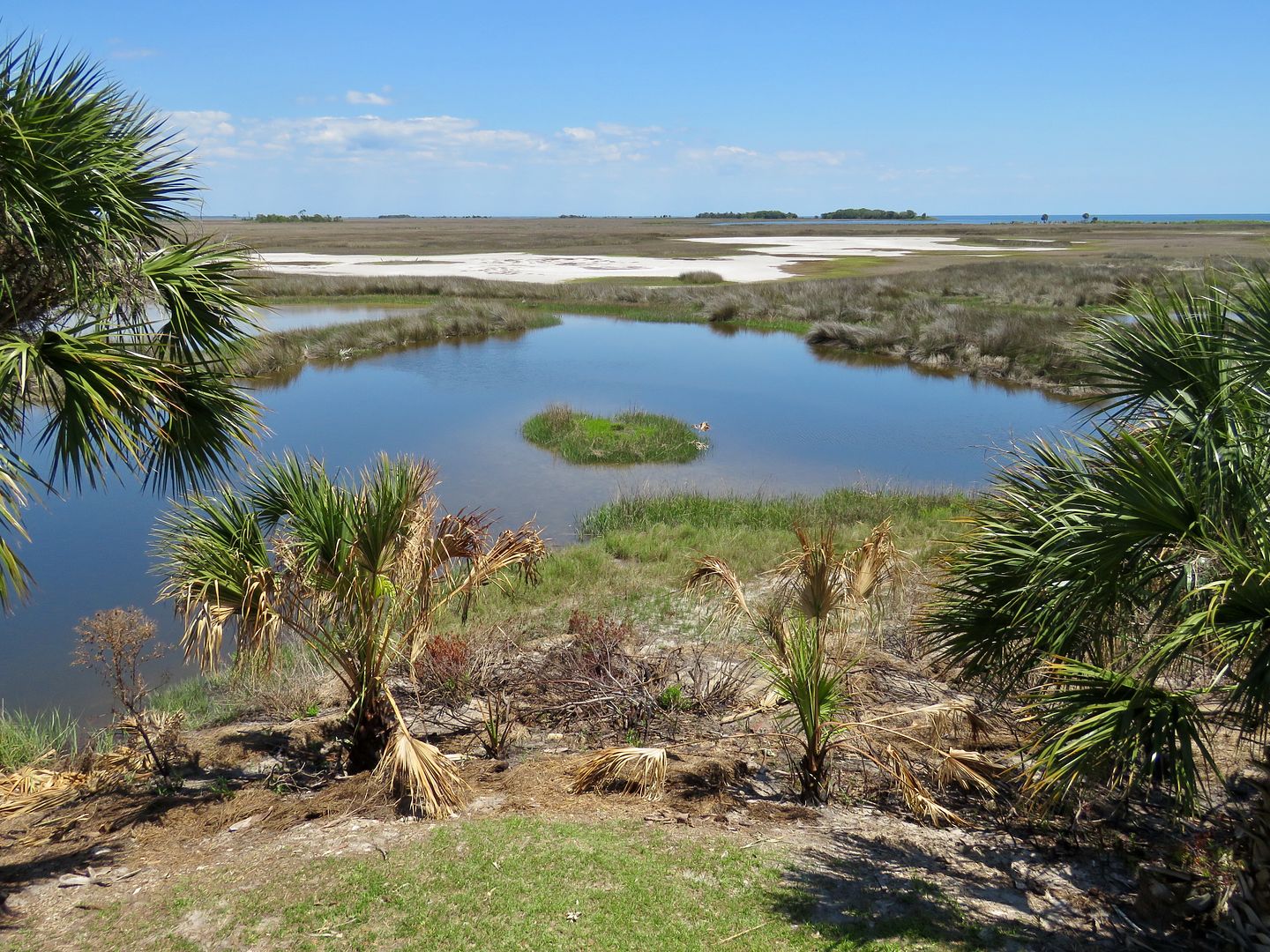
The Lighthouse Levee Trail (1/2 mile each way) is located near the parking lot here and runs between the narrow strip of land between the Gulf of Mexico and the Lighthouse Pond

Our sweet doggie, Sadie, was so hot after hiking, that as soon as she saw the Gulf, she walked right into the water and laid down to cool off!

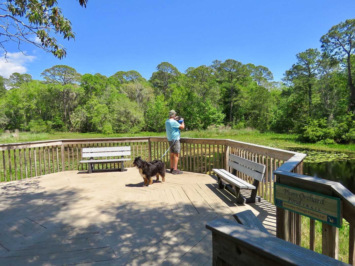
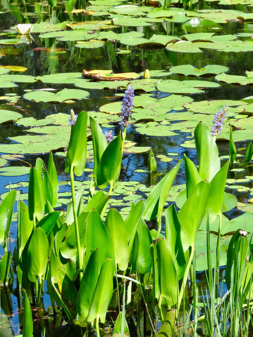
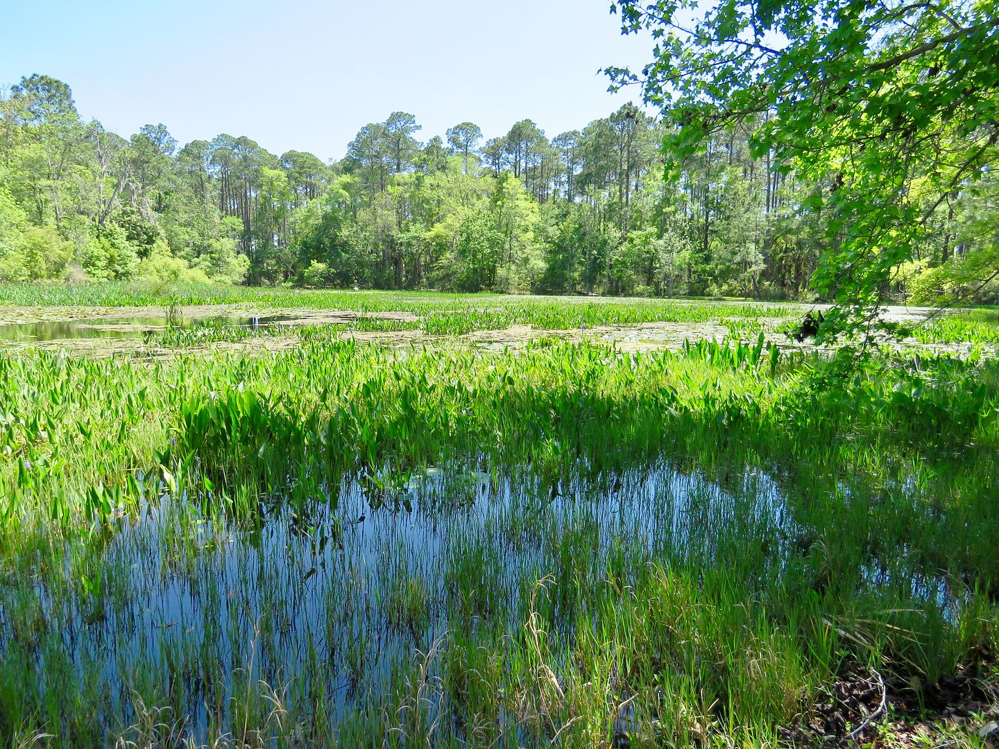
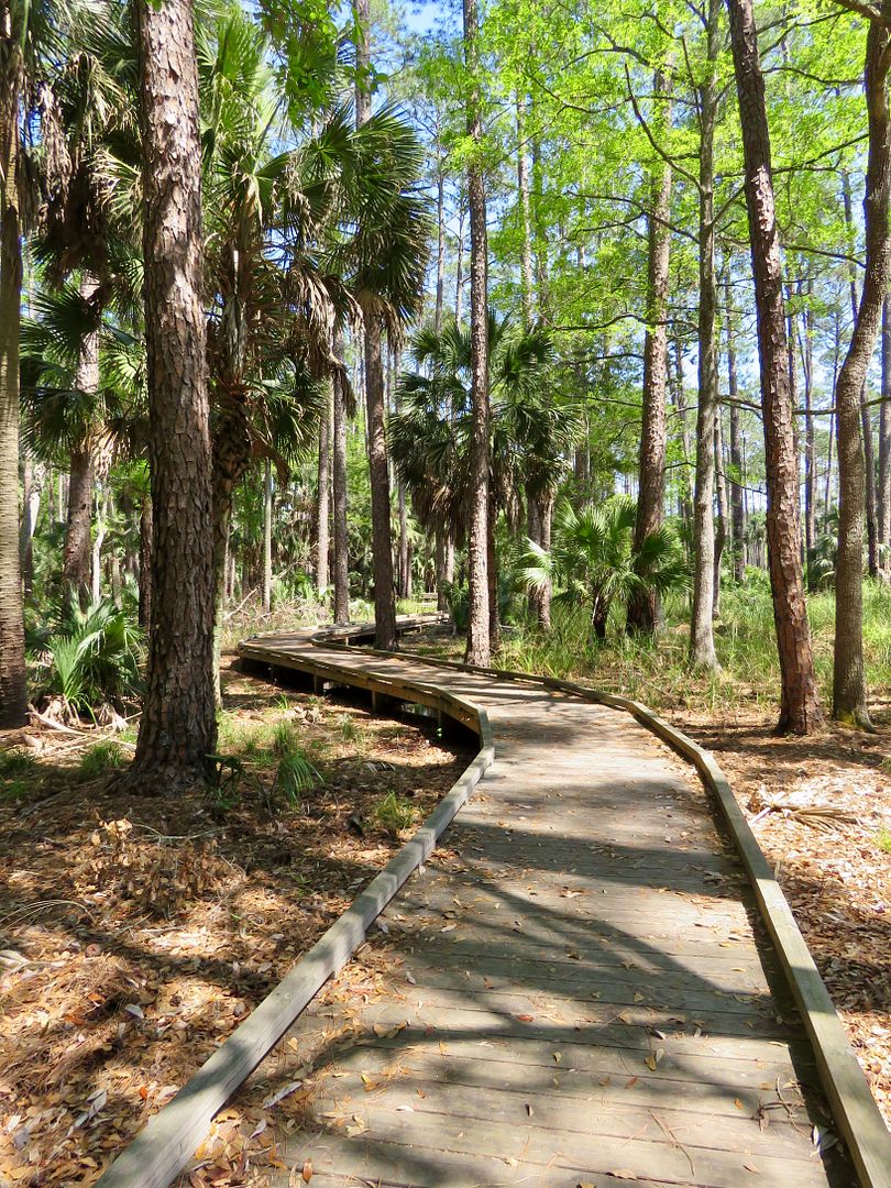
We returned to the Visitor Center along Lighthouse Road to check out Plum Orchard Pond Trail. It is an easy 1/3 mile hike that starts behind the deck of the Visitor Center. The lovely pickerel weed grows in shallow freshwater streams and swamps.

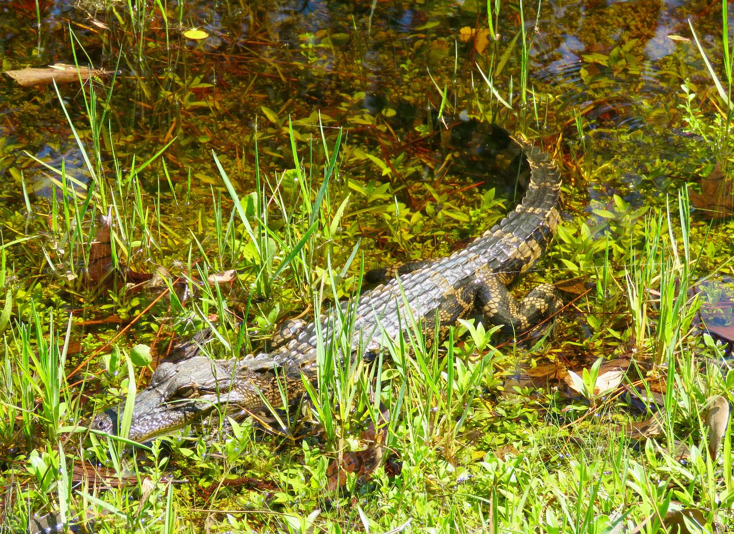
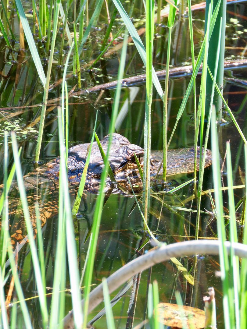
While walking along the banks of the pond, we came across this small alligator.
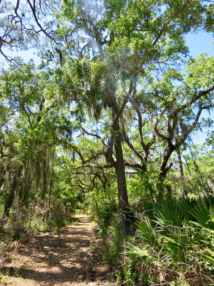
Part of the trail is boardwalk over both wet and dry sections of the trail around the pond.

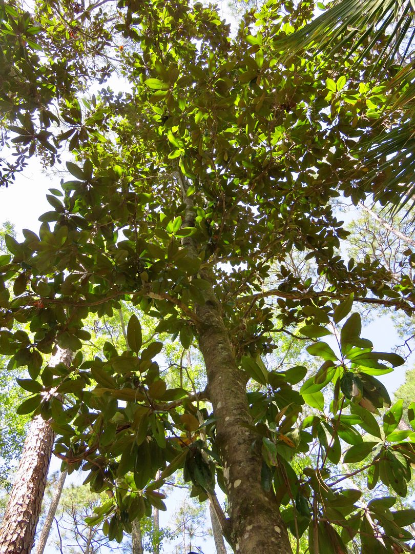
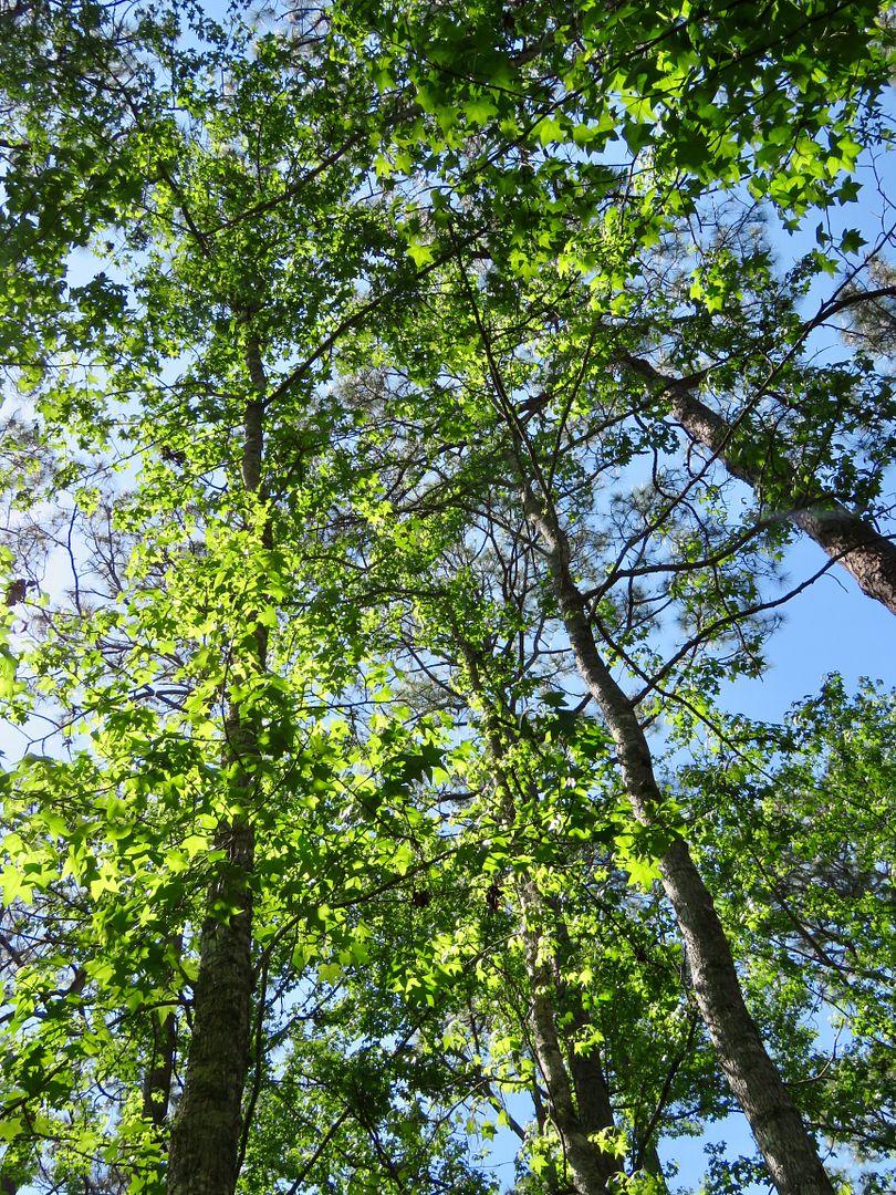
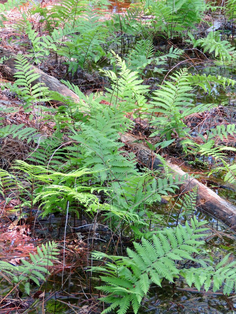
Below is a magnolia tree and a sweetgum tree, both common to this part of Florida, as well as some delicate ferns and another small alligator
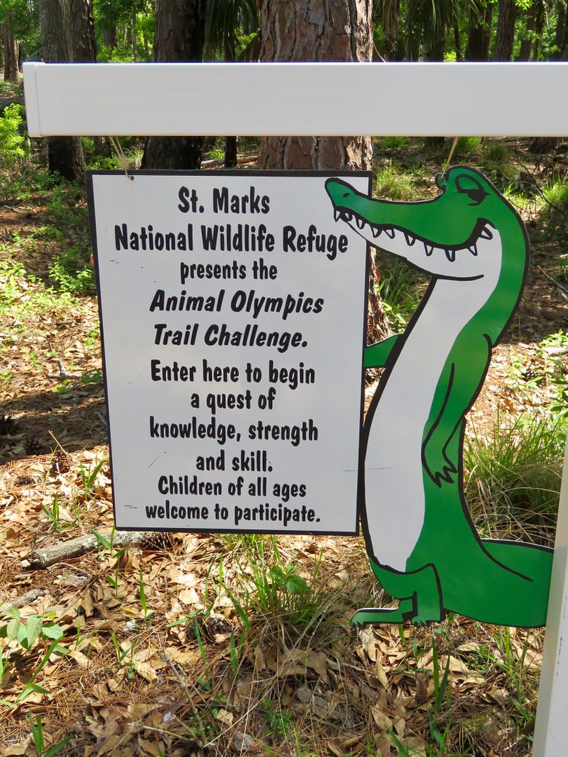
Our final stop was at the Memorial Falls Garden. Along with the plants here, there is the "Animal Olympics Trail Challenge" for kids of all ages. One of the challenges is to stand on one foot and count to 100. Birds do this to regulate their body temperature. Of course, I made John try it!


We really loved this National Wildlife Refuge and is one of the nicest we have visited thus far. There were lots of nice trails and wide diversity of habitats. I highly recommend a visit if you are in the area. There are other parts of the large refuge, but most of the land-based activities can be found here. Check out their website for additional information at www.fws.gov/refuge/st_marks.
No comments:
Post a Comment