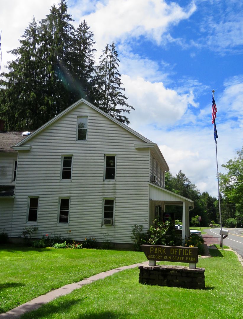
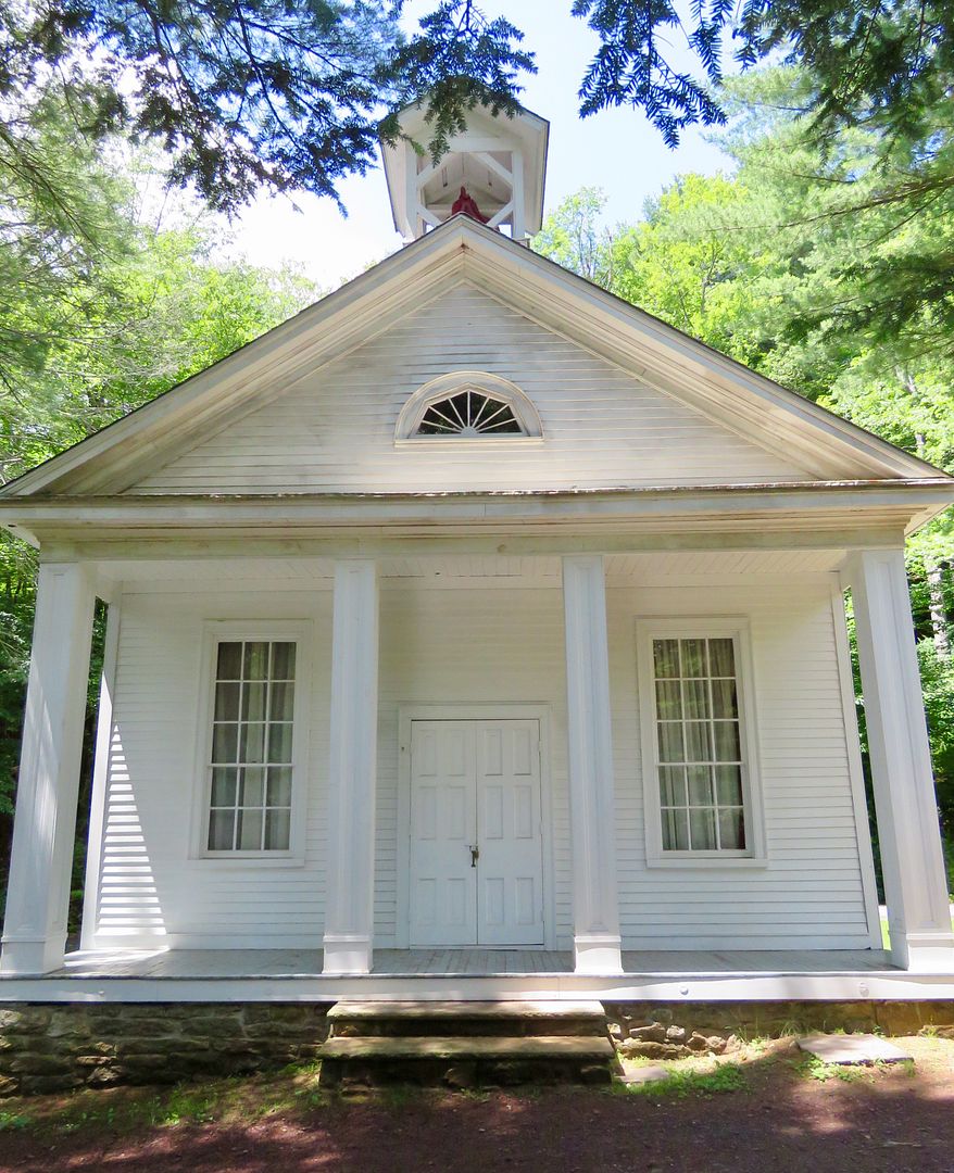
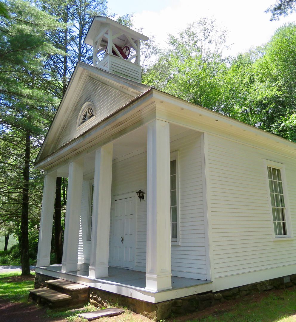
Our first stop was the Park Office where we picked up a map and got some good advice from the rangers on hiking trails. It is located in a house that was part of the old town of Hickory Run. Across the street (and stream) is the chapel that dates to the original town here.

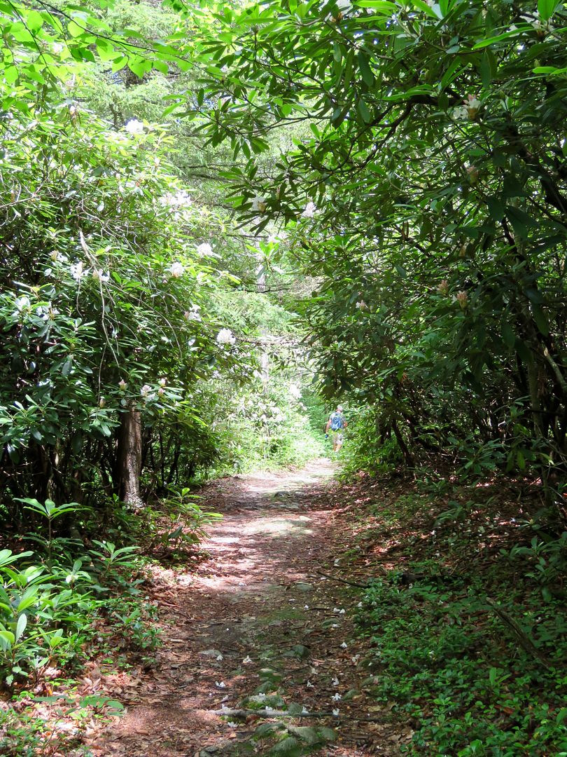
The land of Hickory Run was claimed by the Lenni Lenape, Susquehannock, and Iroquois Nation. The first colonists called the area, "Shades of Death" due to the dark forests, swamps, and rocky soil. We were told the Shades of Death Trail is one of the most picturesque in the park. It is accessible from the parking area at the Park Office.
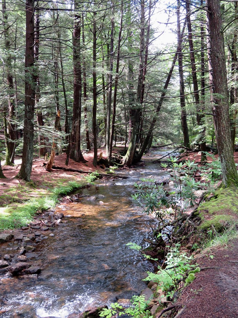
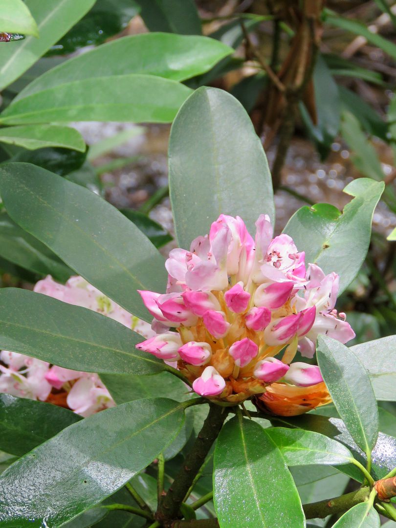
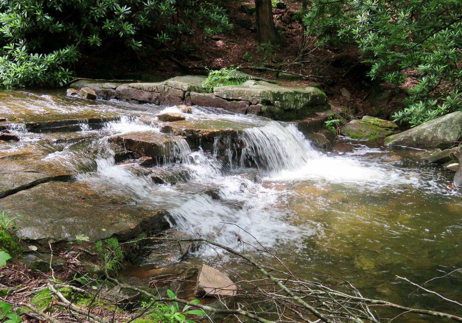
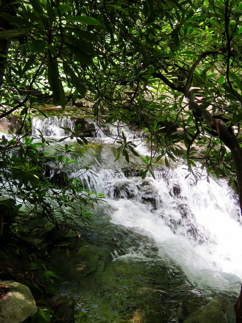
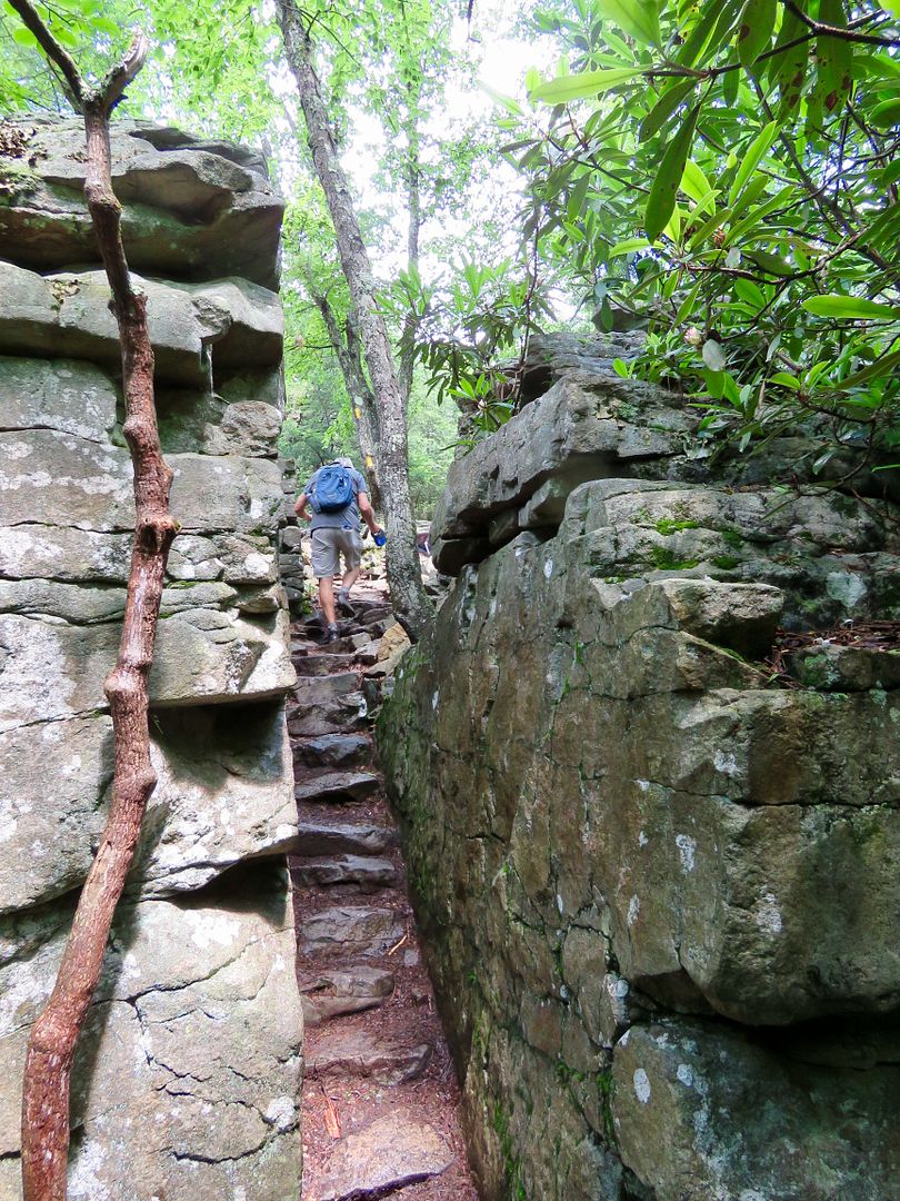
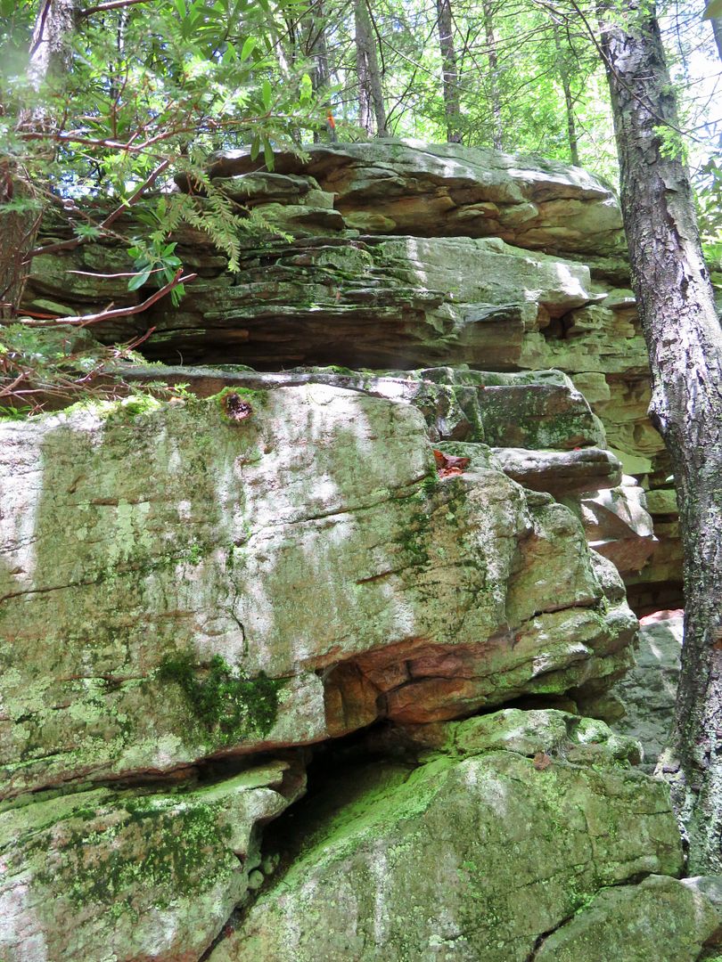
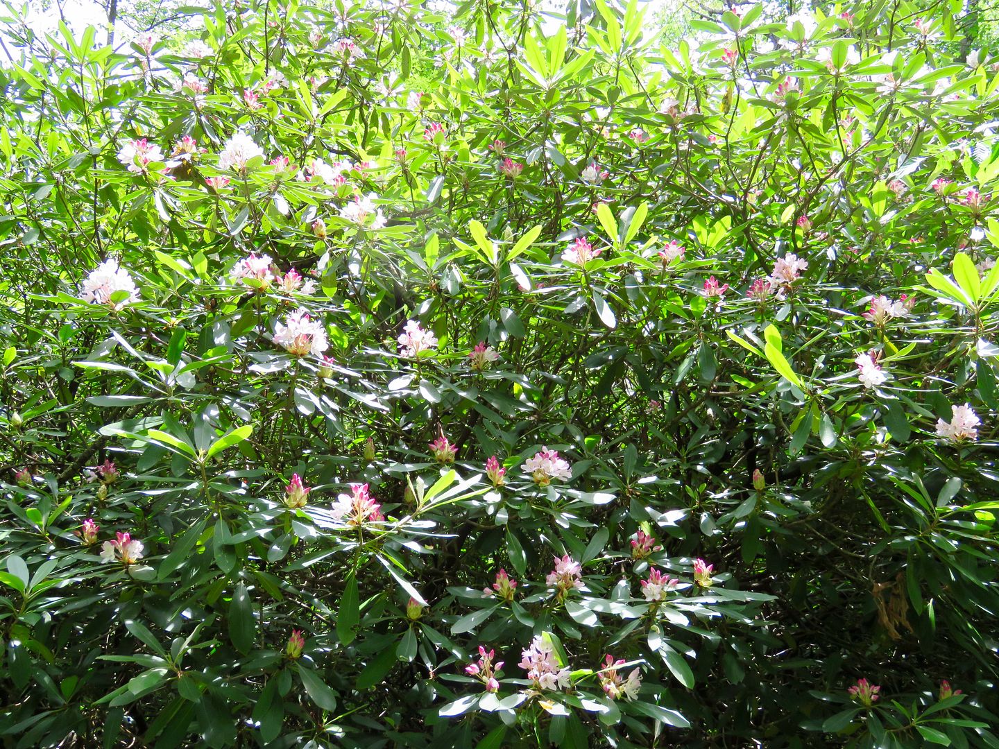
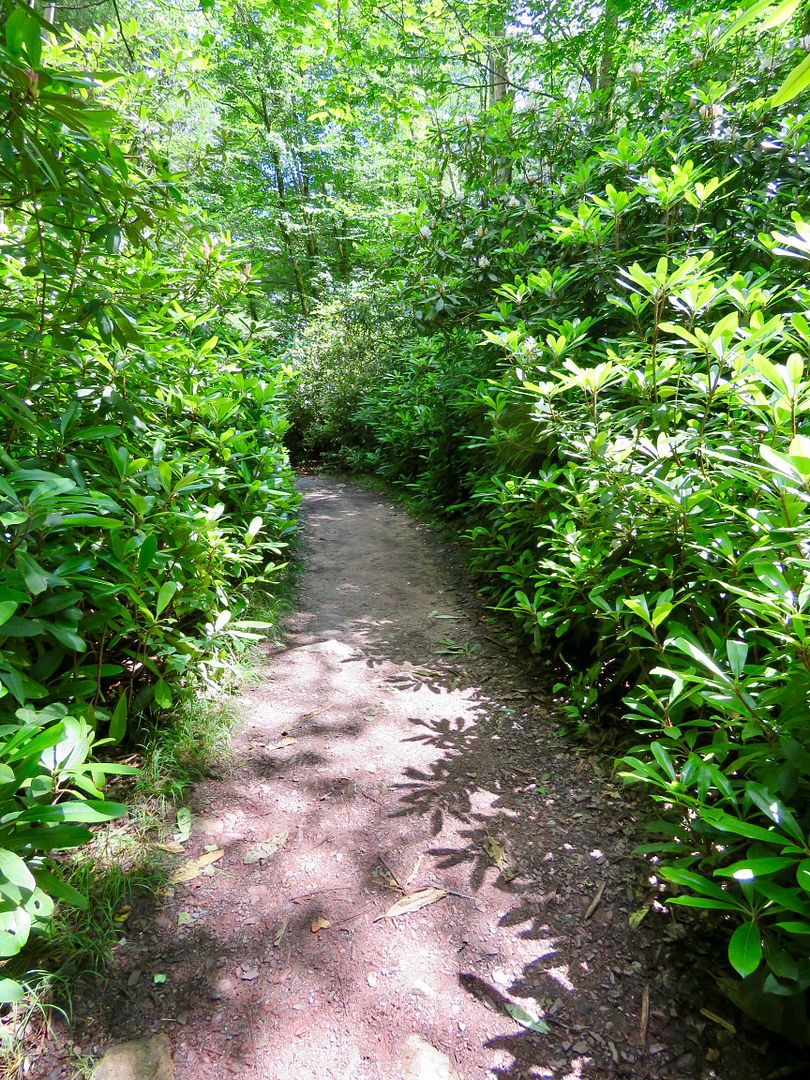
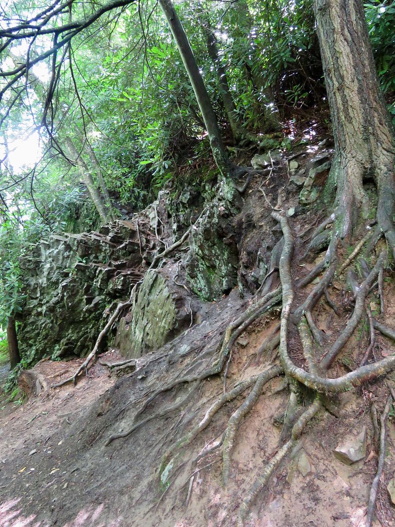
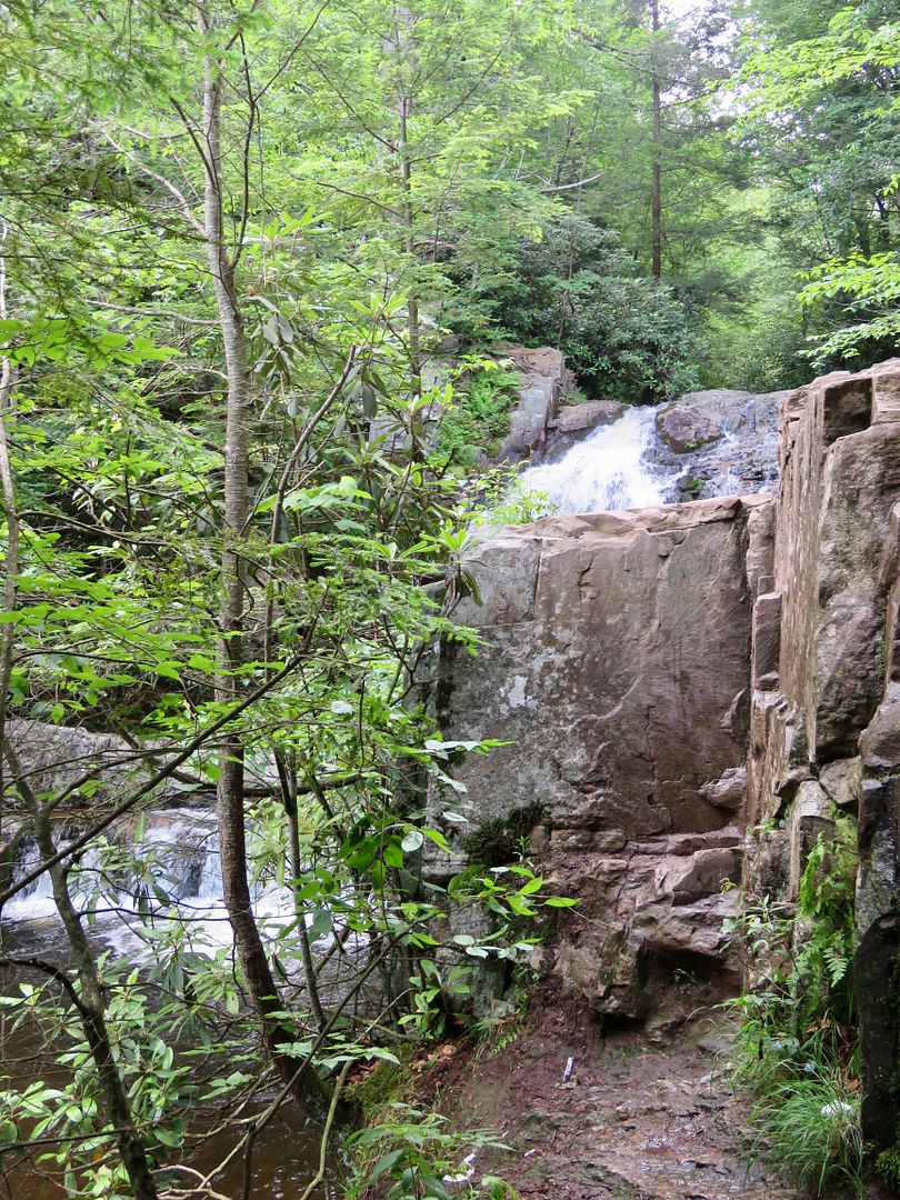
Rated "most difficult," the trail follows the Sand Spring Run and features stunning rhododendrons and unique rock formations. In this area, the stream bed is primarily rock.
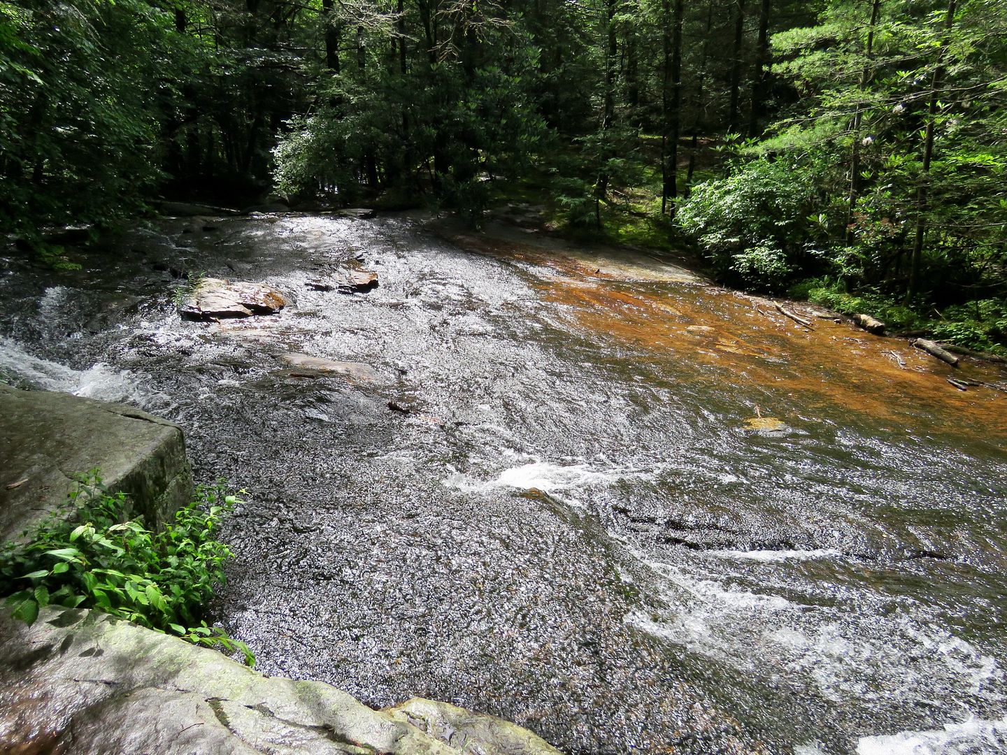
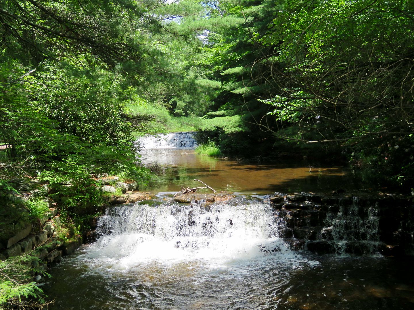
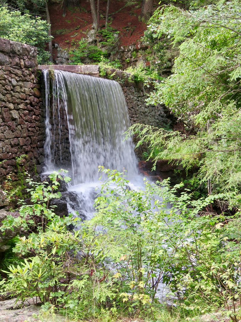
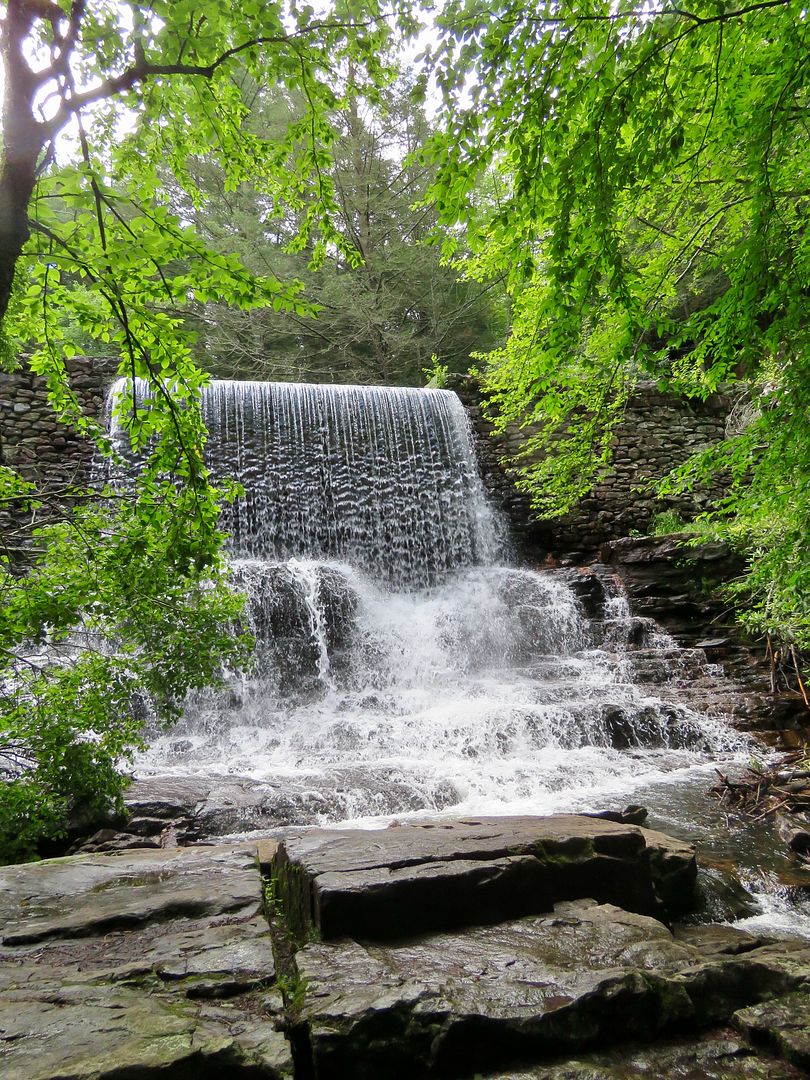
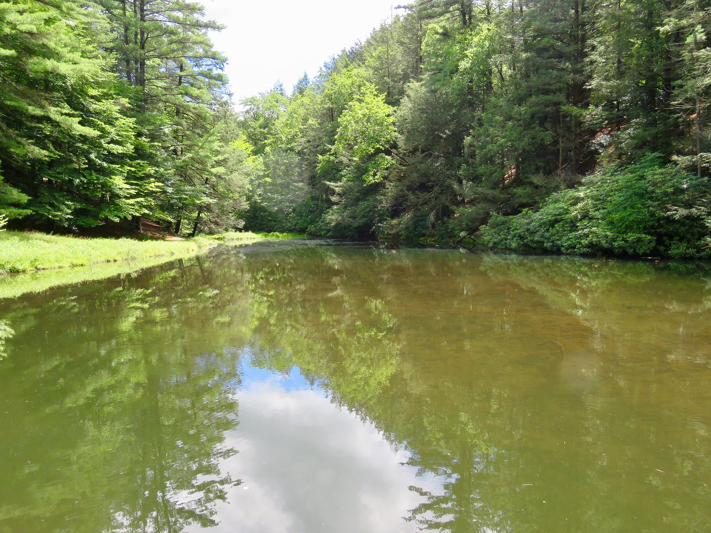
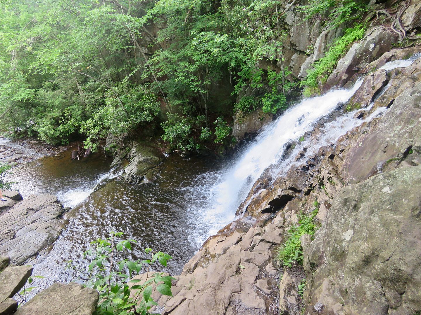
Stametz Dam was built around 1875 on Sand Spring Run. Also shown is the pond above the dam.
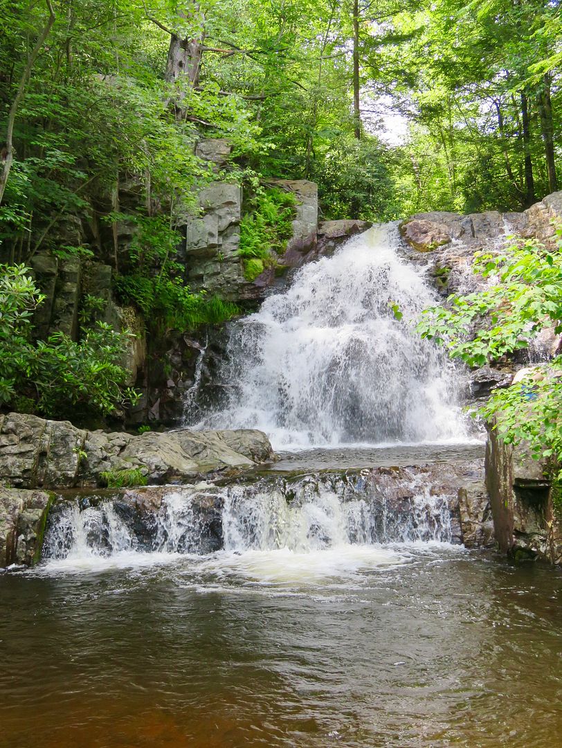
The rushing stream and rocky terrain along the trail make for an enjoyable, although a bit strenuous, 1.5 mile hike. Our sweet doggie, Sadie, always enjoys the opportunity to cool off in a mountain stream!
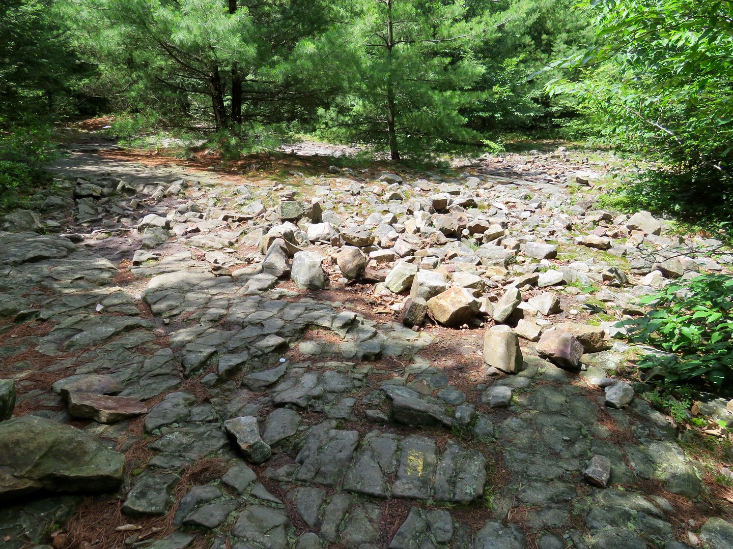

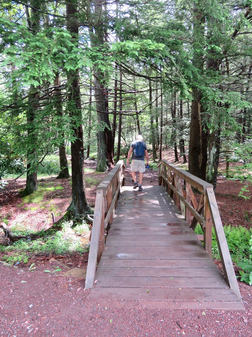
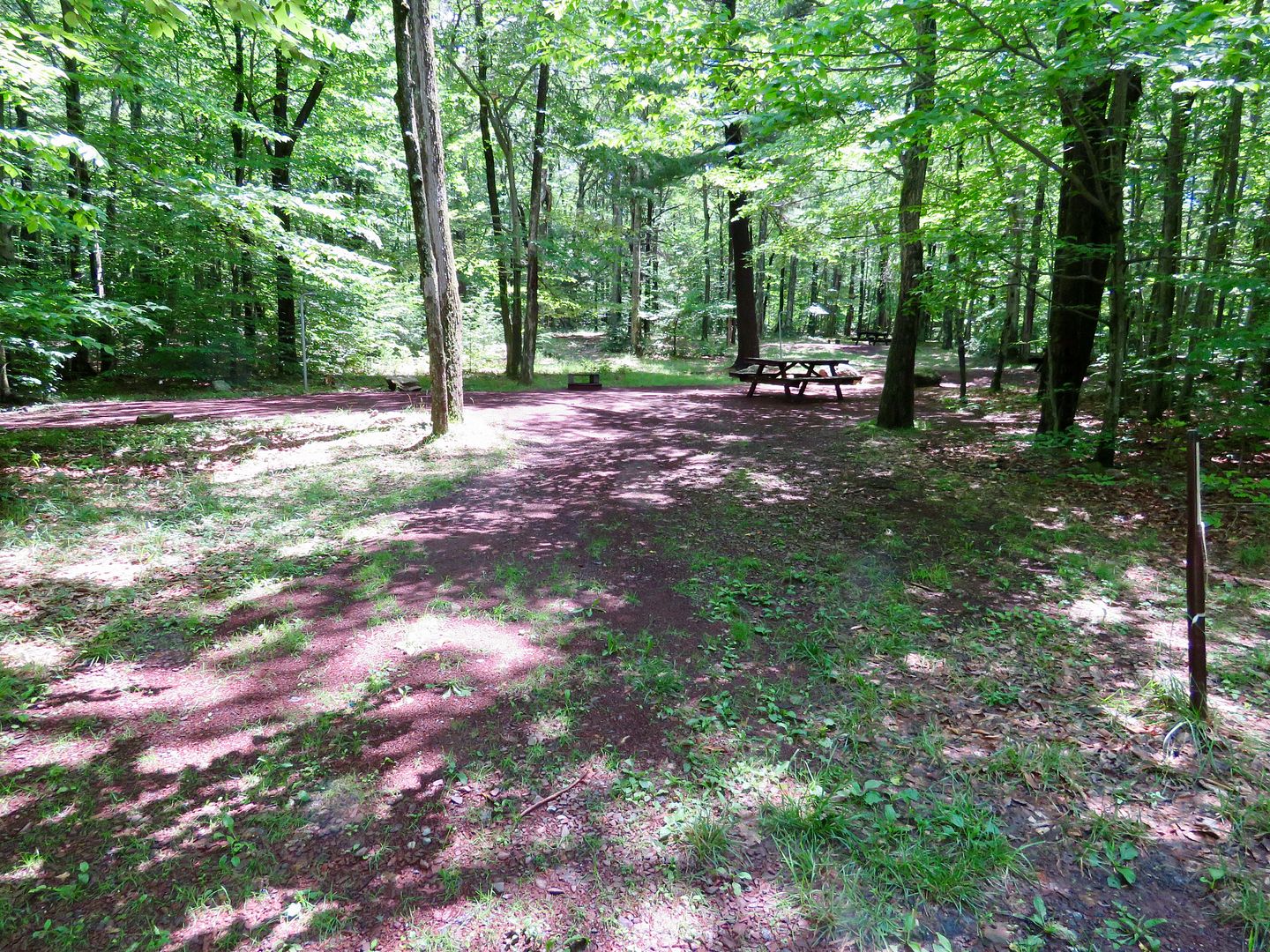
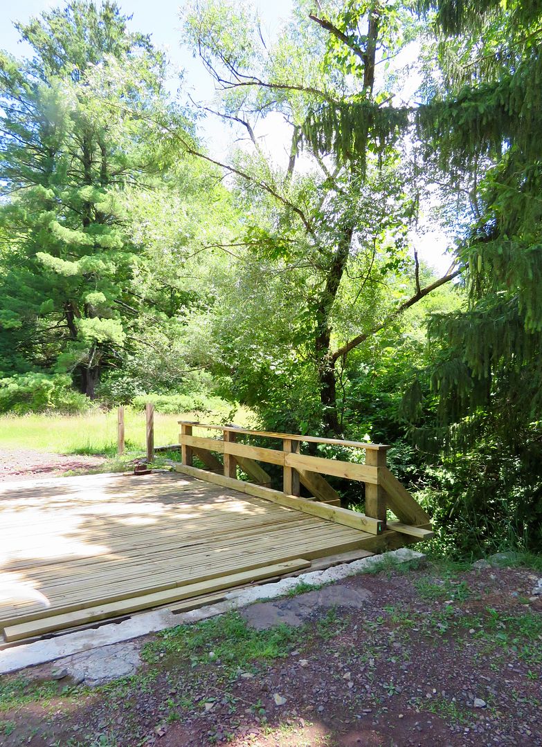
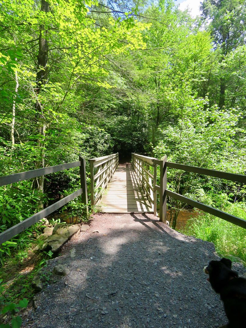
When we reached the end of the Shadows of Death Trail, we continued through the campground to site 108 where we picked up the Sand Springs Trail (creating a loop back to the parking lot). The campsites were very nice (wooded) for both tents and RVs (but they have no sewage hookups). Cross over the bridge to continue on the Sand Springs Trail.

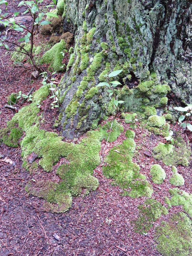
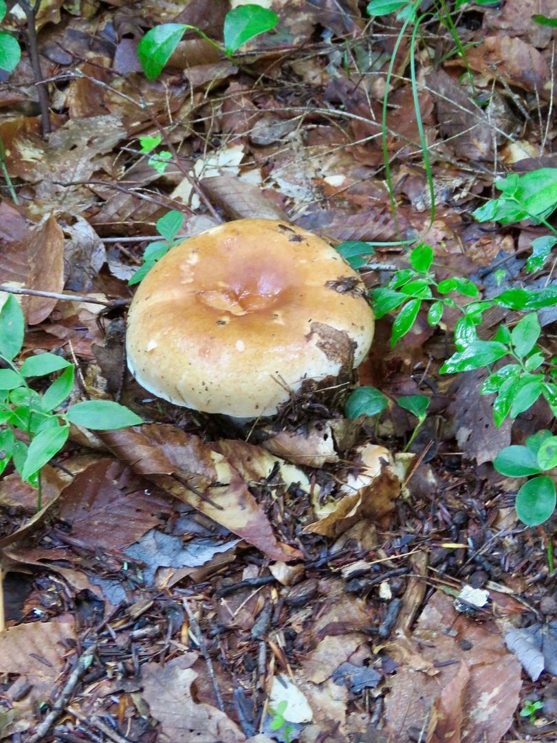
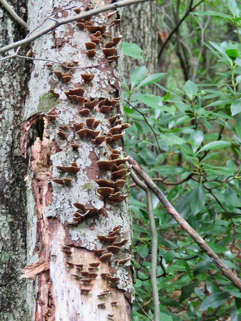
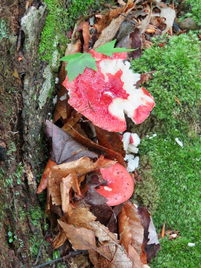
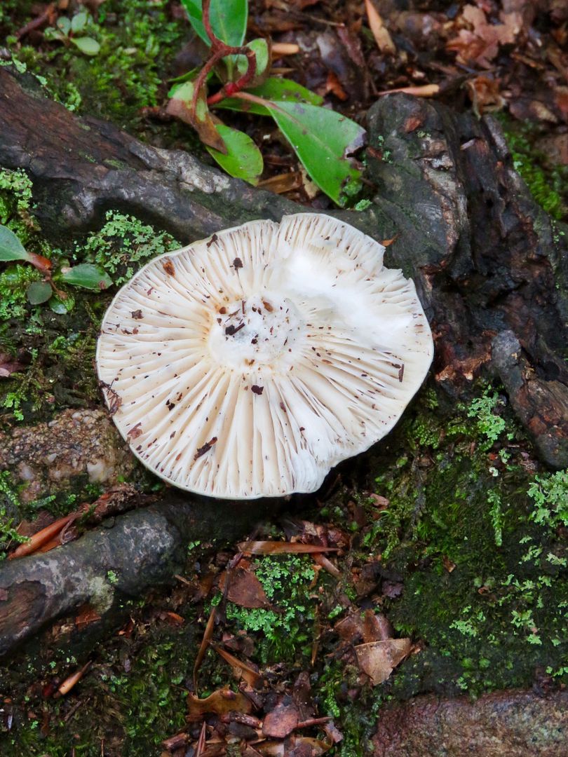
I am always fascinated by the fungi we saw growing here.
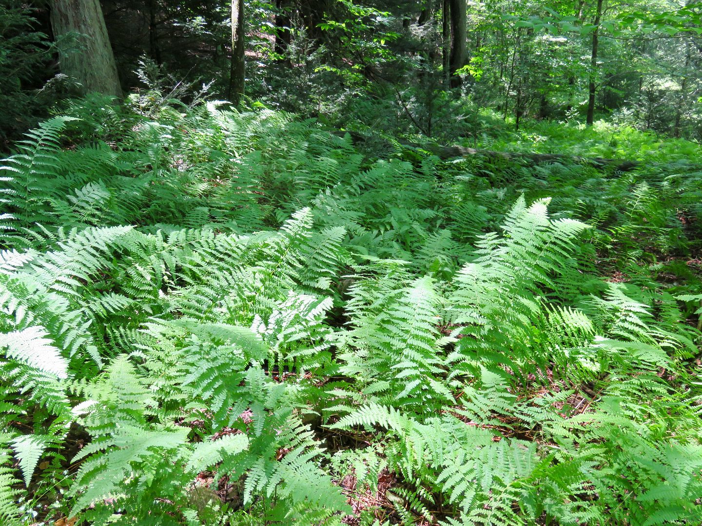
Beautiful rhododendrons were abundant along this trail as where ferns in some areas.

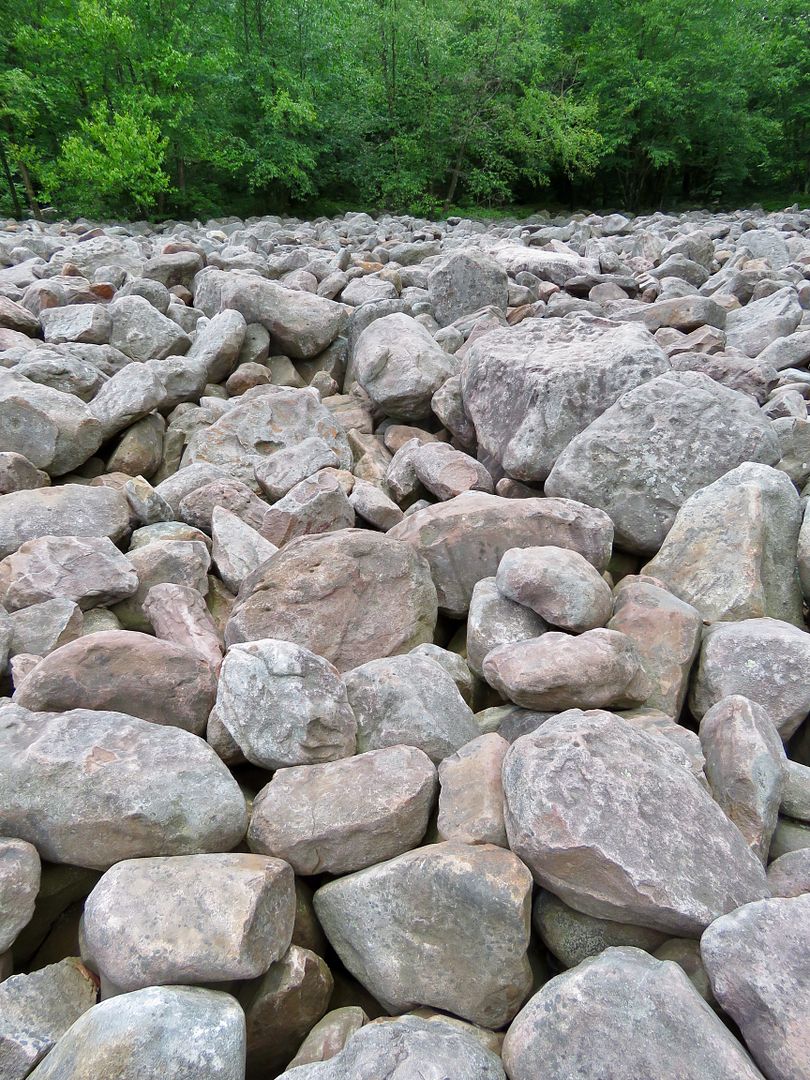
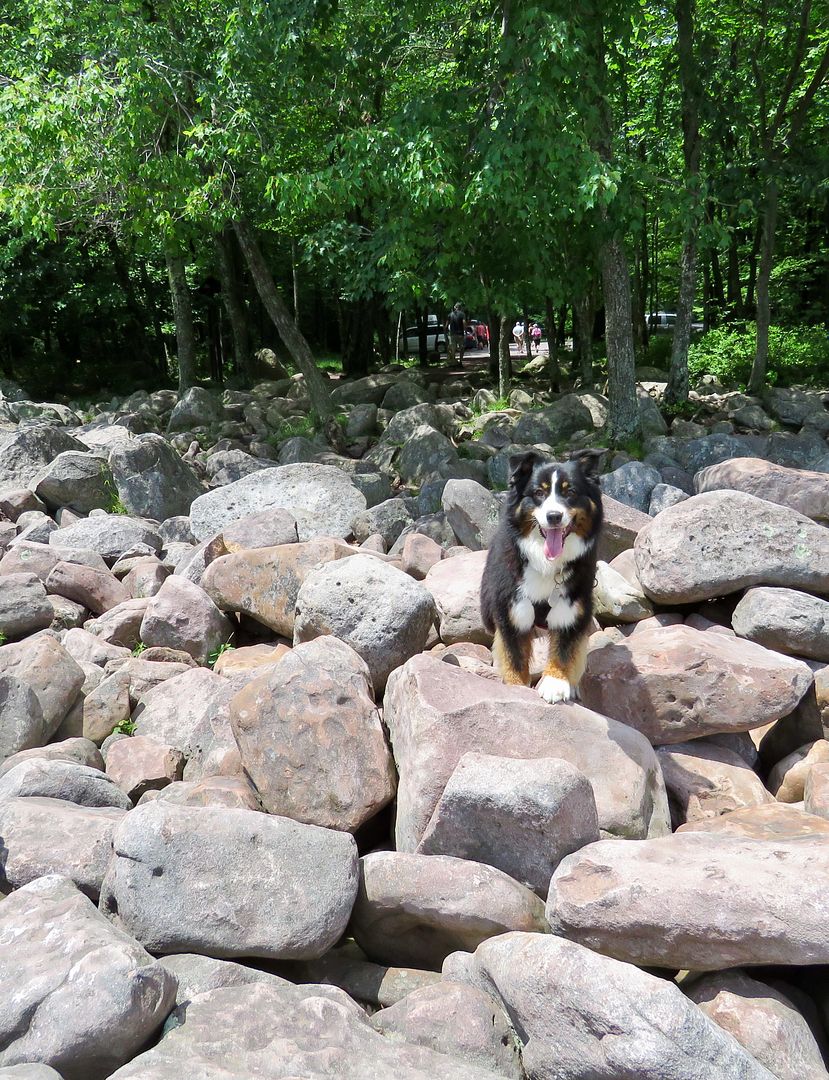
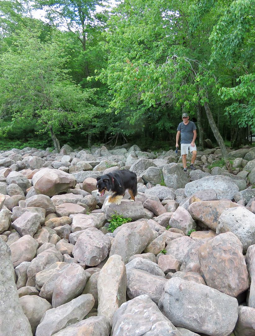
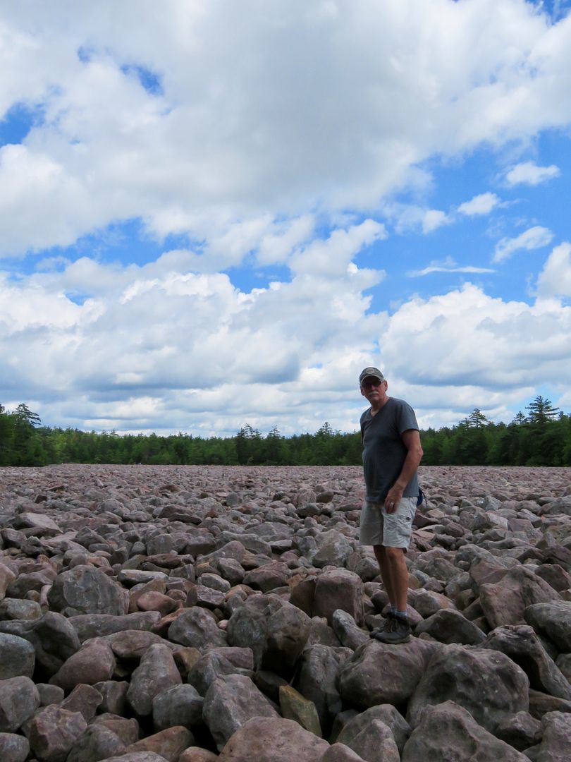
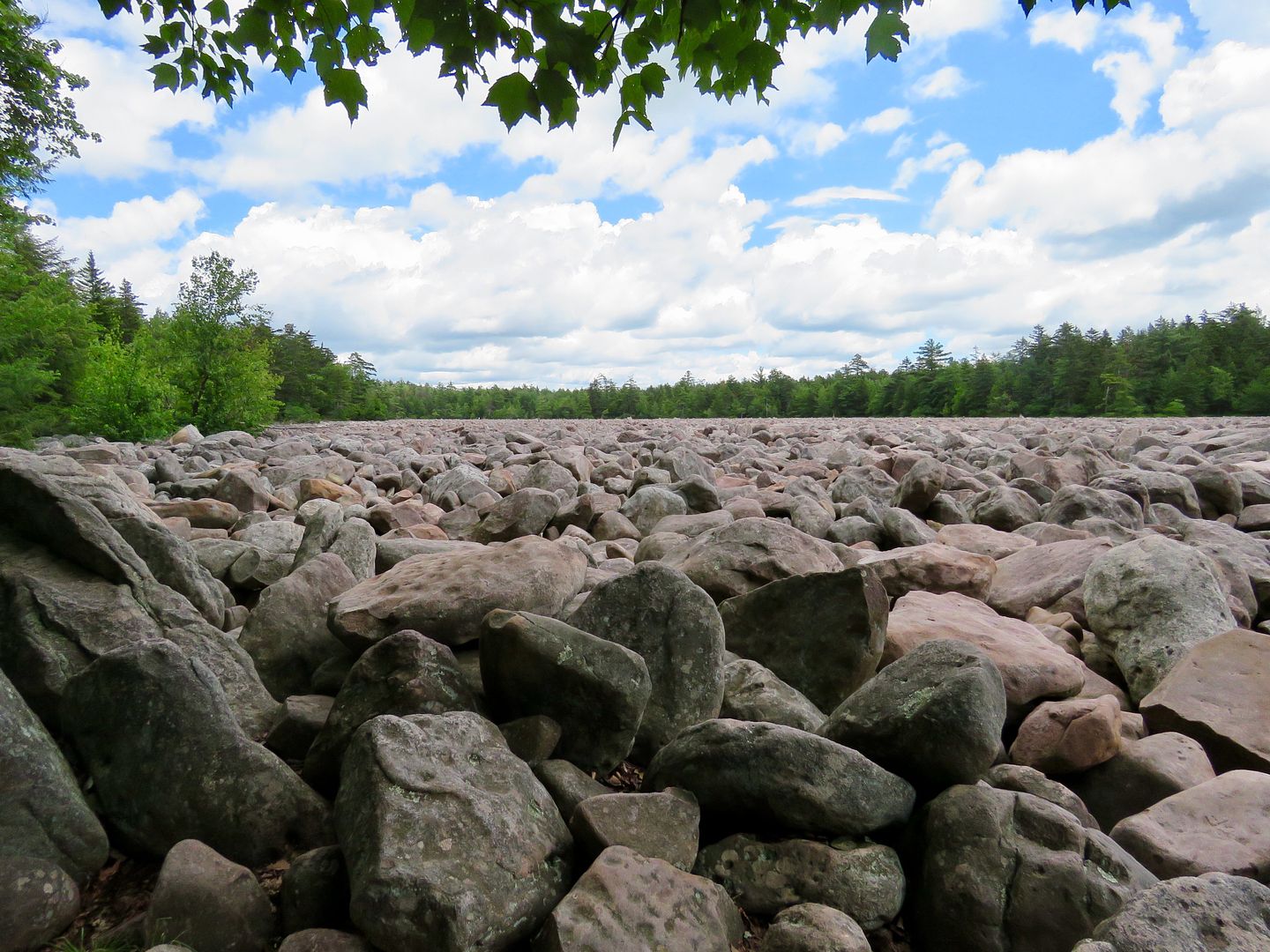
Be sure to check out Boulder Field when you visit Hickory Run State Park. It has been designated a National Natural Landmark and pretty amazing. We opted to drive to it, but there is also a 3.5 mile hiking trail as well.
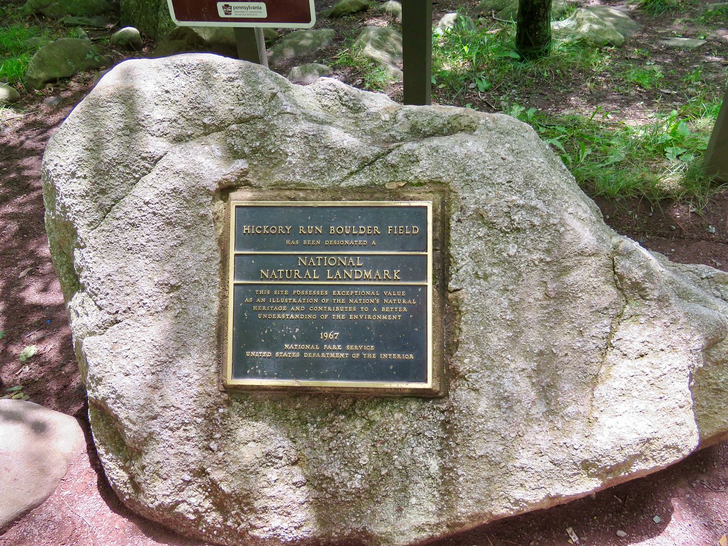
A giant sheet of ice (at least a mile thick) covered half of the park in the last "ice age." The western part of the park was under the glacier 20,000 years ago, but Boulder Field is in the unglaciated area. It was formed by the continual freeze/thaw process. This landscape was once common 15,000 years ago in PA, but since the climate warmed, plants, soil and weathering have covered or removed boulder fields. Many houses and barns in Pennsylvania have been built of stones found when settlers cleared their fields for farming.

The field is 400' by 1,800 feet and about 10' thick. The boulders range in size from 25' to several inches. It's fun (but a bit treacherous) to walk out into the field hopping from boulder to boulder. Sadie had no problem with it (unlike us humans), but she preferred sniffing around the nearby woods.
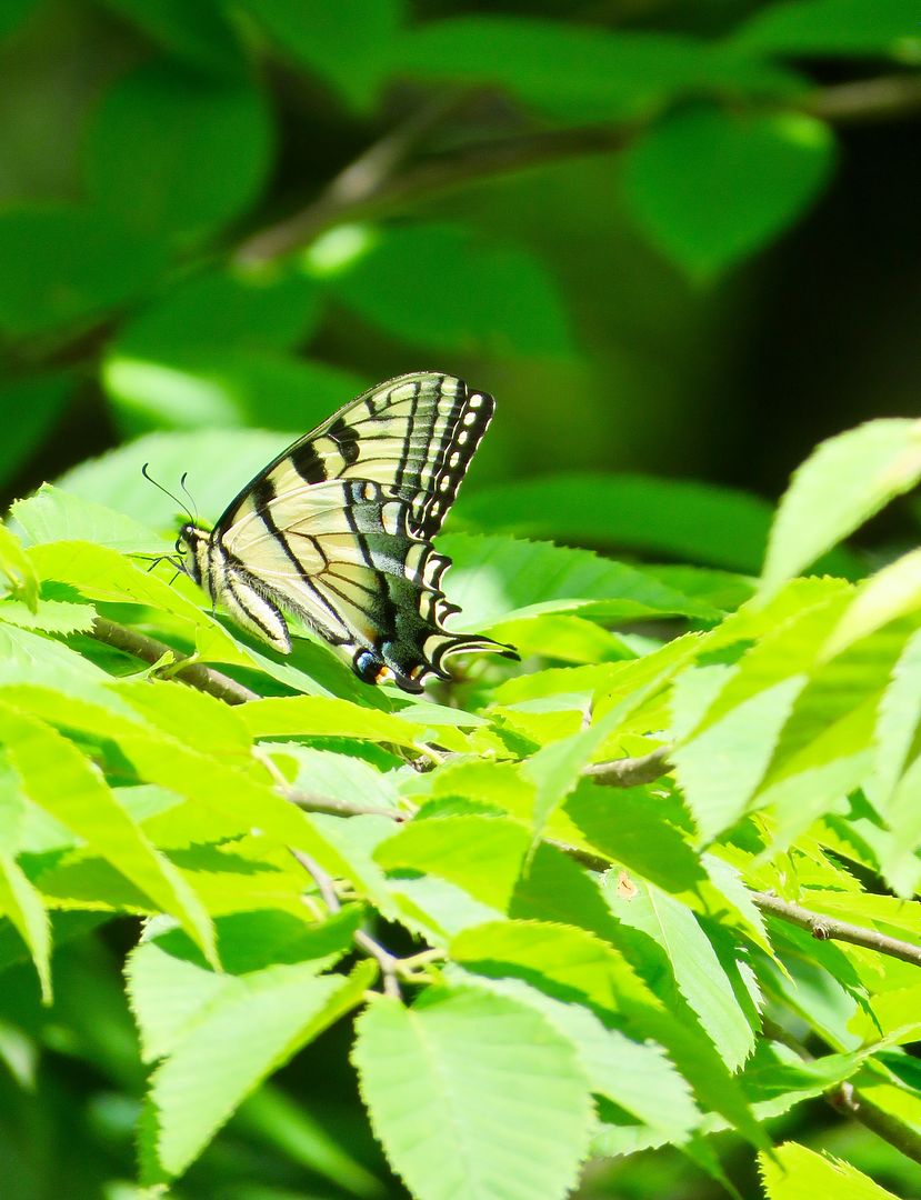
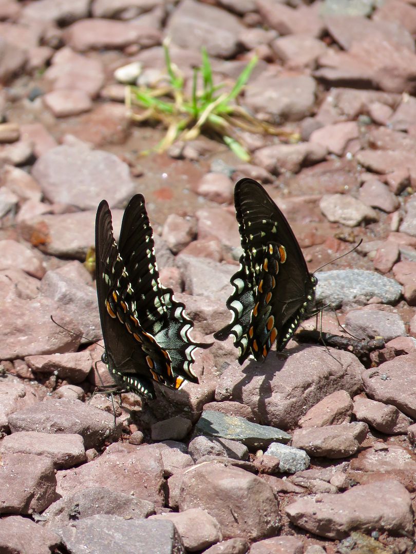
I always enjoying catching a photo of a butterfly. We saw them all over the park.
Our final hike for the day was the Hawk Falls Trail (rate "more difficult"). Again, awe drove to the access point along Rte 534 in the southeastern part of the park. It is a 1.2 mile round trip that wanders through rhododendron thickets that ends at the natural 25' waterfall. The falls get their name from the Hawk family that owned a farm in the area.

There are lots of other activities at the park, including swimming in Sand Spring Lake, fishing for brook trout in Hickory Run or Mud Run, as well as ice skating, cross country skiing, an snowmobiling in the winter. Campsites and cottages are available in the park (but no full hookups for RVs). We certainly enjoyed the beauty of the trails this time of year. Do not miss Hickory Run if you are ever in this part of the country. It is well worth a visit! There is no day use fee for the park.
For additional information including camping or pavilion reservations, visit their website at www.visitPAparks.com.
No comments:
Post a Comment