Today, we visited the Davis Bayou Area as it is only 14 miles from where we are staying in Biloxi.
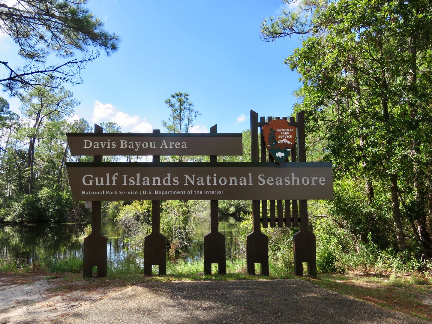
The Davis Bayou is the only part of the National Seashore in Mississippi that is accessible by car.
Six barrier islands, Cat, West Ship, East Ship, Horn, Sand, and Petit Bois, are part of the park and are accessible by private boat year round. Only West Ship Island is accessible by passenger ferry (seasonally), but it is currently closed due to damage caused by Hurricane Nate in early October. The Florida areas are about 130 to 180 miles from here and all of them are accessible by car. Below is a map of the entire Gulf Islands National Seashore.
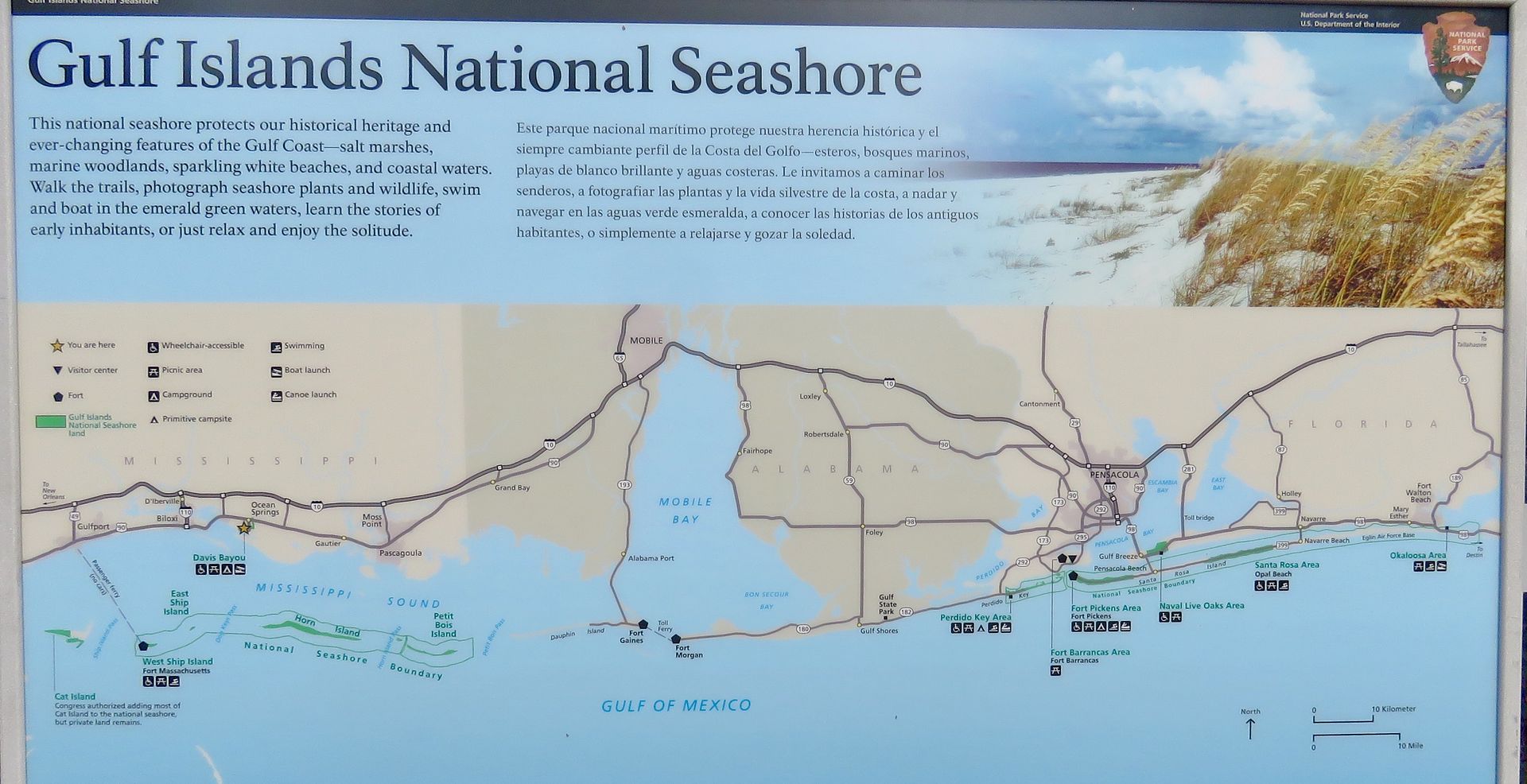
The Gulf Islands National Seashore was established in 1971 to protect the barrier islands, wildlife, salt marshes, and historic structures and to provide recreational opportunities for visitors. The islands were created by white sand carried by rivers that drain from the Appalachian Mountains into the Gulf of Mexico.
Our first stop here was the William M. Colmer Visitor Center.
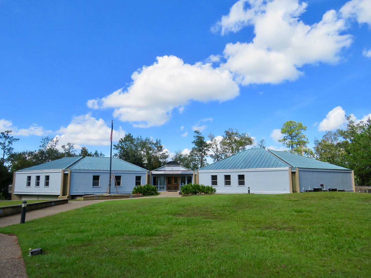
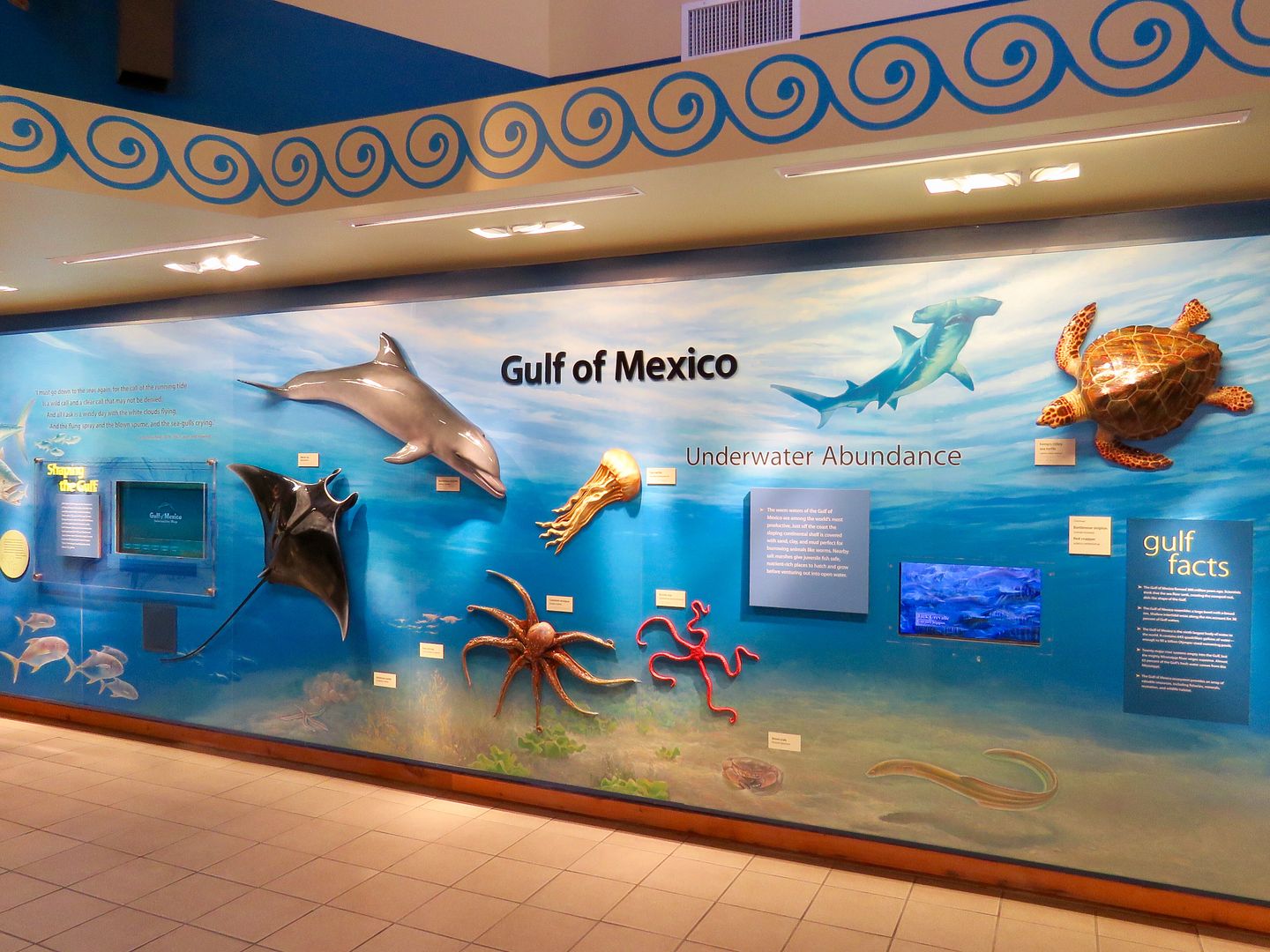
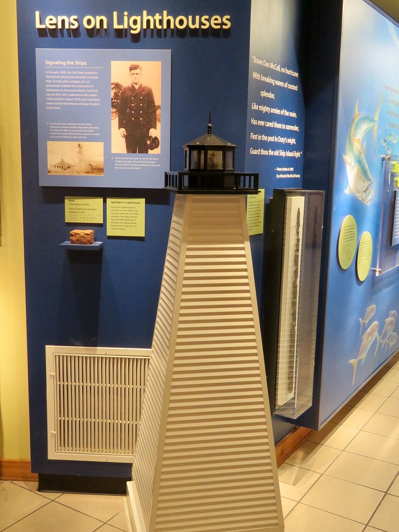
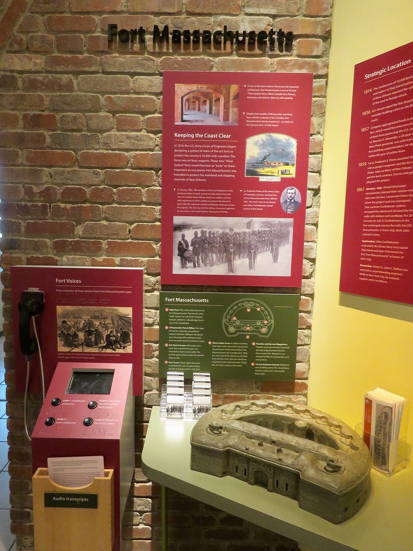
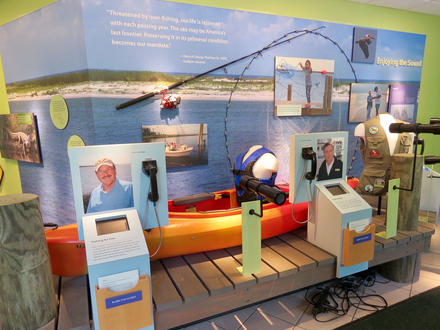
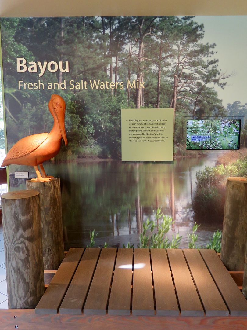
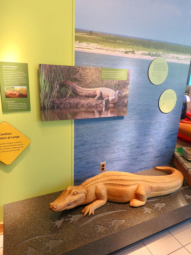
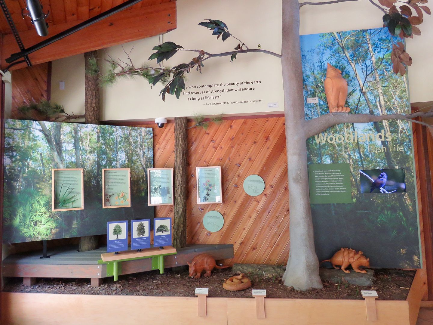
We spent some time checking out the exhibits. Like every other National Park visitor center we have visited, the displays here are well-designed, informative, and interesting.
The US Government ordered the construction of lighthouses on the barrier islands off of Mississippi in the early 1800s (Cat Island in 1831, Ship Island in 1853, and Horn Island in 1874). All of them have been damaged by erosion, fire, and wartime. On West Ship Island, construction of Fort Massachusetts began in 1859 but came to an abrupt halt in 1861 when the island was seized by the Confederacy.
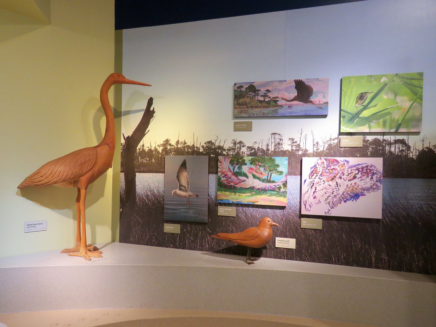
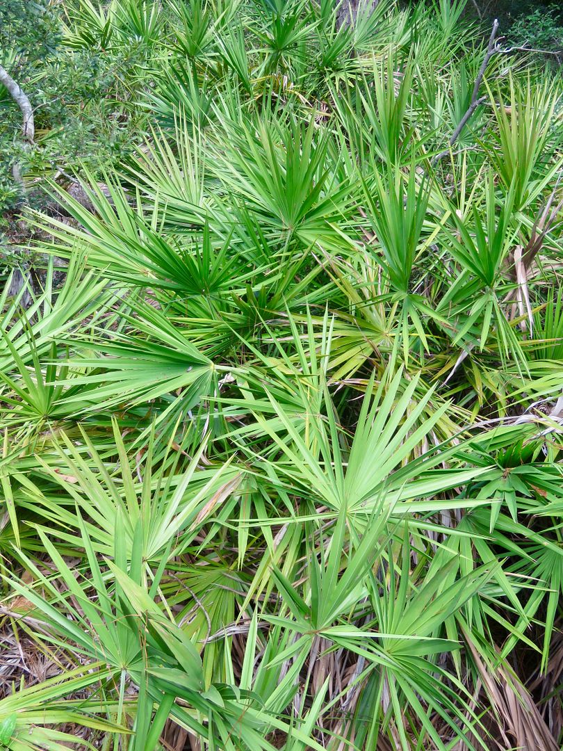
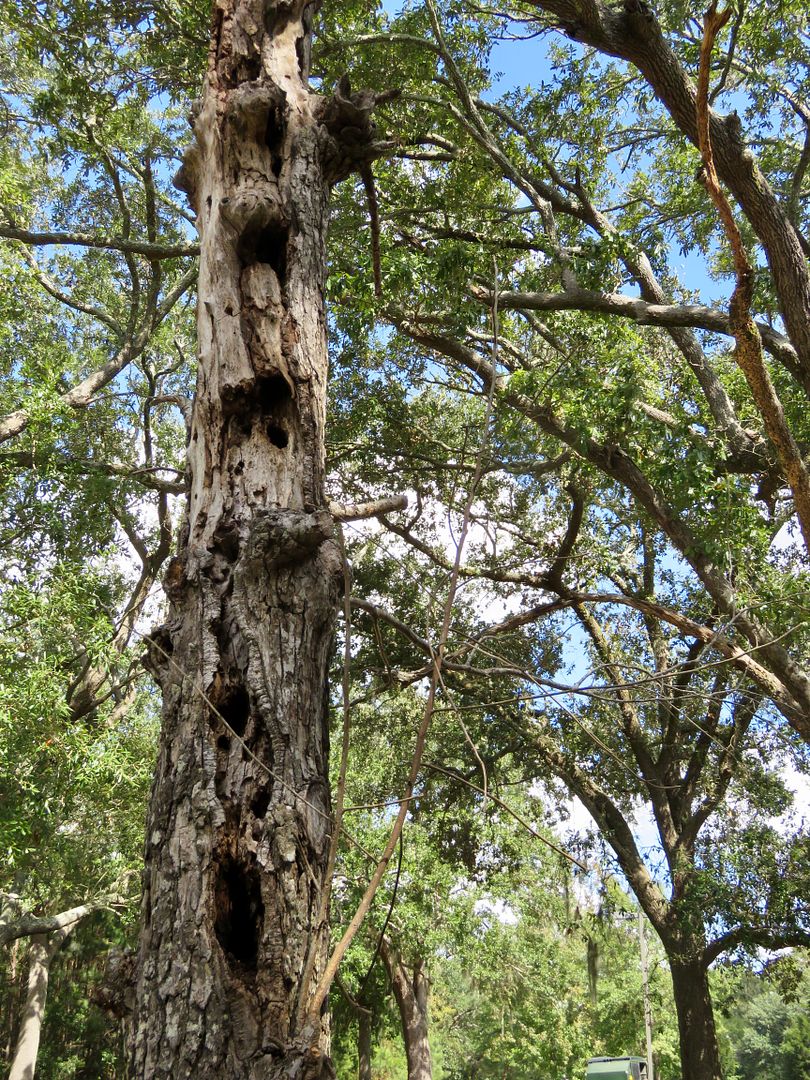
Some of the other exhibits included fishing and preservation of the sound, the bayou, alligators, and the woodlands.
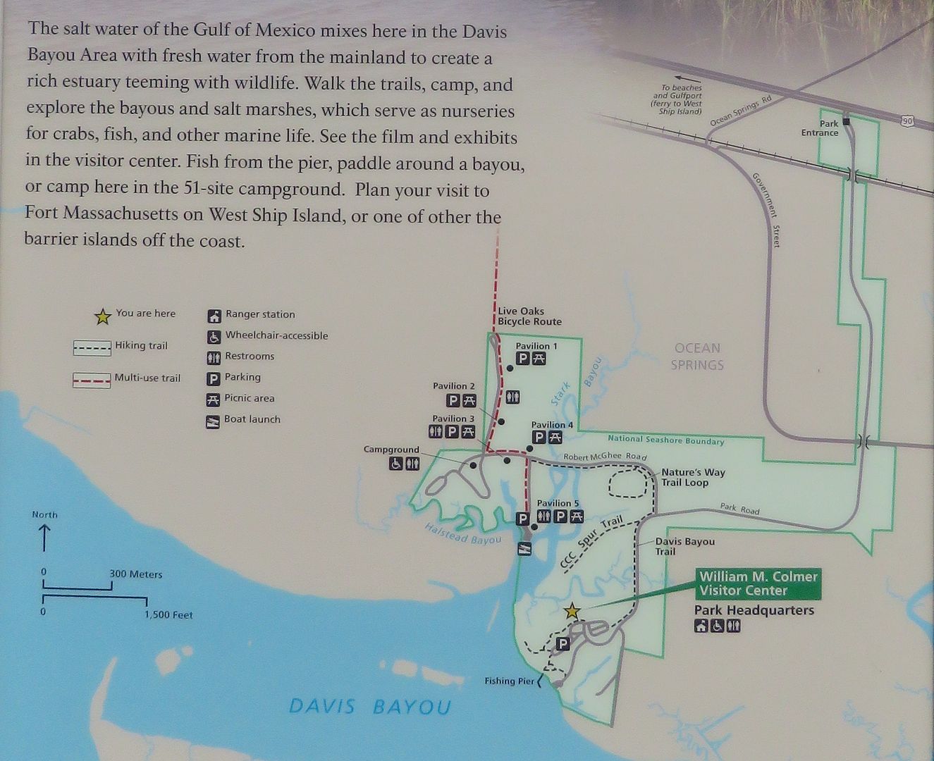
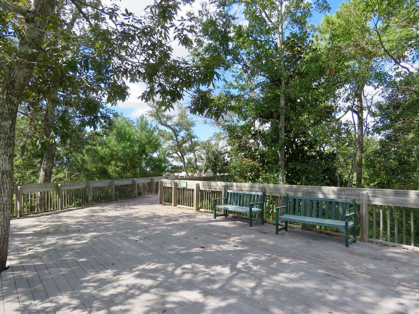
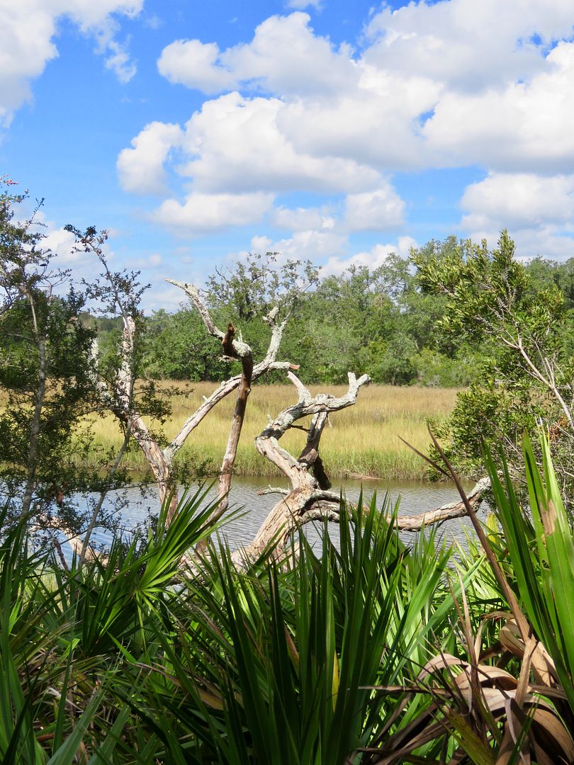
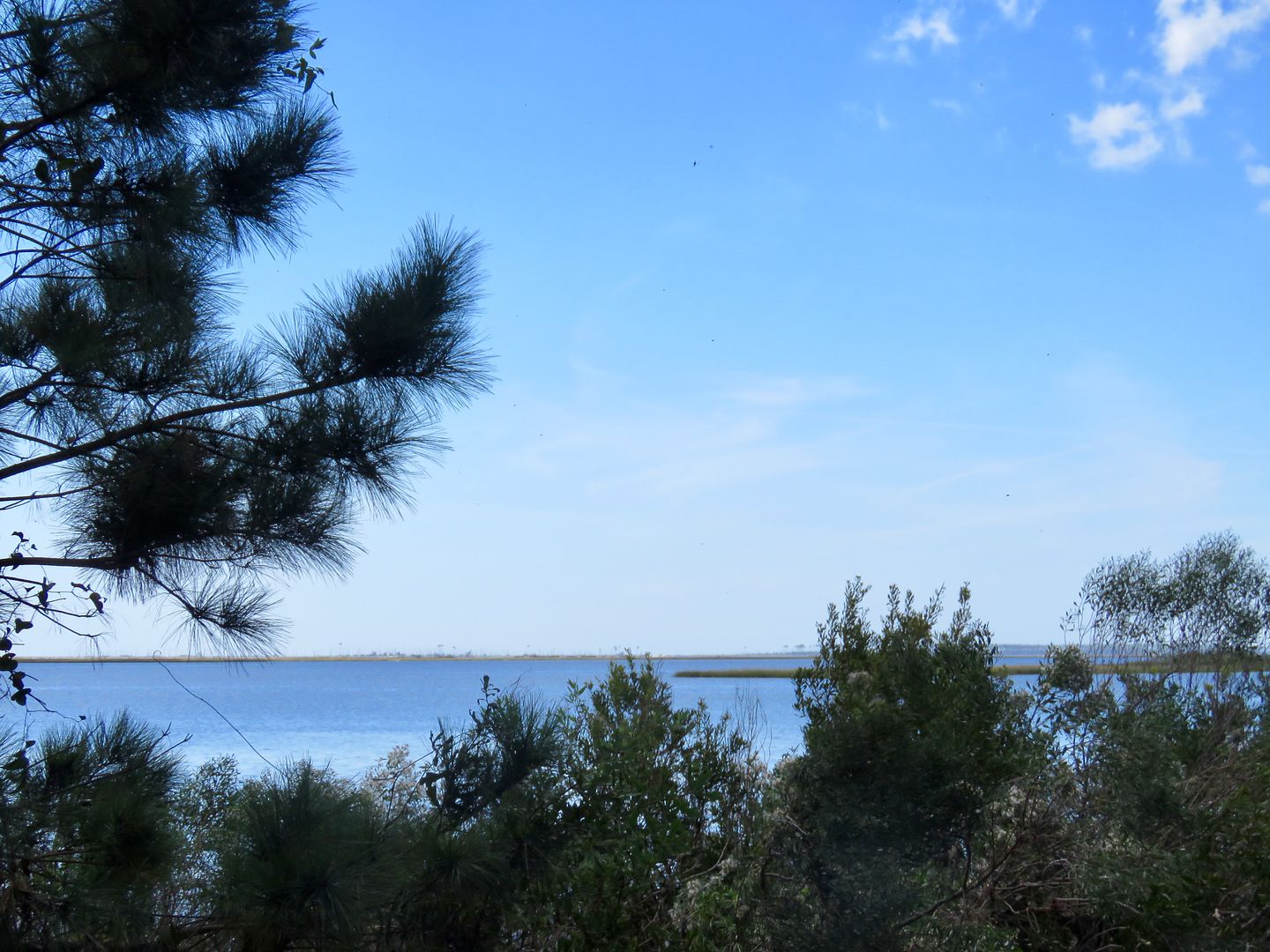
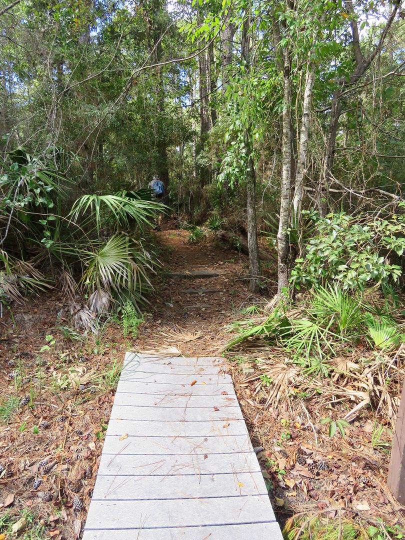
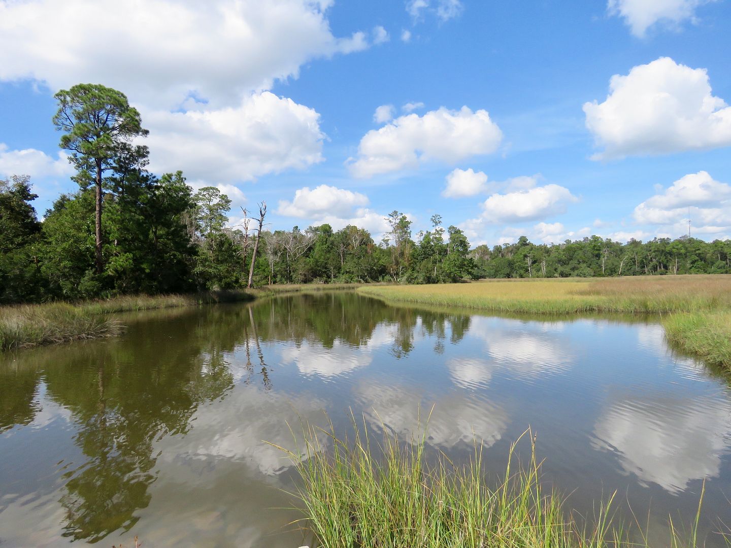
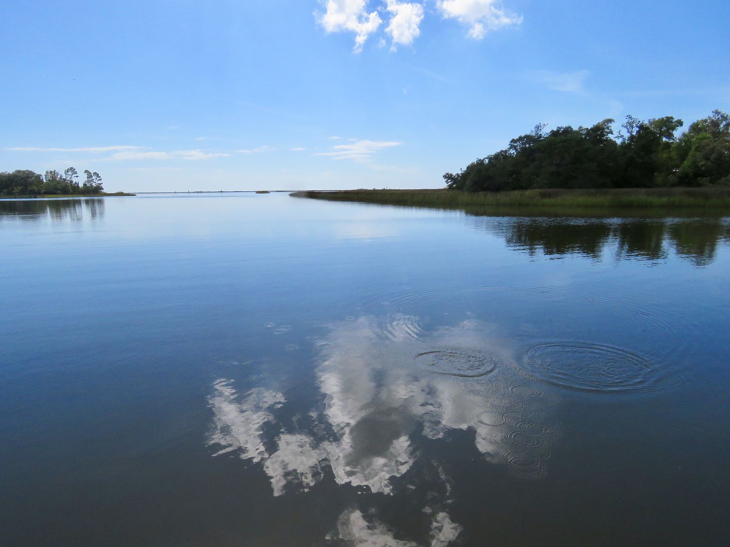
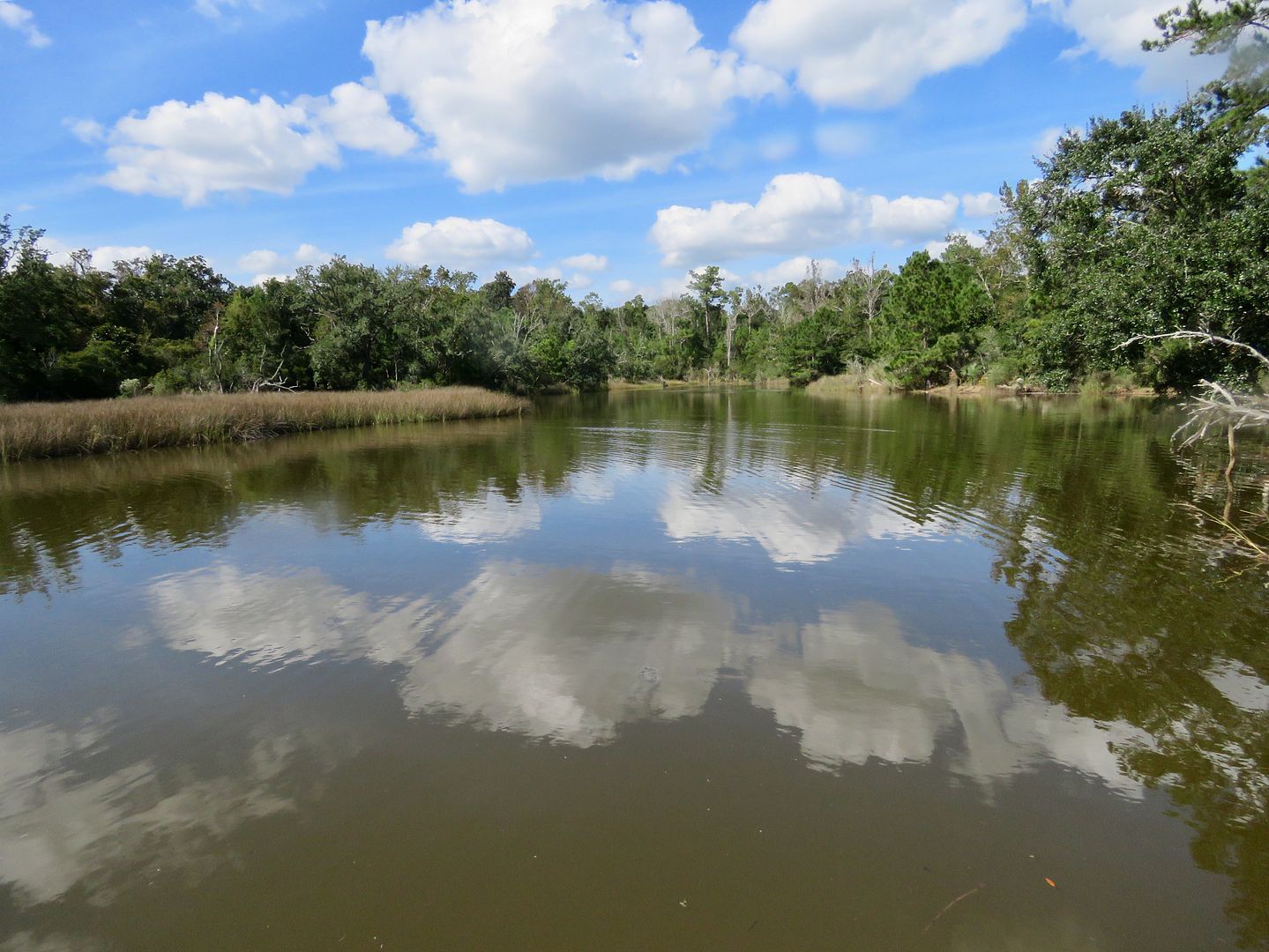
From the Visitor Center, we took the boardwalk to the salt water marsh.
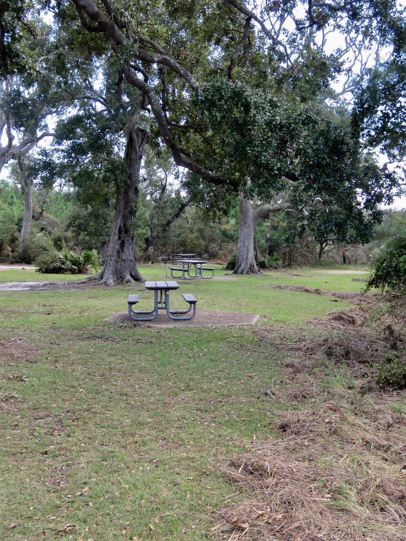
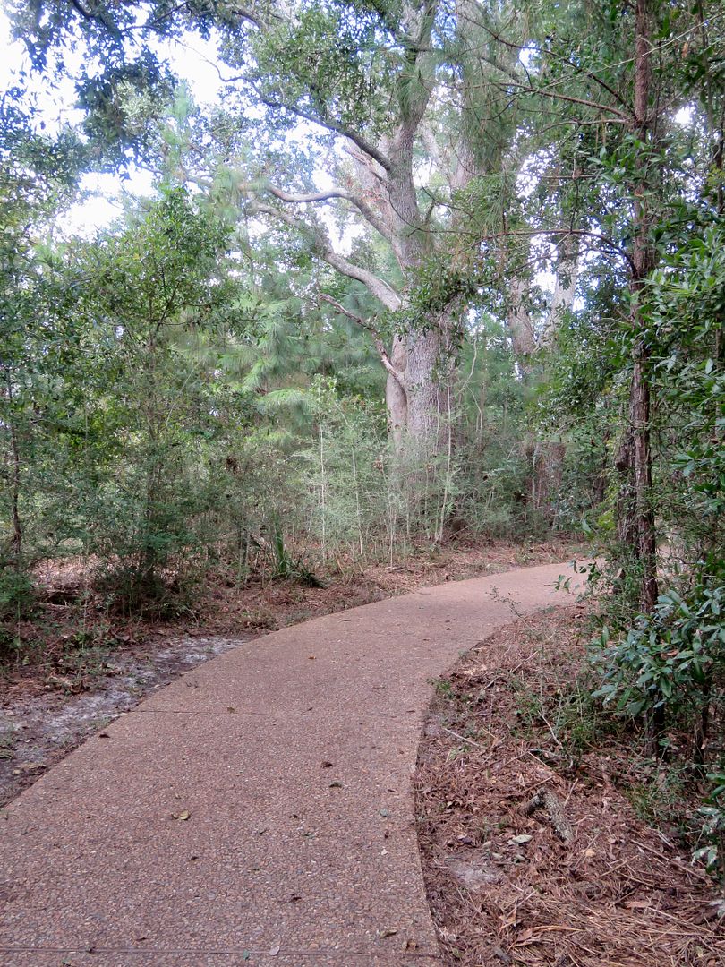
From the Visitor Center, we hiked the one-mile Davis Bayou Trail. Picnic tables (some with grills) are available for use.
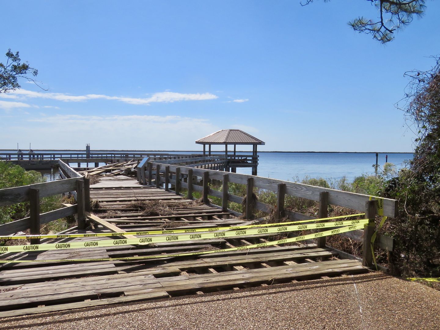
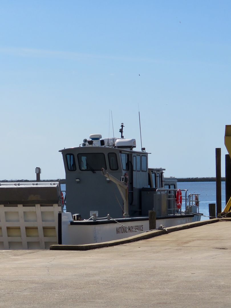
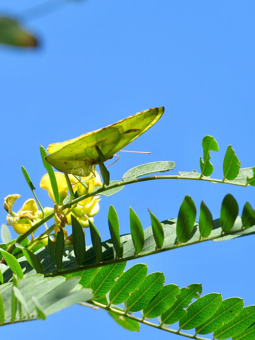
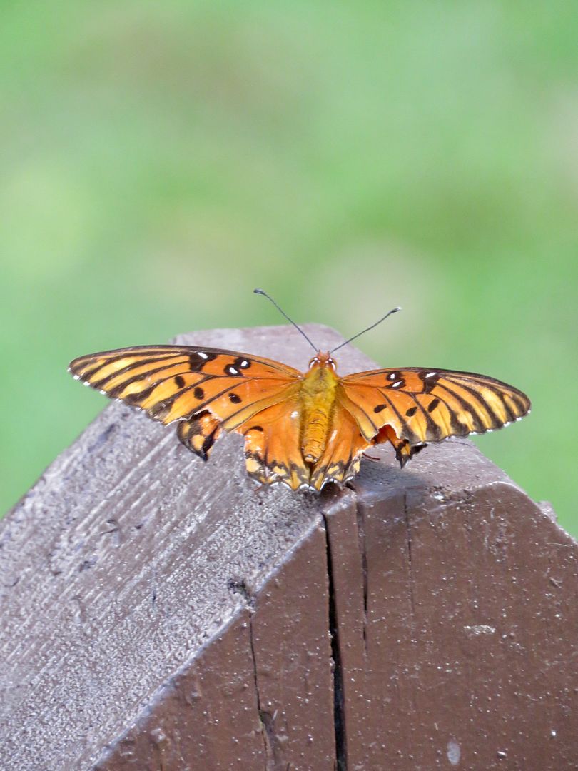
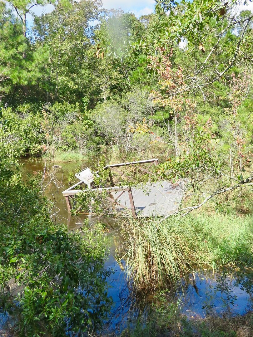
Damaged by Hurricane Nate, the fishing pier is currently closed. Nearby we saw a National Park Service boat at the dock. And this lovely yellow butterfly.
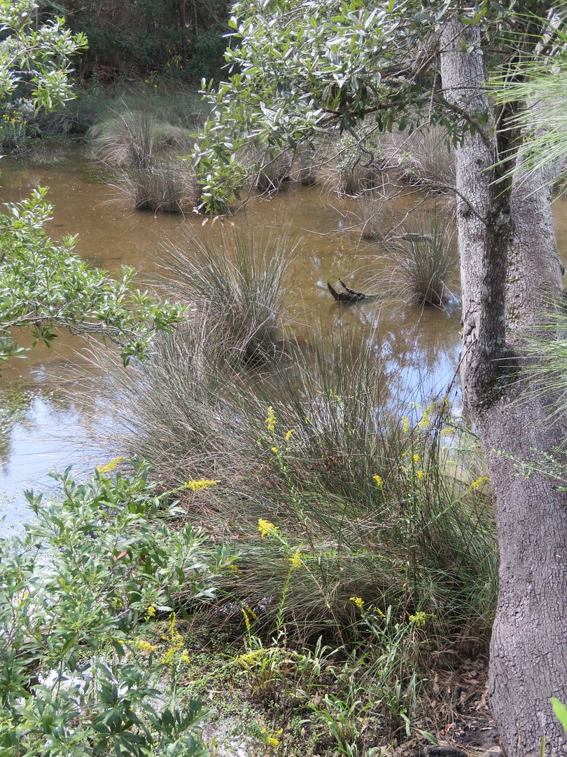
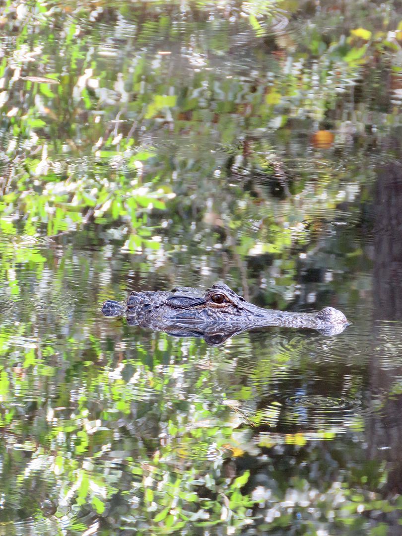
As we drove to the Blueway Access Point, we stopped at this small trail and saw this alligator showing just his head in the water.
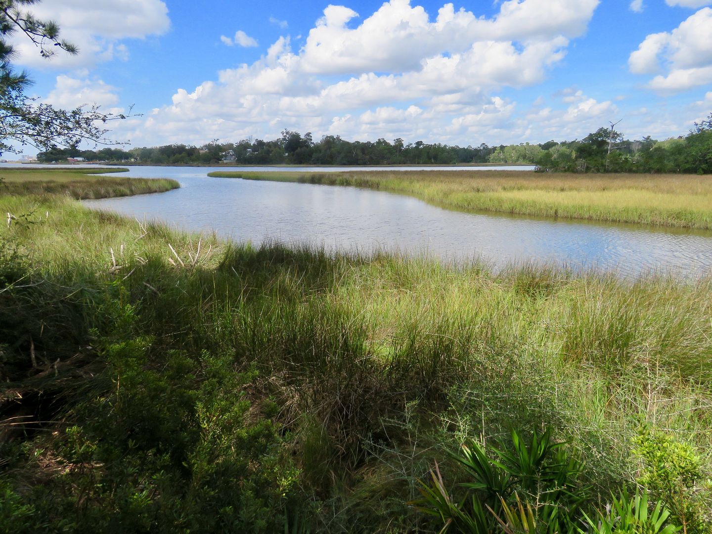
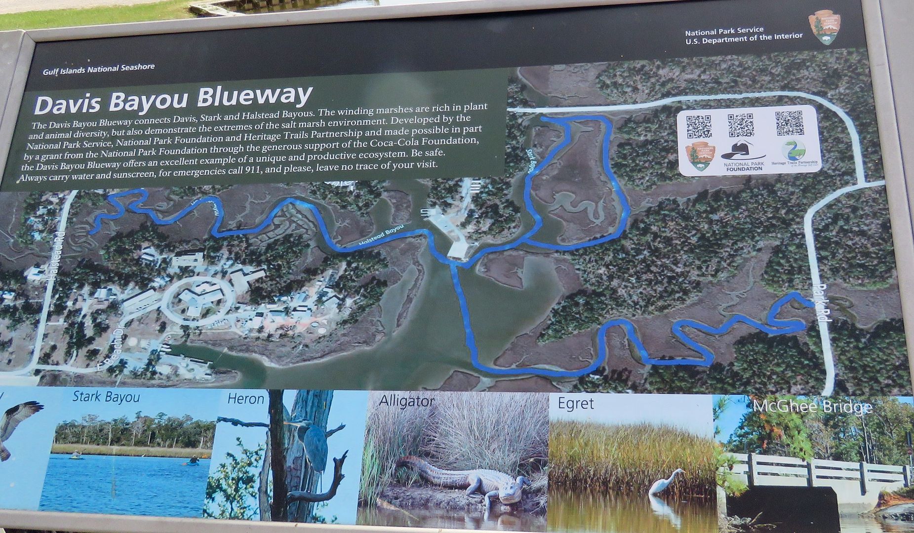
The Davis Bayou Blueway is a boating trail that wanders through the Davis, Stark, and Halstead Bayous. This would be really fun in a kayak or canoe. We keep talking about whether or not we want to buy a kayak, but hauling it everywhere would be a bit of a pain so we have not done so. At moments like this I wish we had one!
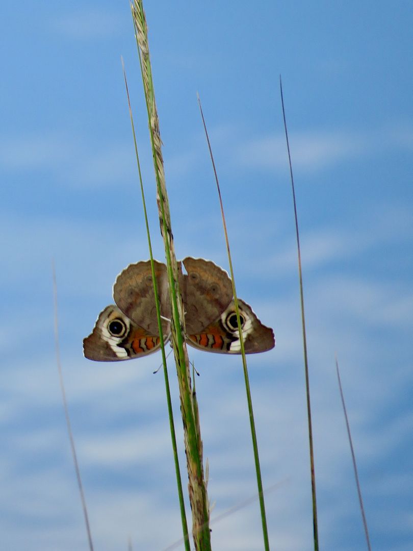
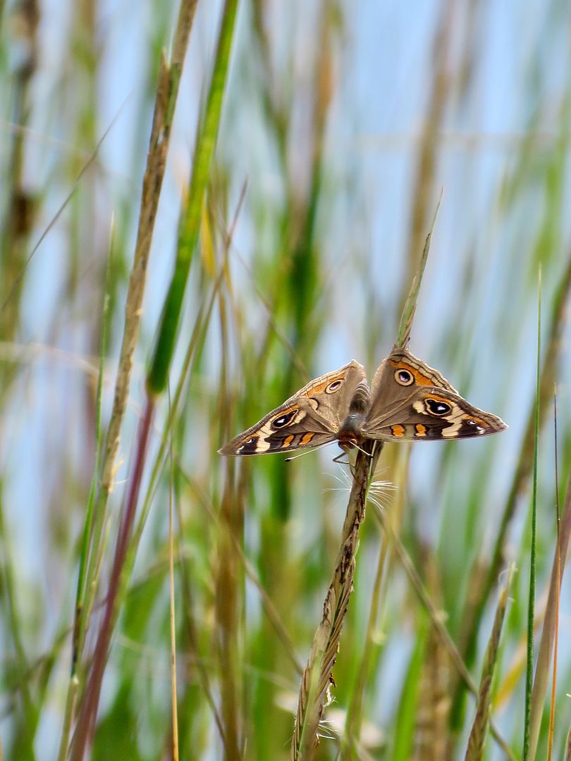
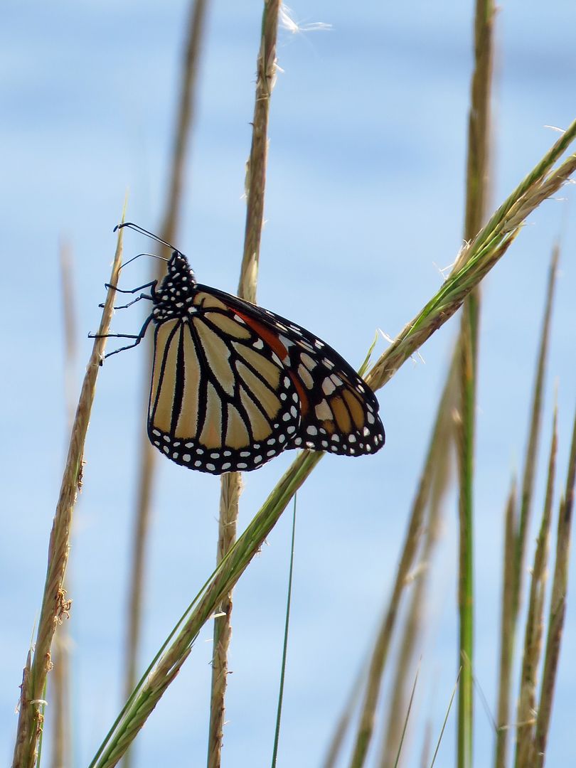
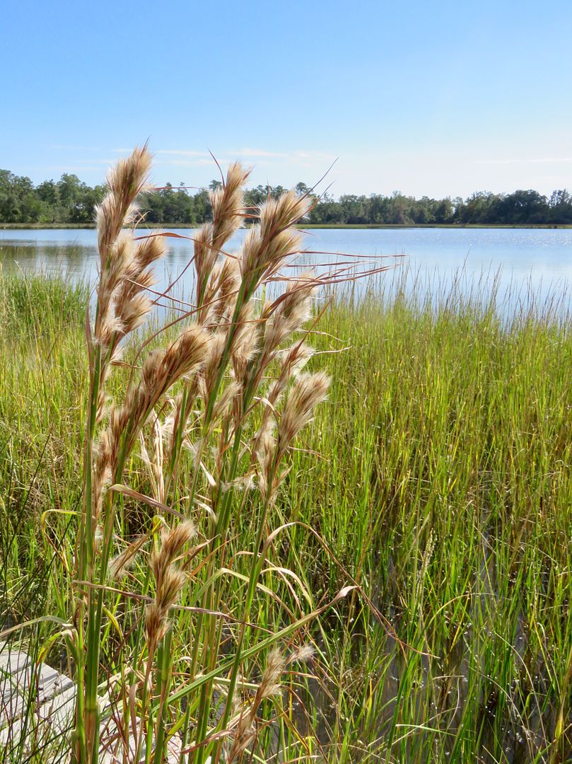
We saw lots of butterflies in the salt water marsh near the bayou.
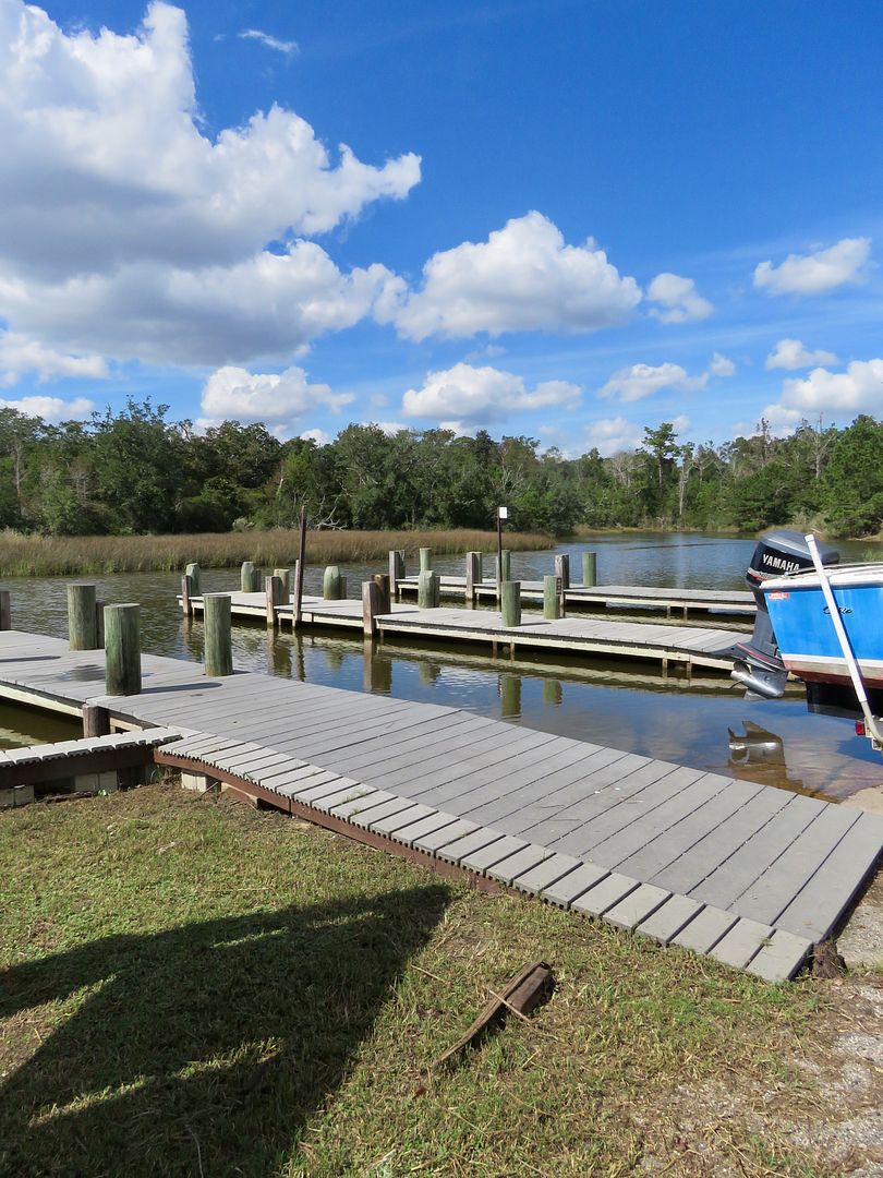
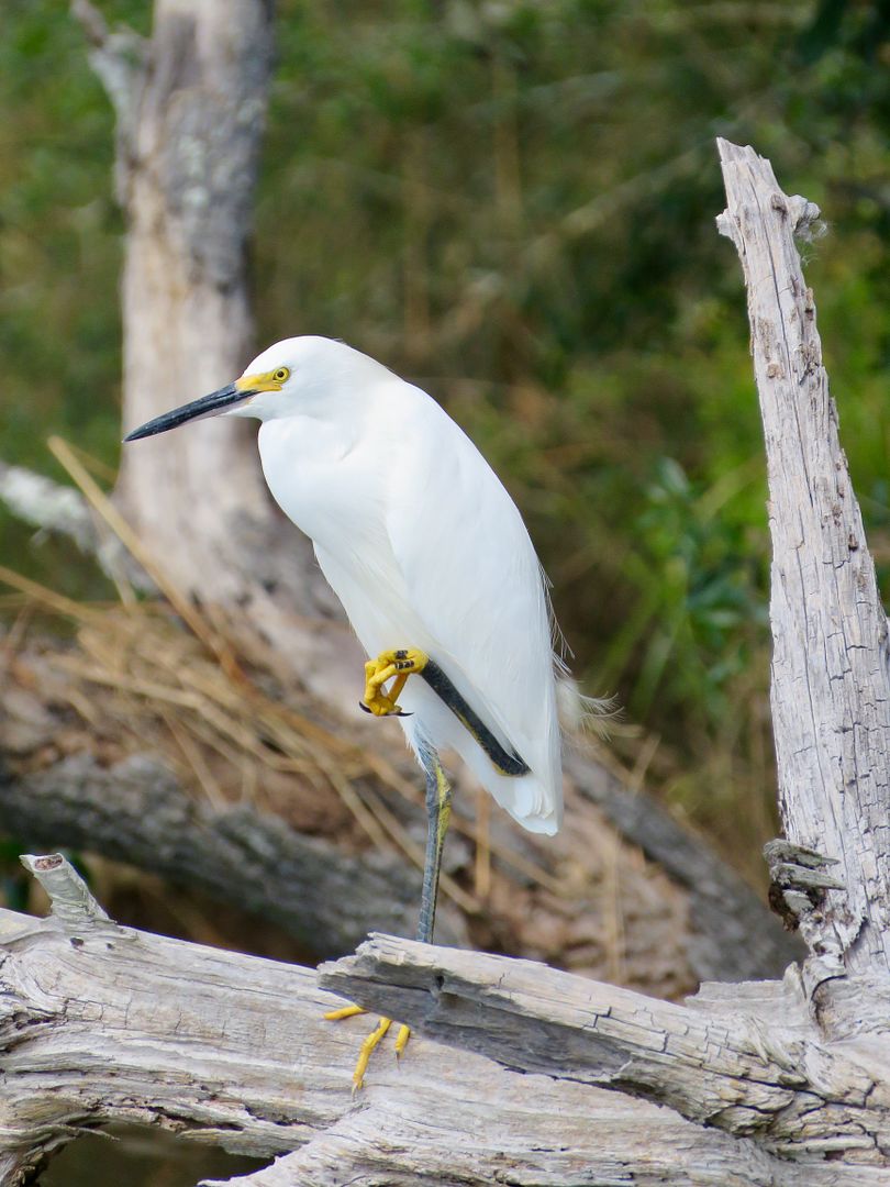
Several boats were launched from the sheltered area of the bayou. Also shown is one of the many egrets we saw in the area.
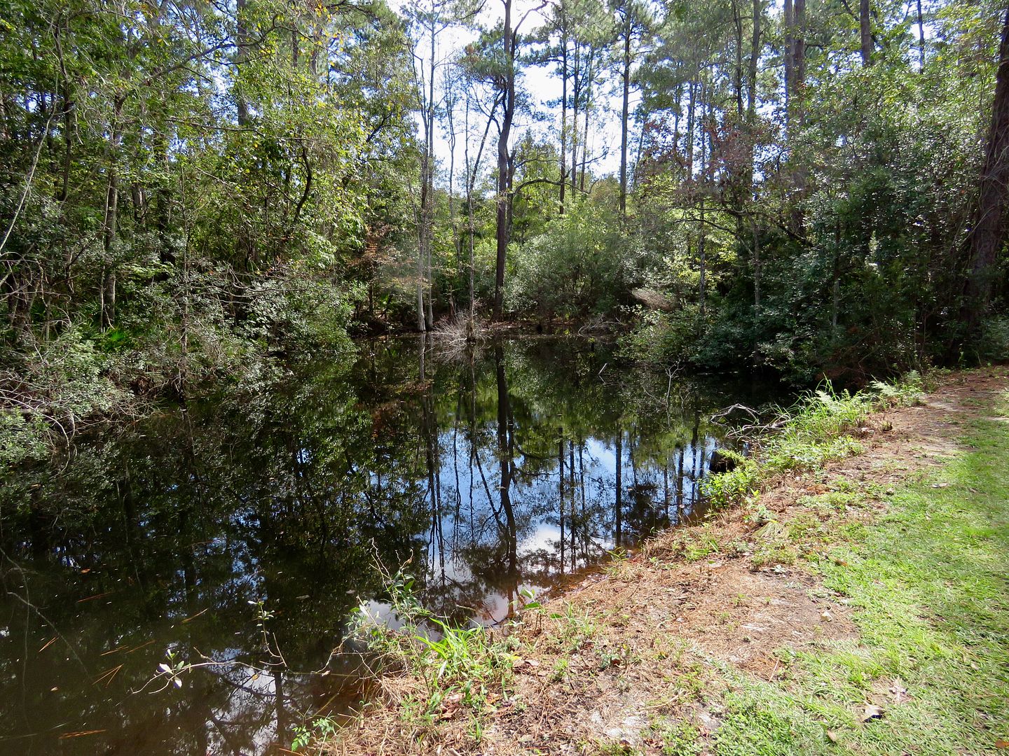
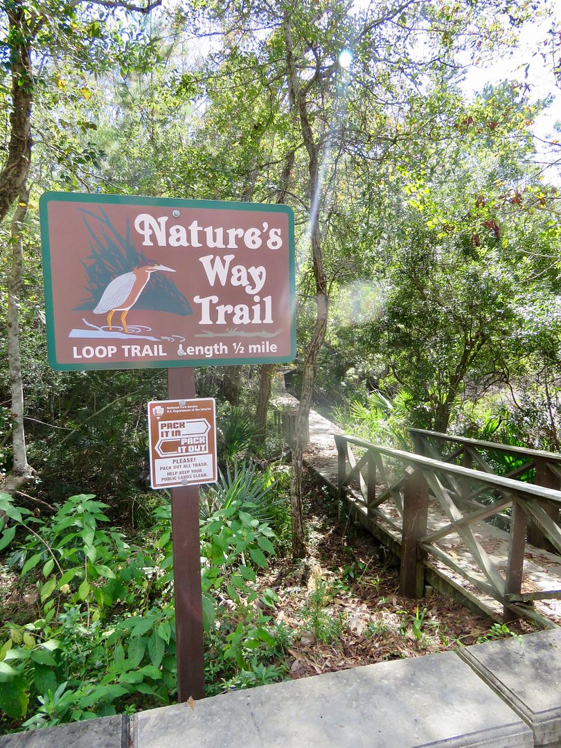
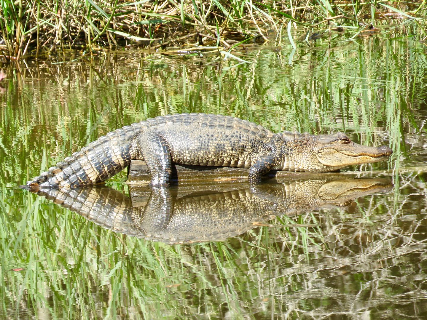
Our last stop at the park was at the Nature Way Trail. Unfortunately, it too is closed due to recent hurricane damage. But we walked around the area a bit and were rewarded with this awesome view of an alligator.
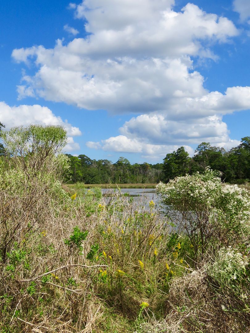
There is no beach access in this area of the Gulf Islands National Seashore. The park areas in Florida or the barrier islands in Mississippi do, however, have miles of white sandy beaches. We may make the drive to the Florida areas before we leave Biloxi as we would love to see one of the historic forts there. We'll see...
We enjoyed spending some time outside seeing the salt water marshes, bayou, and some wildlife here. There is no admission fee here, but there is a $15/vehicle fee in most of the Florida park areas. For additional information about Gulf Islands National Seashore, check out their website: www.nps.gov/guis.
No comments:
Post a Comment