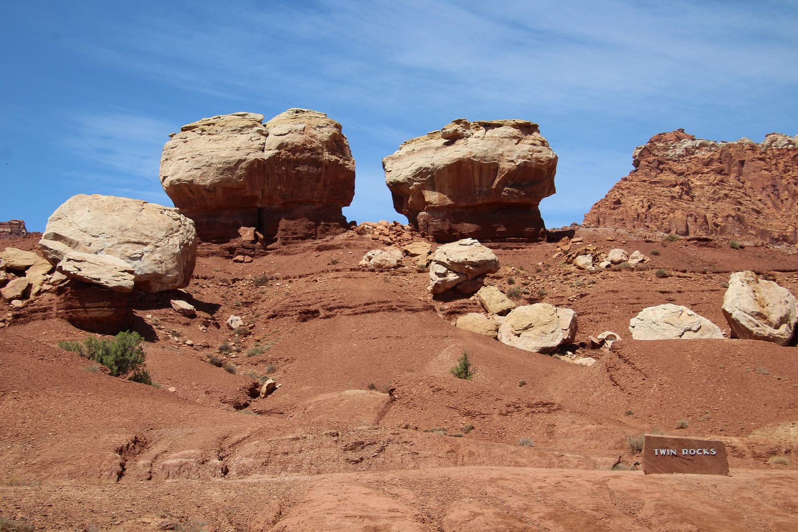
There are multiple pull overs along the road to see various points of interest. Twin Rocks are two very similar rock formations created by uplifts and erosion.
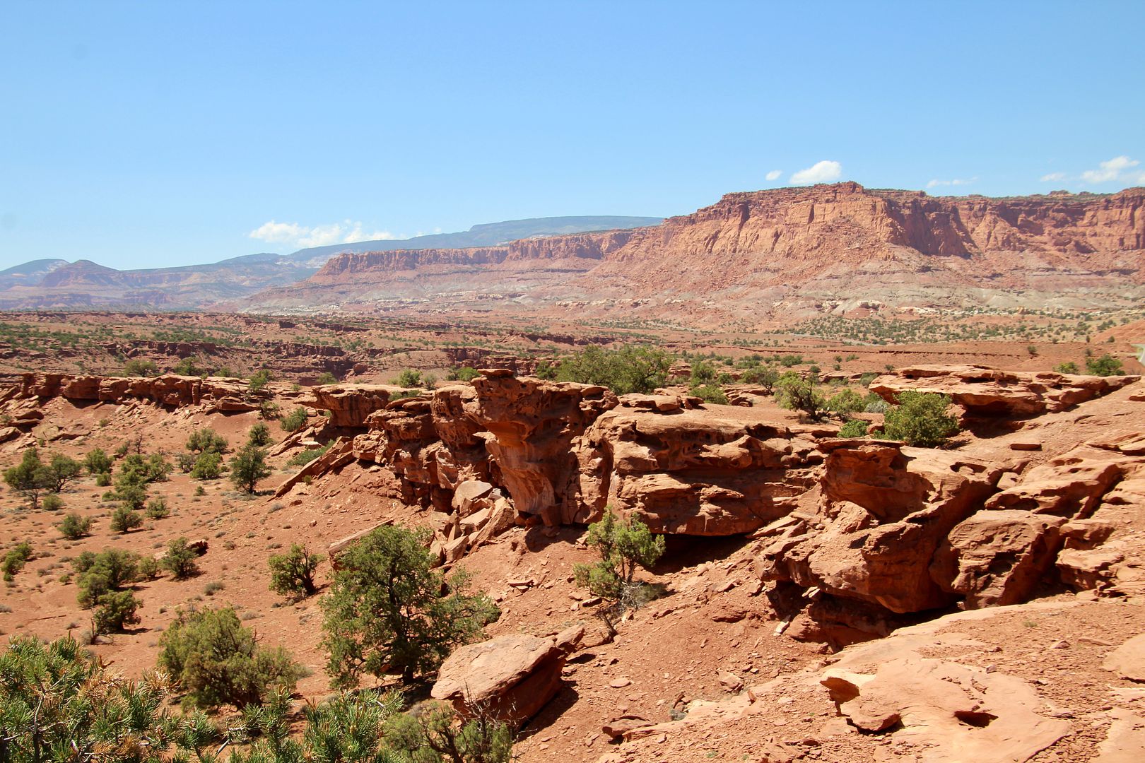
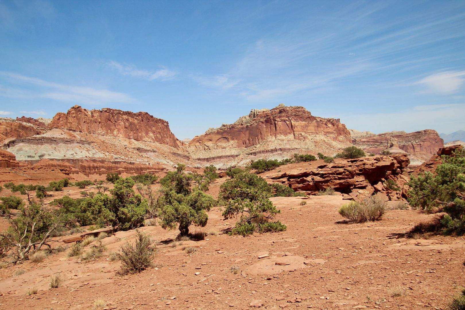
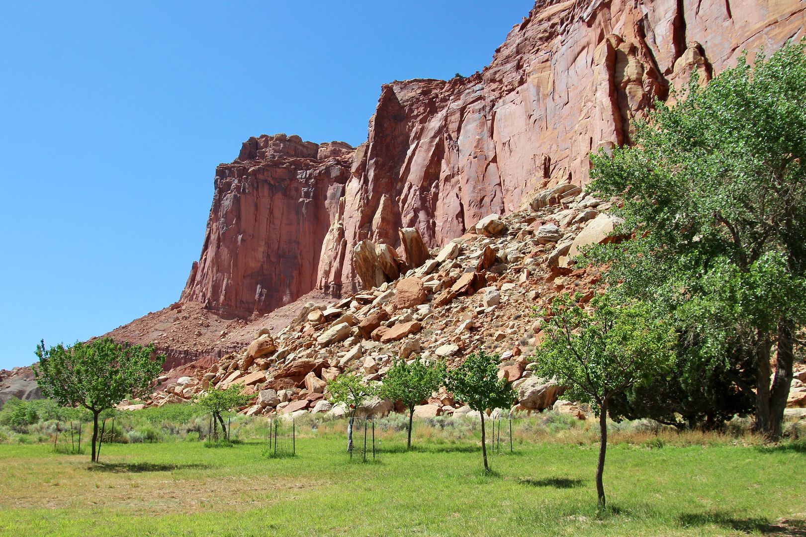
The rugged landscape stretches for miles and miles.
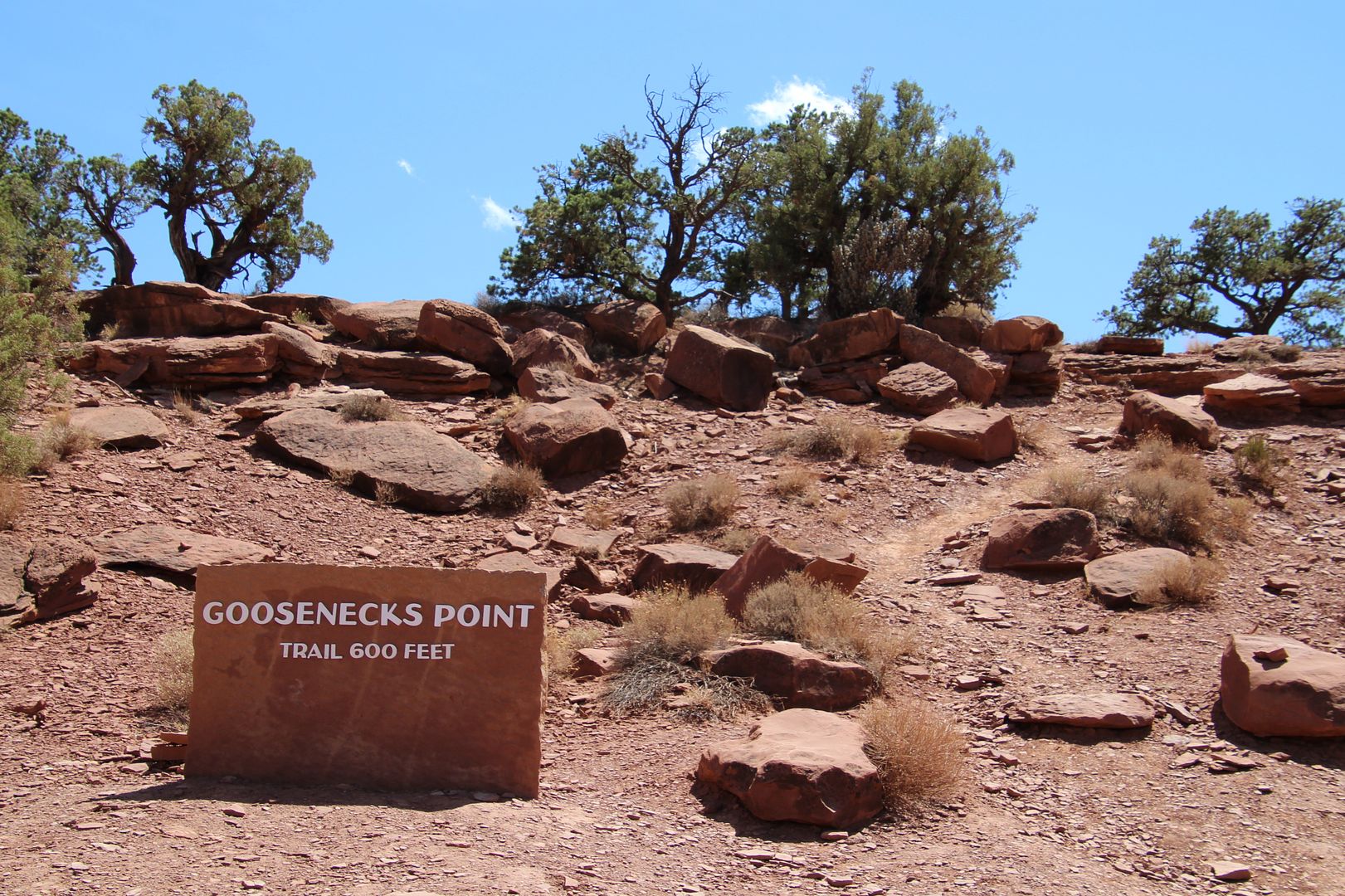
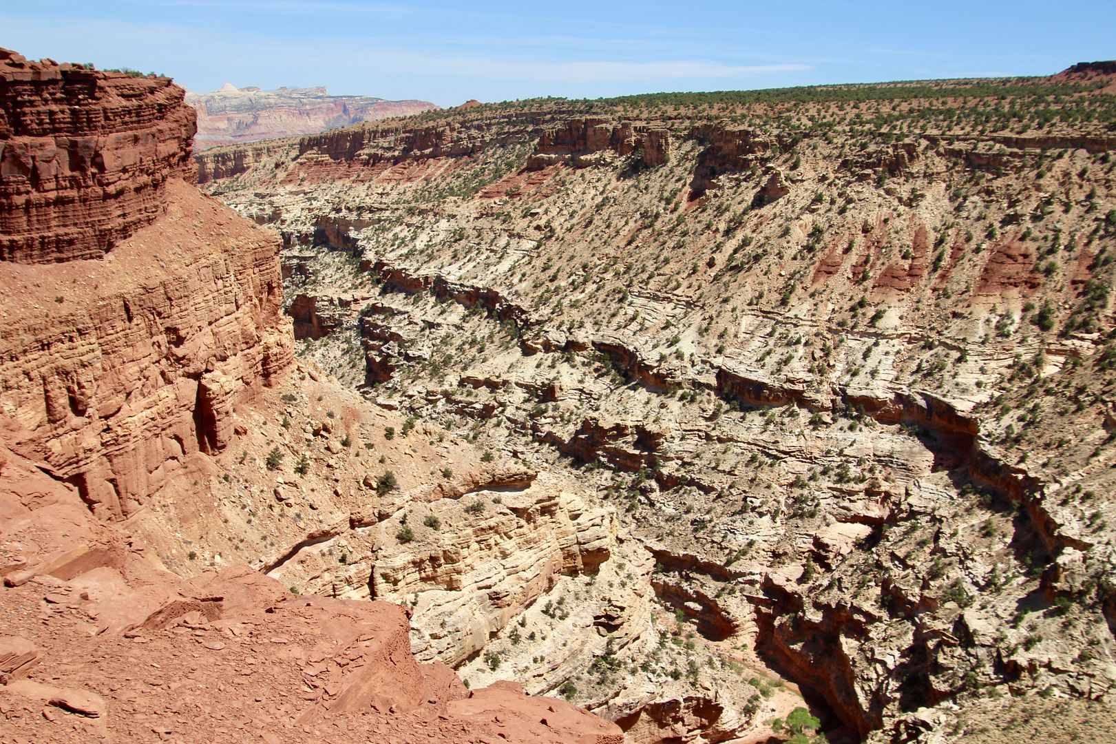
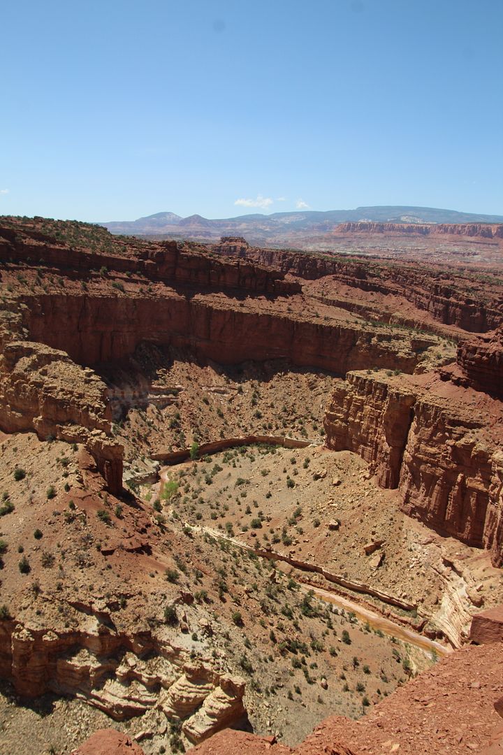
Turning right at Gooseneck Point, we followed the road to a parking lot and trailhead.
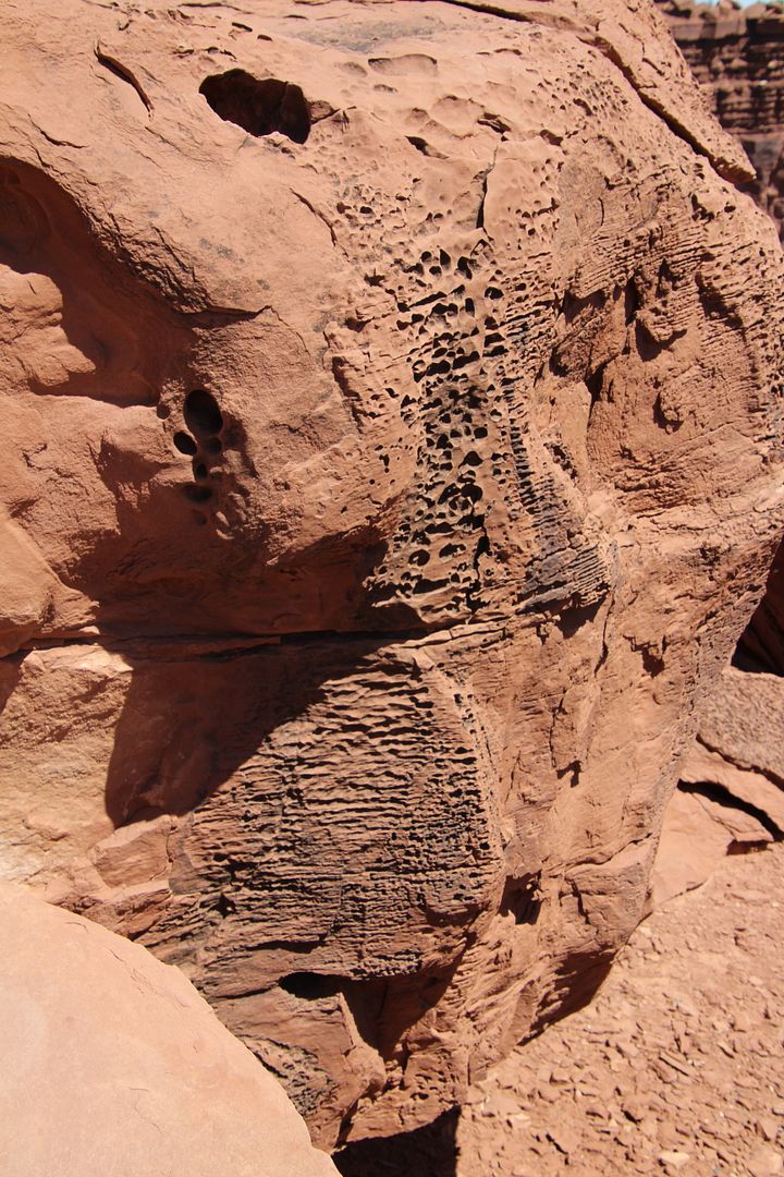
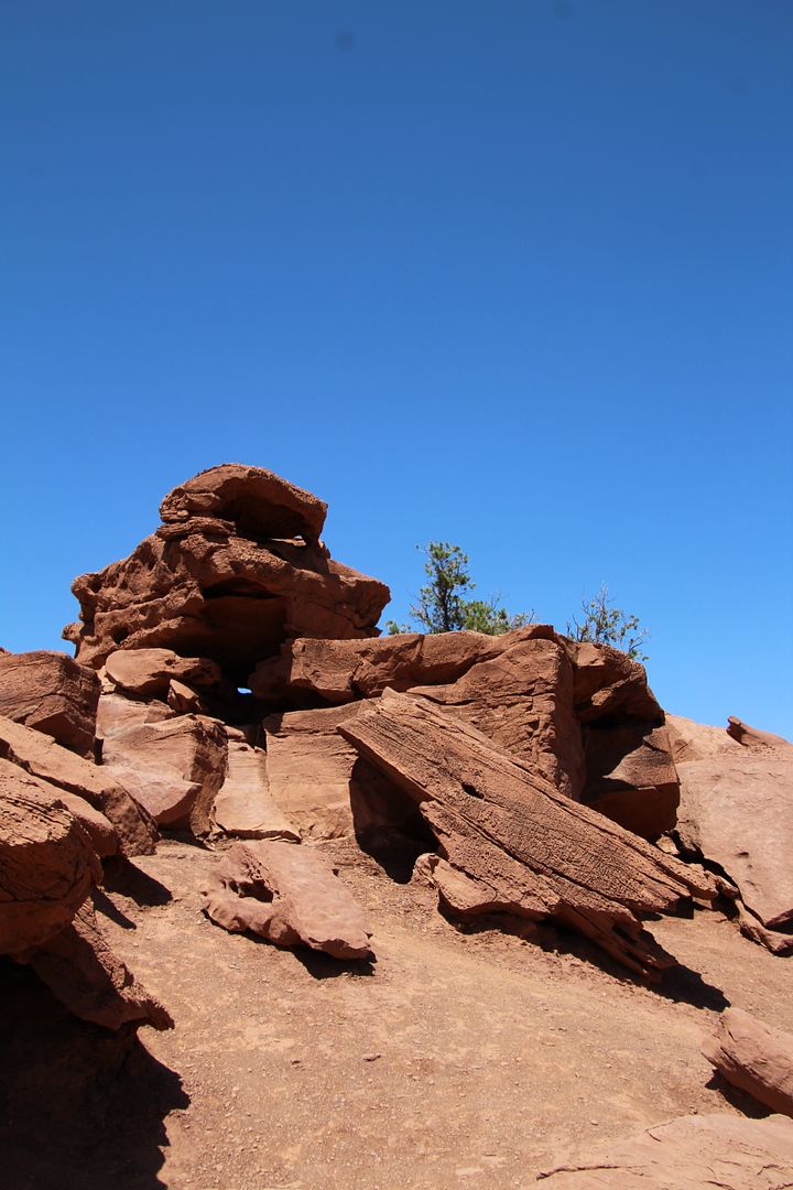
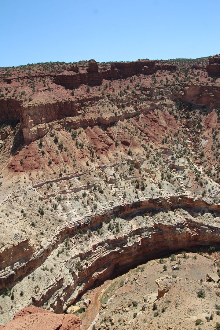
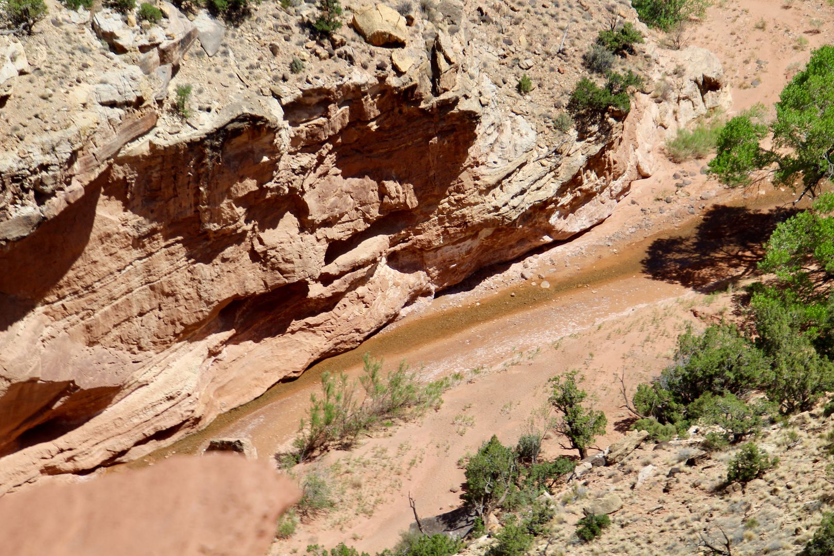
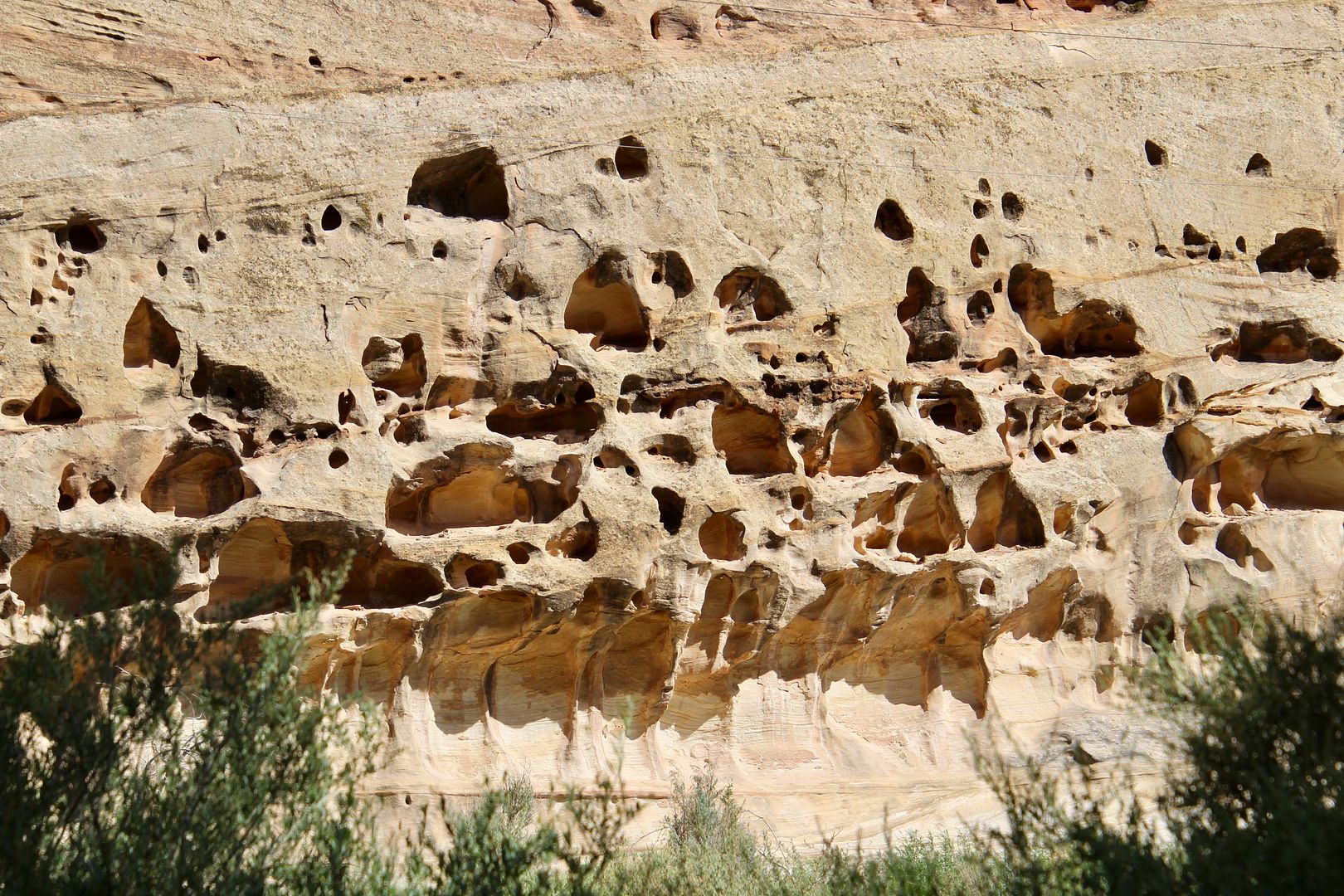
As we followed the path to the overlook, we saw lots of interesting erosion patterns on the rocks.
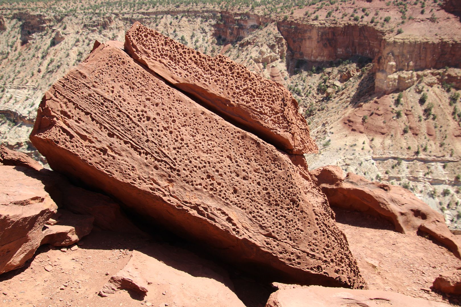
Sulphur Creek (a tributary of the Colorado River) can be seen 800’ below the point. The tight turns of the creek here are how the area got its name.
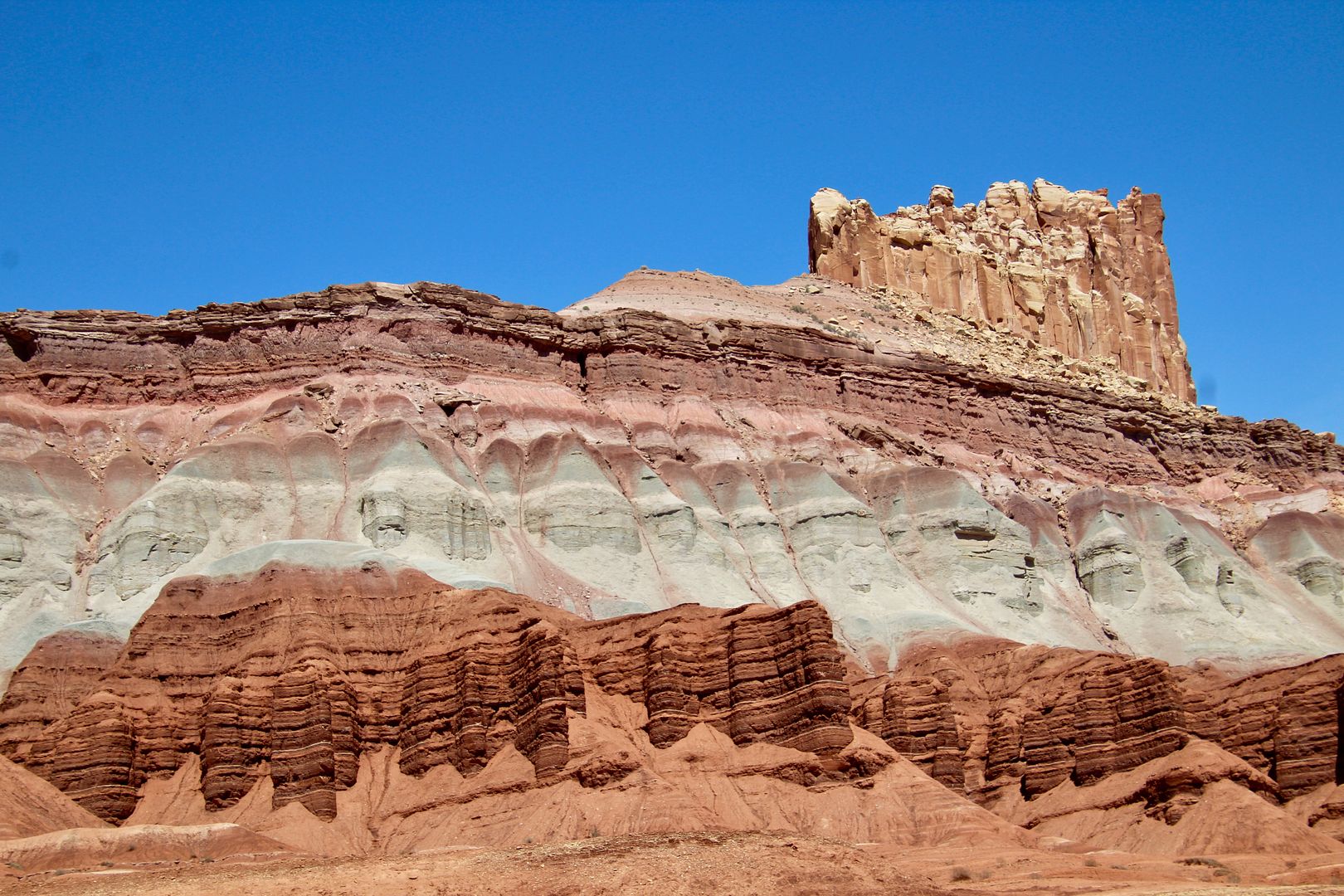
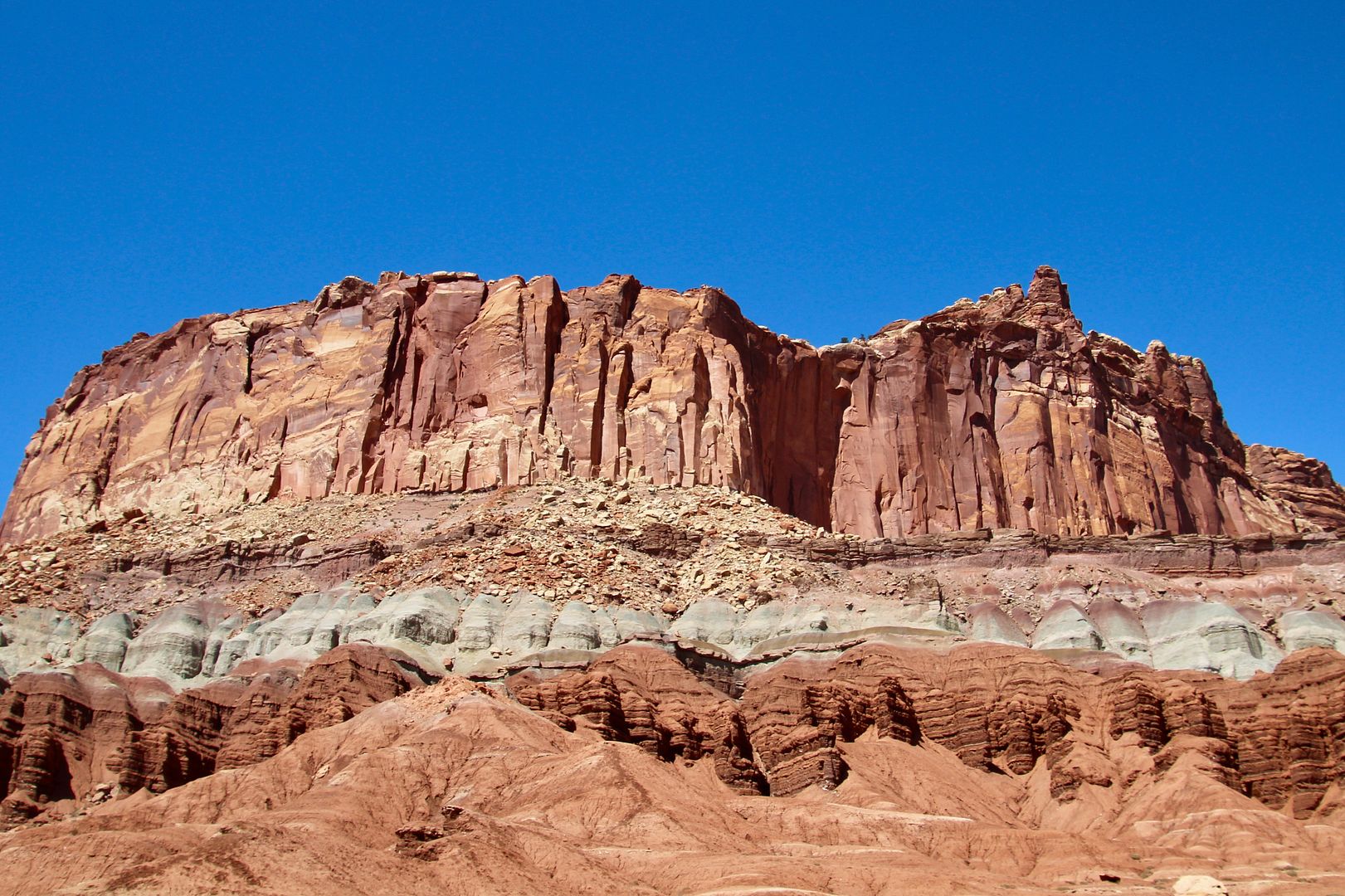
Millions years of geology are revealed by the three rock layers at this site, named The Castle. The bottom layer is Moenkopi Formation.(arid, subtropical land and shallow sea); the middle is the Chinle Formation (volcanic ash fell upon swampy floodplains; and, the top is Windgate Sandstone (solidified sand dunes) created the Castle and many other high cliffs in this area.
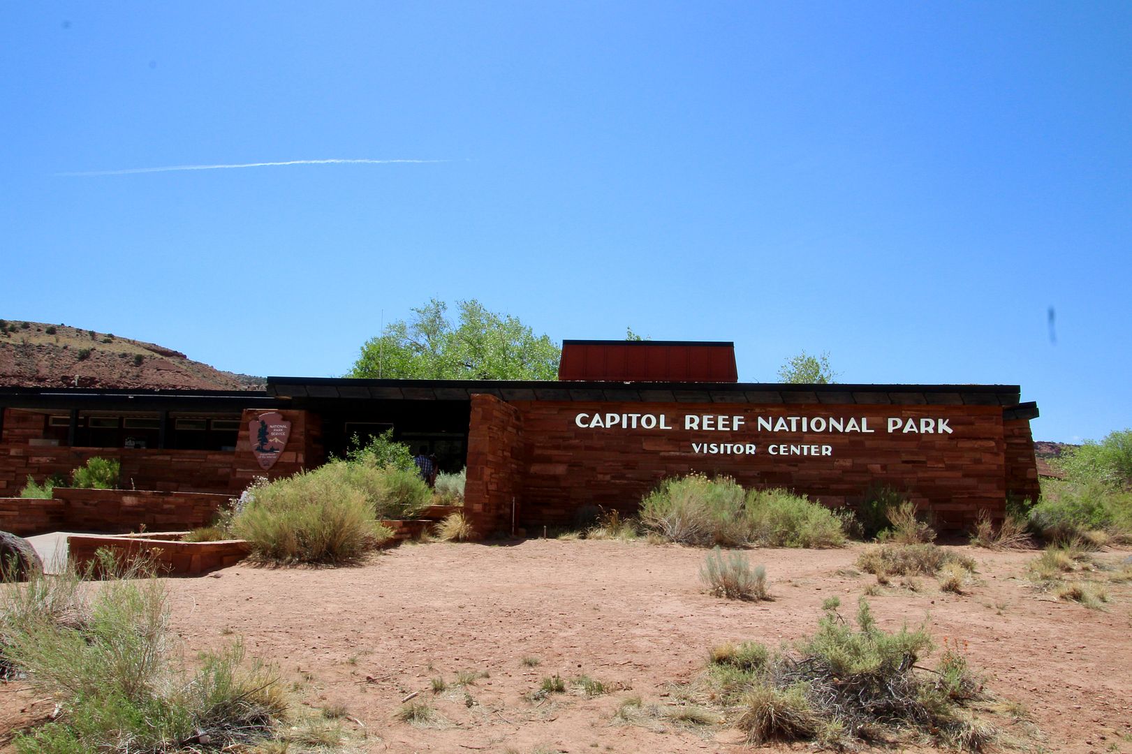
We stopped at the Visitor Center to learn about the geologic and cultural history of the area.
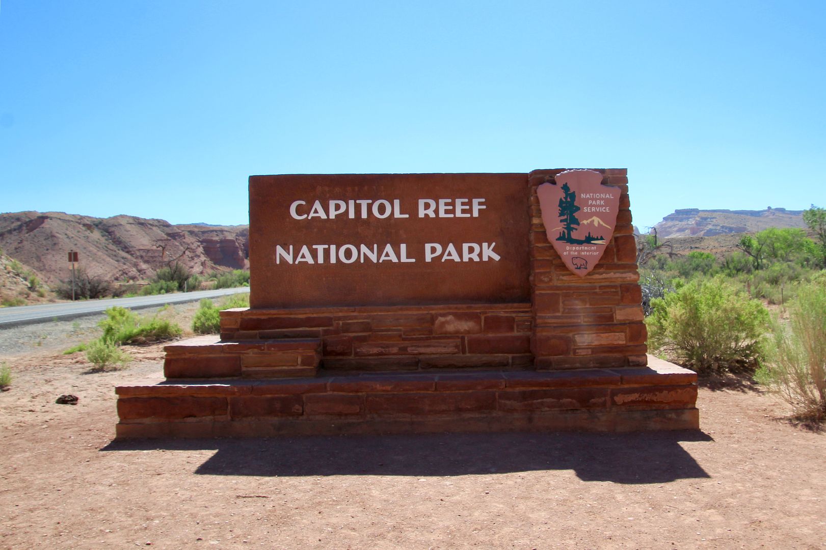
Capital Reef was designated a national monument in 1937. It then became a national park in 1971, preserving the unique geologic features, archeological sites, diverse plants and animals of the area, as well as the homesteads of early Mormon settlers.
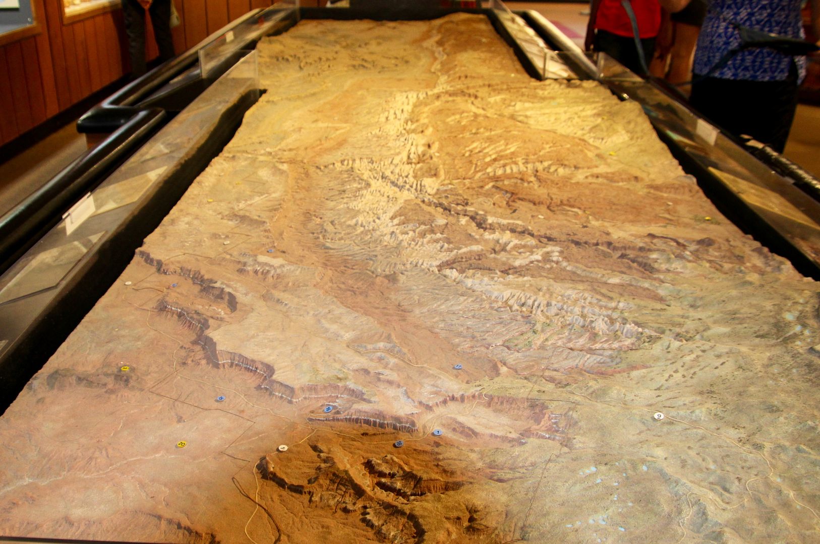
There are four districts in the park: Cathedral district (four-wheel vehicle needed to drive 60-loop dirt road through the area); Historic District (where Mormons settled); the Scenic Drive; and, the Waterpocket District (that we drove through yesterday on Notom-Bullfrog Road). A topographical map enabled us to better understand the landscape of each.
Continuing our exploration of the sights along Highway 24 of the park, we stopped to check out this small school house. Built in 1896, it was the only public building the Mormons built in Fruita providing education for 6 to 28 students in grades one through eight. It also served as a church and community center. The school closed in 1940.
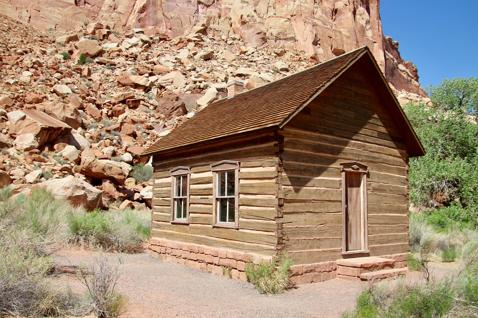
The school house is furnished with period classroom furniture/items, but was locked when we visited. Next to the school house is the Amasa Pierce Orchard. A fruit farmer, he and his wife were instrumental in building the school house.
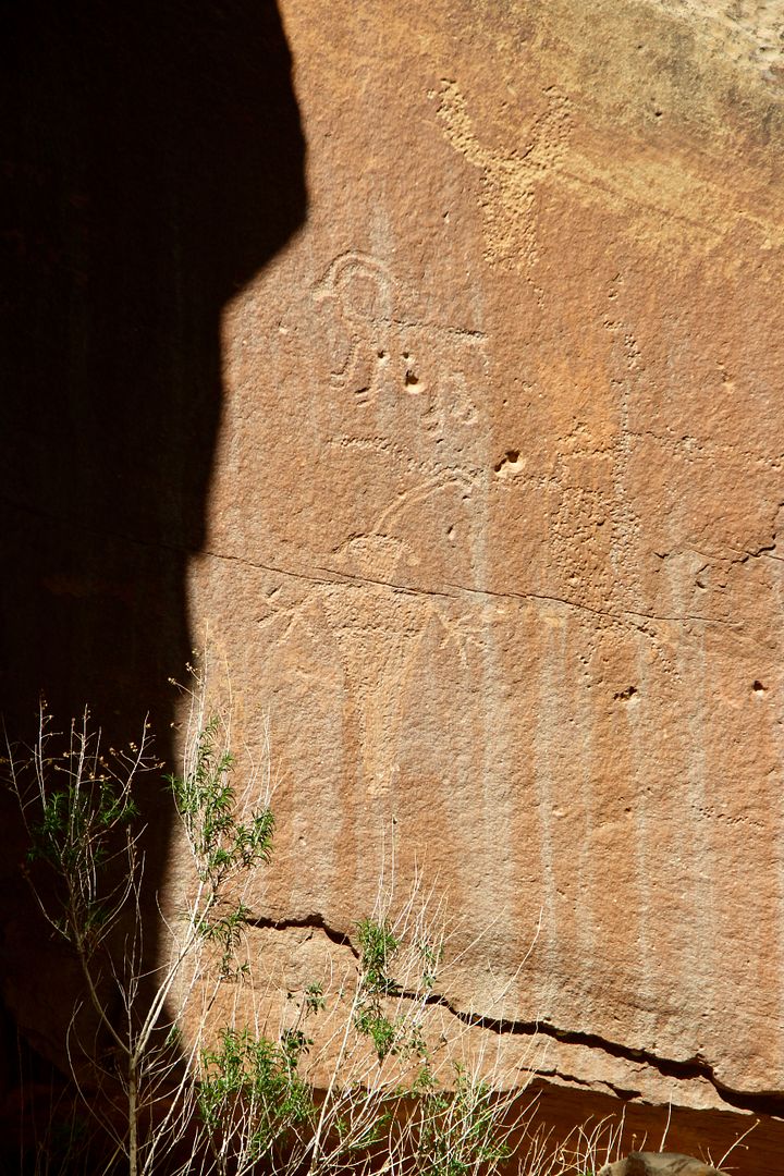
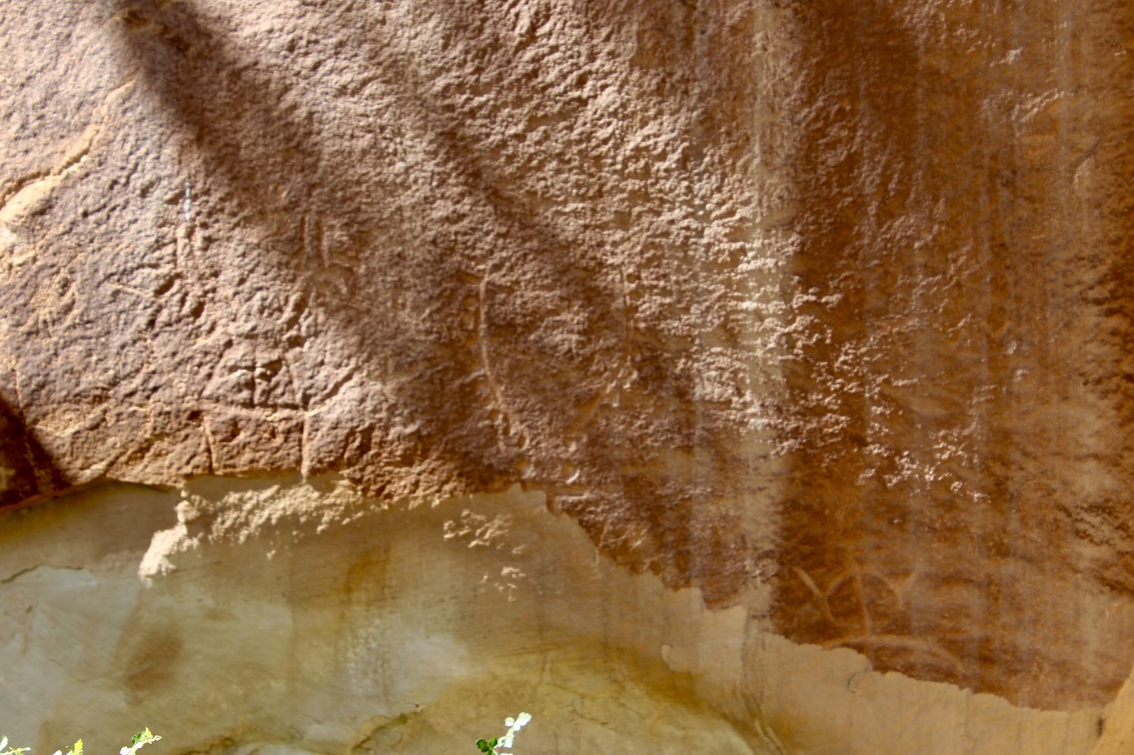
Next we stopped to see the petroglyphs carved into the Wingate sandstone cliff walls along Highway 24. Native people of the Fremont Culture lived in Capitol Reef from about AD 600 to 1300. The Hopi, Zuni, and Paiute are believed to be descendants of these original inhabitants. The images include primarily anthropomorphs and bighorn sheep (among other images).
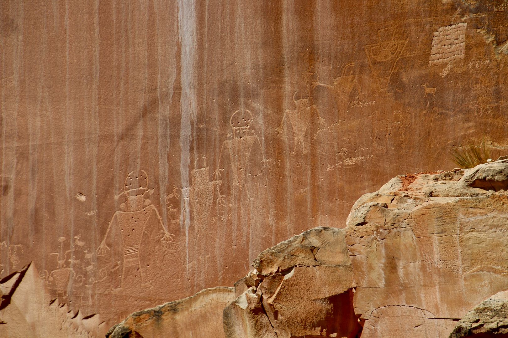
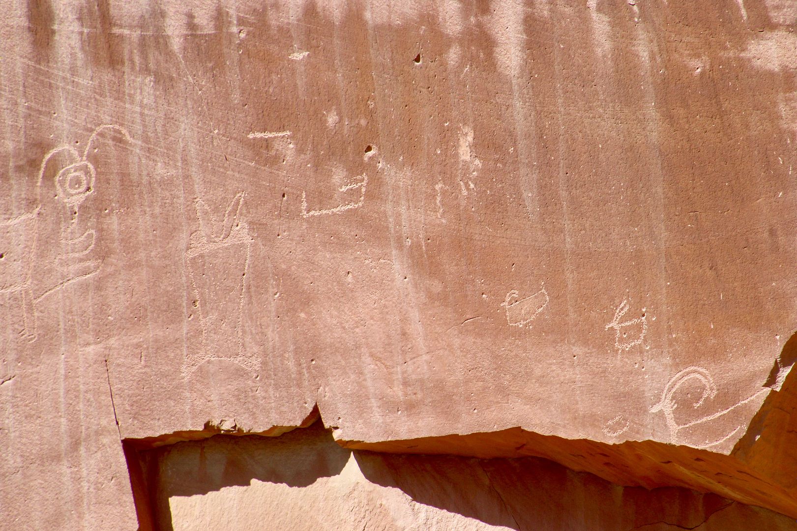
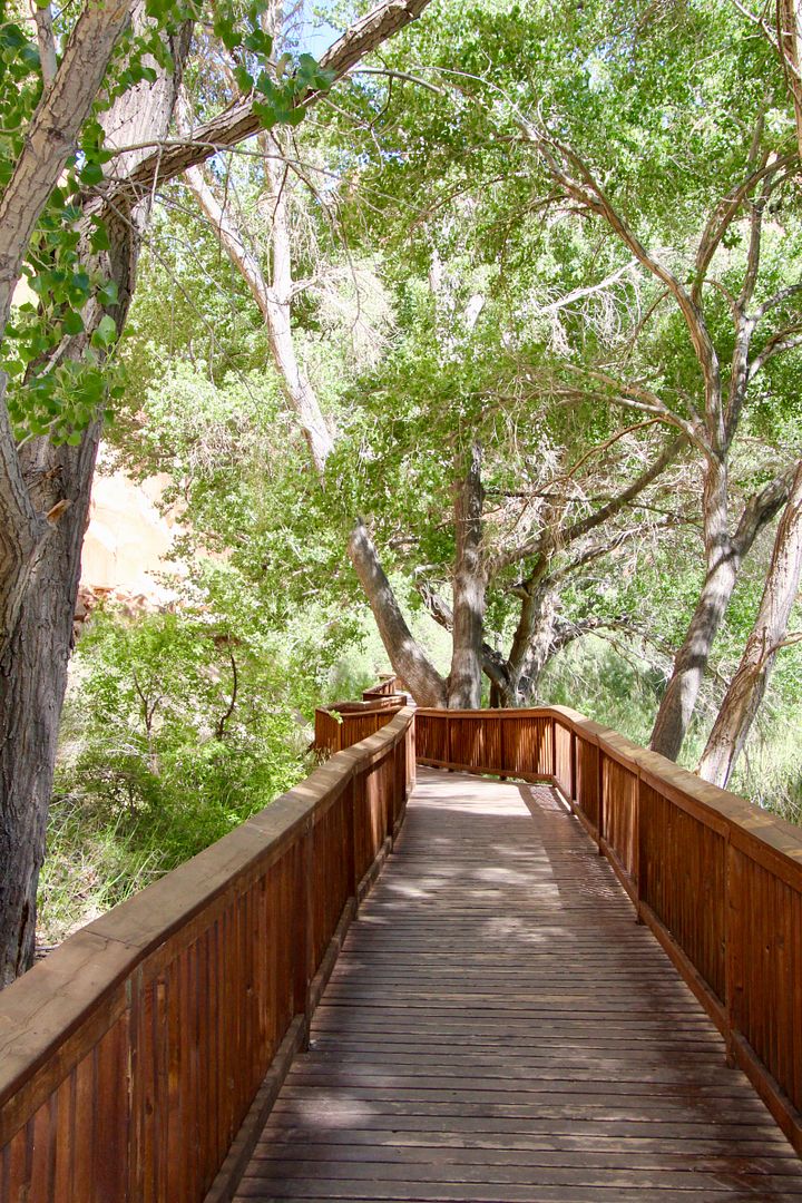
Continue on the boardwalk to see more petroglyphs here.
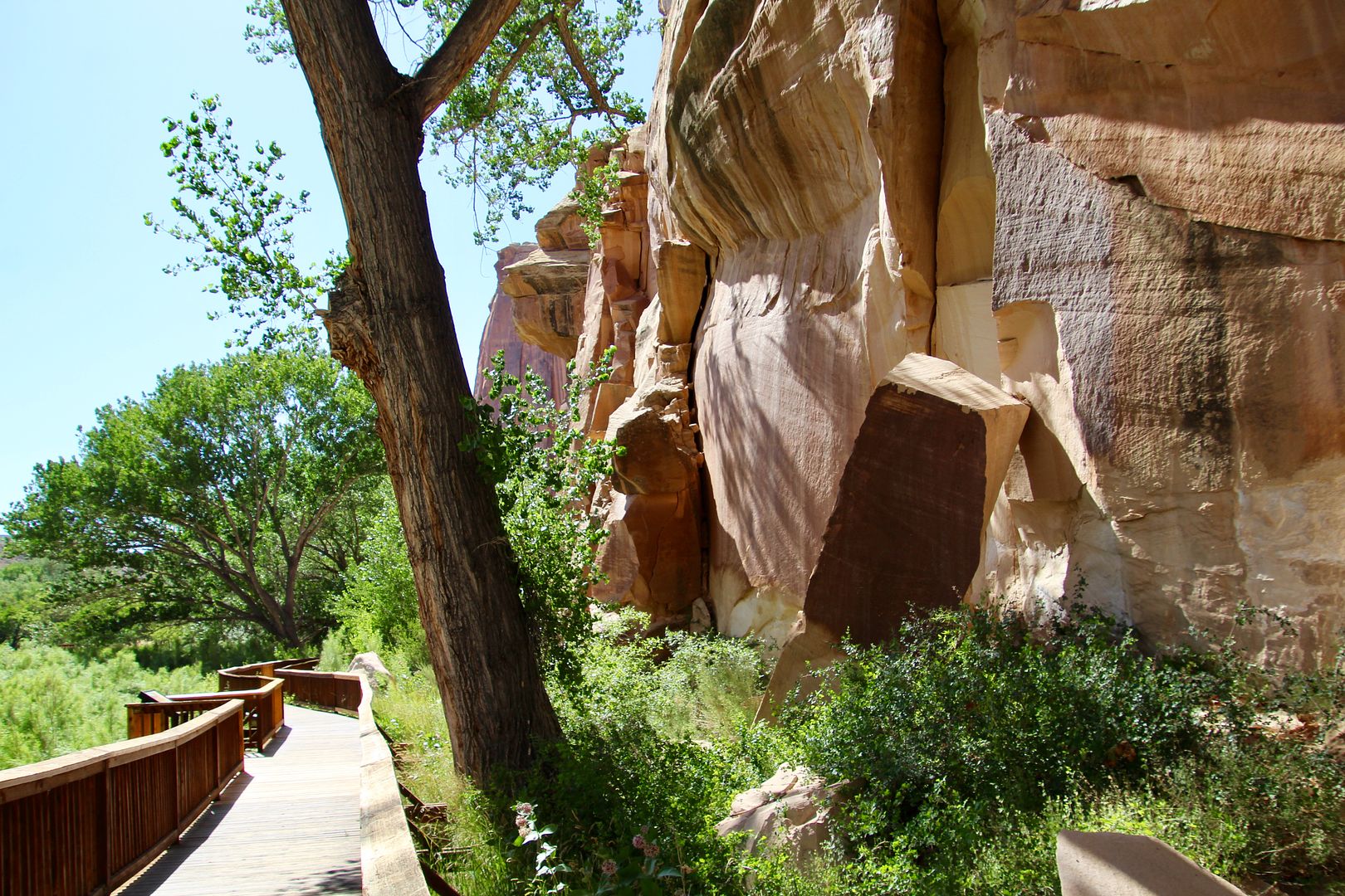
Also visible from this area is Capitol Dome, a Navajo Sandstone geologic feature that was so named due to its resemblance to the US Capitol building.
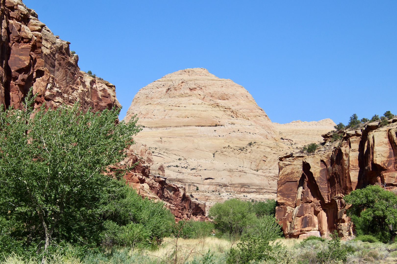
The 100-mile Waterpocket Fold essentially formed a barrier to east-west travel in the area (like a barrier “reef”). The large round holes formed by erosion holds water when it rains, hence the term “waterpocket.” Both geologic features (Capitol Dome and the “reef”) became the name of the region.
We are enchanted by the beauty of this region...and there is so much more to see and do in the park!
For additional information about Capitol Reef National Park, go to www.nps.gov/care.
No comments:
Post a Comment