After visiting the local Information Center, we decided to begin our two-week stay near Capitol Reef National Park with a scenic loop drive of the region. From where we were staying (Sandcreek RV Park in Torrey, UT), the route was Scenic Byway 12 south, to Burr Trail east, to Notom-Bullfrog Road north, to Highway 24 west back to Torrey (a total of about 120 miles with a portion of it gravel).
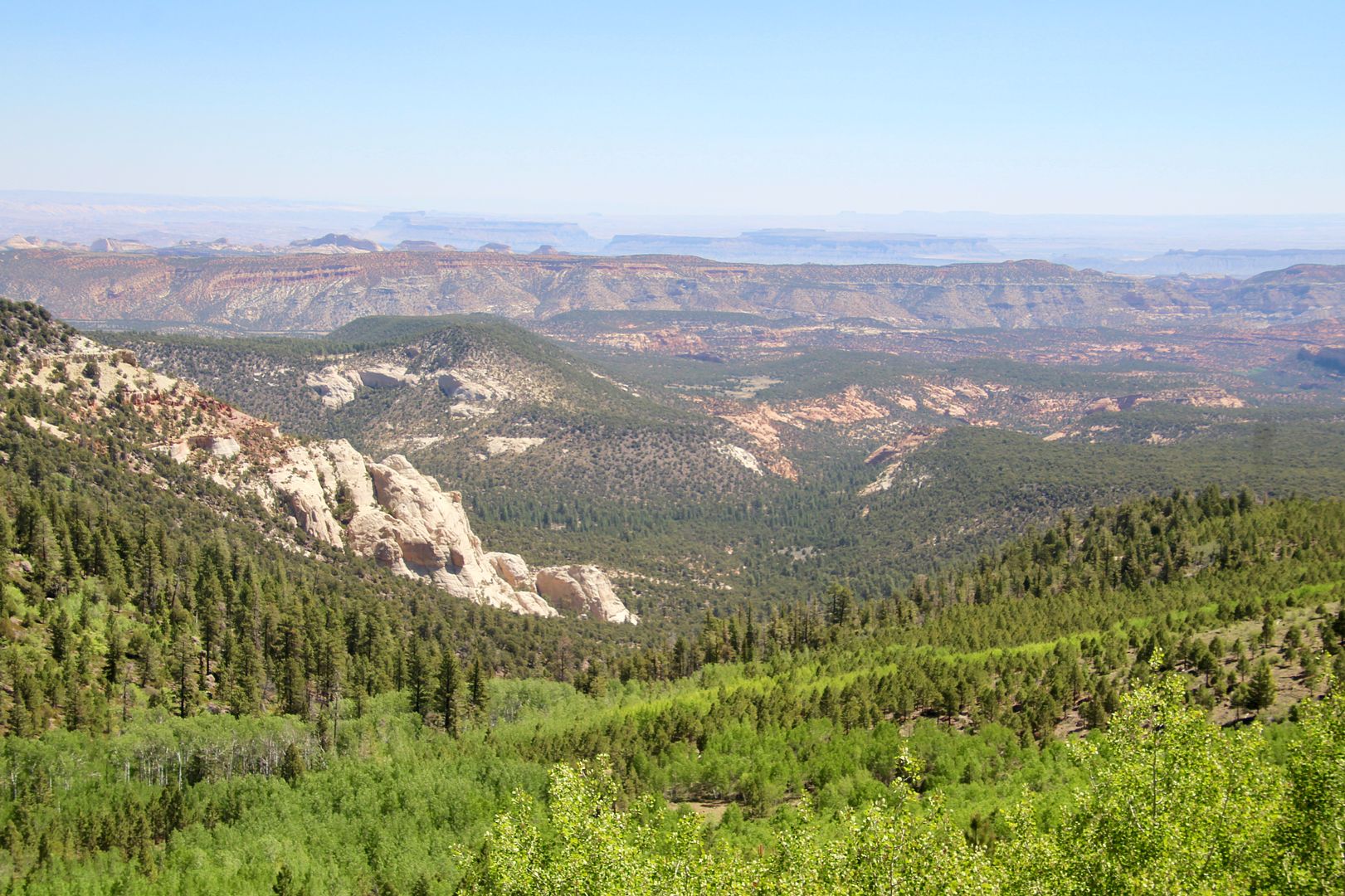
This area has three primary zones: the highlands, Capitol Reef, and the east desert. The portion of Scenic Byway 12 we travelled (Torrey to Boulder) took us through the Dixie National Forest on Boulder Mountain. The Forest stretches for about 170 miles and encompasses two million acres of land. It reaches over 11,000’ elevation at Blue Bell. Our first stop was at the Larb Hollow Overlook.
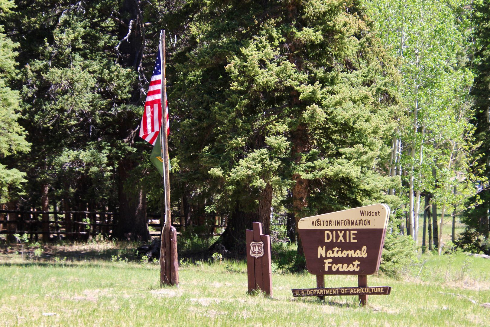
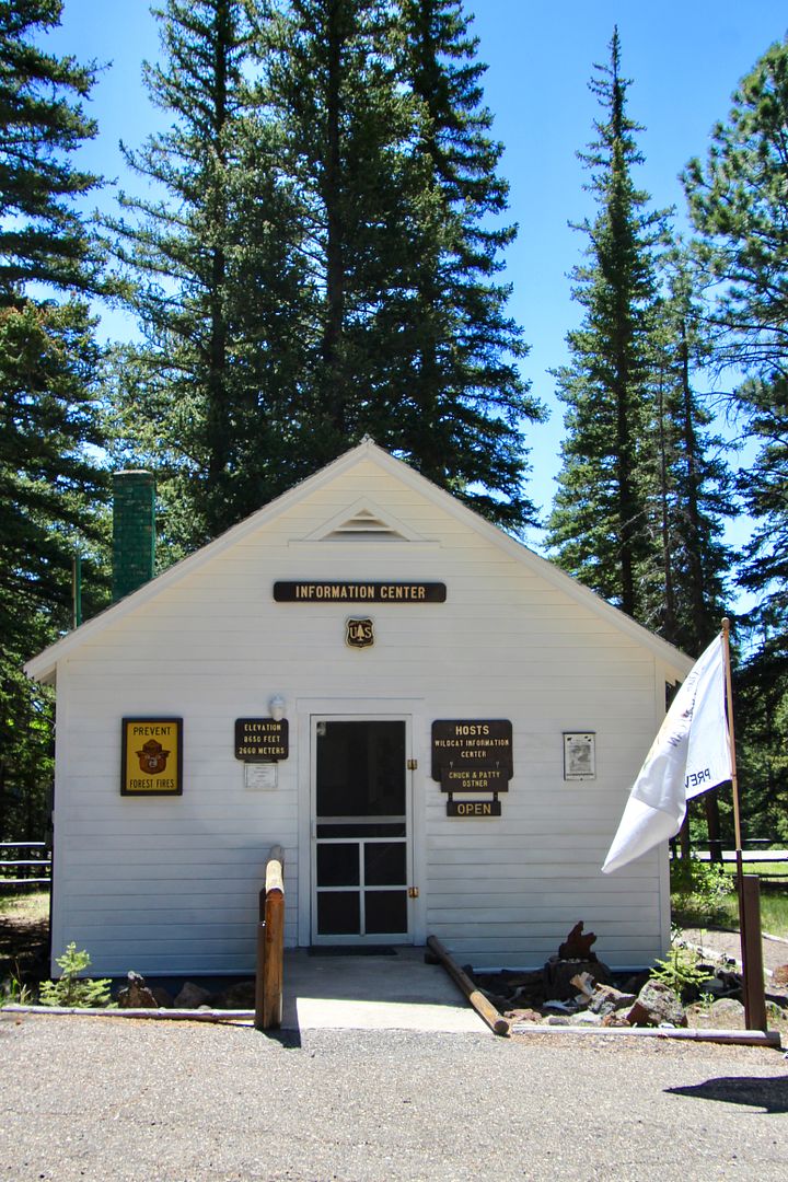
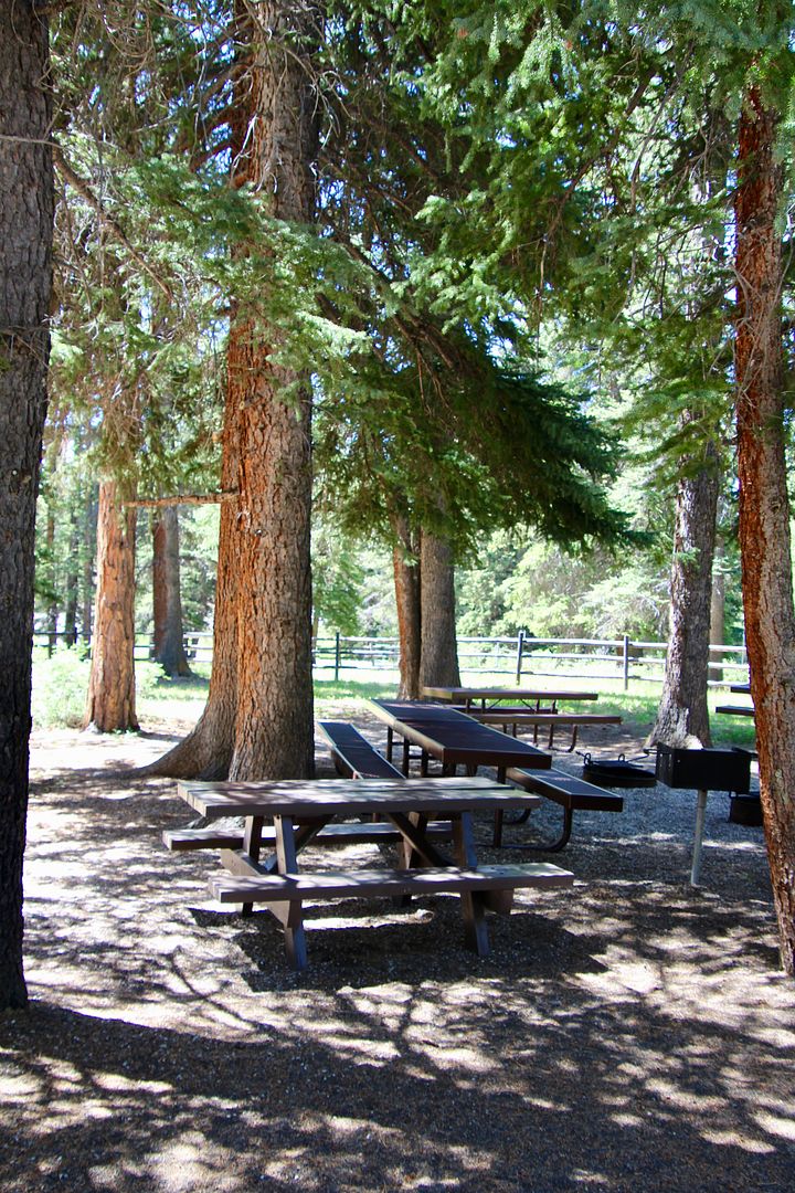
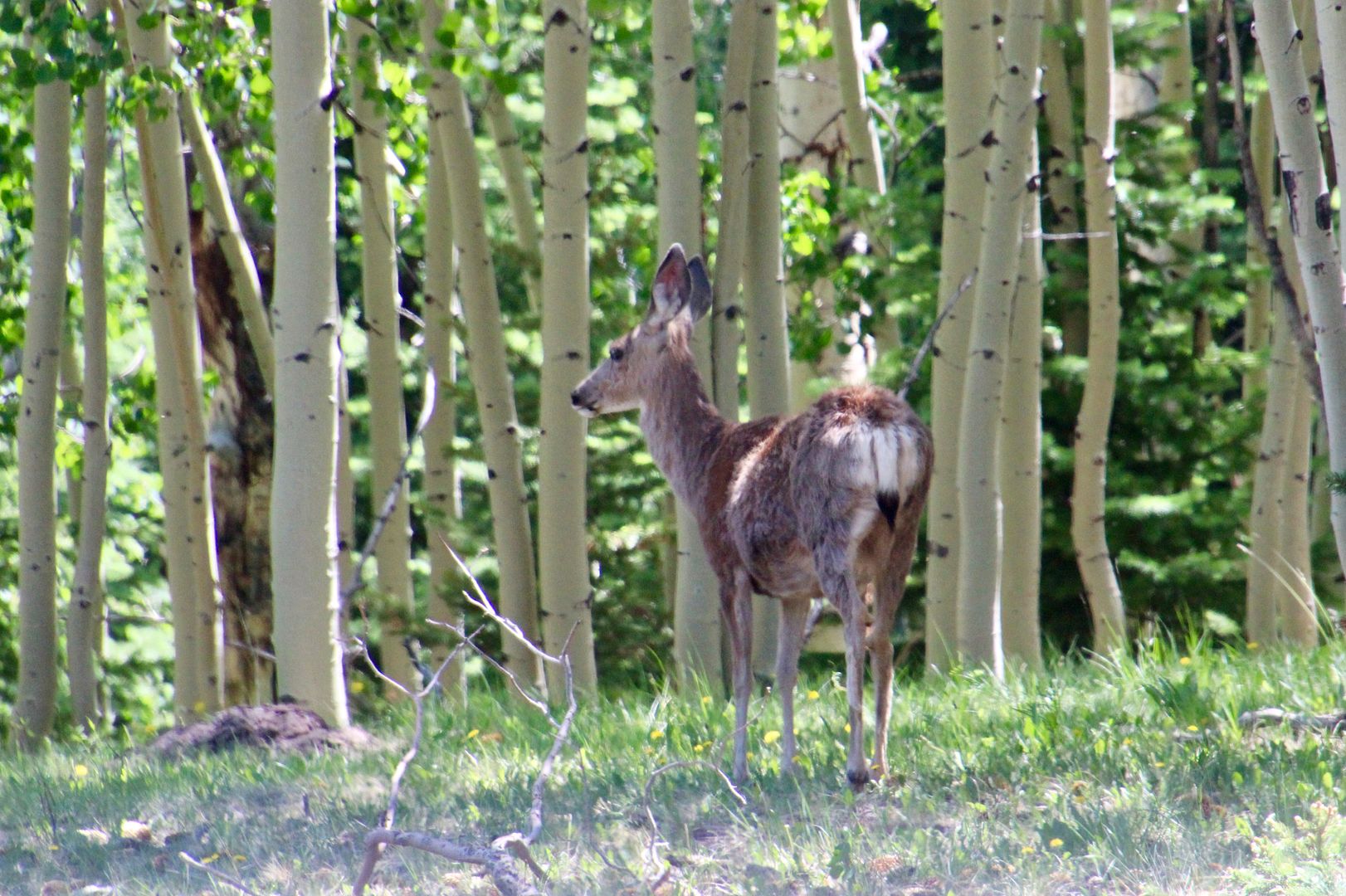
There is a small Dixie Forest Information Center with a picnic area nearby. The couple working there provided us with maps and other information about the forest. As we were leaving the area, we spotted this deer. It’s alway fun to see wildlife!
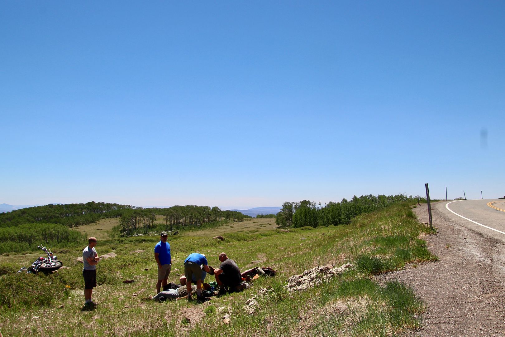
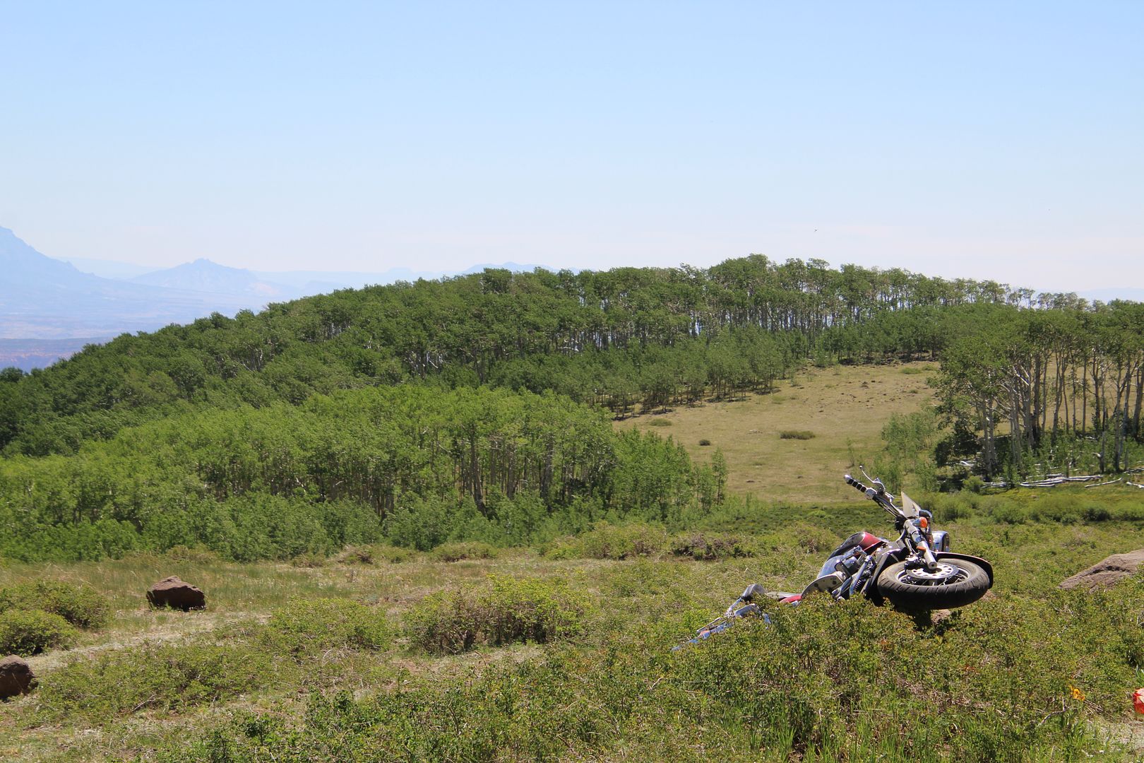
Near the 101 mile marker on the Rte 12, we came upon young man in the grass on the side of the road. John pulled over to see if he was okay. He wasn’t. He had a motorcycle accident and appeared to have a broken arm, collar bone, and not sure what else. Another car had stopped before us and drove to an area where they could call 911. We made him as comfortable as we could while waiting for an ambulance (knowing we were quite a distance from medical help). Fortunately, a car stopped with an ER doctor, 2 nurses, and a dentist, too! The MD checked him out and waited for the ambulance to arrive. Whew, we hope all turned out well for him. So upsetting, but at least his injuries did not appear to be life-threatening.
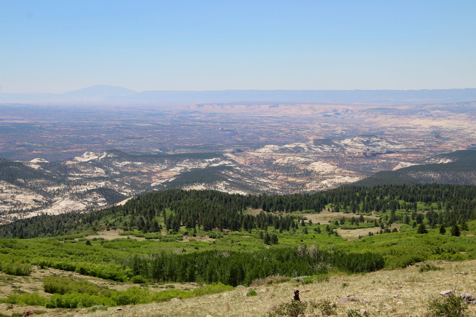
Continuing south on 12, we stopped at the Steep Creek overlook. What incredible views from Boulder Mountain!
When we reached the town of Boulder, we stopped at the Anasazi State Park (www.stateparks.utah.gov).
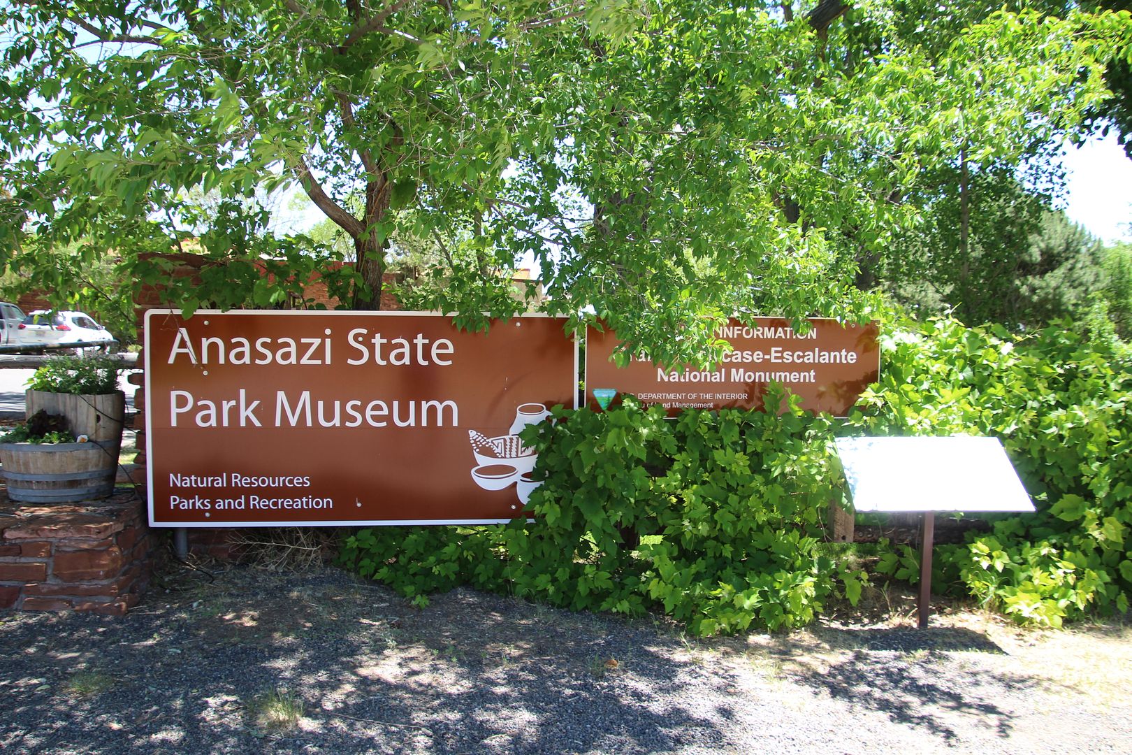
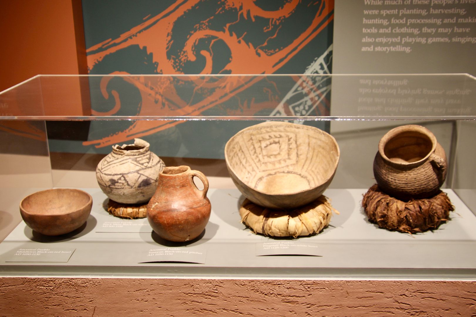
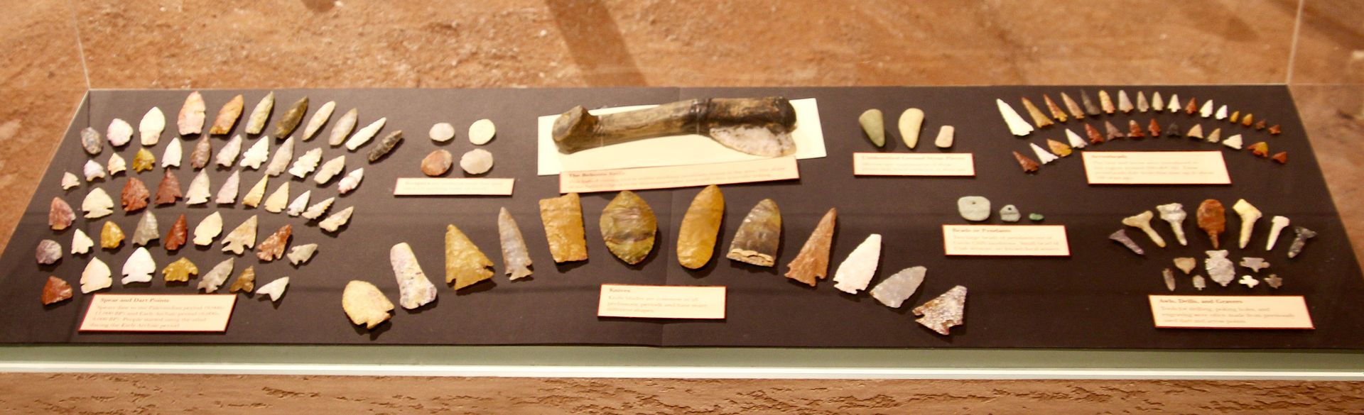
The park preserves the Coombs Site Ruins of Ancestral Puebloans (aka Anasazi). These Native Americans were farmers who lived in the southern Colorado Plateau (UT, CO, NM, AZ) and southern NV between AD 1 and 1300. First we visited the museum where there is an exhibit of the ruins.
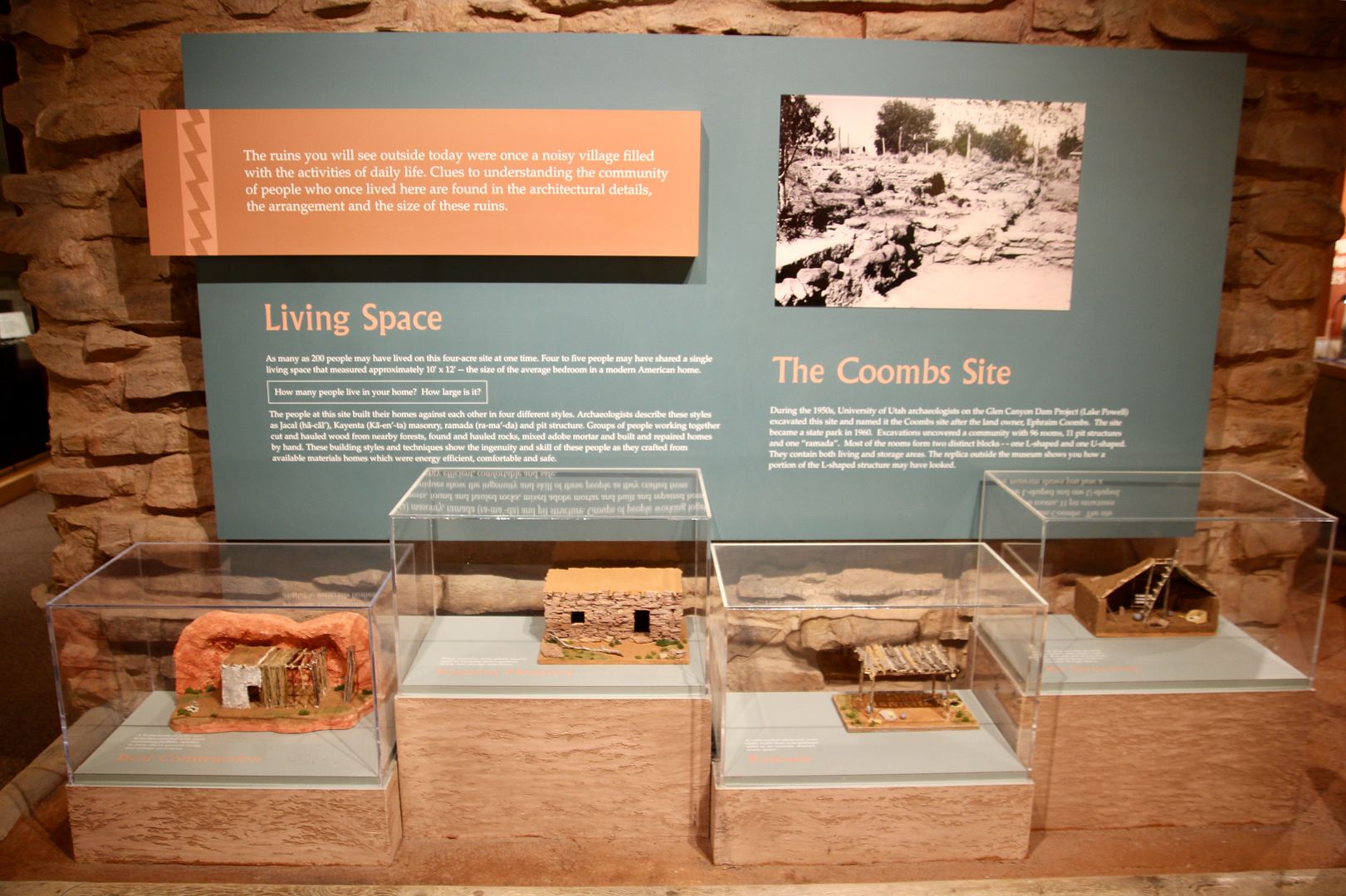
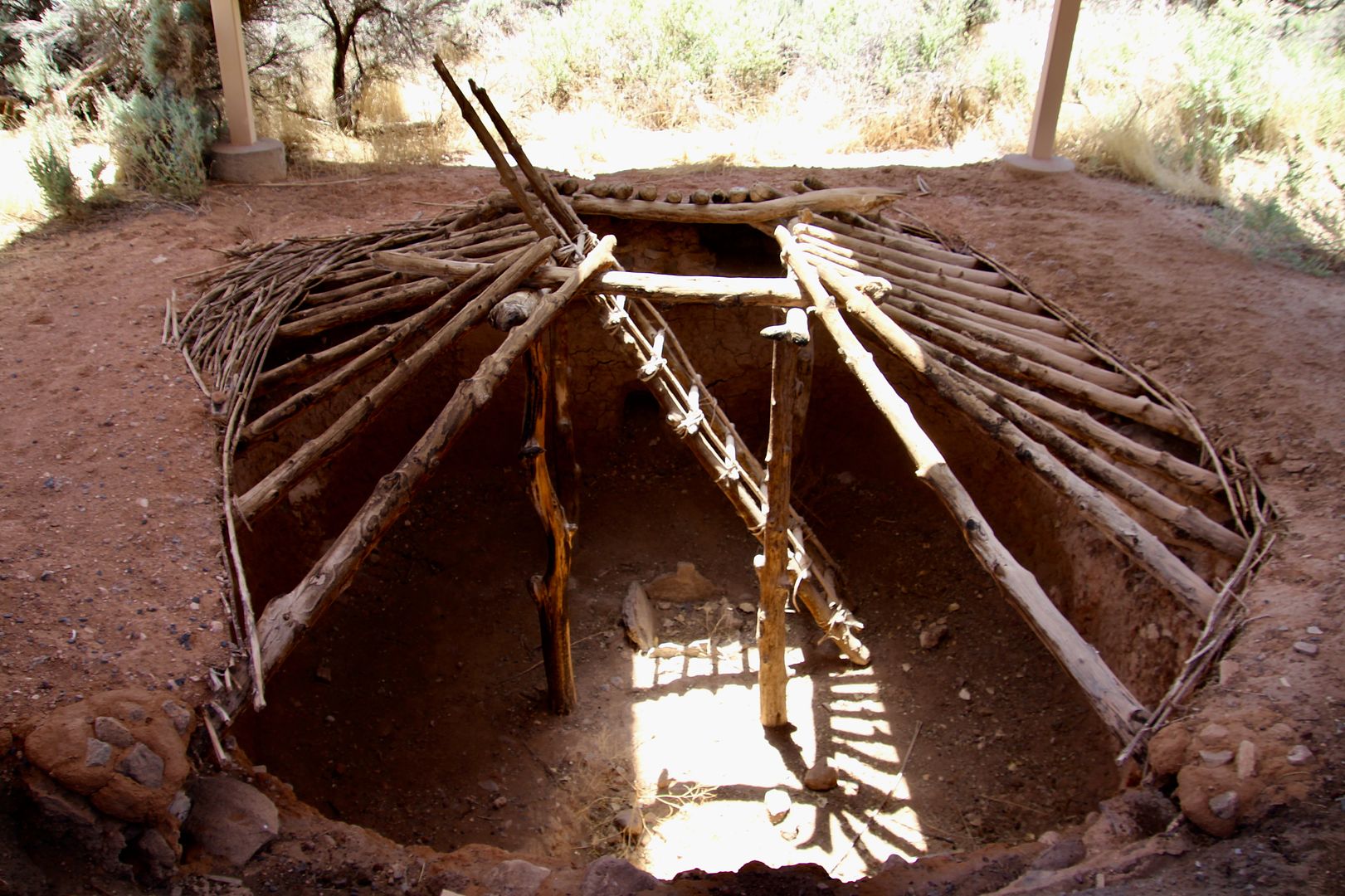
Ancient artifacts including pottery and arrowheads are on display as well as a model of a pit house.
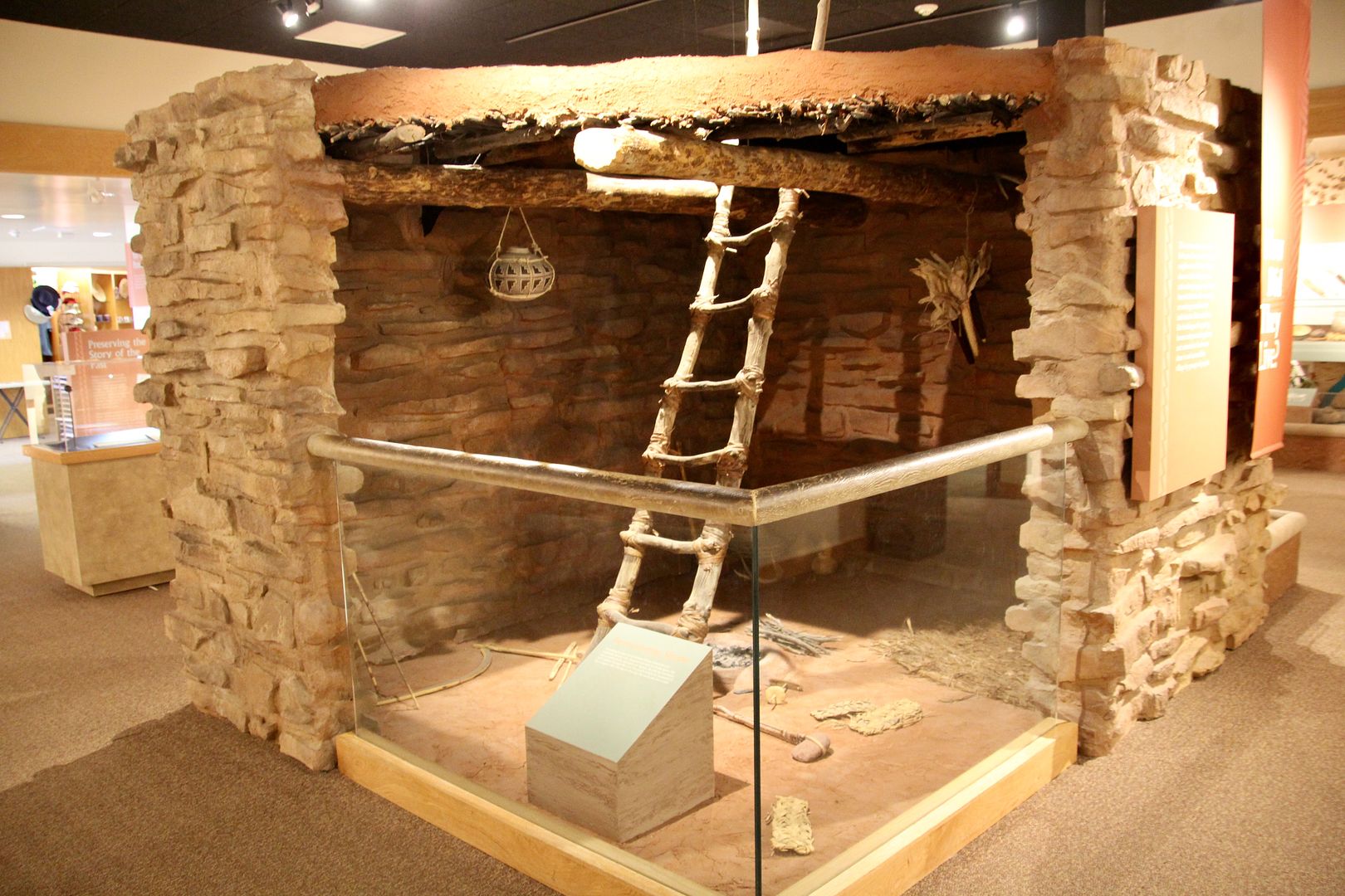
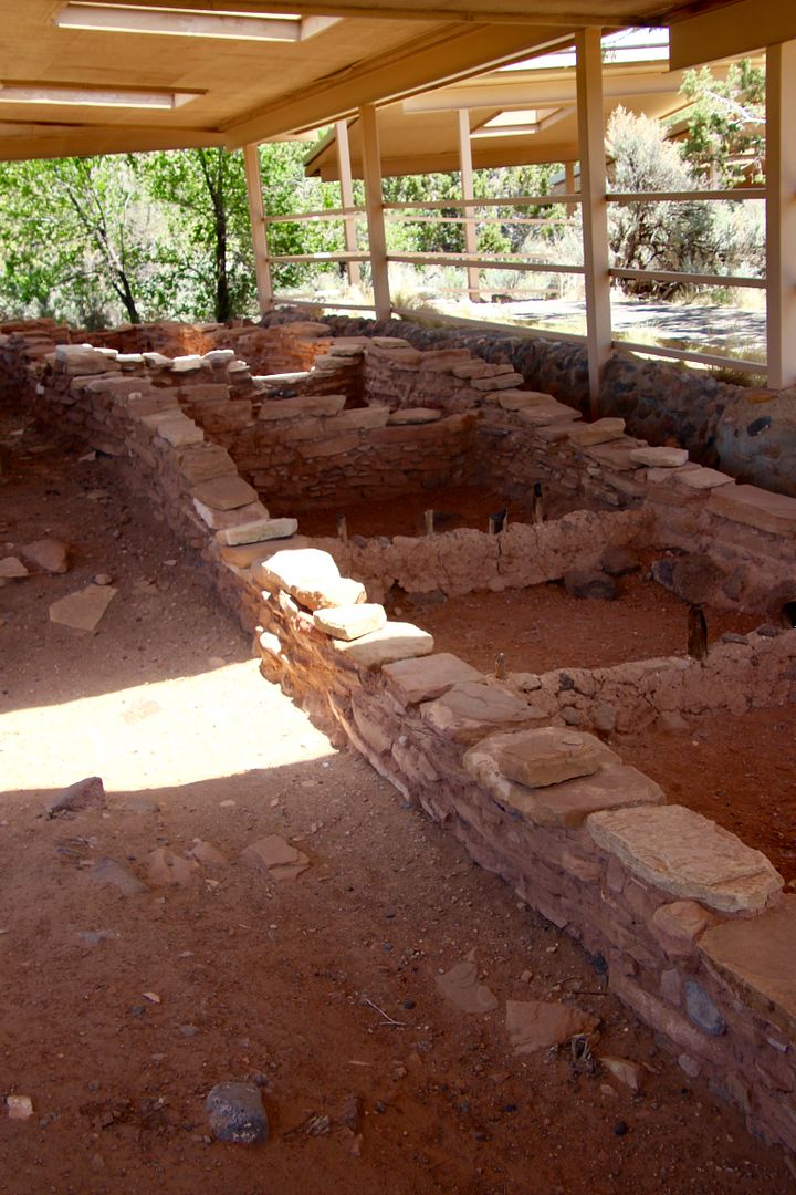
Behind the museum is a life-size, 6-room replica of part of the pueblo.
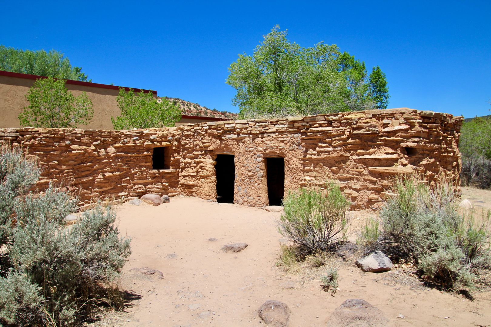
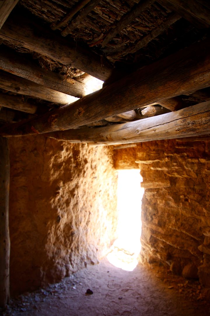
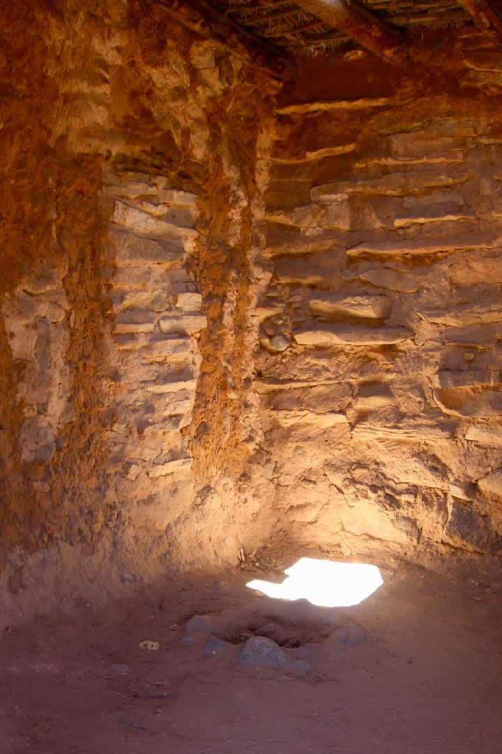
Multiple shelters have been built to protect the remains of the Coombs Site Ruins.
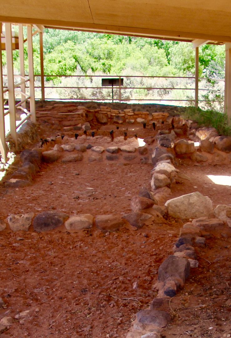
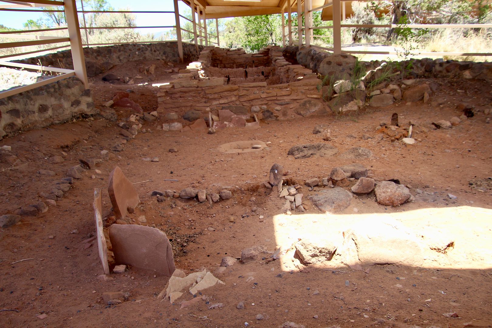
Tree ring dates of the timber used to build the structures indicate that they were built between AD 1129 and 1169. Excavation occurred in 1958-59, and again in 1970 and 1991. The excavations uncovered 97 rooms, 10 pit houses (see below), and hundreds of thousands of artifacts.
The men who lived here then were on average, 5’ 4” tall; and the women 5’3”, with a life expectancy of about 34 years. For unknown reasons, the village was abandoned about AD 1175.
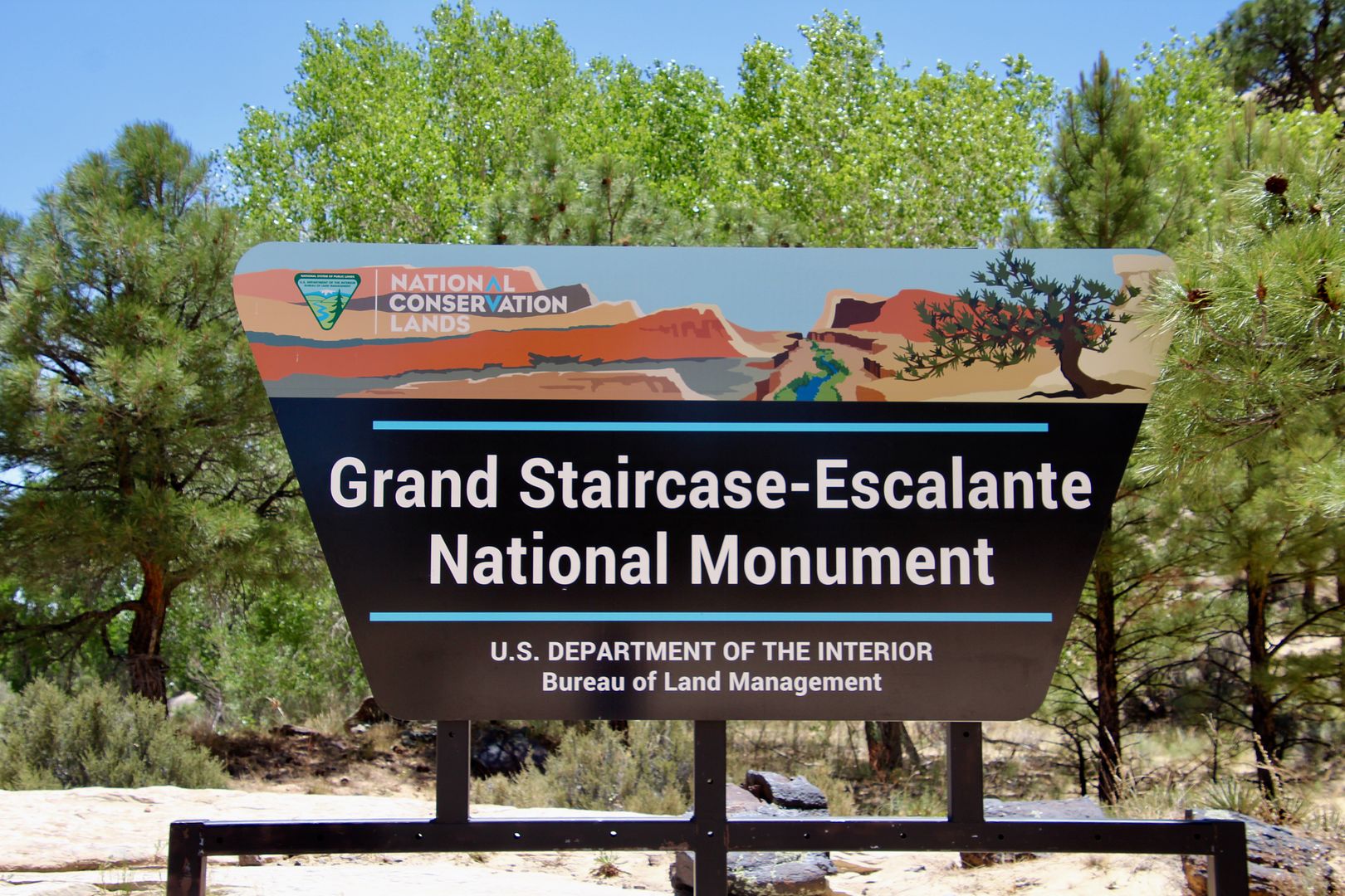
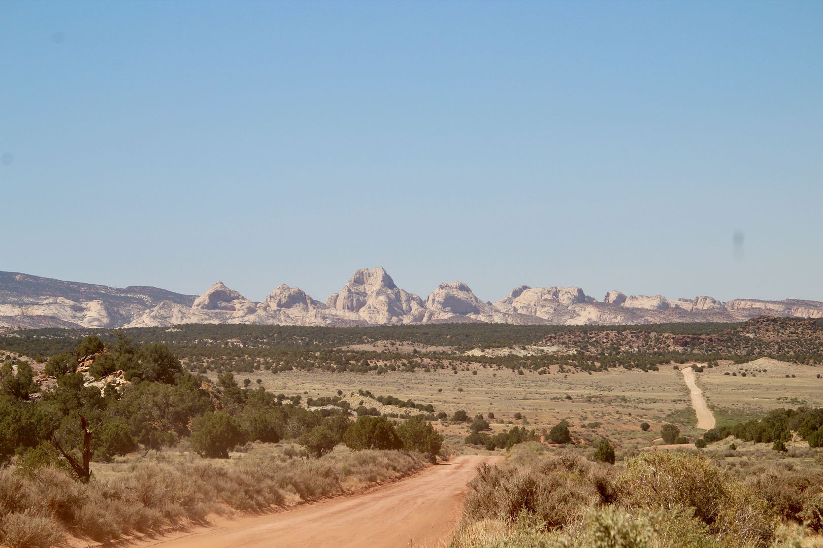
A short distance south of the park, we turned left onto Burr Trail Road, (paved for the first 31 miles) through a portion of the northernmost part of Grand Staircase-Escalante National Monument to Capitol Reef National Park.
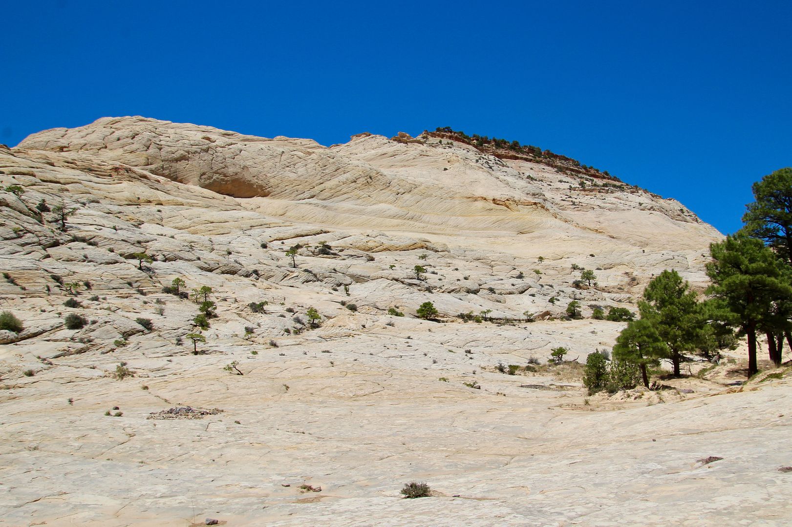
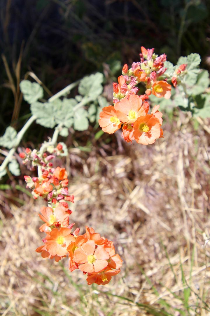
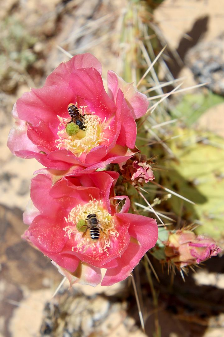
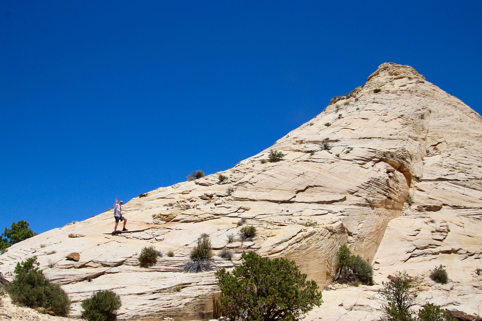
Slickrock can be seen for miles here, with various hardy plants finding some soil in which to grow.
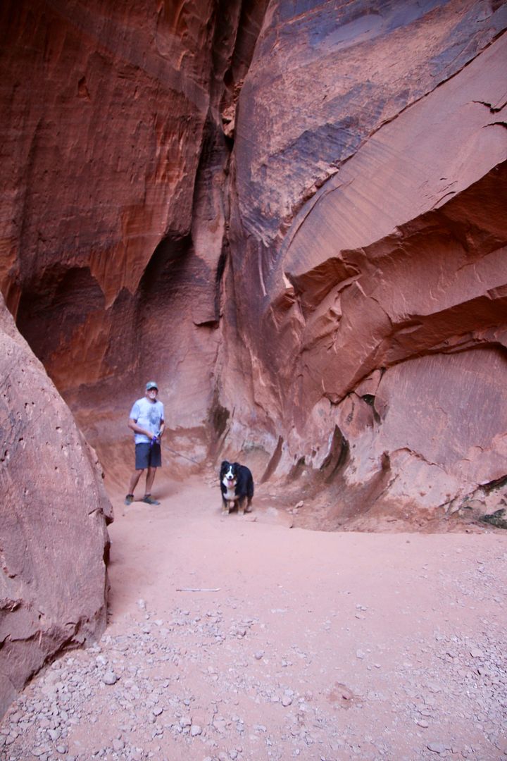
Can you see John in this photo? He was ready to do some rock-climbing!
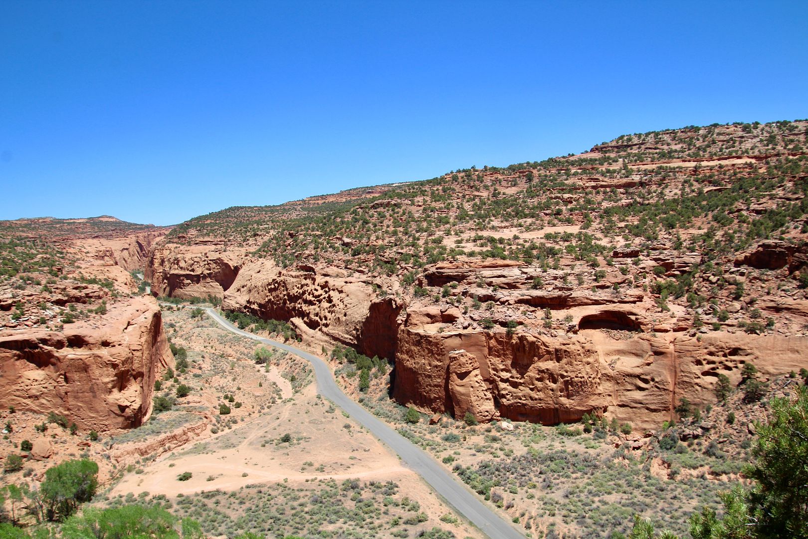
Below is a view of Burr Trail Road through Long Canyon.
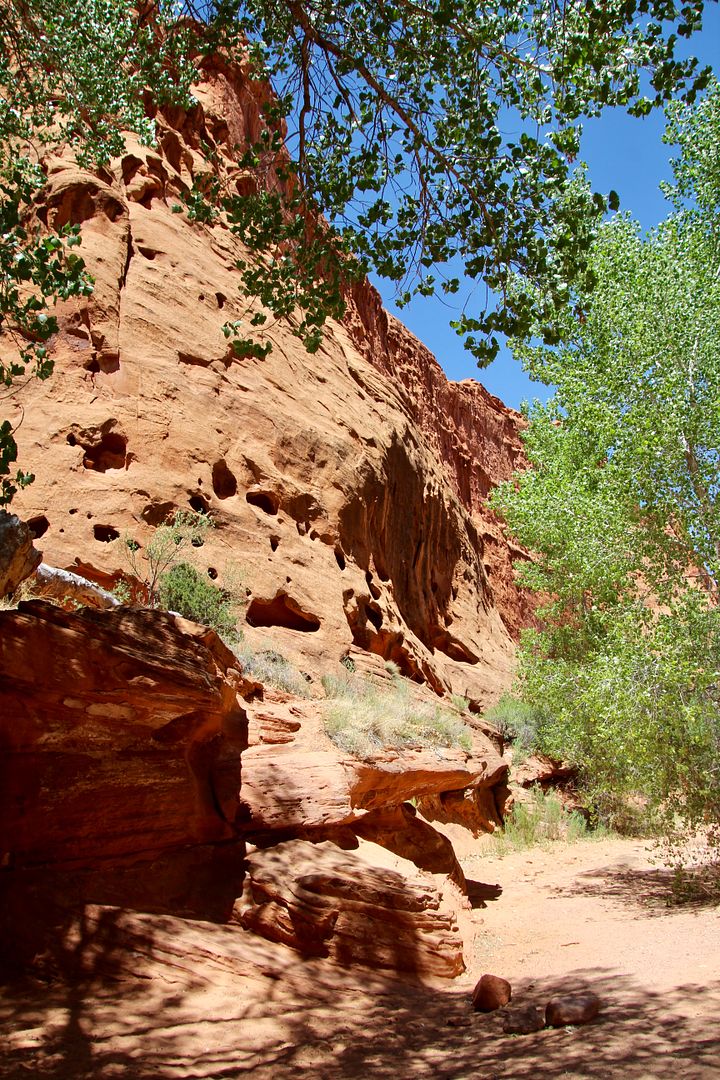
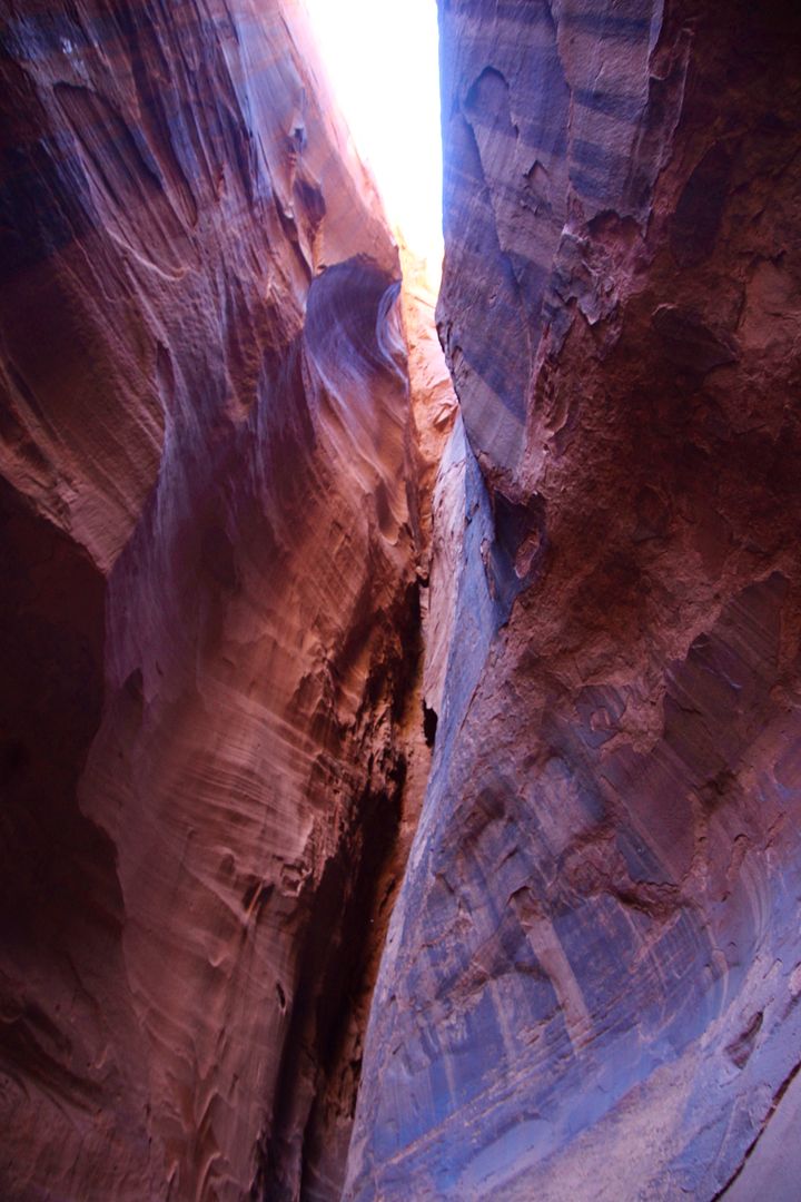
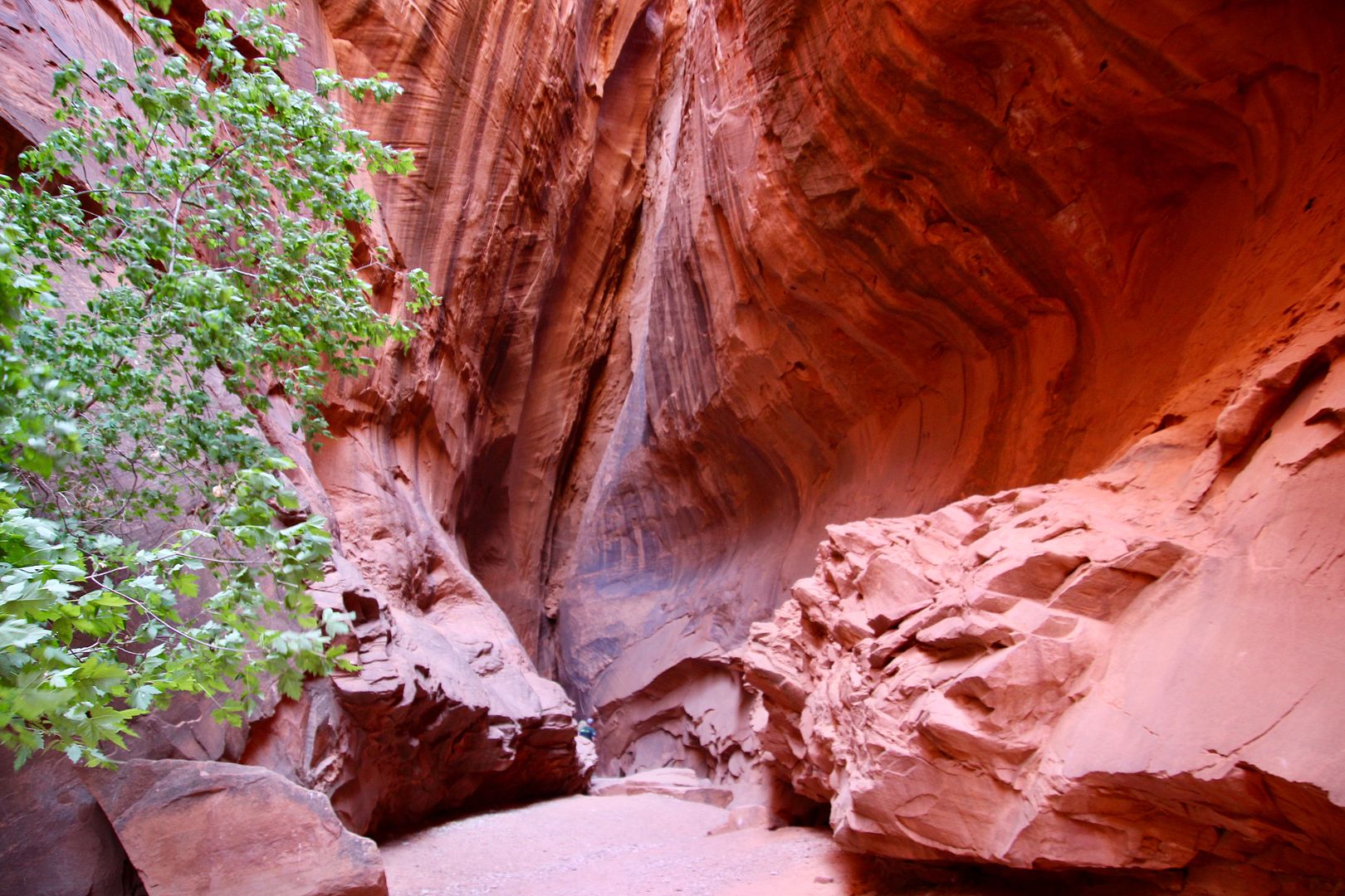
Be sure to stop at the slot canyon (about 11 miles east of Boulder). We found parking at the pull out and took the short walk to Long Canyon Slot. Behind a couple of trees is the entrance in the canyon wall to the narrow slot. It is strikingly beautiful!
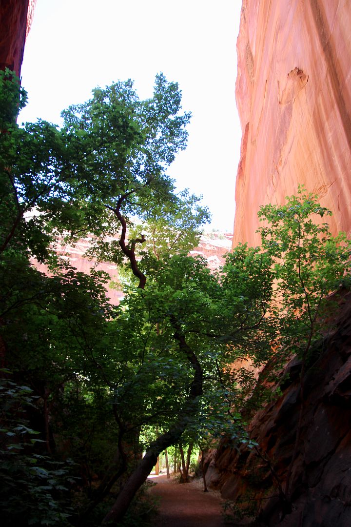
The road winds through red and white Navajo sandstone through Long Canyon, to the base of the Circle Cliffs, and to the views of the upturned layers of the Waterpocket Fold. We stopped frequently to snap photos of the spectacular views.
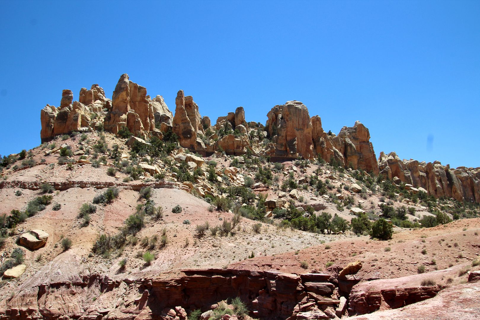
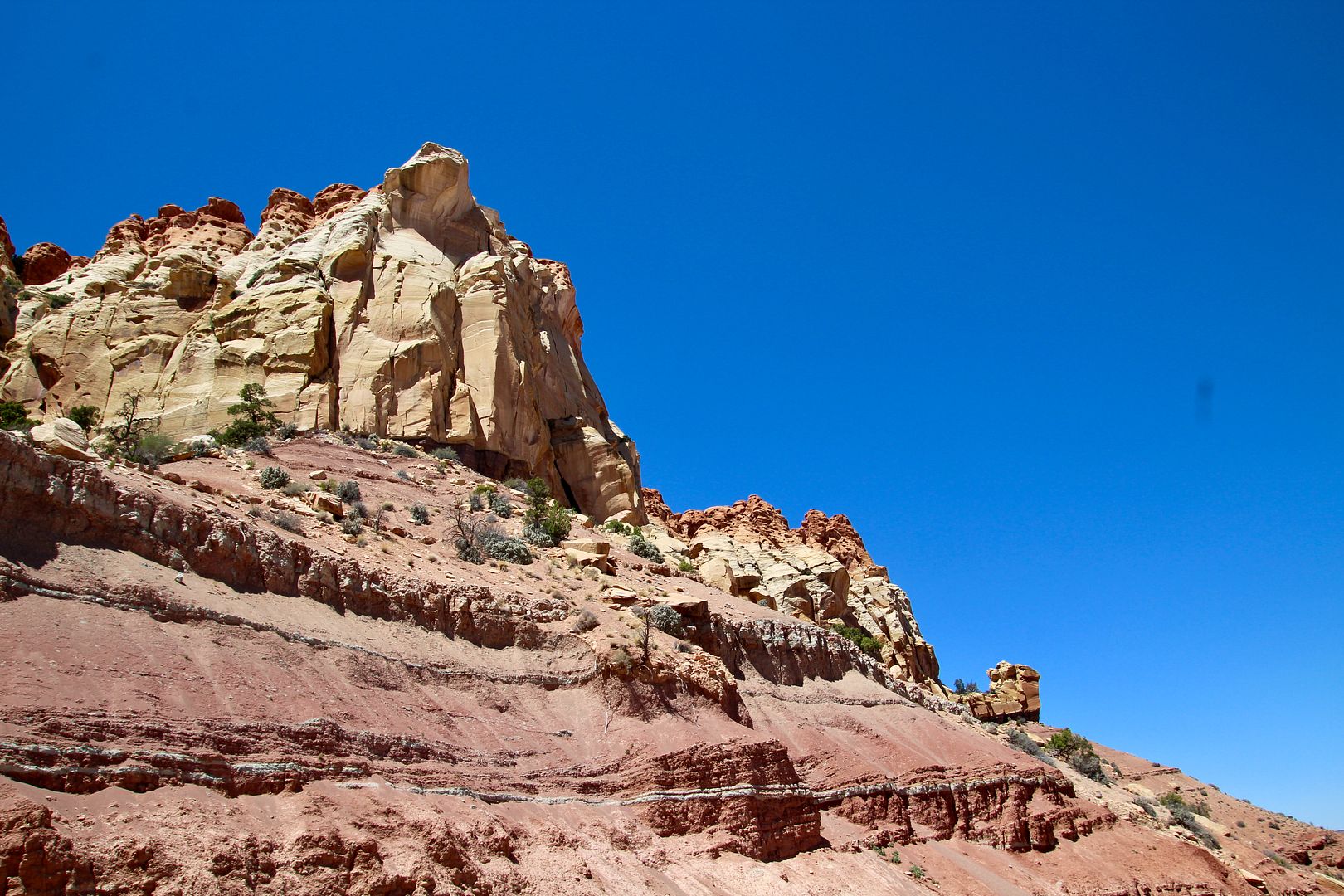
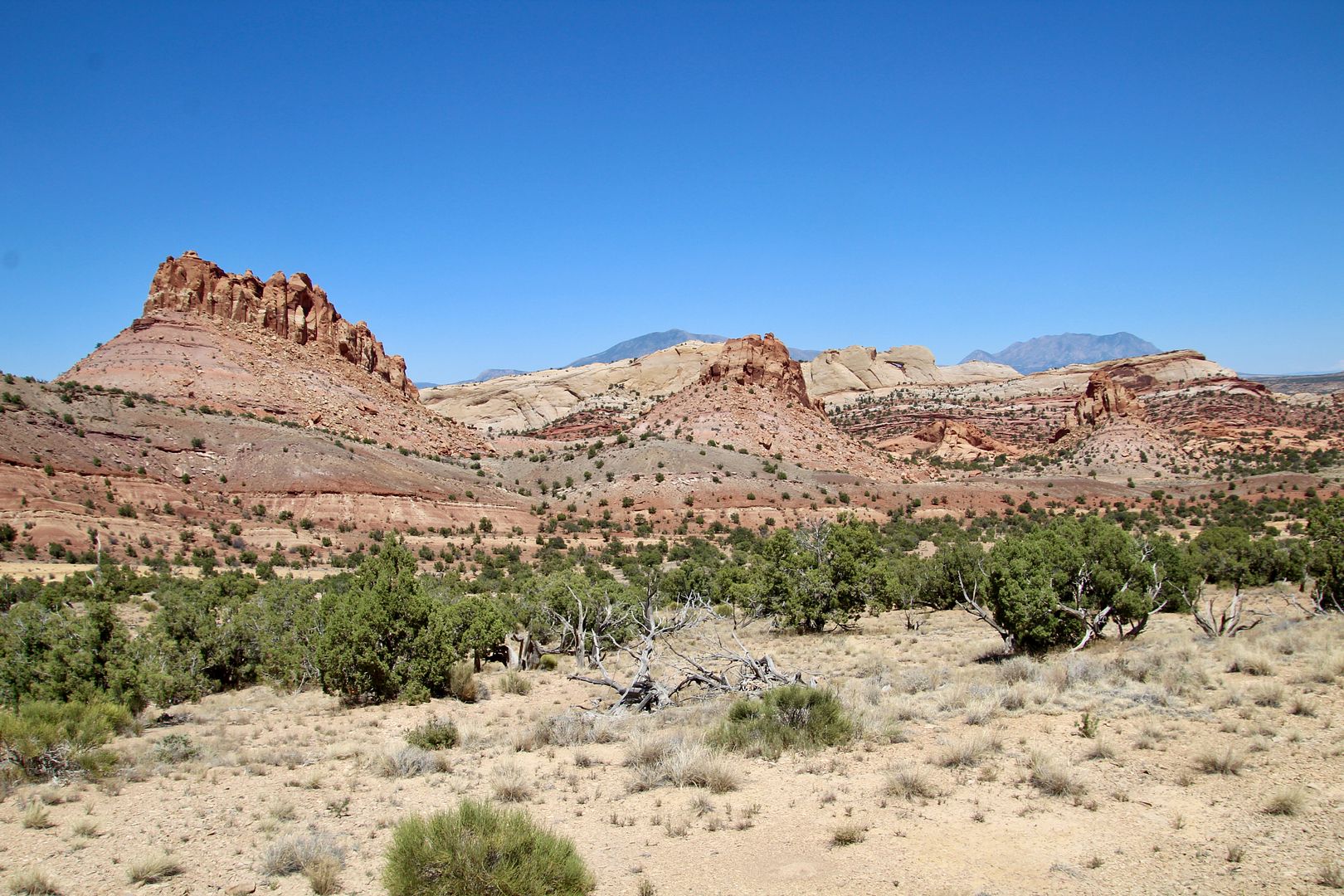
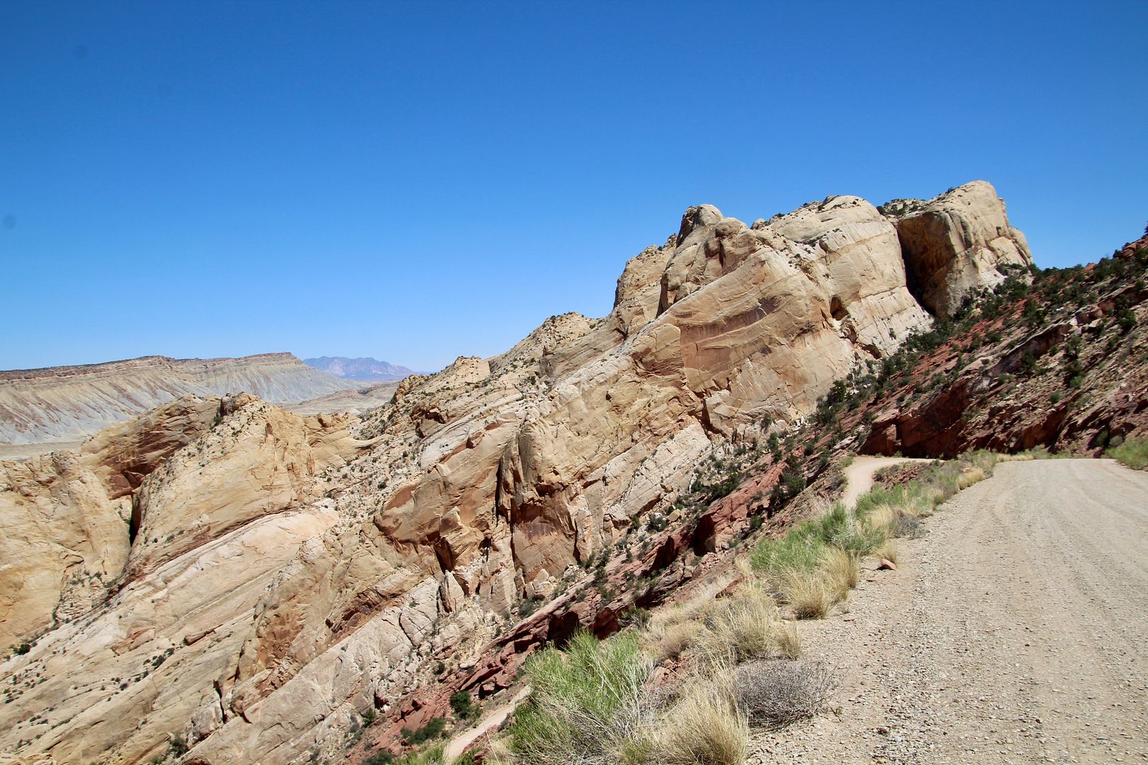
When Burr Trail reaches Capitol Reef National Park it becomes a dirt road, but we had no problem driving it in our Mini Countryman. The 100-mile long Waterpocket Fold runs through this area (from Thousand Lake Mountain to Lake Powell). The defining feature of Capitol Reef NP, it is described as a wrinkle in the earth’s crust. Known as a monocline (one-sided fold) in horizontal rock layers. The rock layers are at crazy angles for miles!
The Burr Trail Switchbacks is an amazing portion of the road (look for the switchbacks below). Getting from one side of the fold to the other is not an easy path!
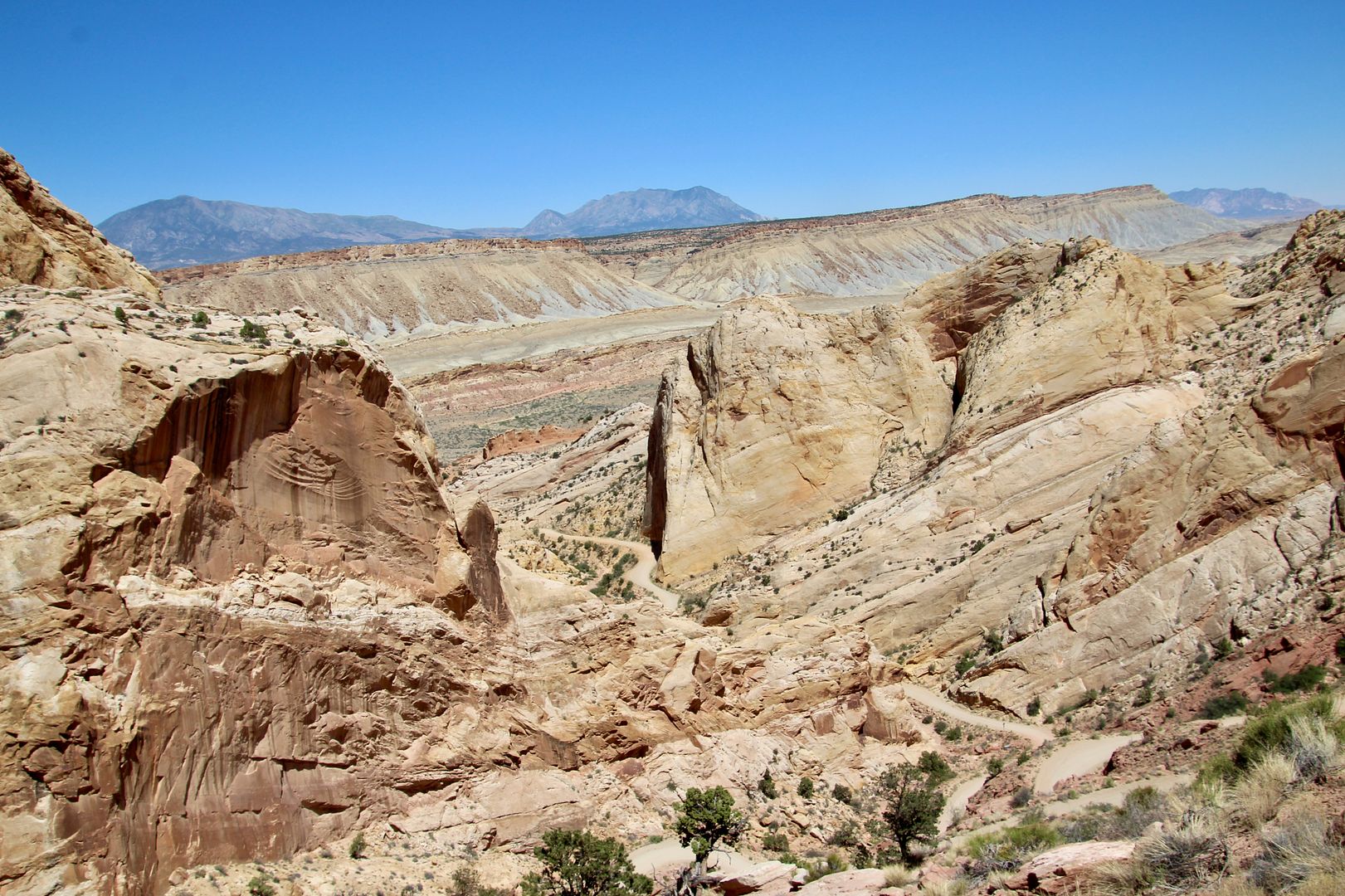
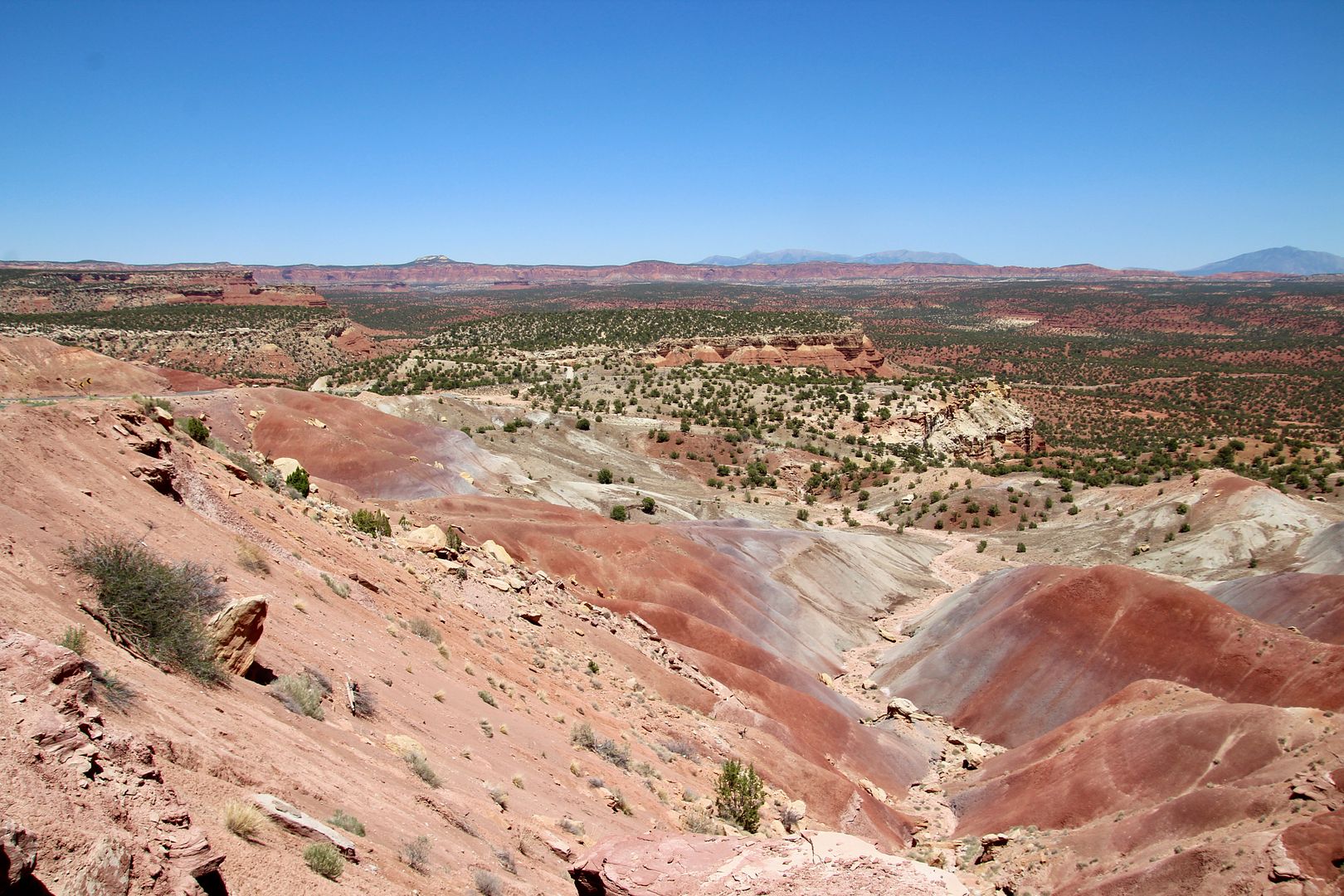
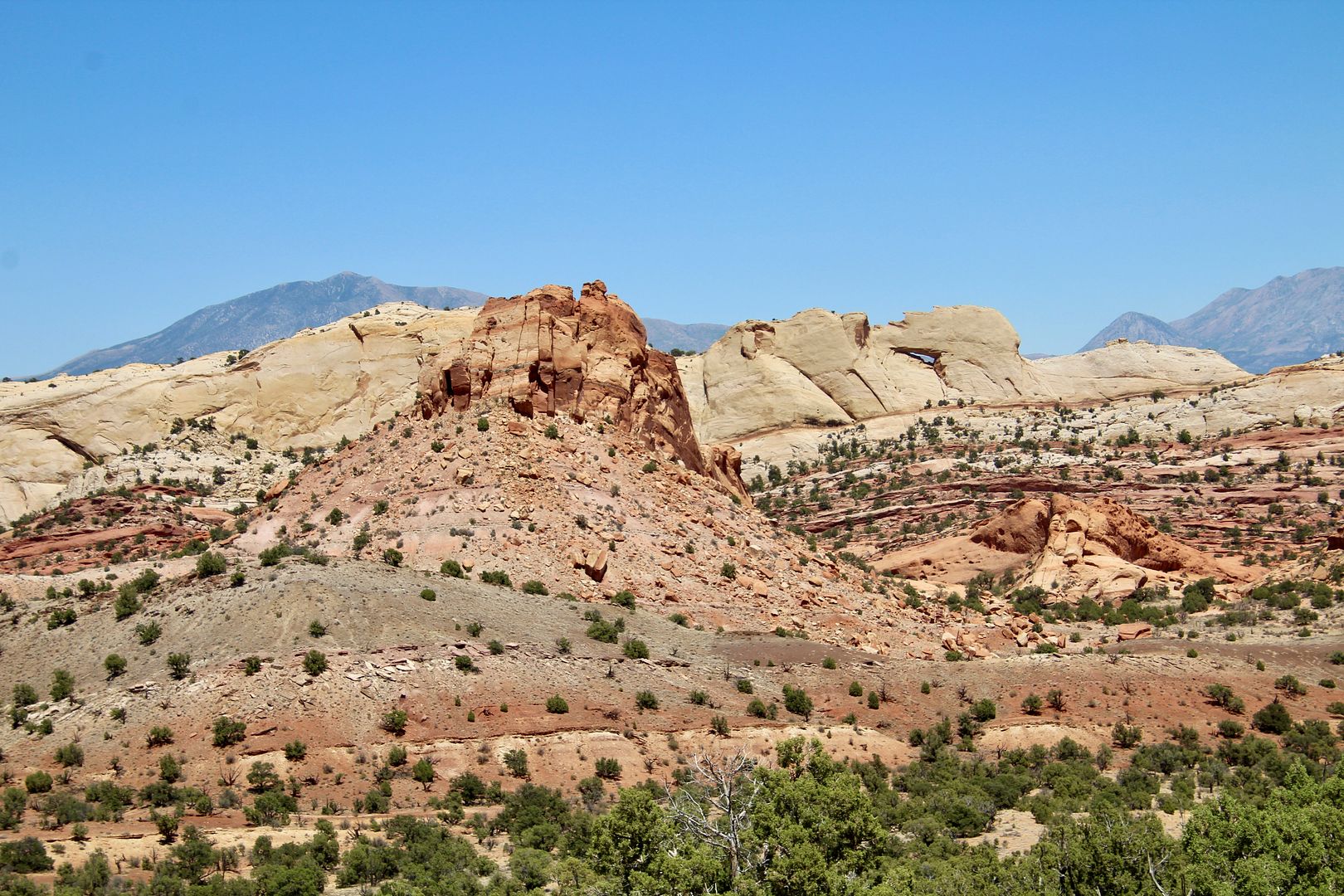
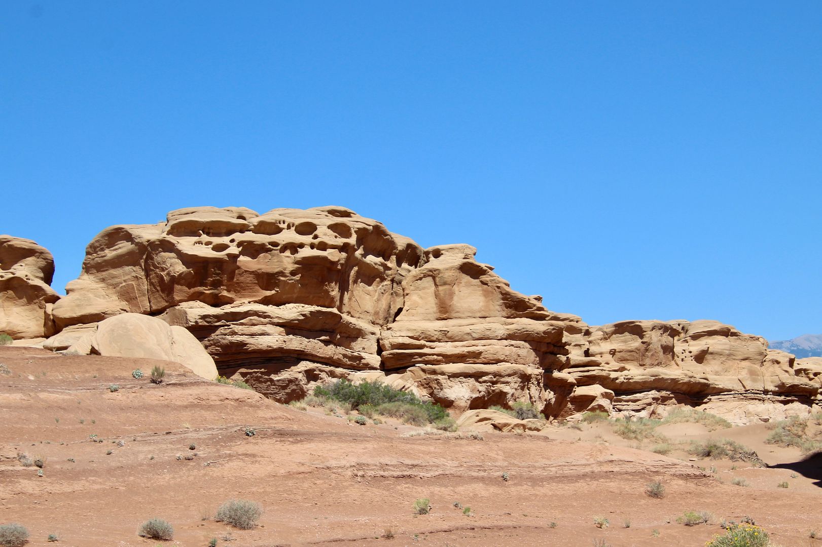
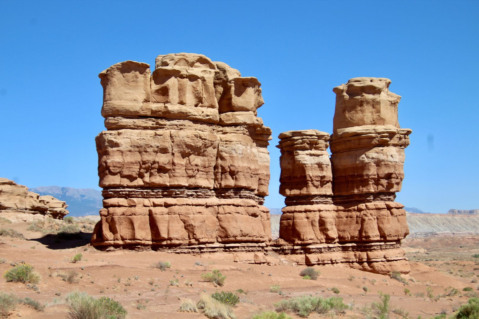
Turning left onto Notom-Bullfrog Road, we continued the scenic loop route north to Highway 24. Stopping along the way, we just loved the geological formations of the Capitol Reef region.
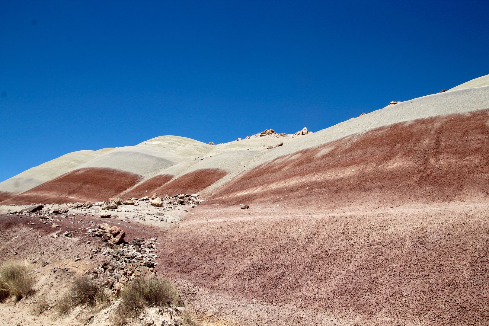
The monocline here is called the “Waterpocket” fold because of the holes created by erosion in the sandstone. Also shown are classic monoliths formed by the erosive forces on the sandstone.
At Highway 24 we travelled west to Torrey, where we are staying. The entire loop drive took us about 5 hours (due to the many stops to enjoy the scenery and our picnic lunch along the way). What a fantastic way to begin our stay at Capitol Reef! Highly recommend.
For additional information about Capitol Reef National Park, go to www.nps.gov/care. I will be sharing more information about our visit in the next few posts.
No comments:
Post a Comment