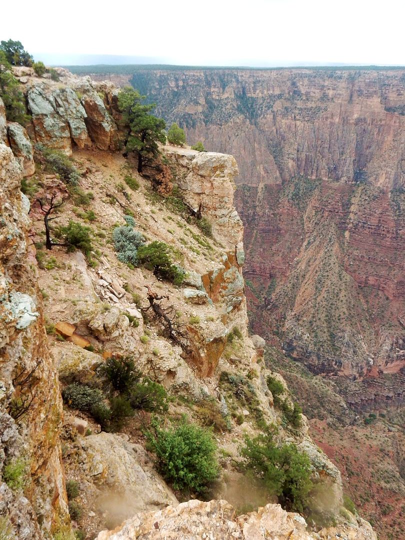
Lipan Point: This is an important fall migration route for thousands of hawks (and other birds, as well). Data is gathered by HawkWatch International on the number of hawks seen each year to monitor the health of the hawk population.
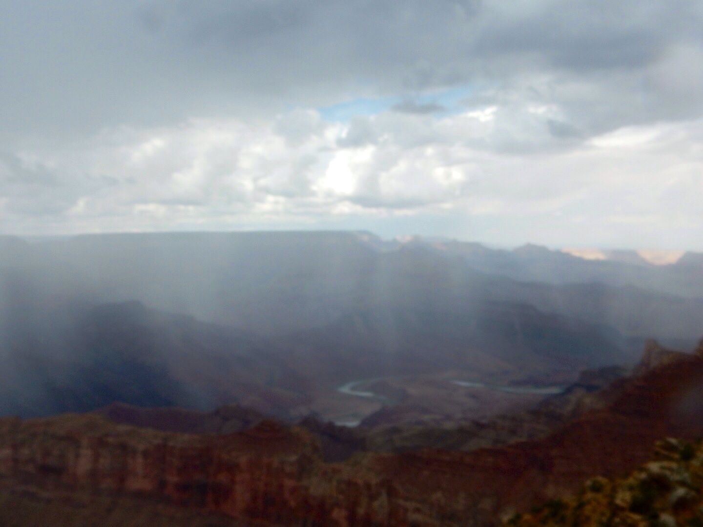
The distance between the South and North Rim is only 8 miles, making it an ideal crossing point for birds. This allows easy access to forests on both sides of the Canyon. Other birds (peregrine falcon, western tanager, turkey vulture, mountain chickadee, black-chinned hummingbird, etc.)
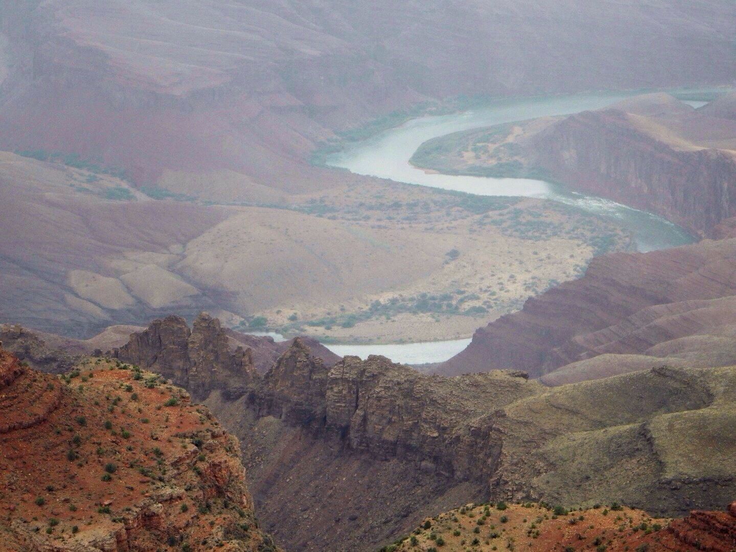
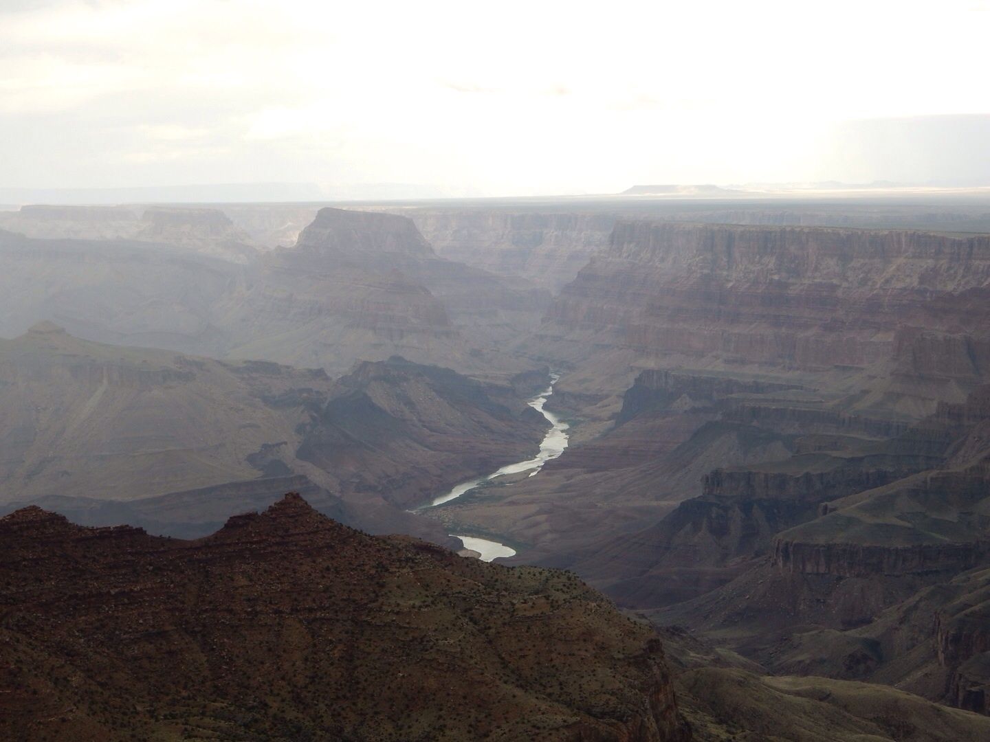
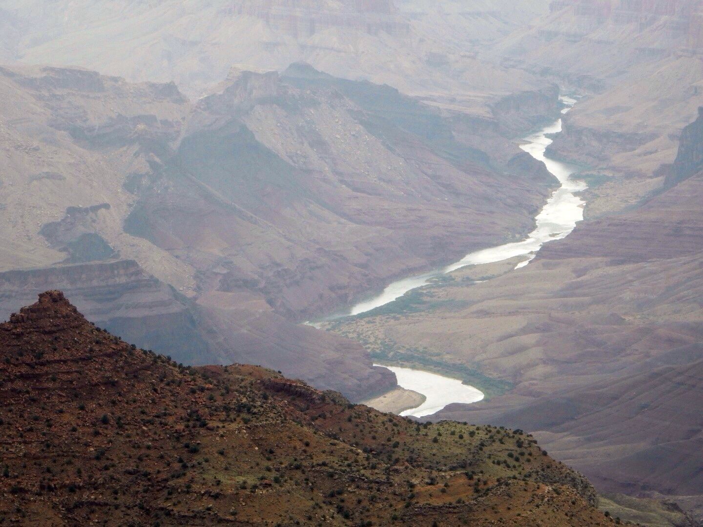
Close up of Colorado River from Lipan Point.
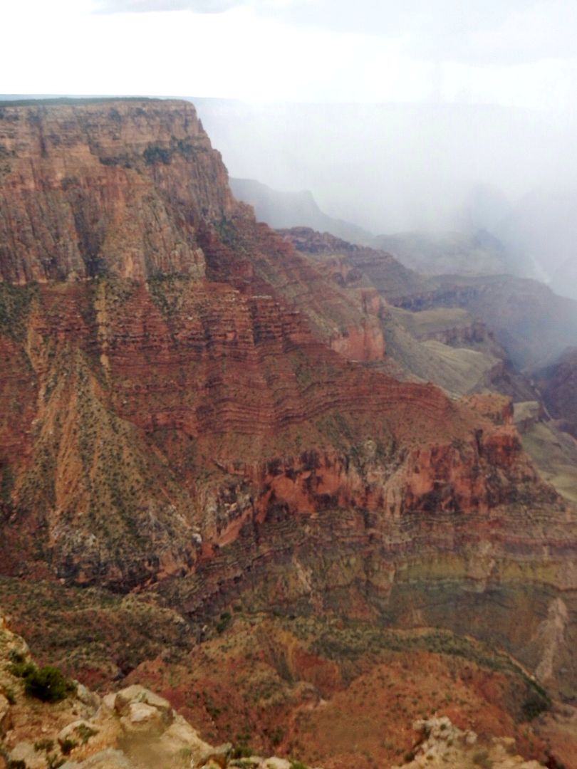
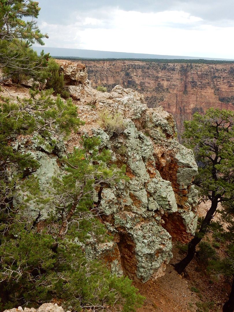
Navajo Point.
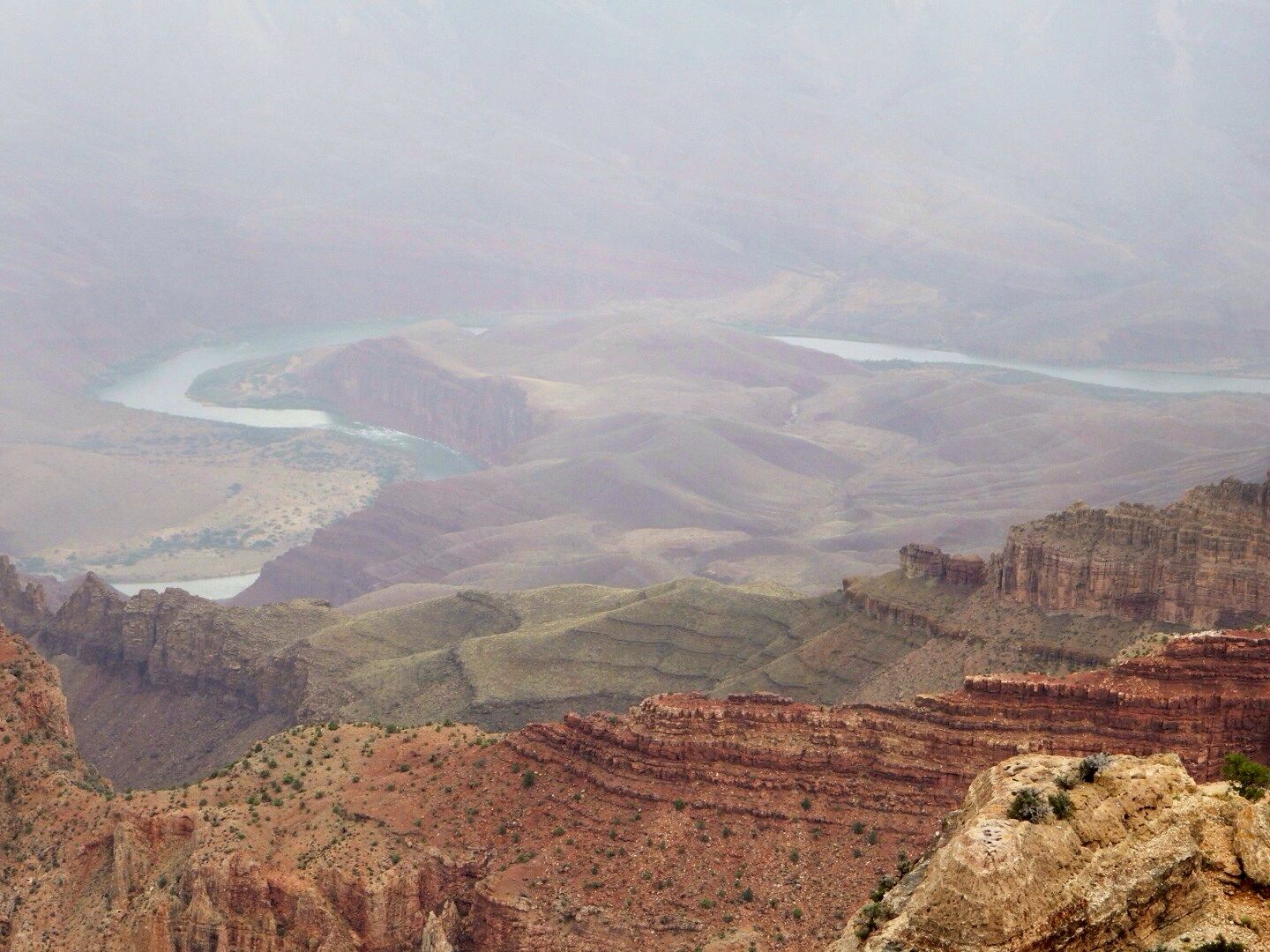
Hance Rapid, 3.8 miles away, can be seen from this point. Named after John Hance, the first white settler to the Grand Canyon, they are one of the most hazardous rapids in the Canyon. They fall 3 stories and are strewn with many rocks and large boulders. Hance improved a trail to access his mining claims and subsequently used it to guide tourists through the canyon.
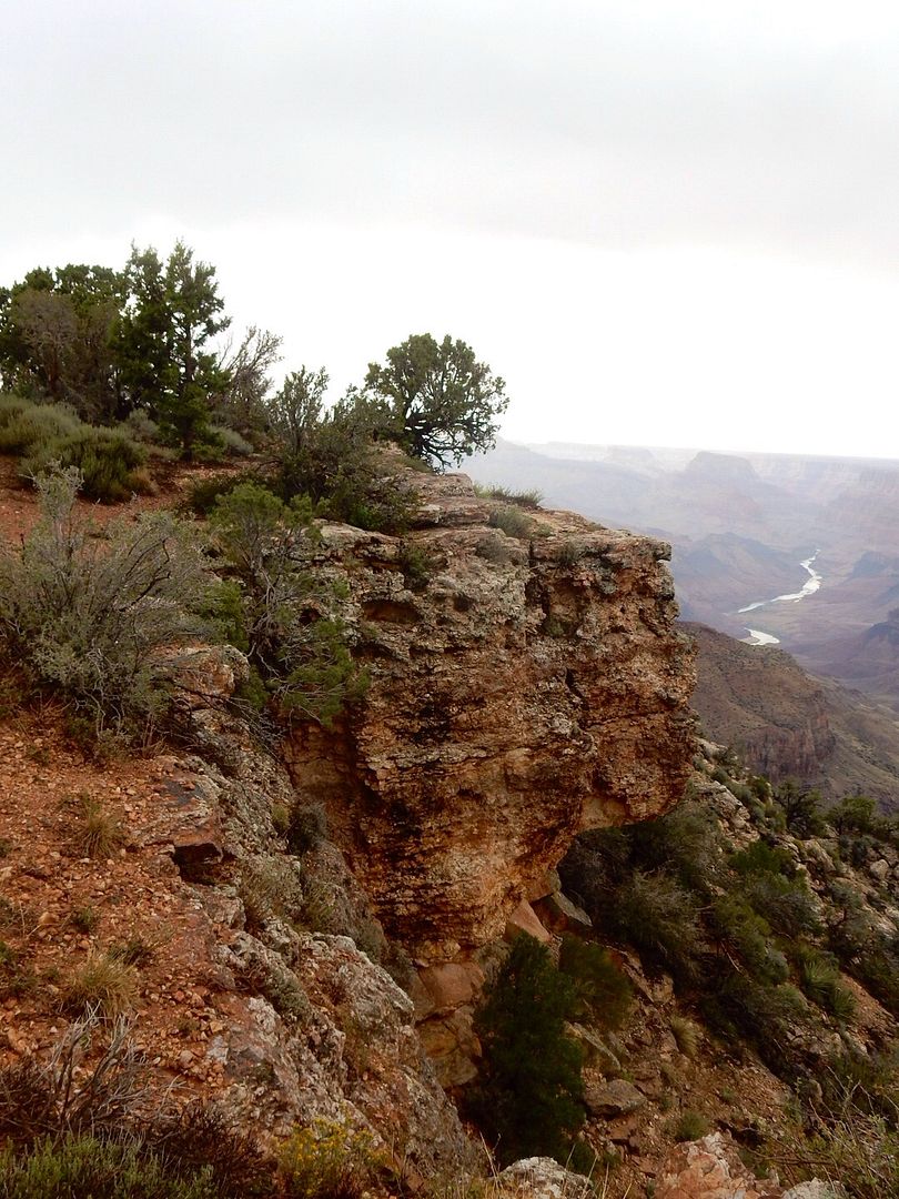
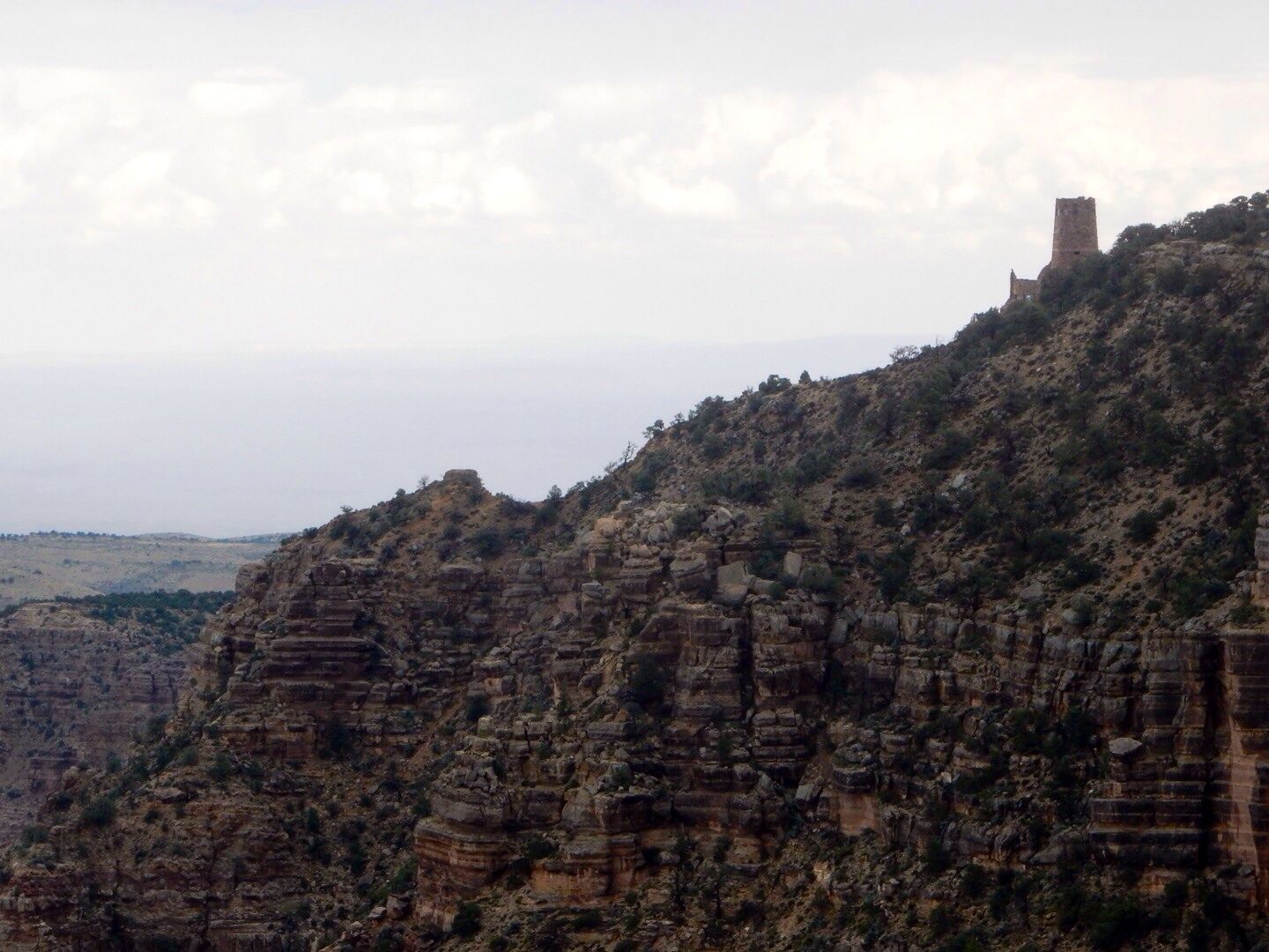
Also visible from this point on the South Rim, is the 70' tall Desert View Watchtower.
Looking to the east from this point are more views of the Colorado River. As you travel to the west, the River is deeper in the Canyon and more difficult, or impossible, to see.
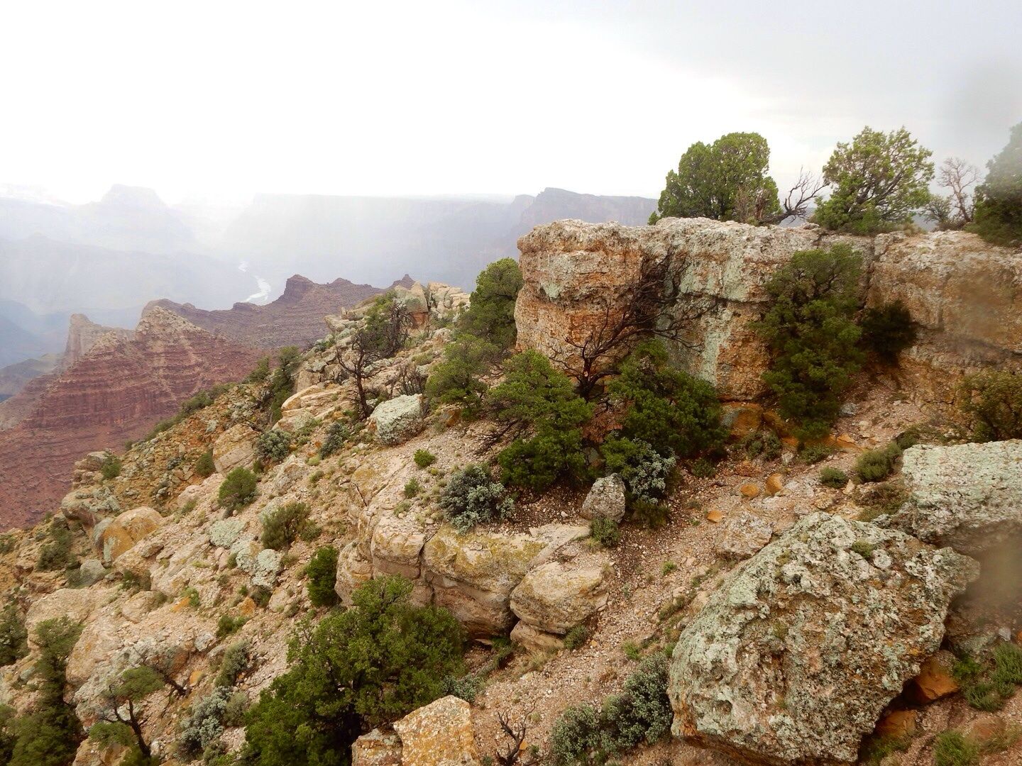
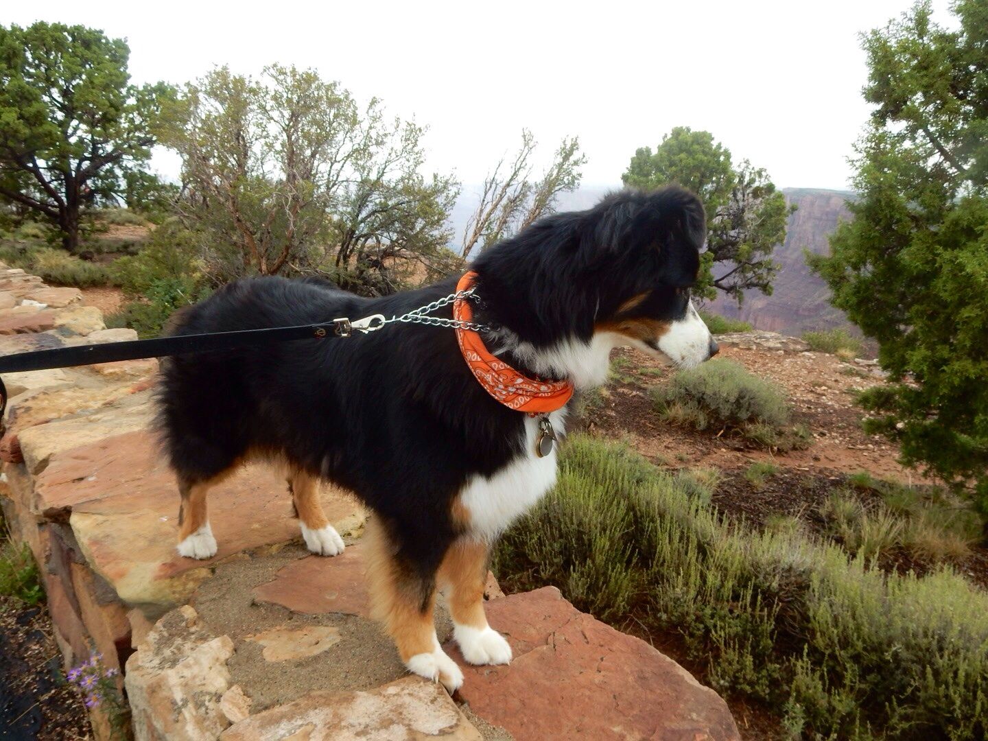
And, of course, our Sadie had to investigate the area a bit.
Because we had already visited Desert View, we returned to our campground traveling west on Desert View Road to Trailer Village near Market Plaza.
Admission to the Grand Canyon National Park is $25/vehicle for a 7-day pass. John's senior pass gets us in for free.
Website: www.nps.gov/grca
No comments:
Post a Comment