Most of the road is unpaved but the final mile is a primitive road (and was slow-going for us in the Mini Cooper). This is when we wish we had a Jeep! Regardless, we arrived at the parking area where the trail starts without a problem. If it's raining, and you don't have 4-wheel drive, wait for another day to drive here.
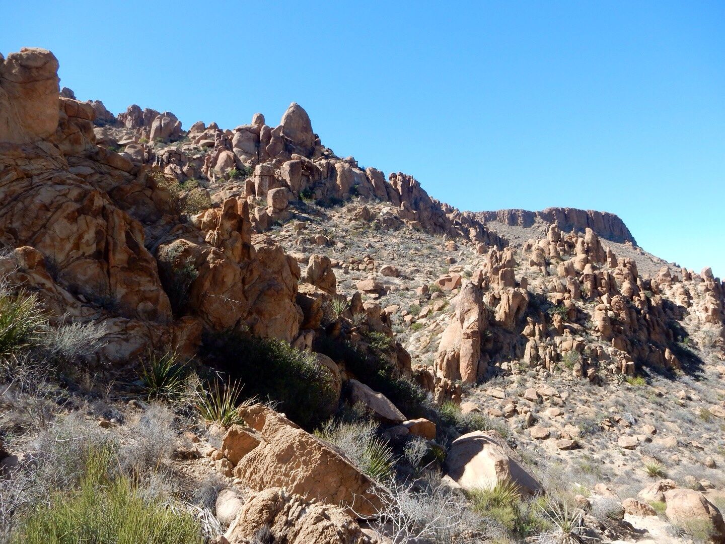
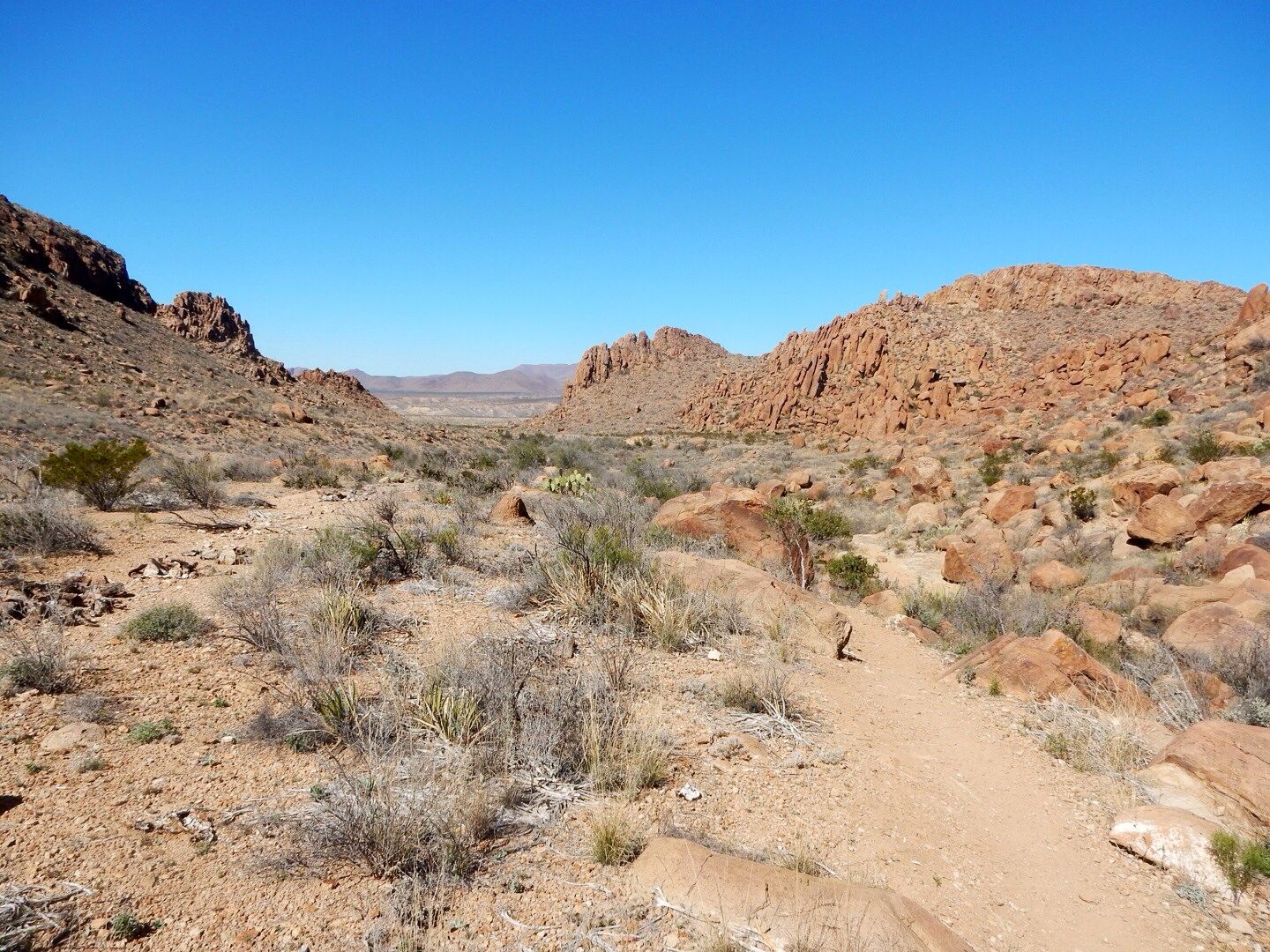
The trail is 2.2 miles round trip. The initial .85 miles of the trail follows a sandy wash through a boulder field.
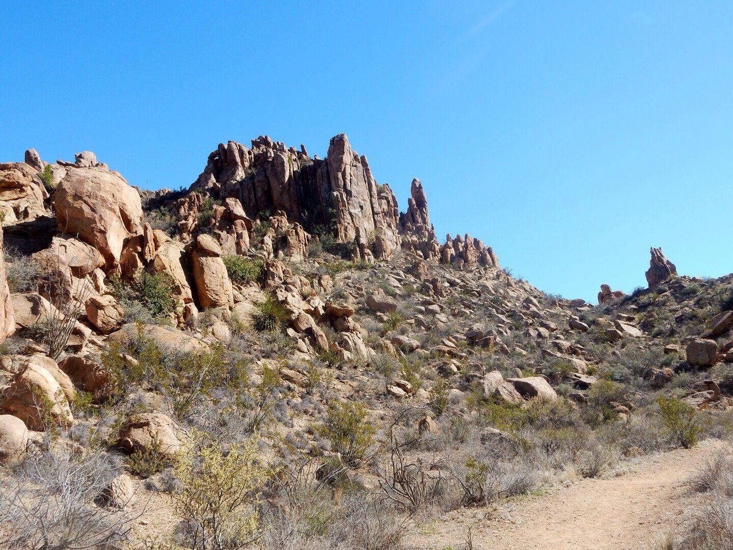
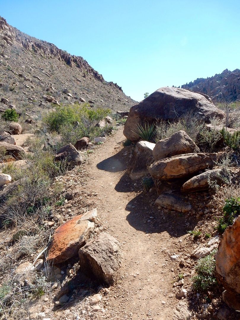
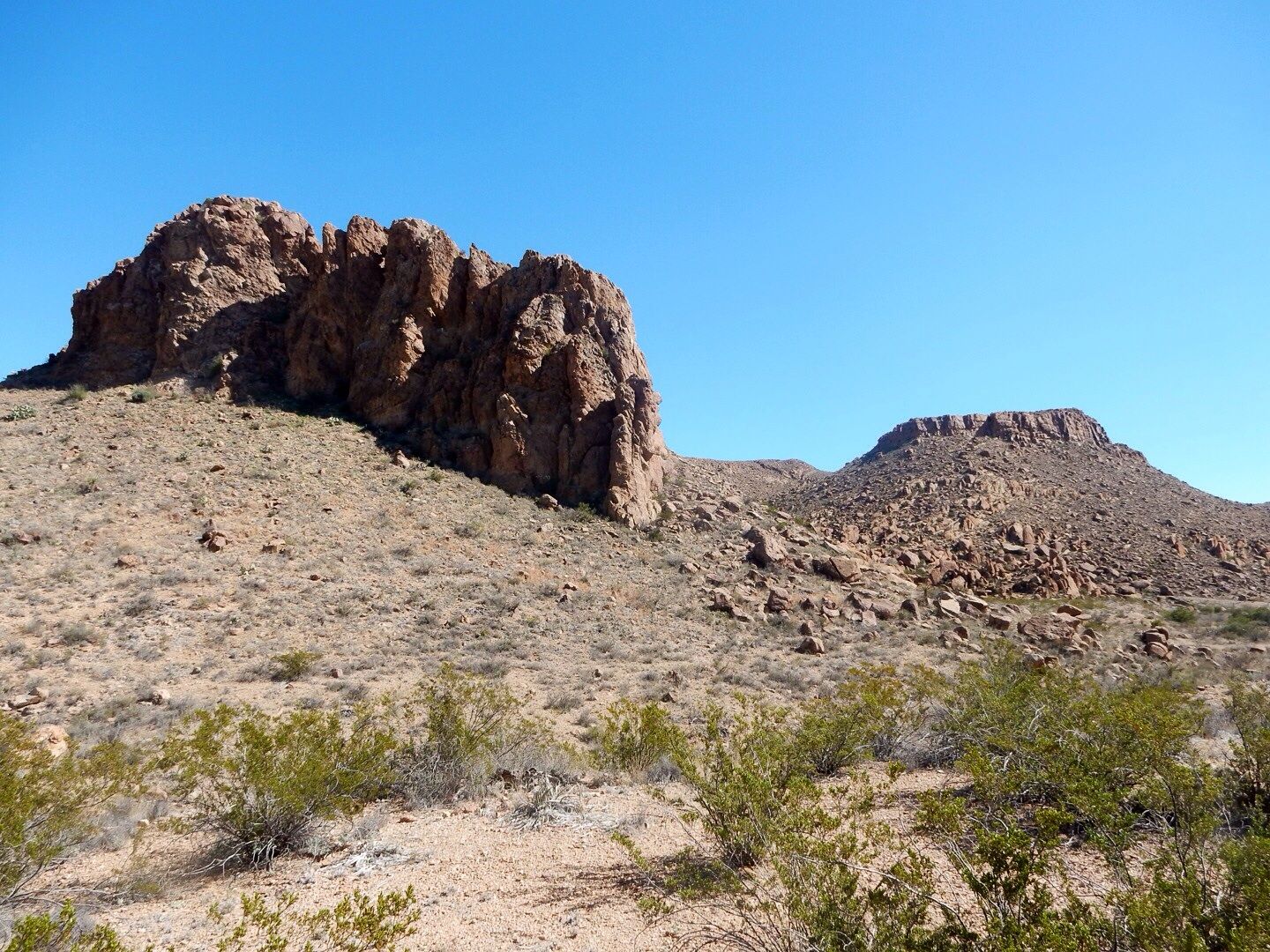
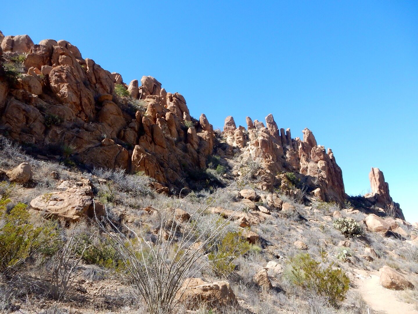
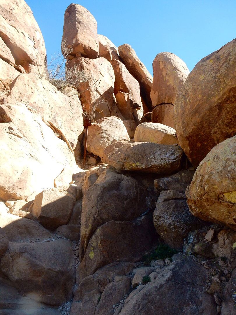
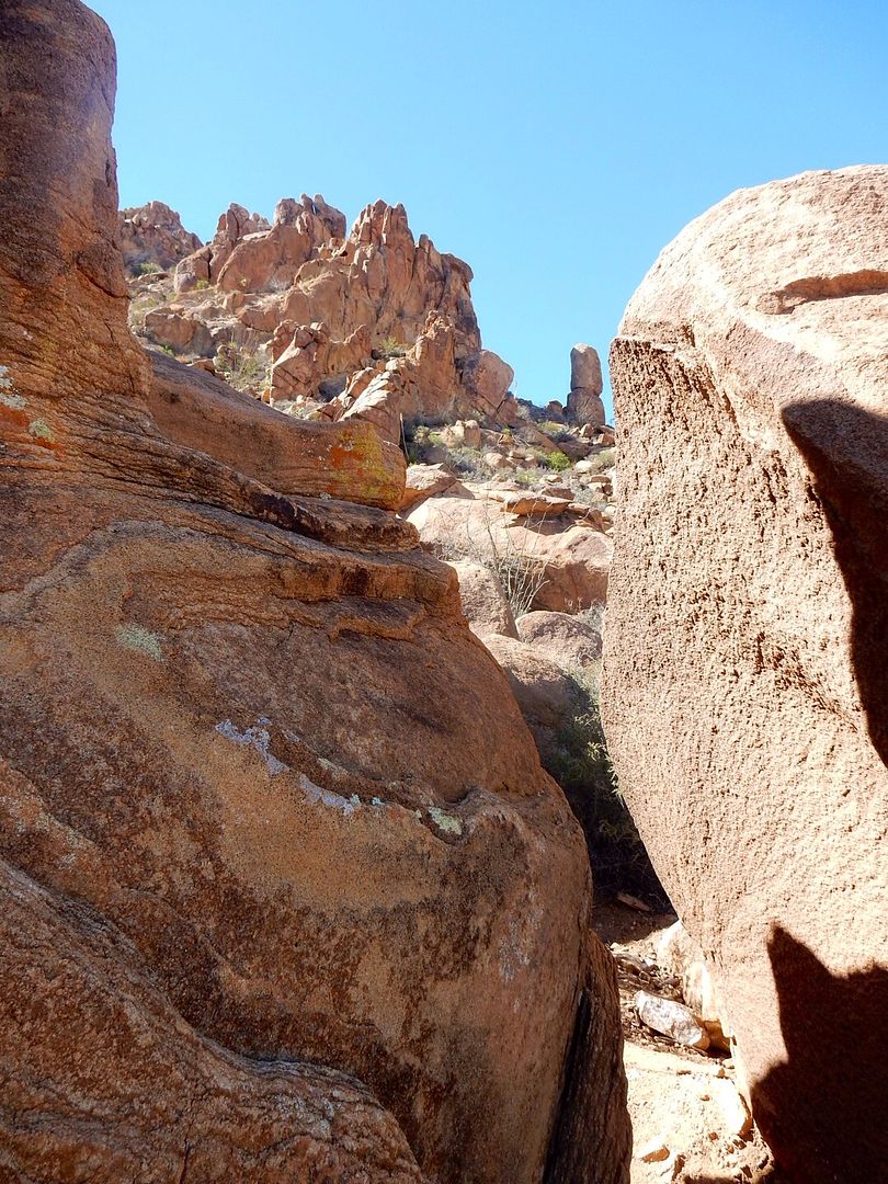
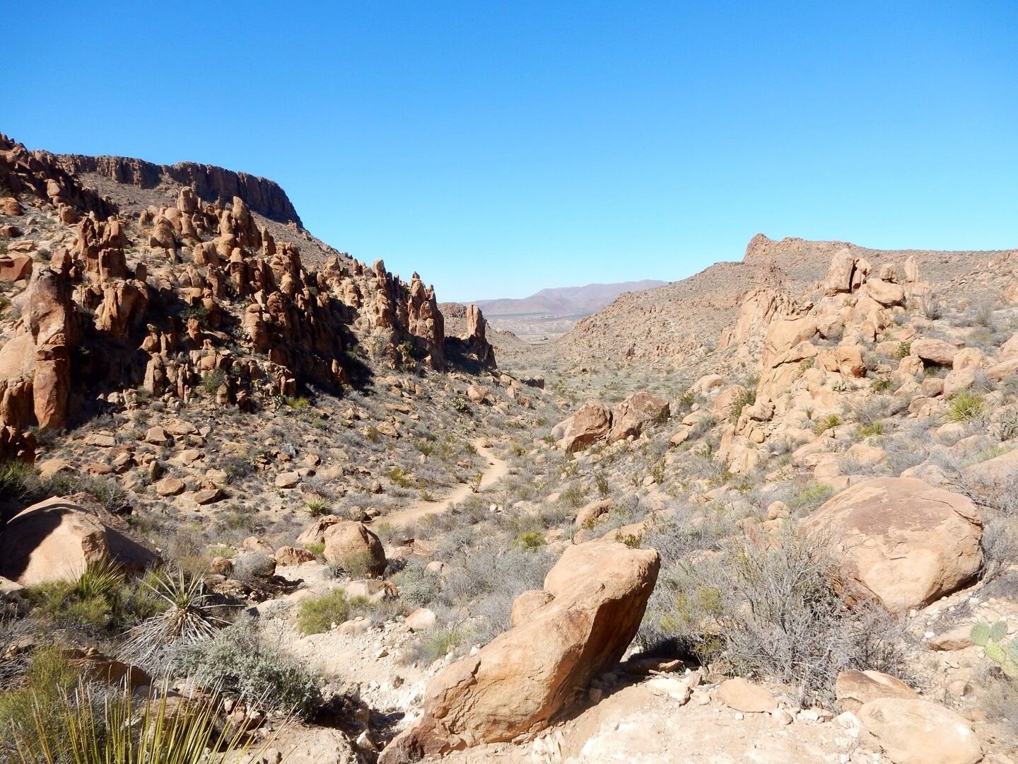
There are crazy rock formations on both sides of the wash.
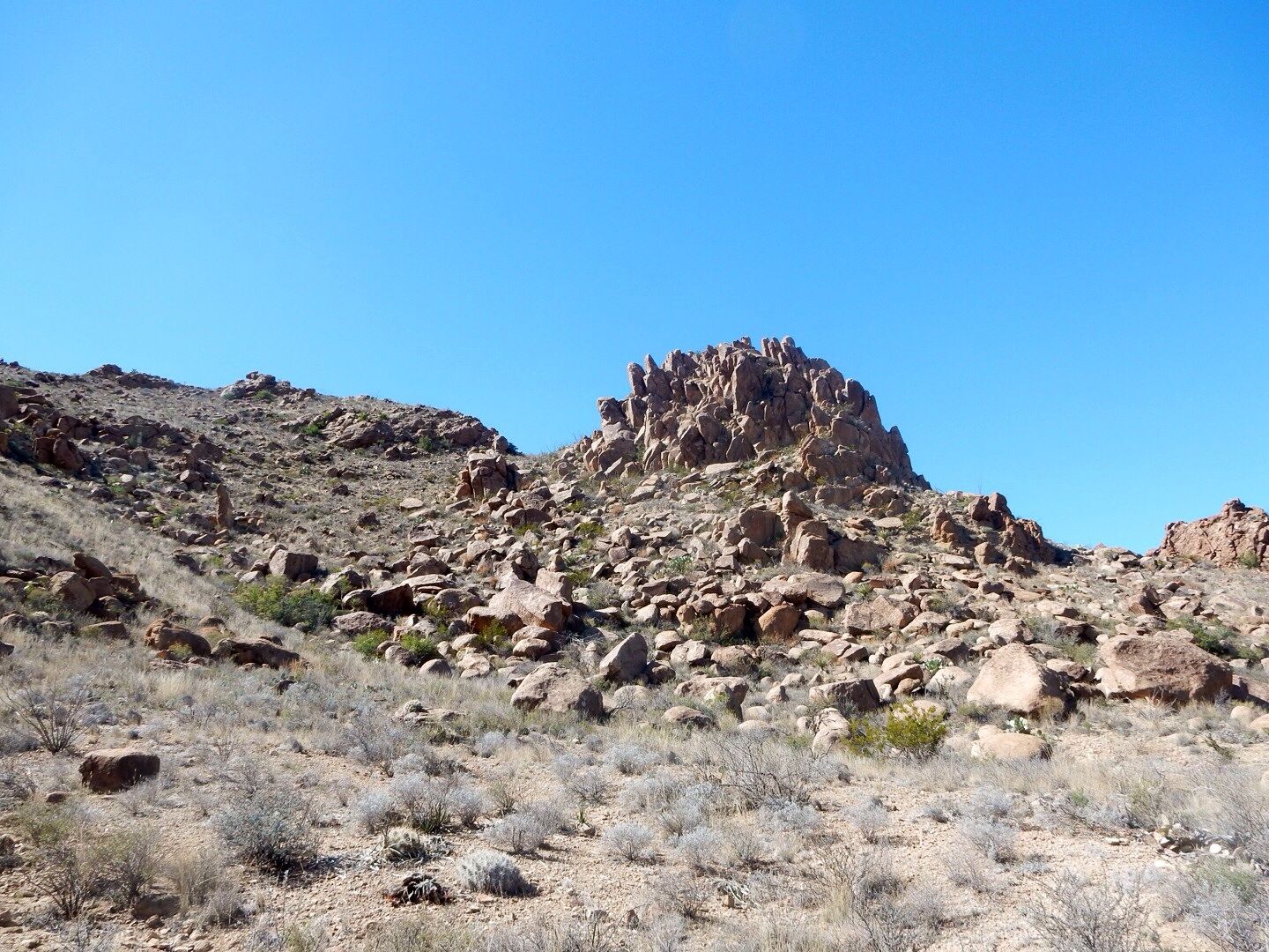
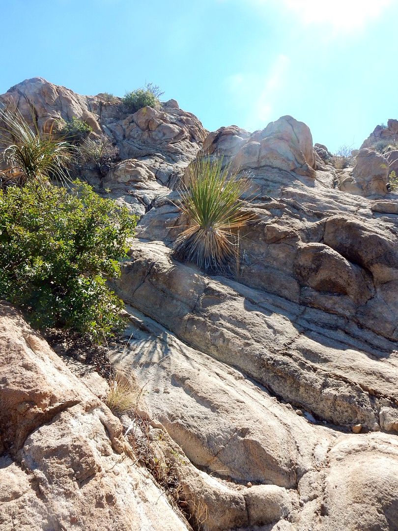
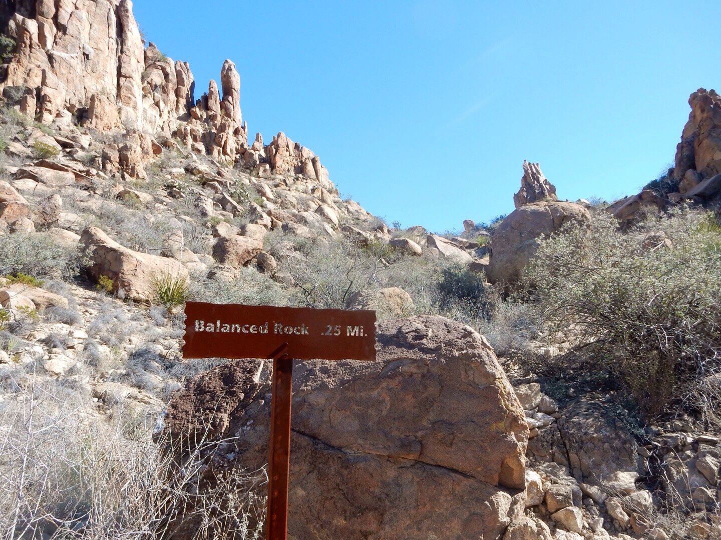
The last .25 mile is a steep climb that leads up to the large balanced rock formation.
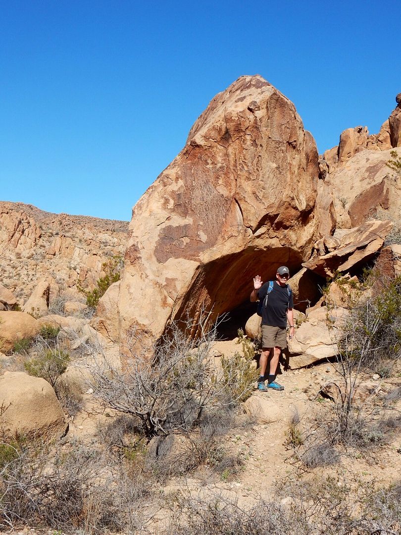
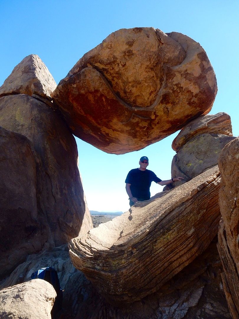
The reward at the end of the trail is the amazing balanced rock.
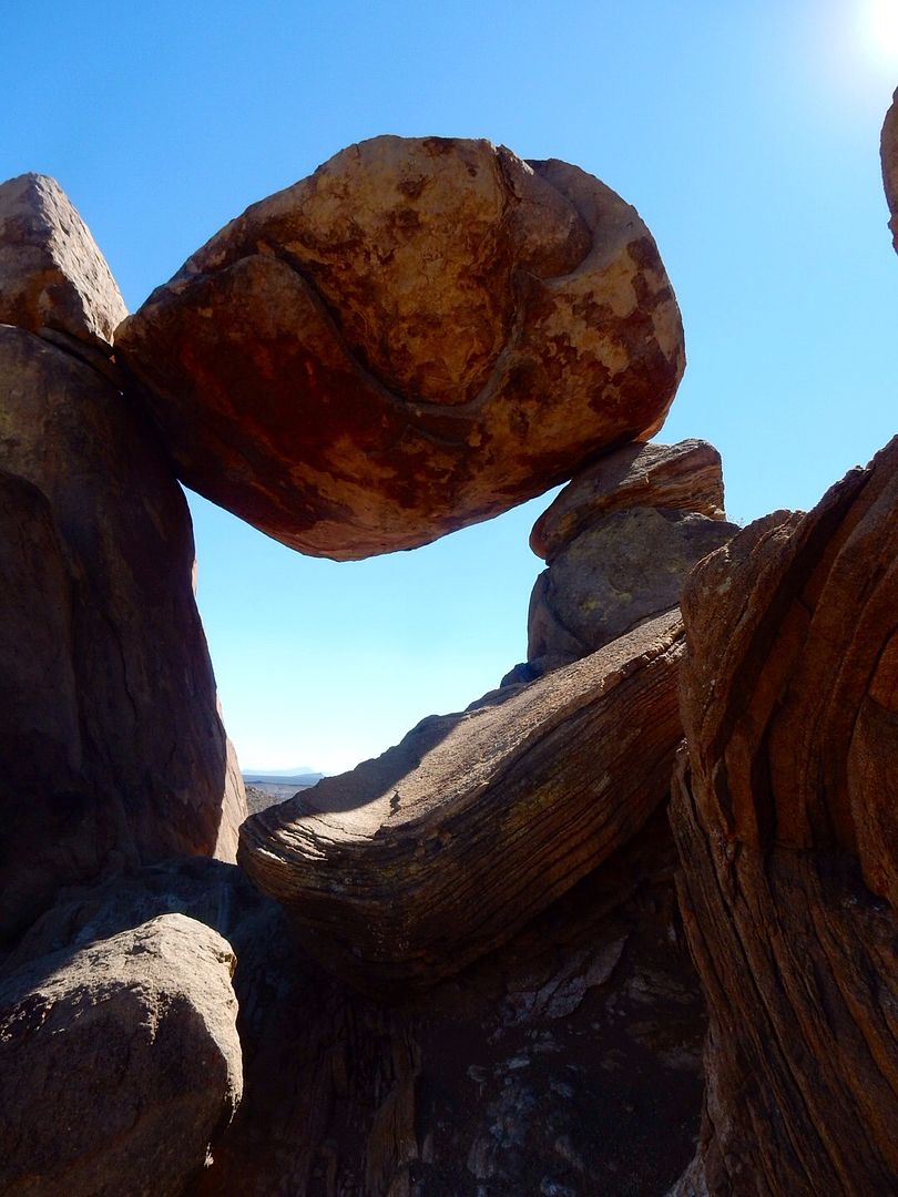
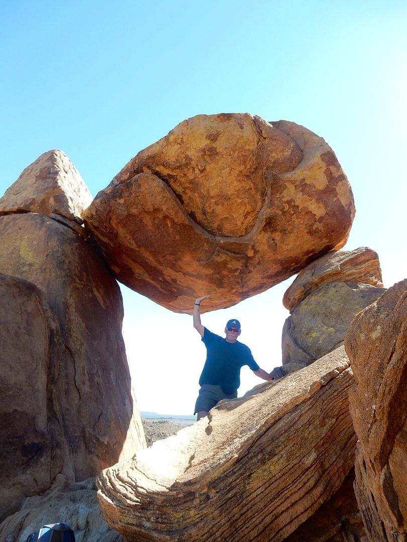
No, the picture is not photoshopped, it is an illusion. The rock is actually a good 6-8 feet above his hand.
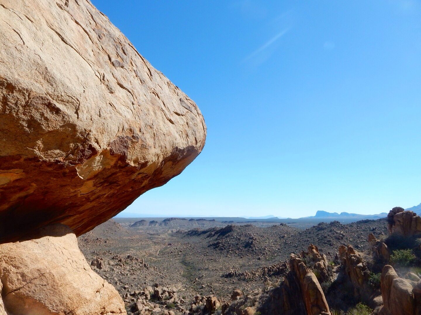
It is fascinating how wind and water have caused this rock formation to naturally occur. It is quite a sight to behold. We spent some time at the end of the trail exploring the area. As you may surmise, there is a nice breeze up here.
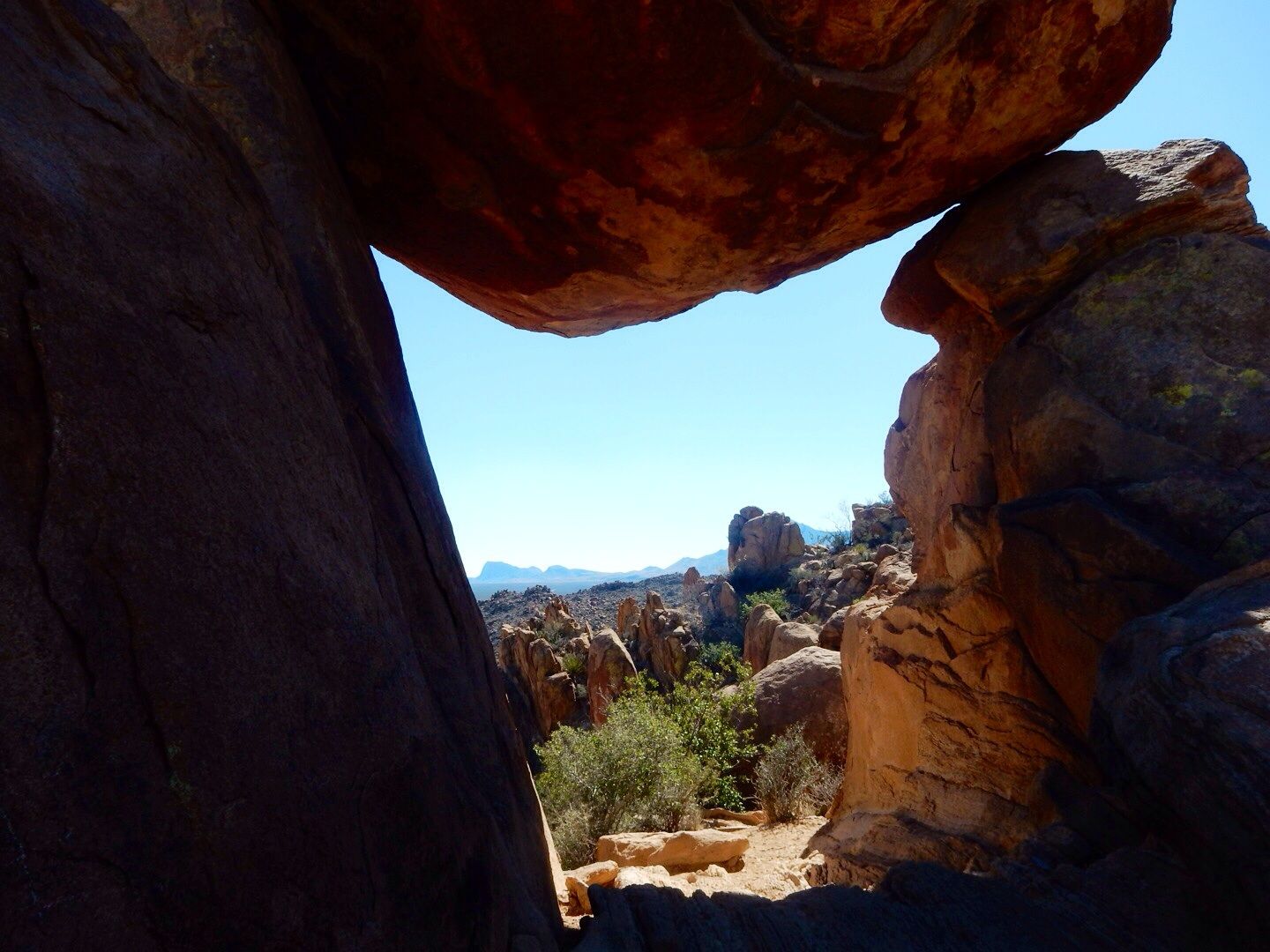
From balanced rock.
We loved this place. It is an easy trail (although quite hot even in February) except for the last part. And the road is a little rough for the final mile, but we were glad that we saw the unusual rock formations here.
Check out the Big Bend website for more information on hiking trails in the park.
Website: www.nps.gov/bibe
No comments:
Post a Comment