The trailhead is at the mile 5 marker of the Chisos Basin Road where there is a parking area. The roundtrip, moderately difficult, hike is 4.8 miles and an ascent of approximately 2,000'. It provides excellent mountain and desert views.
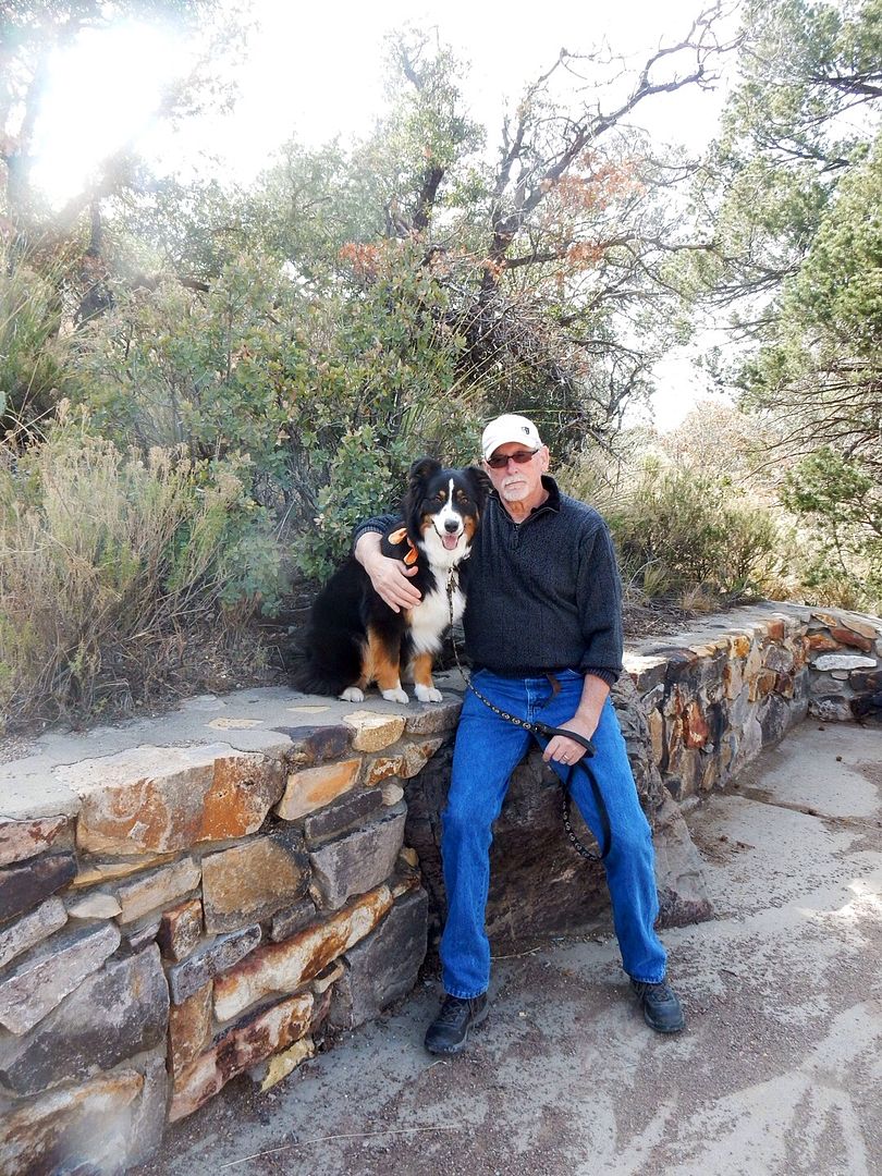
First, though, we got our sweet doggy, Sadie, out of the car for a walk. We wish we could take her with us, but rules are rules; no pets on the trails at Big Bend.
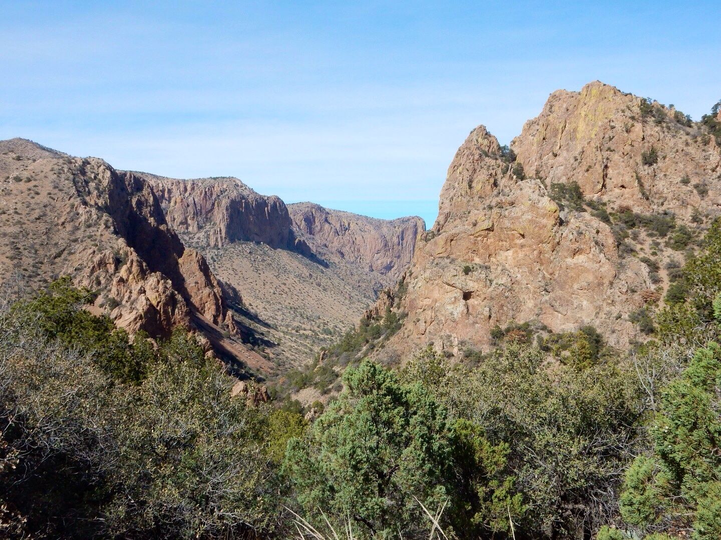
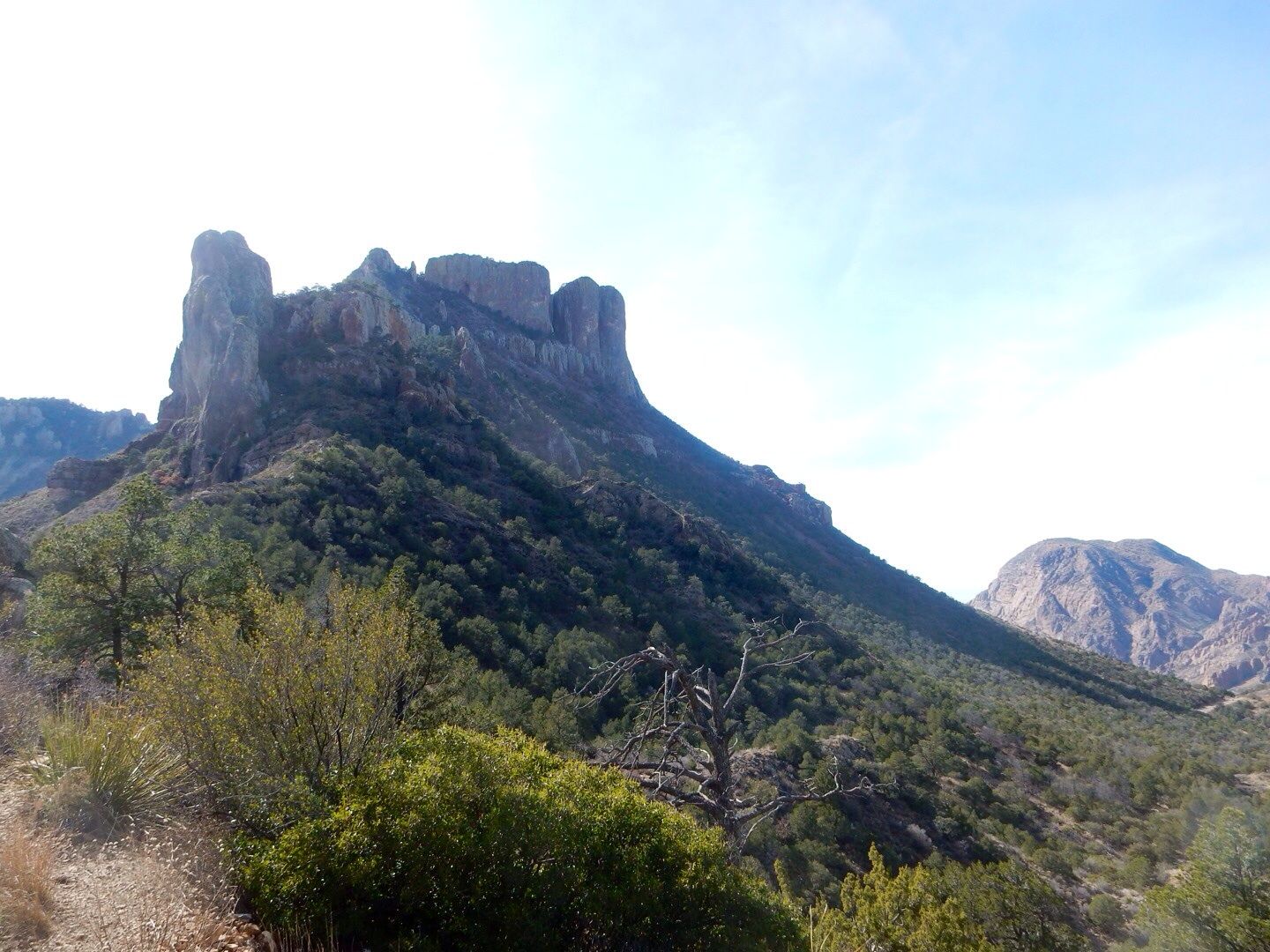
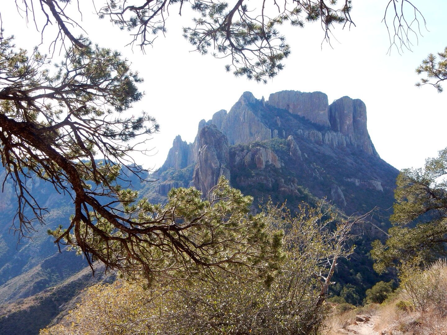
Before hiking too far up the trail, the views were magnificent.
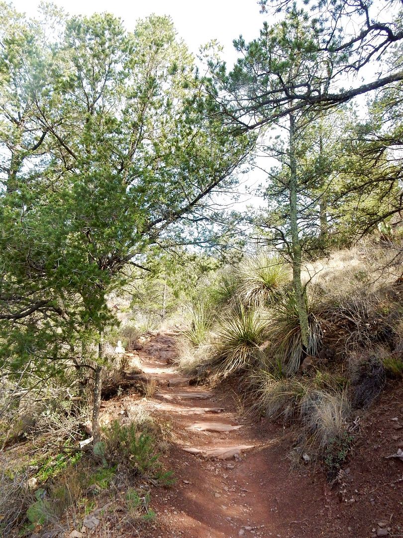
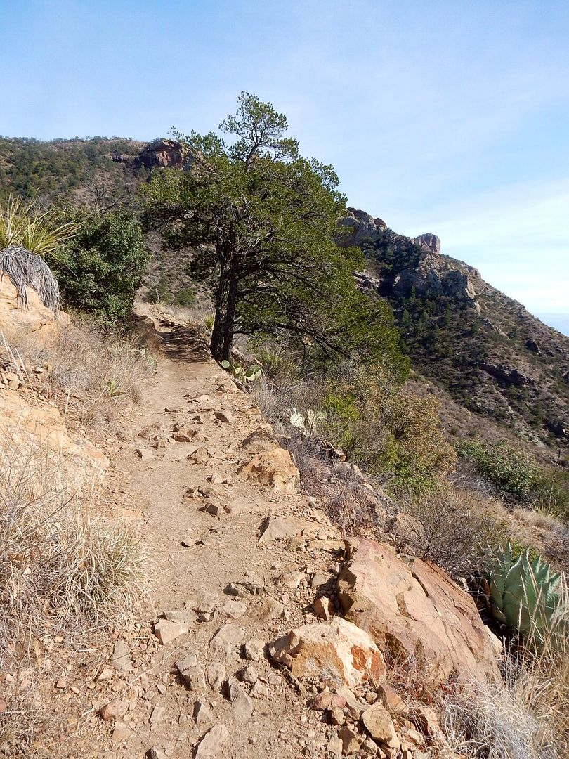
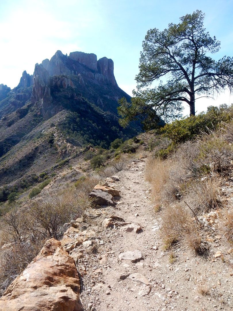
The trail is well marked and maintained with a continual gradual grade up the pass.
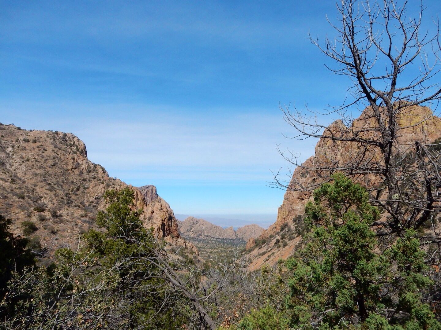
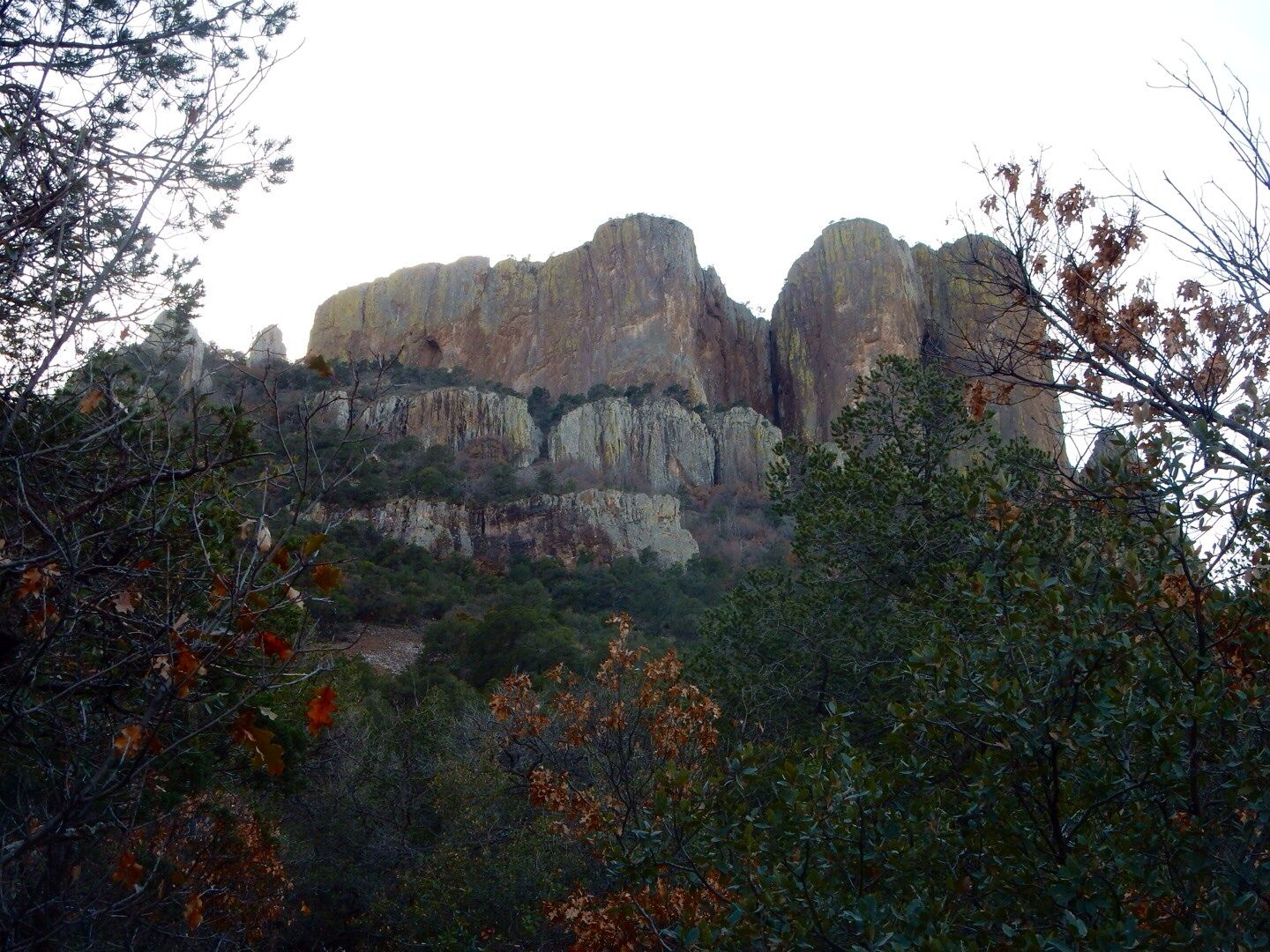
The higher we climbed the more beautiful the views.
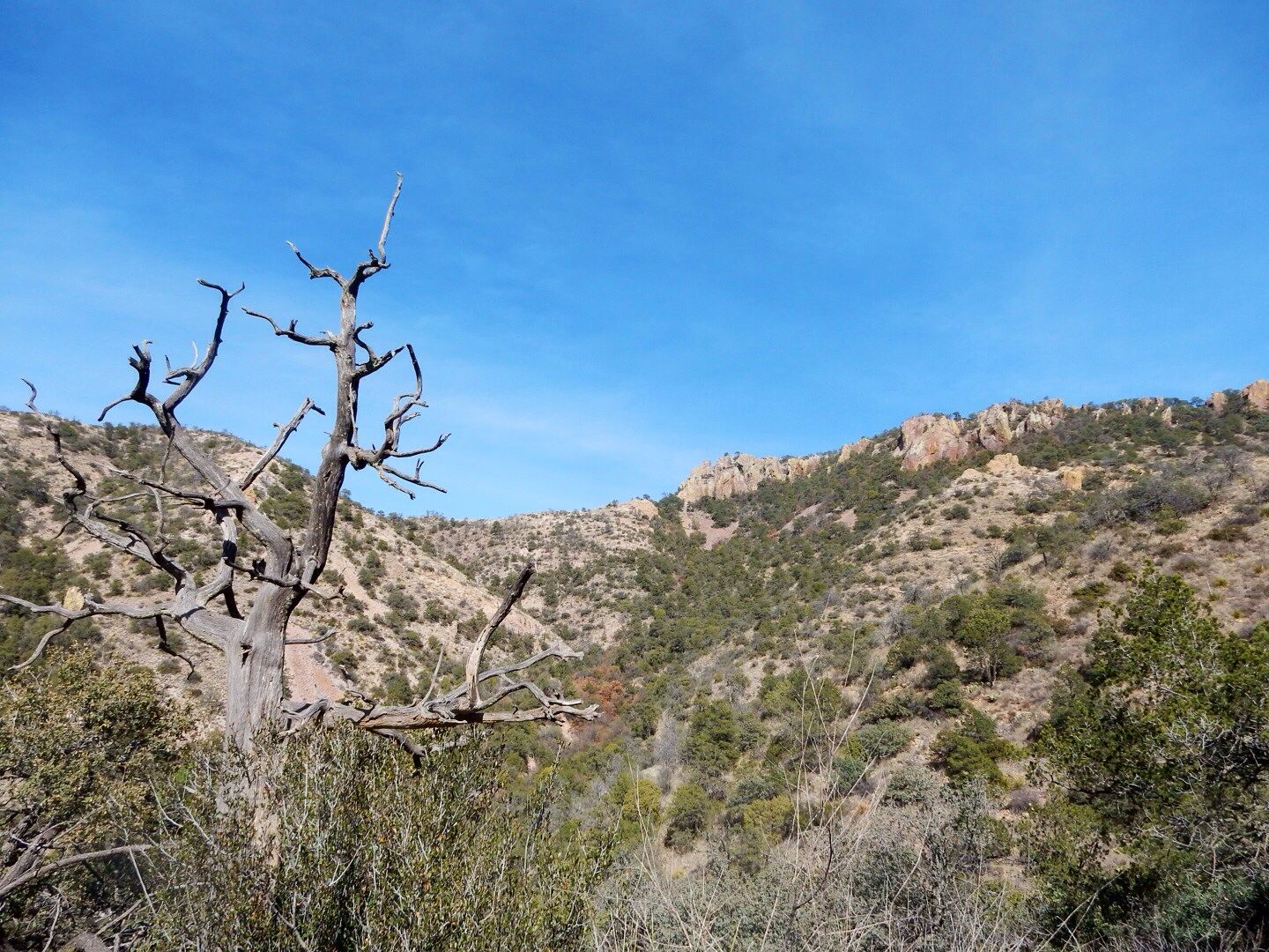
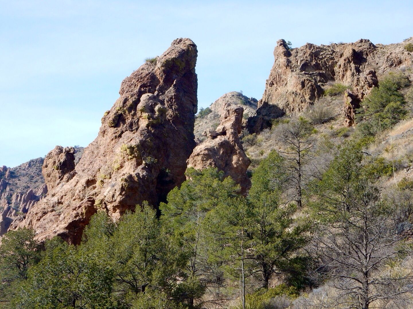
The trail becomes more rocky and runs along the side of the mountain.
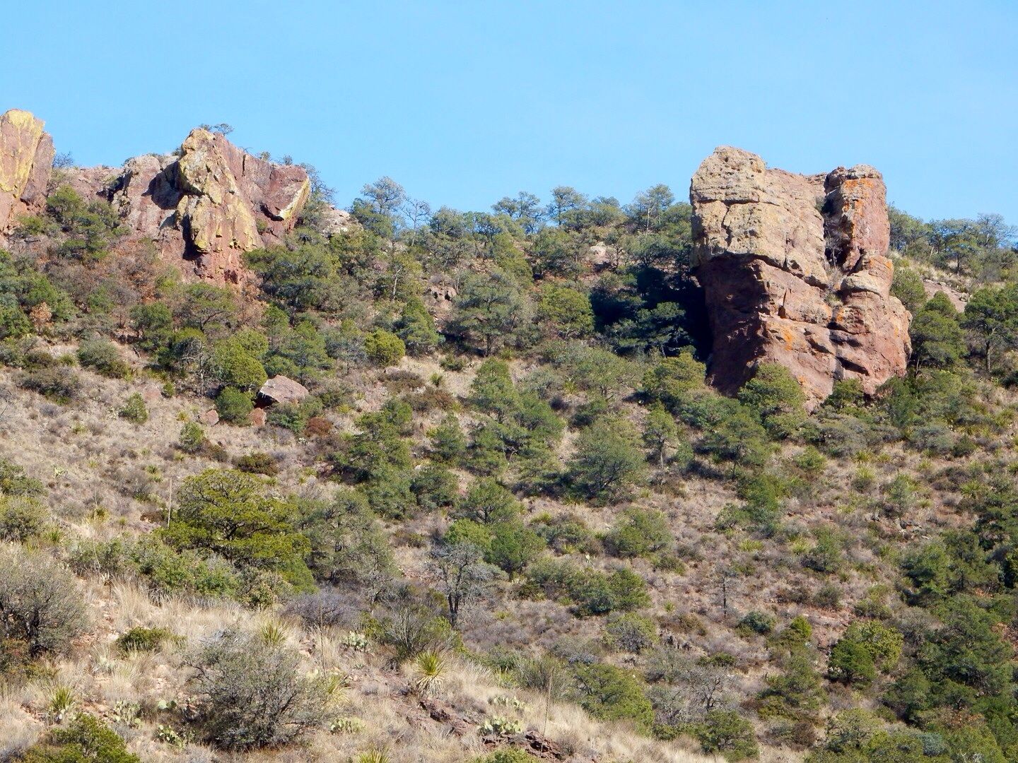
More mountain views.
There are markers along the trail (24 in total) that provides information about the vegetation along the way. We hiked only to the 16th marker and then proceeded with our descent. It is recommended that you hike at least to the 10th marker (about a mile) to enjoy the views on both sides of the pass.
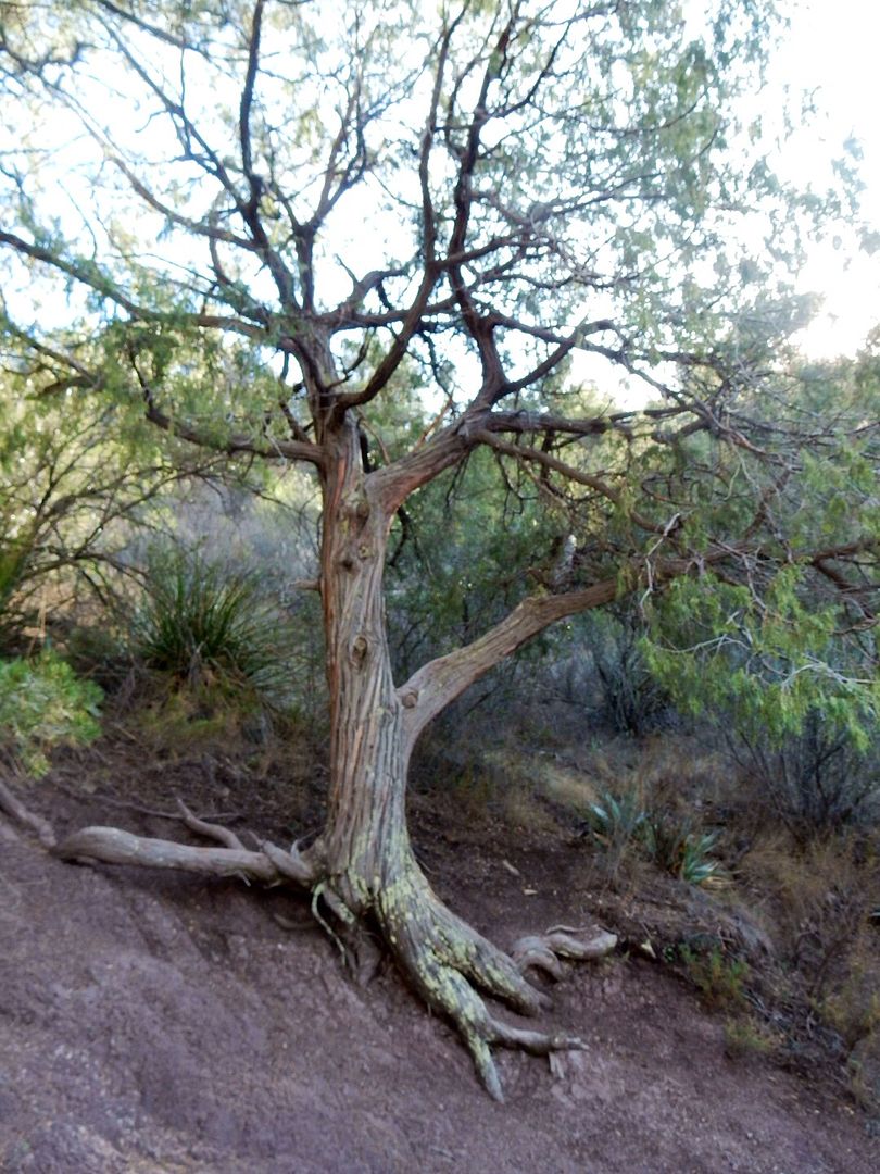
Weeping juniper ... found only here in the U.S., but abundant in Mexico.
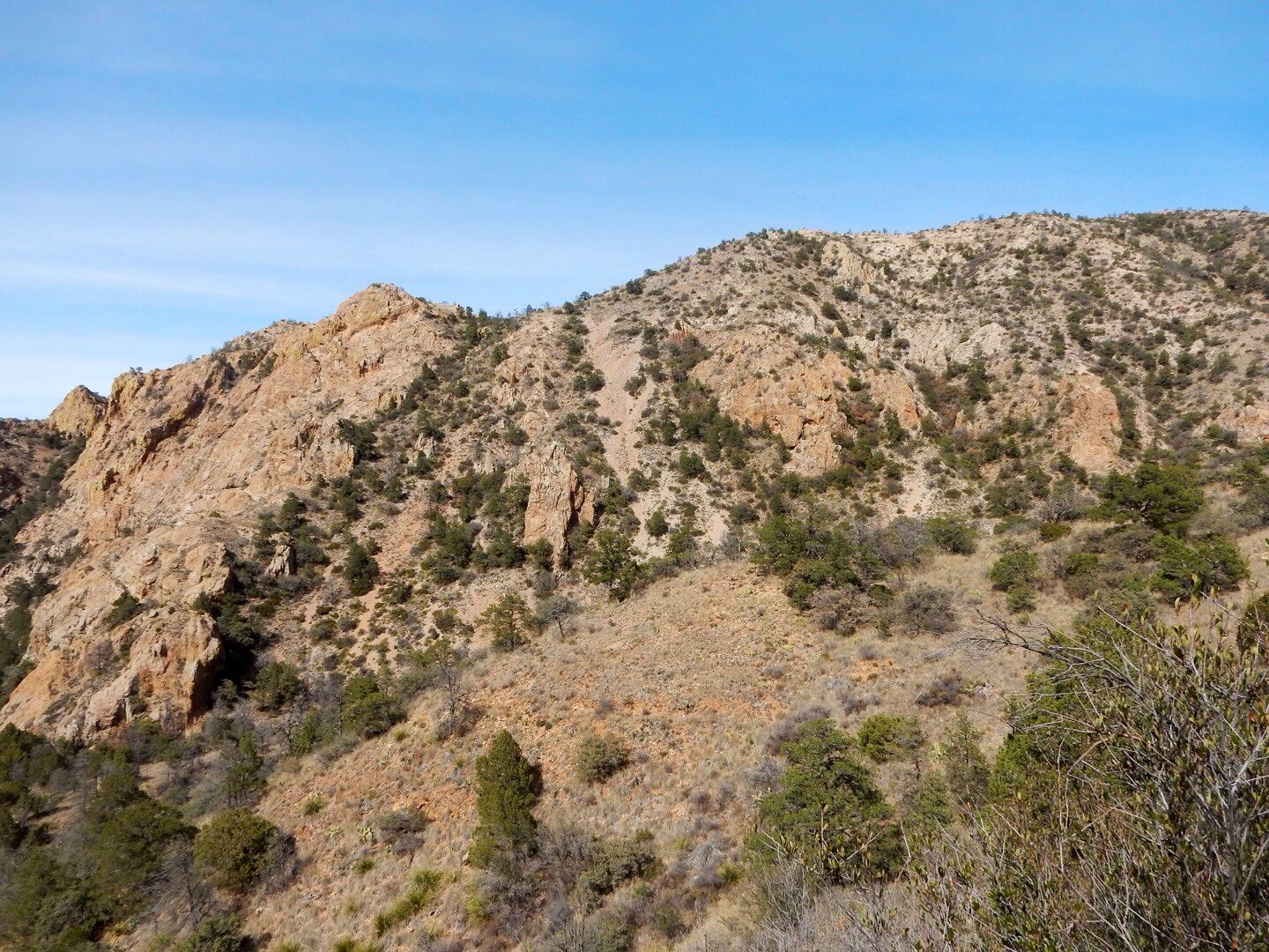
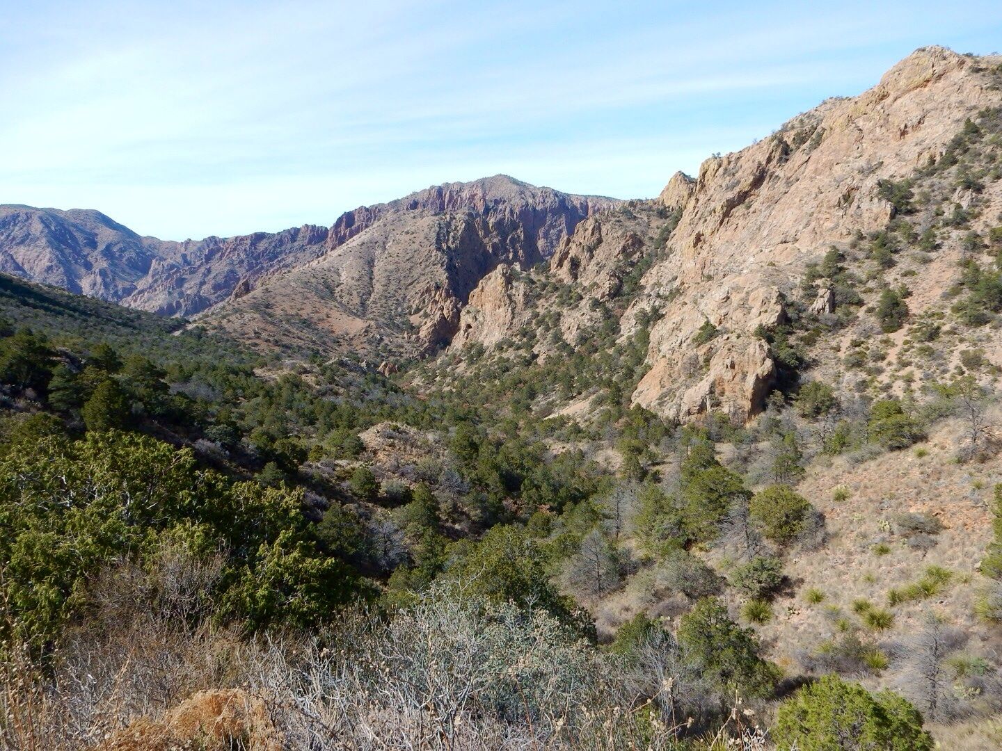
A couple of photos taken on the hike down.
Legend has it that silver was discovered by a Spaniard here. He proceeded to enslave Native Americans to work in it. They eventually rebelled, killed their enslavers, and sealed the mine entrance forever. There is, however, no evidence found to support this legend, but it has lived on for centuries. And this trail is named for the Lost Mine.
We loved this hike! The panoramic views were fabulous. Be sure to take plenty of water and a snack.
More details regarding the 7 hiking trails in the Chisos Basin can be found at the Big Bend website.
Website:
www.nps.gov/bibe
No comments:
Post a Comment