But first, here's some background info I found interesting.
- The great Rocky Mountain chain forms the backbone of North America and is the world's longest mountain barrier (2,700 miles).
- The Trail Ridge Road is the highest major highway in North America and is 12,183' above sea level at the highest point (near the Alpine Visitor Center).
- It was opened in 1932.
- The road follows, in part, the route once used by Ute and Arapaho Indians, as well as prehistoric man.
- Nearly 1/3 of the park is above tree line (11,400' elevation); above which conditions are too harsh for trees to grow.
- There are 72 peaks in the park that are above 14,000'.
- There are approximately 355 miles of hiking trails in the park.
- This became a national park in 1915, one year before Congress created the National Park Service.
- Many of the park's trailheads are found along this road.
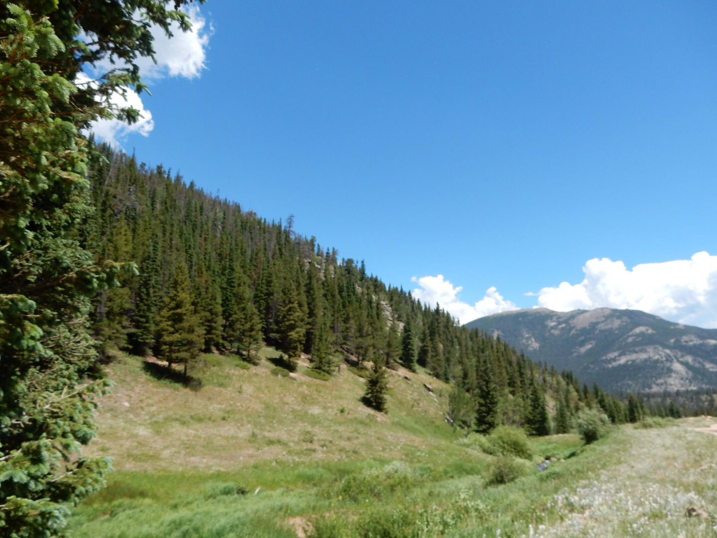
Tour Stop 1: Deer Ridge Junction - 8,940' At this lower altitude, there are open meadows with stands of ponderosa pines. With abundant grasses and berry-producing shrubs, there is plenty of food for mammals and birds here.

Tour Stop 2: Hidden Valley - 9,240' At one point, this was a downhill ski area. It is in the subalpine forest climate with Engelmann spruce and subalpine fur trees.
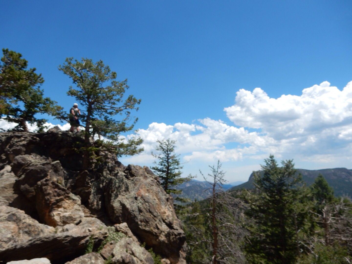
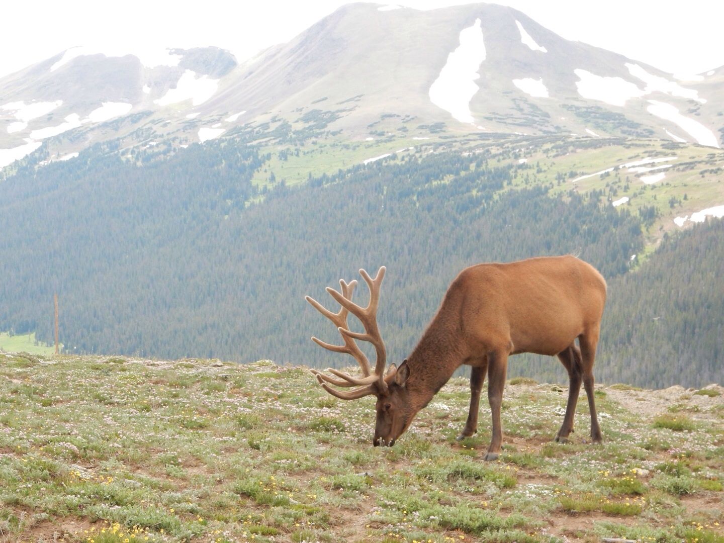
Tour Stop 3: Many Curves Park - 9,620' Beautiful panoramic view of mountain-enclosed meadows can be seen here. These majestic animals were not at all fazed by the many individuals who stopped to take photos of them! It was amazing to be so close to them.
We saw these elk very close to the road between tour stops.

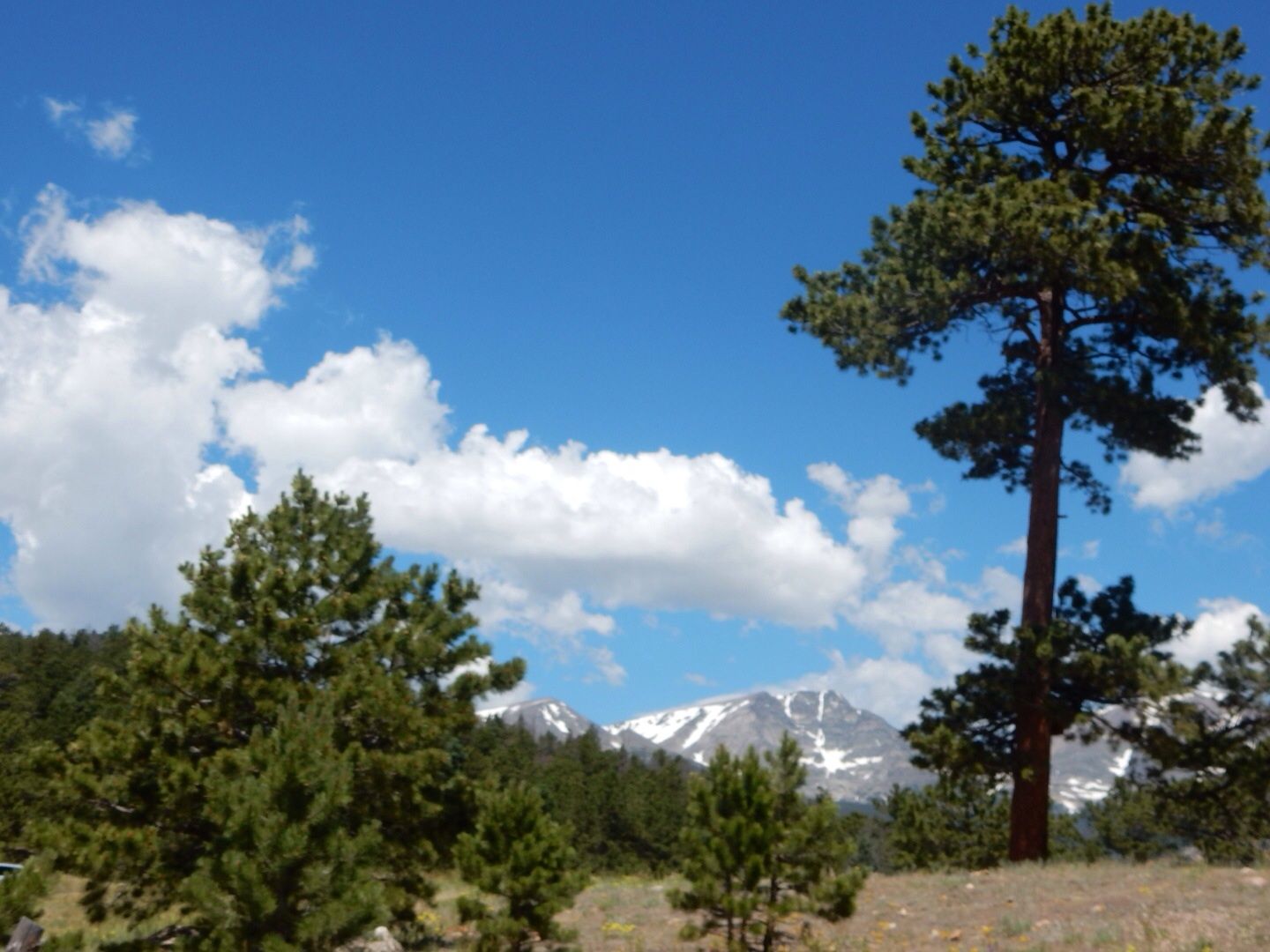
Tour Stop 4: Rainbow Curve - 10,829" More than 2 miles above sea level, trees are gnarled from the intense wind, ice and grit that is blown upon them much of the year.
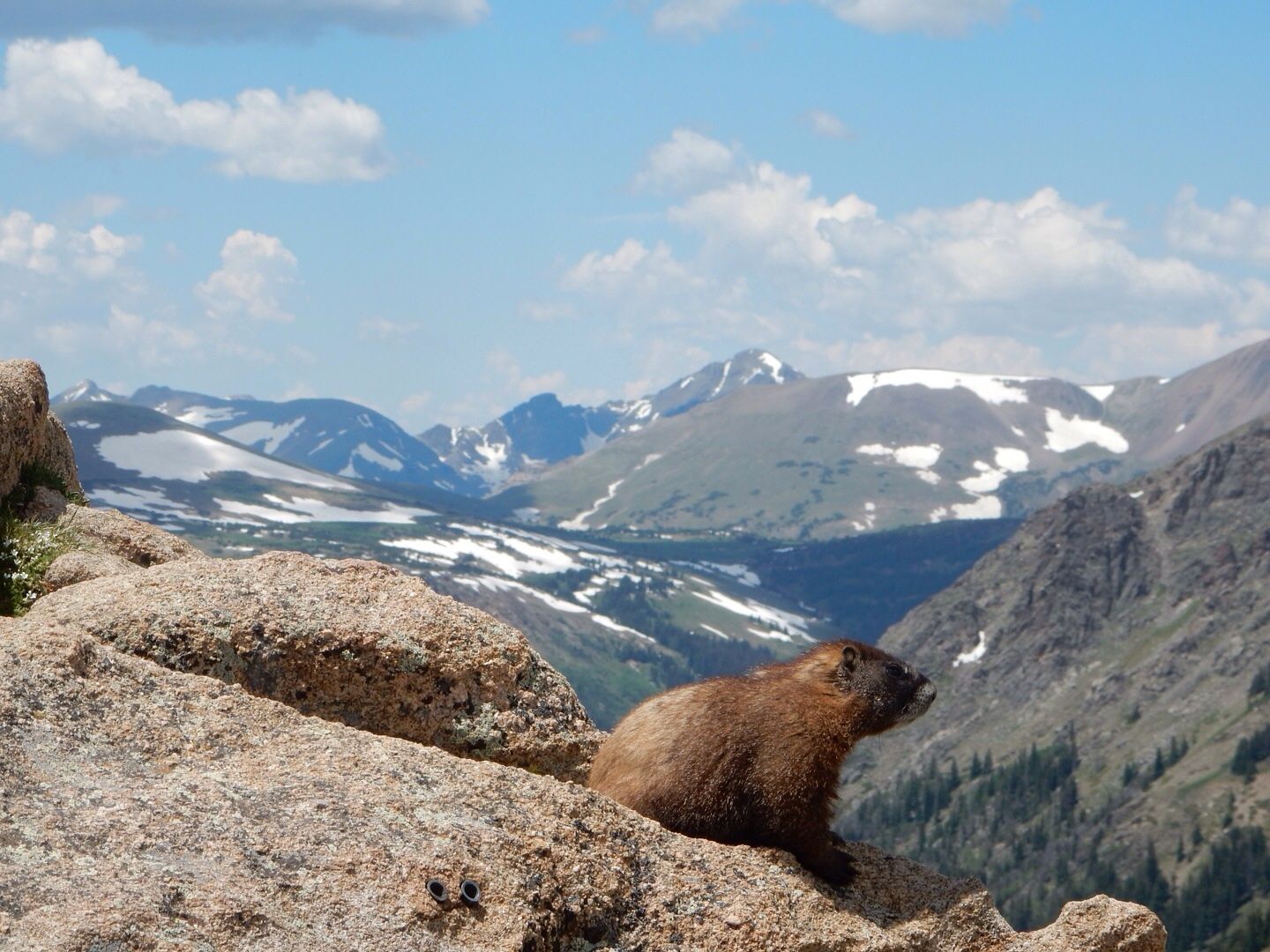
Yellow-bellied marmot. We saw lots of these little critters running around on the rocks at high altitudes.
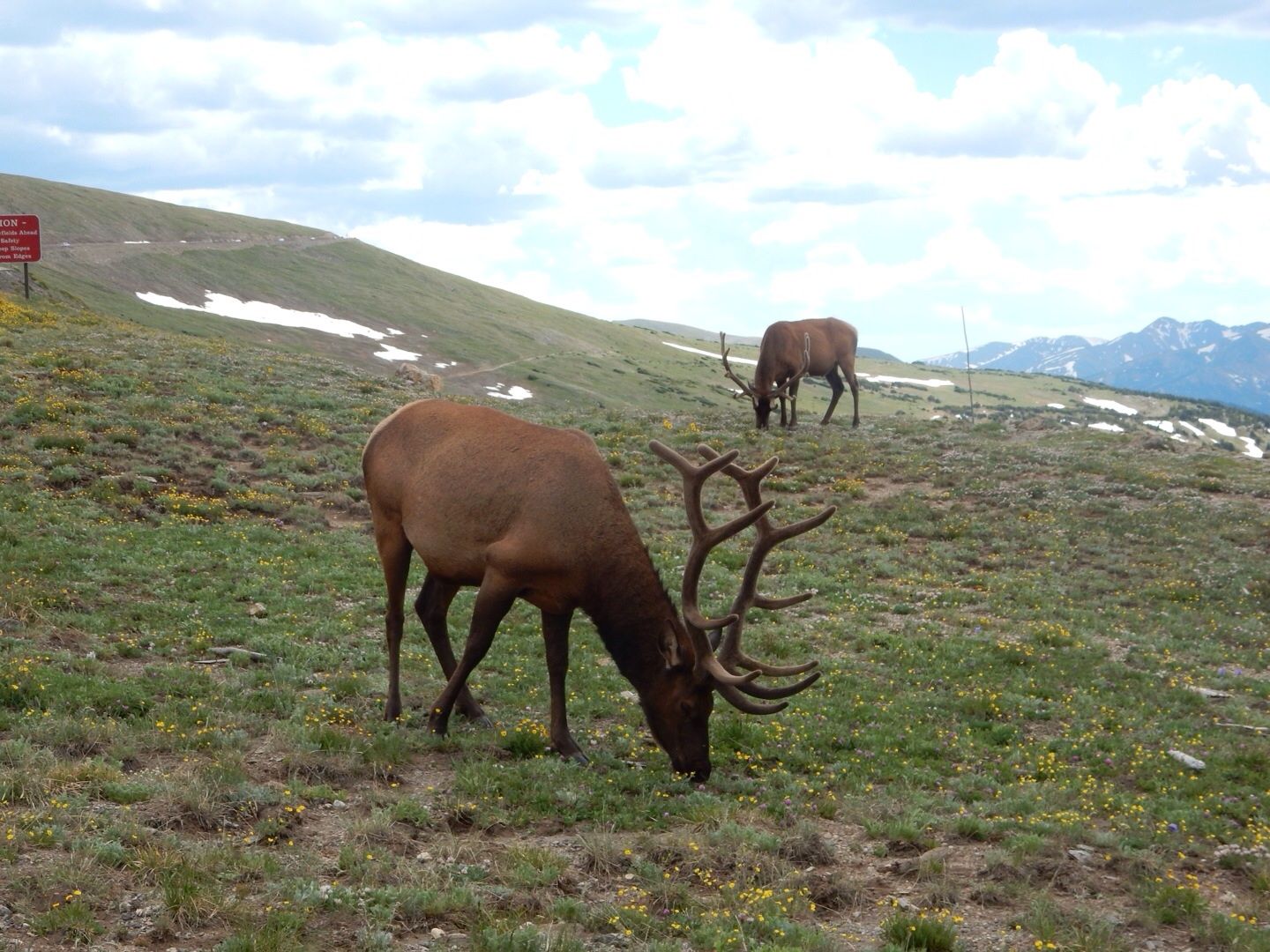
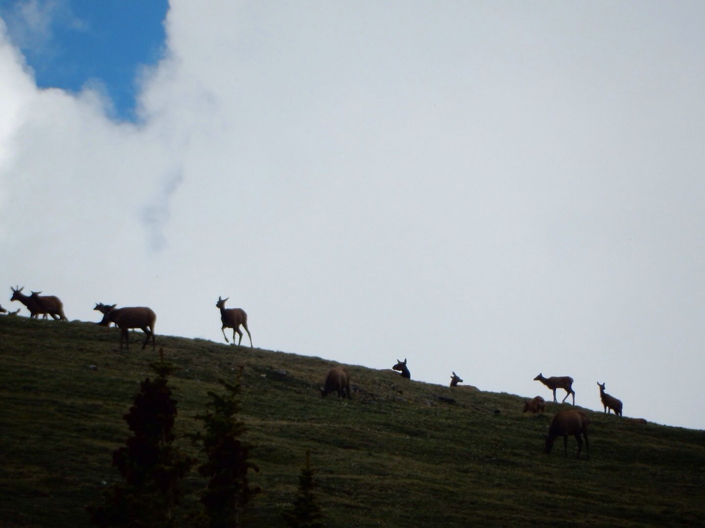
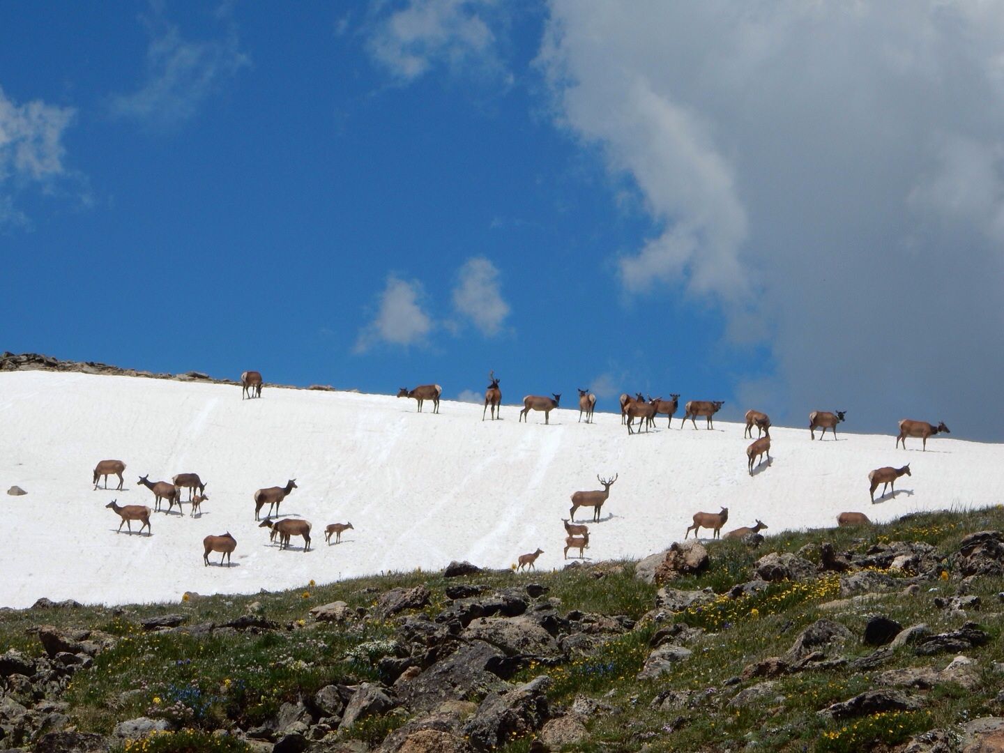
Spotted this herd high on ridge between tour stops.
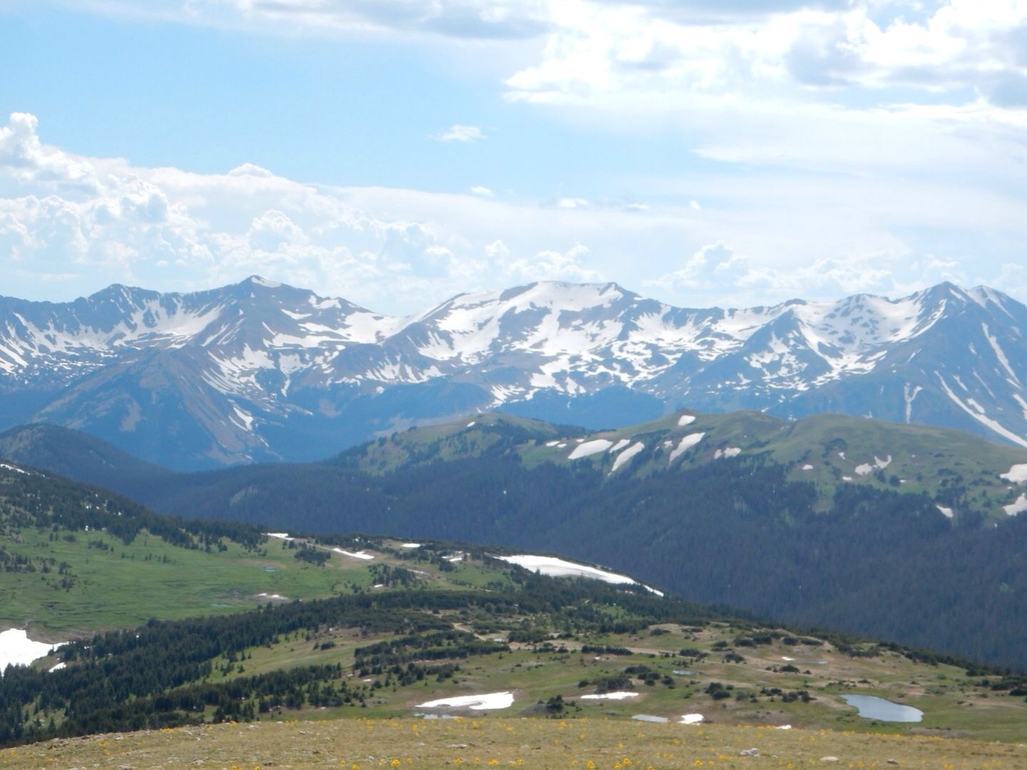
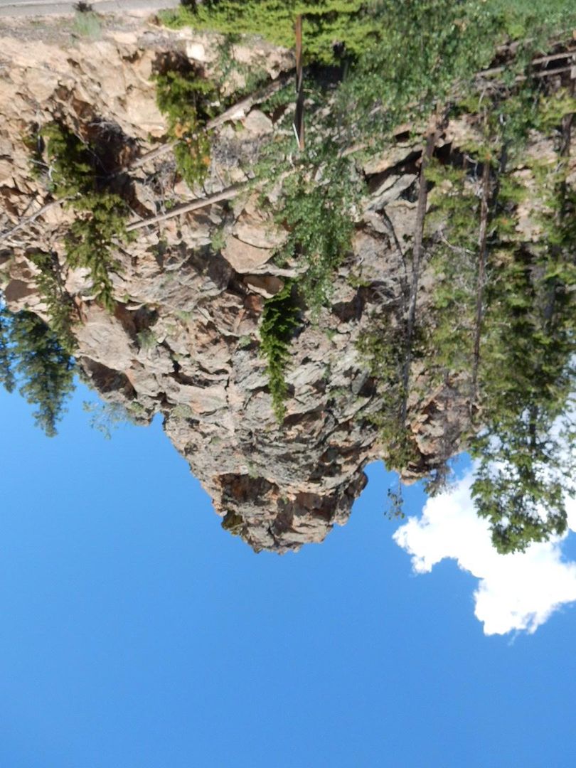
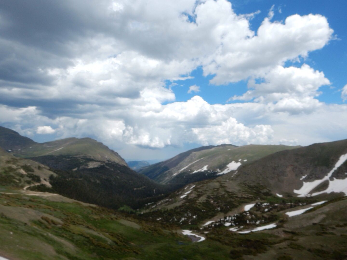
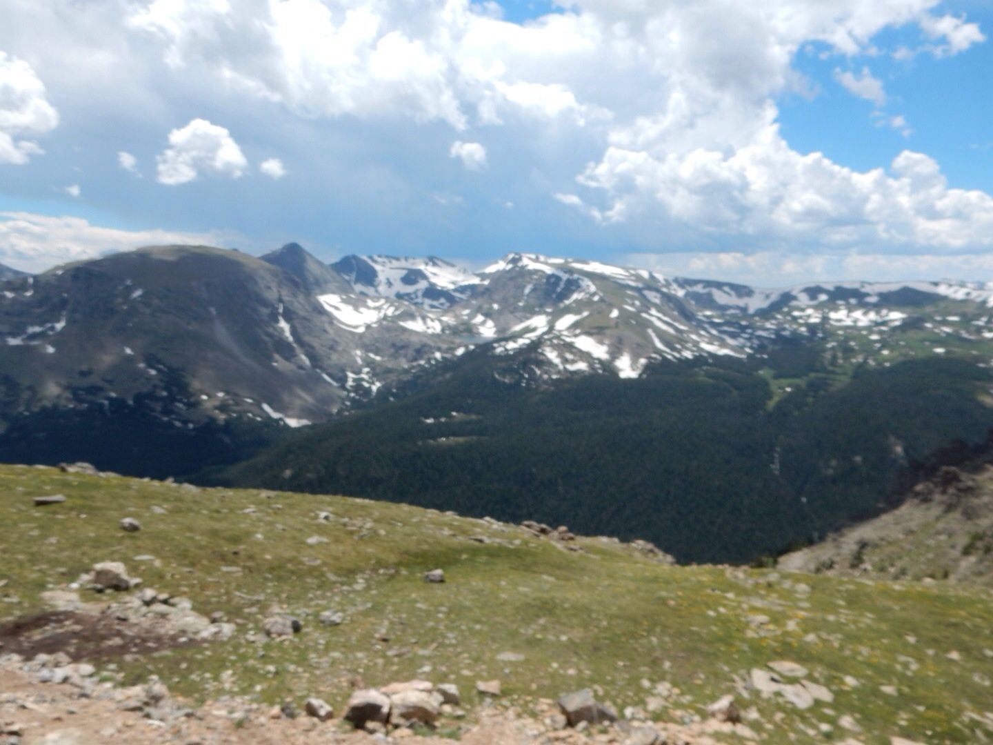
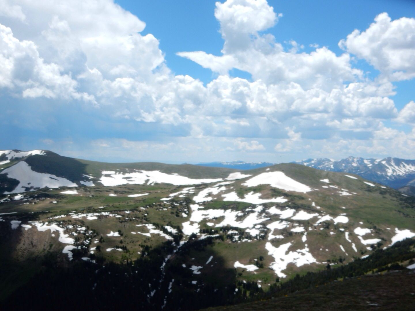
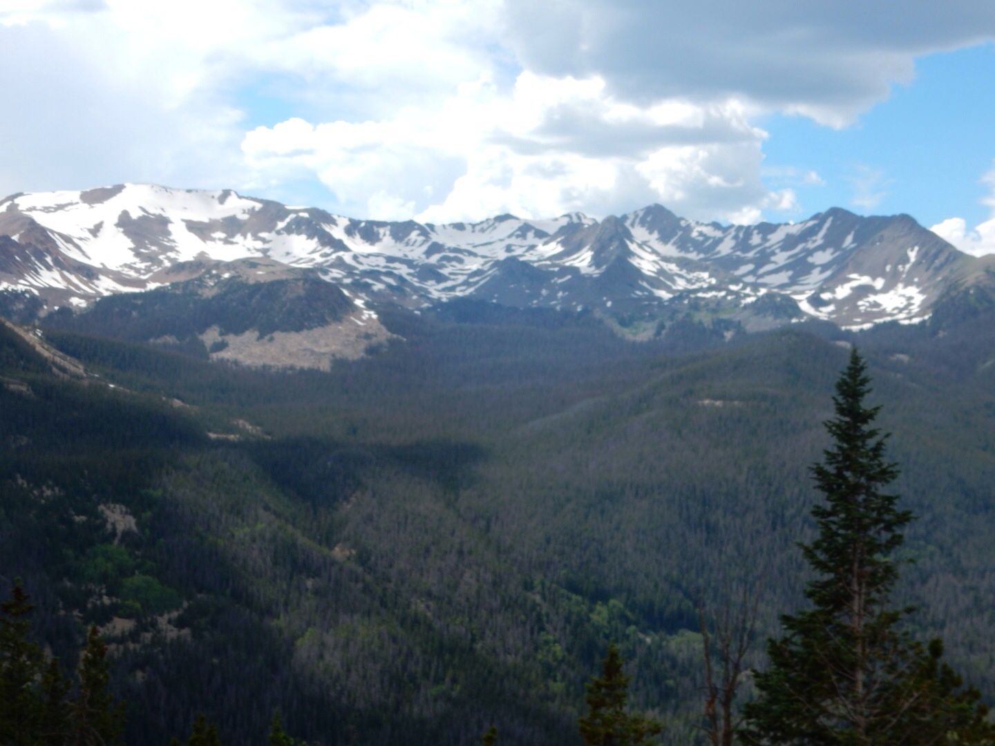
Tour Stop 5: Forest Canyon Overlook - 11,716' The erosive forces of glacial ice can be seen in the valleys below.
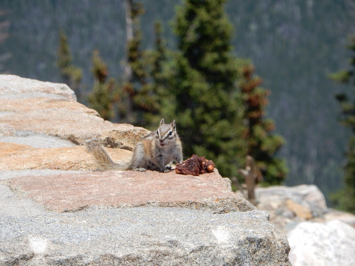
Cute little chipmunk...we saw lots of these, too.
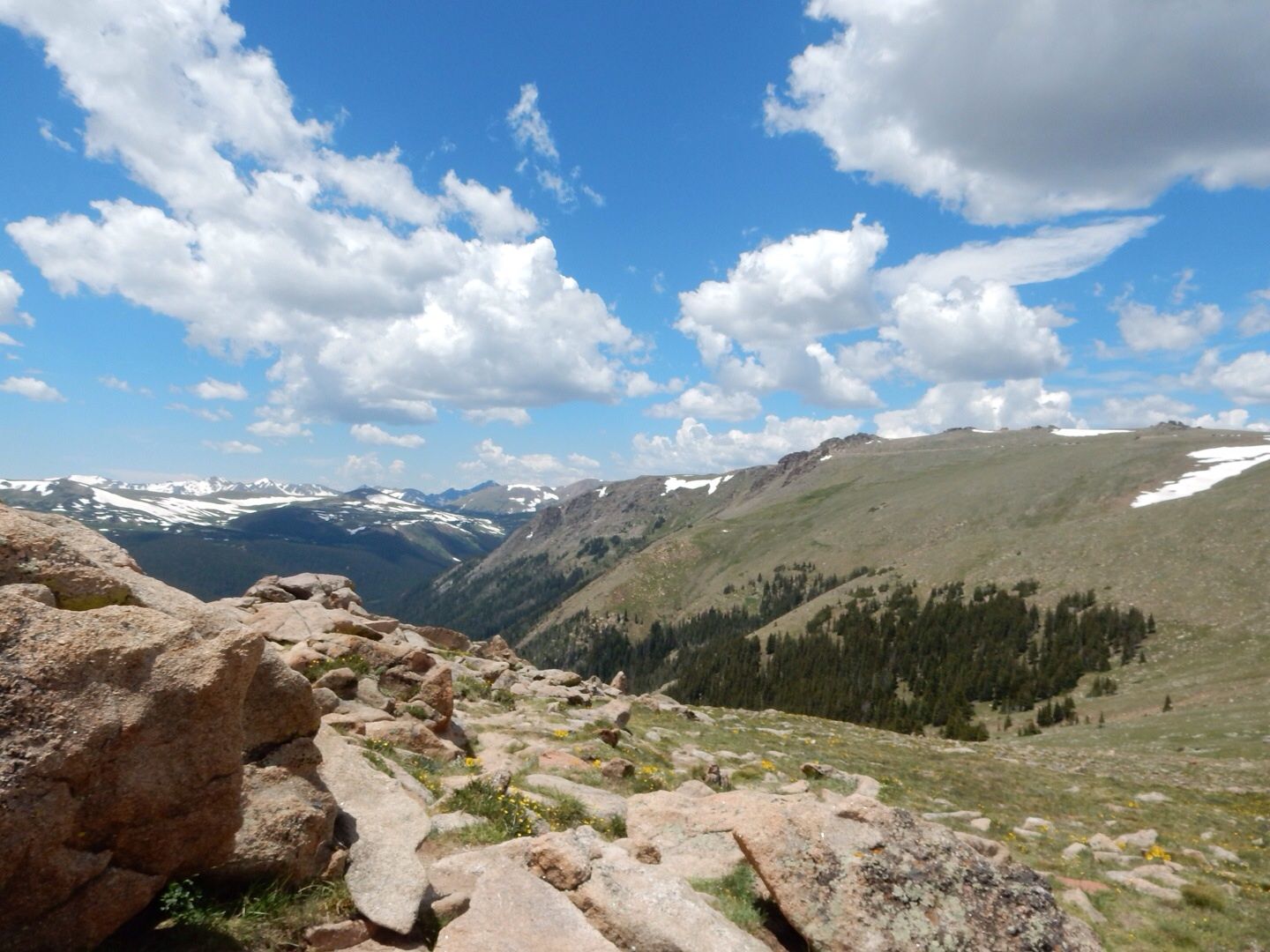
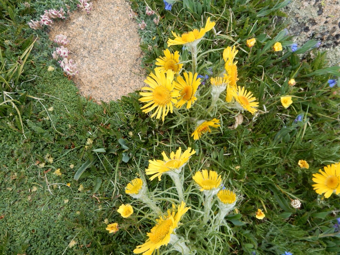
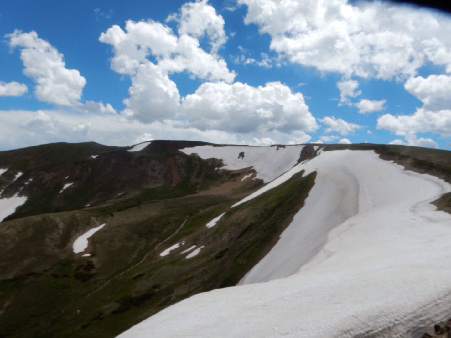
Tour Stop 6: Rock Cut - 12,110' Severe weather can come at any time at this altitude. Temperatures are below freezing all winter and can drop below freezing even in the summer. Winds can exceed 150 mph and UV radiation is extreme. Surprisingly there are over 100 species of flowering, close-to-the ground, alpine plants that grow here. Some only a couple of inches tall can have tap roots 6 feet deep.
Near Iceberg Pass we spotted this large herd of elk. Beautiful!
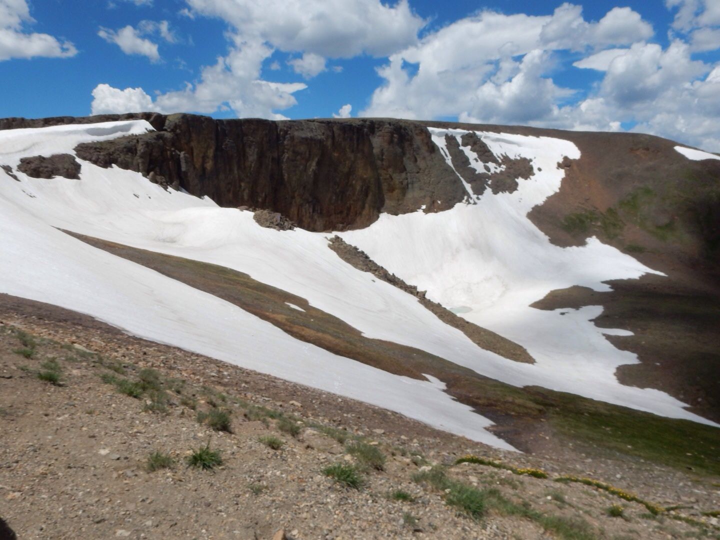
Tour Stop 7: Lava Cliffs - 12,080' Approximately 25M years ago, volcanos repeatedly erupted in an area 8 miles west of here. One flow of hot ash extended to this point forming the rocks at this location.
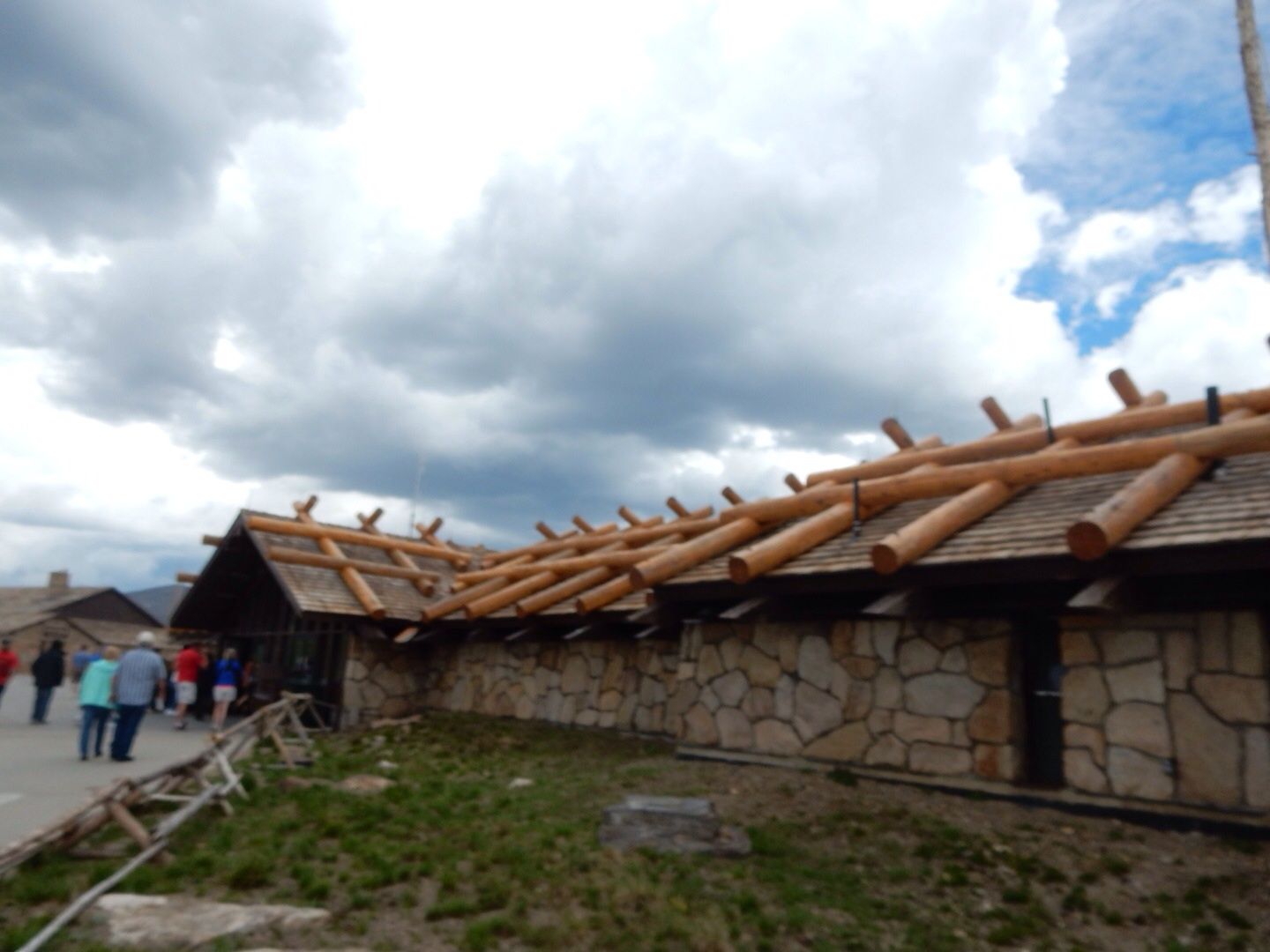
Tour Stop 8: Alpine Visitor Center - 11,796' There is a lovely gift shop, exhibit area, and cafe at this location. The beams atop the building keep the heavy snowfall from caving in the roof in the winter.
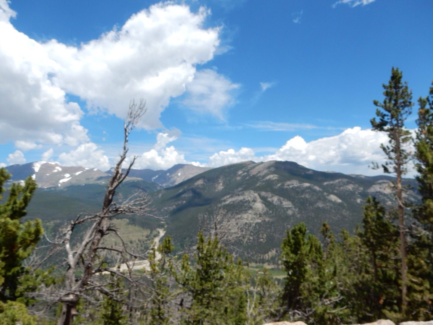
Tour Stop 9: Medicine Bow Curve - 11,640' The Medicine Bow Mountains that are located in Colorado and Wyoming can be seen from this point. The Cache La Poudre River can be seen at the bottom of the valley.
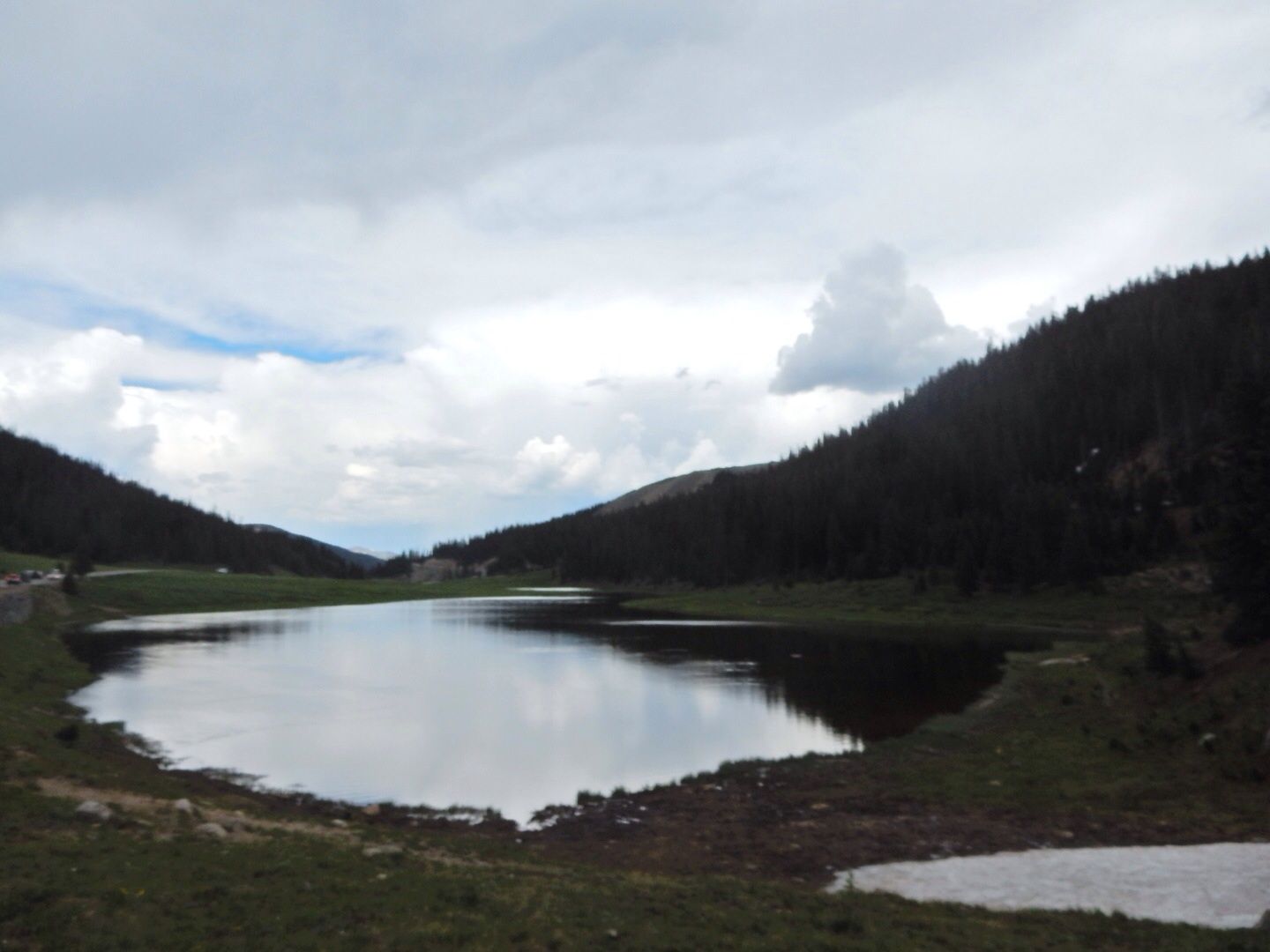
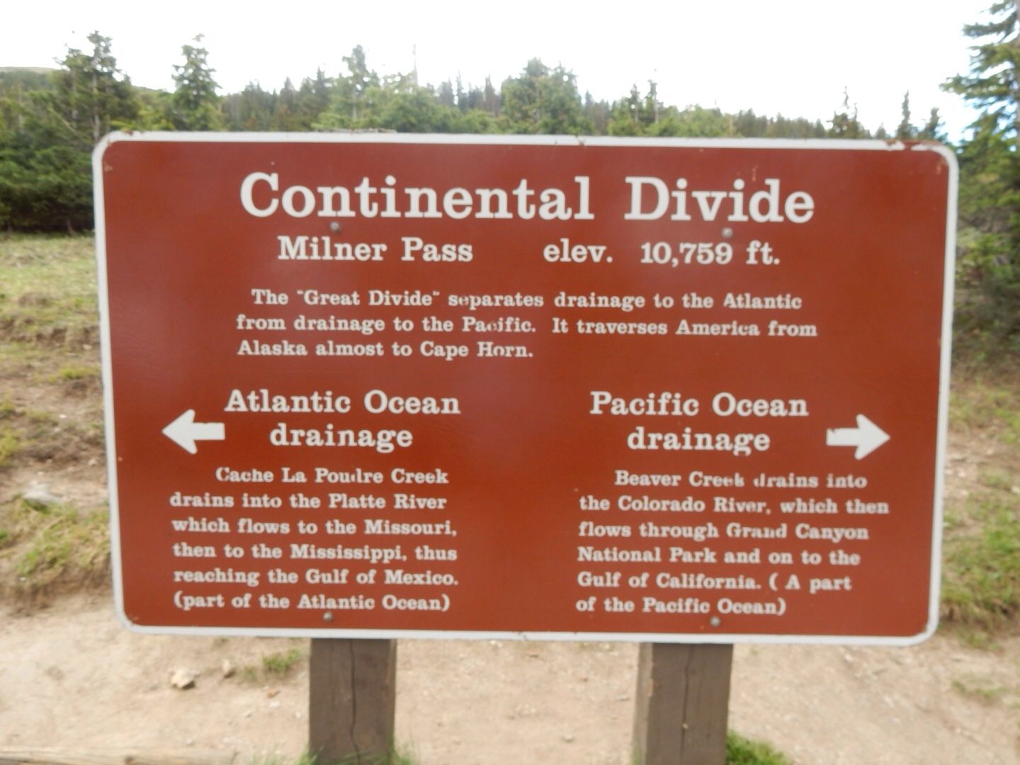
Tour Stop 10: Milner Pass - 10'758' This is the point at which the Trail Ridge Road crosses the Continental Divide. Poudre Lake releases its water into the Cache la Poudre River which flows eastward towards the Atlantic Ocean.
Tour Stop 11: Farview Curve - 10,120' The Colorado River (the same one that later carved the Grand Canyon) that flows through the Kawuneeche Valley can be seen from this point. The river originates 5 miles north and flows 1,400 miles through five states.
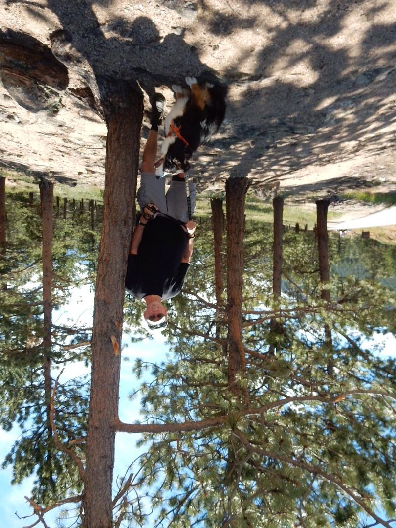
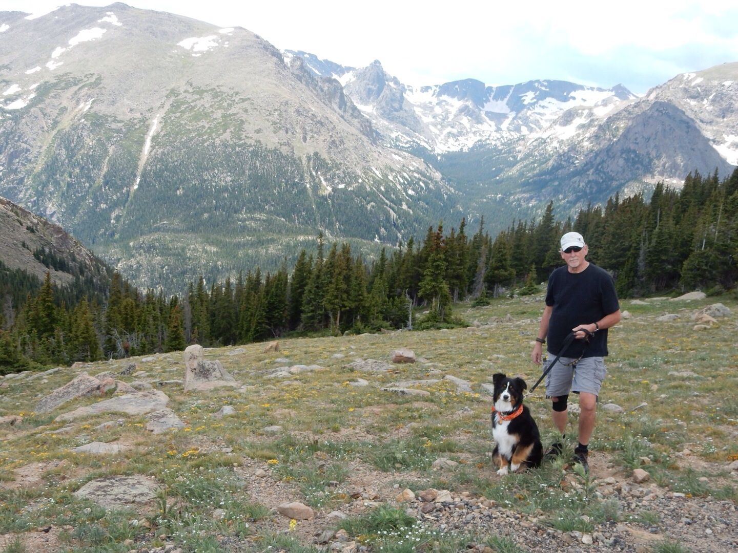
Tour Stop 12: Holzwarth Historic Site John Holzwarth's homestead claim (1917) is found here where he intended to build a cattle ranch. It was re-developed into a popular resort (1920) known as the Holzwarth Trout Lodge. It is now preserved as a dude ranch of the 1920s and is a 1/2 mile walk from the parking area.We spent about 5 hours in total during our drive, stopping at each designated area and visiting the Alpine Center (the 8th of 12 tour stops). We had lunch and perused the gift shop and information center there. We brought our doggy, Sadie, with us, which is permitted, but dogs are not allowed on any paths or the delicate alpine tundra.
A few miles after the 12th tour stop, we did a u-turn and returned back to the eastern entrance of the park. There is no direct way to return to Estes Park from the Kawuneeche Visitor Center exit.
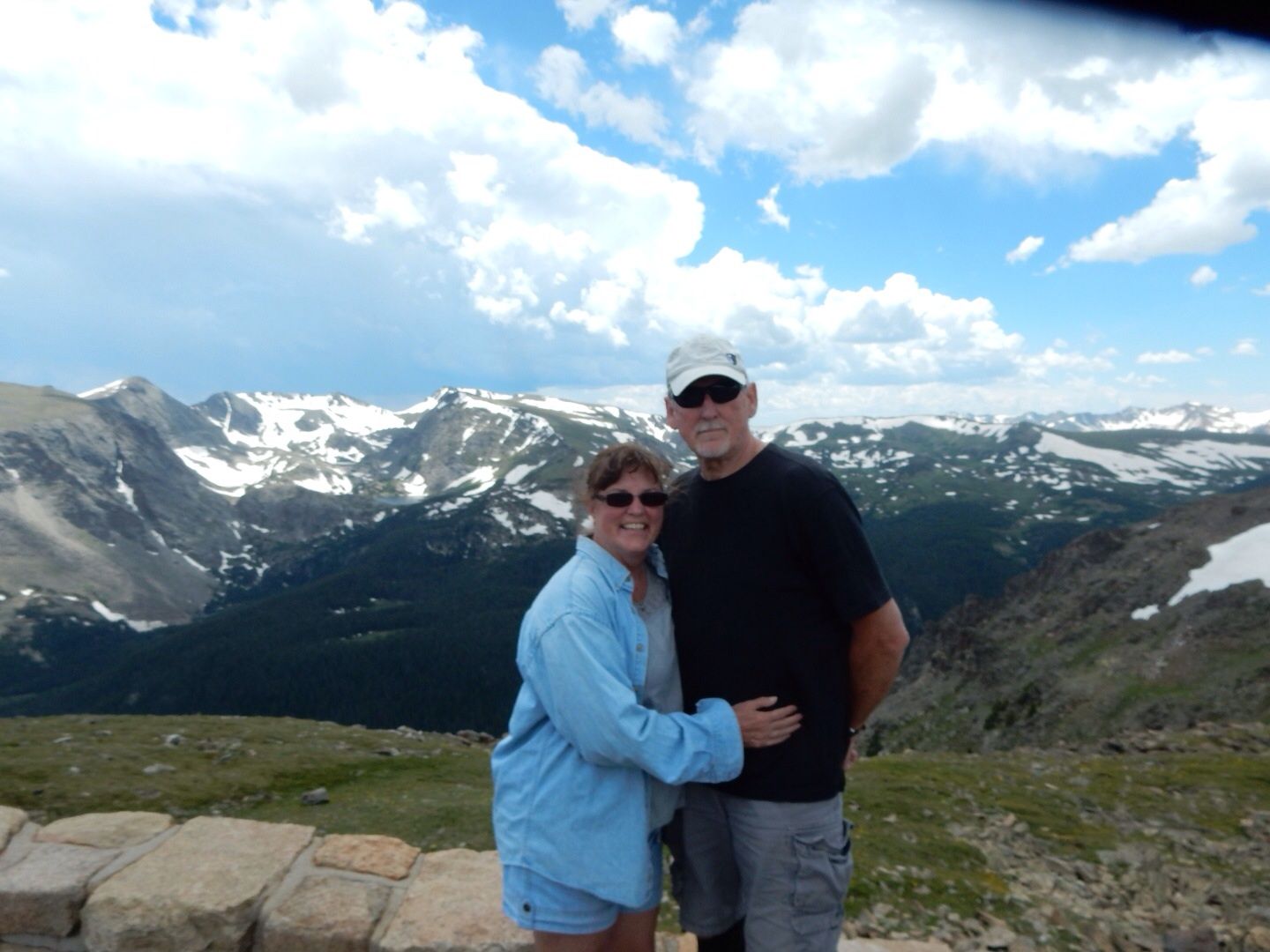
This is one of the best experiences we have had! Everyone here in the U.S. should see this place one time during their lifetime...
Entrance to the park is $20 per vehicle. John has a Senior Pass that cost $10 and is valid for life (one of the perks of age!) so we are able to get into all National Park Service locations for free.
Website: www.nps.gov.romo
YouTube Channel: TheRMNP
No comments:
Post a Comment